Elevation of Lepreau, NB, Canada
Location: Canada > New Brunswick > Charlotte County >
Longitude: -66.516623
Latitude: 45.1922691
Elevation: 77m / 253feet
Barometric Pressure: 100KPa
Elevation Map:
Satellite Map:
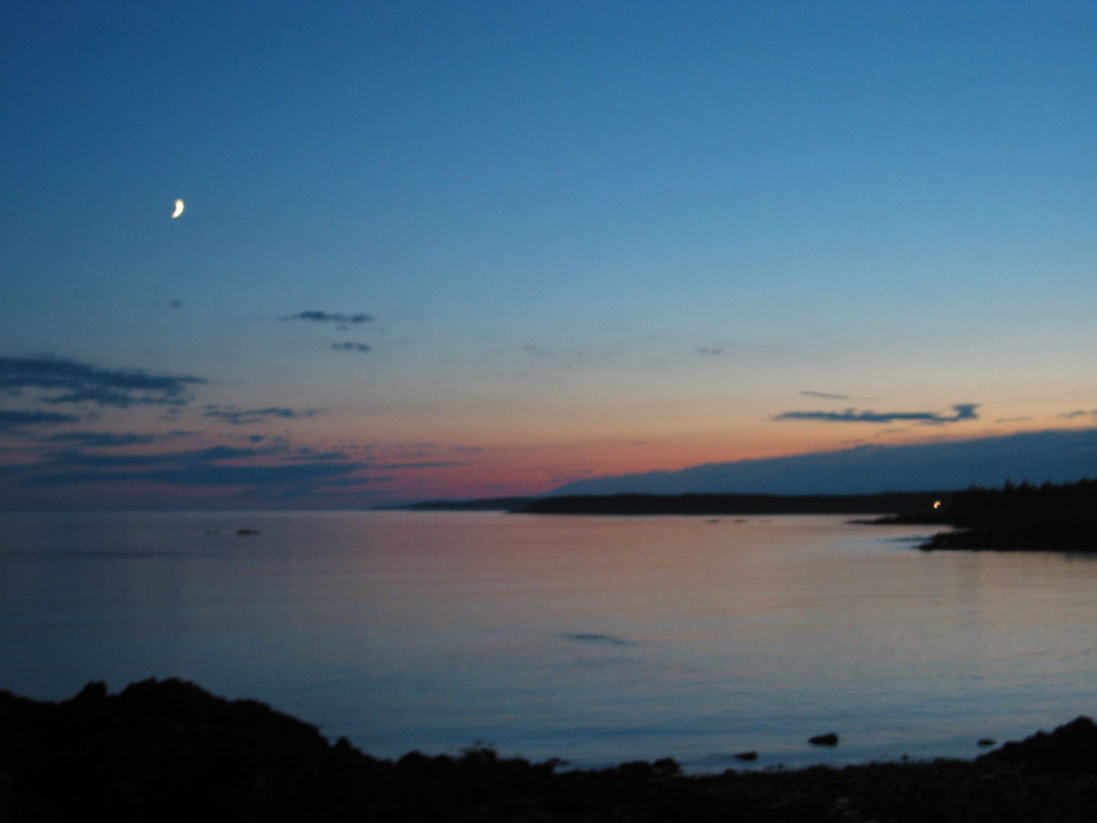
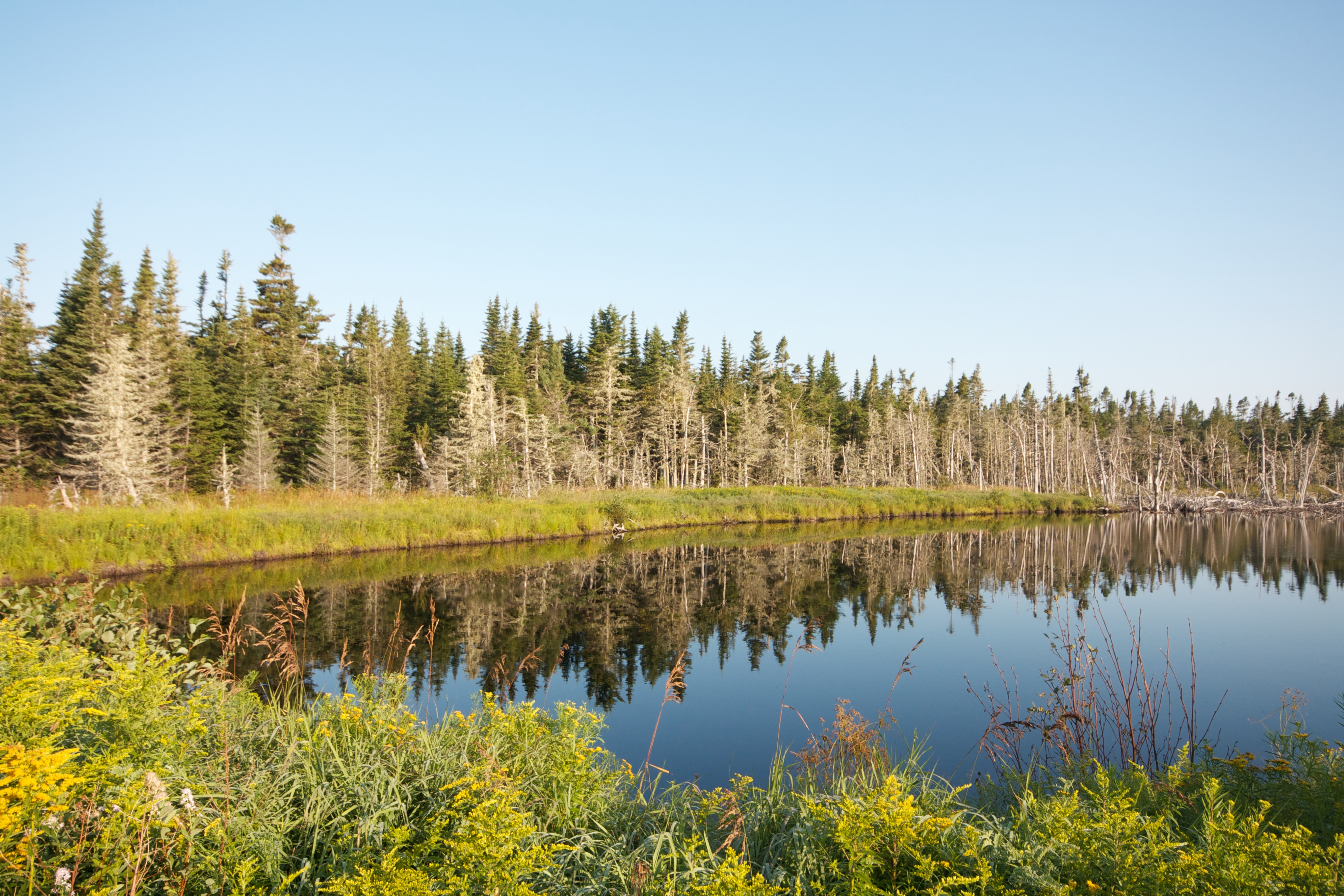
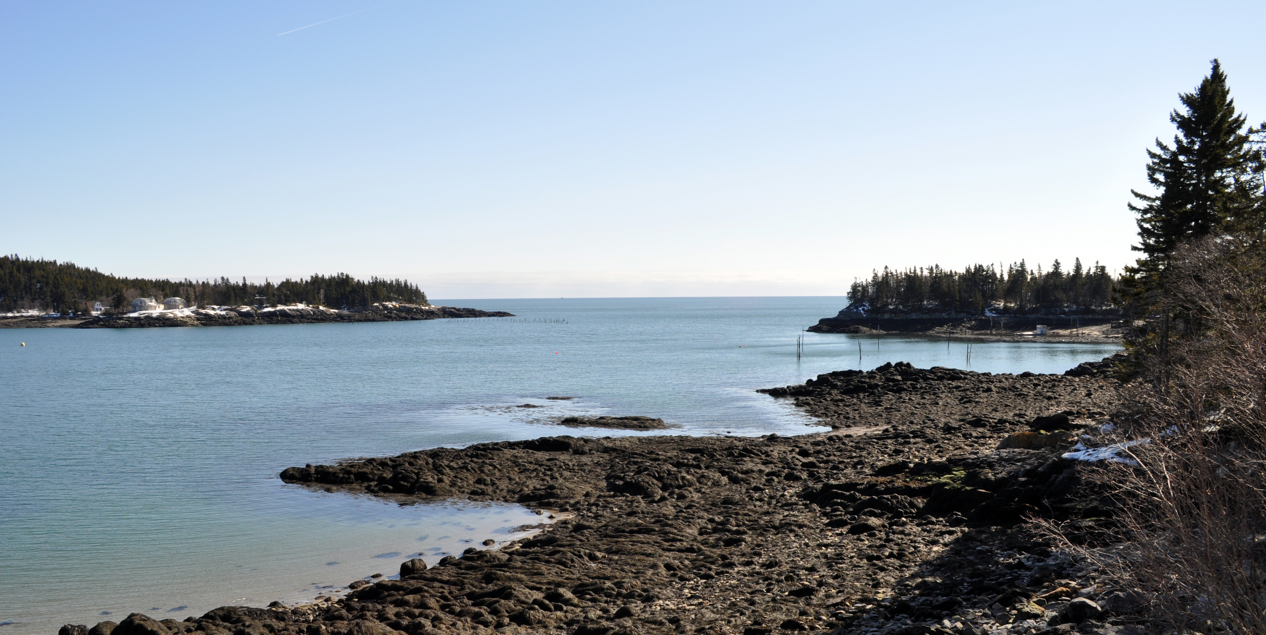
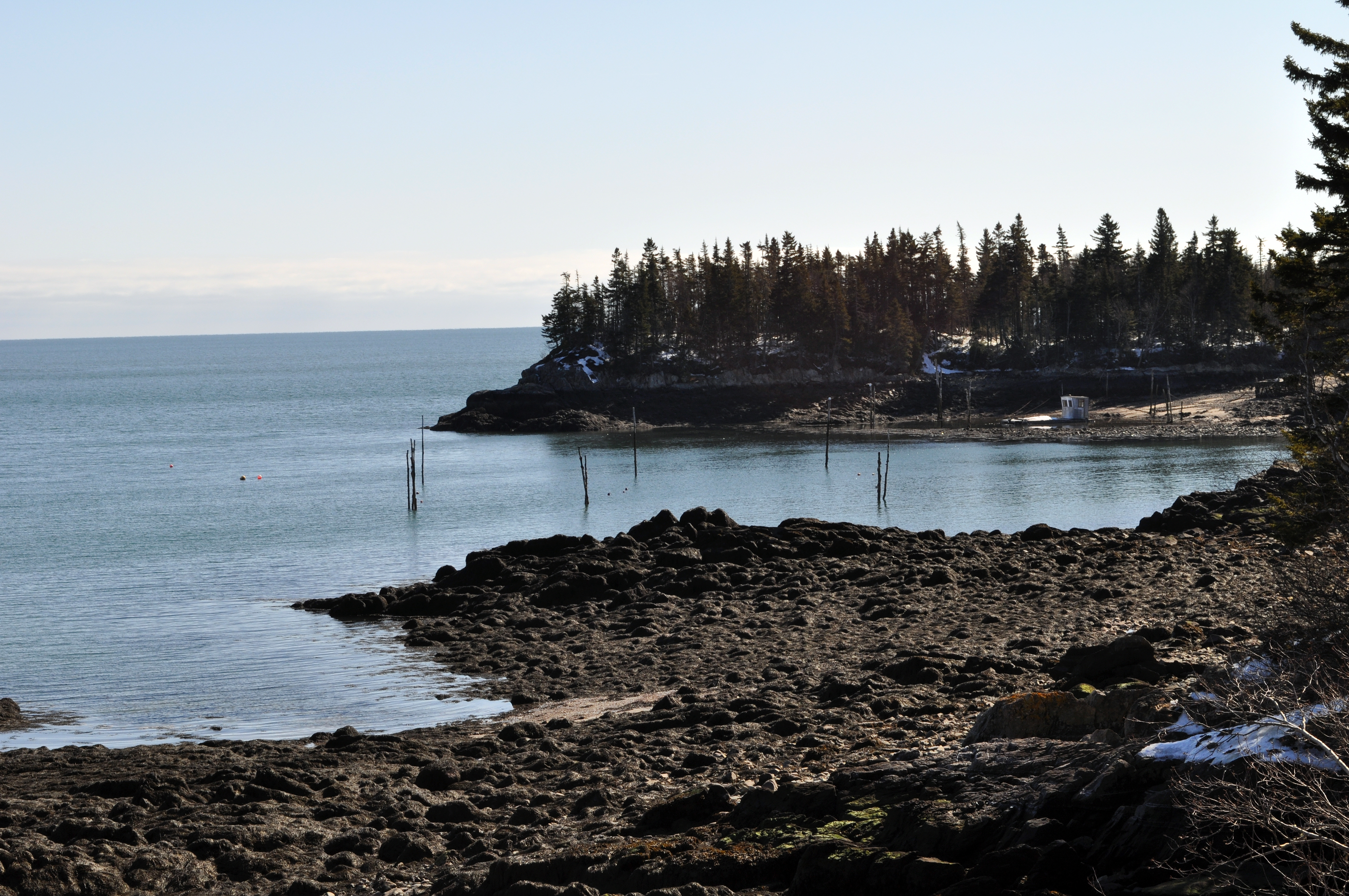
Related Photos:
LP_Panorama5
0004902
Lepreau falls - High tide
July 20th, New Brunswick

Northern Herrier
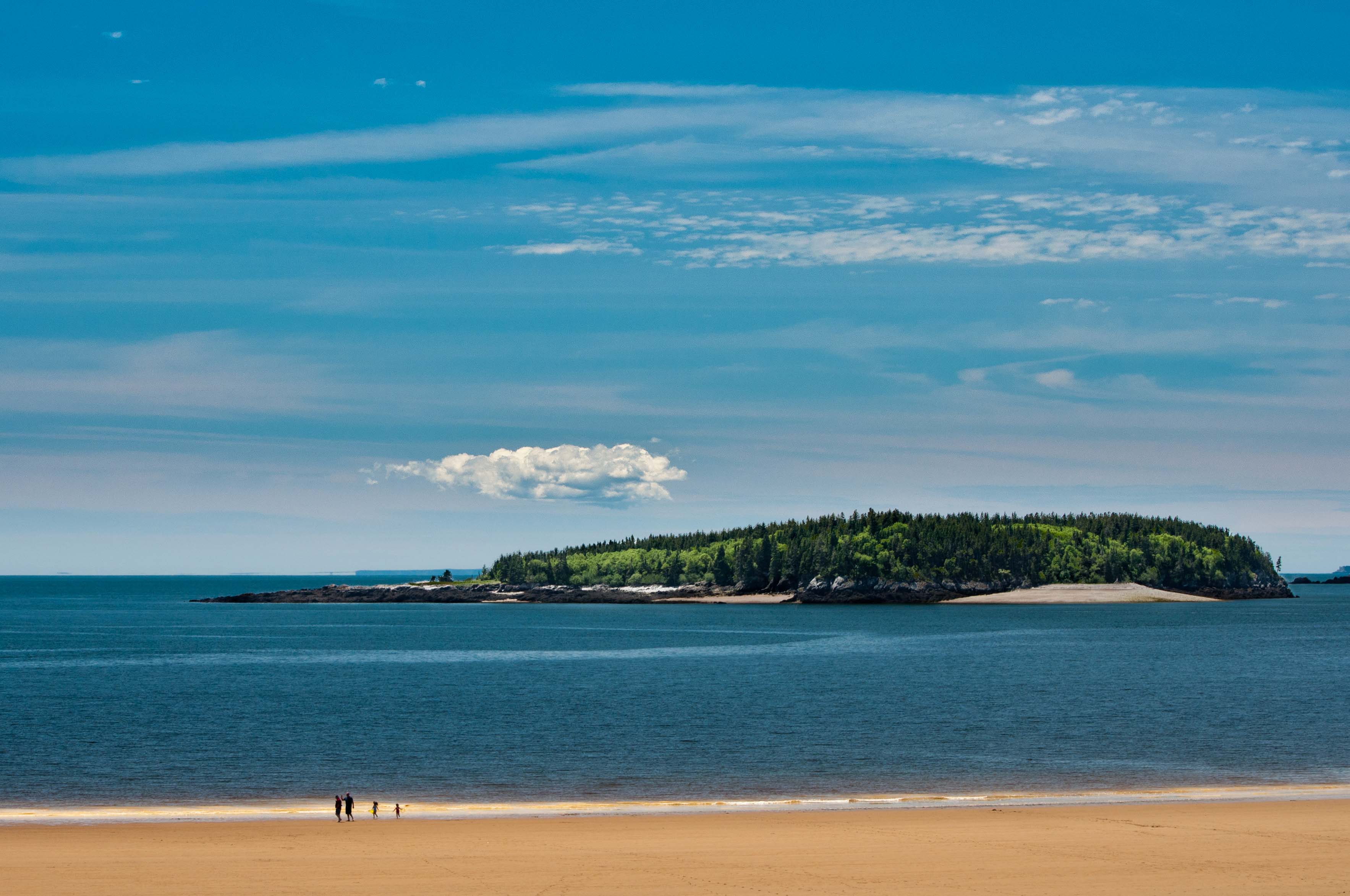
New River beach Island

Waterfalls near St John, NB
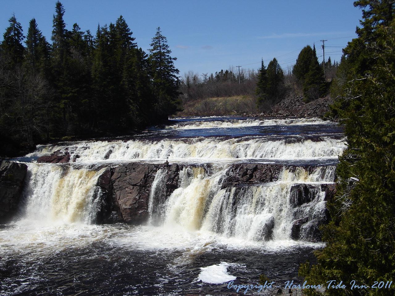
Lepreau Falls 006

RoadTrip200708 132
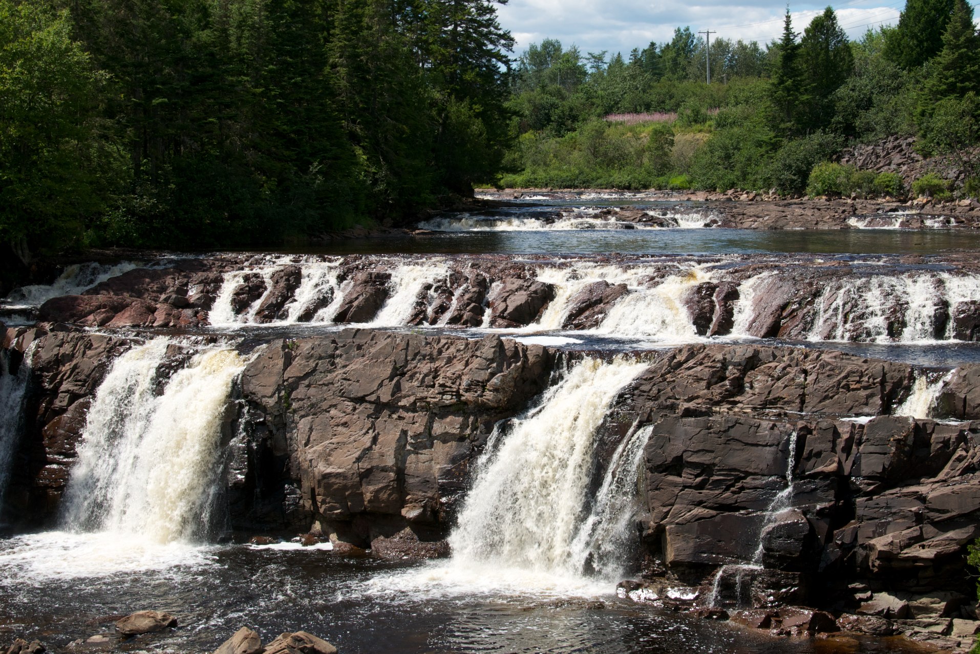
Waterfalls near St John, NB
RoadTrip200708 163
RoadTrip200708 131
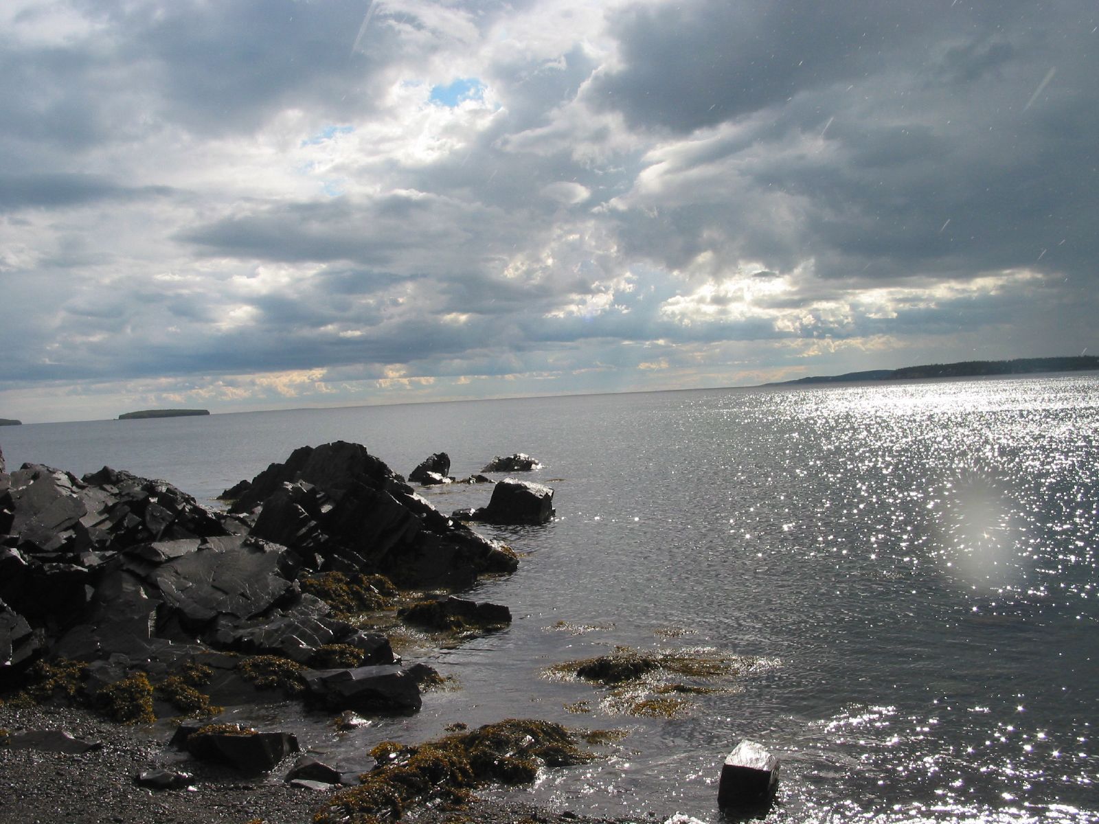
Dipper Harbor campsite
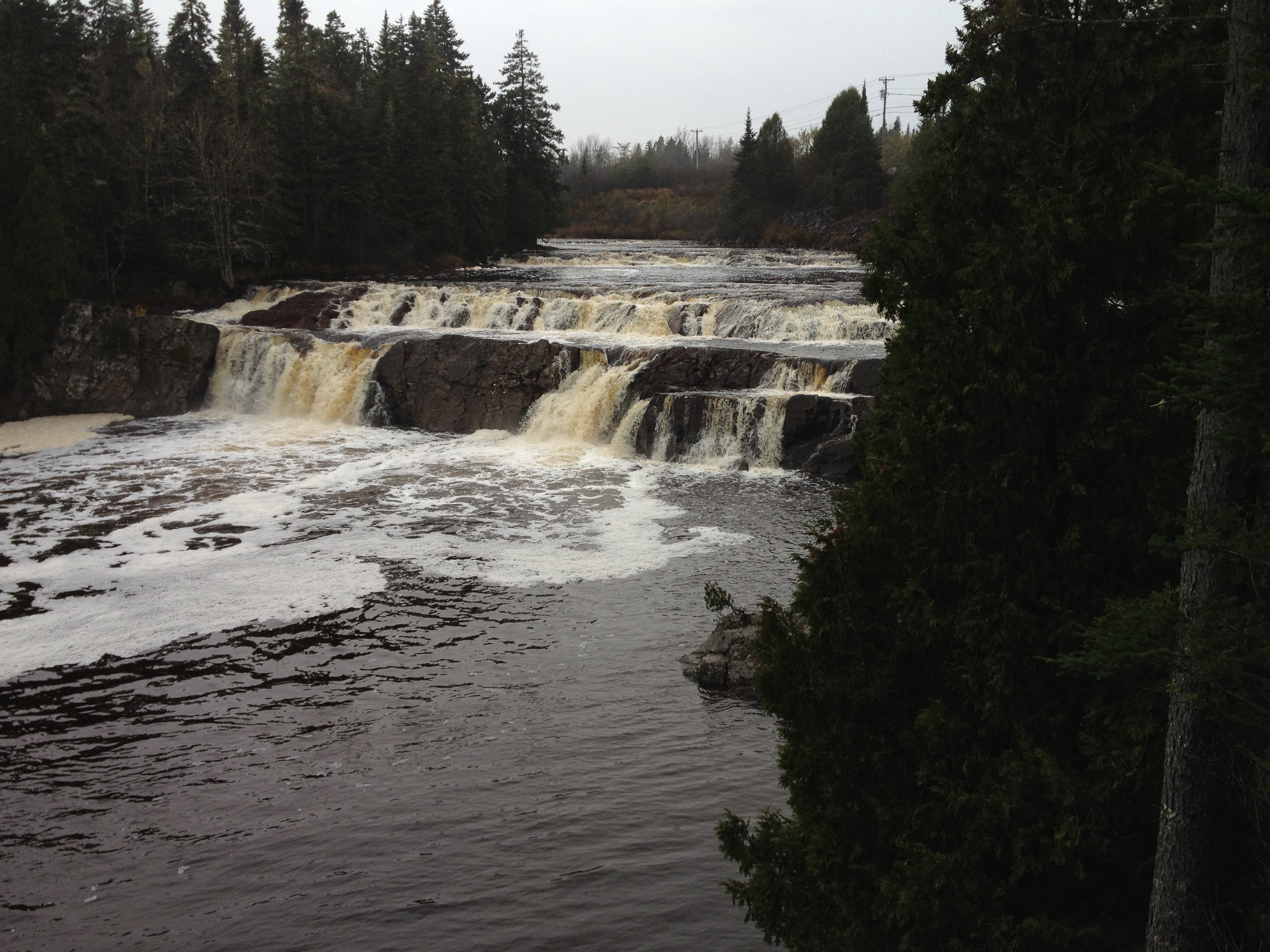
Lepreau Falls III
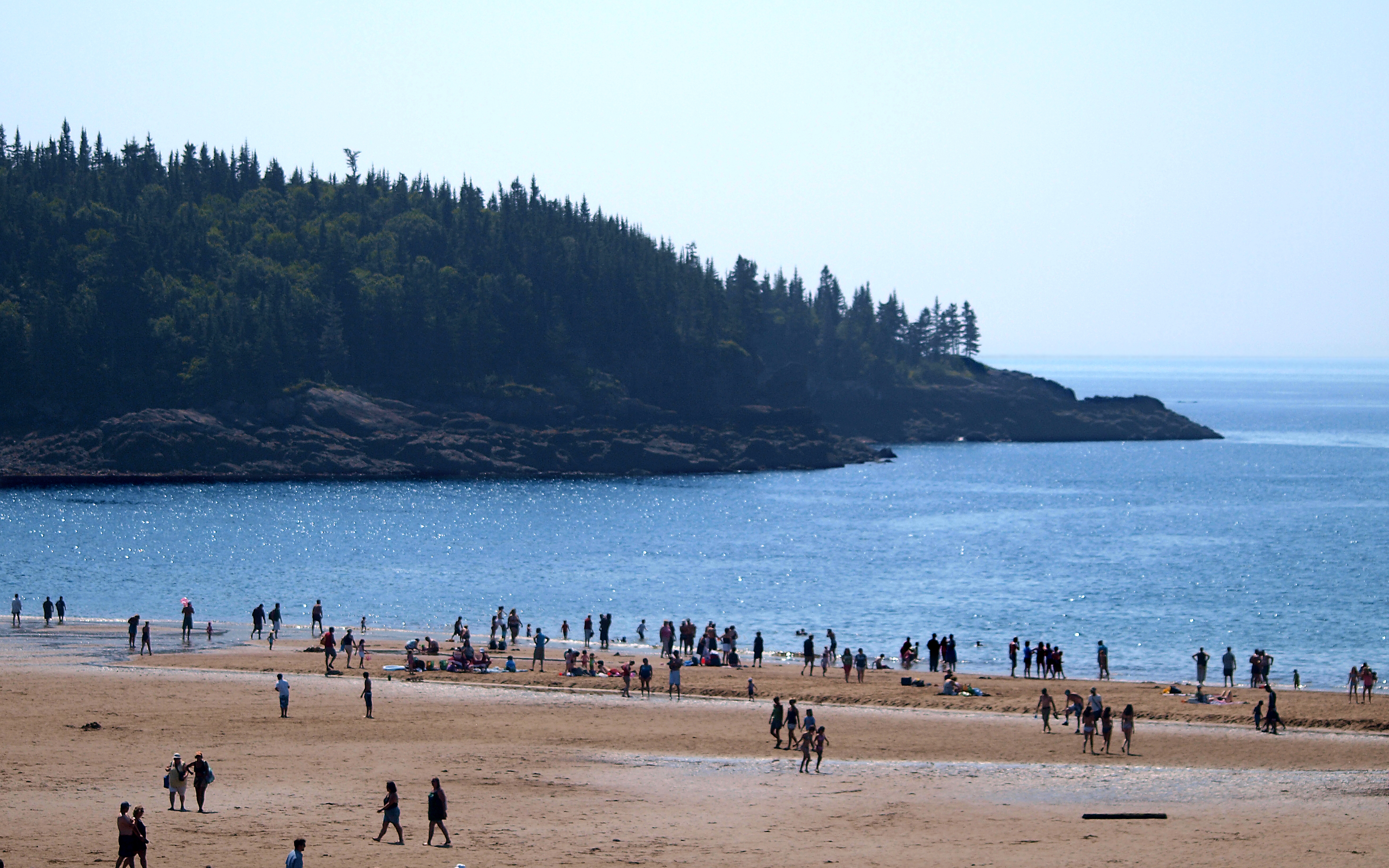
New River Beach Scenery 2009 0054 copy 16x10

It's a Trap!
Seeley's Cove, NB
Seeley's Cove, NB

Lepreau Falls II

Foggy day at the beach
Topographic Map of Lepreau, NB, Canada
Find elevation by address:

Places in Lepreau, NB, Canada:
Places near Lepreau, NB, Canada:
Lepreau
Pennfield
504 Seeleys Cove Rd
Seeleys Cove
Seeleys Cove Rd, Seeleys Cove, NB E5H 2E5, Canada
E5h
Westfield
Foleys Cove Road
Woodland Rd, Pennfield, NB E5H 2A2, Canada
Prince Of Wales
Pennfield
184 Nb-176
NB-, Utopia, NB E5C 2K3, Canada
Eagle Rock Rd, Westfield, NB E5K, Canada
44 Mt Pleasant Rd
Nerepis
26 Point Rd, Nerepis, NB E5K 4S6, Canada
Saint George
Grand Bay-westfield
Nerepis Rd, Grand Bay-Westfield, NB E5K 2Z9, Canada
Recent Searches:
- Elevation of SW 57th Ave, Portland, OR, USA
- Elevation of Crocker Dr, Vacaville, CA, USA
- Elevation of Pu Ngaol Community Meeting Hall, HWHM+3X7, Krong Saen Monourom, Cambodia
- Elevation of Royal Ontario Museum, Queens Park, Toronto, ON M5S 2C6, Canada
- Elevation of Groblershoop, South Africa
- Elevation of Power Generation Enterprises | Industrial Diesel Generators, Oak Ave, Canyon Country, CA, USA
- Elevation of Chesaw Rd, Oroville, WA, USA
- Elevation of N, Mt Pleasant, UT, USA
- Elevation of 6 Rue Jules Ferry, Beausoleil, France
- Elevation of Sattva Horizon, 4JC6+G9P, Vinayak Nagar, Kattigenahalli, Bengaluru, Karnataka, India