Elevation of Pennfield, NB, Canada
Location: Canada > New Brunswick > Charlotte County > Pennfield >
Longitude: -66.741206
Latitude: 45.1130529
Elevation: 73m / 240feet
Barometric Pressure: 100KPa
Elevation Map:
Satellite Map:
Related Photos:
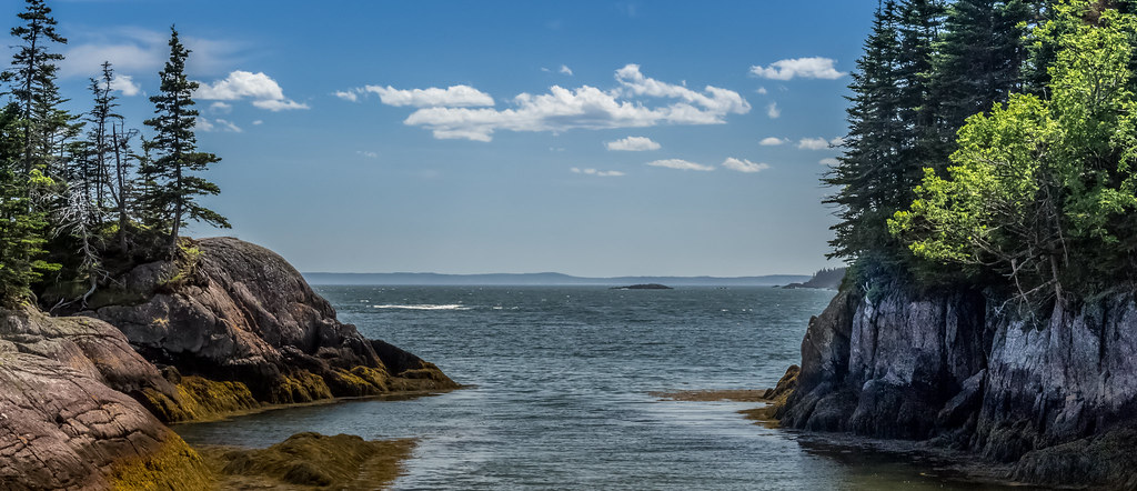
Passage View
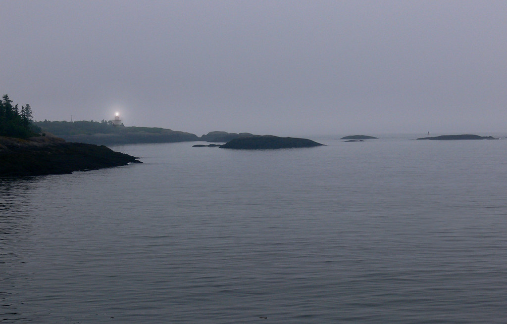
to light your way home
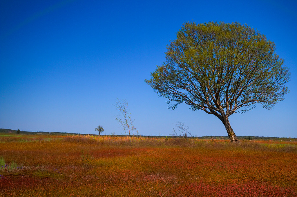
Wind Blown
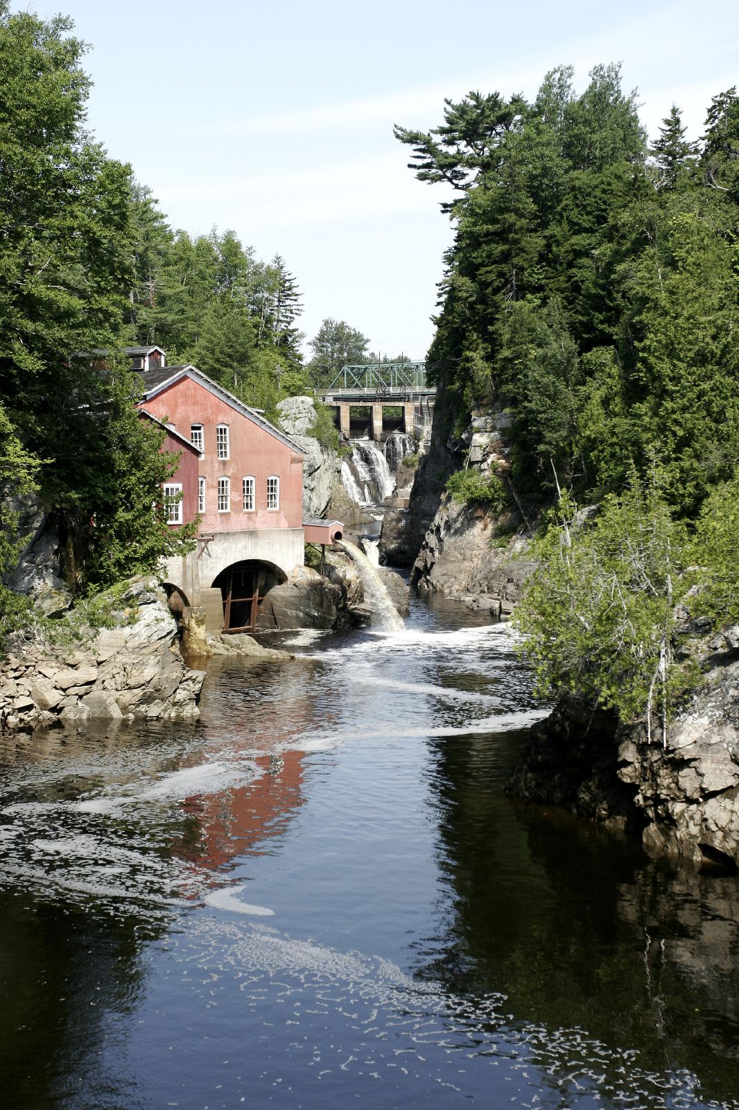
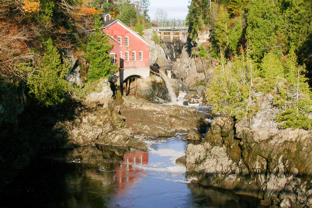
Lepreau Falls 013
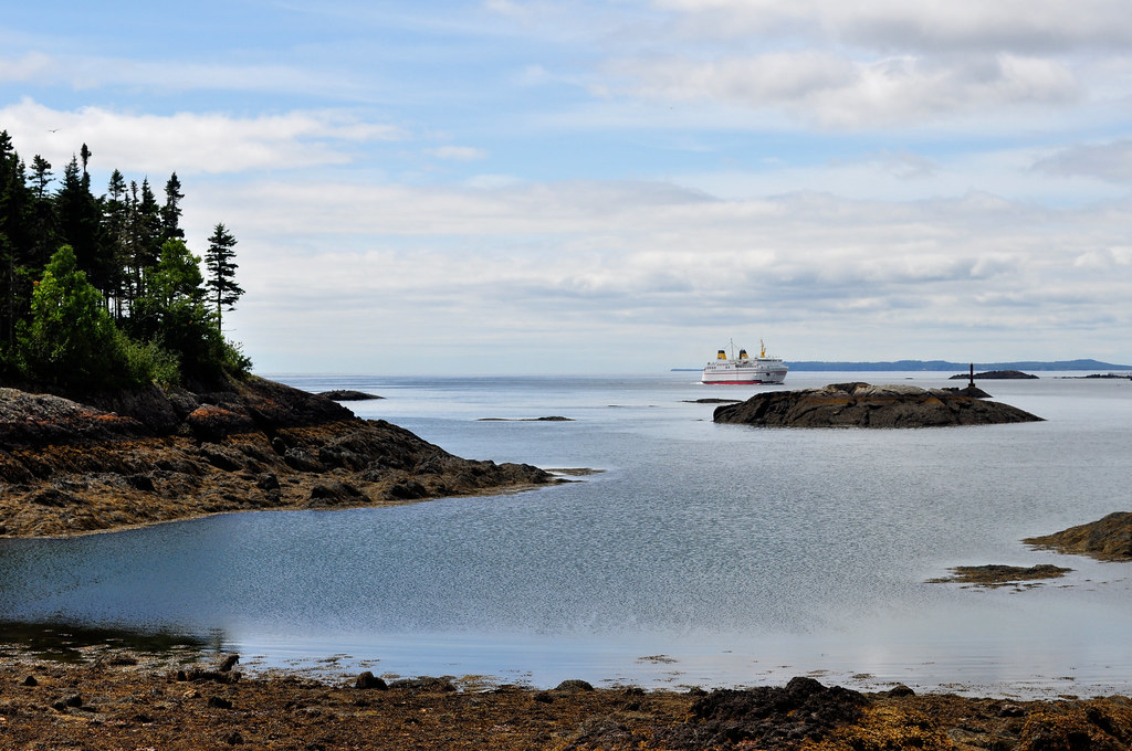
L'Etete

Blacks Harbour
Blacks Harbour
Three Phases
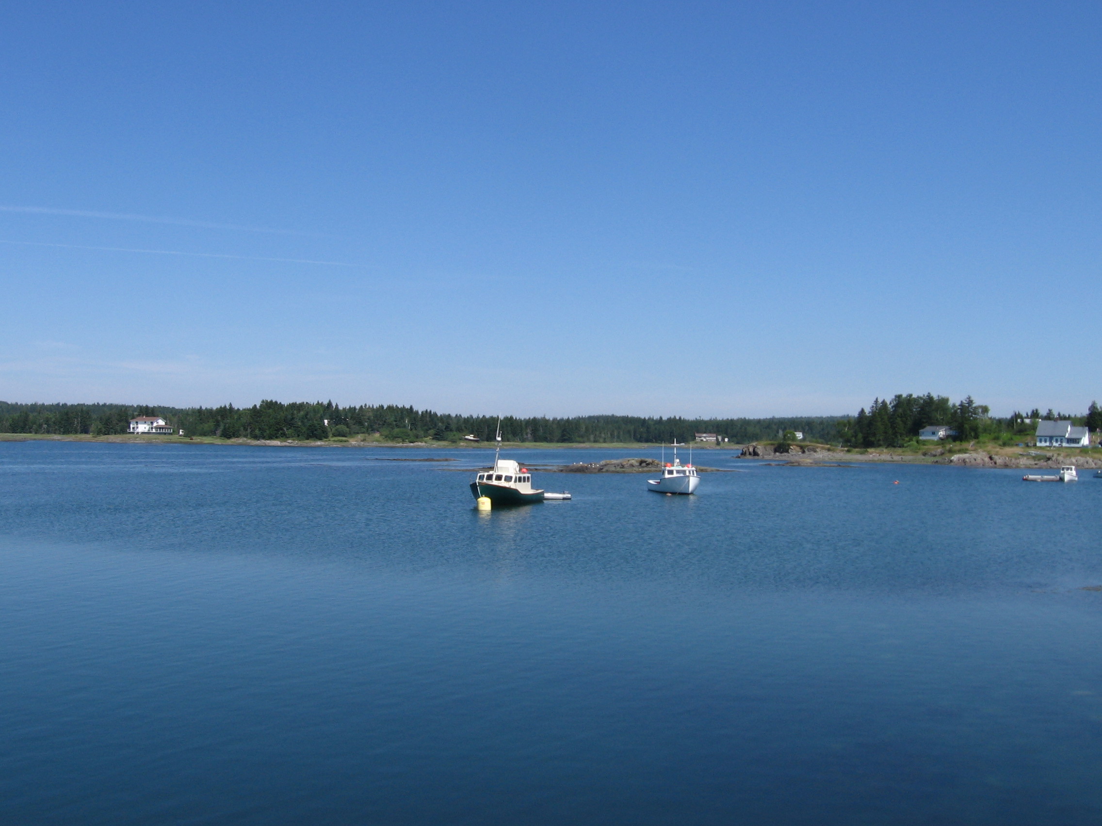
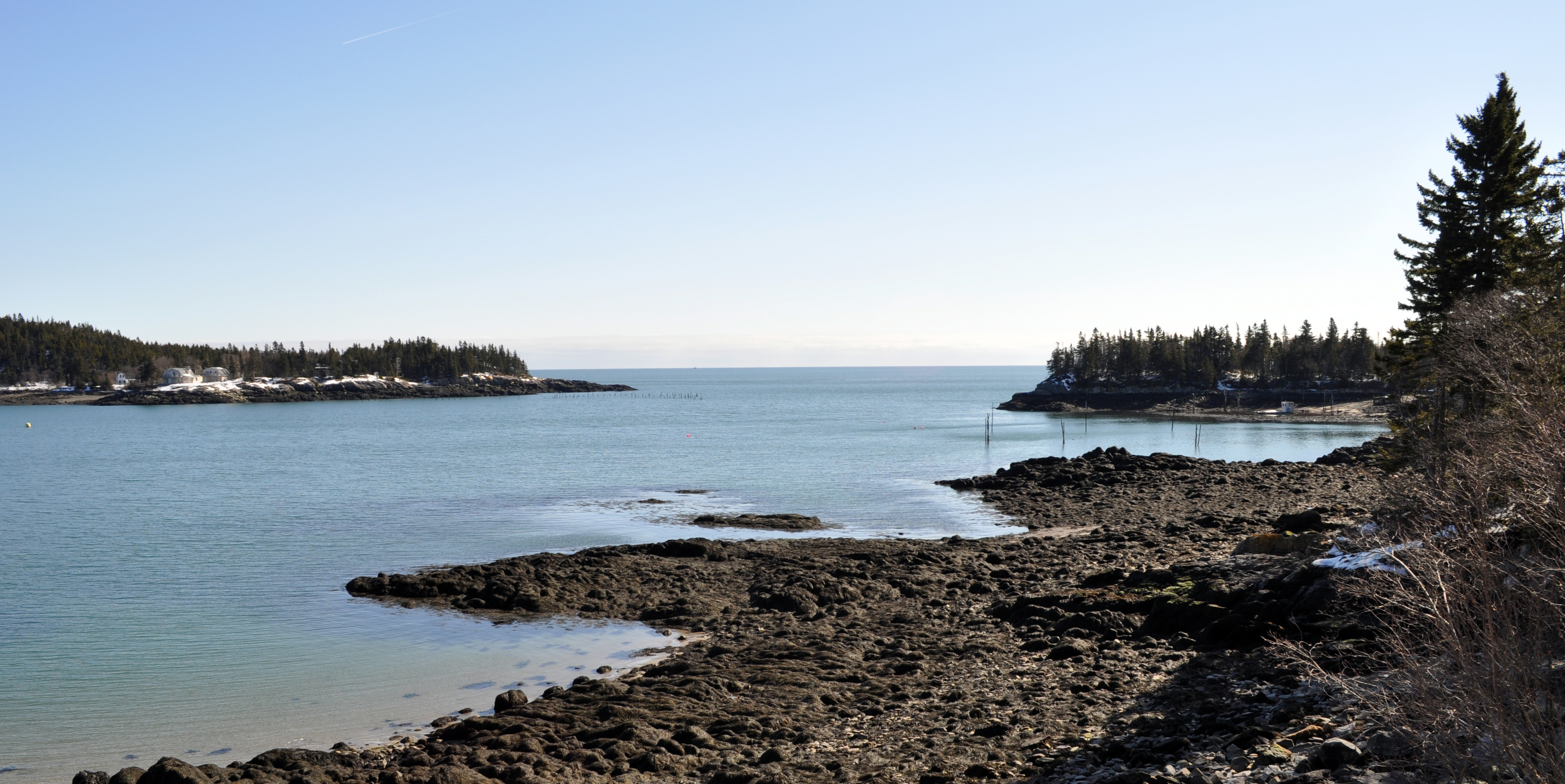
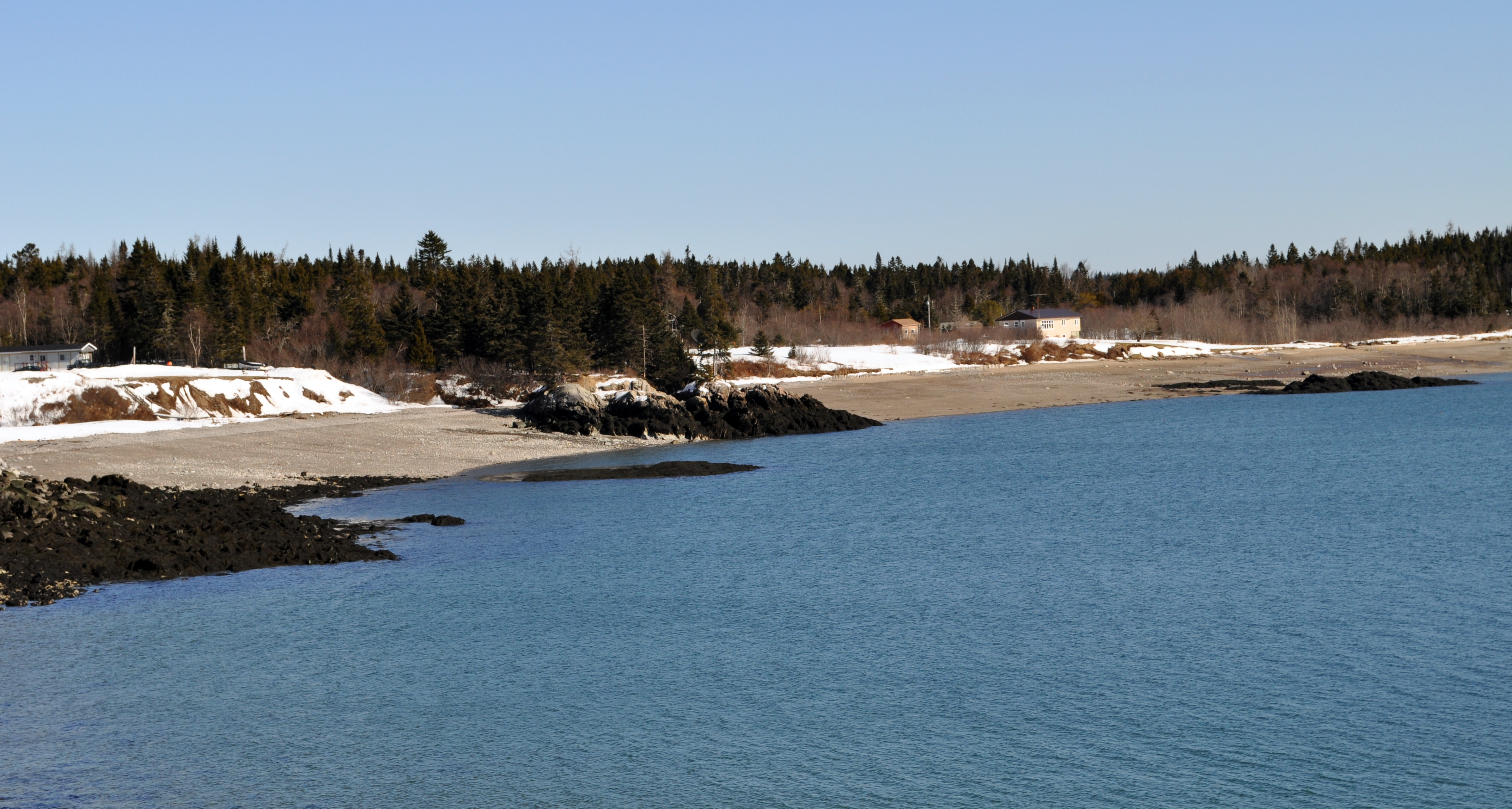
Seeley's Cove, NB
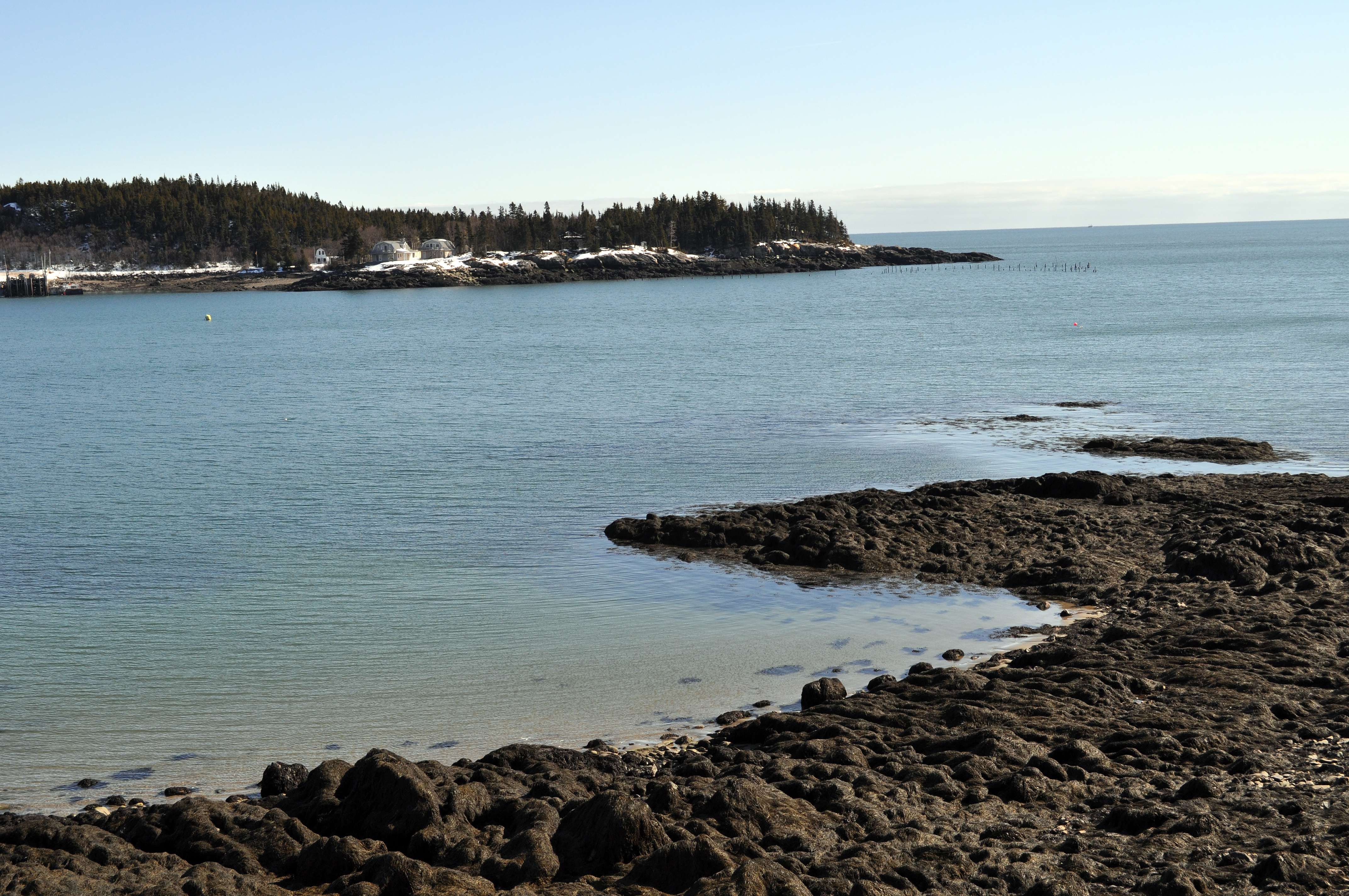
Seeley's Cove, NB
Seeley's Cove, NB
DSC_4399 (Copy)
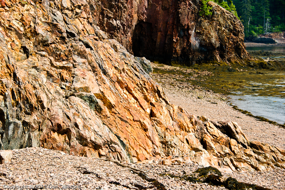
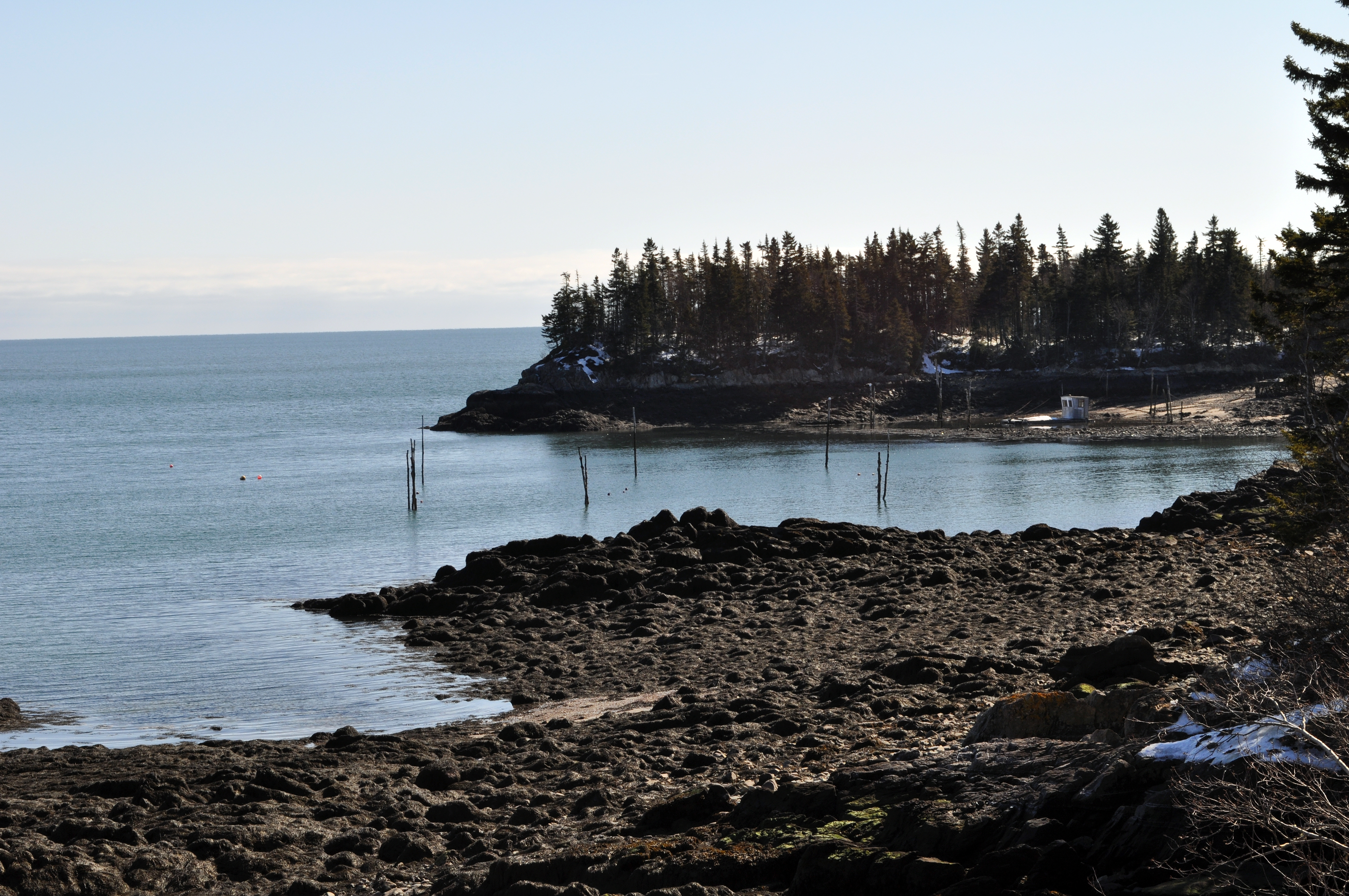
Rocky beach in Oven Head, New Brunswick

Canal Covered Bridge-04
St-George, New Brunswick
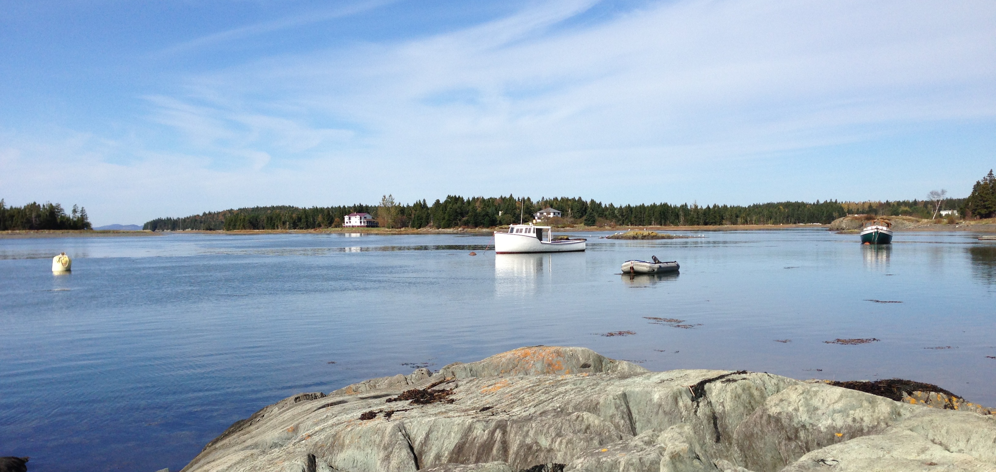
Seeley's Cove, NB
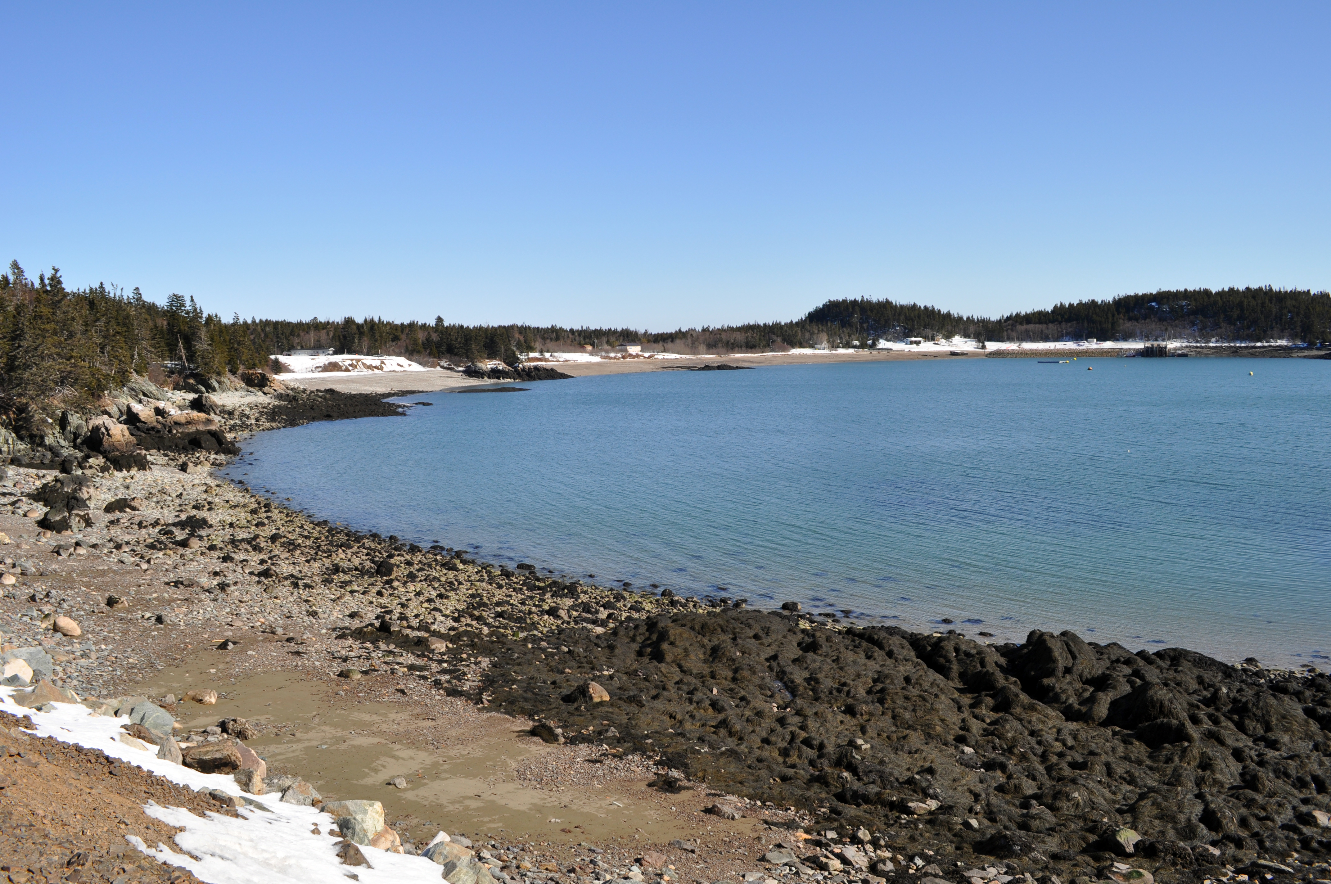
Seeley's Cove, NB
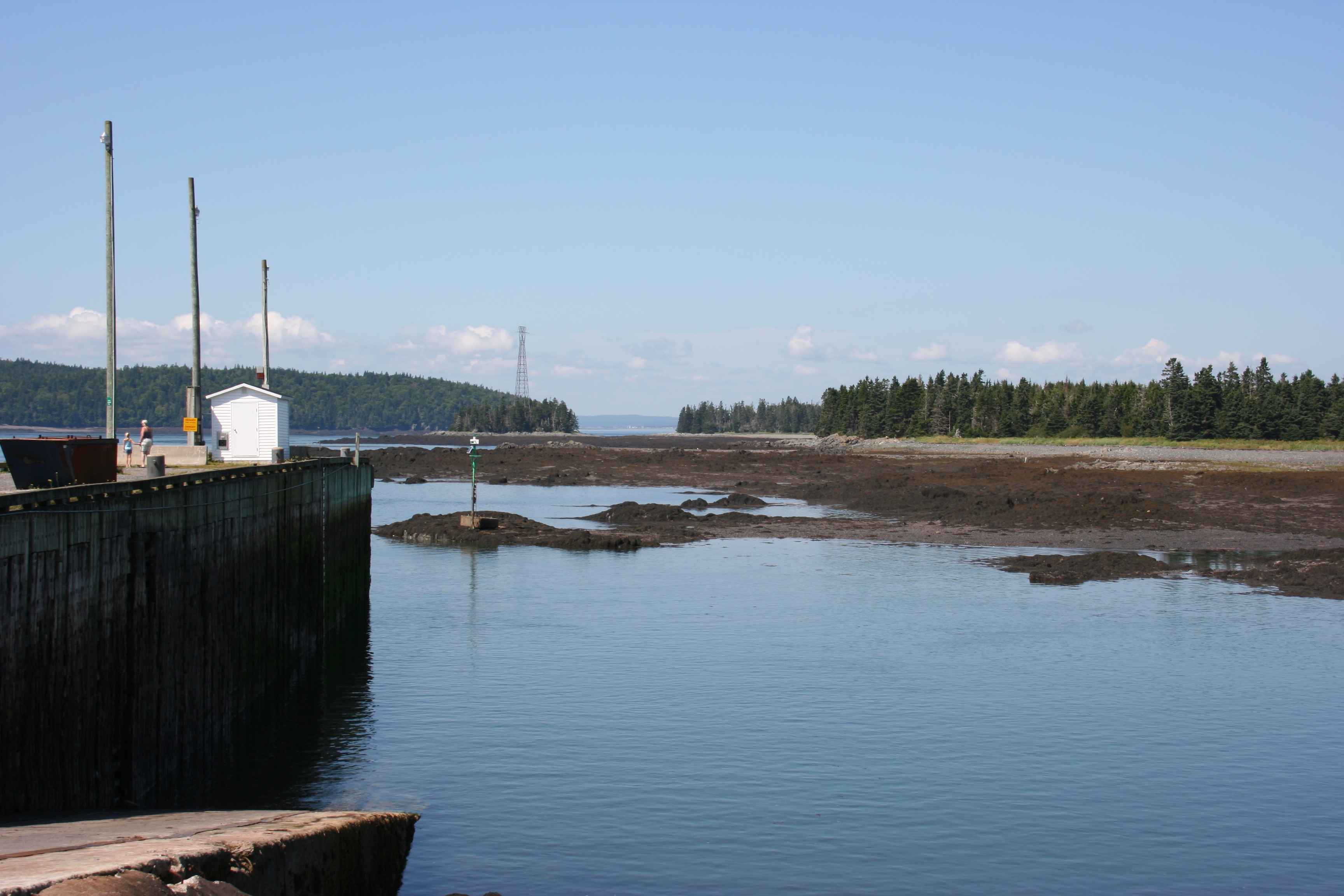
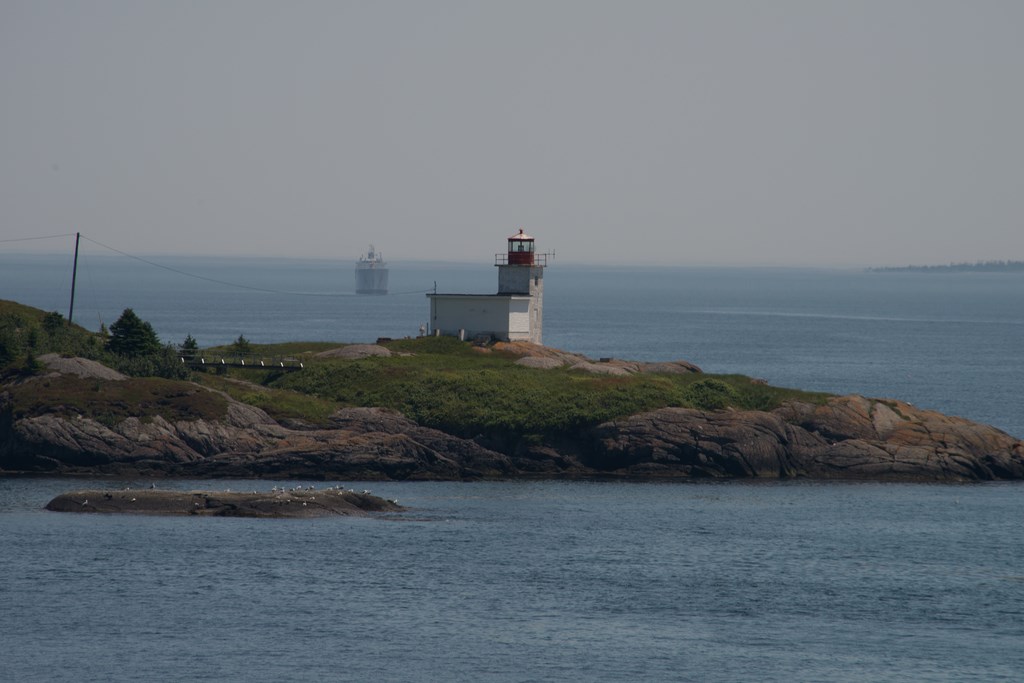
Letete Harbour
Vieux moulin
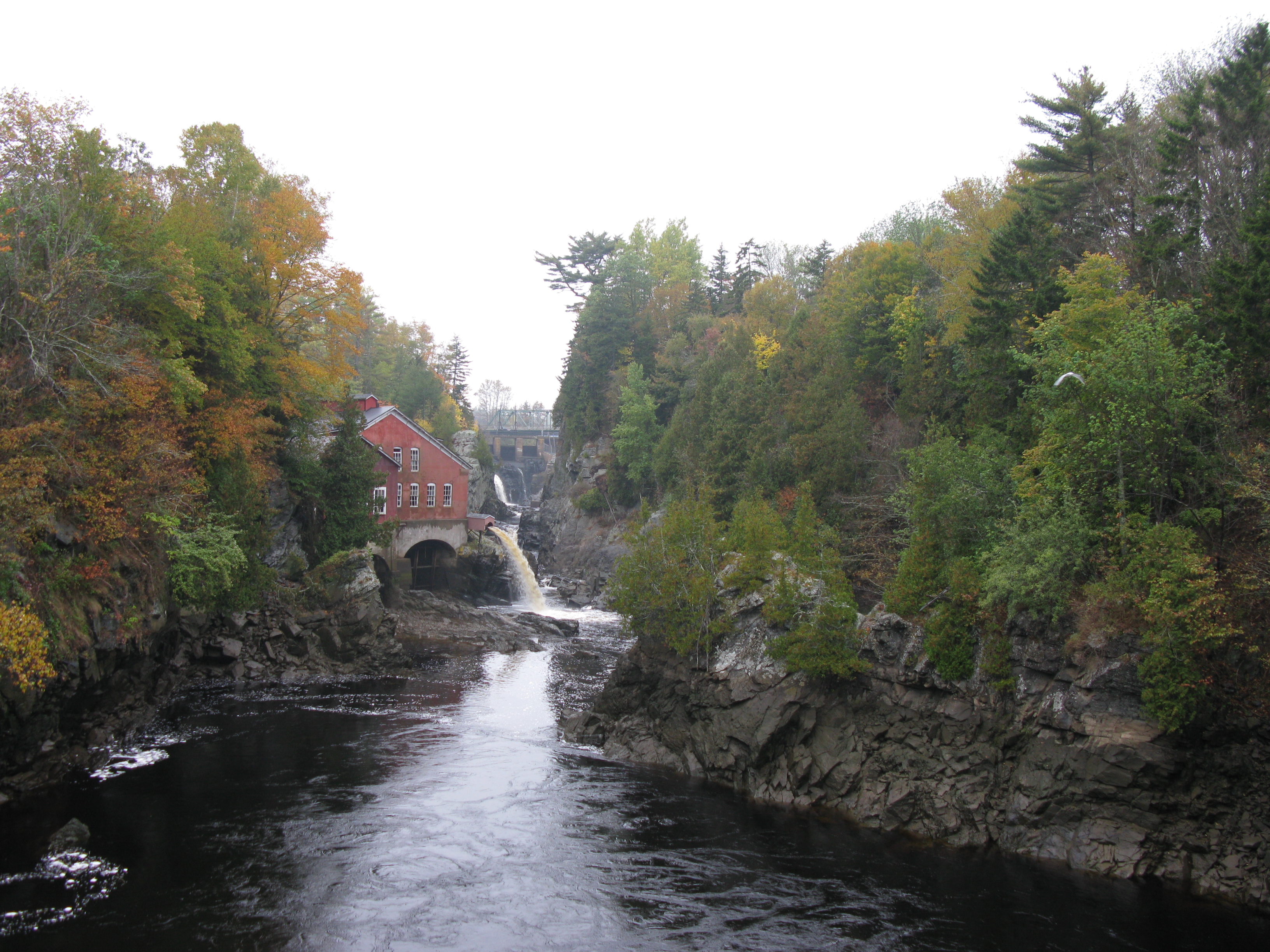
St George Gorge at First Falls (4)

Fishing Boats on the Shore in New Brunswick
Topographic Map of Pennfield, NB, Canada
Find elevation by address:

Places in Pennfield, NB, Canada:
Places near Pennfield, NB, Canada:
184 Nb-176
E5h
Woodland Rd, Pennfield, NB E5H 2A2, Canada
NB-, Utopia, NB E5C 2K3, Canada
Foleys Cove Road
44 Mt Pleasant Rd
Seeleys Cove Rd, Seeleys Cove, NB E5H 2E5, Canada
Saint George
Seeleys Cove
Pennfield
504 Seeleys Cove Rd
35 Oliver Shore Crescent
10 Murray Ln
Caithness
Mascarene Rd, Caithness, NB E5C 2T2, Canada
326 Shore Rd
322 Shore Rd
Back Bay
Shore Road
23 Back Bay Cemetery Rd, Back Bay, NB E5C 2W8, Canada
Recent Searches:
- Elevation of Paradisvegen, Biri, Norway
- Elevation of Crystal Cir, Birmingham, AL, USA
- Elevation of N Railroad Ave, West Palm Beach, FL, USA
- Elevation of 55 Cassick Valley Rd, Wellfleet, MA, USA
- Elevation of Ironwood Dr, Minden, NV, USA
- Elevation of 高尾山口駅, Takaomachi, Hachioji, Tokyo -, Japan
- Elevation of 15 Victory Ave, Greenville, SC, USA
- Elevation of Kota Ternate Utara, Ternate City, North Maluku, Indonesia
- Elevation of Allon St, Oceanside, NY, USA
- Elevation of Carroll Creek Rd, Custer, SD, USA