Elevation of Saint George, NB E5C, Canada
Location: Canada > New Brunswick > Charlotte County >
Longitude: -66.826198
Latitude: 45.1306531
Elevation: 13m / 43feet
Barometric Pressure: 101KPa
Elevation Map:
Satellite Map:
Related Photos:
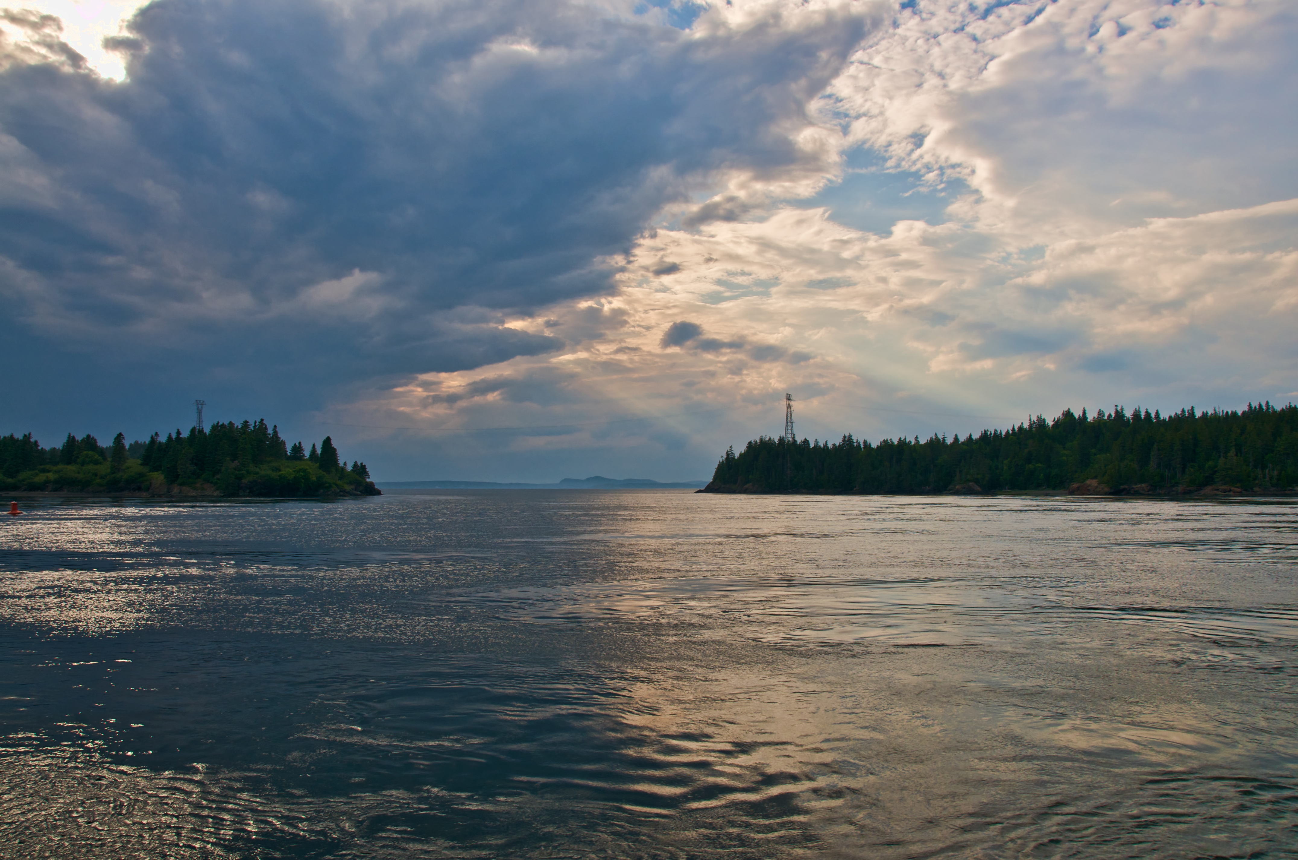
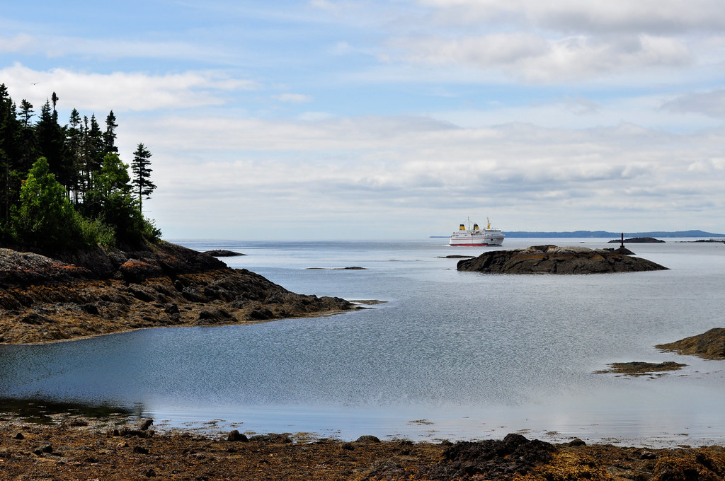
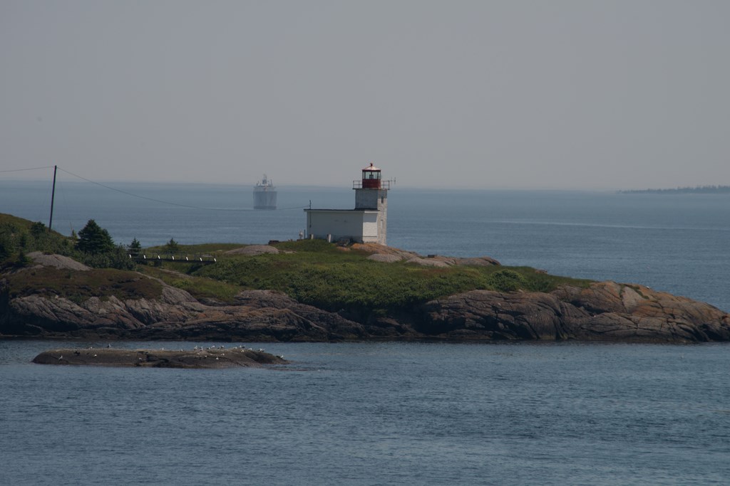
Ferry View

View of unknown island and modern light marker from the Letete-Deer Island Ferry
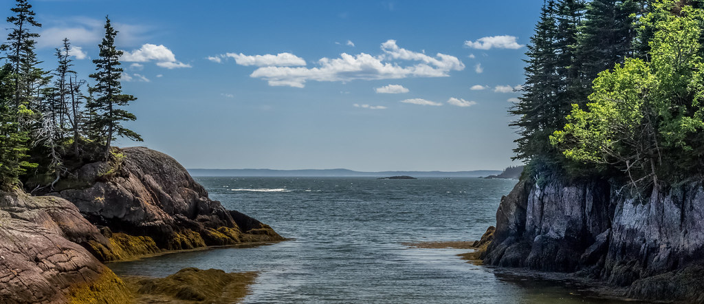
Passage View
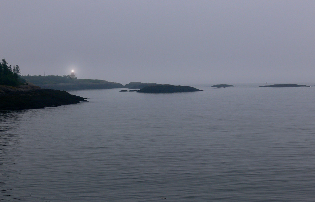
to light your way home
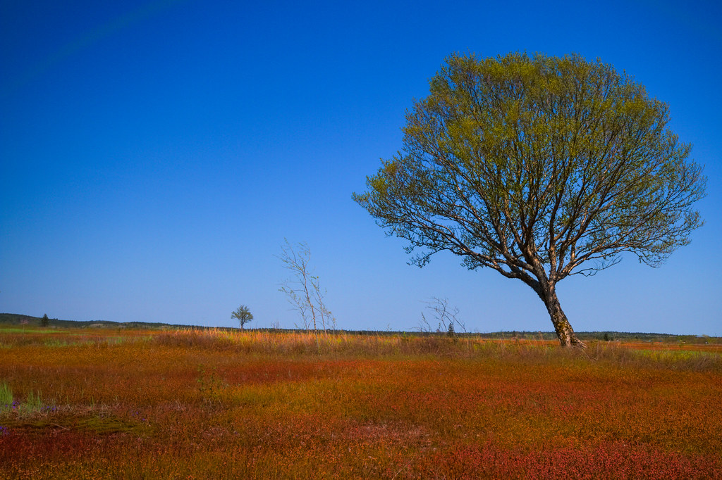
Wind Blown
Lepreau Falls 013

This is it...
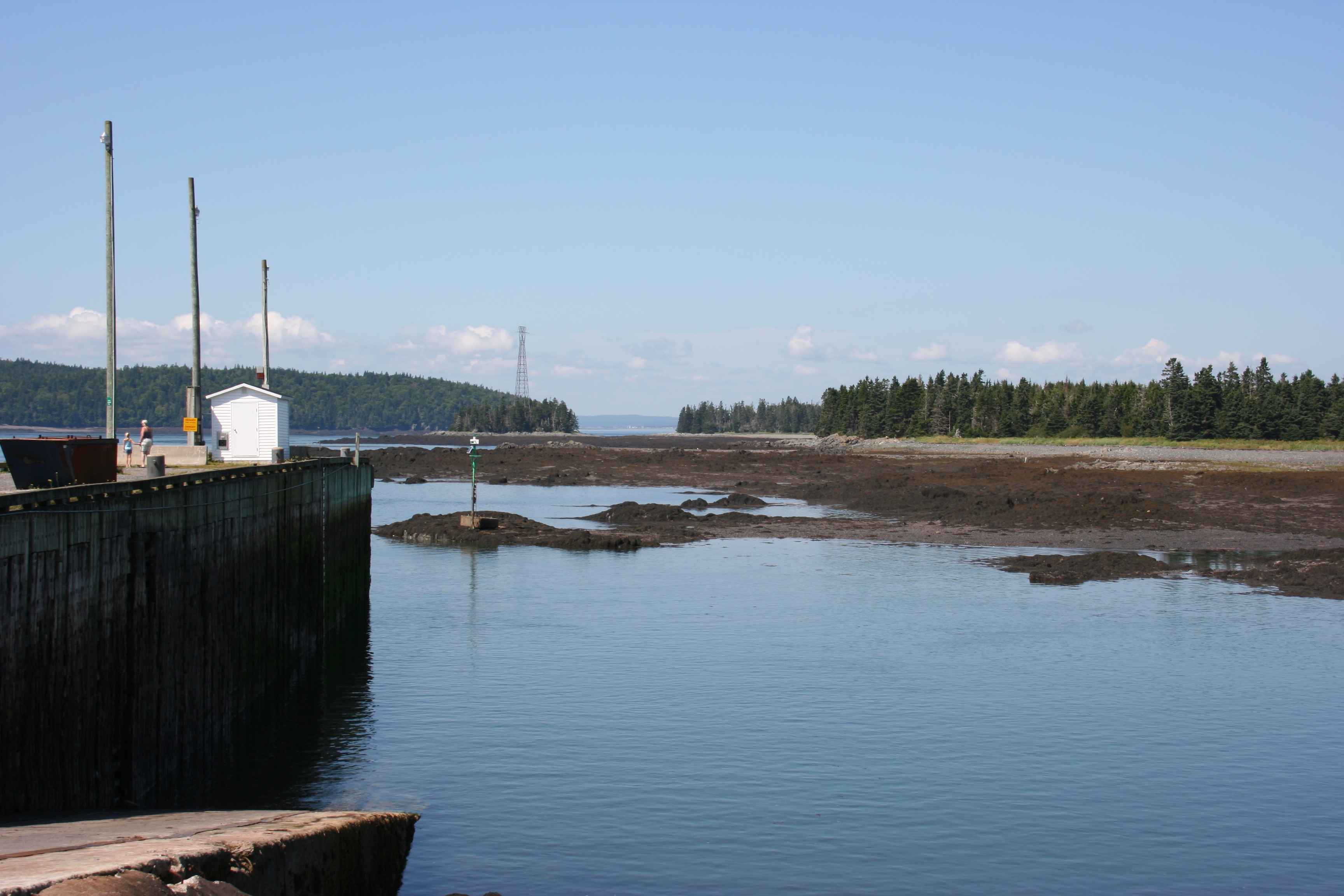
L'Etete

Blacks Harbour
Blacks Harbour
Three Phases
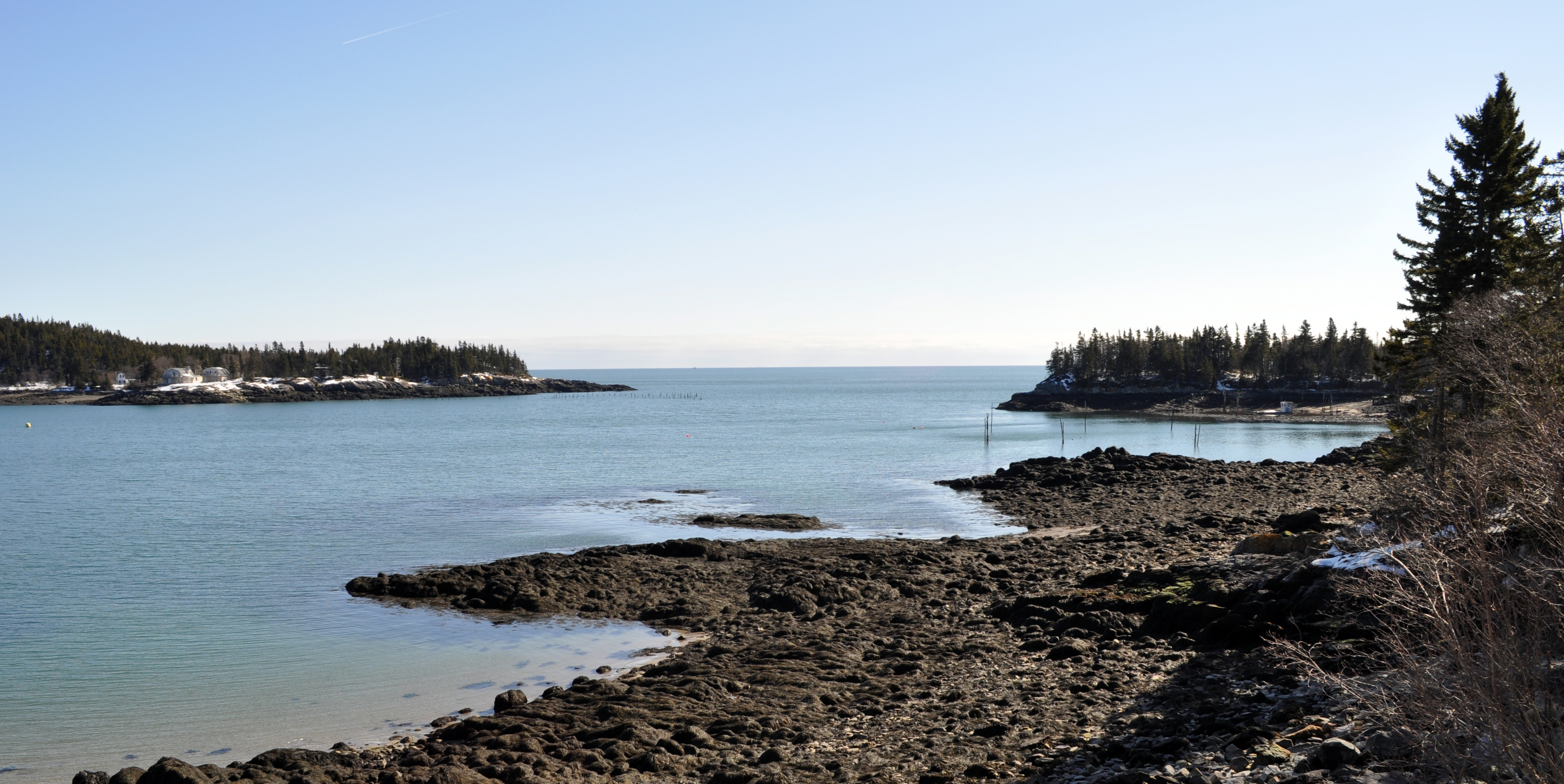
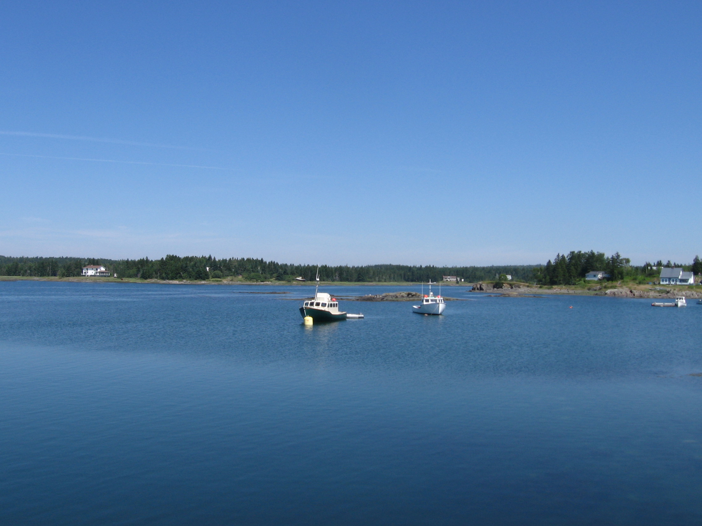
Seeley's Cove, NB
Seeley's Cove, NB
DSC_4399 (Copy)
Rocky beach in Oven Head, New Brunswick

Canal Covered Bridge-04
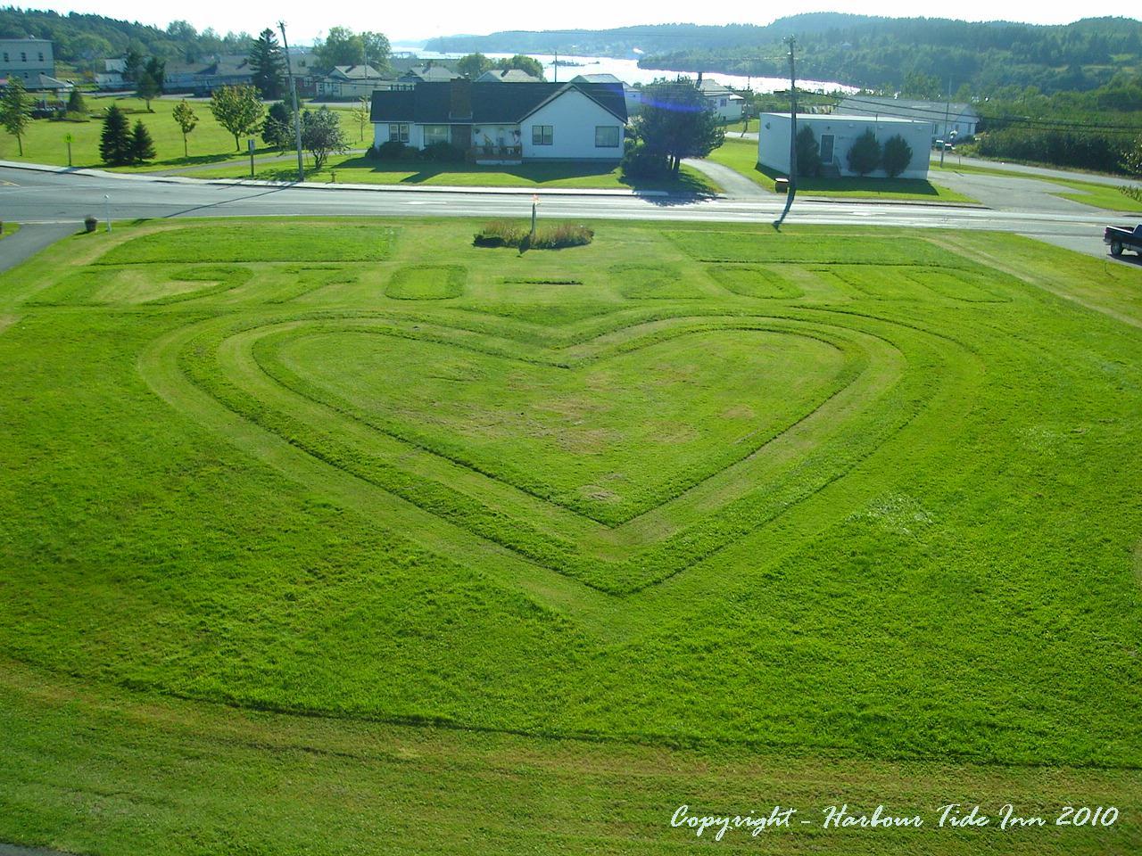
St-George, New Brunswick
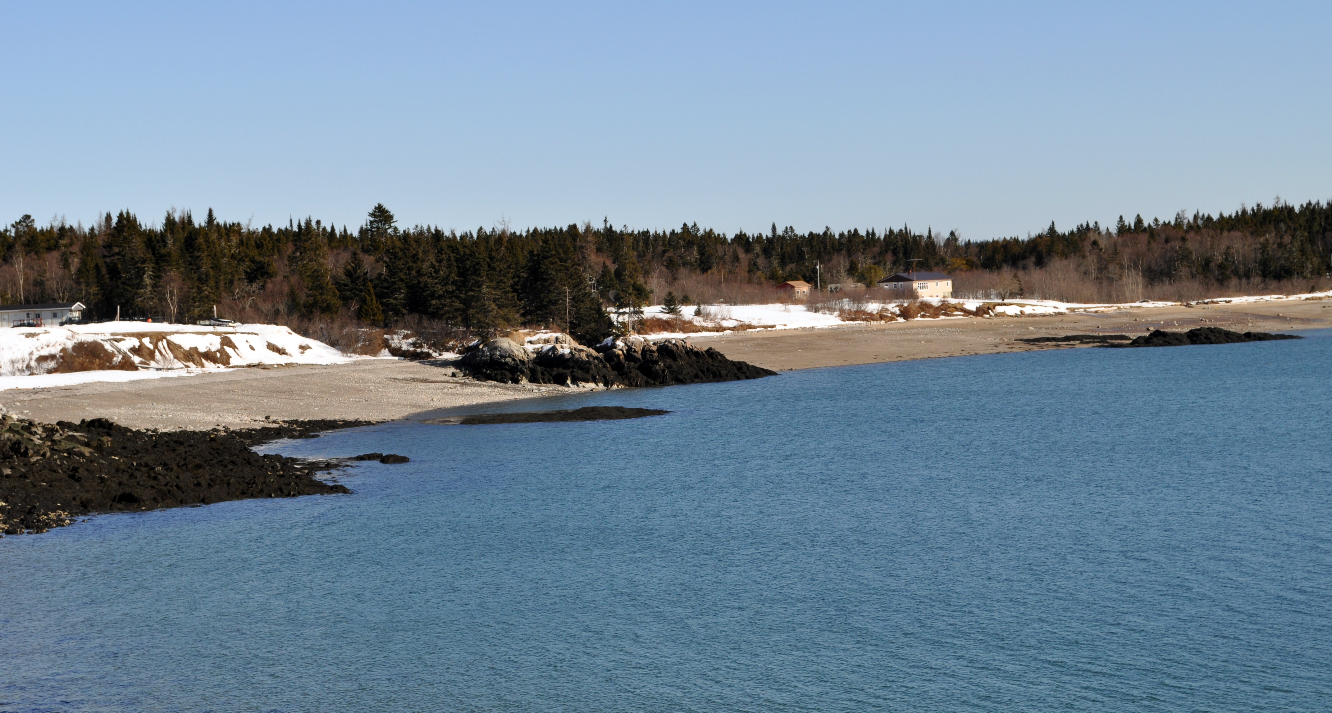
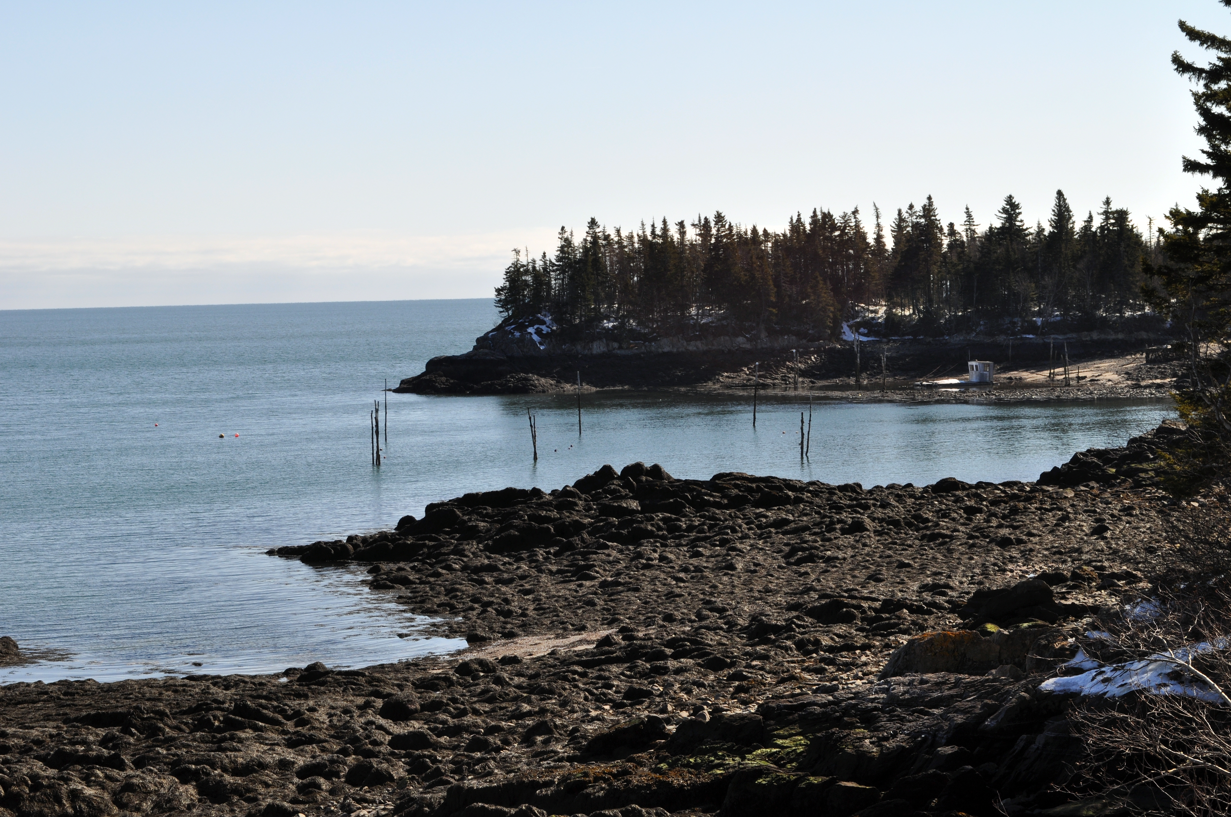
Seeley's Cove, NB
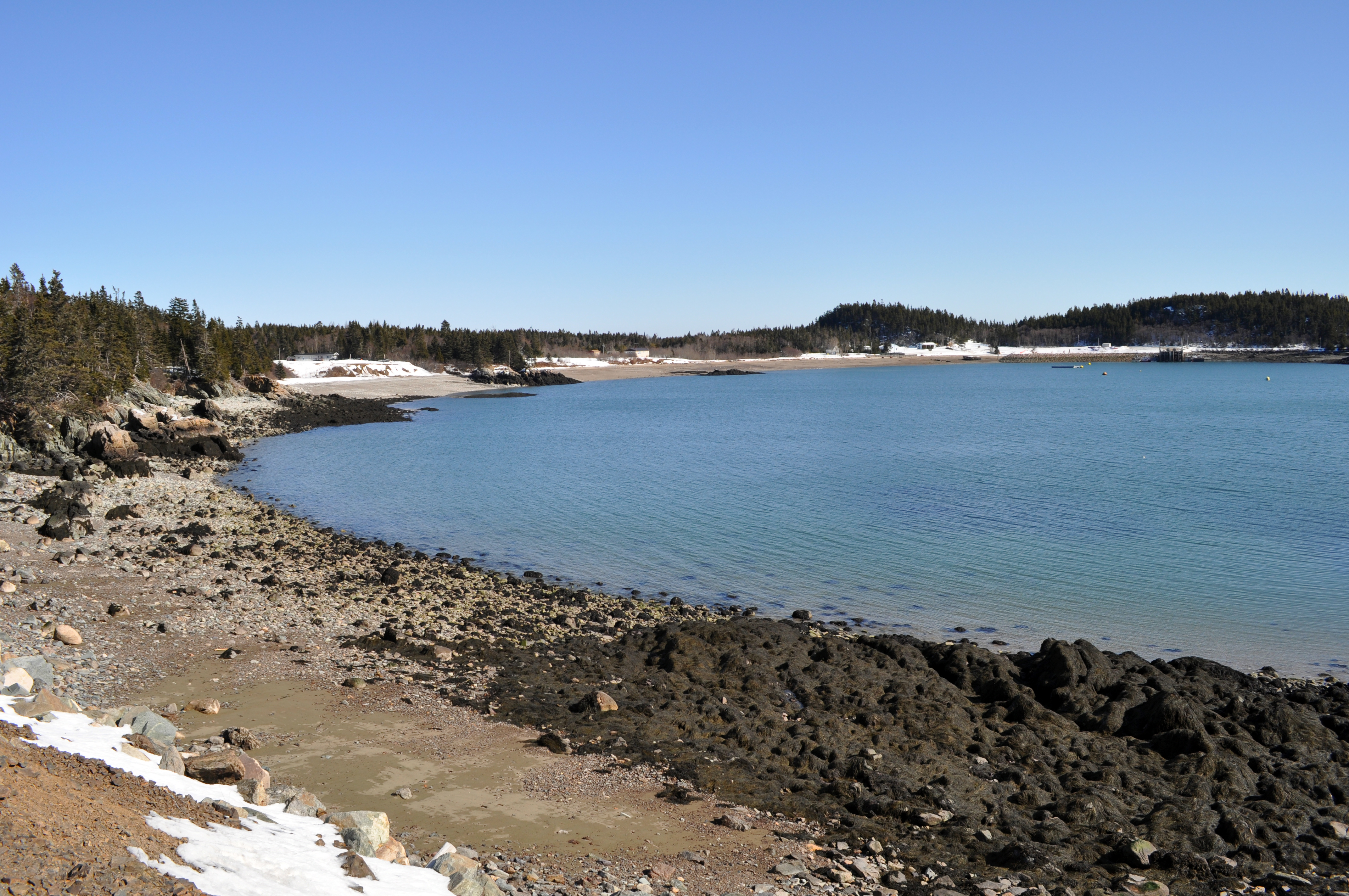
Seeley's Cove, NB
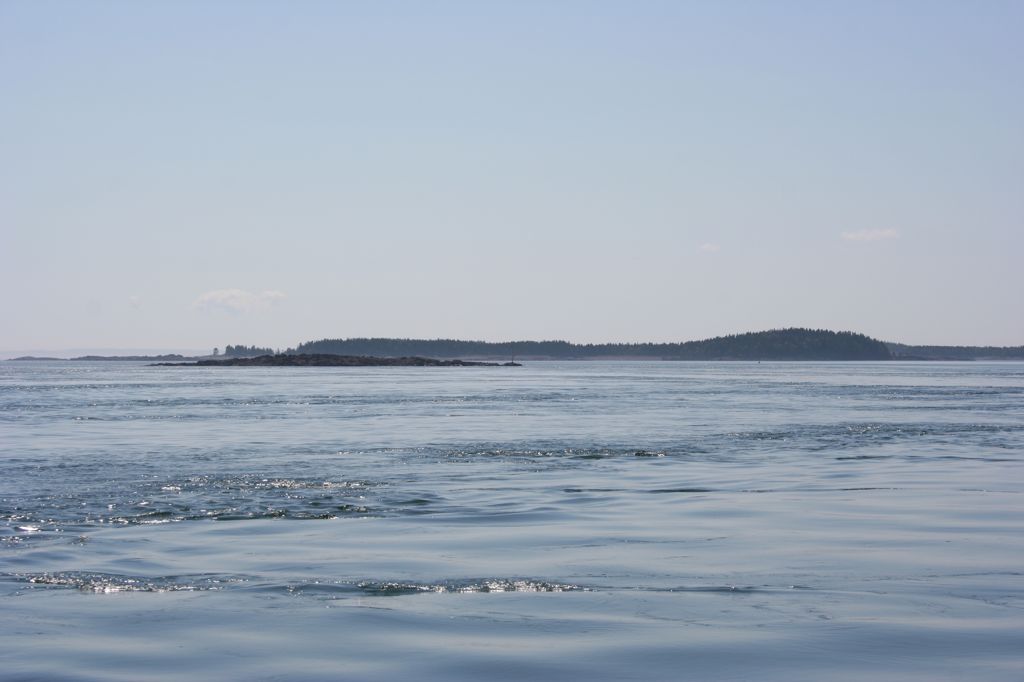
Passamaquoddy Bay
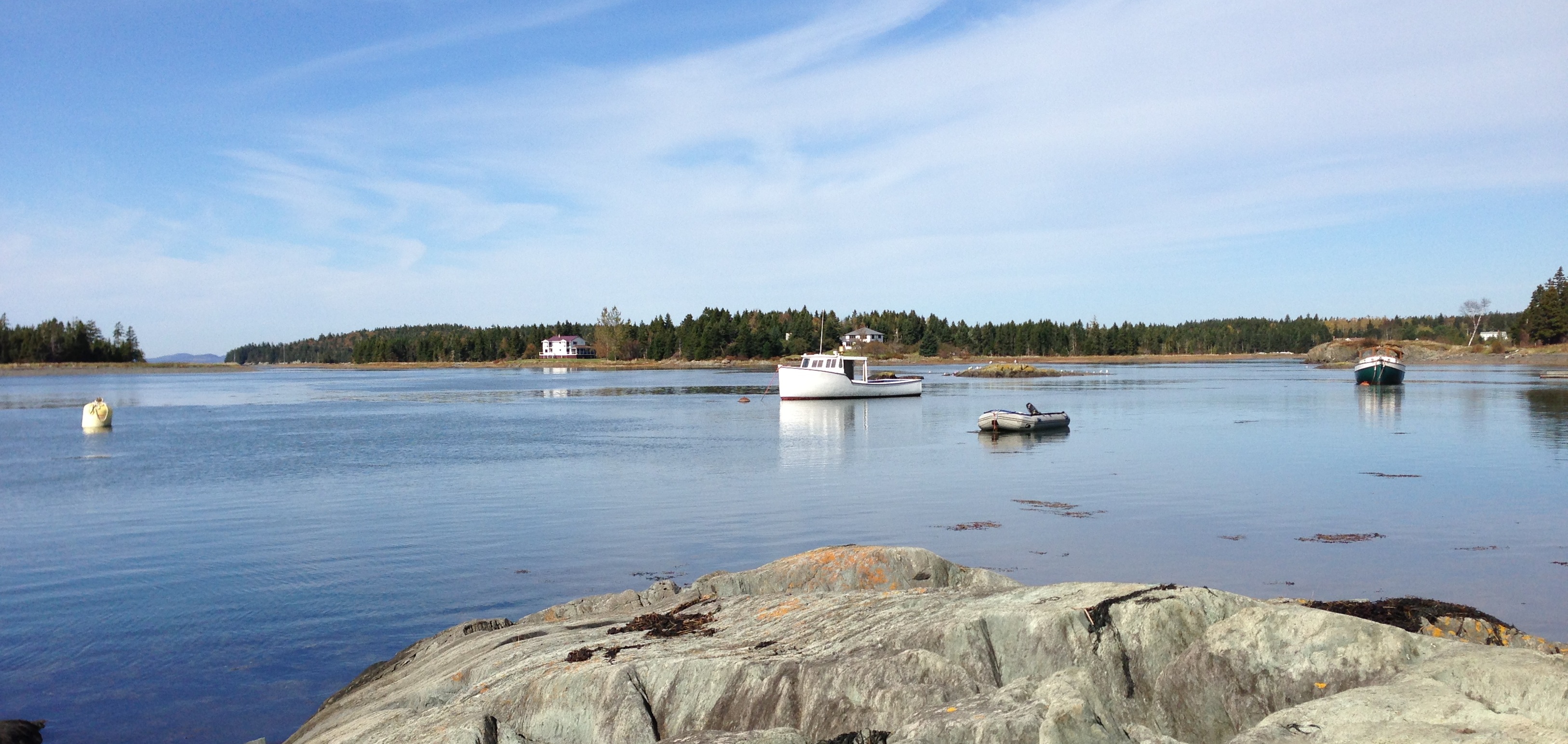
Letete Harbour
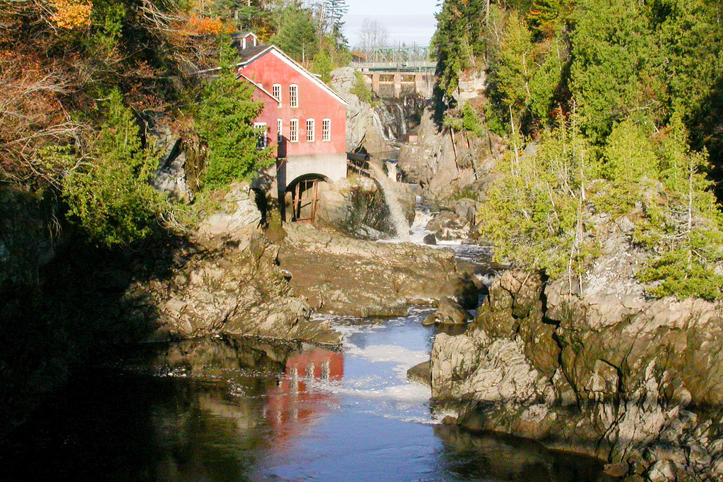
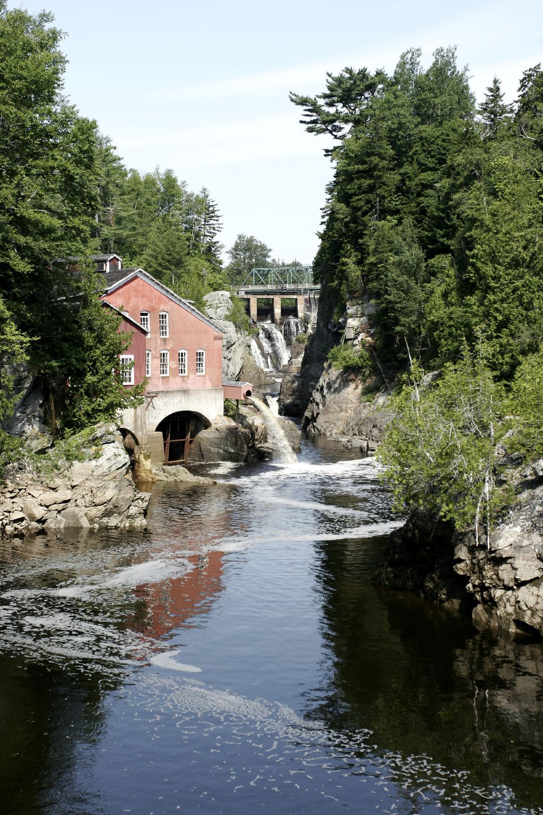
Vieux moulin
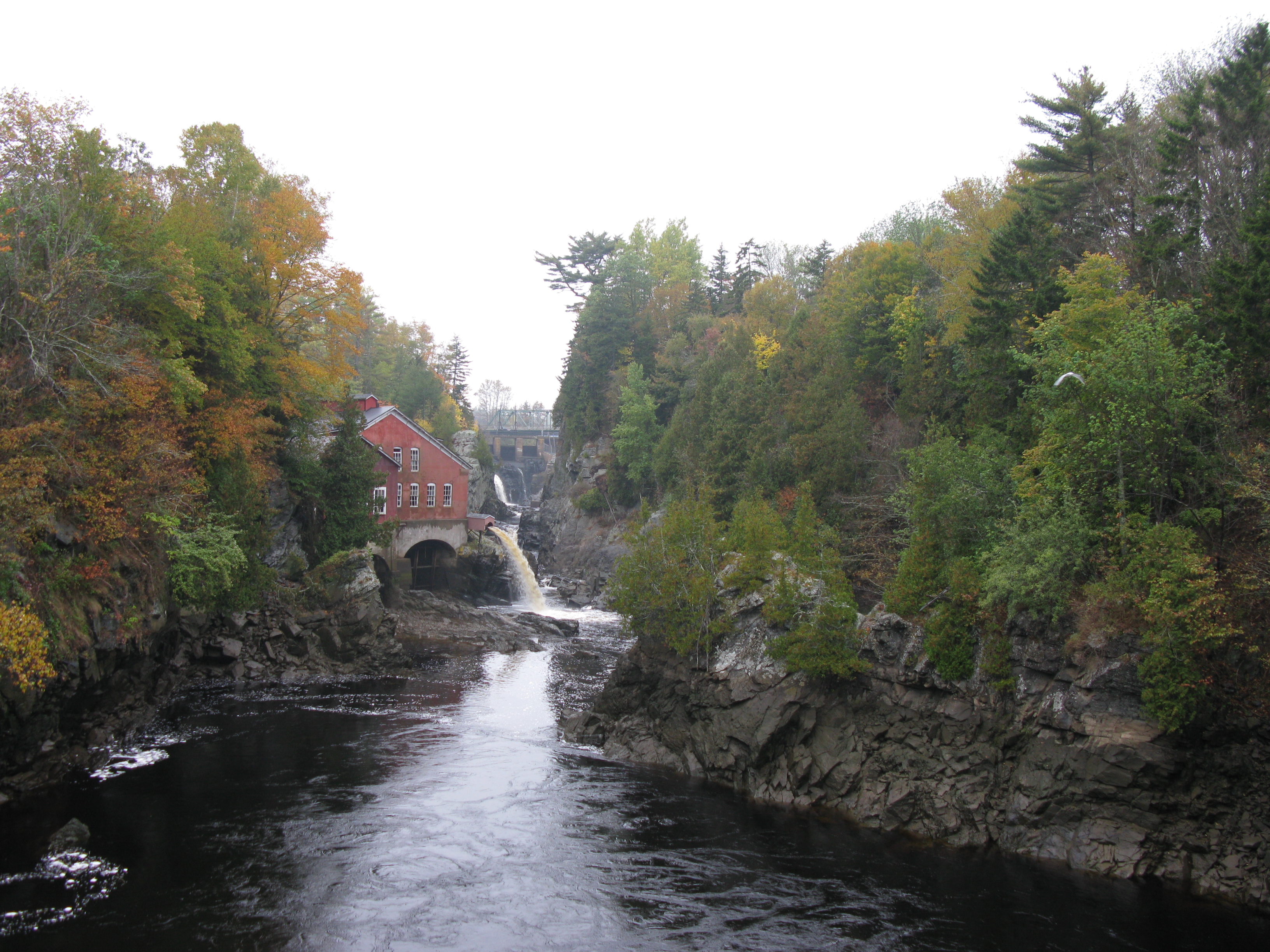
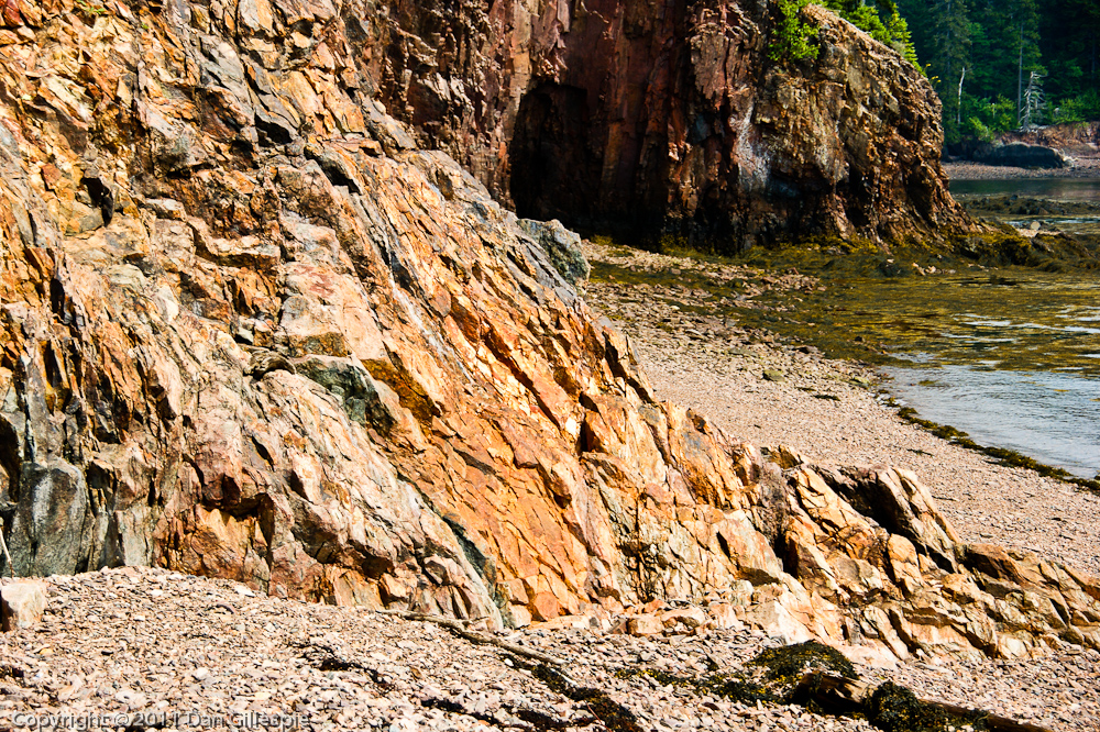
St George Gorge at First Falls (4)
Topographic Map of Saint George, NB E5C, Canada
Find elevation by address:

Places in Saint George, NB E5C, Canada:
Places near Saint George, NB E5C, Canada:
44 Mt Pleasant Rd
10 Murray Ln
Caithness
Mascarene Rd, Caithness, NB E5C 2T2, Canada
326 Shore Rd
322 Shore Rd
Shore Road
35 Oliver Shore Crescent
Back Bay
23 Back Bay Cemetery Rd, Back Bay, NB E5C 2W8, Canada
130 Paradox Point
130 Paradox Point
28 Calder Rd, Lambertville, NB E5V 1A3, Canada
Eagles Passage
318 Victoria Terrace
318 Victoria Terrace
318 Victoria Terrace
319 Prince Of Wales St
475 Montague St
55 Chandler Rd
Recent Searches:
- Elevation of Elwyn Dr, Roanoke Rapids, NC, USA
- Elevation of Congressional Dr, Stevensville, MD, USA
- Elevation of Bellview Rd, McLean, VA, USA
- Elevation of Stage Island Rd, Chatham, MA, USA
- Elevation of Shibuya Scramble Crossing, 21 Udagawacho, Shibuya City, Tokyo -, Japan
- Elevation of Jadagoniai, Kaunas District Municipality, Lithuania
- Elevation of Pagonija rock, Kranto 7-oji g. 8"N, Kaunas, Lithuania
- Elevation of Co Rd 87, Jamestown, CO, USA
- Elevation of Tenjo, Cundinamarca, Colombia
- Elevation of Côte-des-Neiges, Montreal, QC H4A 3J6, Canada