Elevation of La Grande Reservoir, Oregon, USA
Location: United States > Oregon > Union County > La Grande >
Longitude: -118.20155
Latitude: 45.1369964
Elevation: 1571m / 5154feet
Barometric Pressure: 84KPa
Elevation Map:
Satellite Map:
Related Photos:

The Elkhorn Mountains of Eastern Oregon

Elkhorn Wildlife Area
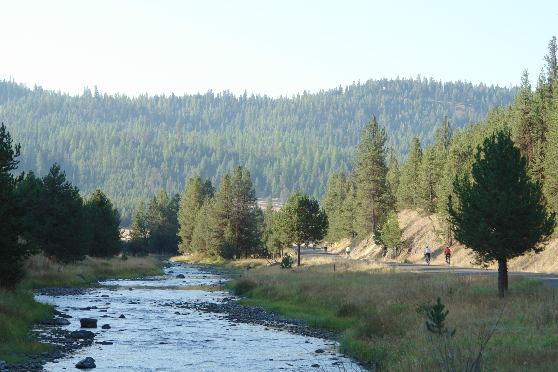
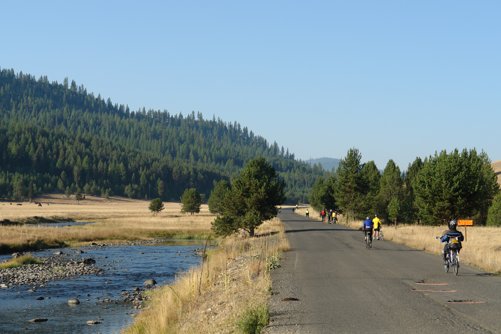
Cycle Oregon 2006 Day 3
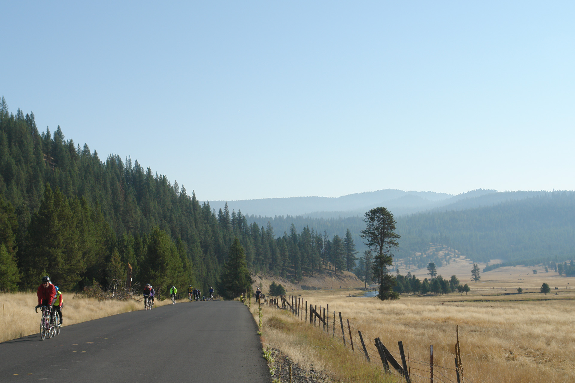
Cycle Oregon 2006 Day 3
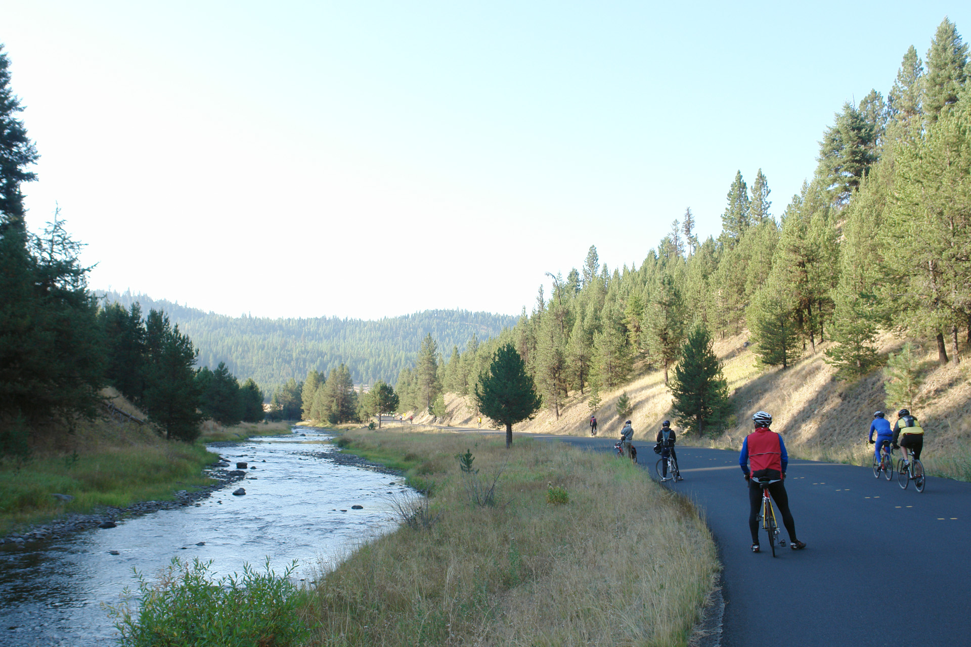
Cycle Oregon 2006 Day 3

Gristmill Recreation Area - 4 -

Pilcher Creek Barn

full moon
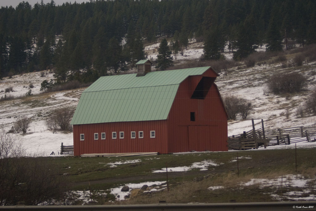
Red Barn

Cycle Oregon 2006 Day 3
Cycle Oregon 2006 Day 3

Cycle Oregon 2006 Day 3
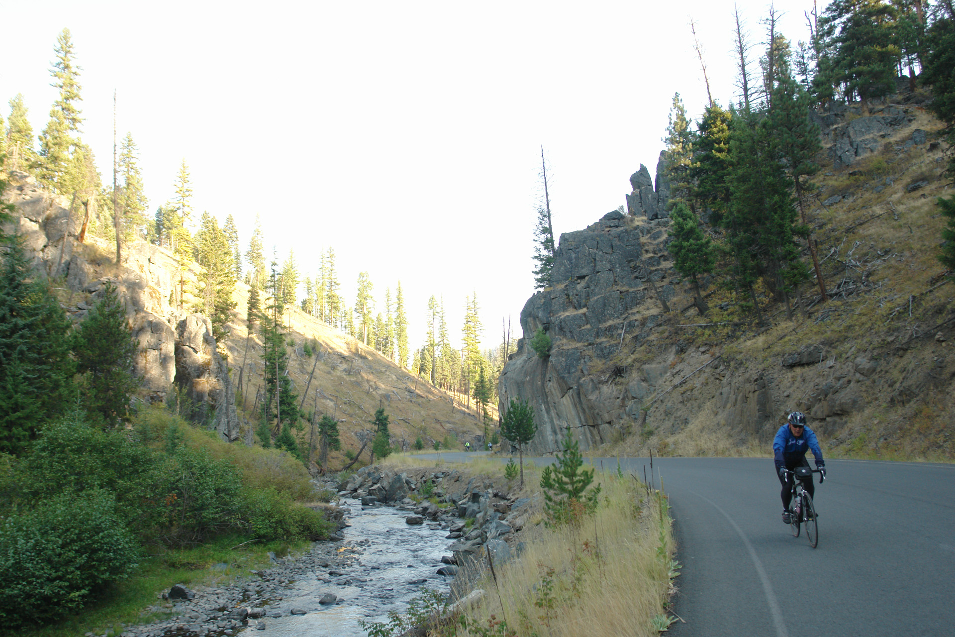
Cycle Oregon 2006 Day 3
Topographic Map of La Grande Reservoir, Oregon, USA
Find elevation by address:

Places near La Grande Reservoir, Oregon, USA:
Hilgard
Staples St, La Grande, OR, USA
54509 Coombs Loop
58372 Grande Ronde Riv Rd
59161 Mcintyre Rd
Starkey
Meacham
National Forest Development Road 810
Umatilla Forks Campground
Deadman Pass Lookout Area
Wildwood Loop
57894 Or-204
National Forest Development Road 030
National Forest Development Road 5415
54818 Pine Creek Rd
54818 Pine Creek Rd
54818 Pine Creek Rd
54818 Pine Creek Rd
54818 Pine Creek Rd
54818 Pine Creek Rd
Recent Searches:
- Elevation of Corso Fratelli Cairoli, 35, Macerata MC, Italy
- Elevation of Tallevast Rd, Sarasota, FL, USA
- Elevation of 4th St E, Sonoma, CA, USA
- Elevation of Black Hollow Rd, Pennsdale, PA, USA
- Elevation of Oakland Ave, Williamsport, PA, USA
- Elevation of Pedrógão Grande, Portugal
- Elevation of Klee Dr, Martinsburg, WV, USA
- Elevation of Via Roma, Pieranica CR, Italy
- Elevation of Tavkvetili Mountain, Georgia
- Elevation of Hartfords Bluff Cir, Mt Pleasant, SC, USA