Elevation of Umatilla Forks Campground, Umatilla County, OR, USA
Location: United States > Oregon > Umatilla County > Weston >
Longitude: -118.18859
Latitude: 45.7261228
Elevation: 710m / 2329feet
Barometric Pressure: 93KPa
Elevation Map:
Satellite Map:
Related Photos:
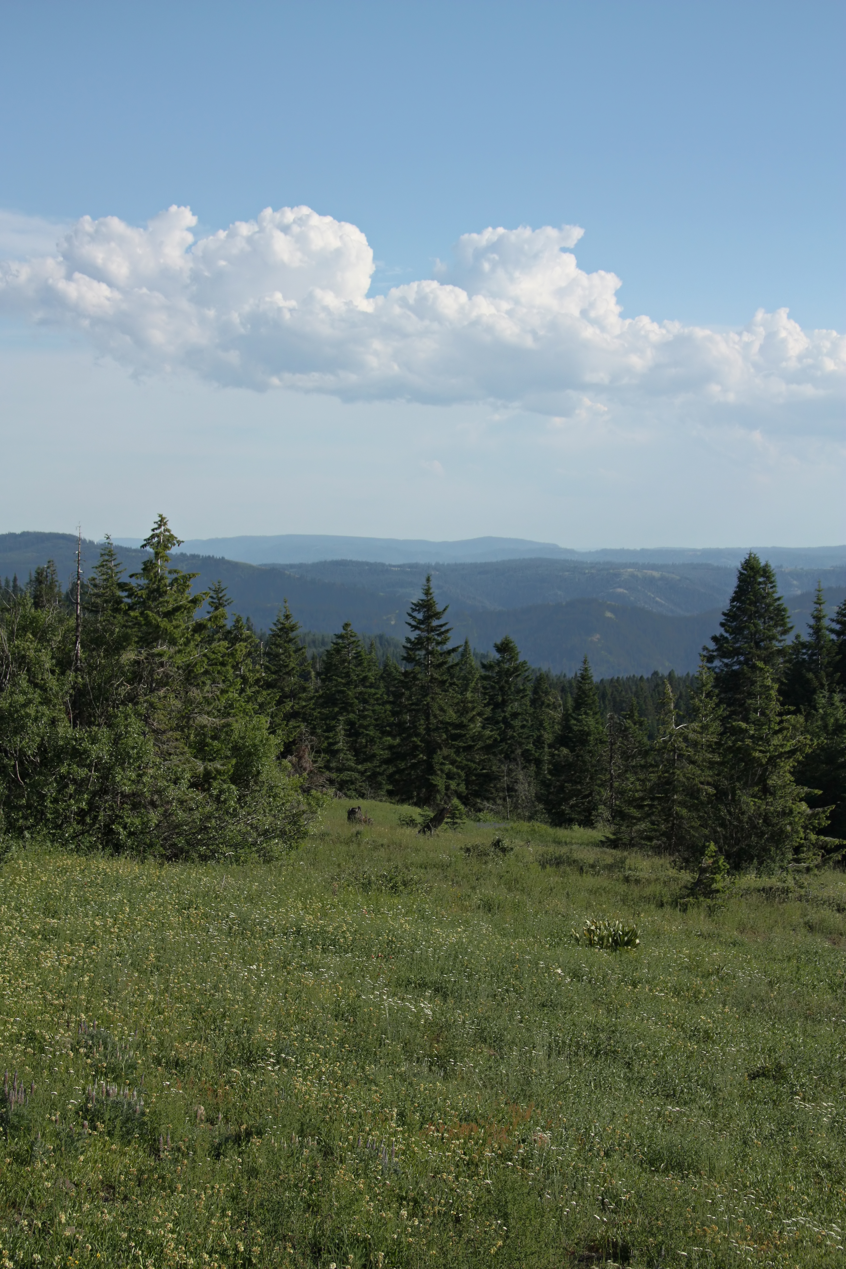
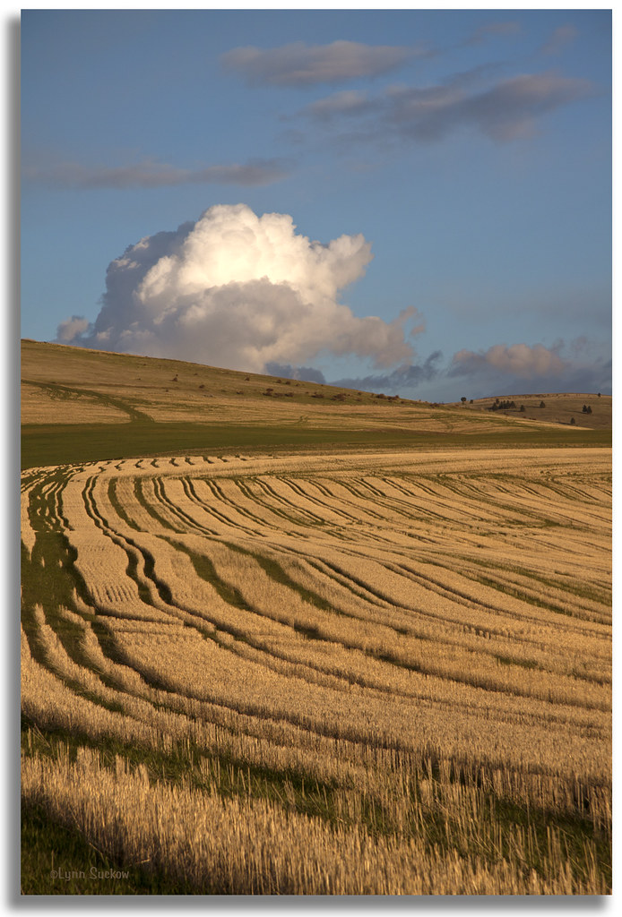
Blue Mountain View
Evening in the country
.Wye at Gibbon, Oregon... 20090512_6026
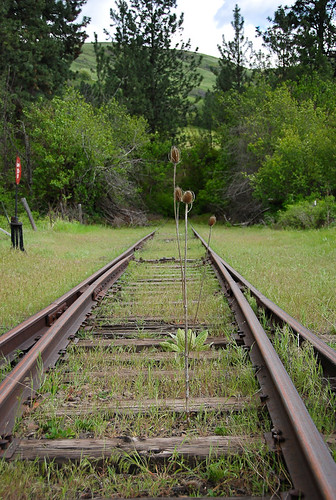
20090512_5983...No whistle, just thistle (actually, just teazle, but that doesn't sound as good)
Leapin' lizards
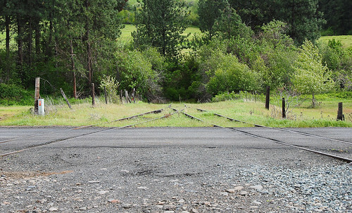
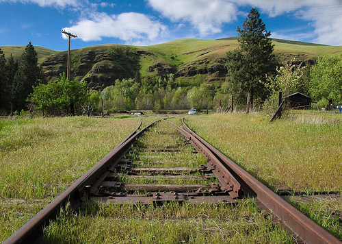
20090512_5957 Gibbon wye
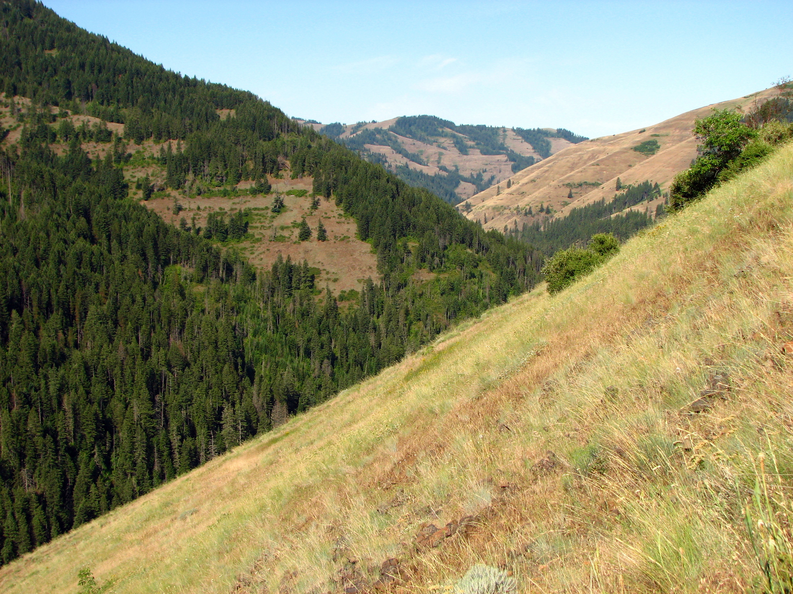
View of North Fork Umatilla Wilderness-Umatilla

E. J. Haney Viewpoint

Buck Creek
South Fork of the Walla Walla River Near Milton Freewater OR

Blue Mountain Tarn

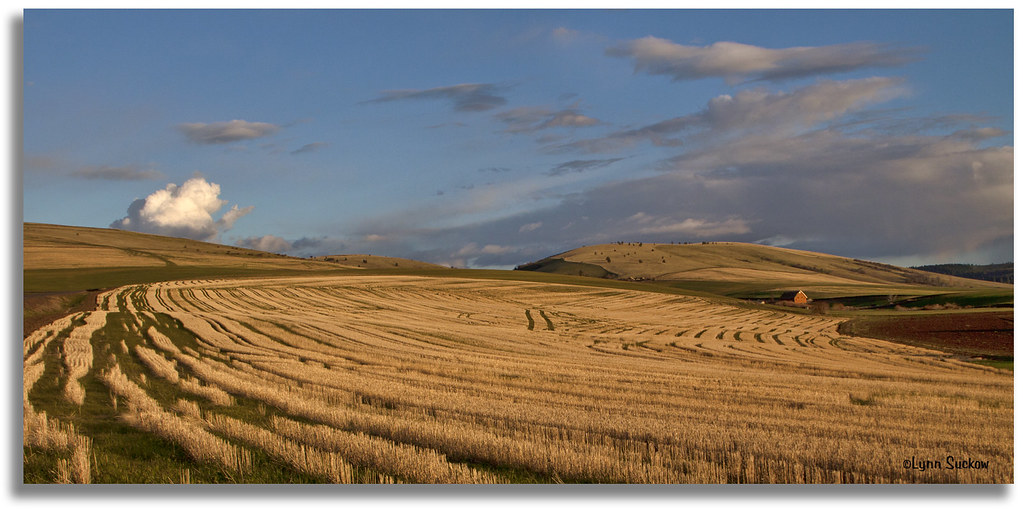
Hay fields on SR-11

My current status

Buck Creek

Buck Creek 2

Buck Creek Bridge and Main Lodge

Buck Creek

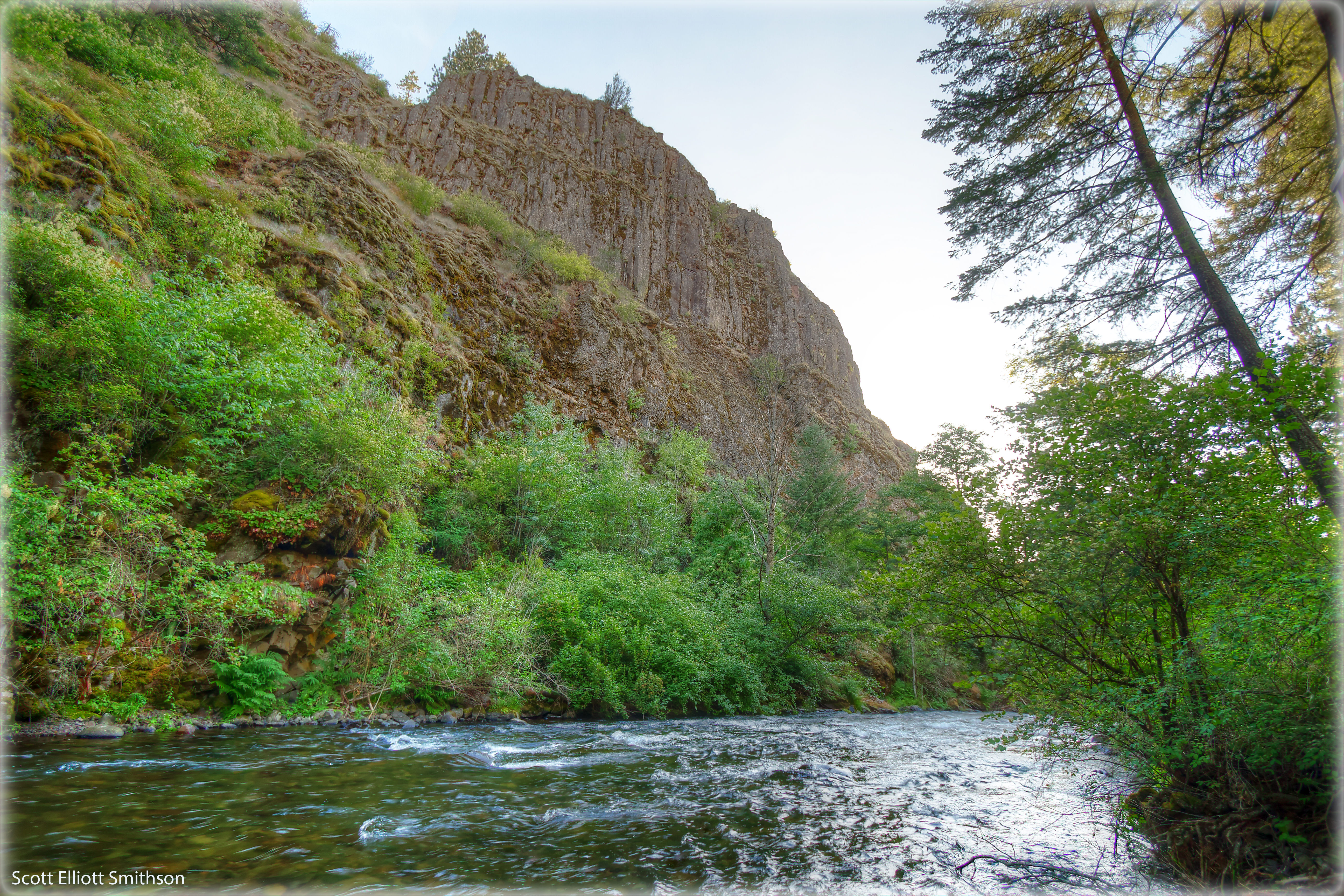
South Fork Walla Walla River, OR
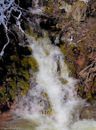
Waterfall on the Blue Mountain Pass - Oregon

Walla Walla River, monochrome

Summertime on the Walla Walla River

Hiking the south fork Walla Walla

Ladybug landscape
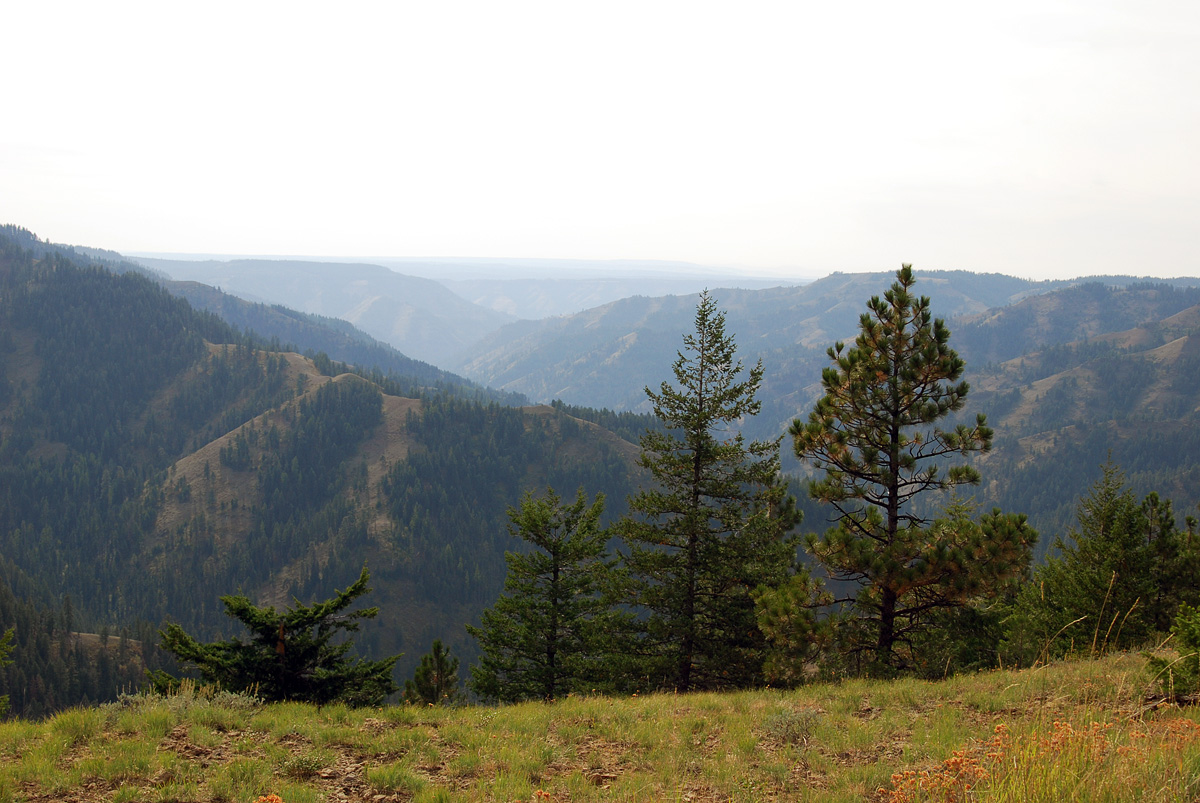
Looking West
Topographic Map of Umatilla Forks Campground, Umatilla County, OR, USA
Find elevation by address:

Places near Umatilla Forks Campground, Umatilla County, OR, USA:
Wildwood Loop
57894 Or-204
54818 Pine Creek Rd
54818 Pine Creek Rd
54818 Pine Creek Rd
54818 Pine Creek Rd
54818 Pine Creek Rd
54818 Pine Creek Rd
103 S Hill St
Weston
728 S Mill St
Milton-freewater
Blue Jay Loop
Mormon Grade Road
9000 Mill Creek Rd
424 E Currant St
3853 Powerline Rd
900 N 5th St
E Main St, Athena, OR, USA
84925 Tum-a-lum Rd
Recent Searches:
- Elevation of Lampiasi St, Sarasota, FL, USA
- Elevation of Elwyn Dr, Roanoke Rapids, NC, USA
- Elevation of Congressional Dr, Stevensville, MD, USA
- Elevation of Bellview Rd, McLean, VA, USA
- Elevation of Stage Island Rd, Chatham, MA, USA
- Elevation of Shibuya Scramble Crossing, 21 Udagawacho, Shibuya City, Tokyo -, Japan
- Elevation of Jadagoniai, Kaunas District Municipality, Lithuania
- Elevation of Pagonija rock, Kranto 7-oji g. 8"N, Kaunas, Lithuania
- Elevation of Co Rd 87, Jamestown, CO, USA
- Elevation of Tenjo, Cundinamarca, Colombia