Elevation of Wildwood Loop, Weston, OR, USA
Location: United States > Oregon > Umatilla County > Weston >
Longitude: -118.22910
Latitude: 45.790264
Elevation: 1199m / 3934feet
Barometric Pressure: 88KPa
Elevation Map:
Satellite Map:
Related Photos:

20090512_5983...No whistle, just thistle (actually, just teazle, but that doesn't sound as good)
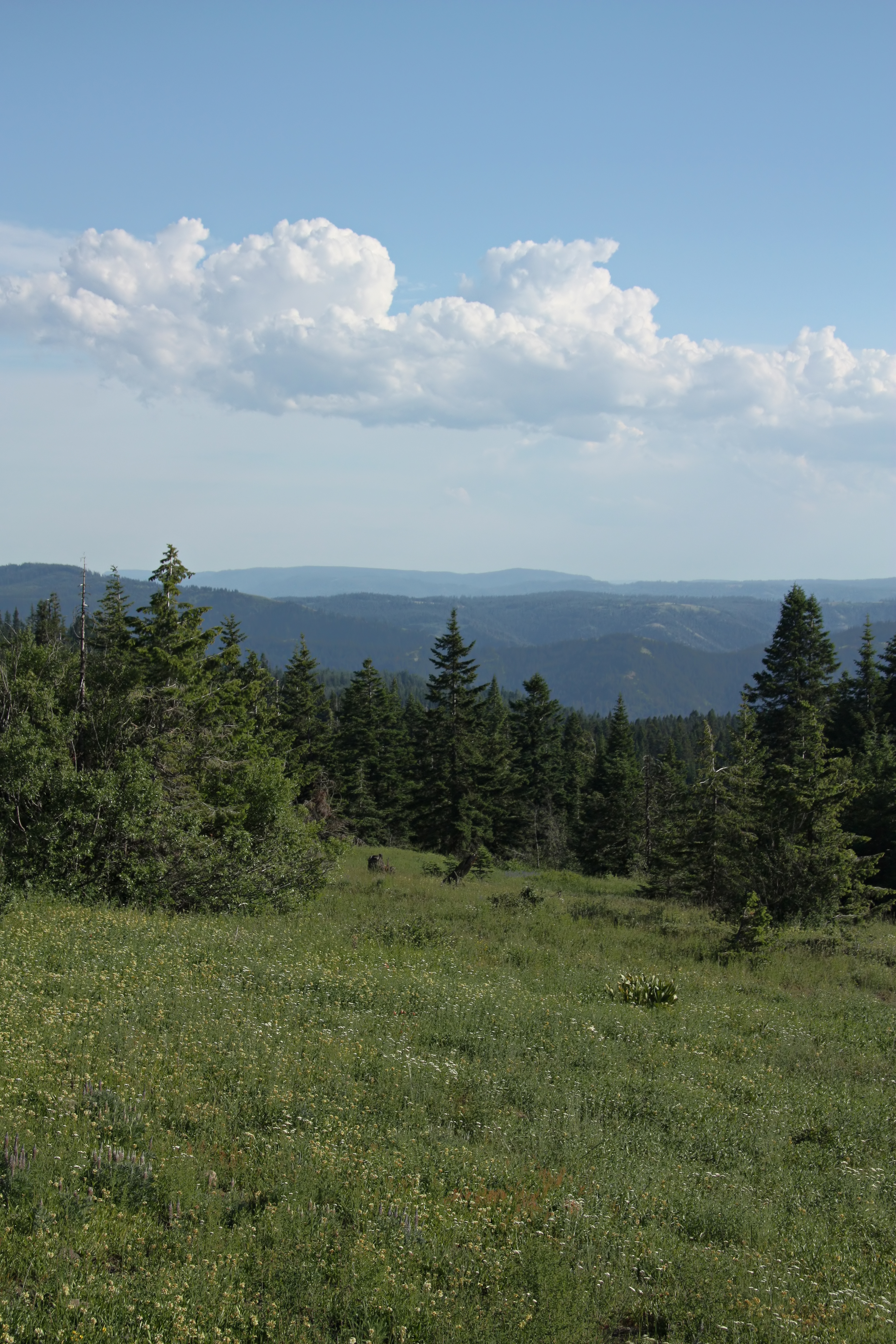
Blue Mountain View
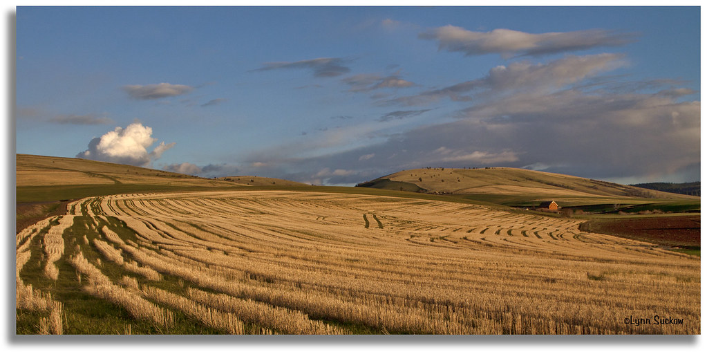
Evening in the country
.Wye at Gibbon, Oregon... 20090512_6026

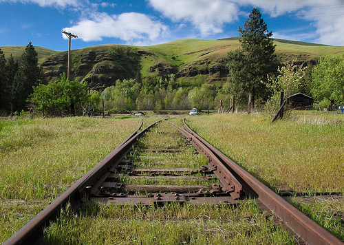
E. J. Haney Viewpoint
Leapin' lizards

The top
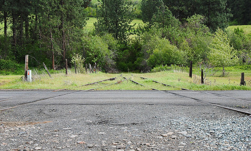
20090512_5957 Gibbon wye
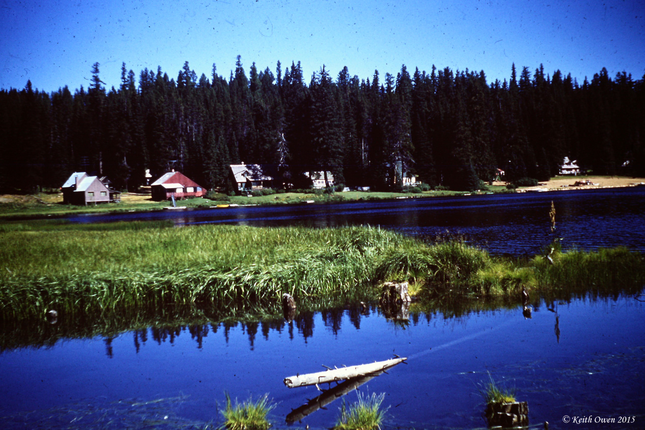
Langdon Lake
South Fork of the Walla Walla River Near Milton Freewater OR

Blue Mountain Tarn

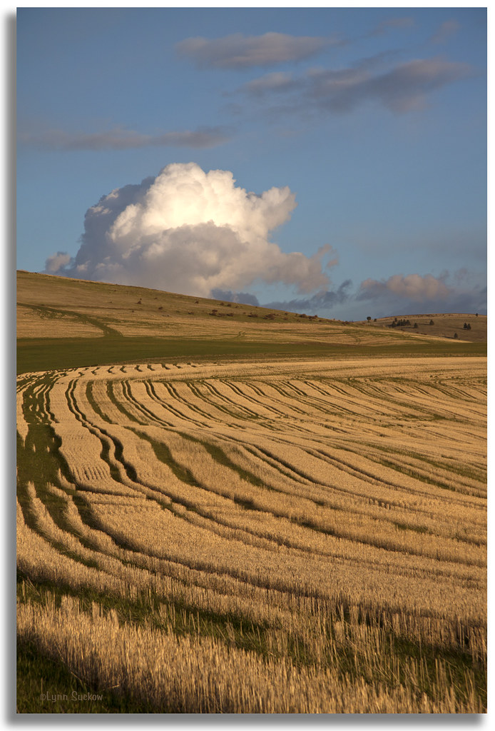
On the Horizon

Hay fields on SR-11

My current status

In and Around the PacNW

Buck Creek

Buck Creek 2

Buck Creek

Buck Creek Bridge and Main Lodge

E. J. Haney Viewpoint

Buck Creek

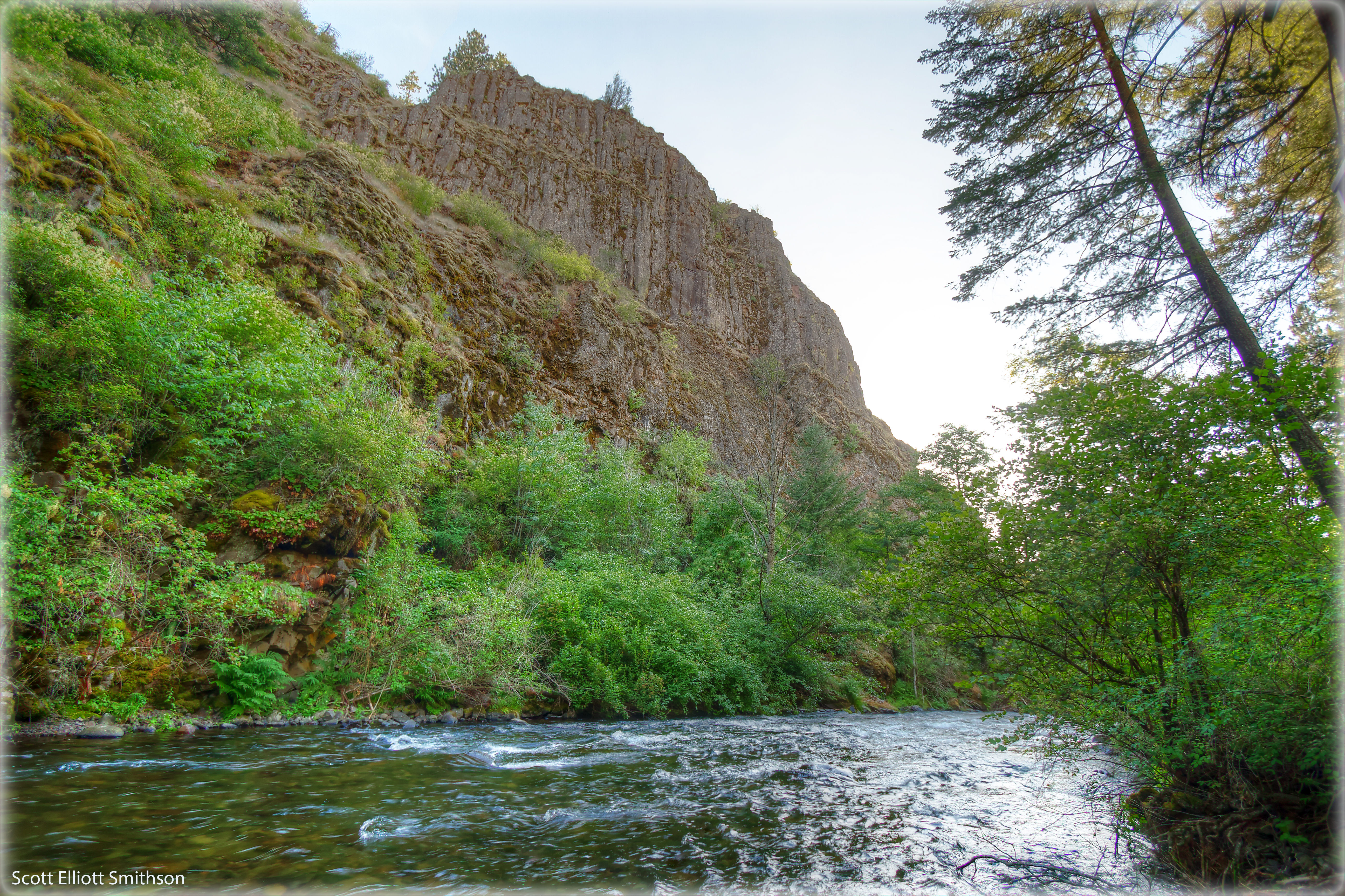
South Fork Walla Walla River, OR
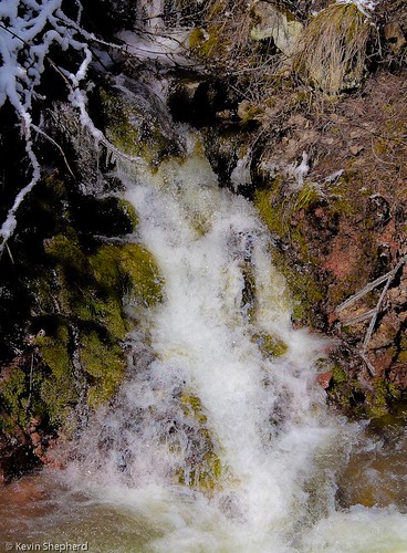
Waterfall on the Blue Mountain Pass - Oregon

Walla Walla River, monochrome
Topographic Map of Wildwood Loop, Weston, OR, USA
Find elevation by address:

Places near Wildwood Loop, Weston, OR, USA:
57894 Or-204
Umatilla Forks Campground
54818 Pine Creek Rd
54818 Pine Creek Rd
54818 Pine Creek Rd
54818 Pine Creek Rd
54818 Pine Creek Rd
54818 Pine Creek Rd
103 S Hill St
Weston
728 S Mill St
Milton-freewater
3853 Powerline Rd
84925 Tum-a-lum Rd
84981 Tum-a-lum Rd
84999 Tum-a-lum Rd
84999 Tum-a-lum Rd
85003 Tum-a-lum Rd
Mormon Grade Road
1050 Merlot Dr
Recent Searches:
- Elevation of Fern Rd, Whitmore, CA, USA
- Elevation of 62 Abbey St, Marshfield, MA, USA
- Elevation of Fernwood, Bradenton, FL, USA
- Elevation of Felindre, Swansea SA5 7LU, UK
- Elevation of Leyte Industrial Development Estate, Isabel, Leyte, Philippines
- Elevation of W Granada St, Tampa, FL, USA
- Elevation of Pykes Down, Ivybridge PL21 0BY, UK
- Elevation of Jalan Senandin, Lutong, Miri, Sarawak, Malaysia
- Elevation of Bilohirs'k
- Elevation of 30 Oak Lawn Dr, Barkhamsted, CT, USA