Elevation of Blue Jay Loop, Walla Walla, WA, USA
Location: United States > Washington > Walla Walla County > Walla Walla >
Longitude: -118.12967
Latitude: 46.0190765
Elevation: 595m / 1952feet
Barometric Pressure: 94KPa
Elevation Map:
Satellite Map:
Related Photos:
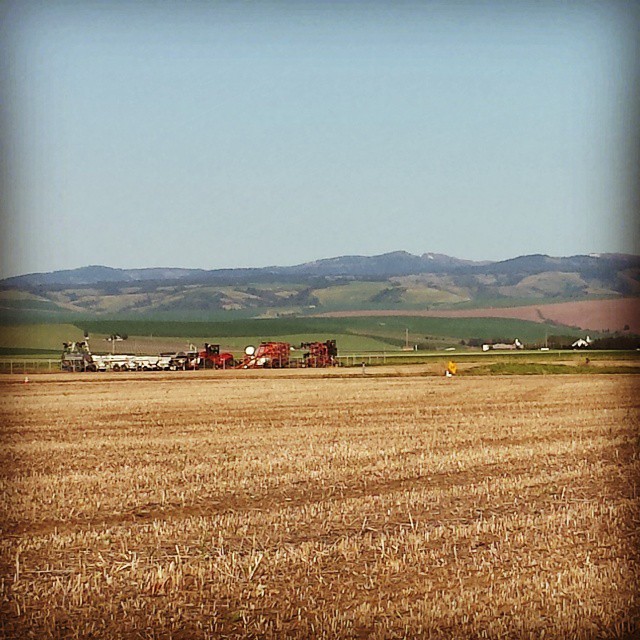
I really can't get enough of this view.
Topographic Map of Blue Jay Loop, Walla Walla, WA, USA
Find elevation by address:

Places near Blue Jay Loop, Walla Walla, WA, USA:
9000 Mill Creek Rd
Mormon Grade Road
7411 Mill Creek Rd
Scenic Loop Road
722 Scenic Loop Rd
1727 Greenbriar Drive
1311 Magnolia Dr
3853 Powerline Rd
958 Carmella St
90 Angelo Pl
2580 Cottonwood Rd
Howard-tietan Park
101 Sheridan Rd
336 Mccorkle Ln
682 Prospect Ave
835 W Langon Rd
1050 Merlot Dr
700 Country Club Rd
1552 Whiteley Rd
2918 Pebble Ct
Recent Searches:
- Elevation of Corso Fratelli Cairoli, 35, Macerata MC, Italy
- Elevation of Tallevast Rd, Sarasota, FL, USA
- Elevation of 4th St E, Sonoma, CA, USA
- Elevation of Black Hollow Rd, Pennsdale, PA, USA
- Elevation of Oakland Ave, Williamsport, PA, USA
- Elevation of Pedrógão Grande, Portugal
- Elevation of Klee Dr, Martinsburg, WV, USA
- Elevation of Via Roma, Pieranica CR, Italy
- Elevation of Tavkvetili Mountain, Georgia
- Elevation of Hartfords Bluff Cir, Mt Pleasant, SC, USA