Elevation of OR-, Weston, OR, USA
Location: United States > Oregon > Umatilla County > Weston >
Longitude: -118.24957
Latitude: 45.7893435
Elevation: 1144m / 3753feet
Barometric Pressure: 88KPa
Elevation Map:
Satellite Map:
Related Photos:
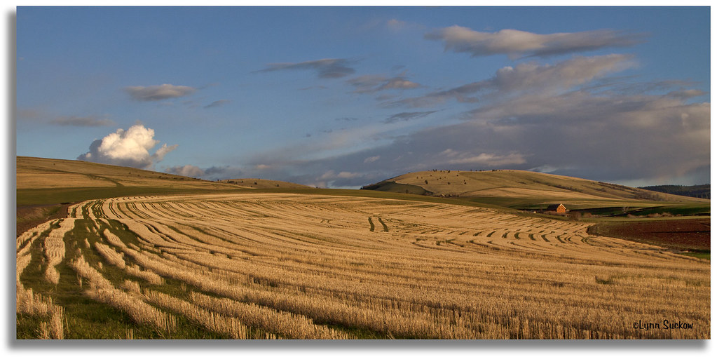
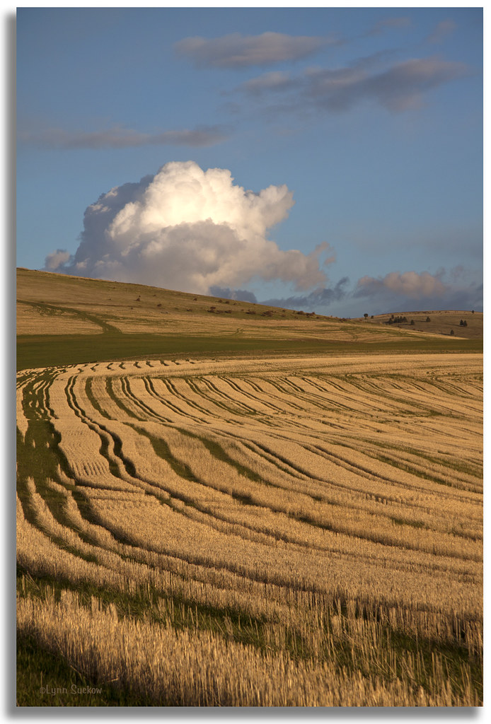
Evening in the country
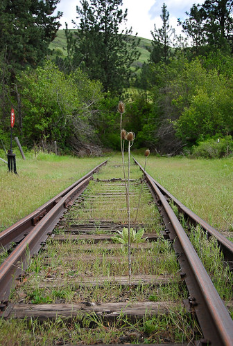
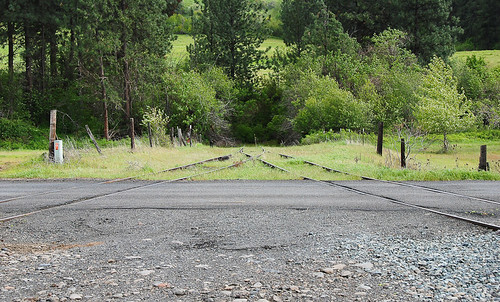
No whistle, just thistle (actually, just teazle, but that doesn't rhyme as well)... 20090512_5983
Leapin' lizards
Gibbon wye... 20090512_5957
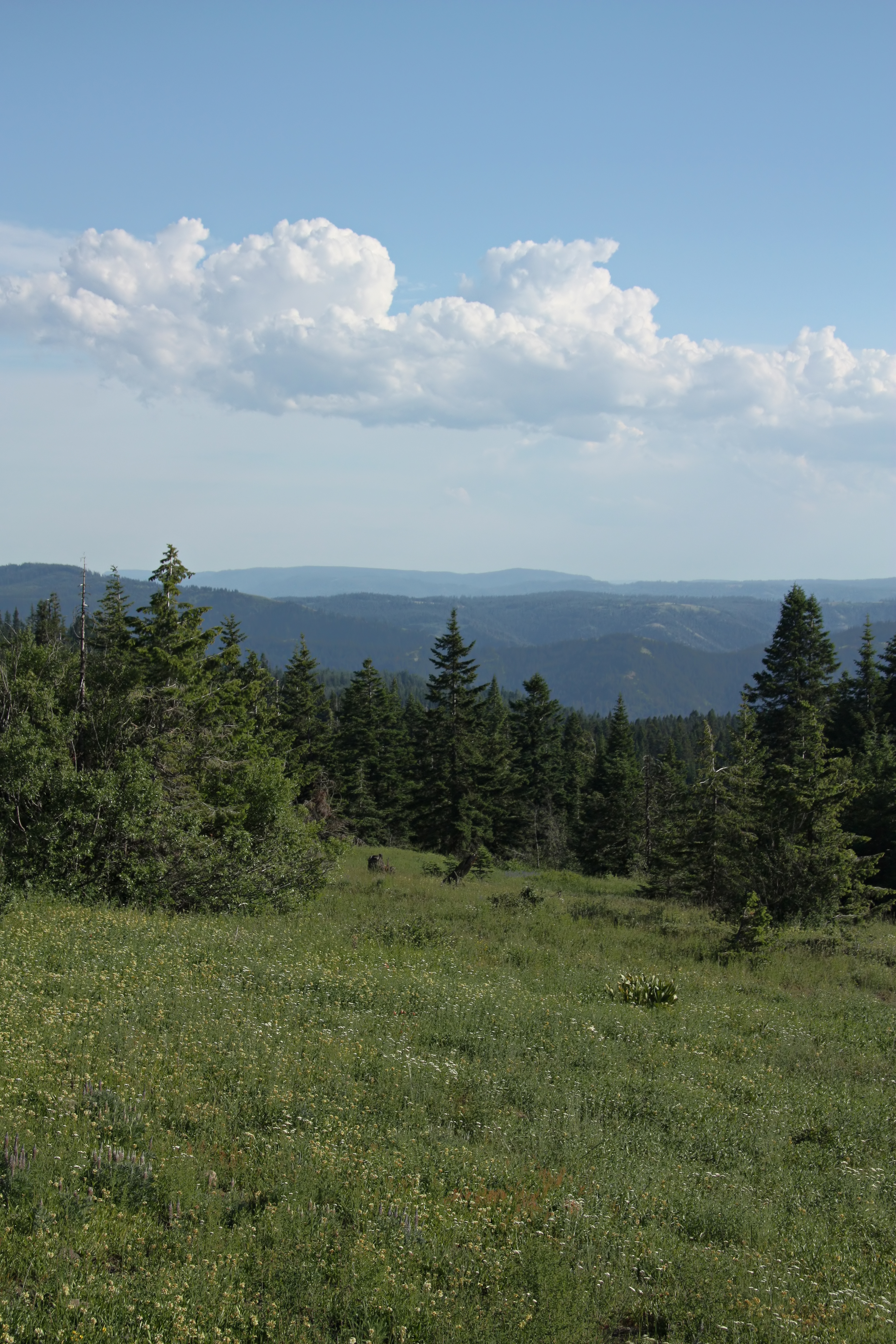
Blue Mountain View

20160604-IMG_20160604_140507.JPG

20160604-IMG_20160604_135009.JPG

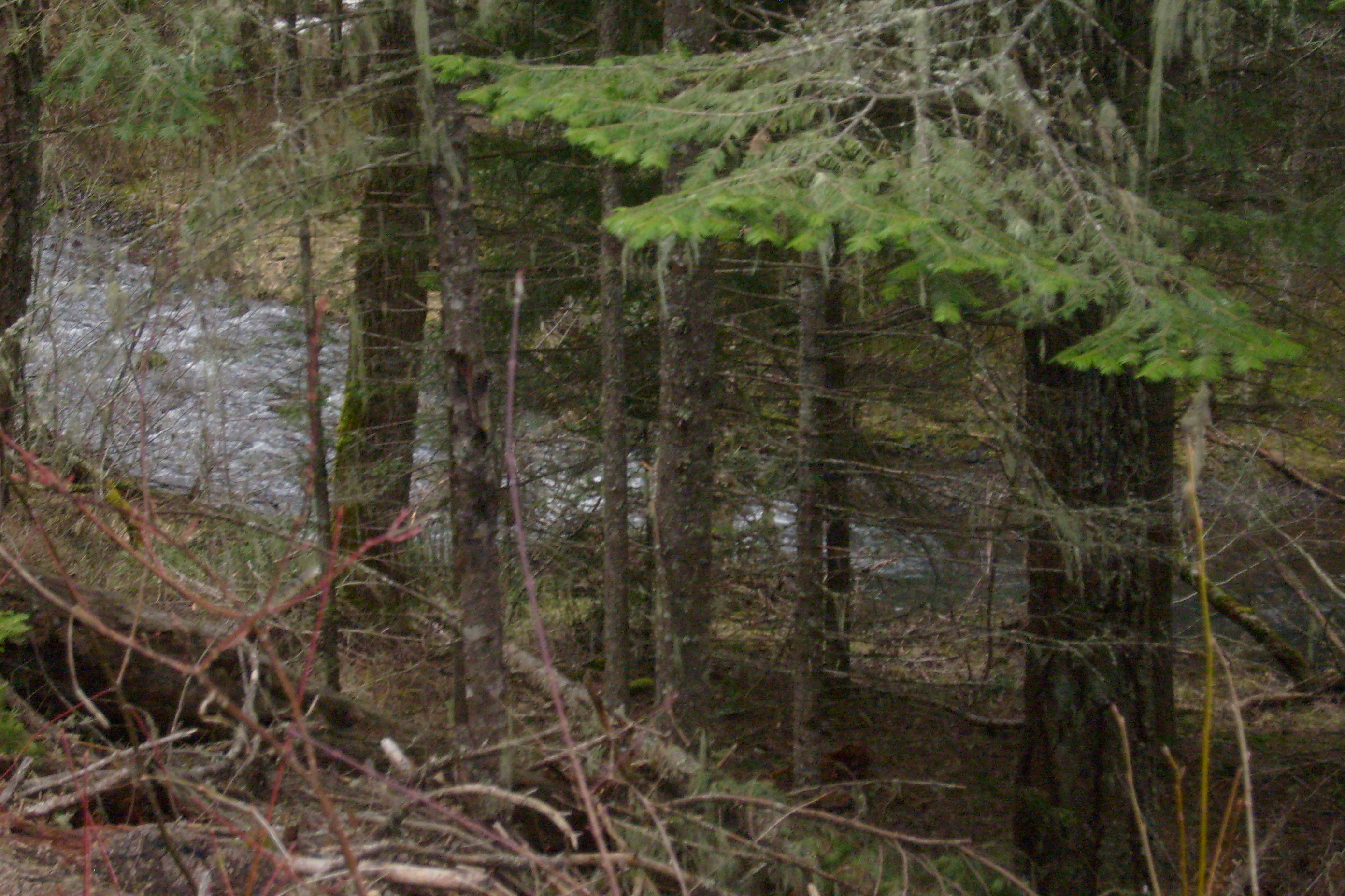
Buck Creek

South Fork Walla Walla River, OR

Wye at Gibbon, Oregon... 20090512_6119

Buck Creek 2

Walla Walla River, monochrome
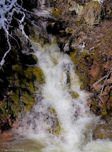
Waterfall on the Blue Mountain Pass - Oregon

Summertime on the Walla Walla River
Headin' to Weston
North Fork

Pure Forest Beauty
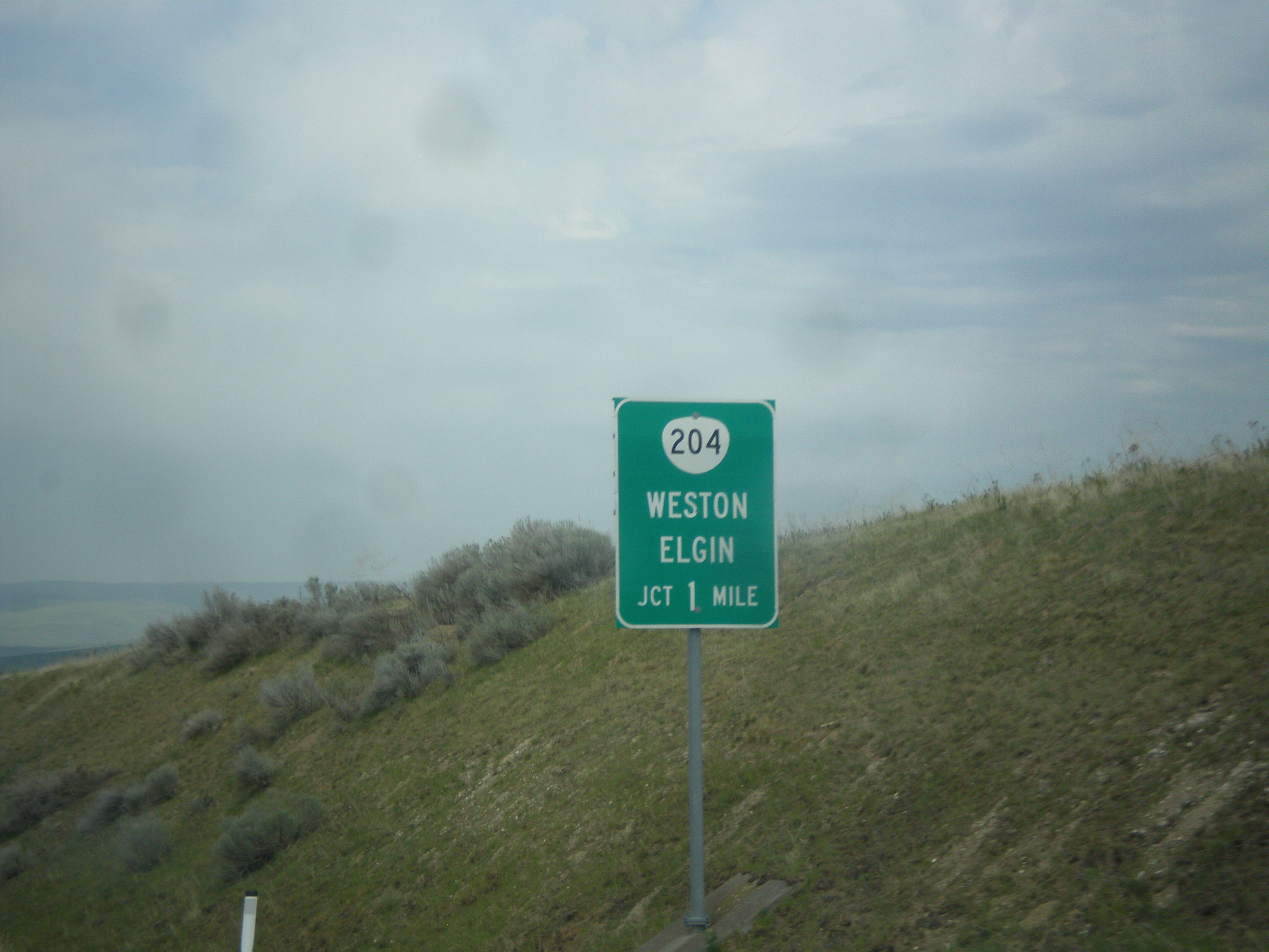
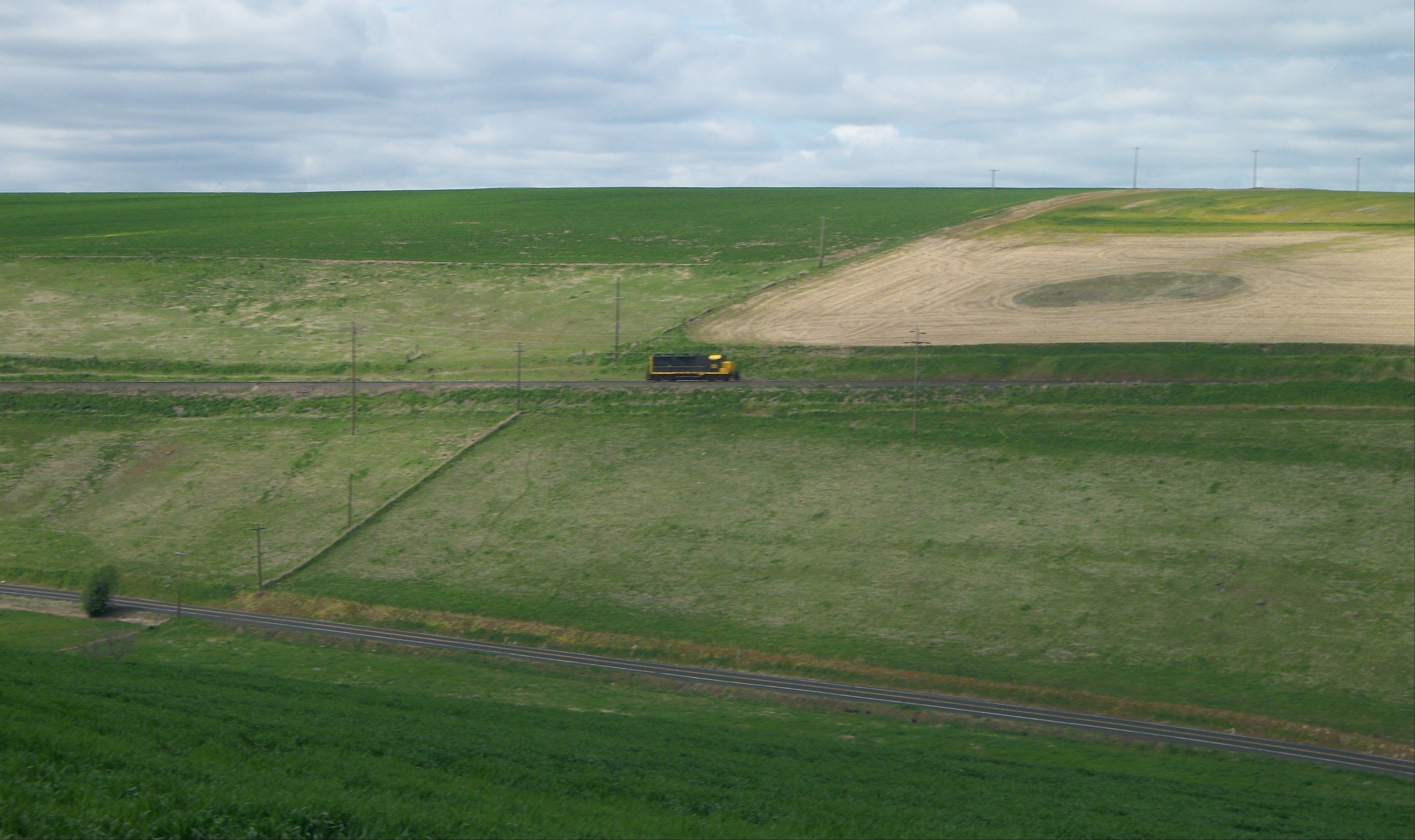
OR-11 North Approaching OR-204
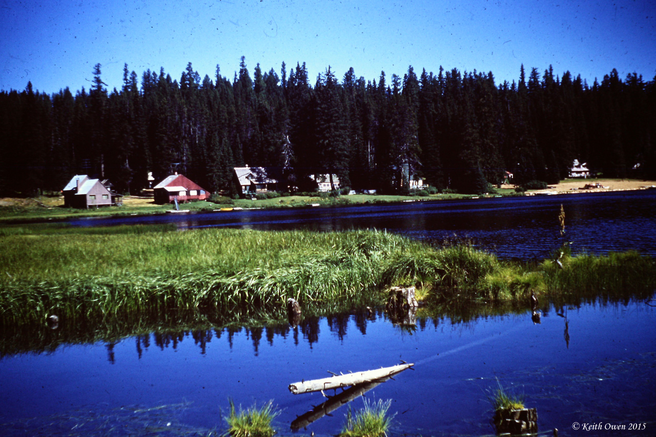
Langdon Lake

Trail to Coyote Creek Bridge
Topographic Map of OR-, Weston, OR, USA
Find elevation by address:

Places near OR-, Weston, OR, USA:
Wildwood Loop
Umatilla Forks Campground
54818 Pine Creek Rd
54818 Pine Creek Rd
54818 Pine Creek Rd
54818 Pine Creek Rd
54818 Pine Creek Rd
54818 Pine Creek Rd
103 S Hill St
Weston
728 S Mill St
Milton-freewater
84925 Tum-a-lum Rd
84981 Tum-a-lum Rd
84999 Tum-a-lum Rd
84999 Tum-a-lum Rd
85003 Tum-a-lum Rd
3853 Powerline Rd
424 E Currant St
900 N 5th St
Recent Searches:
- Elevation of Village Ln, Finleyville, PA, USA
- Elevation of 24 Oakland Rd #, Scotland, ON N0E 1R0, Canada
- Elevation of Deep Gap Farm Rd E, Mill Spring, NC, USA
- Elevation of Dog Leg Dr, Minden, NV, USA
- Elevation of Dog Leg Dr, Minden, NV, USA
- Elevation of Kambingan Sa Pansol Atbp., Purok 7 Pansol, Candaba, Pampanga, Philippines
- Elevation of Pinewood Dr, New Bern, NC, USA
- Elevation of Mountain View, CA, USA
- Elevation of Foligno, Province of Perugia, Italy
- Elevation of Blauwestad, Netherlands