Elevation of Coombs Loop, La Grande, OR, USA
Location: United States > Oregon > Union County > La Grande >
Longitude: -118.38594
Latitude: 45.2536851
Elevation: -10000m / -32808feet
Barometric Pressure: 295KPa
Elevation Map:
Satellite Map:
Related Photos:

DSC02019 (3) Side View

UP 3333 East at Motanic, OR

Cool Morning & Warm Rays

Oregon State Parks

Cycle Oregon 2006 Day 6

Bear Creek Ranch

Westbound Manifest

Westbound Manifest

Red-tailed Hawk

Red-breasted Nuthatch

Mountain Chickadee

Coyote in Wildflowers

full moon

Westbound Manifest
Westbound Manifest

Westbound Manifest

Westbound Manifest

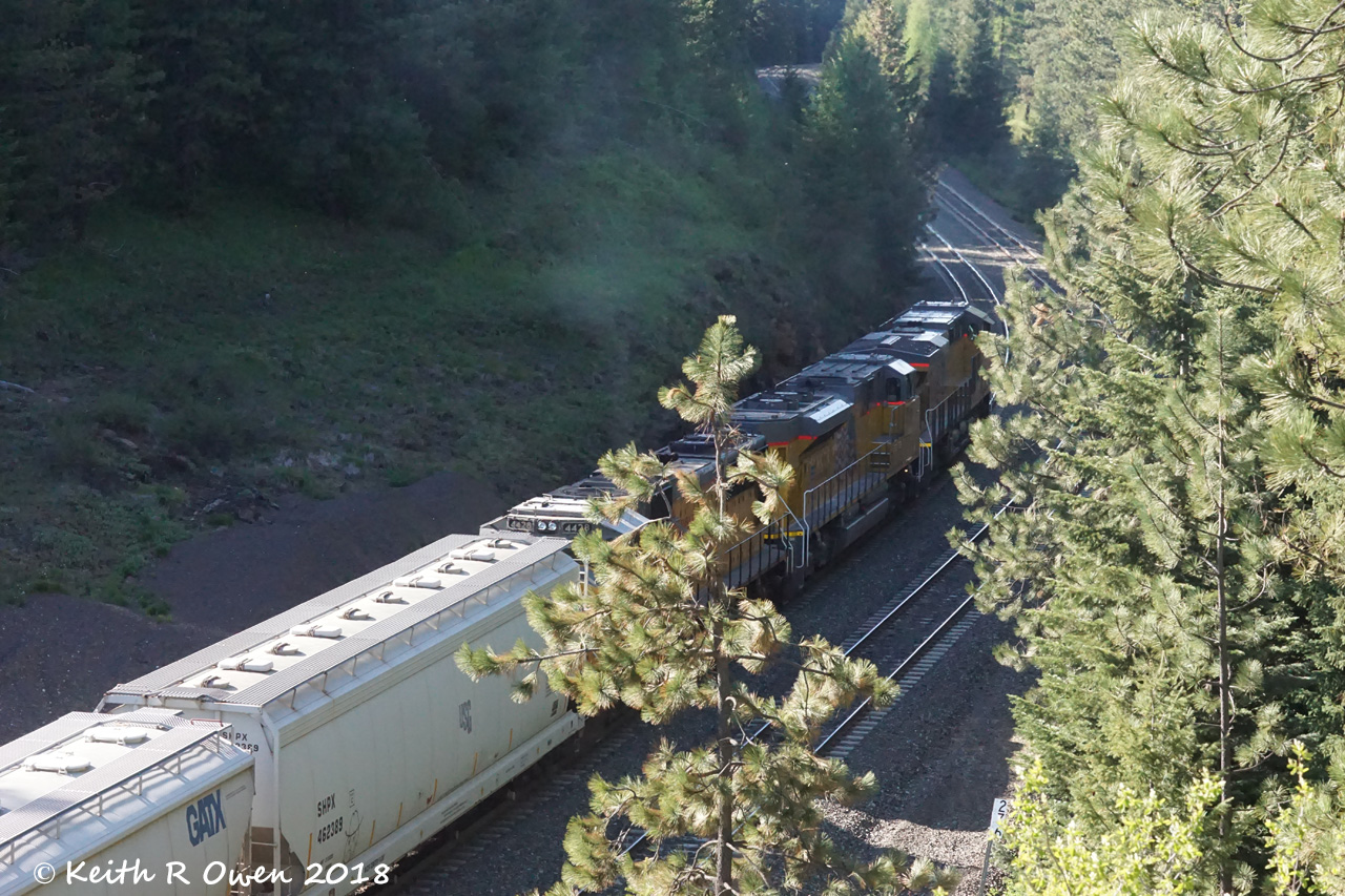
Canyon Rails

Canyon Rails

Sympetrum corruptum

Least Chipmunk

Least Chipmunk
Topographic Map of Coombs Loop, La Grande, OR, USA
Find elevation by address:

Places near Coombs Loop, La Grande, OR, USA:
58372 Grande Ronde Riv Rd
59161 Mcintyre Rd
Starkey
Staples St, La Grande, OR, USA
Hilgard
La Grande Reservoir
Meacham
National Forest Development Road 810
Deadman Pass Lookout Area
National Forest Development Road 030
National Forest Development Road 5415
Pilot Rock
NE 2nd St, Pilot Rock, OR, USA
Umatilla Forks Campground
54818 Pine Creek Rd
54818 Pine Creek Rd
54818 Pine Creek Rd
54818 Pine Creek Rd
54818 Pine Creek Rd
54818 Pine Creek Rd
Recent Searches:
- Elevation of Groblershoop, South Africa
- Elevation of Power Generation Enterprises | Industrial Diesel Generators, Oak Ave, Canyon Country, CA, USA
- Elevation of Chesaw Rd, Oroville, WA, USA
- Elevation of N, Mt Pleasant, UT, USA
- Elevation of 6 Rue Jules Ferry, Beausoleil, France
- Elevation of Sattva Horizon, 4JC6+G9P, Vinayak Nagar, Kattigenahalli, Bengaluru, Karnataka, India
- Elevation of Great Brook Sports, Gold Star Hwy, Groton, CT, USA
- Elevation of 10 Mountain Laurels Dr, Nashua, NH, USA
- Elevation of 16 Gilboa Ln, Nashua, NH, USA
- Elevation of Laurel Rd, Townsend, TN, USA