Elevation of Journeys End Ln, Wardensville, WV, USA
Location: United States > West Virginia > Hampshire County > Sherman >
Longitude: -78.597064
Latitude: 39.1977231
Elevation: 296m / 971feet
Barometric Pressure: 98KPa
Elevation Map:
Satellite Map:
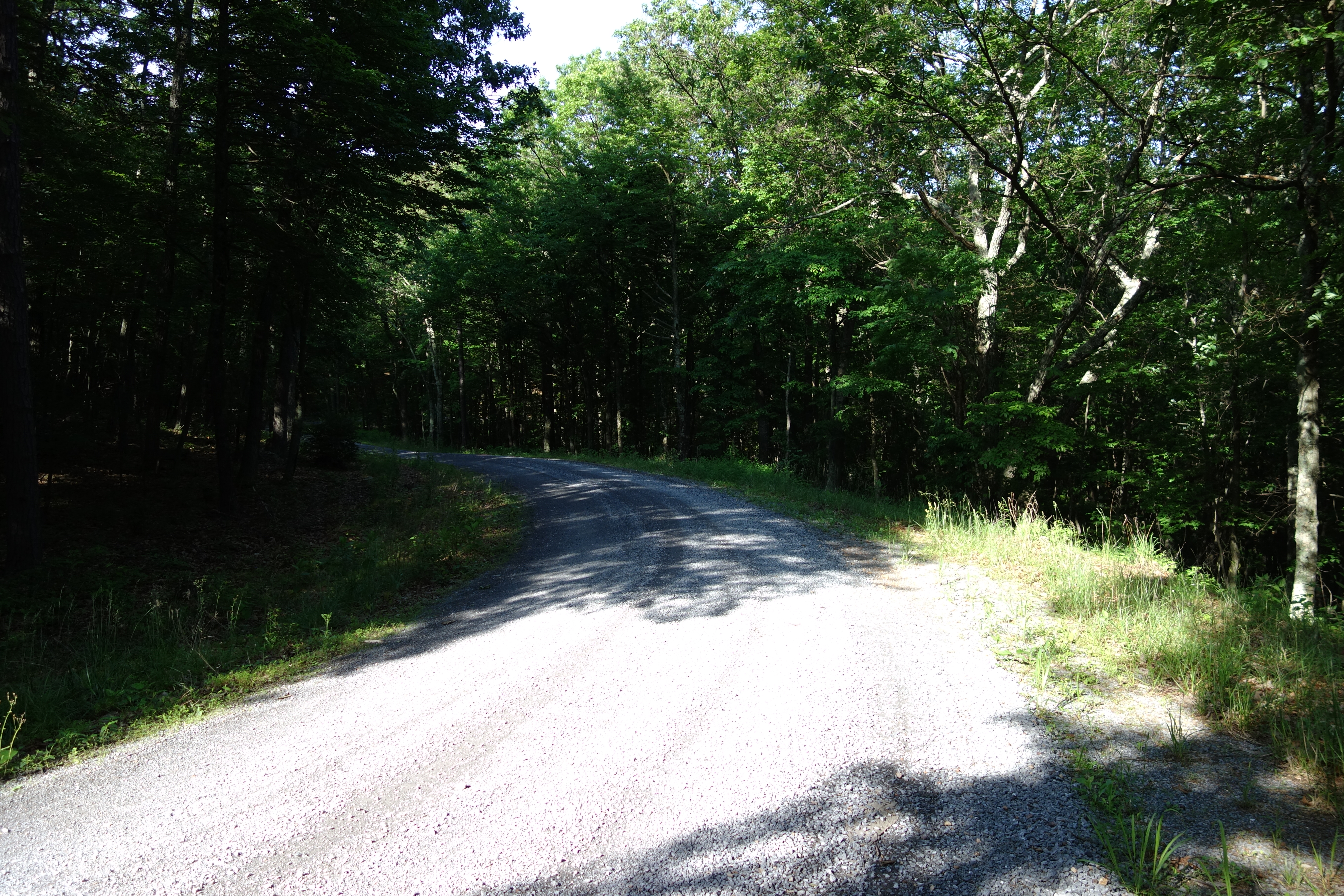
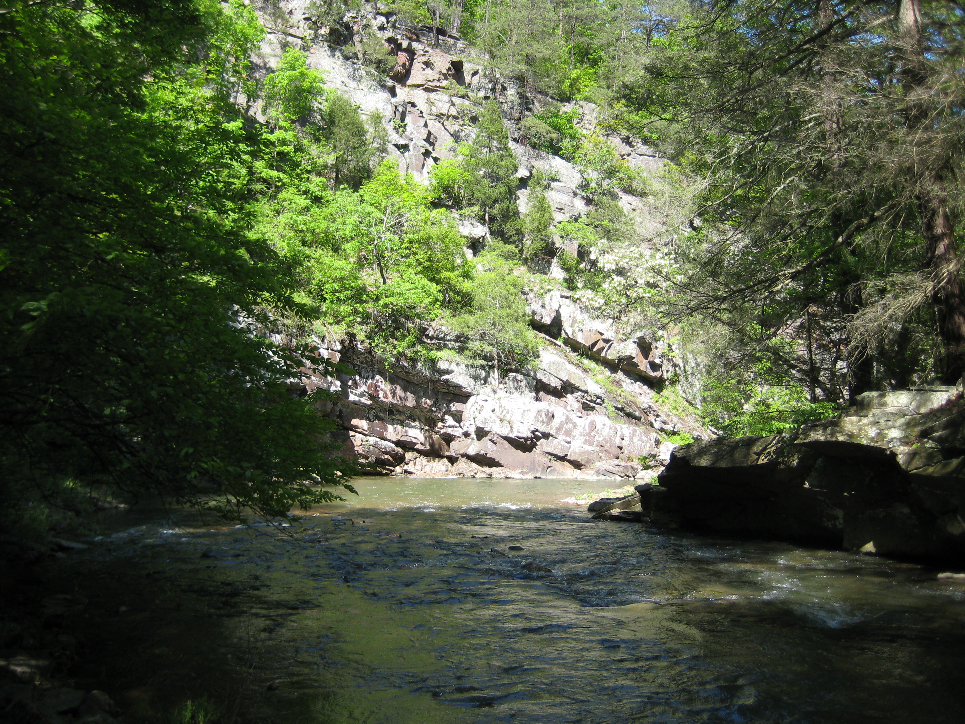
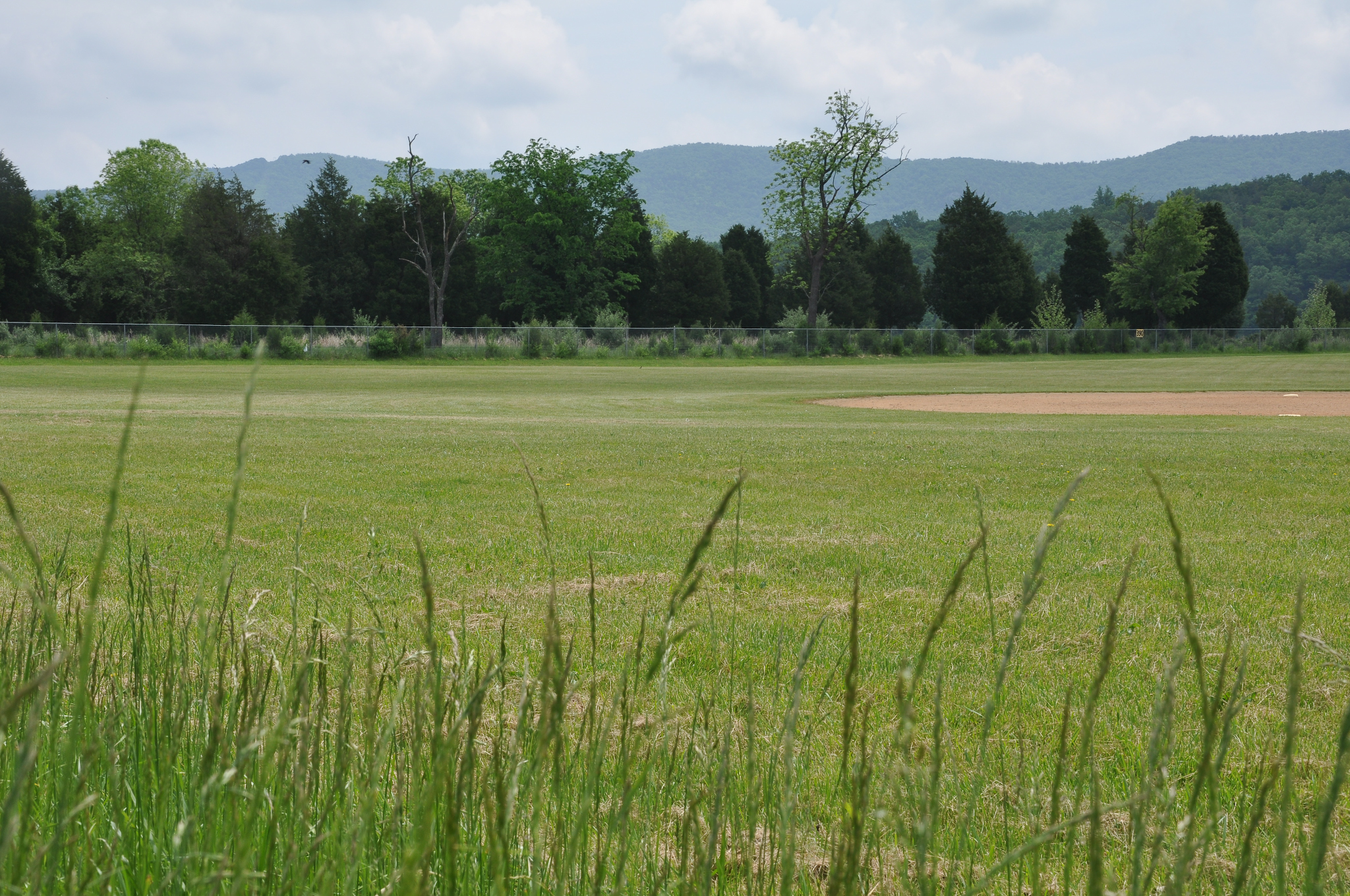
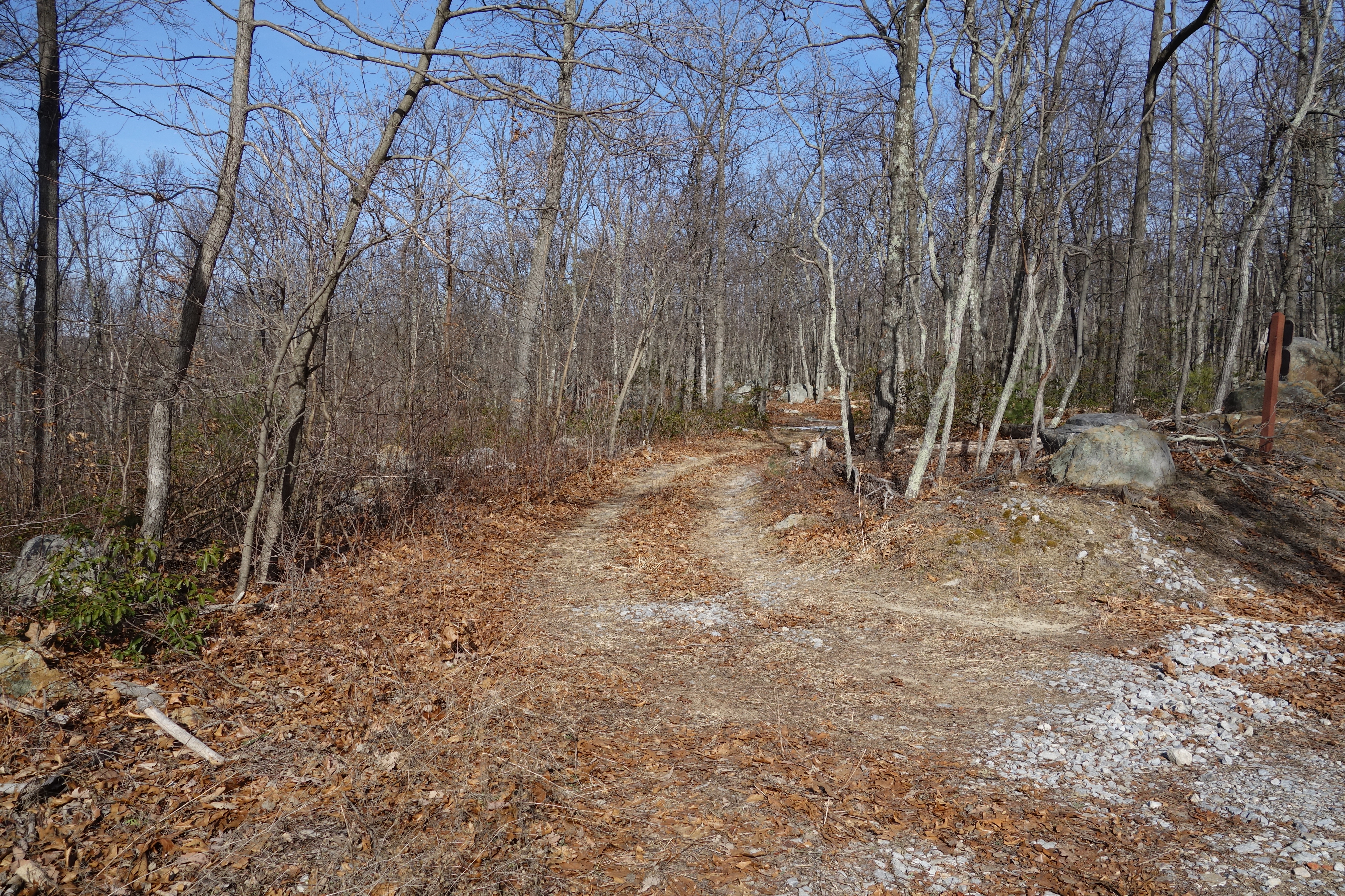
Related Photos:

View from new Cabin
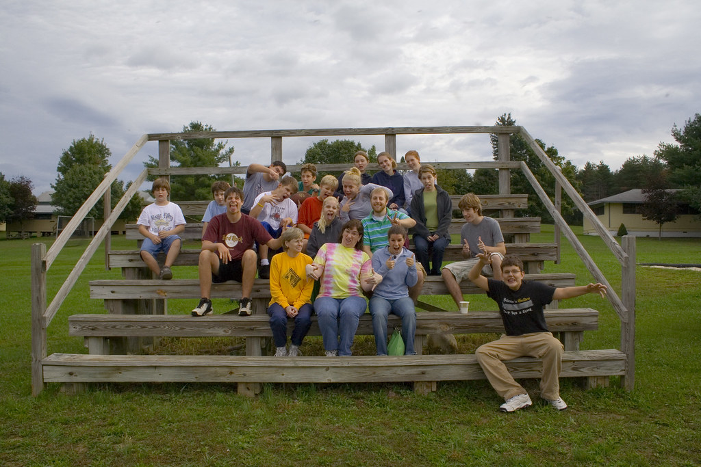
The Group - Funny Shot

Taking in the view from the #frontporch of the #oldredstore in #caponsprings

The #morning #panorama #view from the #cottage @ #caponsprings
DSC02420.JPG
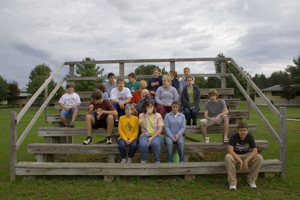
The Group - Not Ready Shot
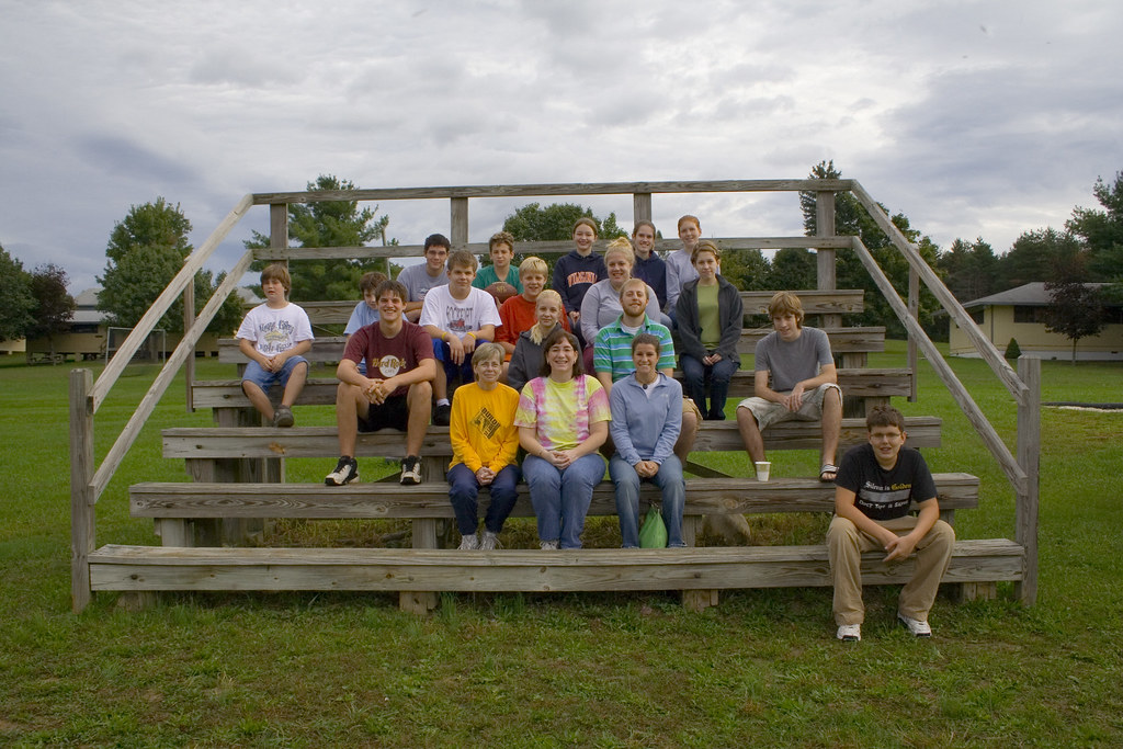
The Group - Real Shot
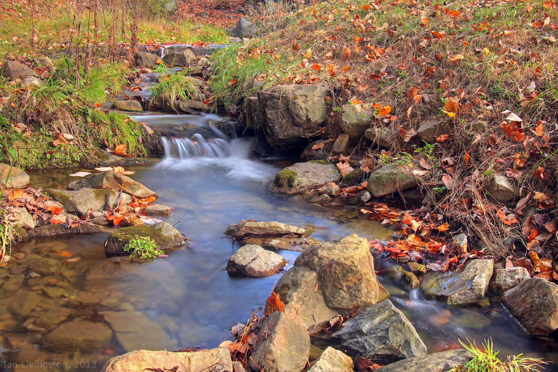
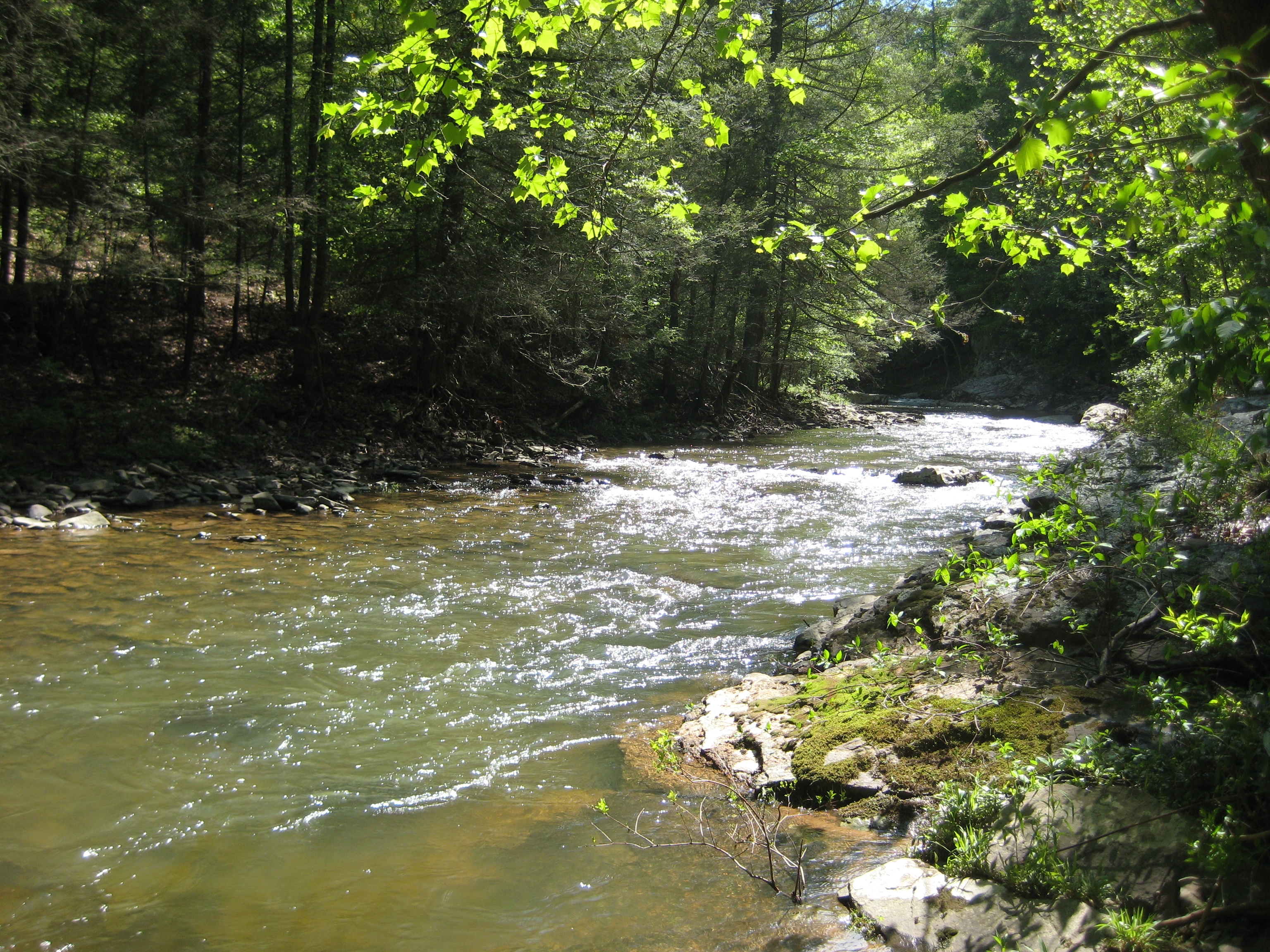
Fall at the creek within Capon Springs and Farms

Camera Roll-1037

Yellow #autumn #leaves along the sleepy #northforklittlecacaponriver #littlecacapon #littlecacaponriver #frenchburg #frenchburgwv #frenchburgwestvirginia #wv #westvirginia #wv_igers #autumn #fall #almostheaven #wildandwonderful #instanature #northwestern
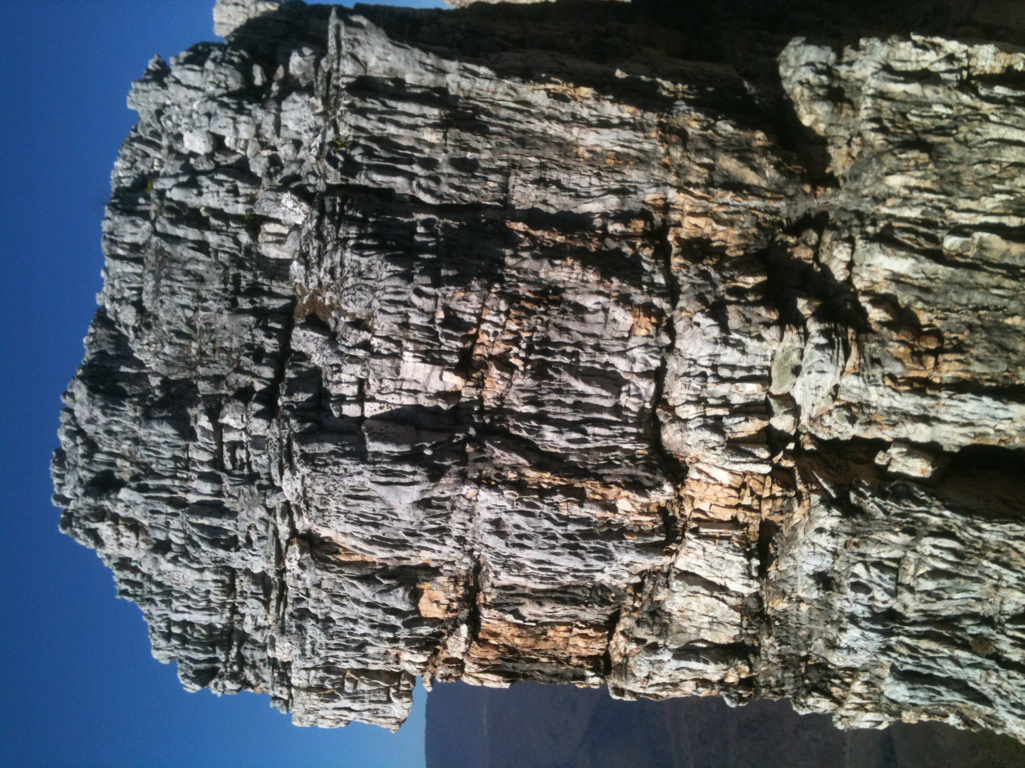
The Chimney itself
DSC_4383.JPG
20090525-DSC_0739
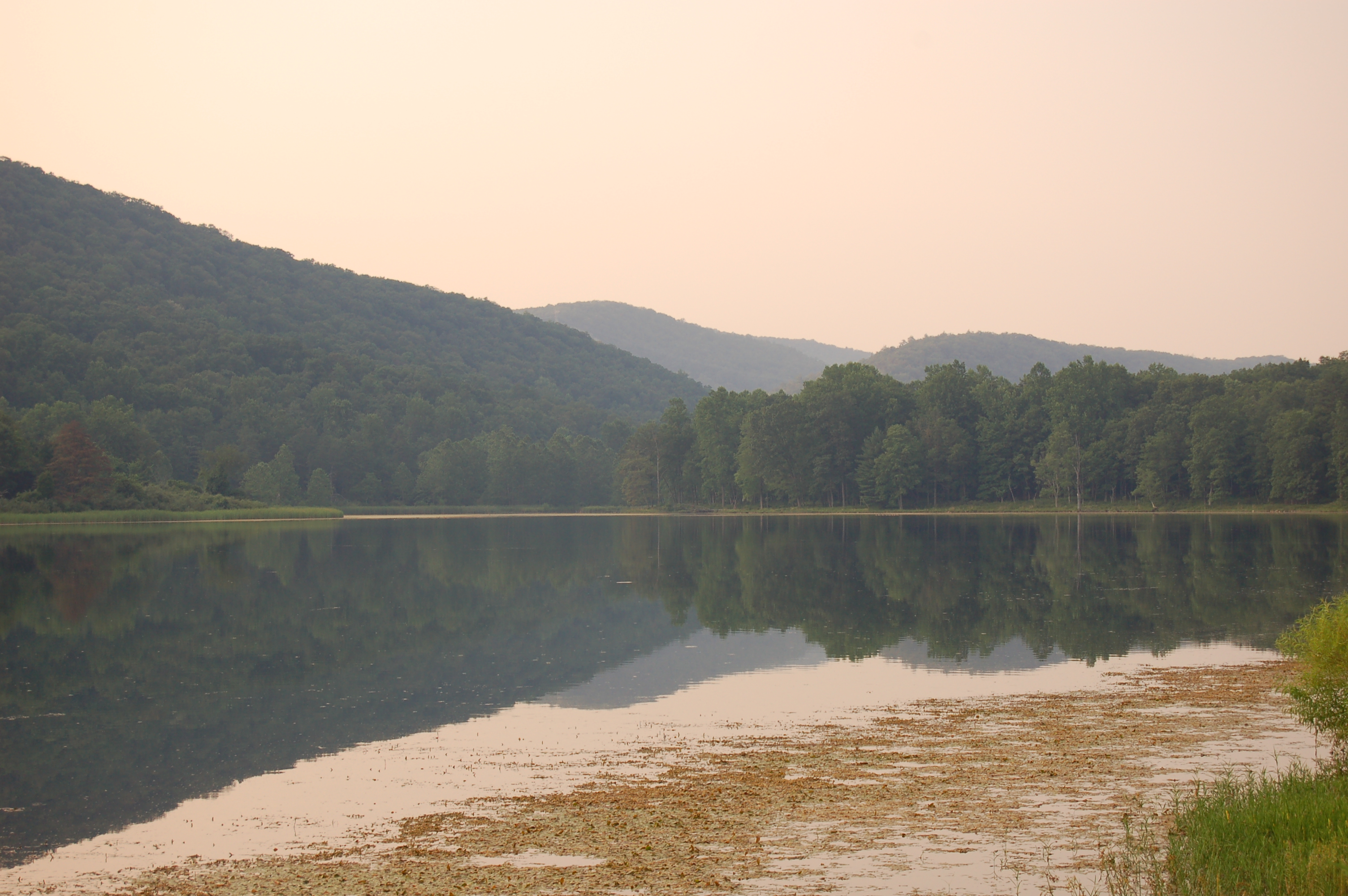
Tearcoat Creek
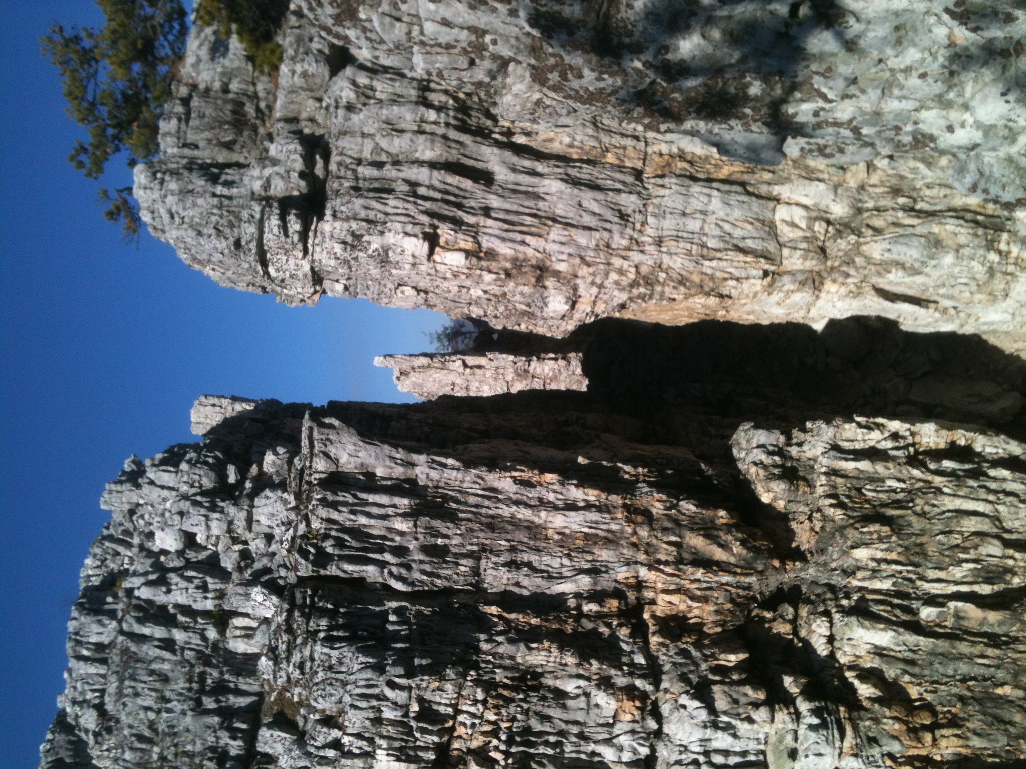
The Chimney
Camera Roll-1034
DSC_4418.JPG
Camera Roll-1036
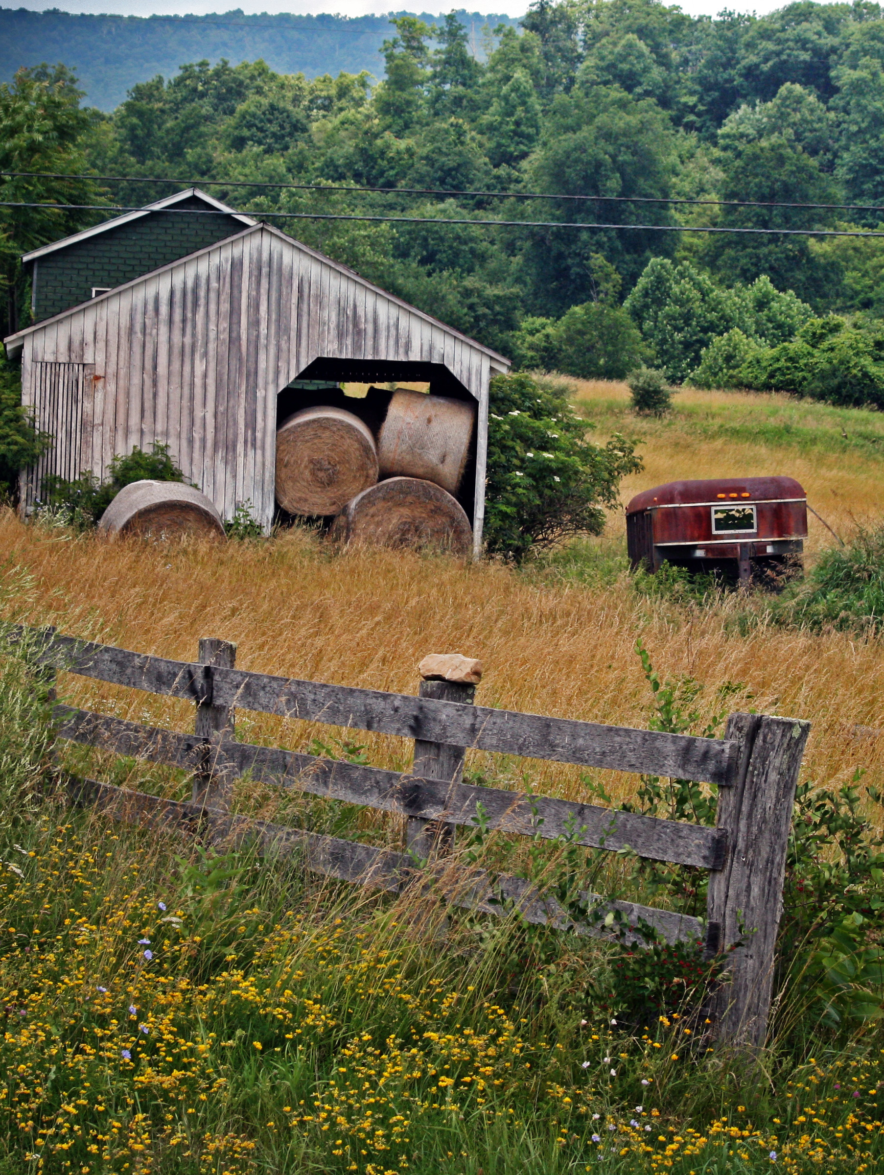
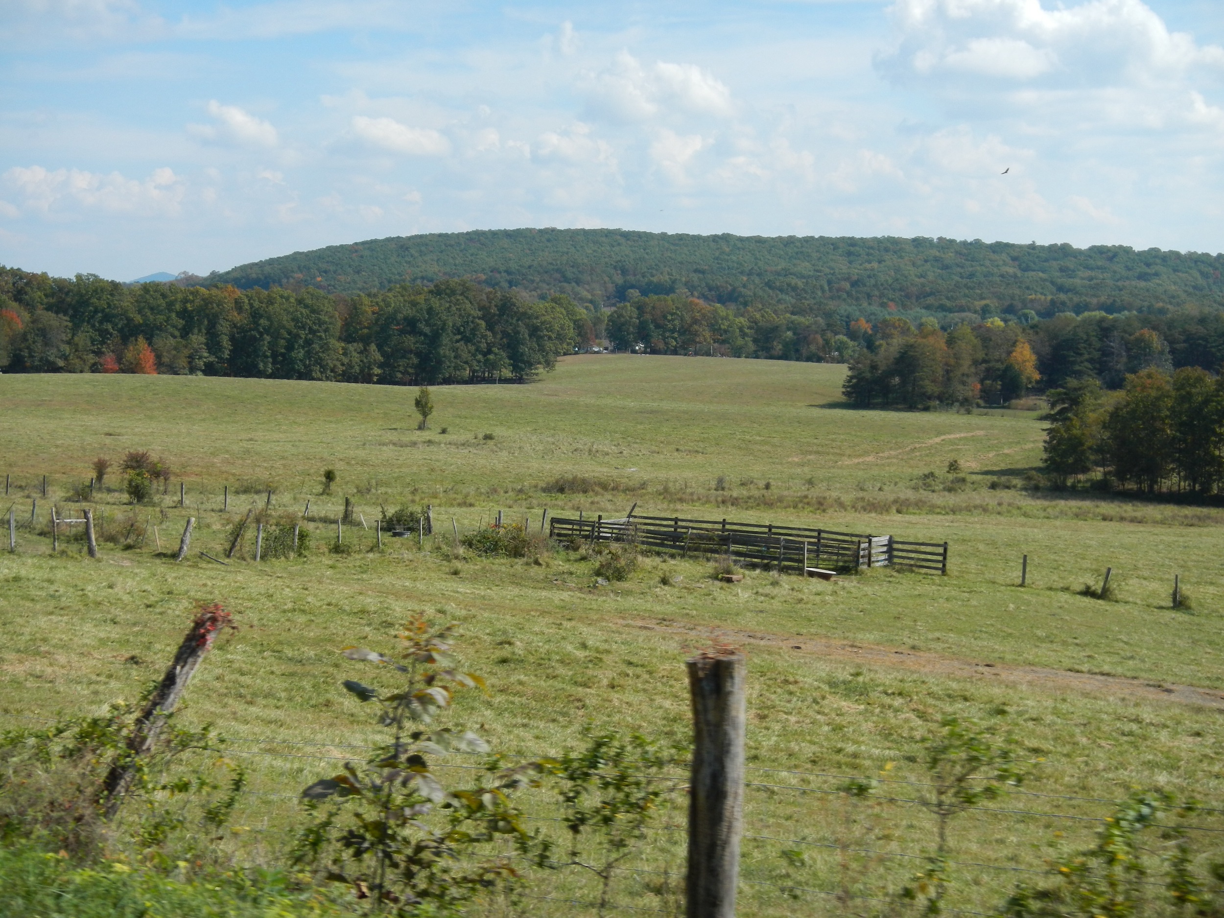
Hay Barn and Trailer
DSC_4409.JPG
DSC_4445.JPG
DSC01500 009 Hawk Campground sign
Tearcoat Creek
20090525-DSC_0698
DSC00988 003 Jct Squirrel Gap Rd and Sandy Ridge Tr

DSC00987 003 Jct Squirrel Gap Rd and Sandy Ridge Tr

DSC00991 004 Sandy Ridge Tr gate post

DSC00982 003 Jct Squirrel Gap Rd and Sandy Ridge Tr
Topographic Map of Journeys End Ln, Wardensville, WV, USA
Find elevation by address:

Places near Journeys End Ln, Wardensville, WV, USA:
Delray
South Lick Run Road
South Lick Run Road
Peaks View Drive
Deep Woods Run
Paul's Woods Road
Baker Mountain Drive
553 Warden Lake A B Dr
10000 Wv-29
Lehew, WV, USA
902 Warden Hollow West Rd
Yellow Spring
Capon River Rd, High View, WV, USA
Capon River Rd, High View, WV, USA
Rio
Capon
1235 Lost River Ridge Cir
1608 County Rte 53
999 Lost River Ridge Cir
999 Lost River Ridge Cir
Recent Searches:
- Elevation of Corso Fratelli Cairoli, 35, Macerata MC, Italy
- Elevation of Tallevast Rd, Sarasota, FL, USA
- Elevation of 4th St E, Sonoma, CA, USA
- Elevation of Black Hollow Rd, Pennsdale, PA, USA
- Elevation of Oakland Ave, Williamsport, PA, USA
- Elevation of Pedrógão Grande, Portugal
- Elevation of Klee Dr, Martinsburg, WV, USA
- Elevation of Via Roma, Pieranica CR, Italy
- Elevation of Tavkvetili Mountain, Georgia
- Elevation of Hartfords Bluff Cir, Mt Pleasant, SC, USA