Elevation of Japan, 〒- Fukushima-ken, Minamisōma-shi, Odakaku Ōmachi, 1 Chome−12 モダンスタイル
Location: Japan > Fukushima Prefecture > Minamisoma > 1 Chome-12 Odakaku Ōmachi >
Longitude: 140.989856
Latitude: 37.5644667
Elevation: 6m / 20feet
Barometric Pressure: 101KPa
Elevation Map:
Satellite Map:
Related Photos:
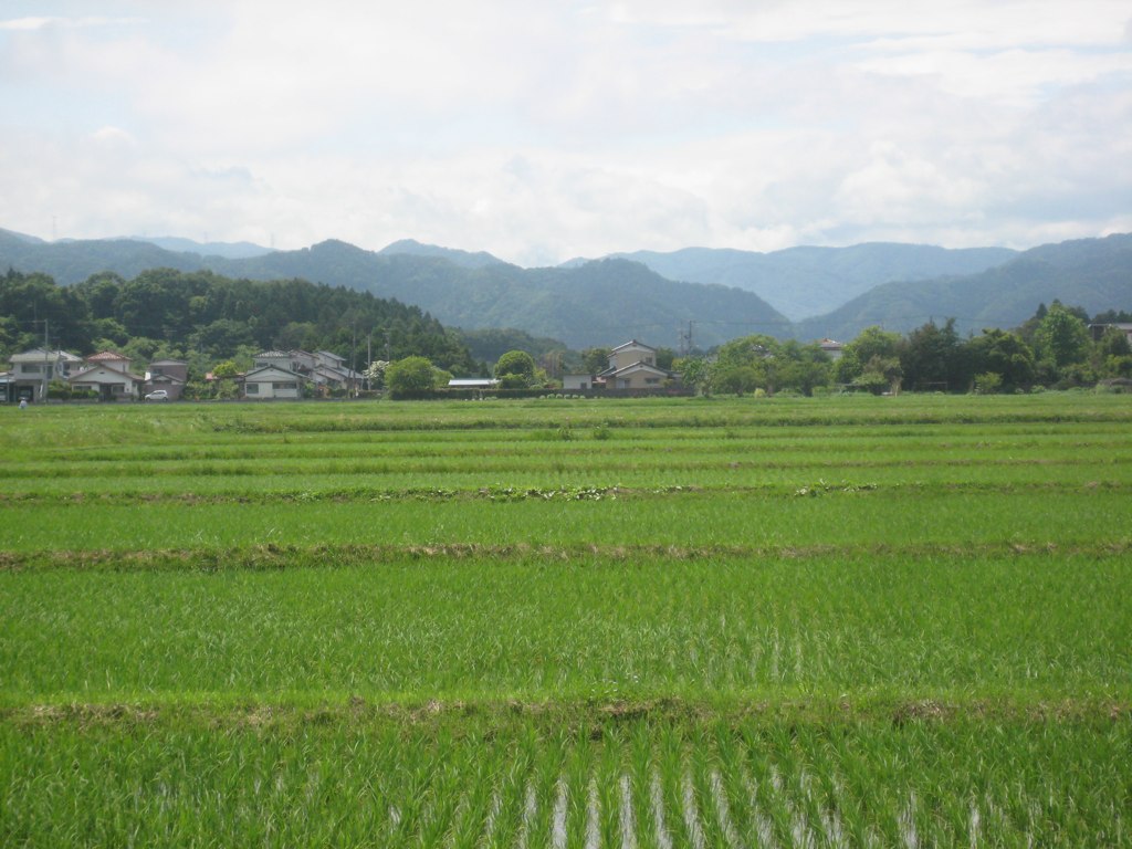
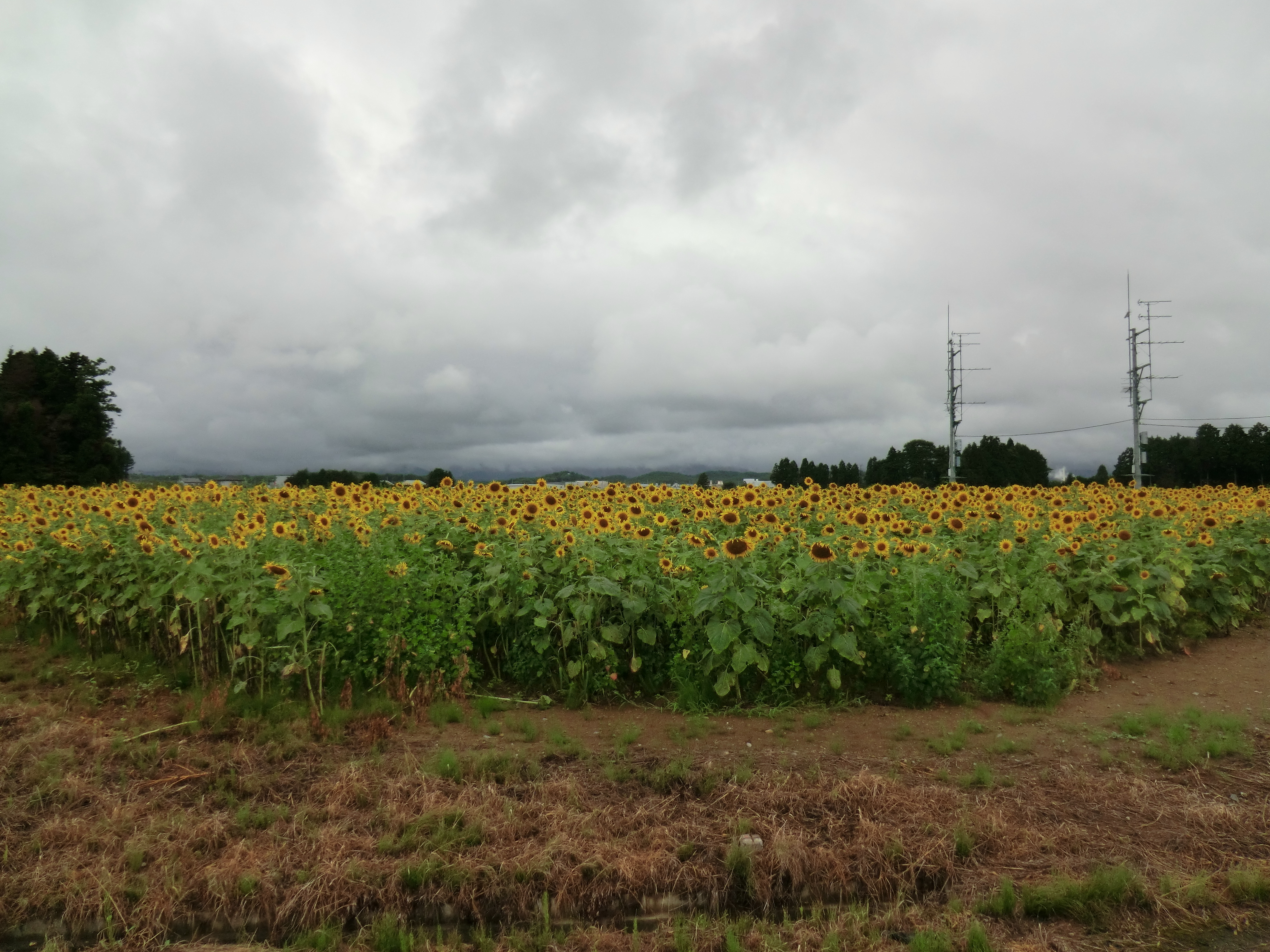
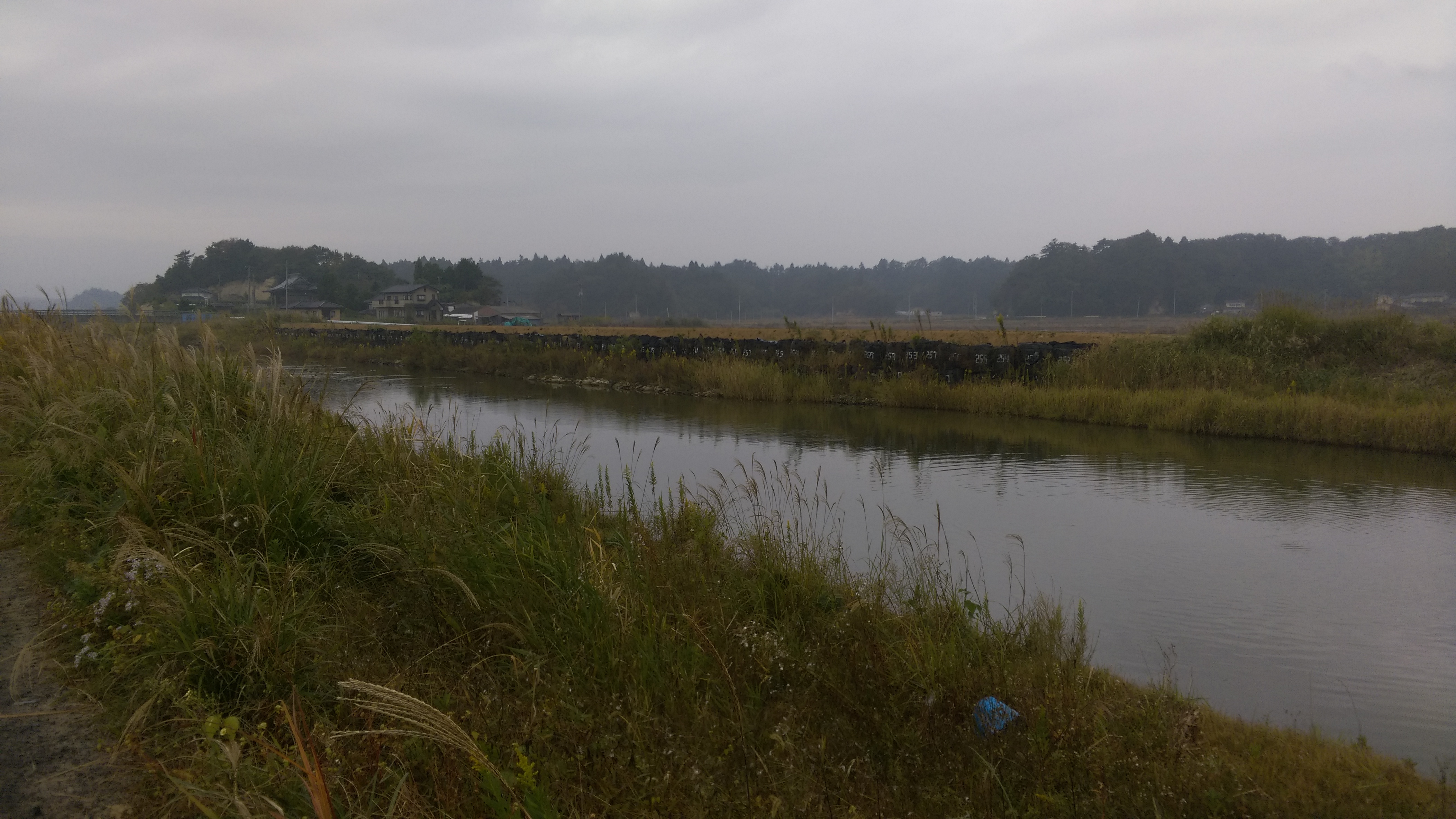
Ricefields & Mountains
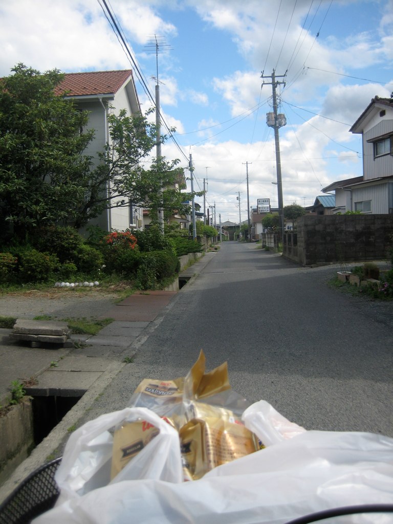
Rider's-Eye-View of my street
Day 310/365
Minami Souma 南相馬市
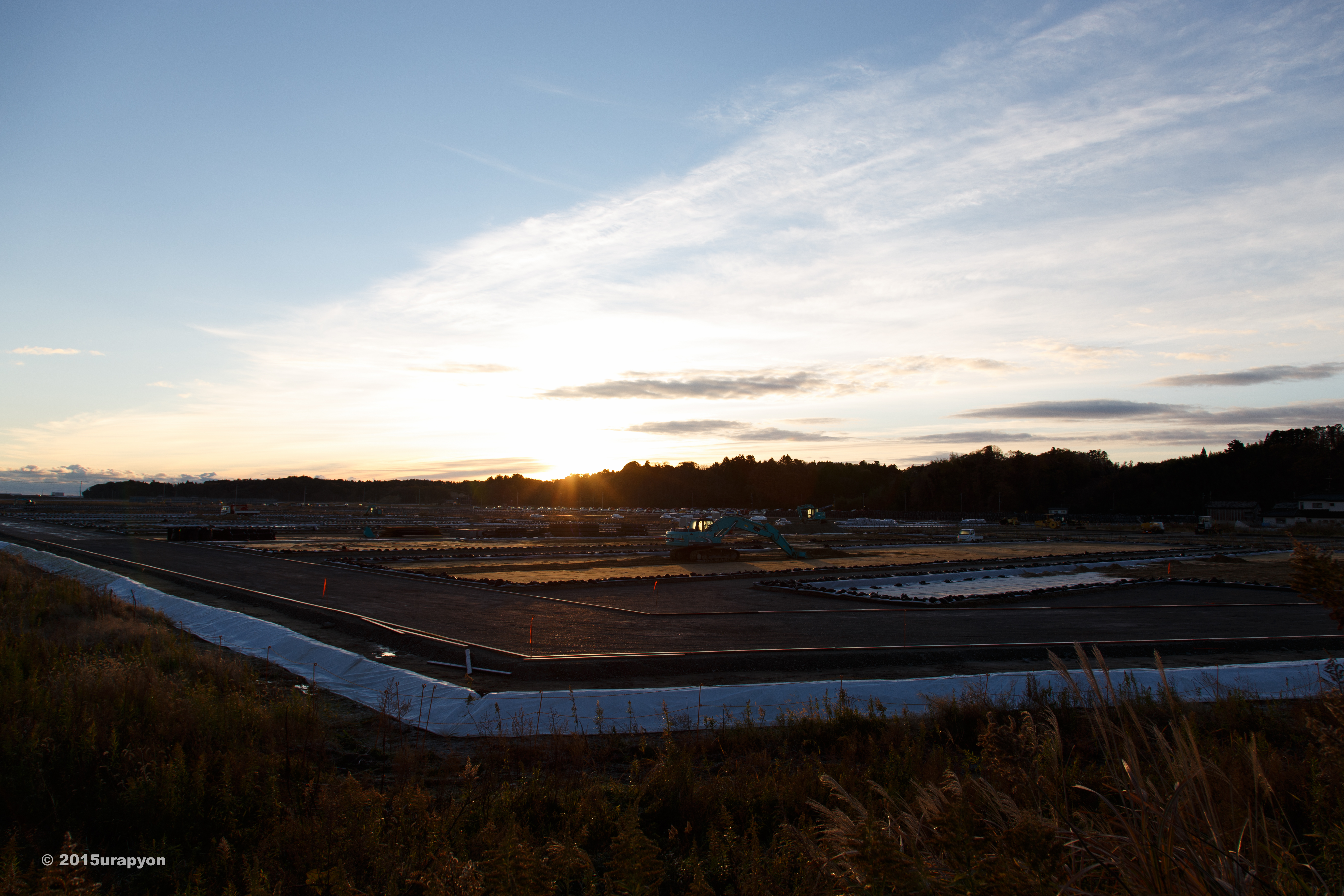
南相馬市の除染廃棄物仮置き場

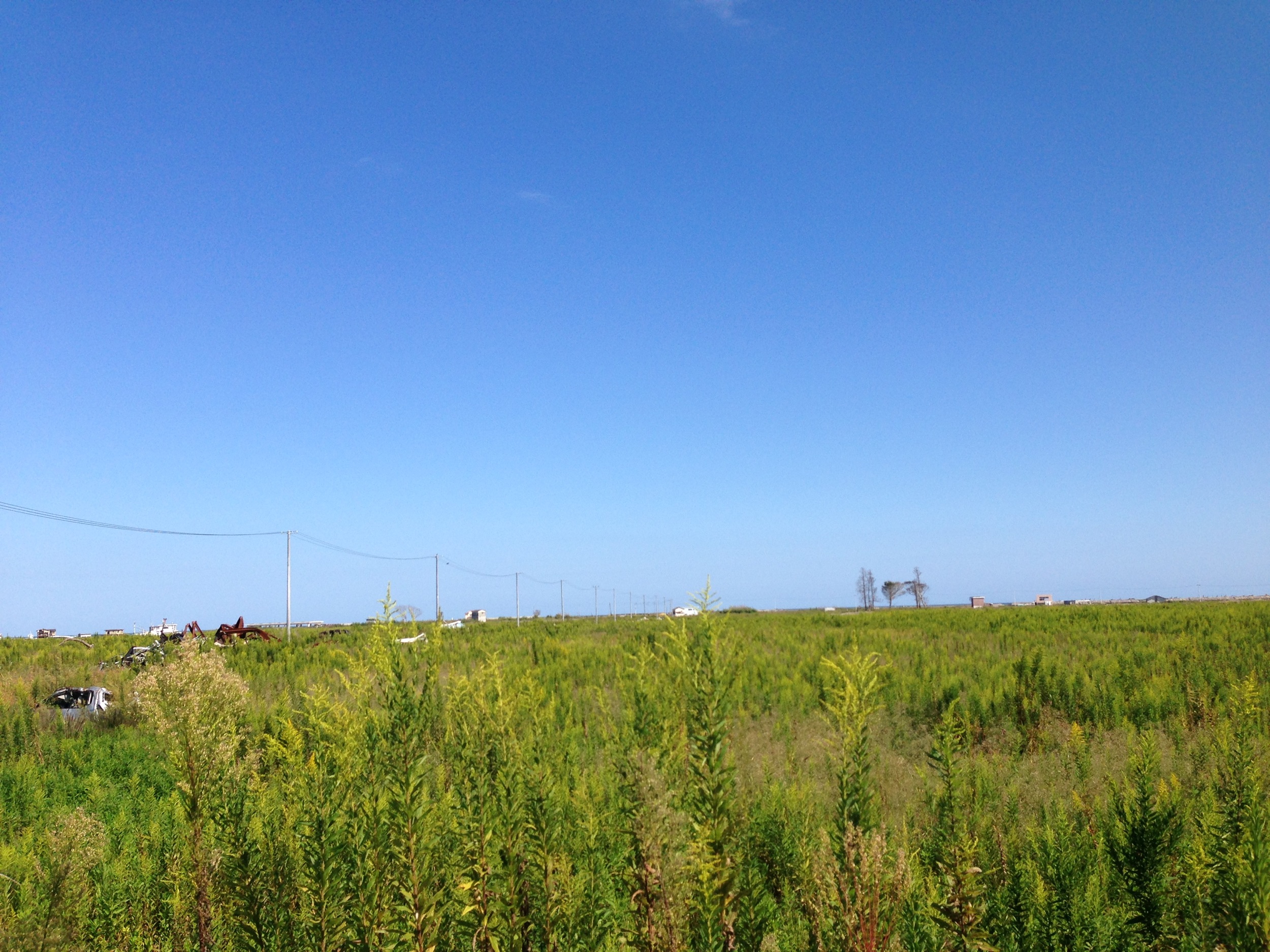
one's old home
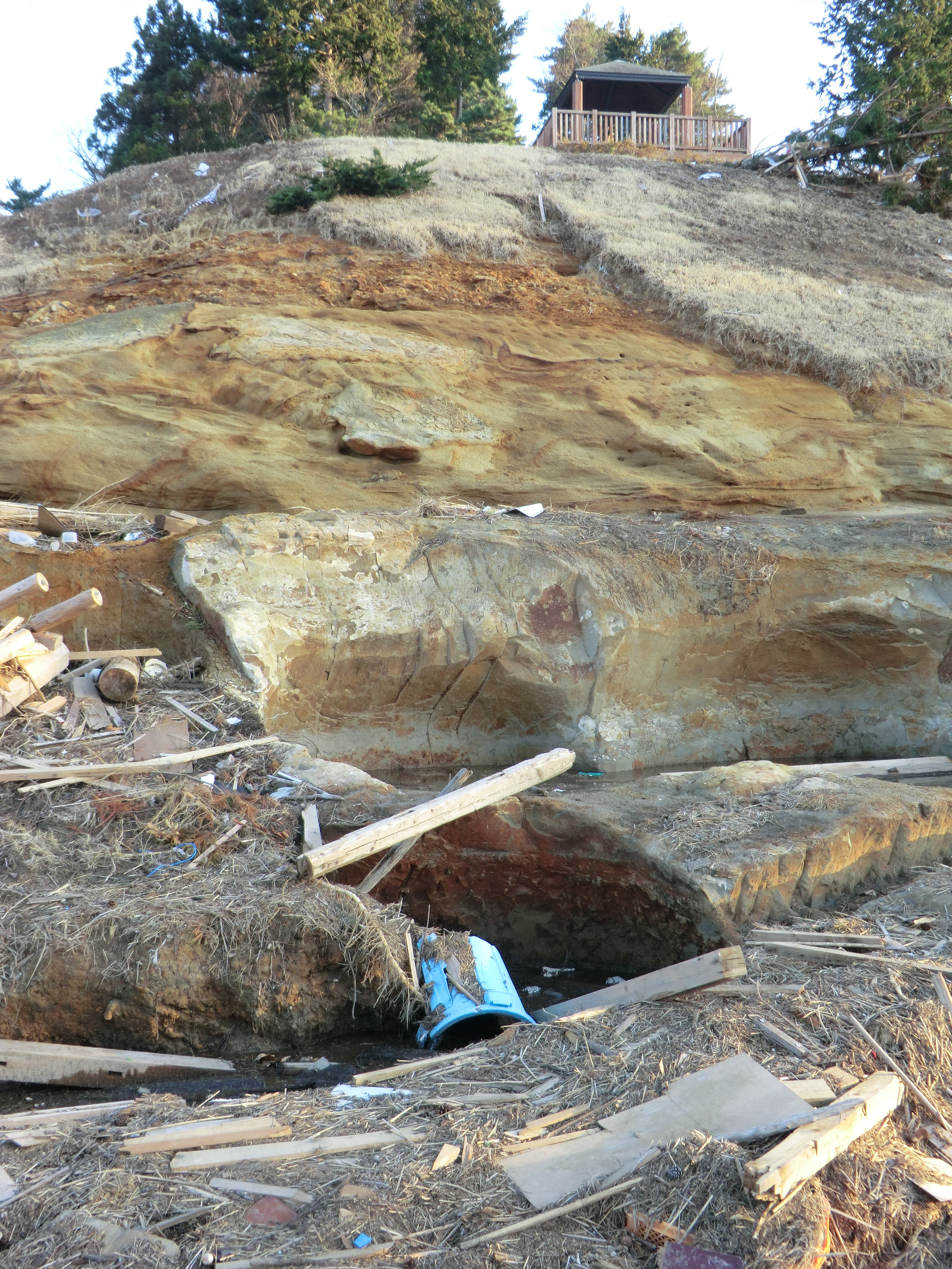
Itate, Minamisoma & Namie-32
Itate, Minamisoma & Namie-33
Itate, Minamisoma & Namie-29
CIMG1262.JPG
CIMG1155.JPG
CIMG0428.JPG
CIMG0429.JPG
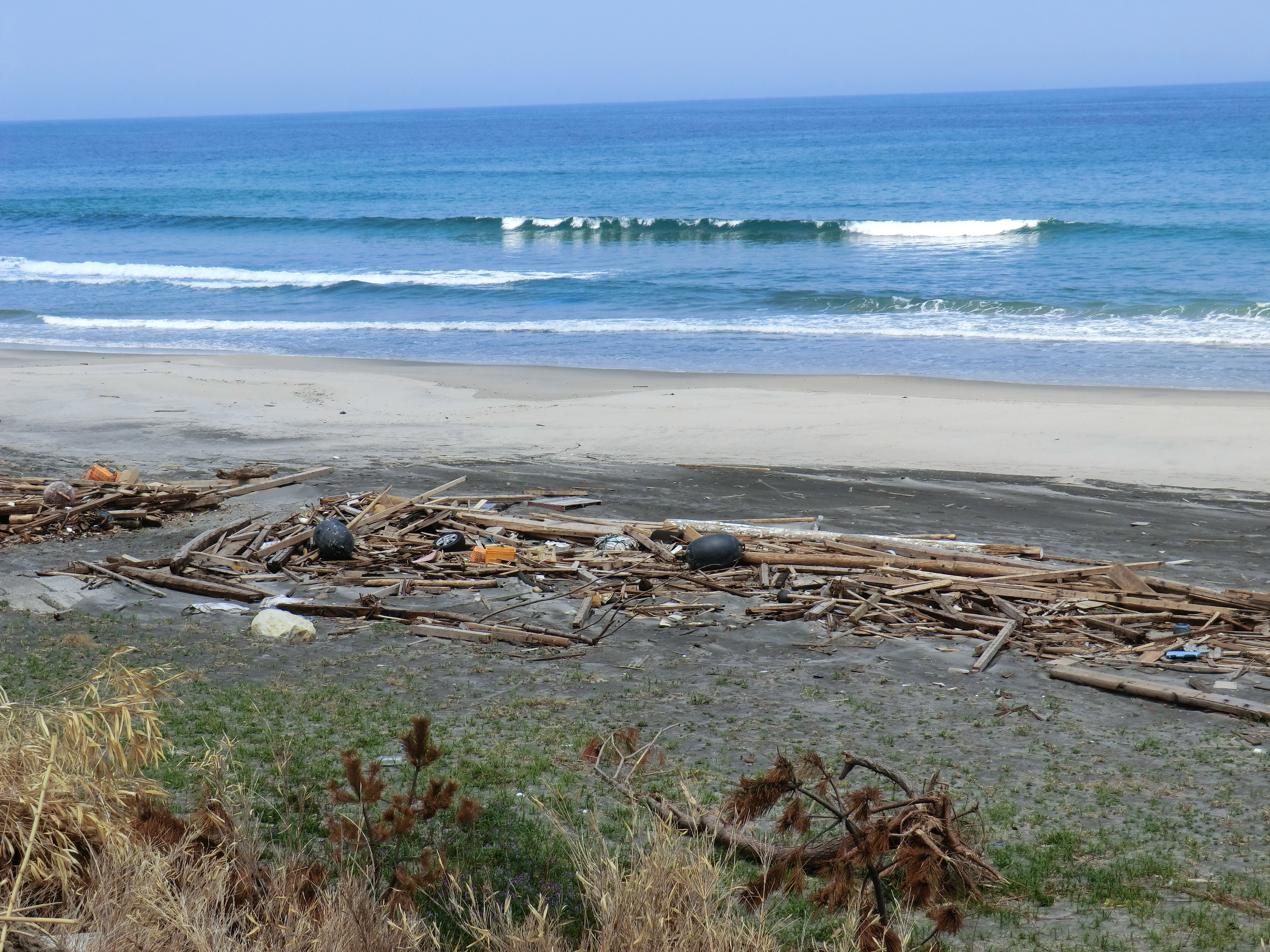
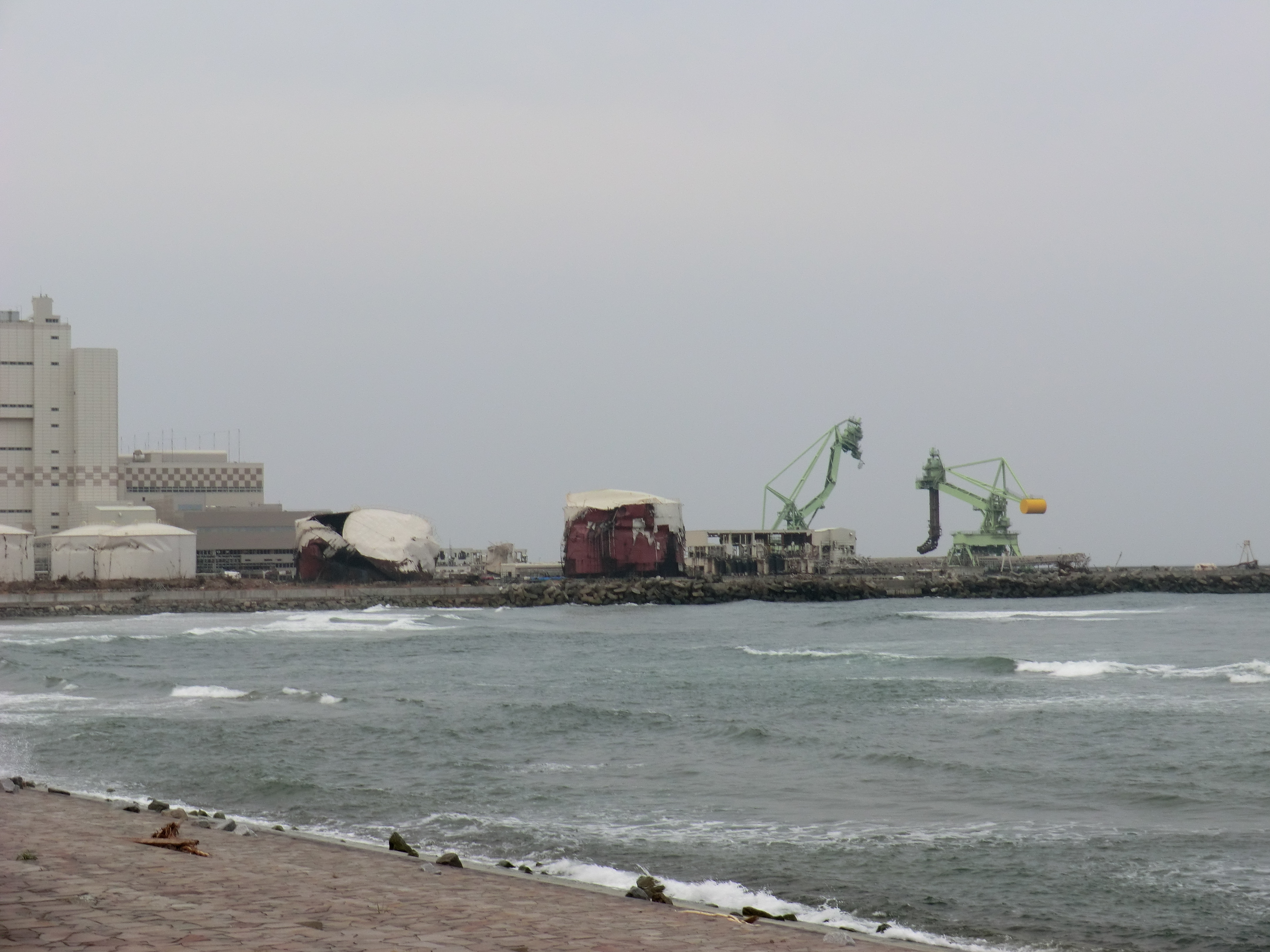
Collecting sediment samples in the vicinity of Fukushima Daiichi Nuclear Power plant
CIMG0444.JPG
CIMG0970.JPG
CIMG0420.JPG
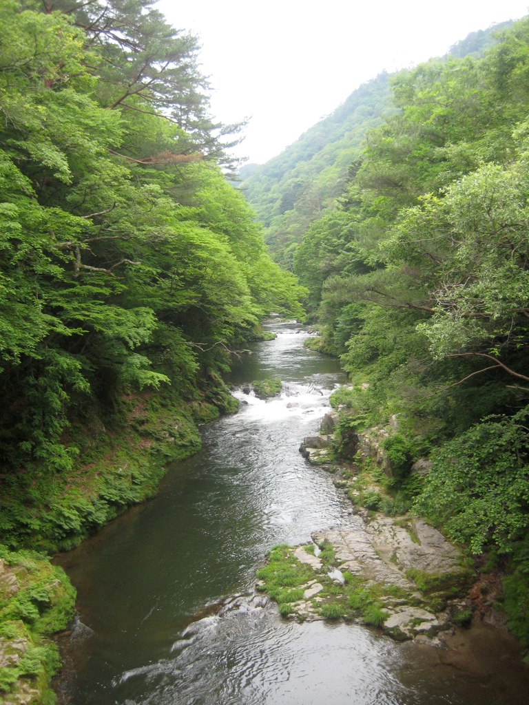
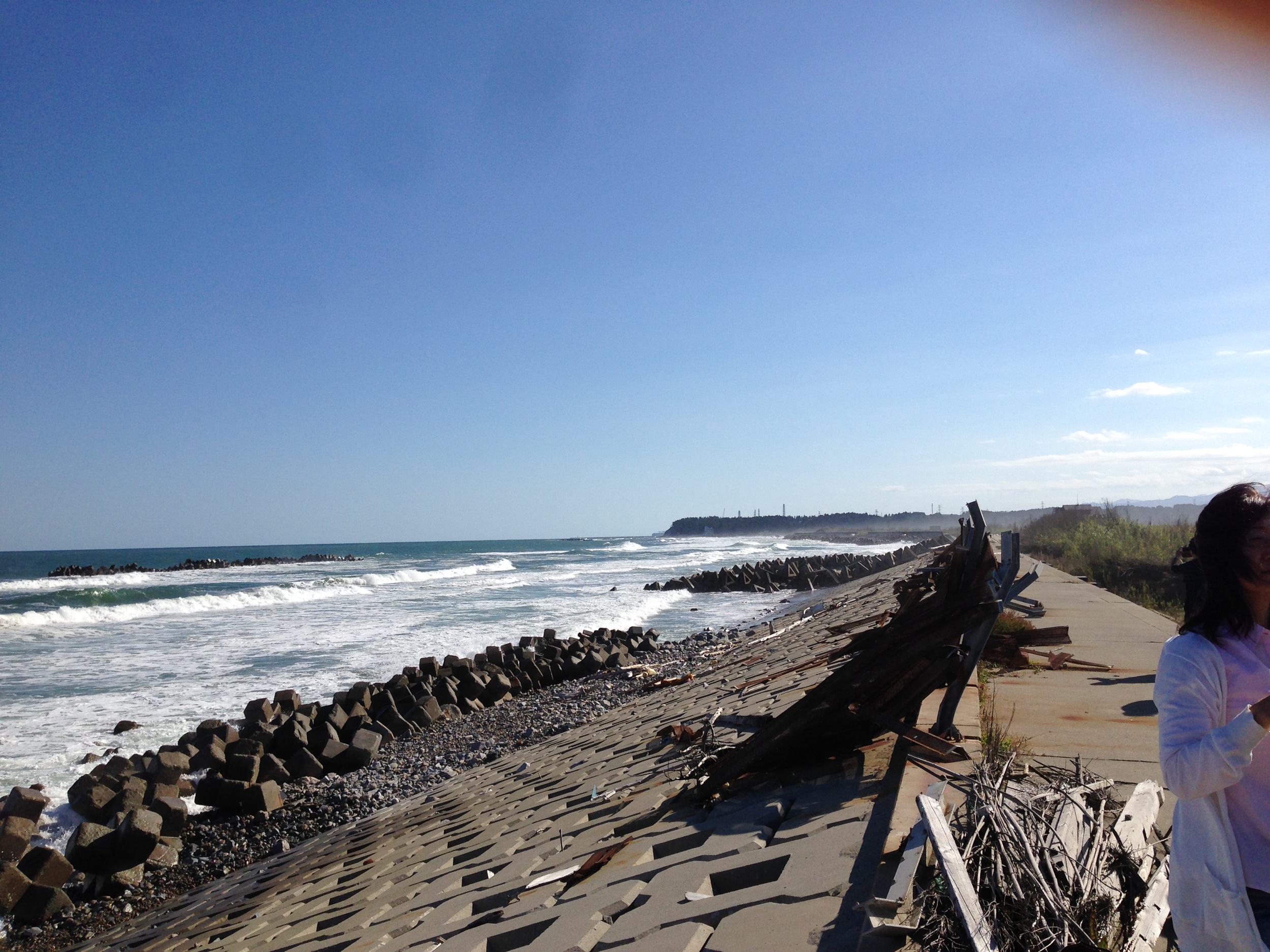
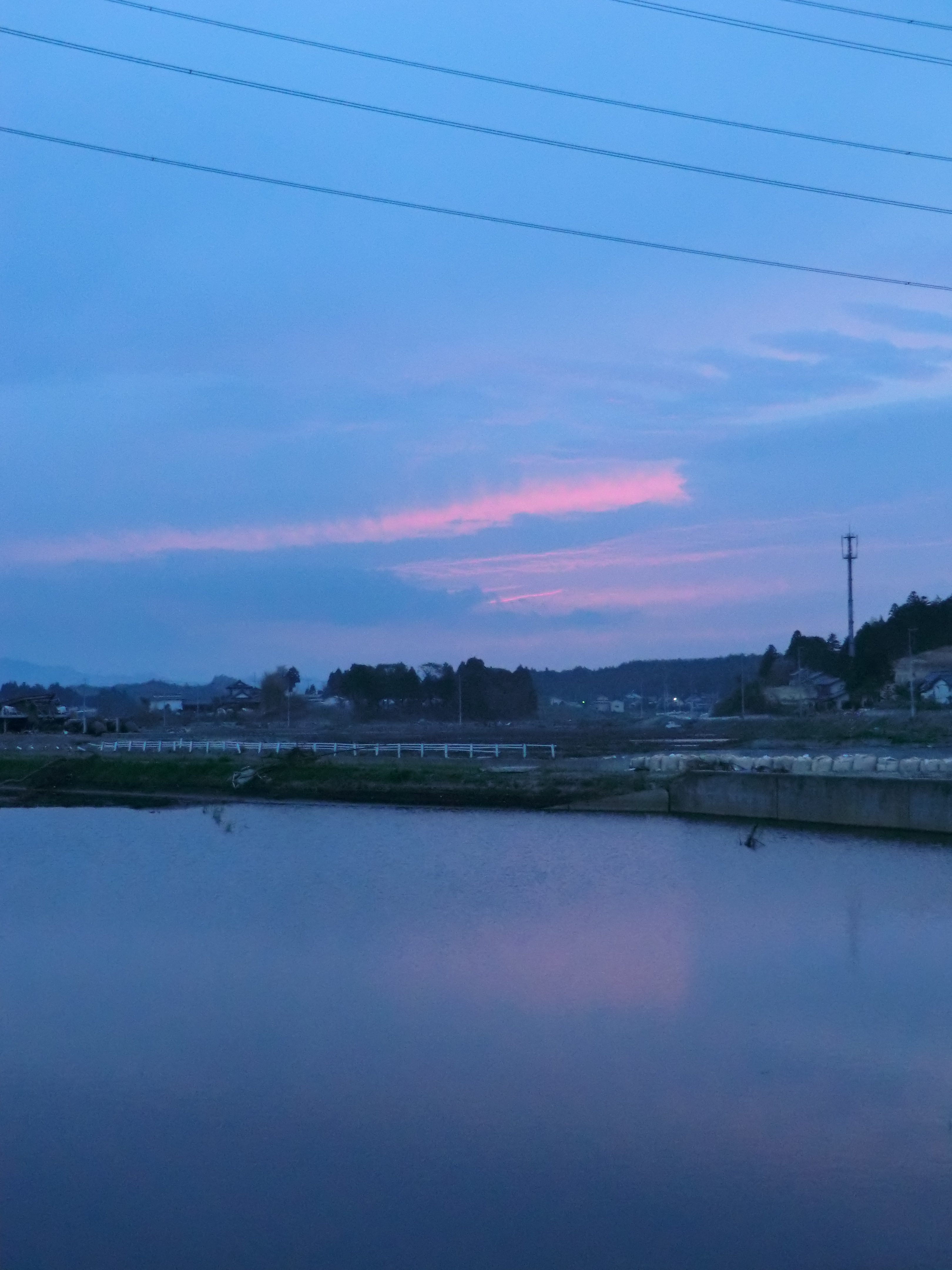
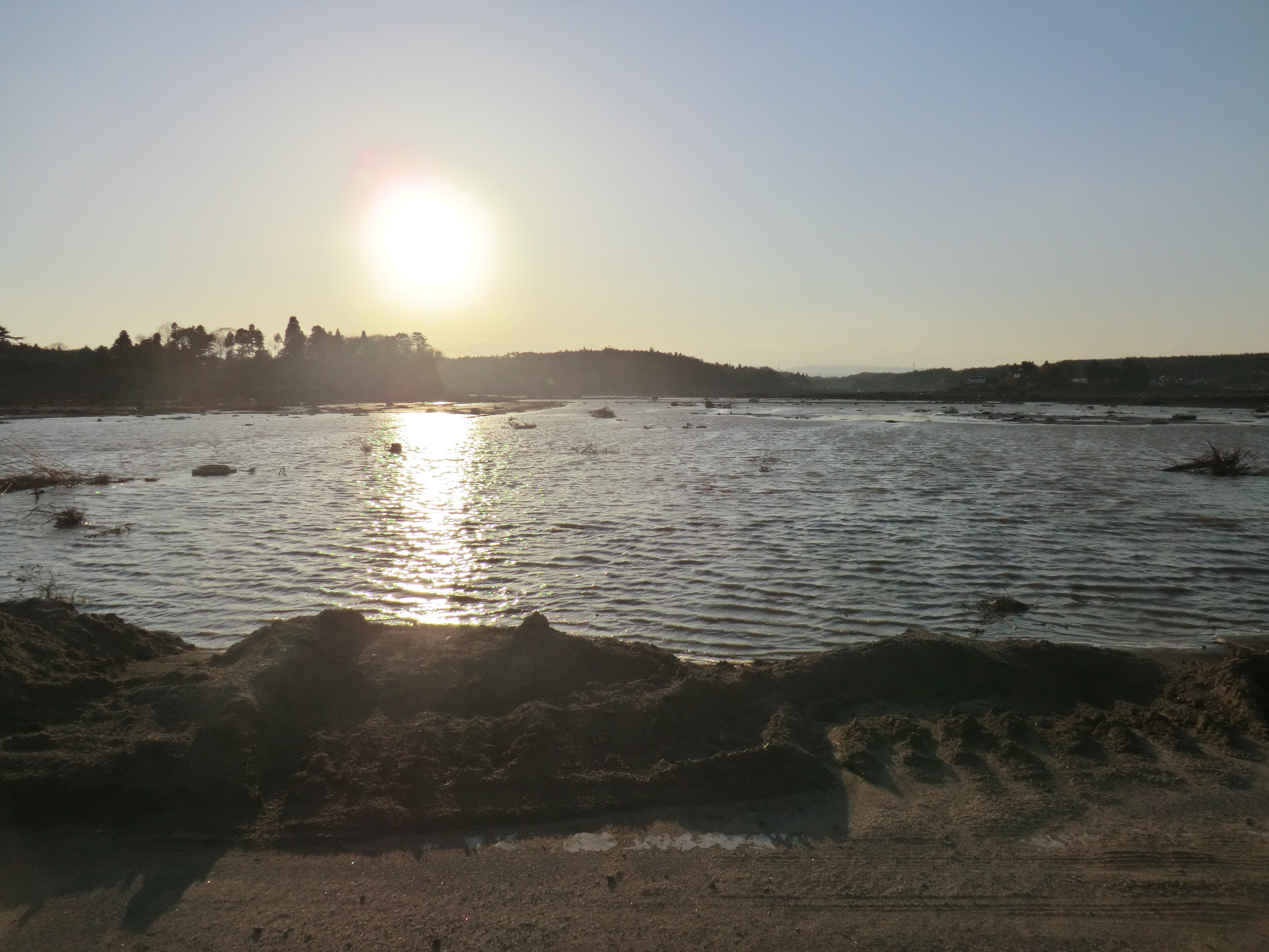
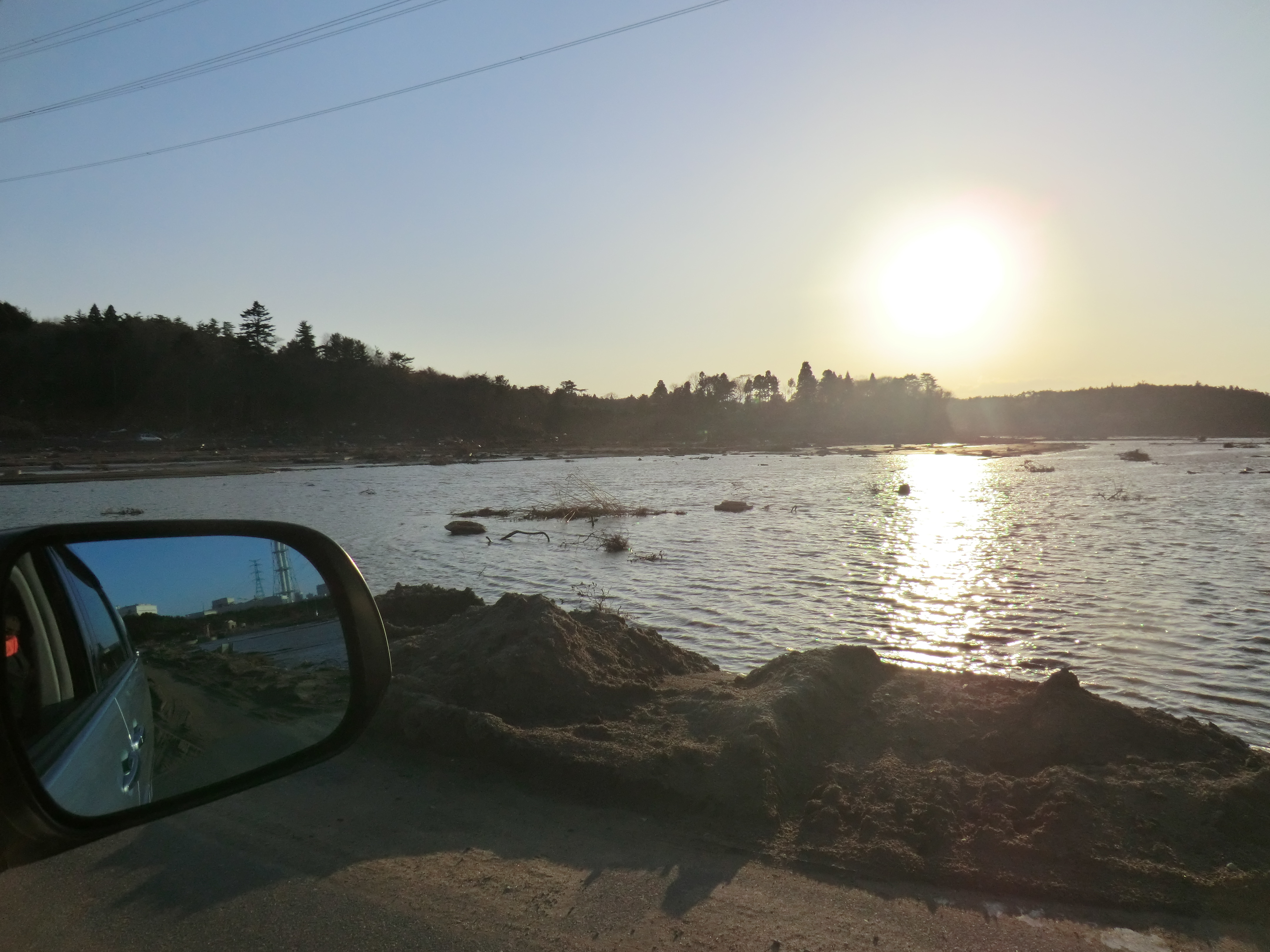
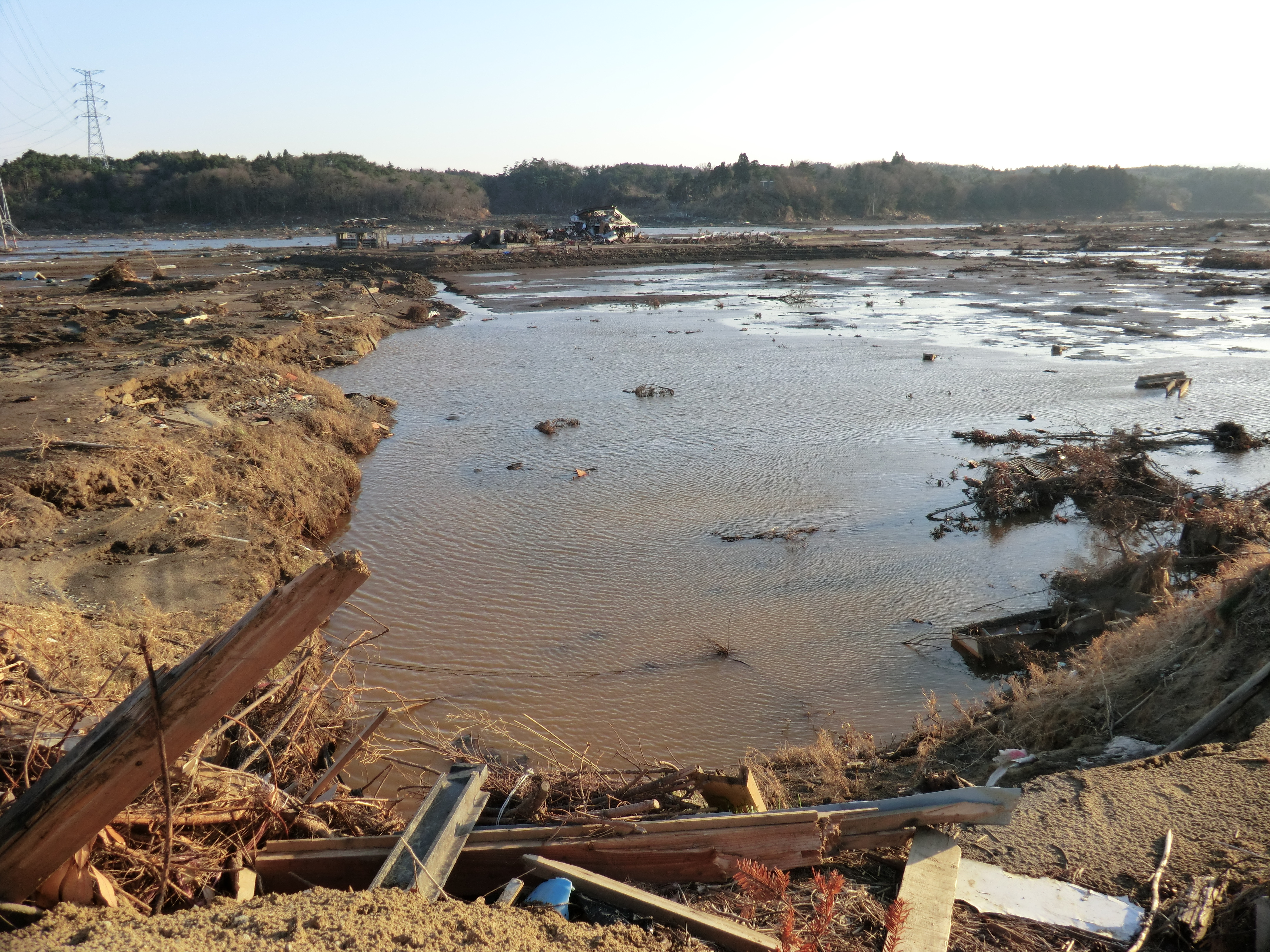
Takase River 2
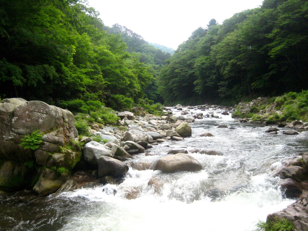
Takase River
CIMG1122.JPG

CIMG0961.JPG
CIMG1133.JPG
Topographic Map of Japan, 〒- Fukushima-ken, Minamisōma-shi, Odakaku Ōmachi, 1 Chome−12 モダンスタイル
Find elevation by address:

Places near Japan, 〒- Fukushima-ken, Minamisōma-shi, Odakaku Ōmachi, 1 Chome−12 モダンスタイル:
1 Chome-12 Odakaku Ōmachi
Numanoue-65 Odakaku Tsukabara, Minamisōma-shi, Fukushima-ken -, Japan
Nishiyachi-57 Odakaku Murakami, Minamisōma-shi, Fukushima-ken -, Japan
Buiri-54 Odakaku Ebisawa, Minamisōma-shi, Fukushima-ken -, Japan
Hara- Sakata, Namie-machi, Futaba-gun, Fukushima-ken -, Japan
Sakashita--4 Nishidai, Namie-machi, Futaba-gun, Fukushima-ken -, Japan
Kitahara-7 Kitakiyohashi, Namie-machi, Futaba-gun, Fukushima-ken -, Japan
Shibata--56 Kakura, Namie-machi, Futaba-gun, Fukushima-ken -, Japan
Nakauenohara- Kawazoe, Namie-machi, Futaba-gun, Fukushima-ken -, Japan
Namie
Minamisoma
Sakashita-66 Onoda, Namie-machi, Futaba-gun, Fukushima-ken -, Japan
Dōmae-4 Yatsuda, Namie-machi, Futaba-gun, Fukushima-ken -, Japan
Amadare-73 Ukedo, Namie-machi, Futaba-gun, Fukushima-ken -, Japan
Nishidai-15 Kōnokusa, Futaba-machi, Futaba-gun, Fukushima-ken -, Japan
Shitae-83 Shibukawa, Futaba-machi, Futaba-gun, Fukushima-ken -, Japan
Ushirohata- Ōbori, Namie-machi, Futaba-gun, Fukushima-ken -, Japan
Inarizaku- Morotake, Futaba-machi, Futaba-gun, Fukushima-ken -, Japan
Karasawa- Terasawa, Futaba-machi, Futaba-gun, Fukushima-ken -, Japan
Koeda-77 Nagatsuka, Futaba-machi, Futaba-gun, Fukushima-ken -, Japan
Recent Searches:
- Elevation of Sunset Dr, Hernando, MS, USA
- Elevation of Lake Rotoroa, Tasman, New Zealand
- Elevation of George St, New Bern, NC, USA
- Elevation of Cove Rd, Jasper, GA, USA
- Elevation of Cove Rd, Jasper, GA, USA
- Elevation of South Yankee Meadow Road, Forest Road, Paragonah, UT, USA
- Elevation of SW Elderview Dr, Sherwood, OR, USA
- Elevation of Hickory St, Greenville, NC, USA
- Elevation of Poplar Ln, Guffey, CO, USA
- Elevation of Falling Spring Rd, Clyde, NC, USA