Elevation of Humbug Summit Rd, Stirling City, CA, USA
Location: United States > California > Butte County > Stirling City >
Longitude: -121.48656
Latitude: 40.060164
Elevation: 1589m / 5213feet
Barometric Pressure: 84KPa
Elevation Map:
Satellite Map:
Related Photos:
D70-0811-003 - View
D70-0811-004 - View

D70-0811-001 - View

D70-0811-002 - View
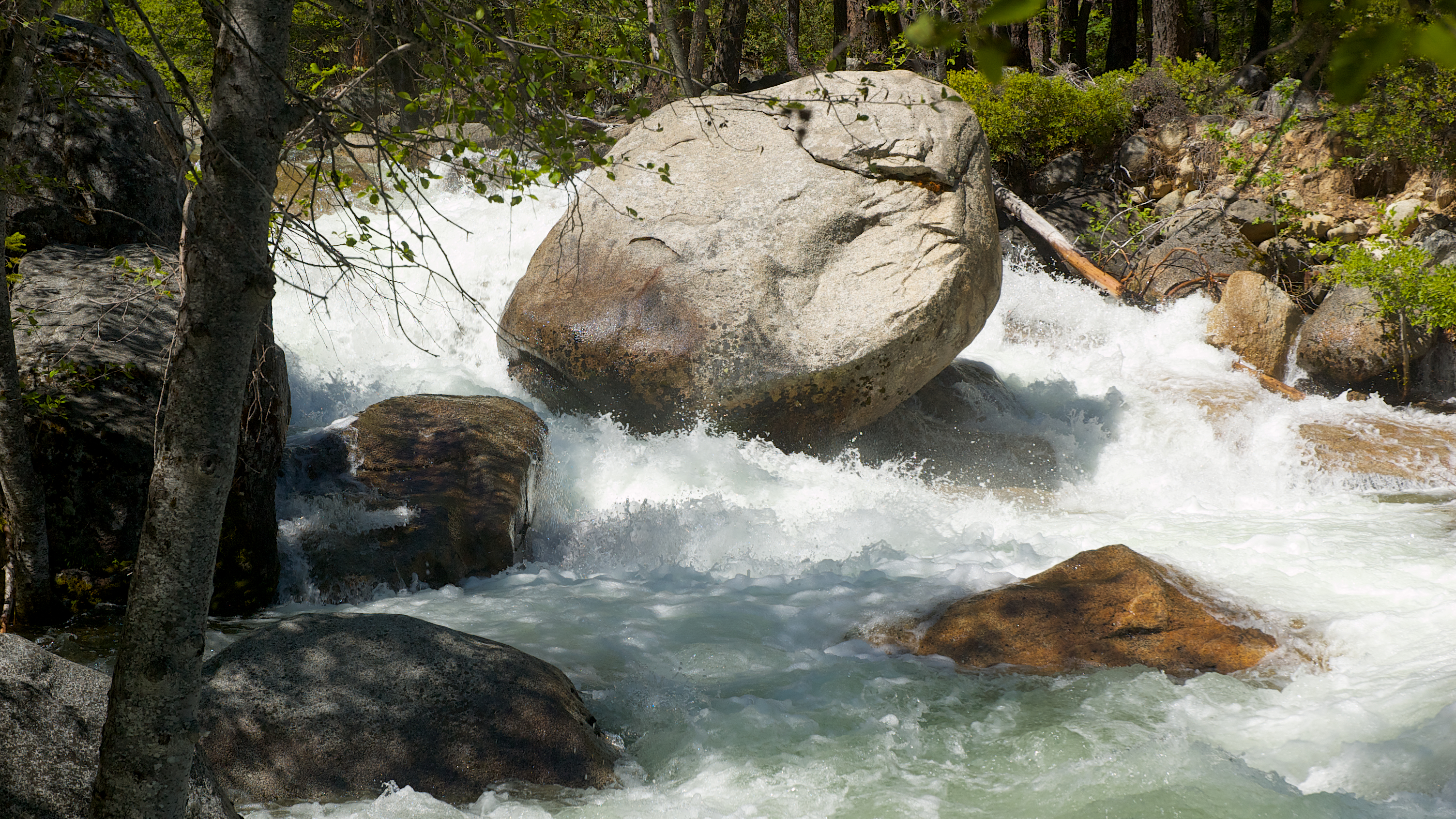
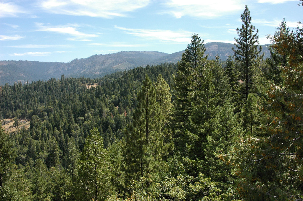
Rock Creek
Rock Creek
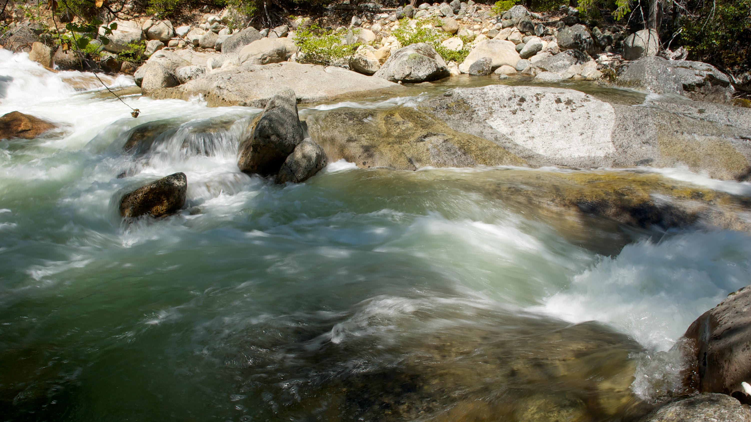
Rock Creek

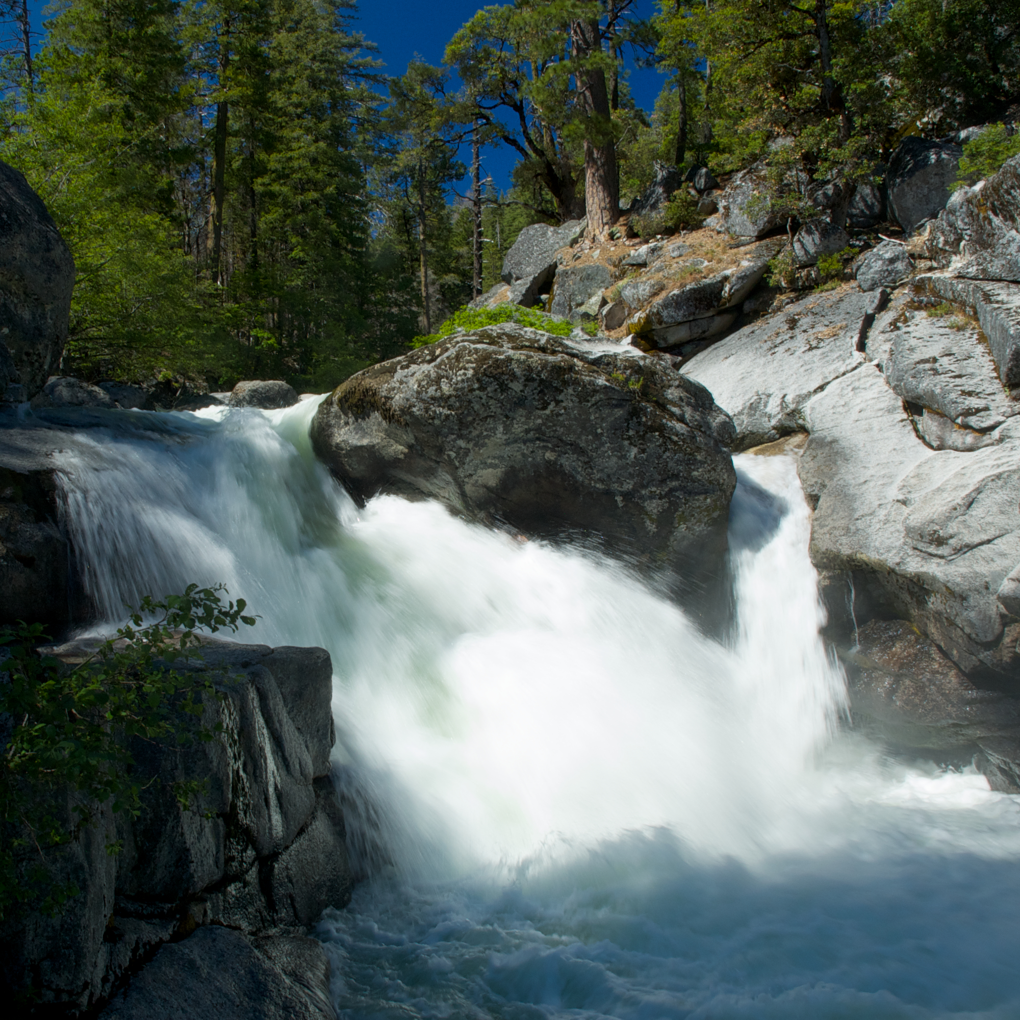
Deer Creek Falls HDR
Lotsa wata

Rock Creek

Rock Creek
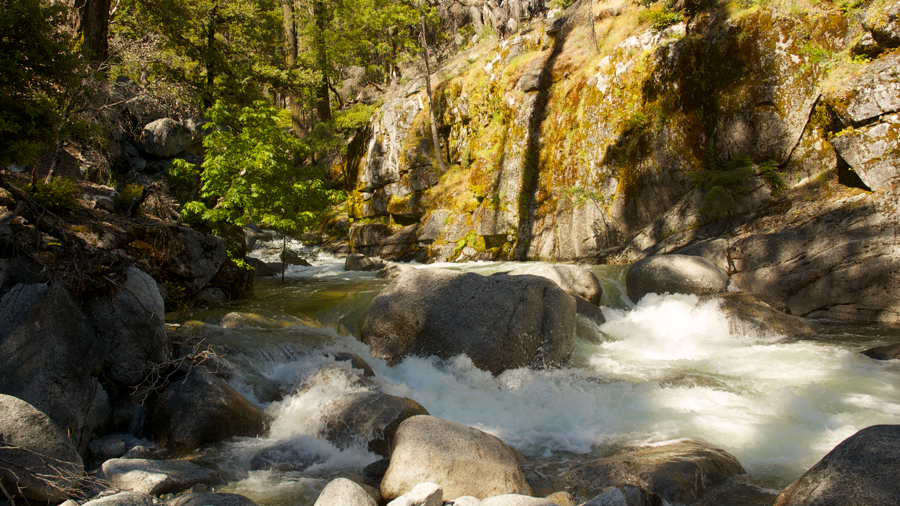
Looking Down The Shoot

Rocky River
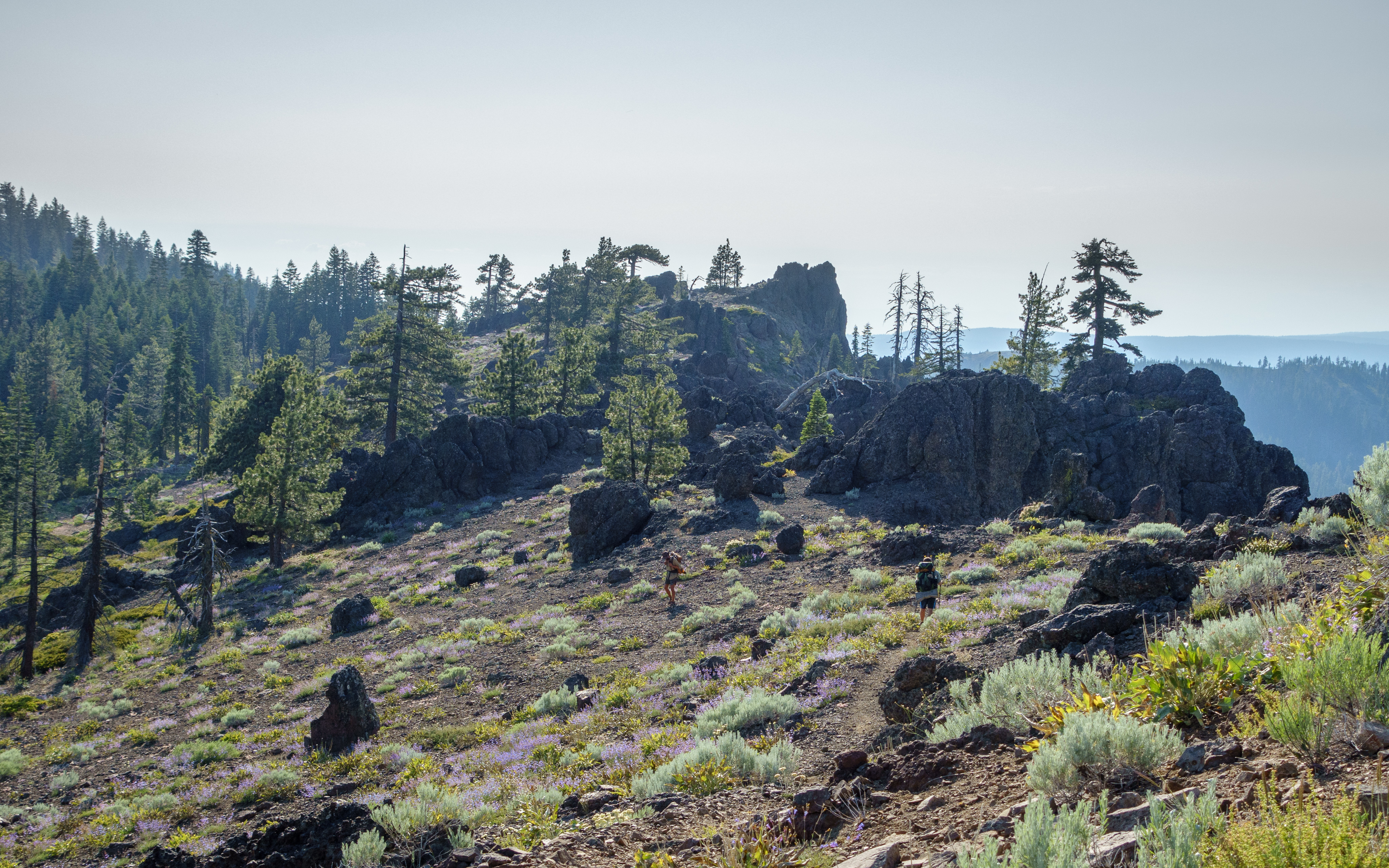
PCT from iPhone
PCT from iPhone

Lake Oroville
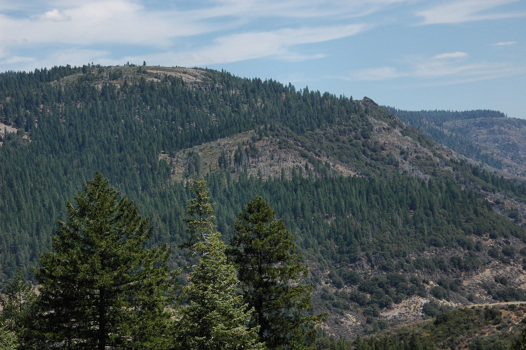
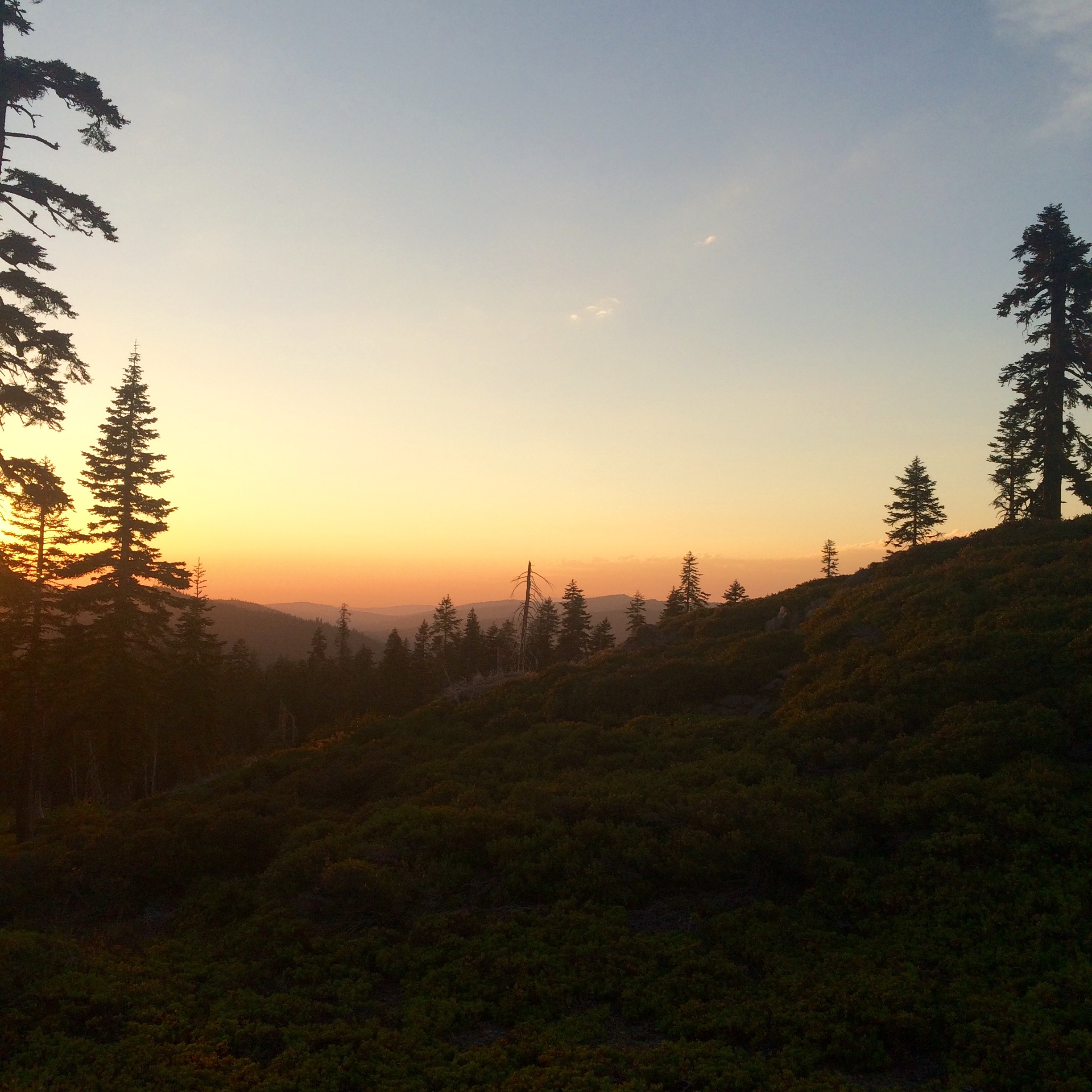
Getting volcanic near Eagle Rocks
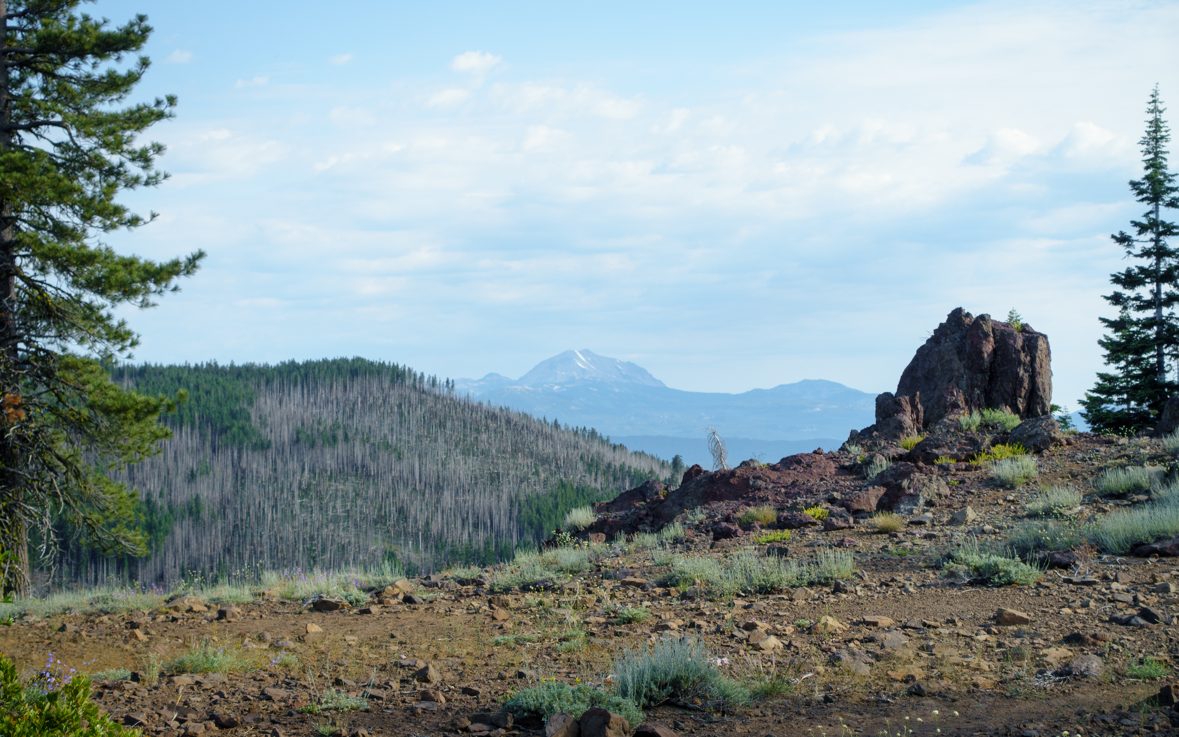
Mt Lassen from afar
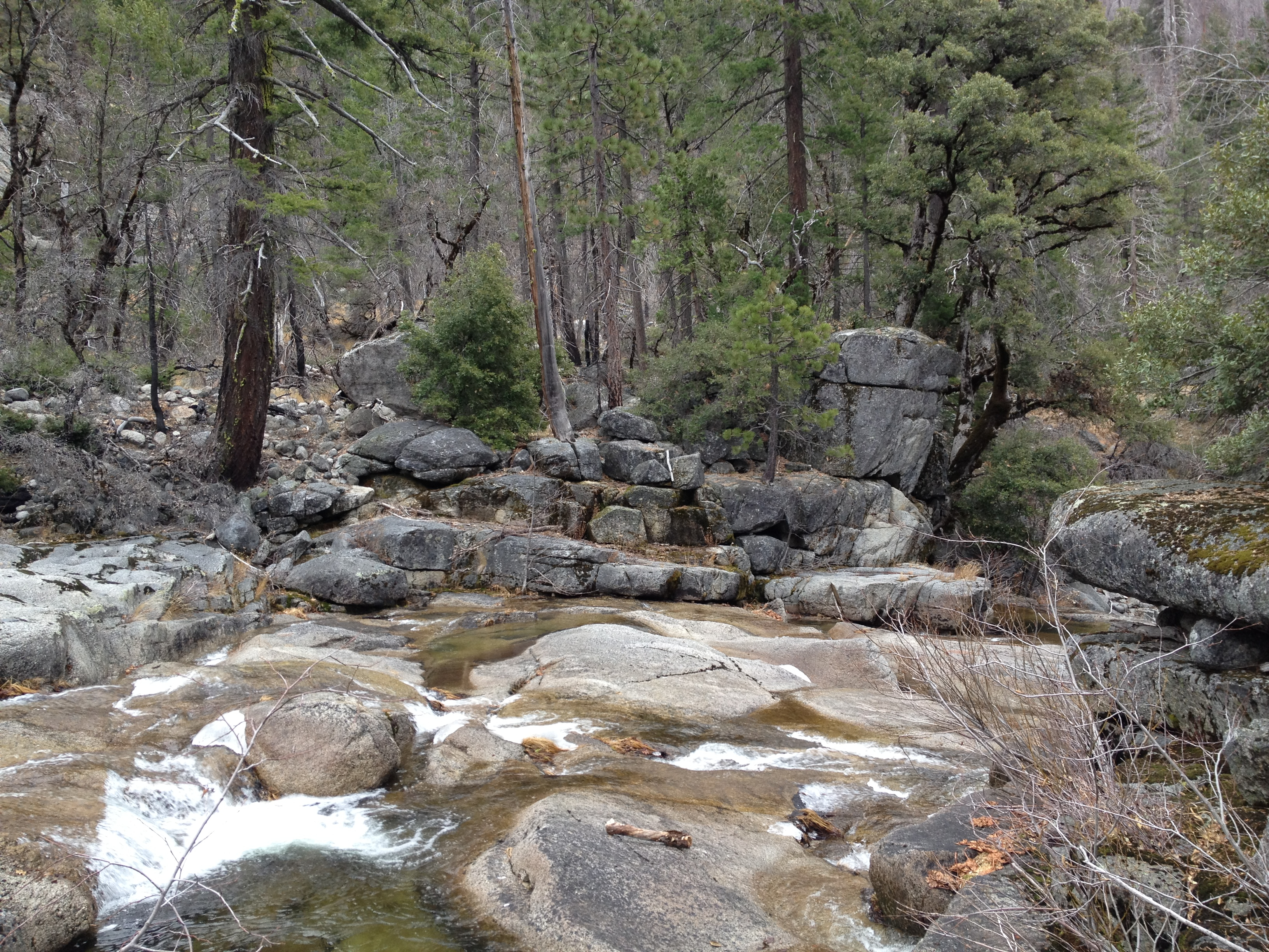
Low water Rock Creek
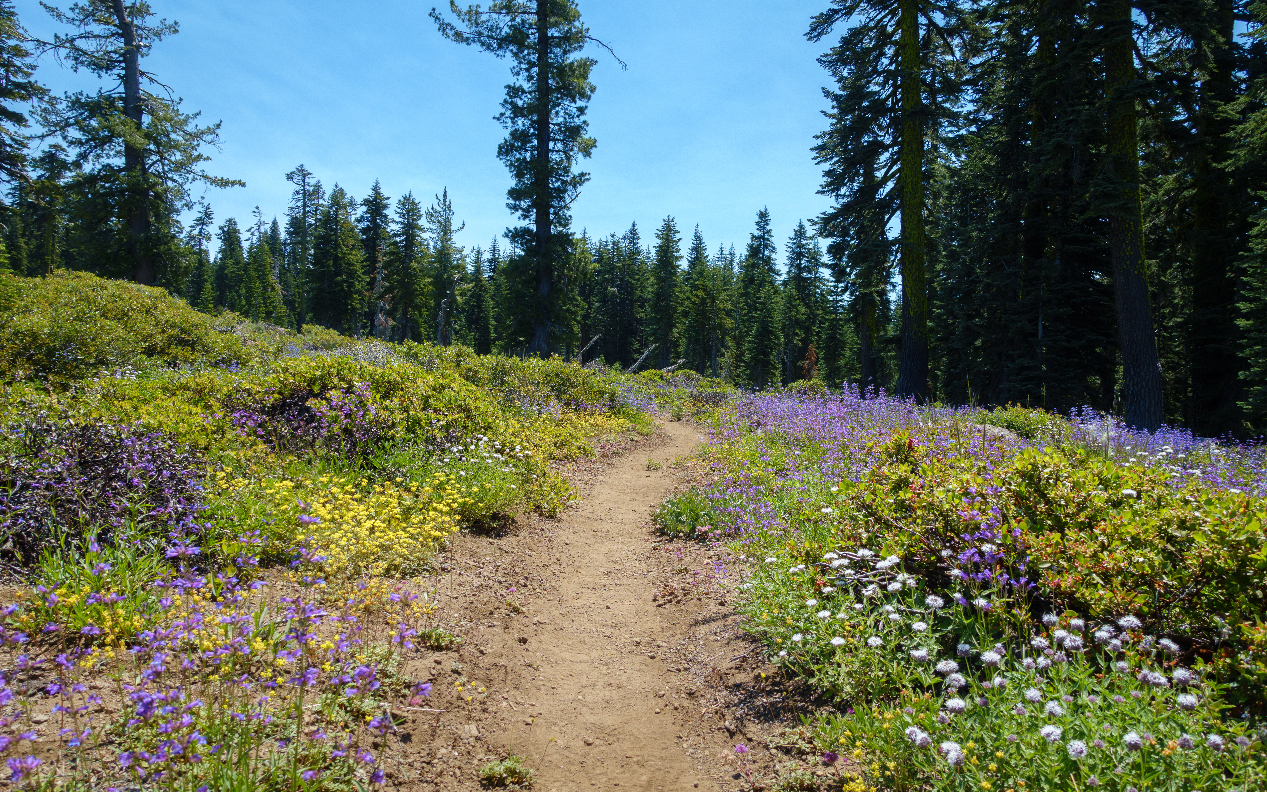
Frog Mountain flowers
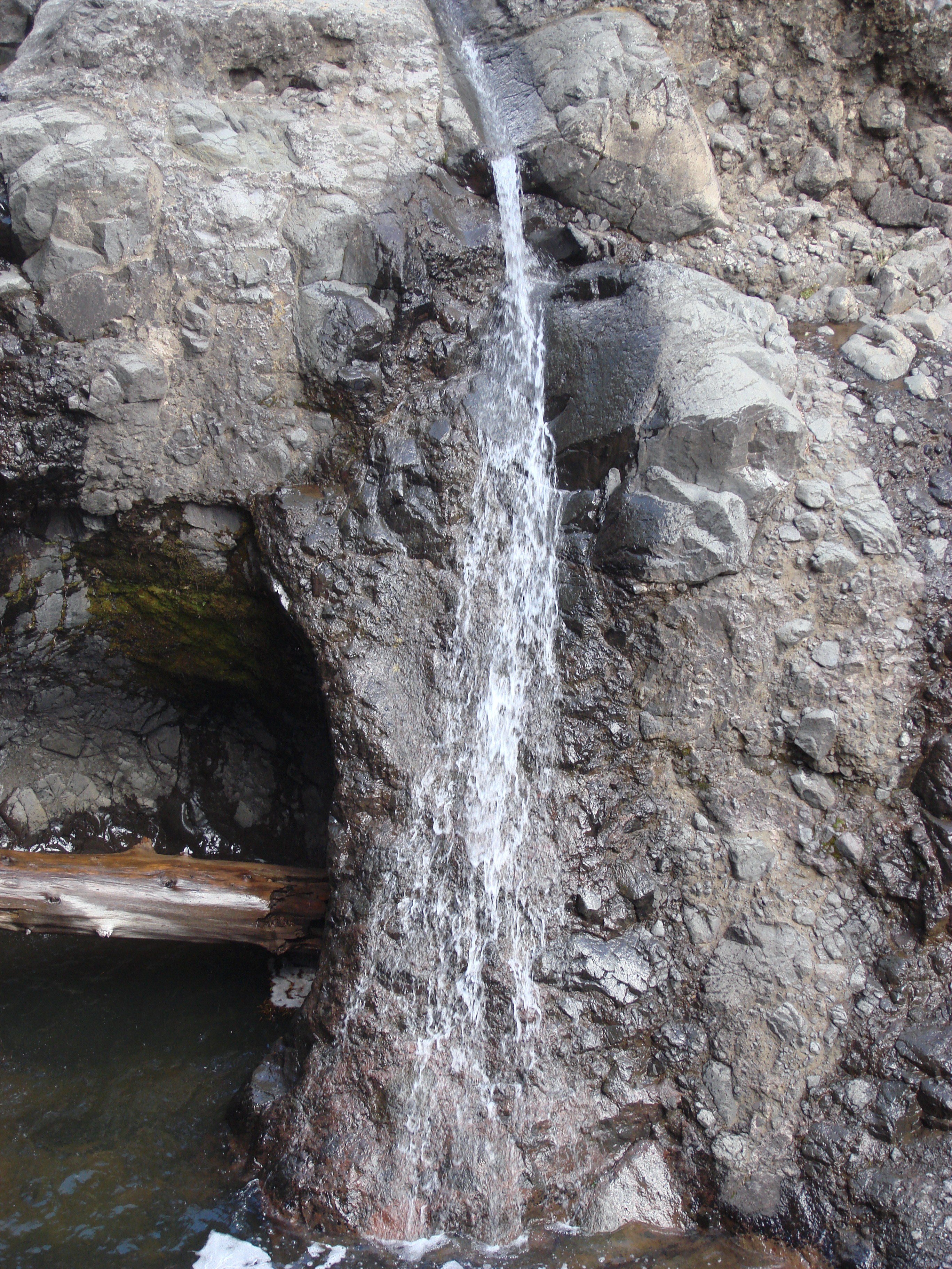
Little Waterfall
Topographic Map of Humbug Summit Rd, Stirling City, CA, USA
Find elevation by address:

Places near Humbug Summit Rd, Stirling City, CA, USA:
Philbrook Lake Campground
Bambi Inn
Humboldt Rd, Butte Meadows, CA, USA
Butte Meadows
Inskip
Stirling City
7877 Granite St
Lovelock Rd, Magalia, CA, USA
Butt Mountain
Lovelock
Coutolenc Rd, Magalia, CA, USA
California 32
15939 Skyway
15750 Coutolenc Rd
15750 Coutolenc Rd
5677 Royal Driftway
6671 Hupp Coutolenc Rd
6616 Hupp Coutolenc Rd
CA-70, Storrie, CA, USA
15251 Crystal Mountain Rd
Recent Searches:
- Elevation of Pinewood Dr, New Bern, NC, USA
- Elevation of Mountain View, CA, USA
- Elevation of Foligno, Province of Perugia, Italy
- Elevation of Blauwestad, Netherlands
- Elevation of Bella Terra Blvd, Estero, FL, USA
- Elevation of Estates Loop, Priest River, ID, USA
- Elevation of Woodland Oak Pl, Thousand Oaks, CA, USA
- Elevation of Brownsdale Rd, Renfrew, PA, USA
- Elevation of Corcoran Ln, Suffolk, VA, USA
- Elevation of Mamala II, Sariaya, Quezon, Philippines