Elevation of Coutolenc Rd, Magalia, CA, USA
Location: United States > California > Butte County > Magalia >
Longitude: -121.57790
Latitude: 39.890651
Elevation: 958m / 3143feet
Barometric Pressure: 90KPa
Elevation Map:
Satellite Map:
Related Photos:

02•52 • dog nose
O'B (6)
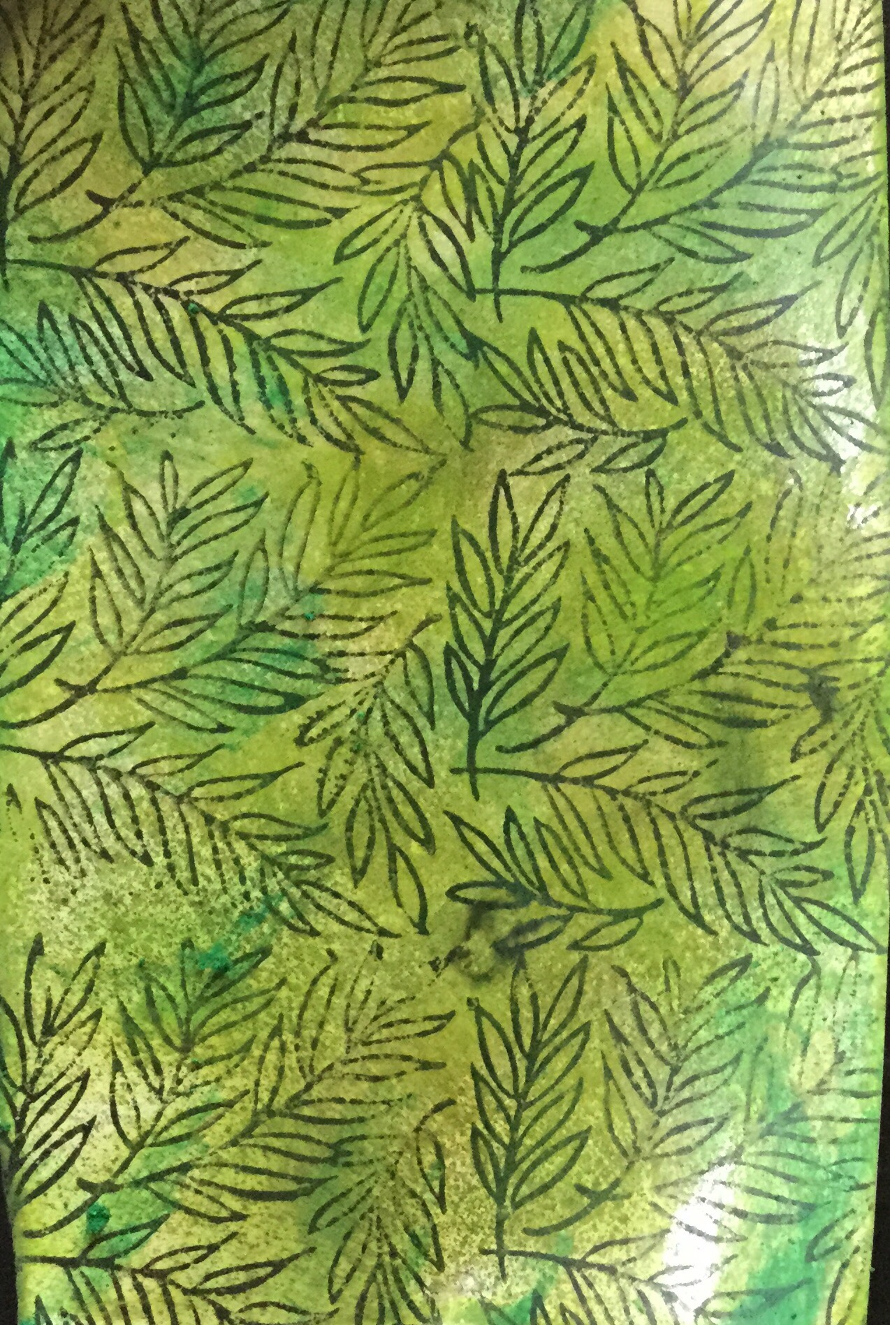
Gold and green
View from Old Magalia

diet coke and mentos

obey the earth
June 12, 2008

spider webs of squirrels

Christmas Nova Explosion in D Major

Bridge Over the Feather River

Christmas Nova Explosion in D Minor

_7140008.NEF
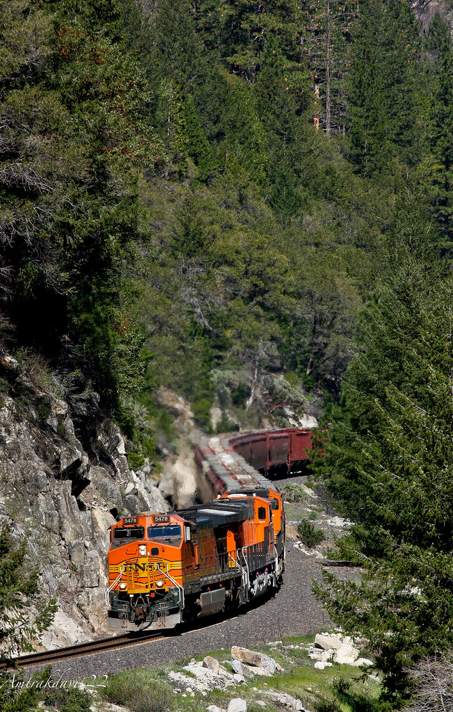
BNSF Grain Train at Cresta S-Curve
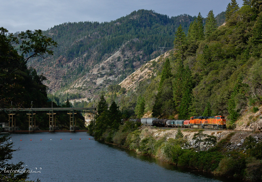
BNSF Manifest Passing Poe Power Dam

Death Points the Way
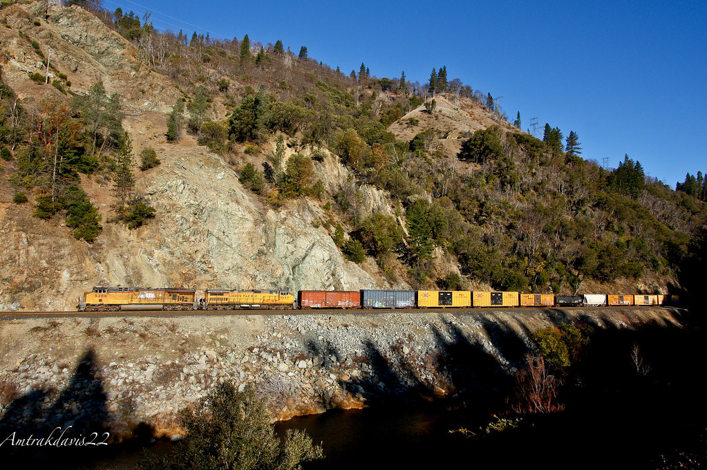
Union Pacific Manifest Along the Rocks at Pulga
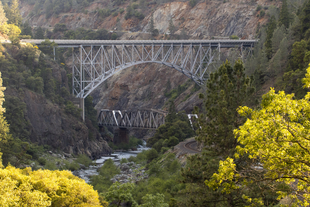
Hwy 70 North Fork Feather River Bridge (Built 1932), Pulga, CA
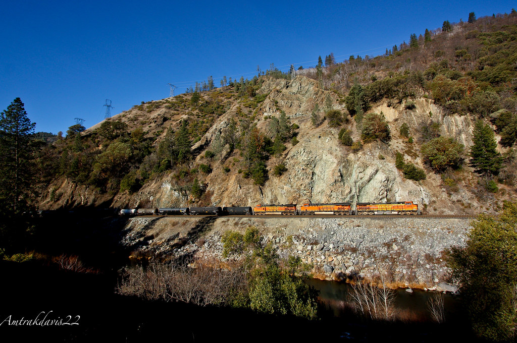
BNSF Railway Tackles the Feather River Canyon
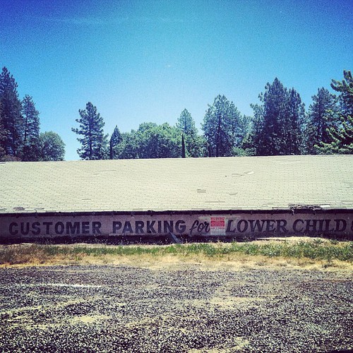
lower child?
Death Points the Way

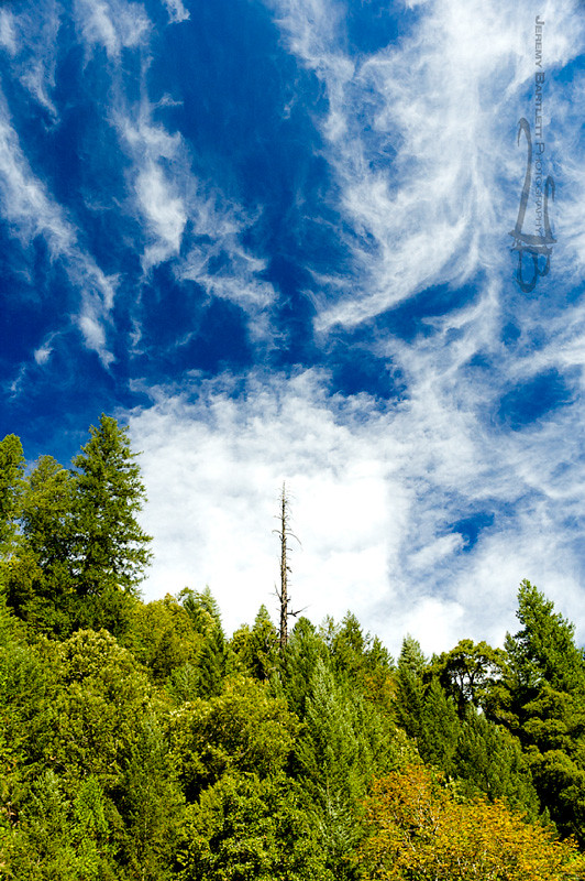
Morning Clouds
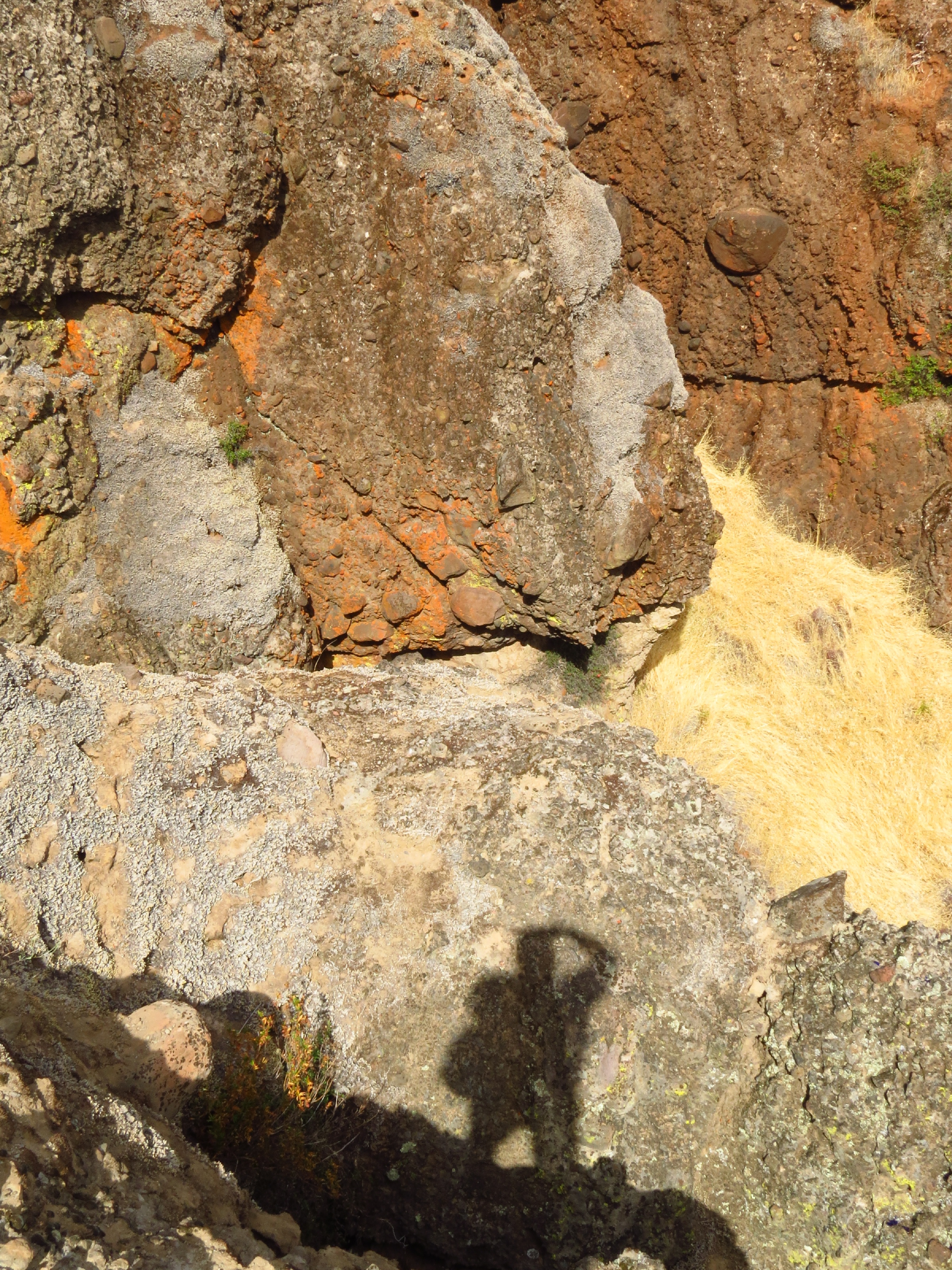
photographers shadow 2fer

_8010160.NEF
Dancing Trees

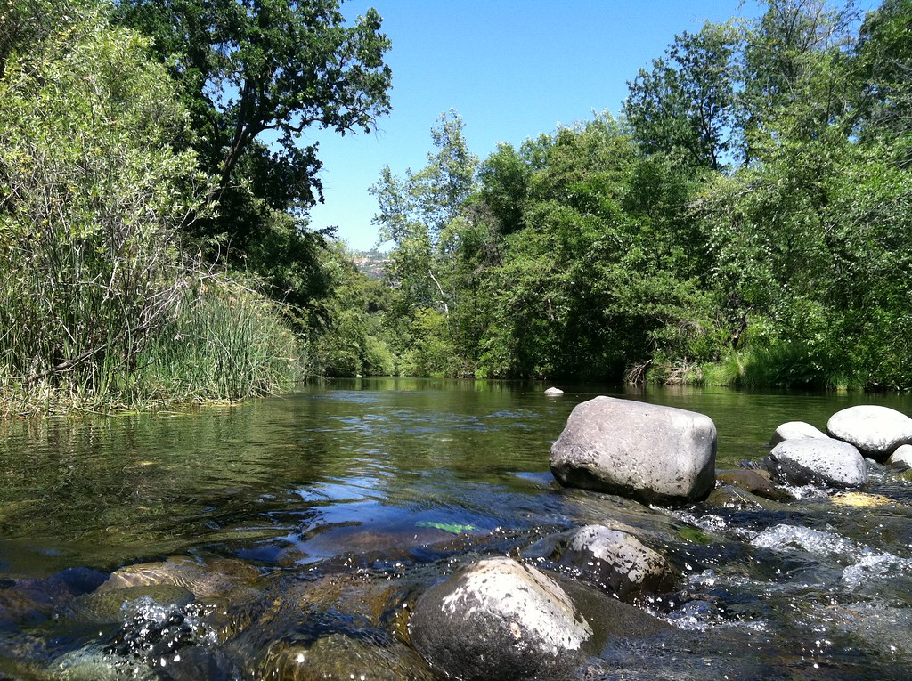
Emerald Waters
Near Honey Run Bridge
Not bad for a phone.
opening ceremony
Soot stamping
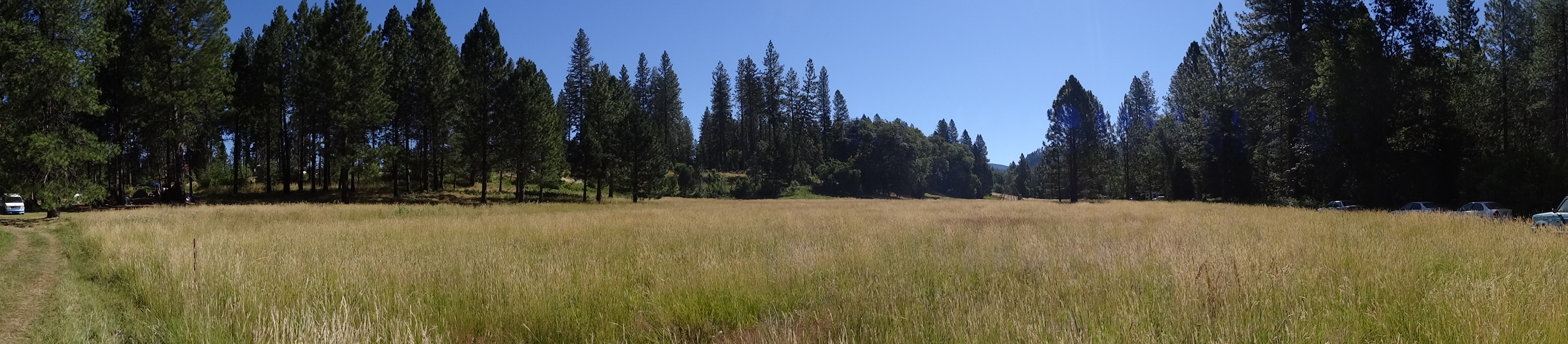
the meadow
Big Chico Creek

Kimshew Falls
Topographic Map of Coutolenc Rd, Magalia, CA, USA
Find elevation by address:

Places near Coutolenc Rd, Magalia, CA, USA:
Lovelock
15750 Coutolenc Rd
15750 Coutolenc Rd
15939 Skyway
6671 Hupp Coutolenc Rd
6616 Hupp Coutolenc Rd
15251 Crystal Mountain Rd
6350 Rambling Way
Rambling Way
Paradise Lake
De Sabla
Torey Pine Road
7112 Cedar Pines Trail
15057 Torey Pine Rd
6697 Echo Glen Ln
6270 Columbine Rd
14863 Upland Rd
14842 Wood Dr
14813 Wildlife Dr
6392 Imperial Way
Recent Searches:
- Elevation of Corso Fratelli Cairoli, 35, Macerata MC, Italy
- Elevation of Tallevast Rd, Sarasota, FL, USA
- Elevation of 4th St E, Sonoma, CA, USA
- Elevation of Black Hollow Rd, Pennsdale, PA, USA
- Elevation of Oakland Ave, Williamsport, PA, USA
- Elevation of Pedrógão Grande, Portugal
- Elevation of Klee Dr, Martinsburg, WV, USA
- Elevation of Via Roma, Pieranica CR, Italy
- Elevation of Tavkvetili Mountain, Georgia
- Elevation of Hartfords Bluff Cir, Mt Pleasant, SC, USA