Elevation of California 32, CA-32, California, USA
Location: United States > California > Butte County > Forest Ranch >
Longitude: -121.64981
Latitude: 39.9544691
Elevation: 1013m / 3323feet
Barometric Pressure: 90KPa
Elevation Map:
Satellite Map:
Related Photos:
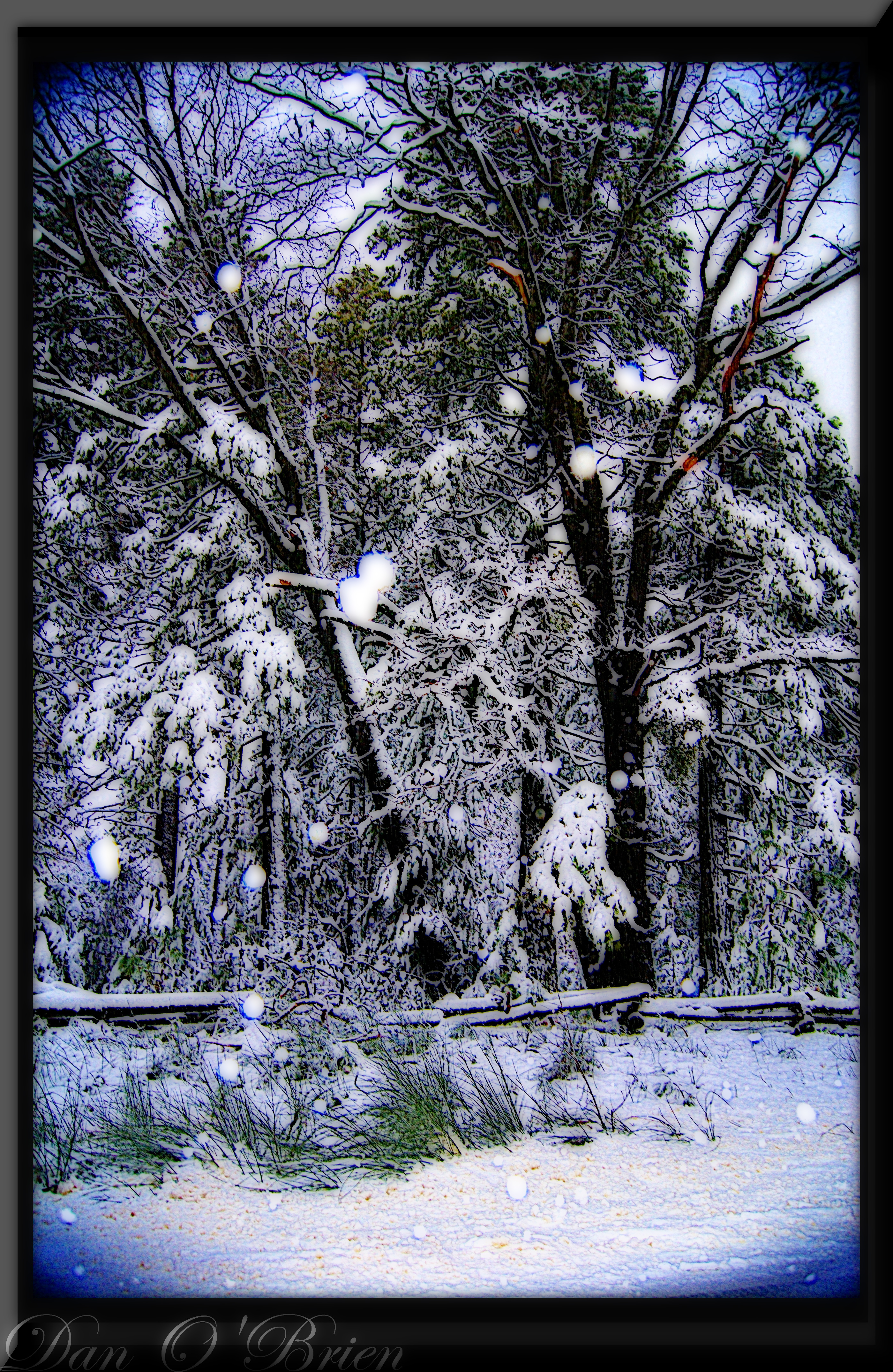
O'B (6)
Death Points the Way

_8010160.NEF

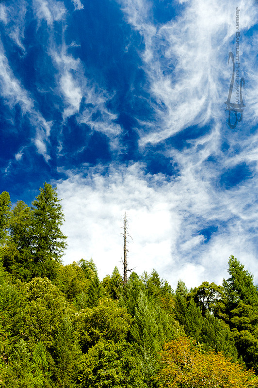
Morning Clouds

Emerald Waters
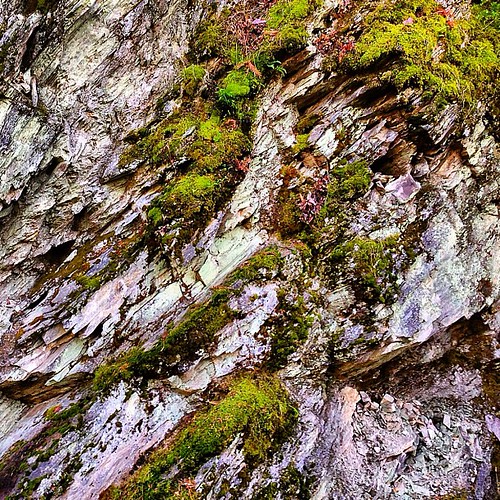
Rock and Moss
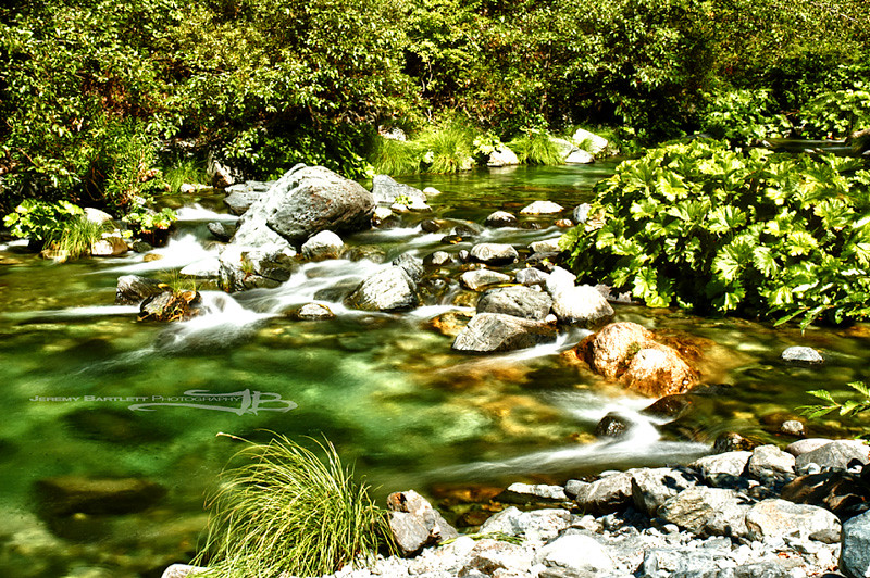
Emerald Waters

_7140008.NEF
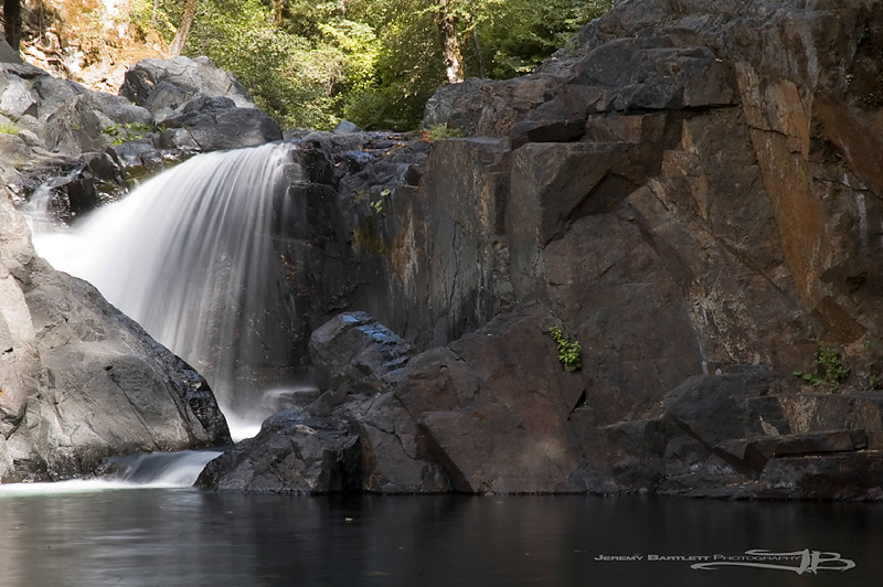
Kimshew Falls
2018-12-25_09-54-47
2018-08-05_09-21-53
2018-08-05_09-20-38
2018-08-04_09-07-09
2018-08-04_06-12-04

Californie, Butte County - Stirling City - 1983

Californie, Butte County - Stirling City - 1983 (2)
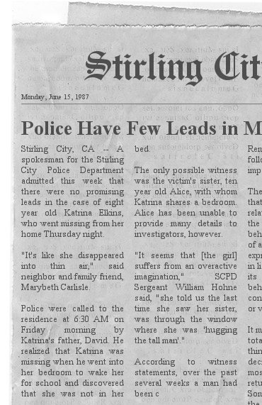
Californie, Butte County - Stirling City - 1987
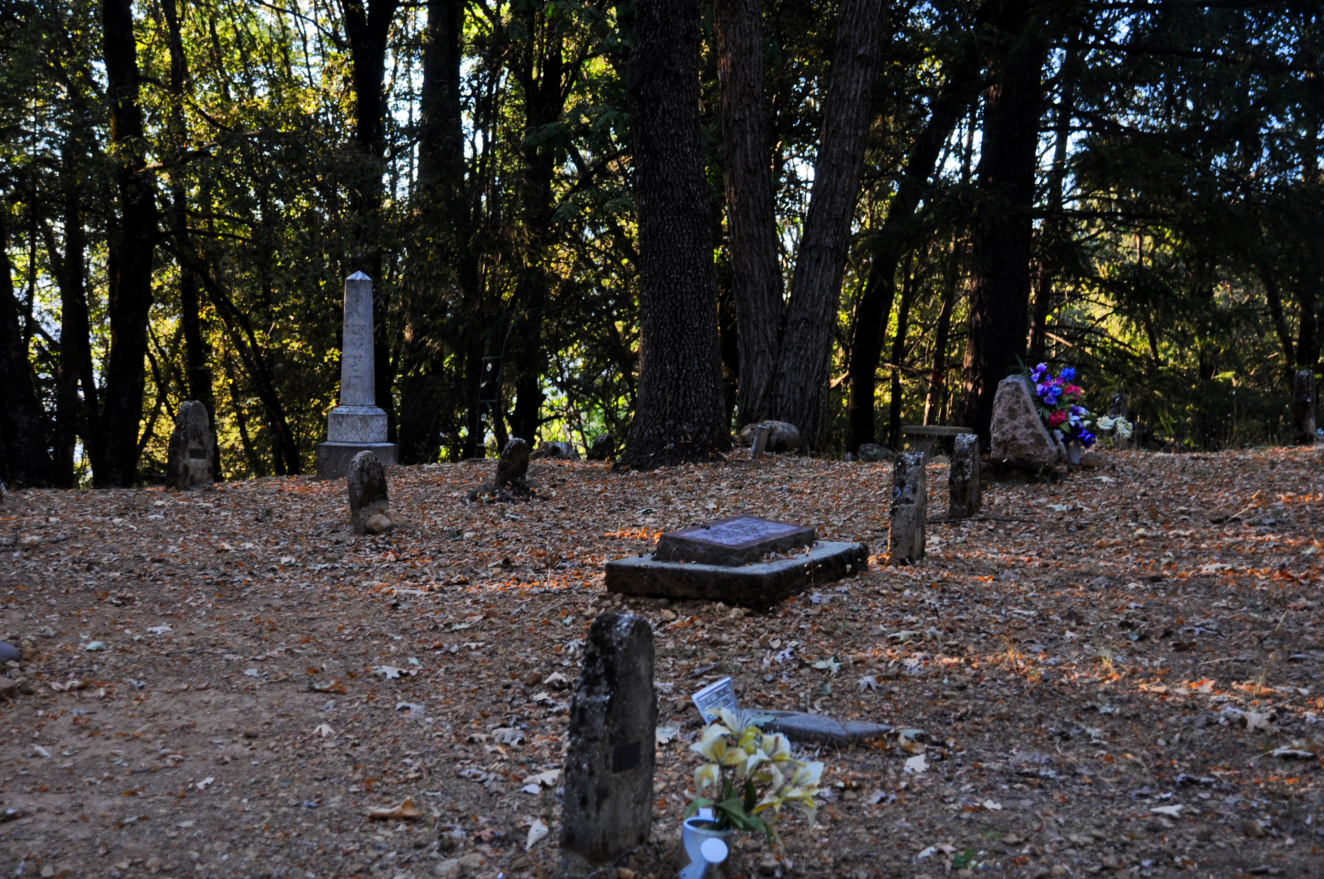
Forest Ranch Cemetery
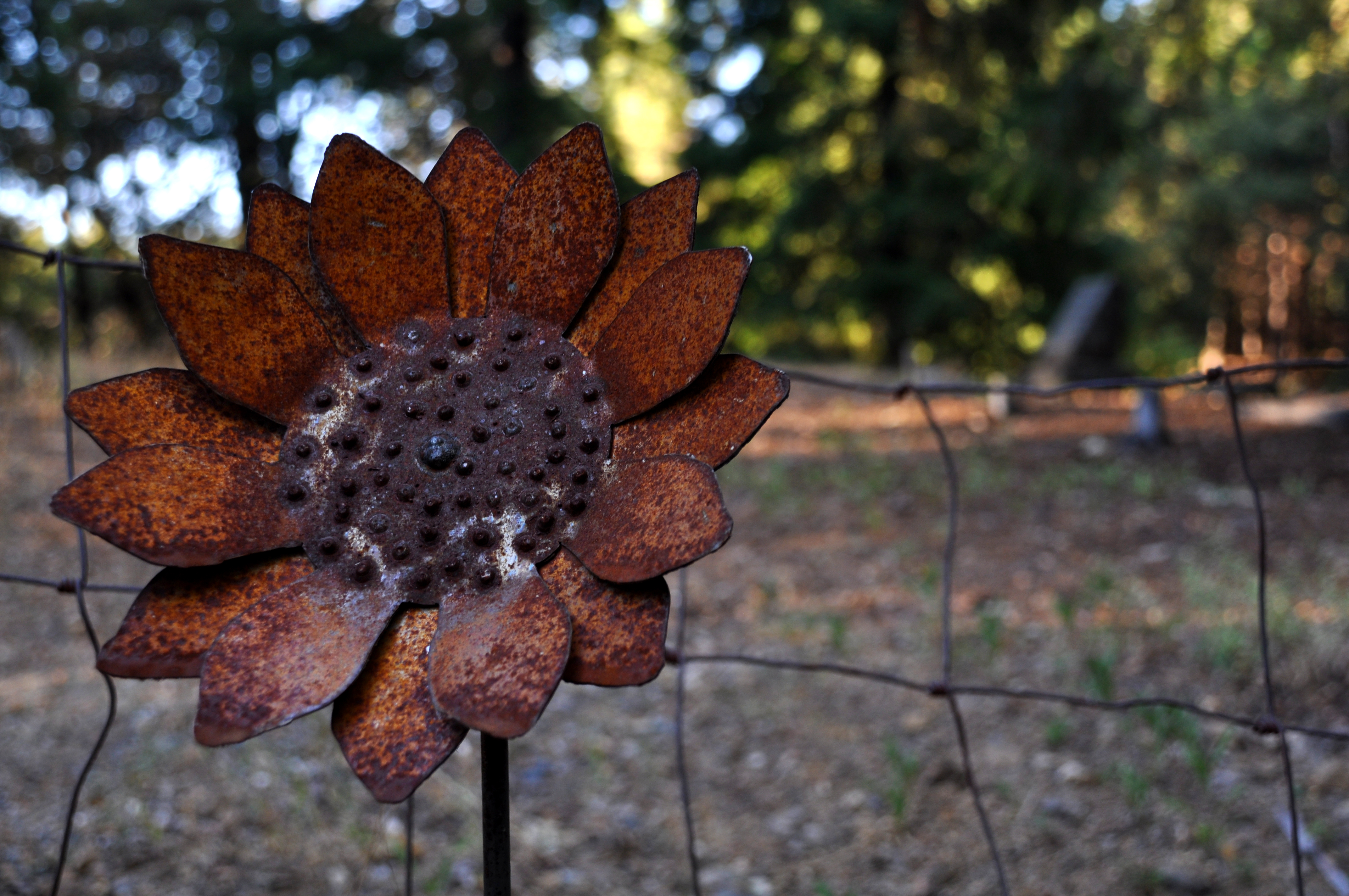
Rusty Sunflower, Forest Ranch Cemetery 2
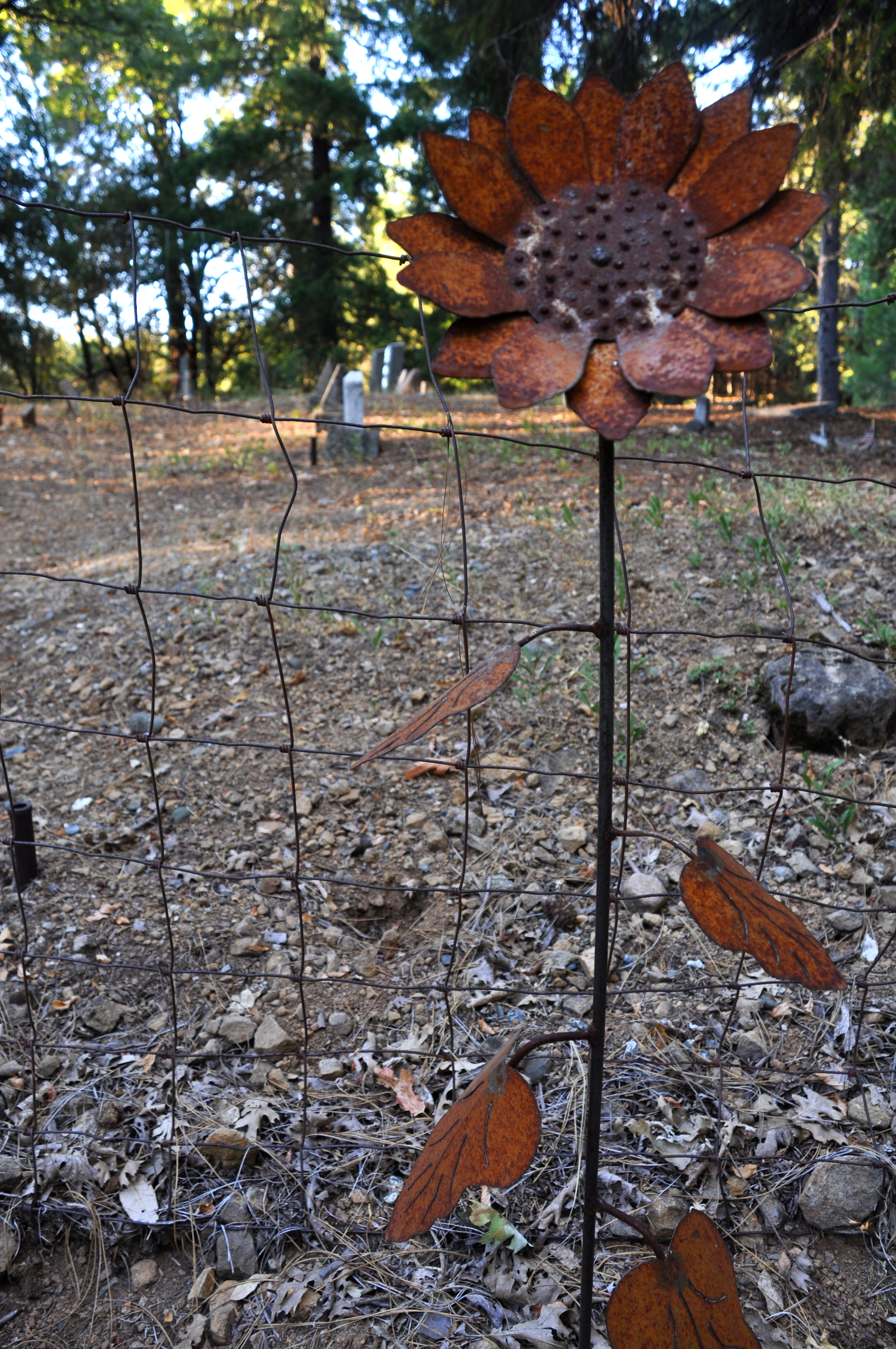
Rusty Sunflower, Forest Ranch Cemetery 1

Propaganda Chair

#mythrowbackthursdayiswaylate #ohwell #tbm #highschooldays #twothousandandeight #partyatmypad #boyswillbeboys #andthentheresashleigh #boss #turndownforwhaat #thosewerethedays #unforgettablememories #rollinballslikewhaat #tanner #devin #josh #joey #brobro
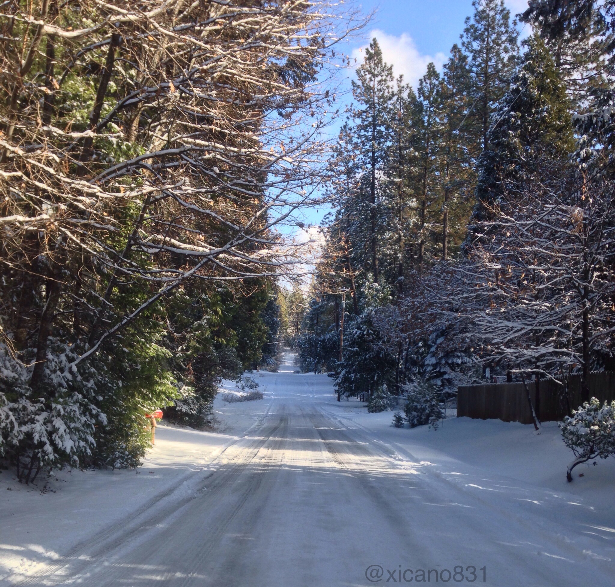
Magalia,ca

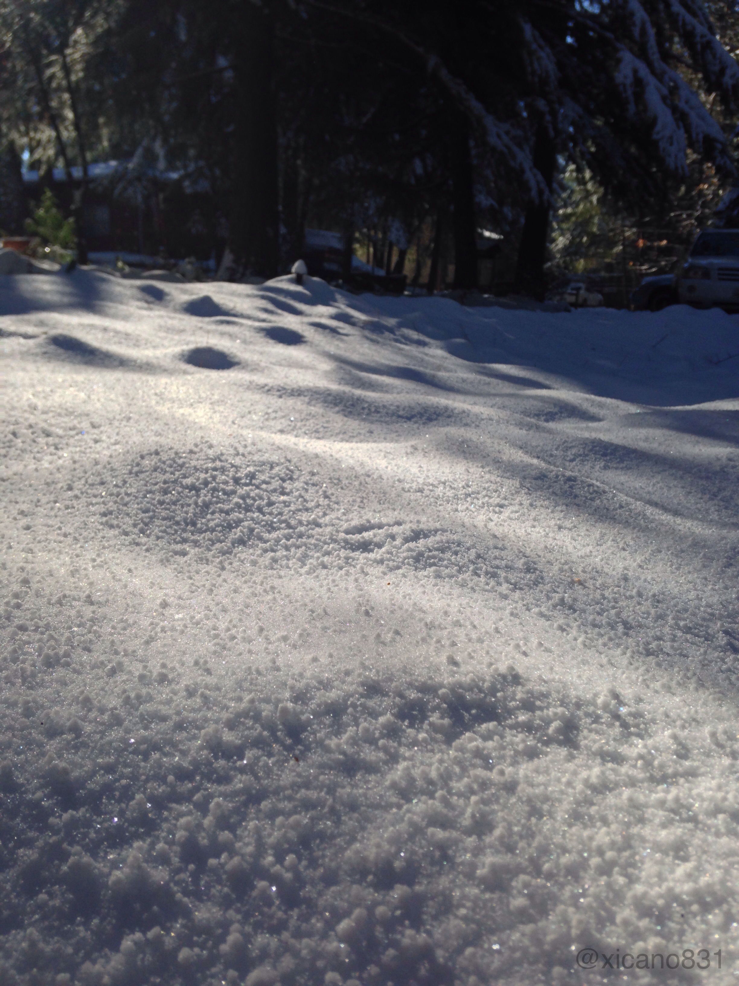
Magalia,ca
Magalia,ca
Magalia,ca
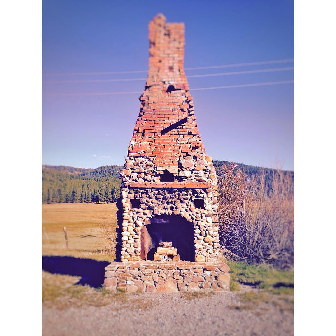
This is all that's left of a gas station (originally built by PG&E) turned restaurant in Forest Ranch. Due to a fire in the 1960's, the only thing left standing is this fireplace. #miniroadtrip @lumber_jak

_7140019.NEF

_8010161.NEF
Topographic Map of California 32, CA-32, California, USA
Find elevation by address:

Places near California 32, CA-32, California, USA:
5677 Royal Driftway
5218 Pine Way
5218 Pine Way
16298 Forest Ranch Rd
123 Mud Creek Rd
4807 Schott Rd
110 Bull Creek Ln
Forest Ranch Rd, Forest Ranch, CA, USA
Lovelock Rd, Magalia, CA, USA
4864 Tippytoe Ln
Cohasset
Forest Ranch
146 Whispering Pines Cir
15939 Skyway
Forest Ranch Way
15283 Forest Ranch Way
9640 Cohasset Rd
De Sabla
Coutolenc Rd, Magalia, CA, USA
Lovelock
Recent Searches:
- Elevation of Leguwa, Nepal
- Elevation of County Rd, Enterprise, AL, USA
- Elevation of Kolchuginsky District, Vladimir Oblast, Russia
- Elevation of Shustino, Vladimir Oblast, Russia
- Elevation of Lampiasi St, Sarasota, FL, USA
- Elevation of Elwyn Dr, Roanoke Rapids, NC, USA
- Elevation of Congressional Dr, Stevensville, MD, USA
- Elevation of Bellview Rd, McLean, VA, USA
- Elevation of Stage Island Rd, Chatham, MA, USA
- Elevation of Shibuya Scramble Crossing, 21 Udagawacho, Shibuya City, Tokyo -, Japan