Elevation of Bull Creek Ln, Chico, CA, USA
Location: United States > California > Butte County > Cohasset >
Longitude: -121.72124
Latitude: 39.9395053
Elevation: 933m / 3061feet
Barometric Pressure: 91KPa
Elevation Map:
Satellite Map:
Related Photos:

02•52 • dog nose
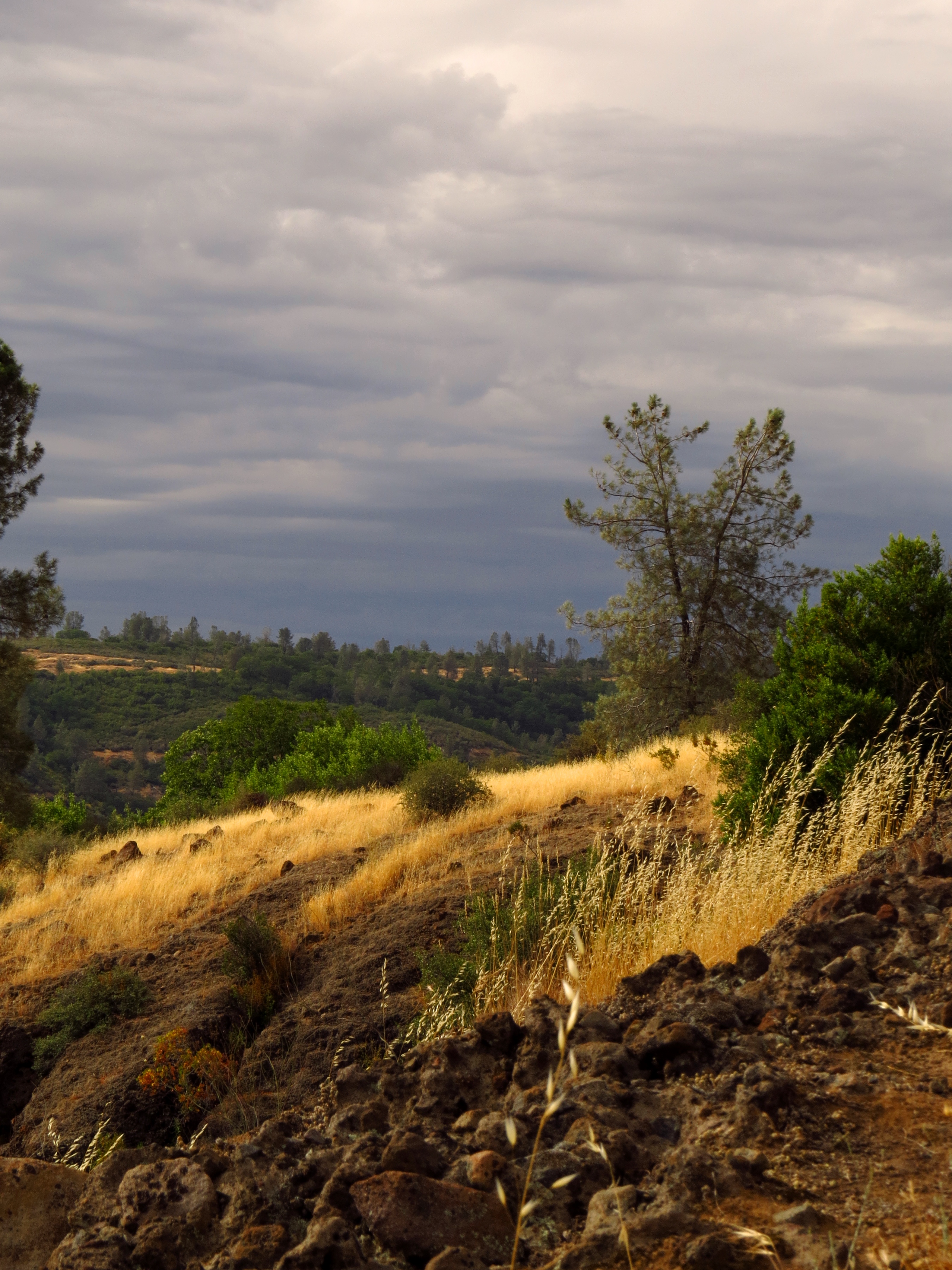
Gold and green

O'B (6)

_8010160.NEF
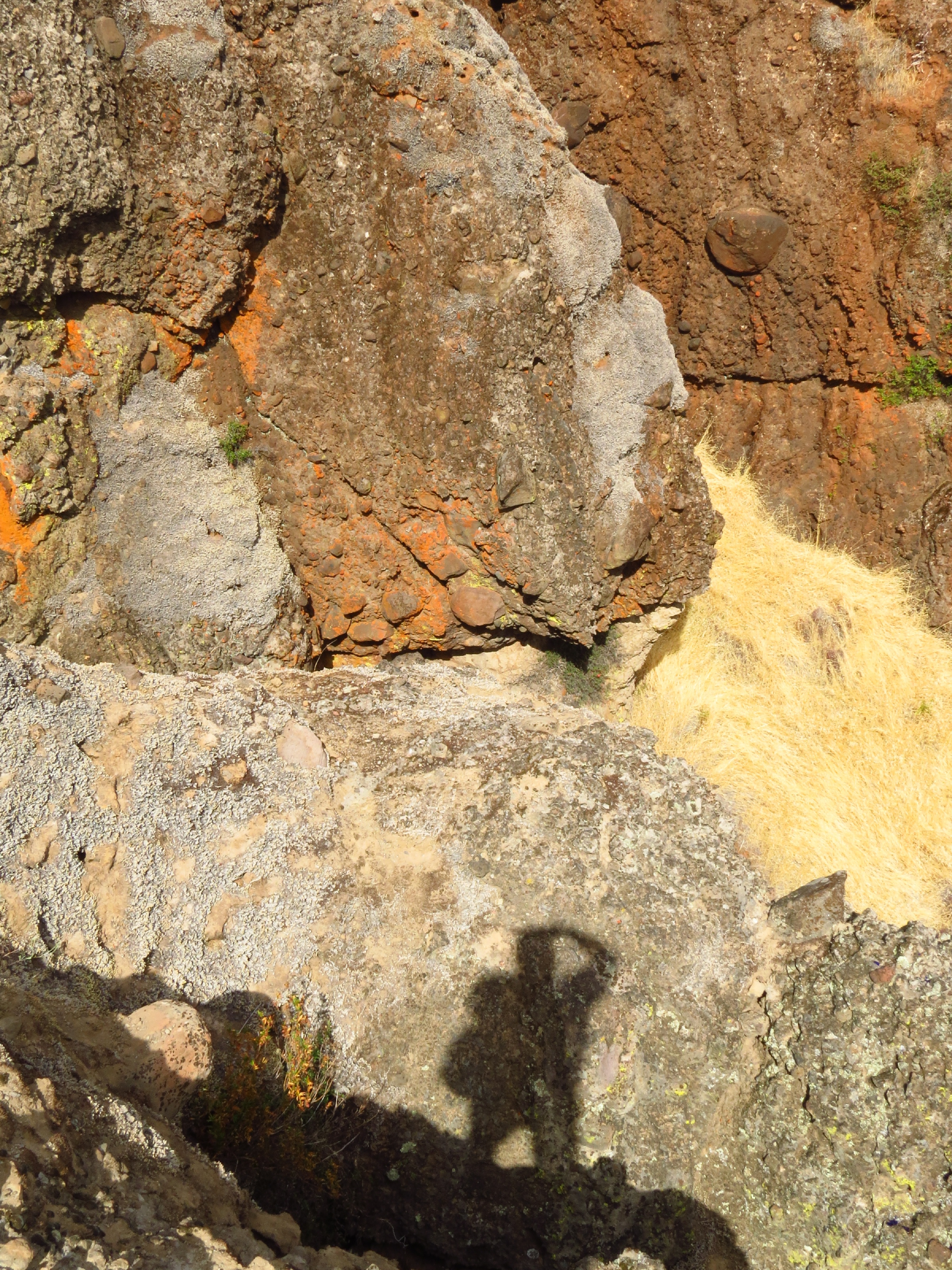
photographers shadow 2fer
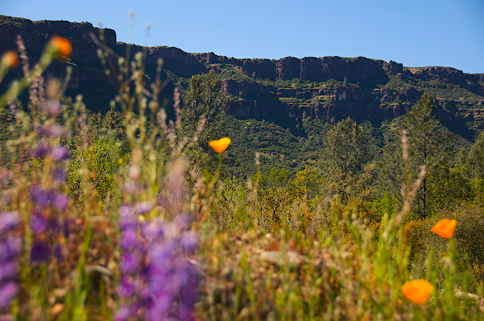
Near Honey Run Bridge
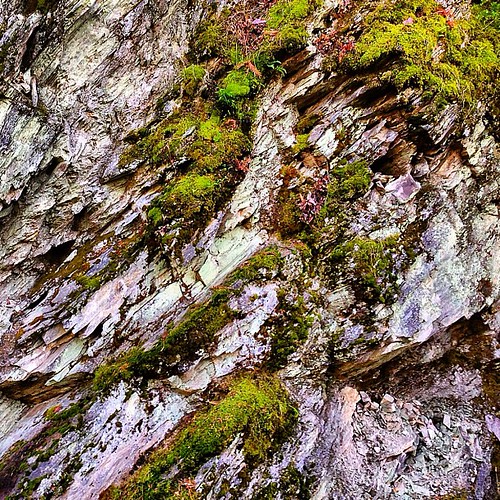
Rock and Moss
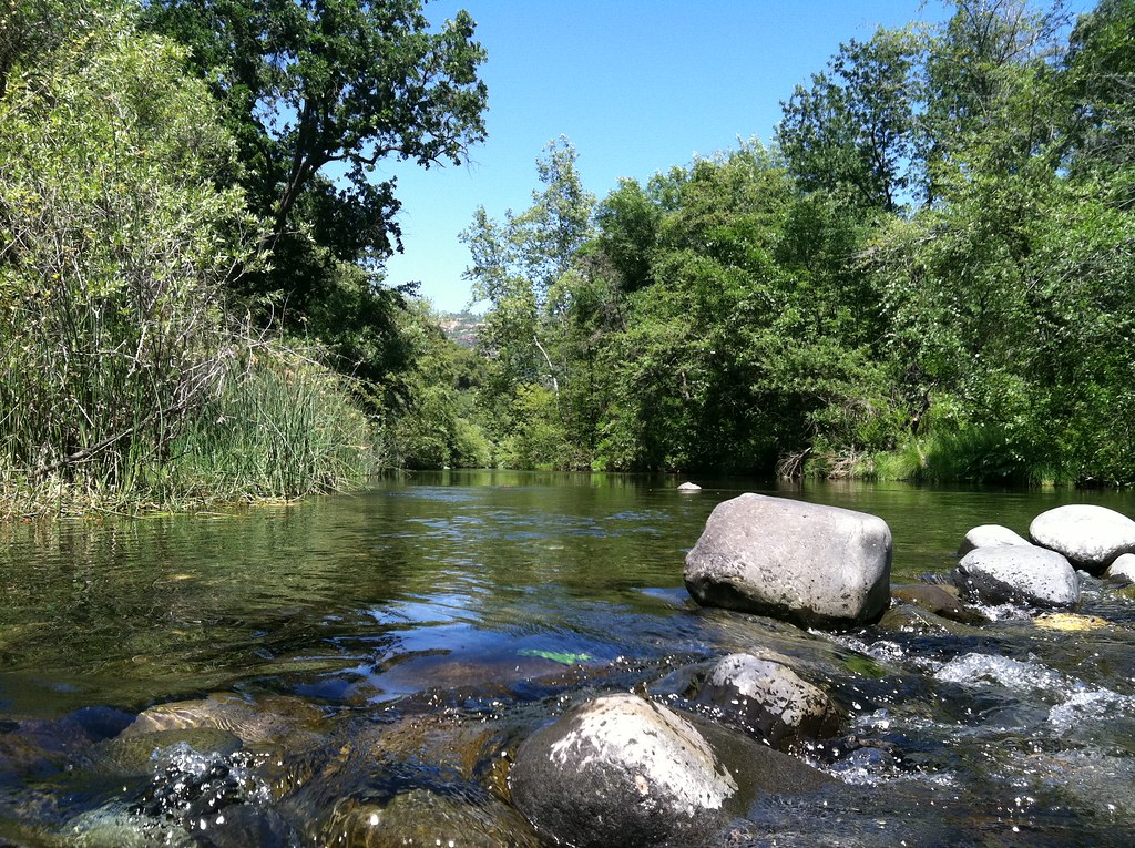
Big Chico Creek
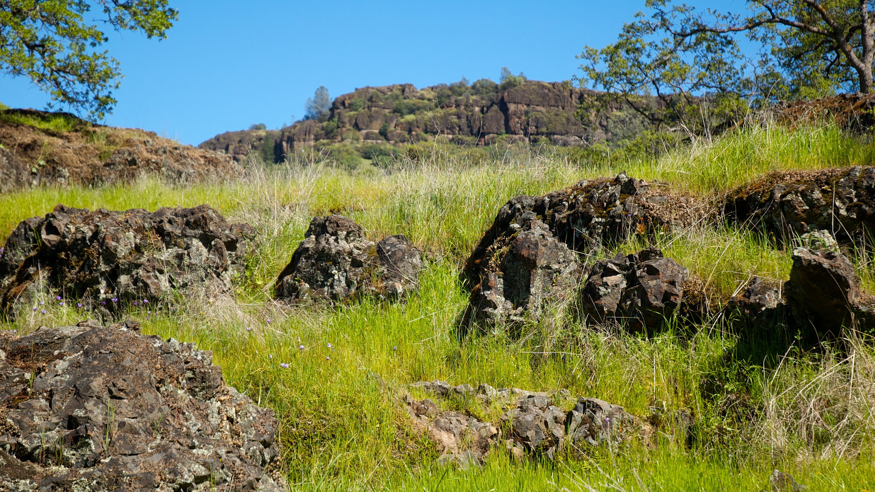
Basalt Rock

Big Chico Creek

_7140008.NEF
Topographic Map of Bull Creek Ln, Chico, CA, USA
Find elevation by address:

Places near Bull Creek Ln, Chico, CA, USA:
123 Mud Creek Rd
Cohasset
146 Whispering Pines Cir
9640 Cohasset Rd
9460 Cohasset Rd
46 North Point Rd
16298 Forest Ranch Rd
4807 Schott Rd
California 32
Forest Ranch Rd, Forest Ranch, CA, USA
Forest Ranch Way
5218 Pine Way
5218 Pine Way
15283 Forest Ranch Way
Forest Ranch
4864 Tippytoe Ln
Ceejay Rd, Chico, CA, USA
5677 Royal Driftway
Richardson Springs Rd, Chico, CA, USA
De Sabla
Recent Searches:
- Elevation of Keene Point Drive, Keene Point Dr, Grant, AL, USA
- Elevation of State St, Zanesville, OH, USA
- Elevation of Austin Stone Dr, Haslet, TX, USA
- Elevation of Bydgoszcz, Poland
- Elevation of Bydgoszcz, Poland
- Elevation of Calais Dr, Del Mar, CA, USA
- Elevation of Placer Mine Ln, West Jordan, UT, USA
- Elevation of E 63rd St, New York, NY, USA
- Elevation of Elk City, OK, USA
- Elevation of Erika Dr, Windsor, CA, USA