Elevation of Philbrook Lake Campground, Magalia, CA, USA
Location: United States > California > Butte County > Magalia >
Longitude: -121.46719
Latitude: 40.0276603
Elevation: 1698m / 5571feet
Barometric Pressure: 83KPa
Elevation Map:
Satellite Map:
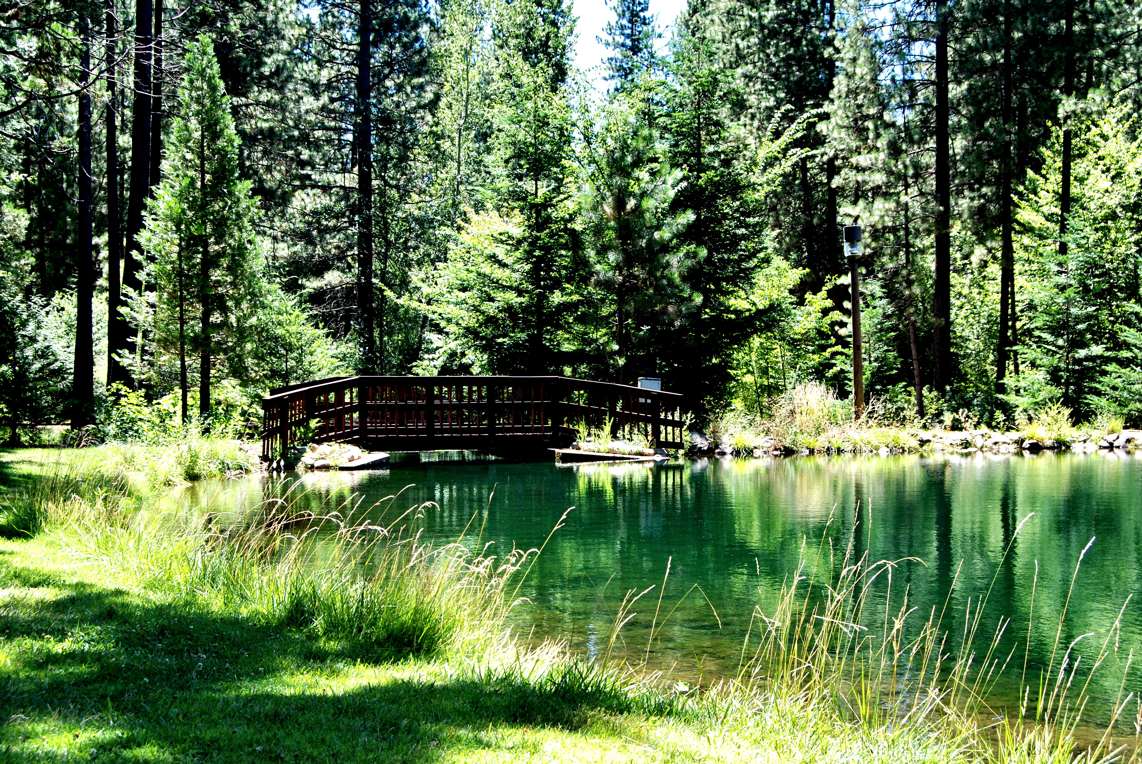
Related Photos:

2017-06-19_10-20-36

L1020041.NEF
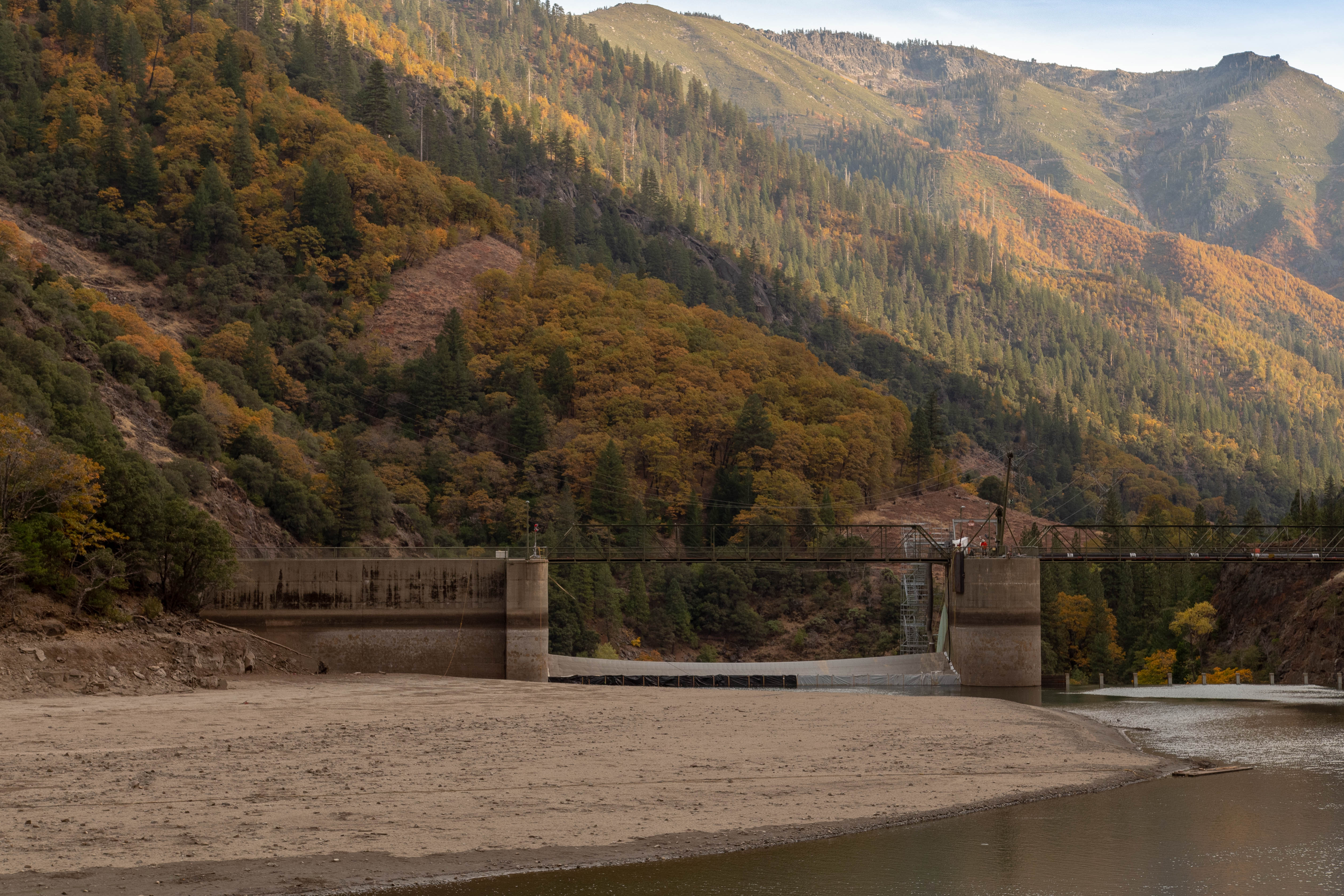
quincy-3028-8221-HDR.jpg
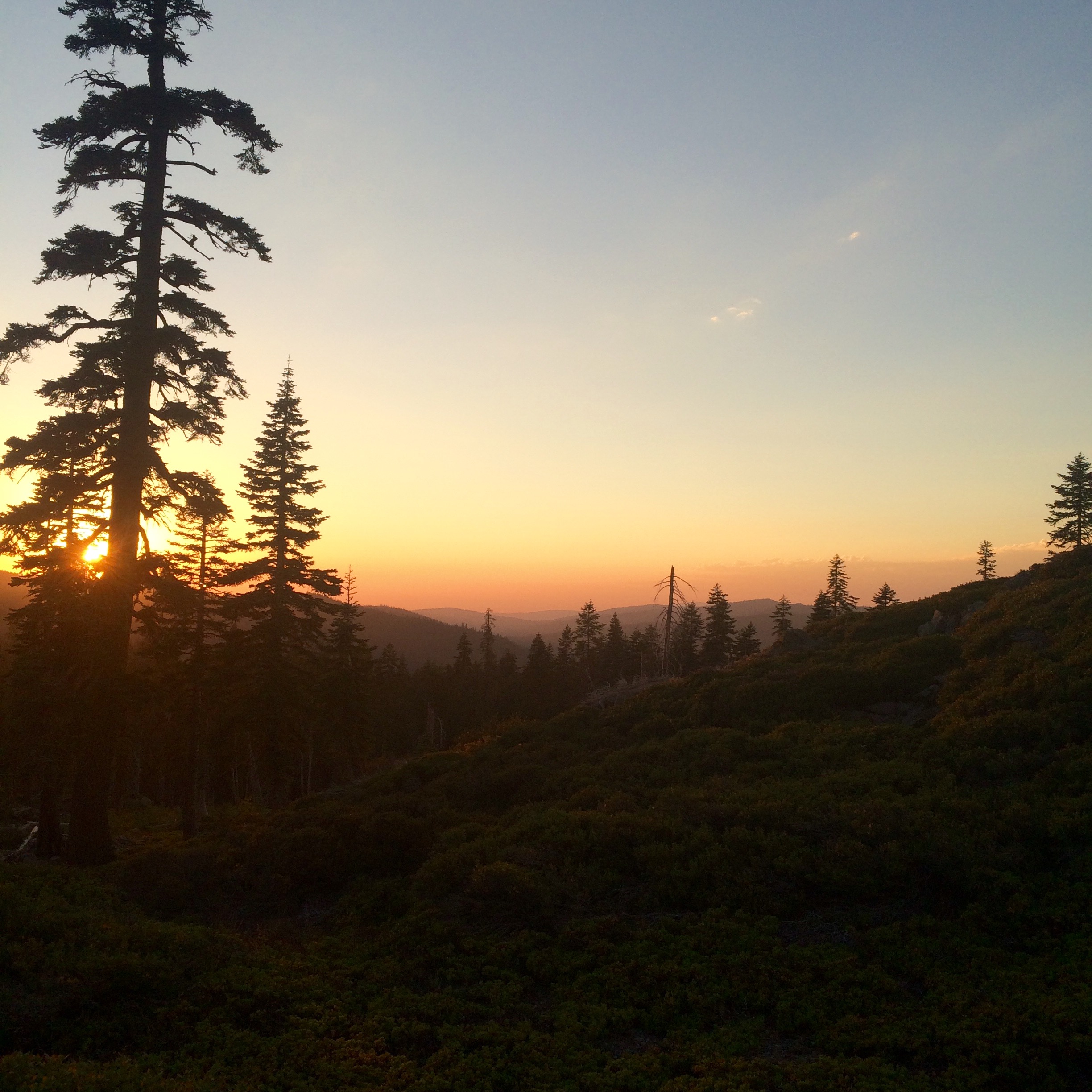
PCT from iPhone
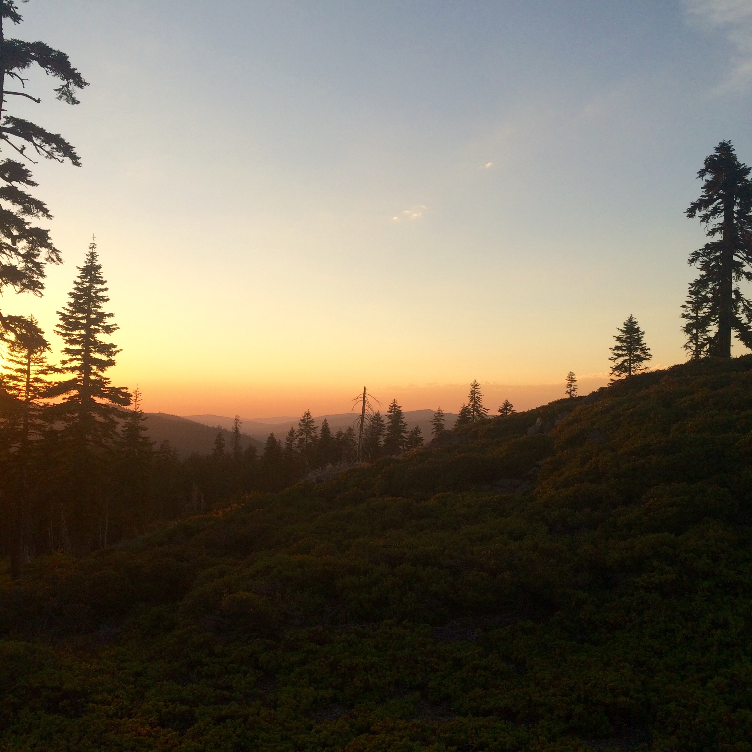
PCT from iPhone
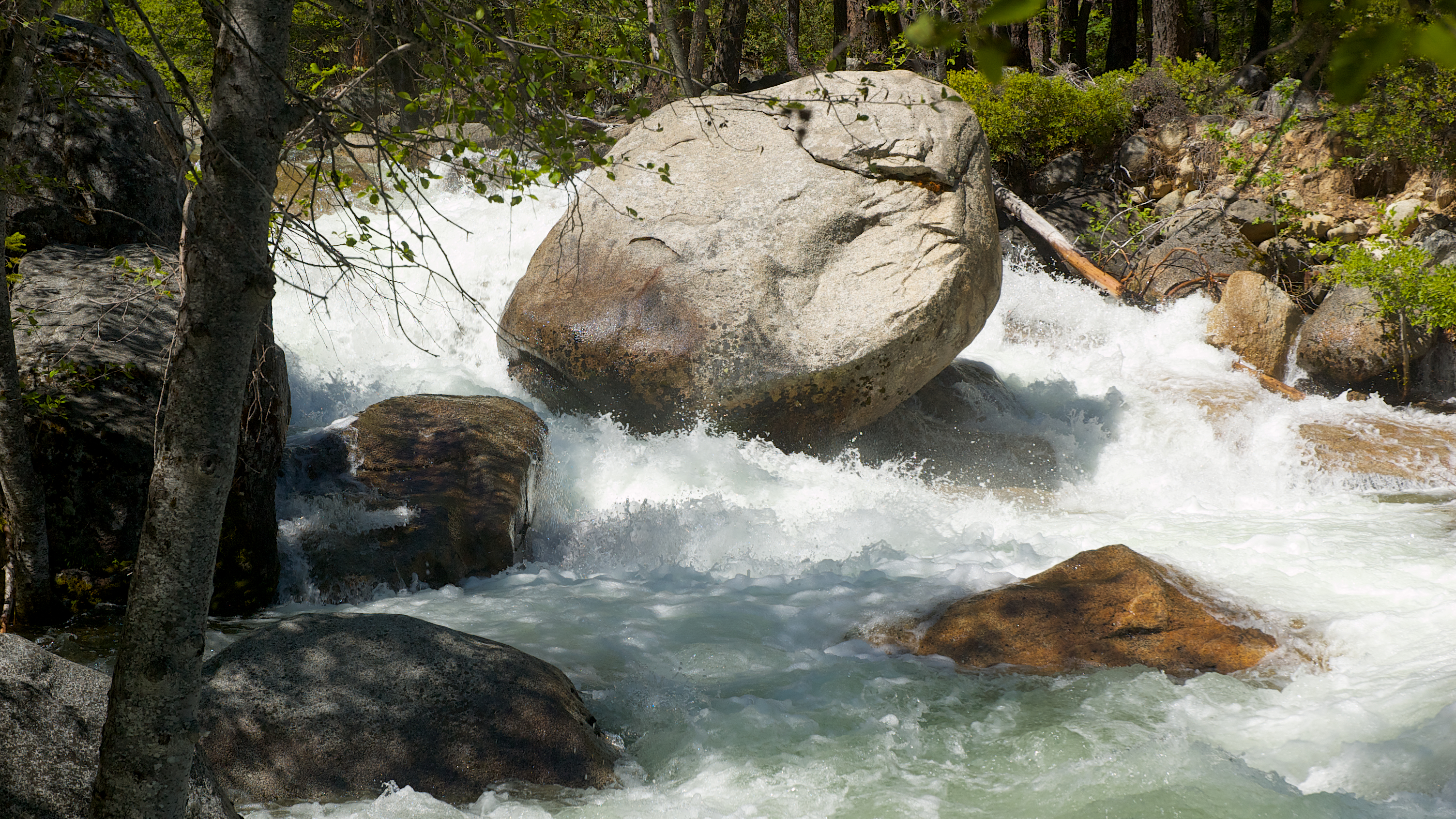
Rock Creek
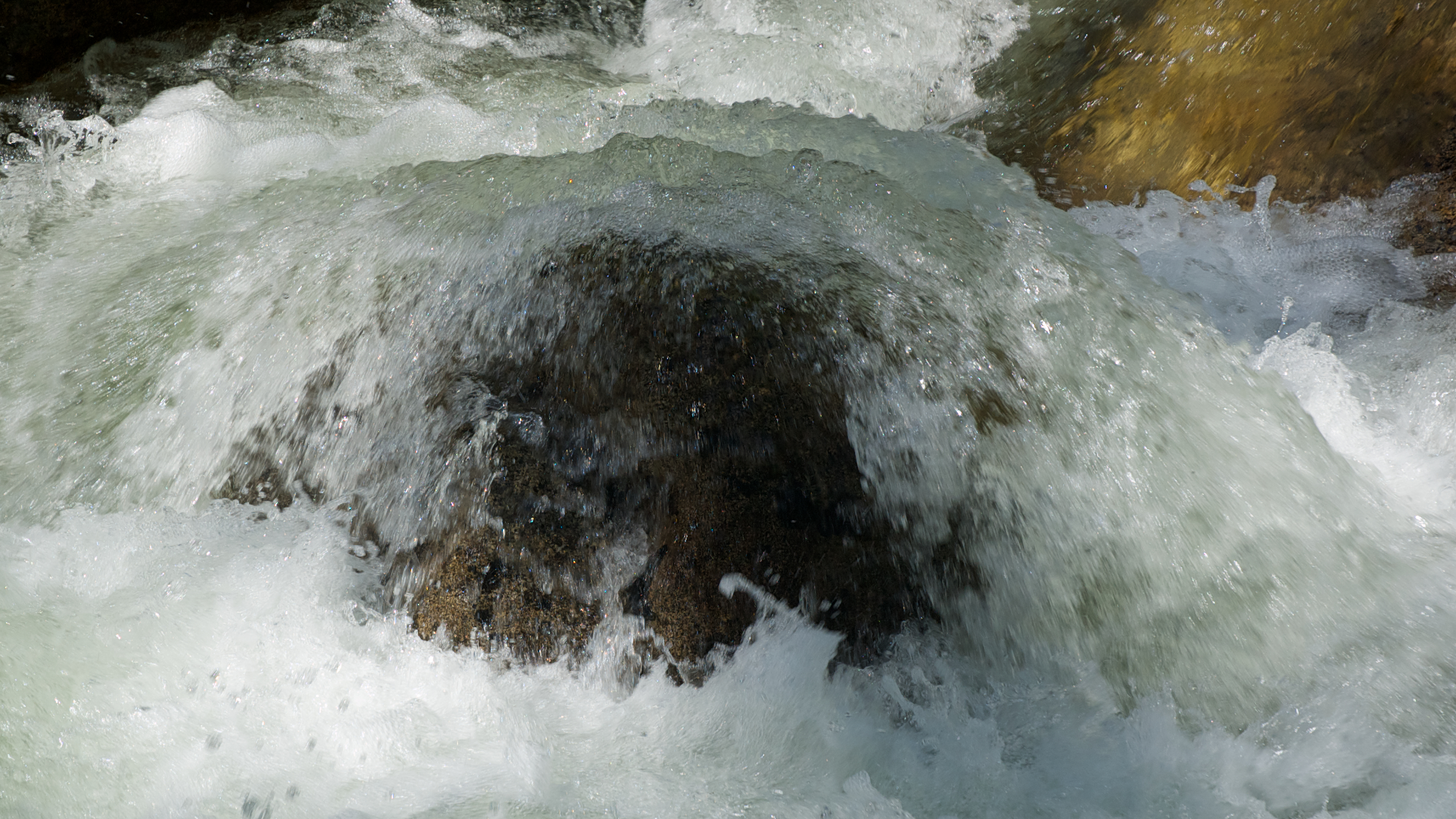
Water!
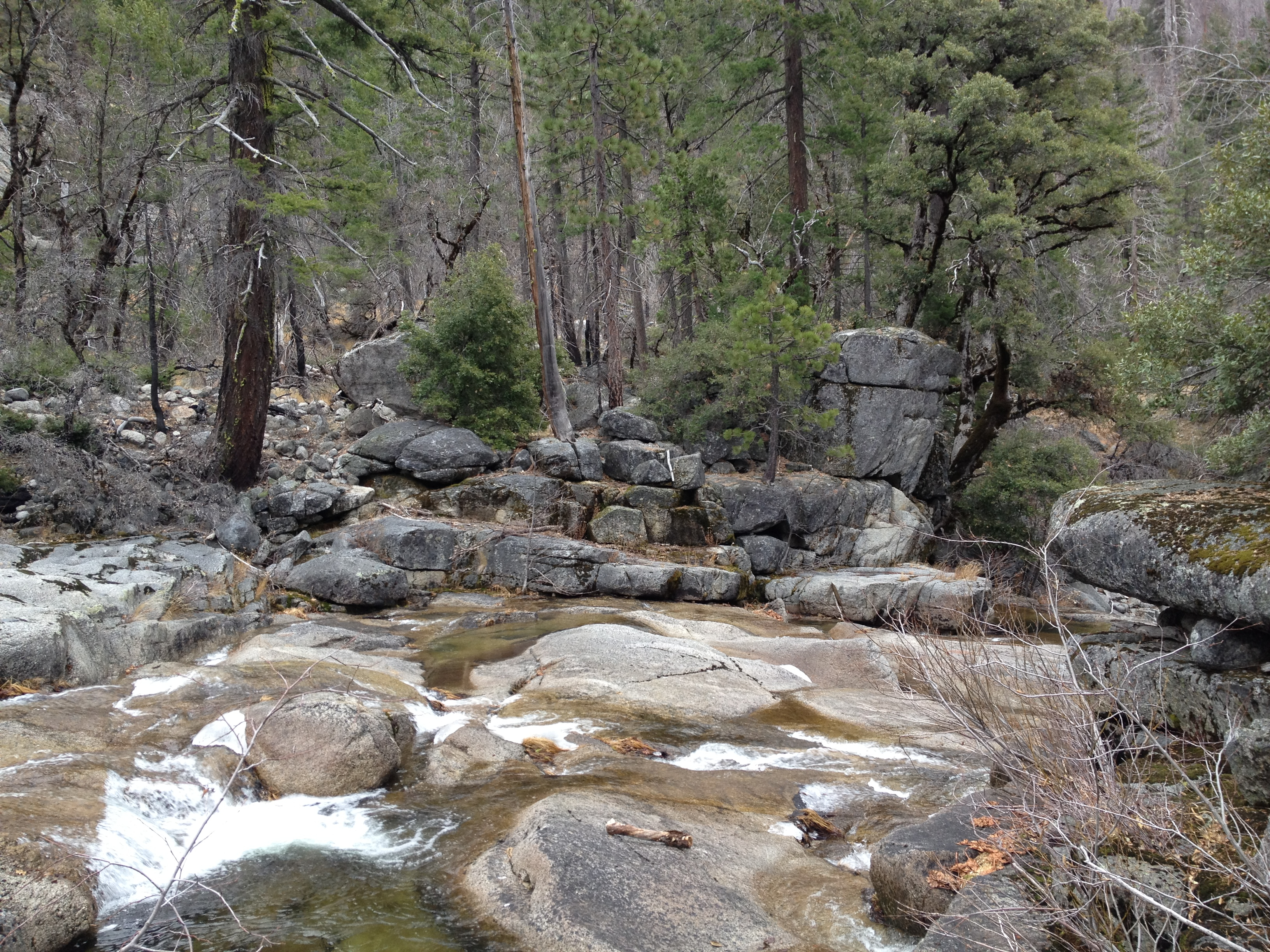
O'B

Rock Creek
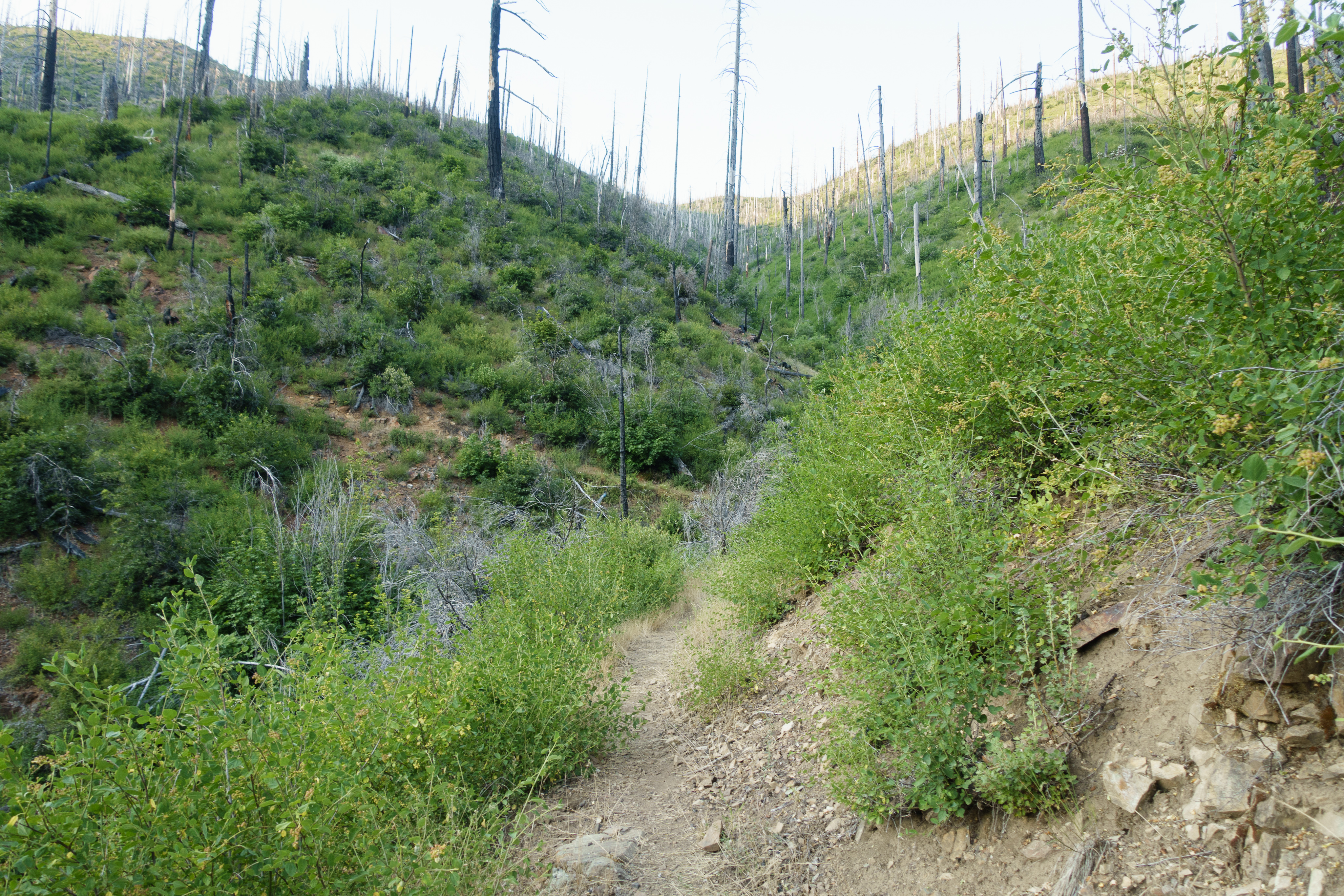
Not all the PCT is inspiring
Low water Rock Creek
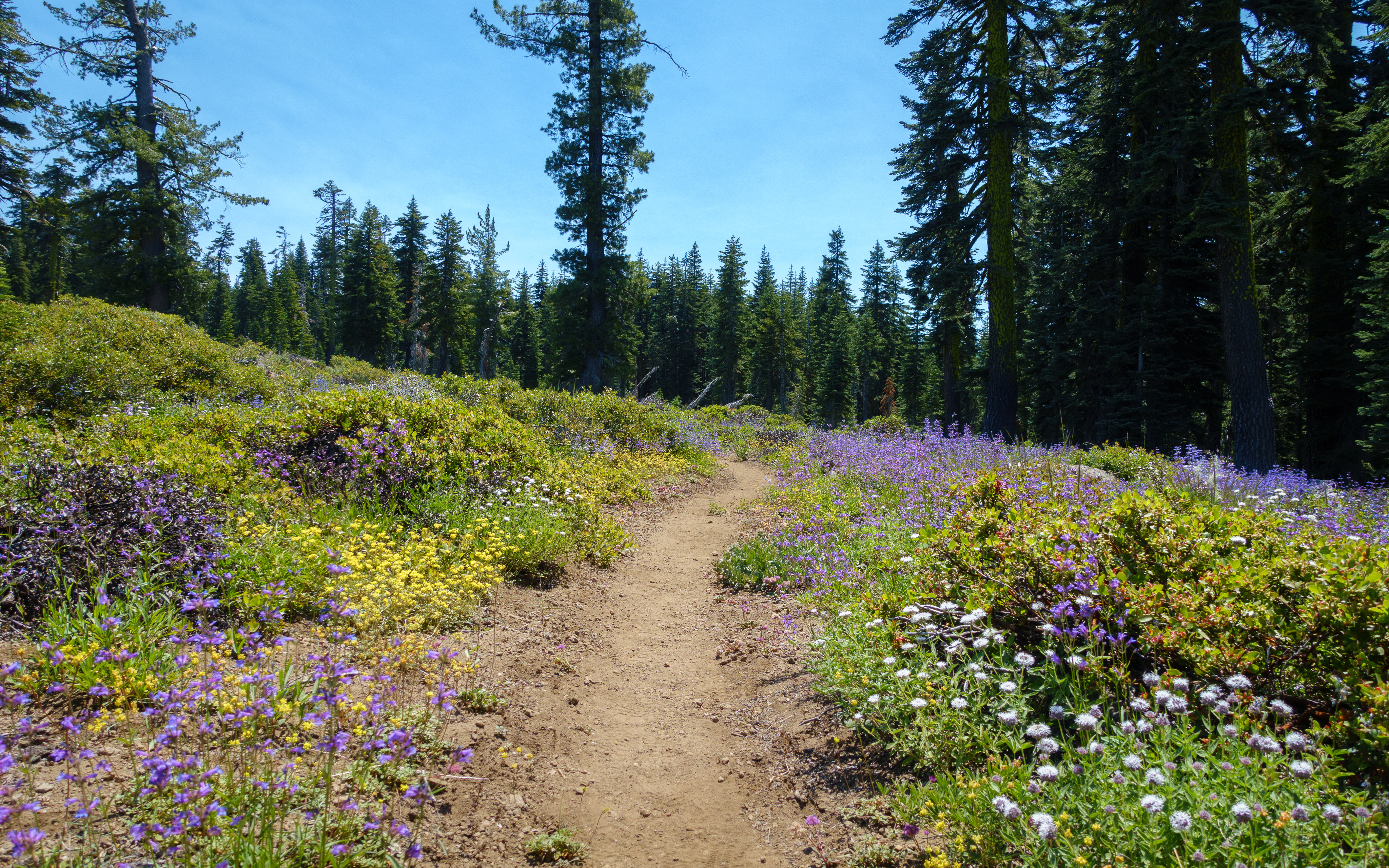
Frog Mountain flowers

Rock Creek

_7140016.NEF
Topographic Map of Philbrook Lake Campground, Magalia, CA, USA
Find elevation by address:

Places near Philbrook Lake Campground, Magalia, CA, USA:
Humbug Summit Rd, Stirling City, CA, USA
Inskip
Bambi Inn
Humboldt Rd, Butte Meadows, CA, USA
Butte Meadows
Stirling City
7877 Granite St
Lovelock Rd, Magalia, CA, USA
Lovelock
Coutolenc Rd, Magalia, CA, USA
CA-70, Storrie, CA, USA
Storrie
15939 Skyway
15750 Coutolenc Rd
15750 Coutolenc Rd
6671 Hupp Coutolenc Rd
6616 Hupp Coutolenc Rd
15251 Crystal Mountain Rd
Feather River Canyon
California 32
Recent Searches:
- Elevation of Woodland Oak Pl, Thousand Oaks, CA, USA
- Elevation of Brownsdale Rd, Renfrew, PA, USA
- Elevation of Corcoran Ln, Suffolk, VA, USA
- Elevation of Mamala II, Sariaya, Quezon, Philippines
- Elevation of Sarangdanda, Nepal
- Elevation of 7 Waterfall Way, Tomball, TX, USA
- Elevation of SW 57th Ave, Portland, OR, USA
- Elevation of Crocker Dr, Vacaville, CA, USA
- Elevation of Pu Ngaol Community Meeting Hall, HWHM+3X7, Krong Saen Monourom, Cambodia
- Elevation of Royal Ontario Museum, Queens Park, Toronto, ON M5S 2C6, Canada