Elevation of Butt Mountain, California, USA
Location: United States > California > Red Bluff >
Longitude: -121.38635
Latitude: 40.2176604
Elevation: 2272m / 7454feet
Barometric Pressure: 77KPa
Elevation Map:
Satellite Map:
Related Photos:

Unreal views at #Lassen! #foreverskies #cumulusclouds #norcal
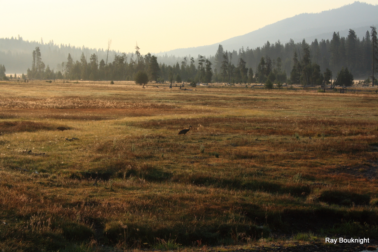
Peaceful Morning
Topographic Map of Butt Mountain, California, USA
Find elevation by address:

Places near Butt Mountain, California, USA:
Hwy 36 E, Mill Creek, CA, USA
CA-36, Mill Creek, CA, USA
Deer Creek Meadows
700 Chester Warner Valley Rd
601 Andrews Rd
Mill Creek
Chester
CA-36, Mill Creek, CA, USA
382 Settlers Rd
382 Settlers Rd
382 Settlers Rd
382 Settlers Rd
382 Settlers Rd
382 Settlers Rd
382 Settlers Rd
Racoon Trail, Chester, CA, USA
Lake Almanor West
Humbug Summit Rd, Stirling City, CA, USA
Philbrook Lake Campground
Lake Almanor
Recent Searches:
- Elevation of Corso Fratelli Cairoli, 35, Macerata MC, Italy
- Elevation of Tallevast Rd, Sarasota, FL, USA
- Elevation of 4th St E, Sonoma, CA, USA
- Elevation of Black Hollow Rd, Pennsdale, PA, USA
- Elevation of Oakland Ave, Williamsport, PA, USA
- Elevation of Pedrógão Grande, Portugal
- Elevation of Klee Dr, Martinsburg, WV, USA
- Elevation of Via Roma, Pieranica CR, Italy
- Elevation of Tavkvetili Mountain, Georgia
- Elevation of Hartfords Bluff Cir, Mt Pleasant, SC, USA