Elevation of CA-36, Mill Creek, CA, USA
Location: United States > California > Mill Creek >
Longitude: -121.37422
Latitude: 40.2596414
Elevation: 1480m / 4856feet
Barometric Pressure: 85KPa
Elevation Map:
Satellite Map:
Related Photos:

Mill Creek
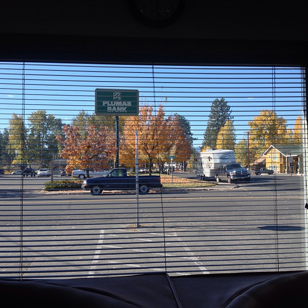
Picturesque window view from the Kopper Kettle in Chester, Calif. Great biscuits & gravy too.
Wide View

Unreal views at #Lassen! #foreverskies #cumulusclouds #norcal

Empidonax #2 - another view
Peaceful Morning
Mist on the Meadow

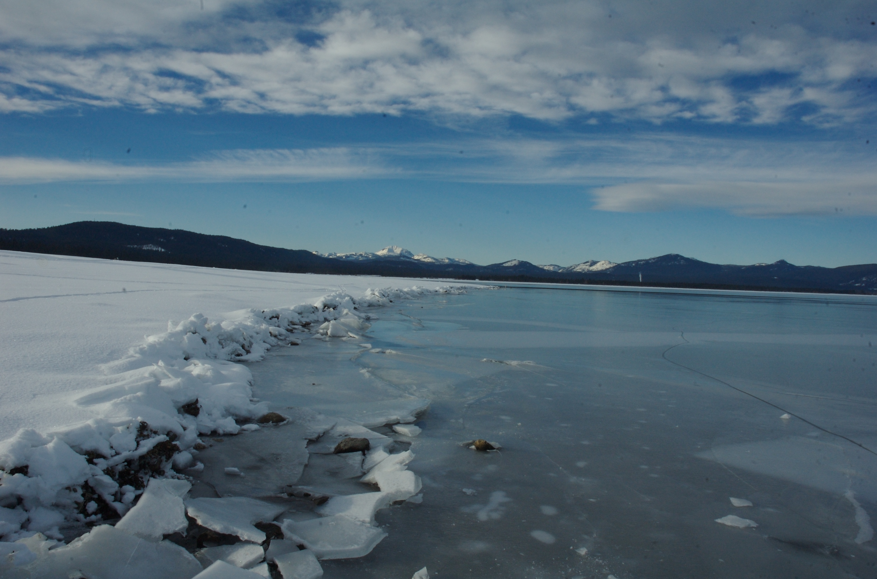
Winter in the Sierra Nevada
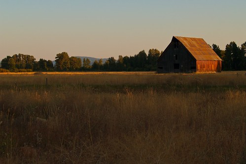
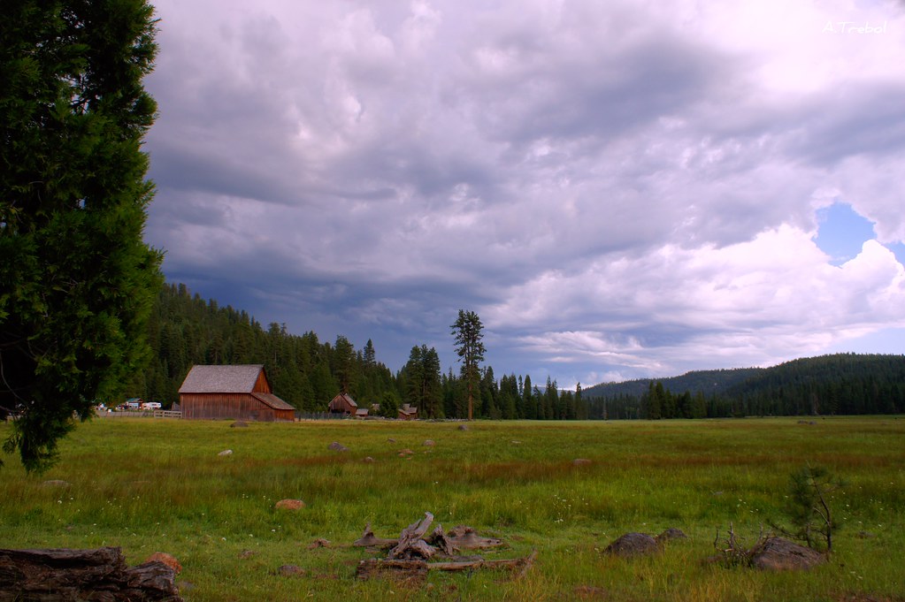
Old Barn A

ATR20121021-1122-138

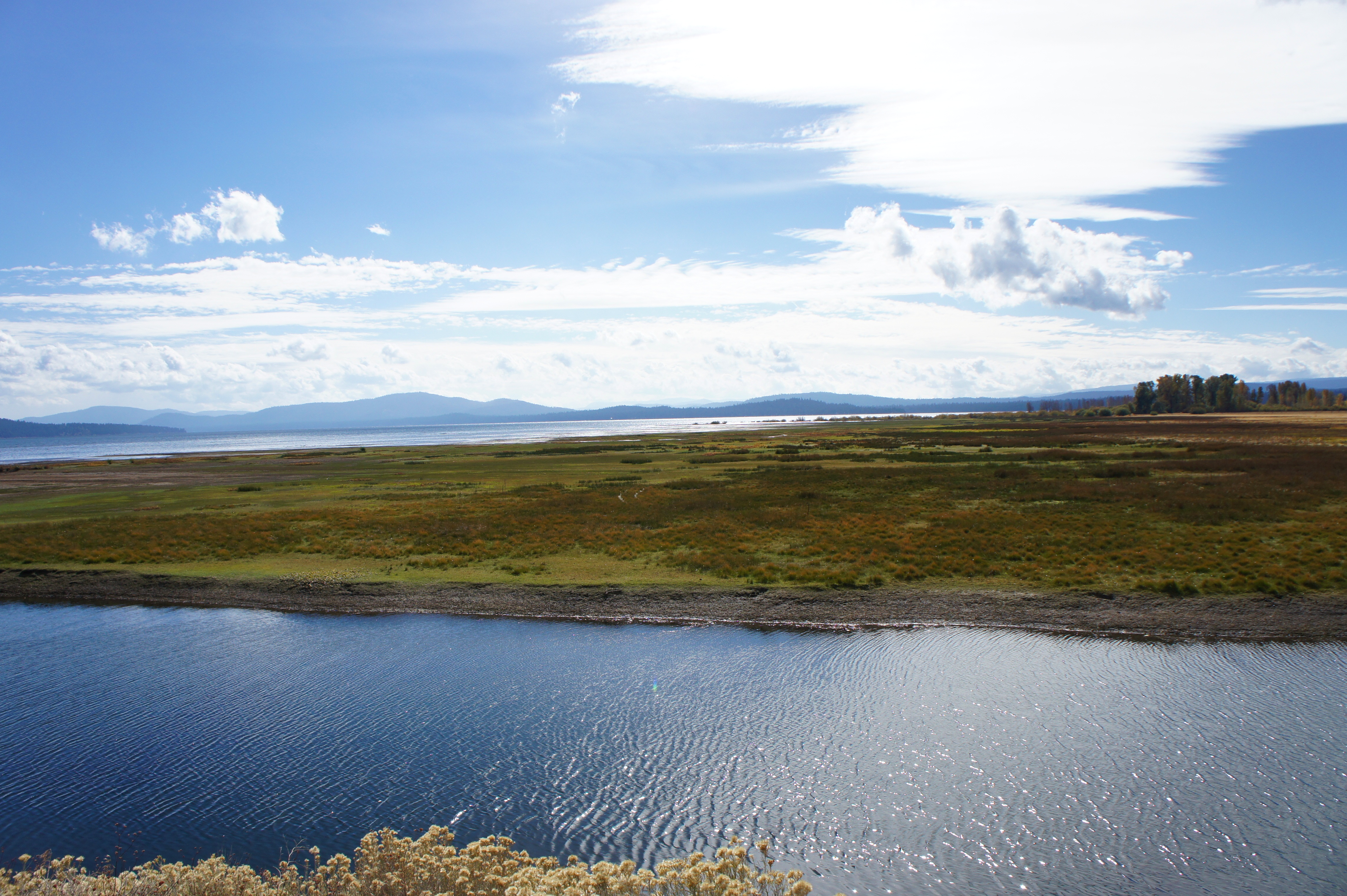
Gateway To Lassen

ATR20121021-1122-136

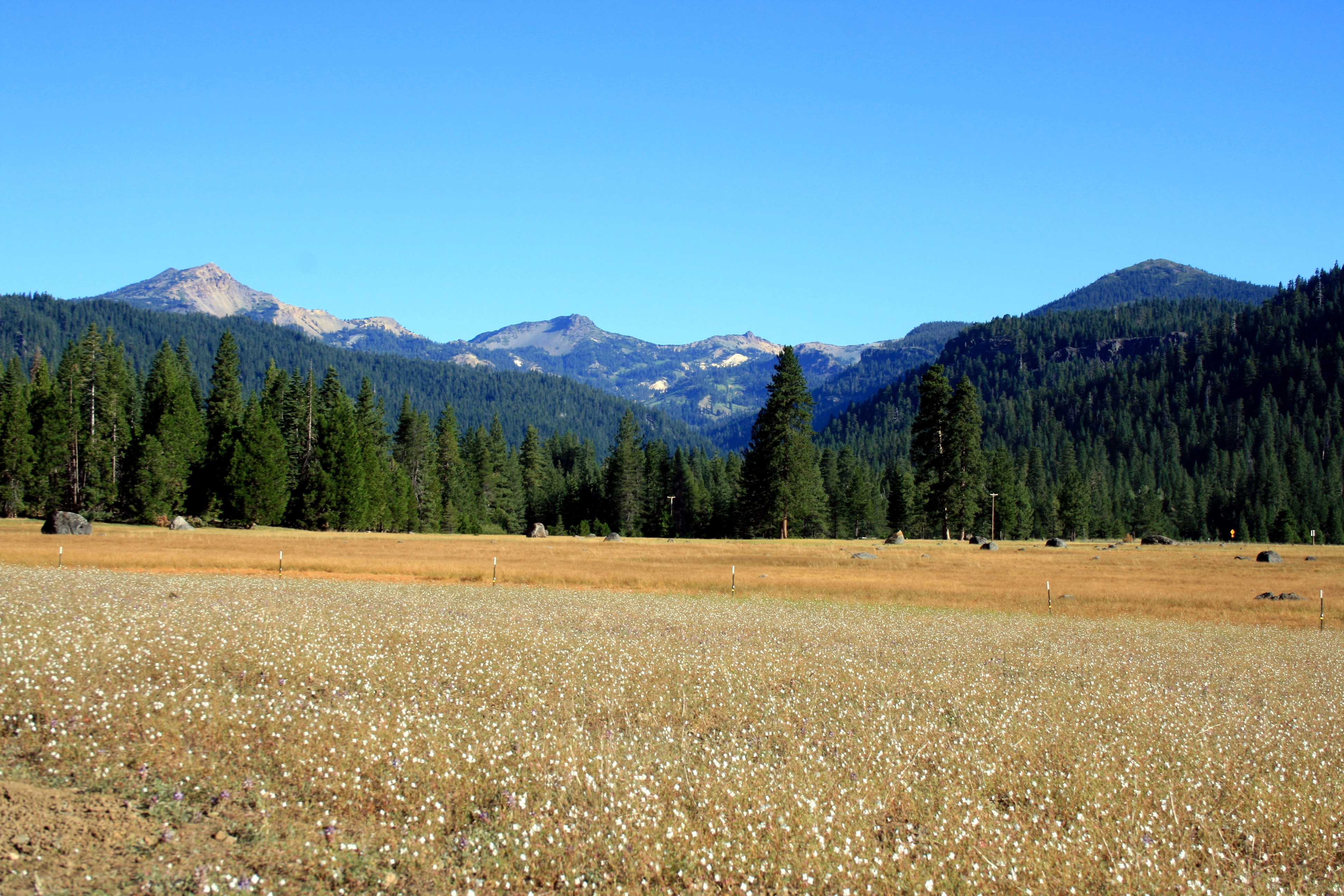
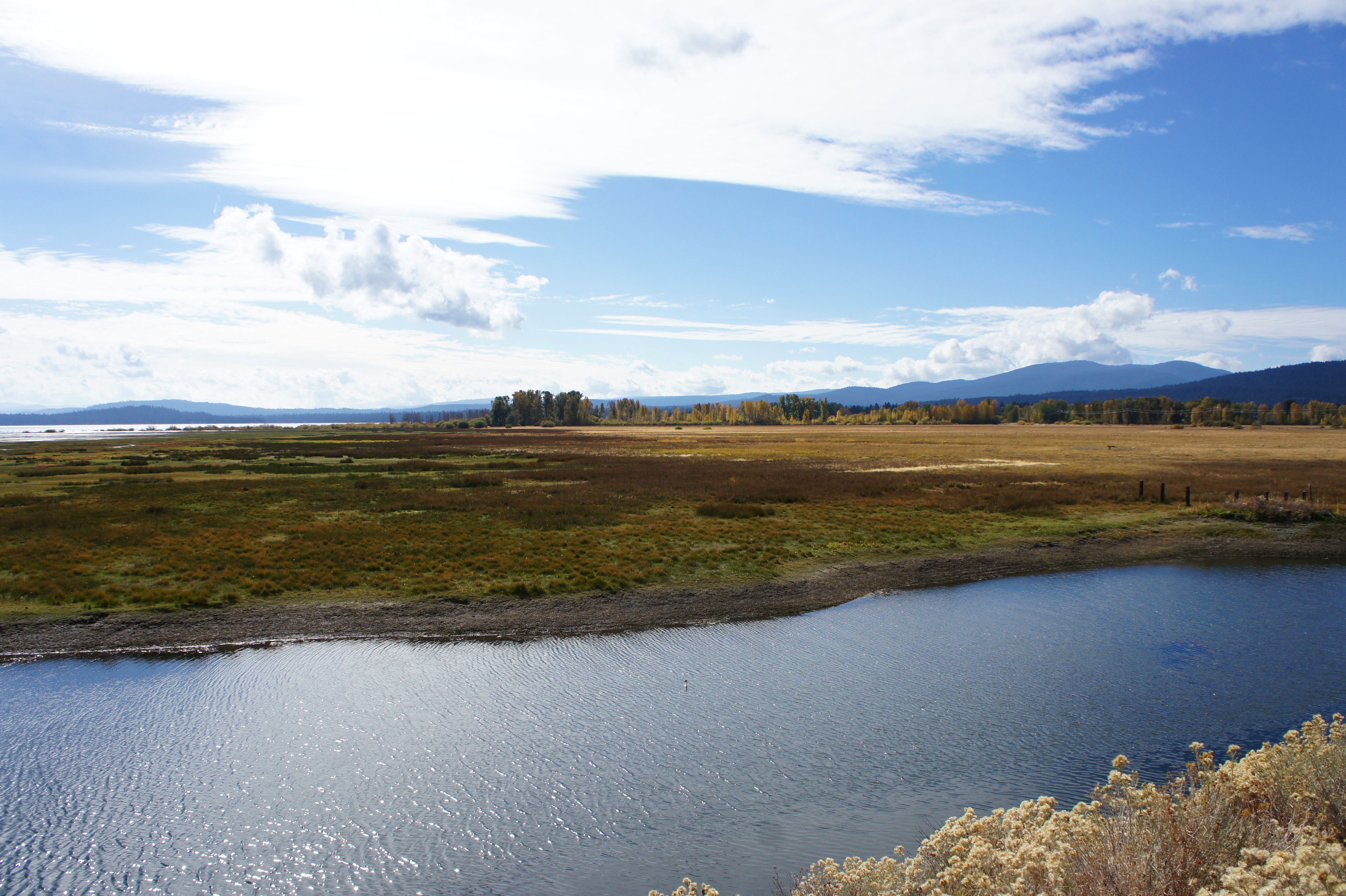
Childs Meadow
DSC_0095.jpg
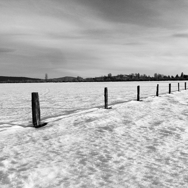
late afternoon, meadow fence in snow
The Meadow
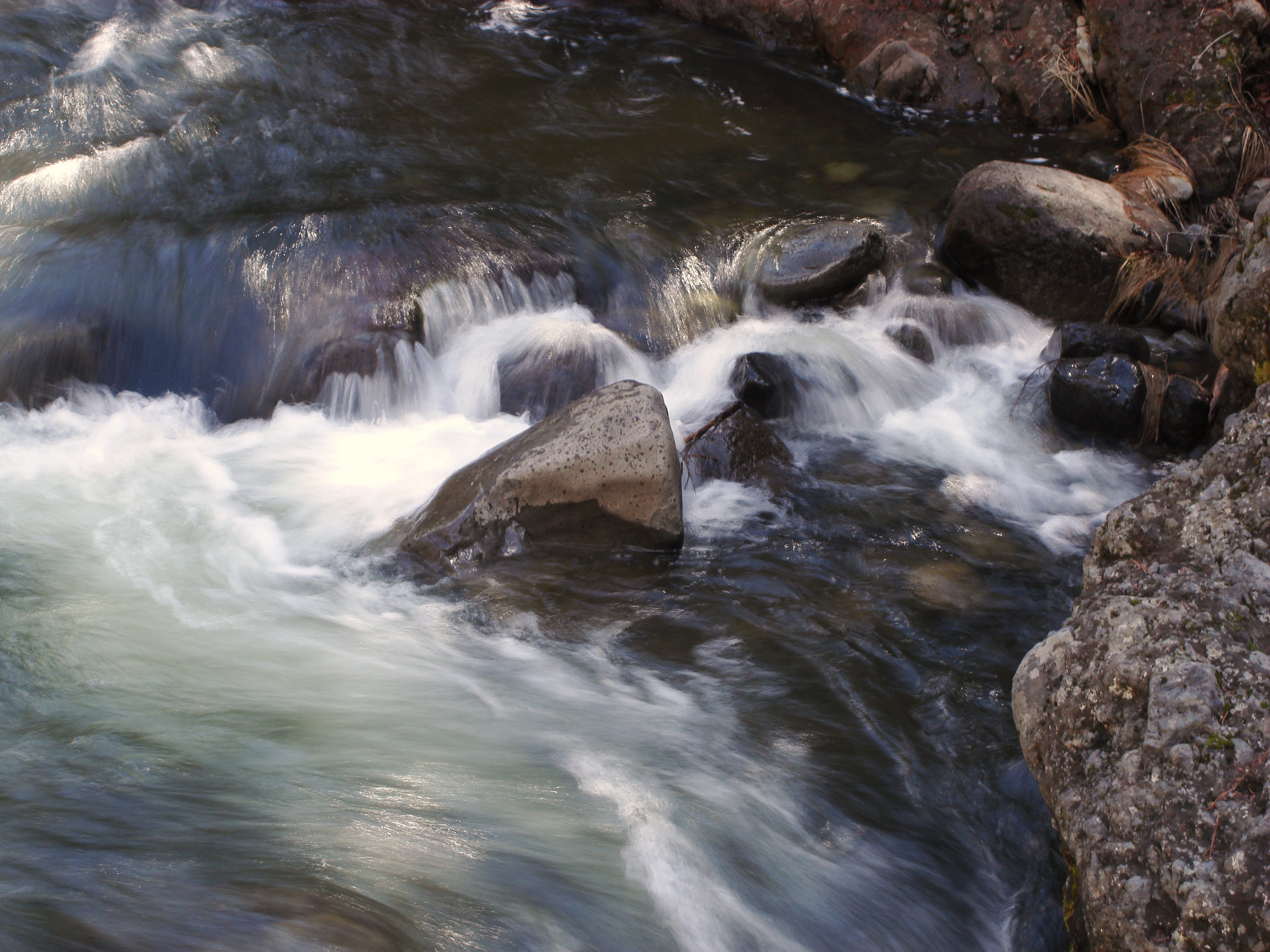
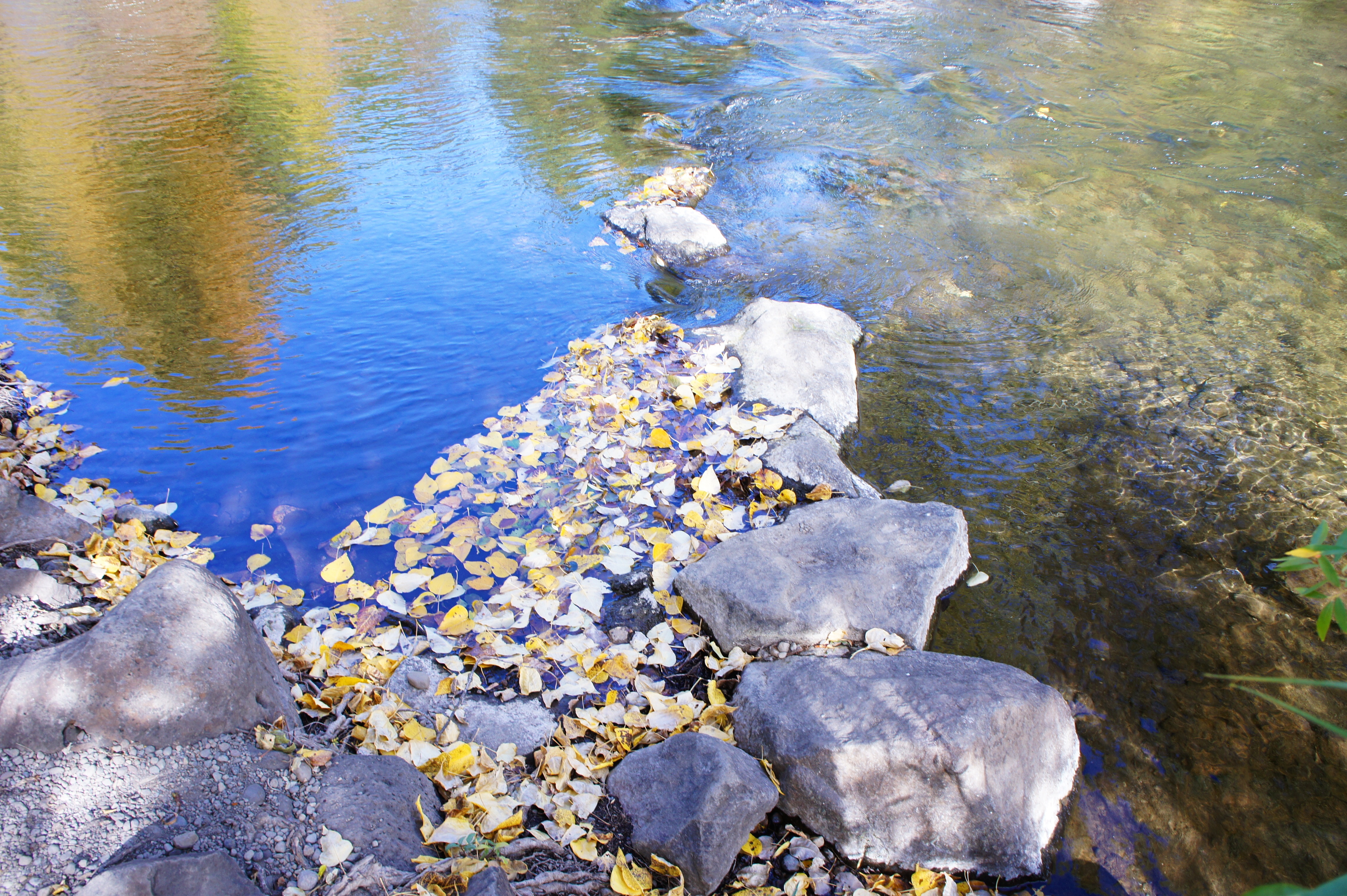
Water And Rocks

Deer Creek Falls HDR
ATR20121021-1248-642
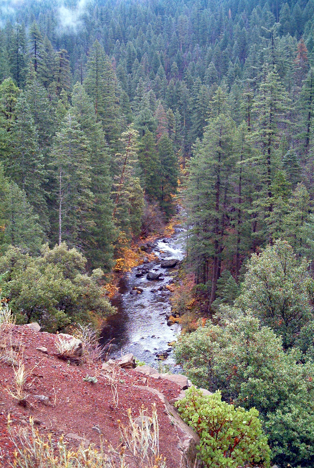
Sierra Nevada creek
ATR20121021-1248-645
Mill Creek

Little Rapids
ATR20121021-1120-635
Topographic Map of CA-36, Mill Creek, CA, USA
Find elevation by address:

Places near CA-36, Mill Creek, CA, USA:
Hwy 36 E, Mill Creek, CA, USA
Butt Mountain
Deer Creek Meadows
700 Chester Warner Valley Rd
601 Andrews Rd
Chester
382 Settlers Rd
382 Settlers Rd
382 Settlers Rd
382 Settlers Rd
382 Settlers Rd
382 Settlers Rd
382 Settlers Rd
CA-36, Mill Creek, CA, USA
Mill Creek
Racoon Trail, Chester, CA, USA
Lake Almanor West
Mount Harkness
Drakesbad Guest Ranch
Drakesbad
Recent Searches:
- Elevation of 72-31 Metropolitan Ave, Middle Village, NY, USA
- Elevation of 76 Metropolitan Ave, Brooklyn, NY, USA
- Elevation of Alisal Rd, Solvang, CA, USA
- Elevation of Vista Blvd, Sparks, NV, USA
- Elevation of 15th Ave SE, St. Petersburg, FL, USA
- Elevation of Beall Road, Beall Rd, Florida, USA
- Elevation of Leguwa, Nepal
- Elevation of County Rd, Enterprise, AL, USA
- Elevation of Kolchuginsky District, Vladimir Oblast, Russia
- Elevation of Shustino, Vladimir Oblast, Russia