Elevation of Hopkinsville Rd, Princeton, KY, USA
Location: United States > Kentucky > Caldwell County > Princeton >
Longitude: -87.844440
Latitude: 37.0854322
Elevation: 152m / 499feet
Barometric Pressure: 100KPa
Elevation Map:
Satellite Map:
Related Photos:

Princeton KY ~ Masonic Hall ~ Historic Building

Clearing Skies

Sunset And Reflections II
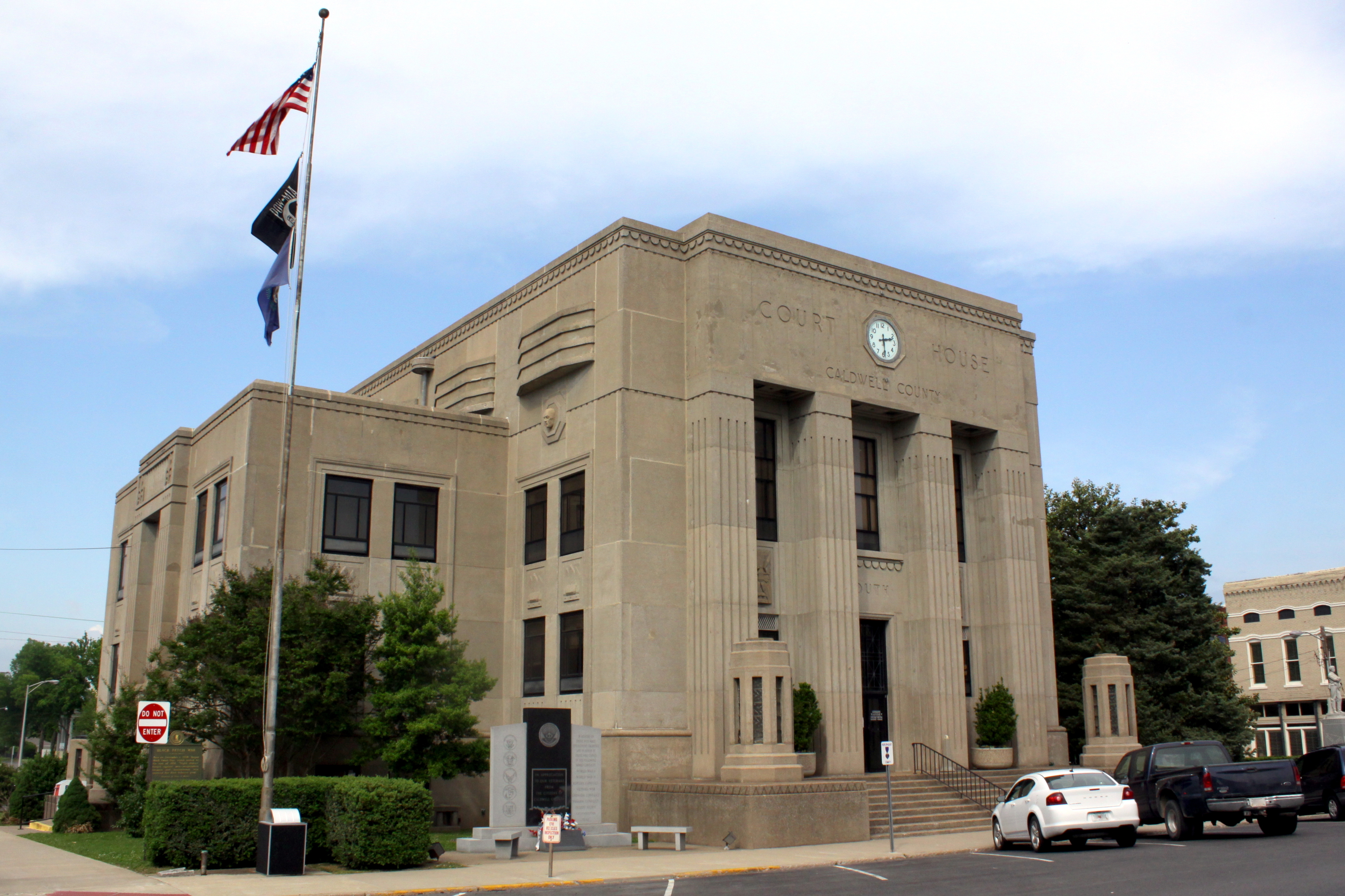
Caldwell Co Courthouse - Princeton, KY

Cabin in the Woods

Sunset And Reflections I

Slowly Going Below The Treeline

The view from my room. #research #retreat

fall 2012

Sunset in Cadiz, Ky.

DSC_0362.jpg

A vineyard in KY. I've seen it all..:
Topographic Map of Hopkinsville Rd, Princeton, KY, USA
Find elevation by address:

Places near Hopkinsville Rd, Princeton, KY, USA:
Hopkinsville Rd, Princeton, KY, USA
Princeton
Garrett Street
Marion Rd, Princeton, KY, USA
Lewistown Rd, Princeton, KY, USA
Claxton
Caldwell County
Training Center Drive
Jones-keeney Wildlife Management Area
460 Edwards Rd
1340 Bethany Church Rd
Waterfall Cave
1345 Ferguson Rd
Mount Hebron Church Road
1345 Ferguson Rd
White School House Road
Hay Road
Mount Hebron Church
6300 Olney Rd
KY-, Dawson Springs, KY, USA
Recent Searches:
- Elevation of Spaceport America, Co Rd A, Truth or Consequences, NM, USA
- Elevation of Warwick, RI, USA
- Elevation of Fern Rd, Whitmore, CA, USA
- Elevation of 62 Abbey St, Marshfield, MA, USA
- Elevation of Fernwood, Bradenton, FL, USA
- Elevation of Felindre, Swansea SA5 7LU, UK
- Elevation of Leyte Industrial Development Estate, Isabel, Leyte, Philippines
- Elevation of W Granada St, Tampa, FL, USA
- Elevation of Pykes Down, Ivybridge PL21 0BY, UK
- Elevation of Jalan Senandin, Lutong, Miri, Sarawak, Malaysia