Elevation of Hopkinsville Rd, Princeton, KY, USA
Location: United States > Kentucky > Caldwell County > Princeton >
Longitude: -87.834711
Latitude: 37.0812088
Elevation: 155m / 509feet
Barometric Pressure: 99KPa
Elevation Map:
Satellite Map:
Related Photos:

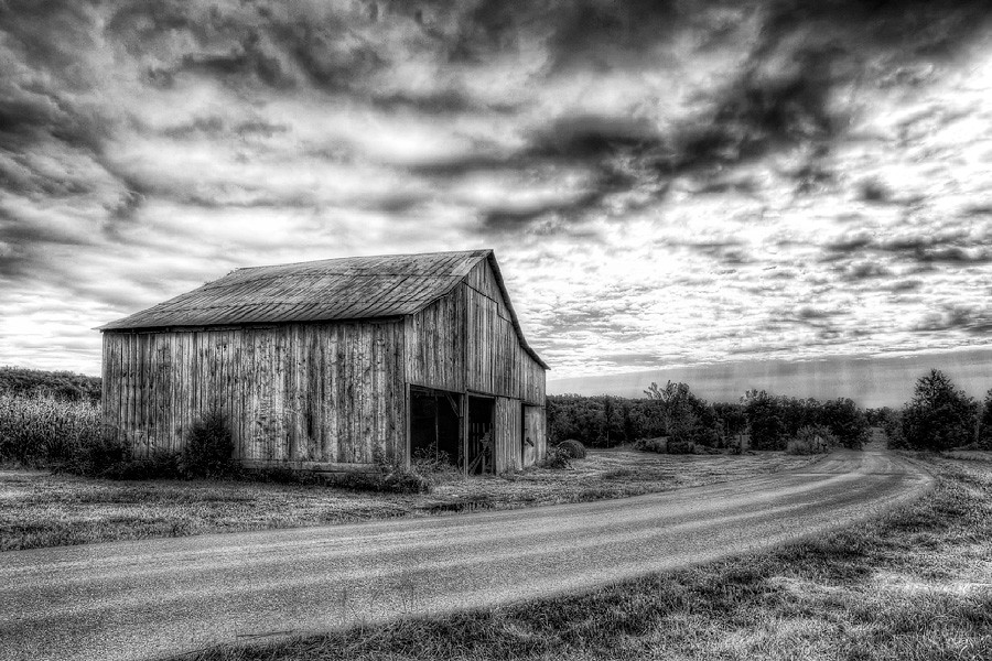
Cabin in the Woods
Clearing Skies

Sunset And Reflections II
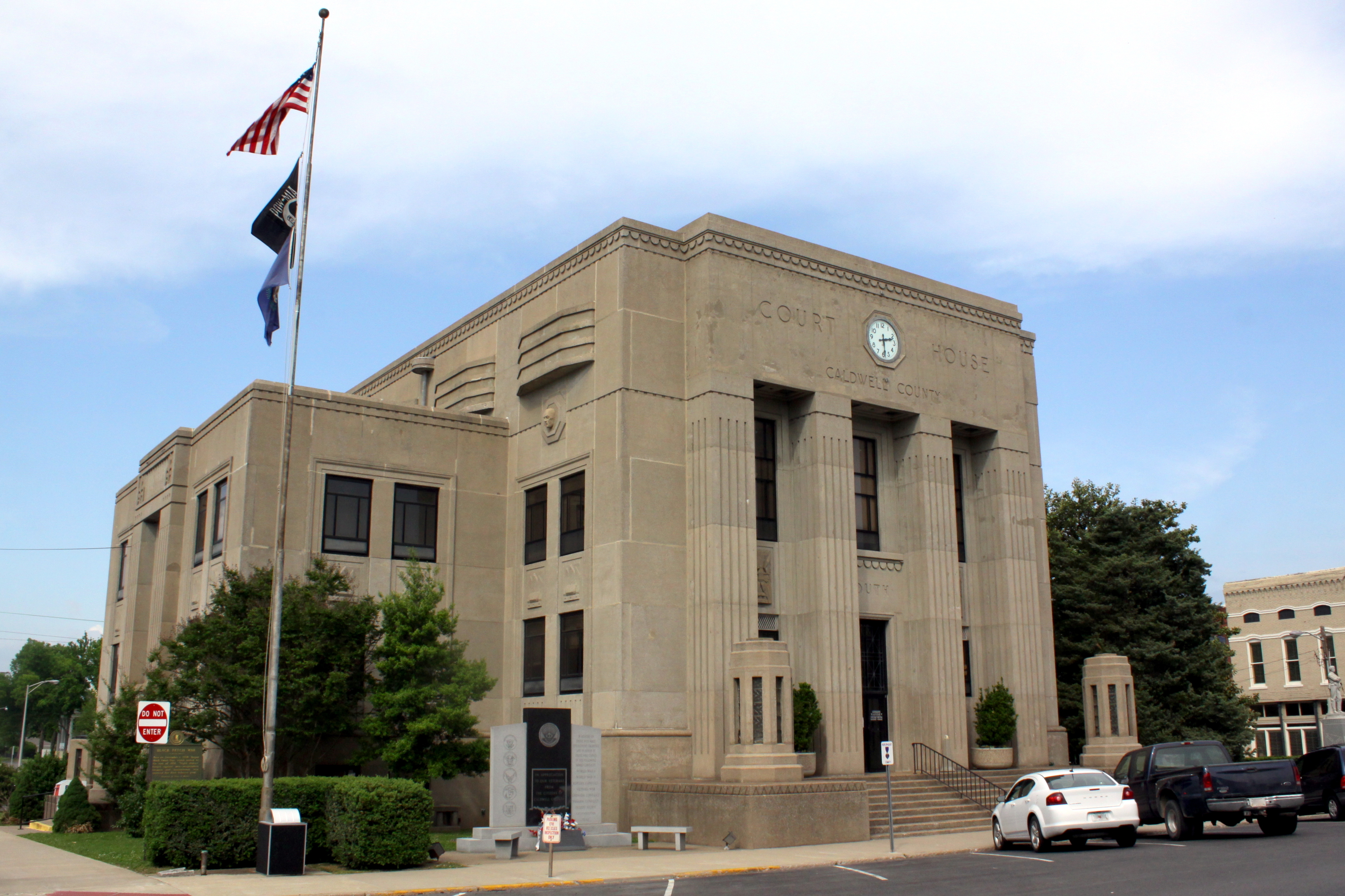
Caldwell Co Courthouse - Princeton, KY
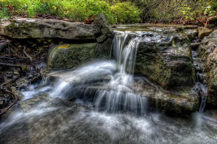
Quiet Stream

Sunset And Reflections I

Princeton KY ~ Masonic Hall

Slowly Going Below The Treeline

The view from my room. #research #retreat

fall 2012

Sunset in Cadiz, Ky.
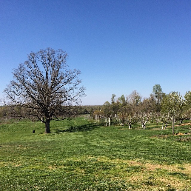
A vineyard in KY. I've seen it all..:

DSC_0362.jpg
Topographic Map of Hopkinsville Rd, Princeton, KY, USA
Find elevation by address:

Places near Hopkinsville Rd, Princeton, KY, USA:
Hopkinsville Rd, Princeton, KY, USA
Princeton
Garrett Street
Lewistown Rd, Princeton, KY, USA
Claxton
Marion Rd, Princeton, KY, USA
Jones-keeney Wildlife Management Area
Caldwell County
Training Center Drive
460 Edwards Rd
Waterfall Cave
1340 Bethany Church Rd
Mount Hebron Church Road
1345 Ferguson Rd
Hay Road
White School House Road
1345 Ferguson Rd
Mount Hebron Church
6300 Olney Rd
KY-, Dawson Springs, KY, USA
Recent Searches:
- Elevation of Corso Fratelli Cairoli, 35, Macerata MC, Italy
- Elevation of Tallevast Rd, Sarasota, FL, USA
- Elevation of 4th St E, Sonoma, CA, USA
- Elevation of Black Hollow Rd, Pennsdale, PA, USA
- Elevation of Oakland Ave, Williamsport, PA, USA
- Elevation of Pedrógão Grande, Portugal
- Elevation of Klee Dr, Martinsburg, WV, USA
- Elevation of Via Roma, Pieranica CR, Italy
- Elevation of Tavkvetili Mountain, Georgia
- Elevation of Hartfords Bluff Cir, Mt Pleasant, SC, USA