Elevation of Holden Brook Rd, Osceola, PA, USA
Location: United States > Pennsylvania > Tioga County > Osceola >
Longitude: -77.353424
Latitude: 41.98694
Elevation: 367m / 1204feet
Barometric Pressure: 97KPa
Elevation Map:
Satellite Map:
Related Photos:
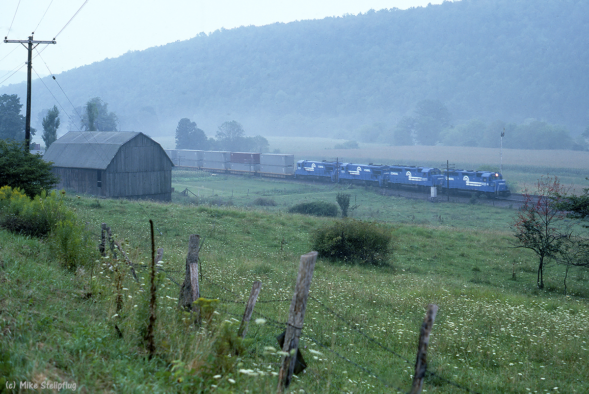
CR 3004 Barn

NS 36T @ Addison
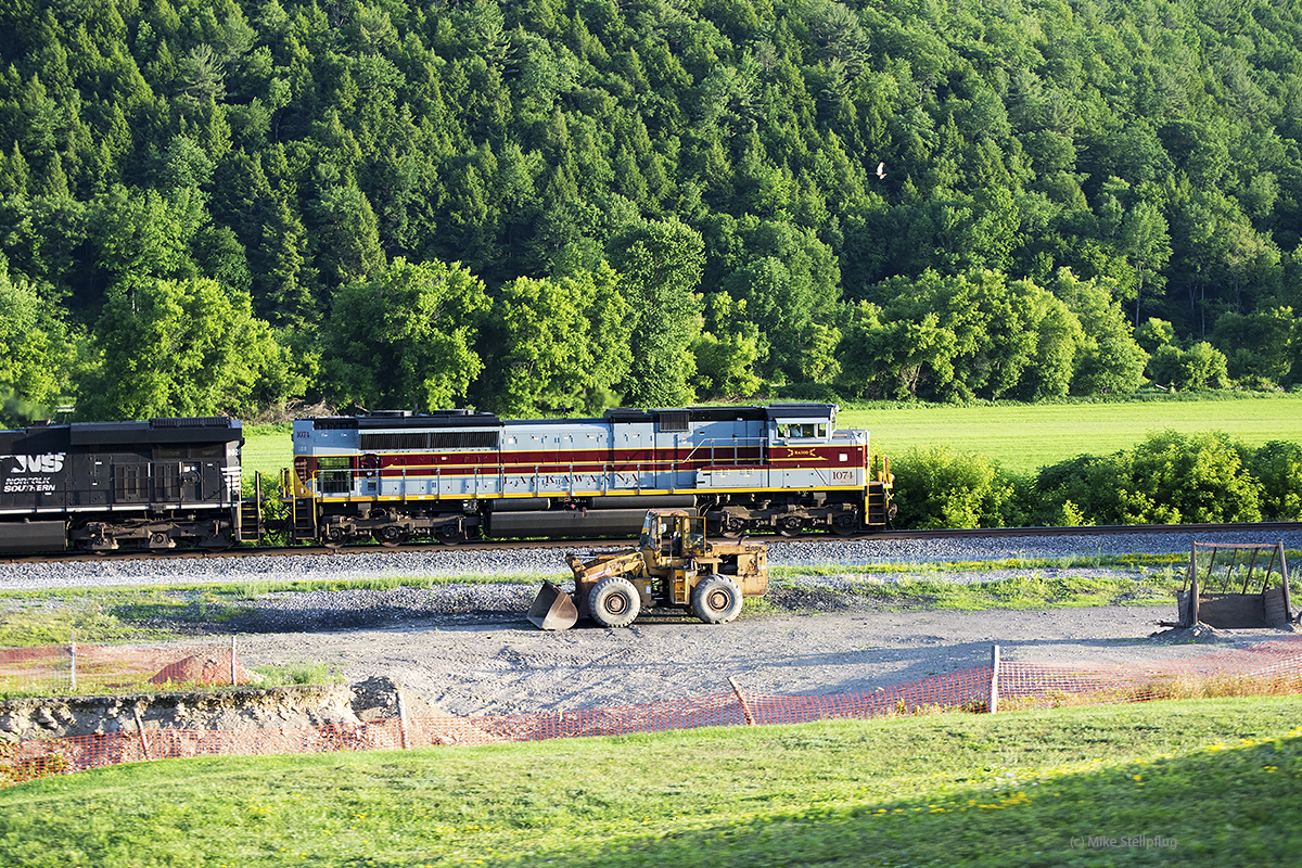
DLW 1074 pace
Ackerman Farm
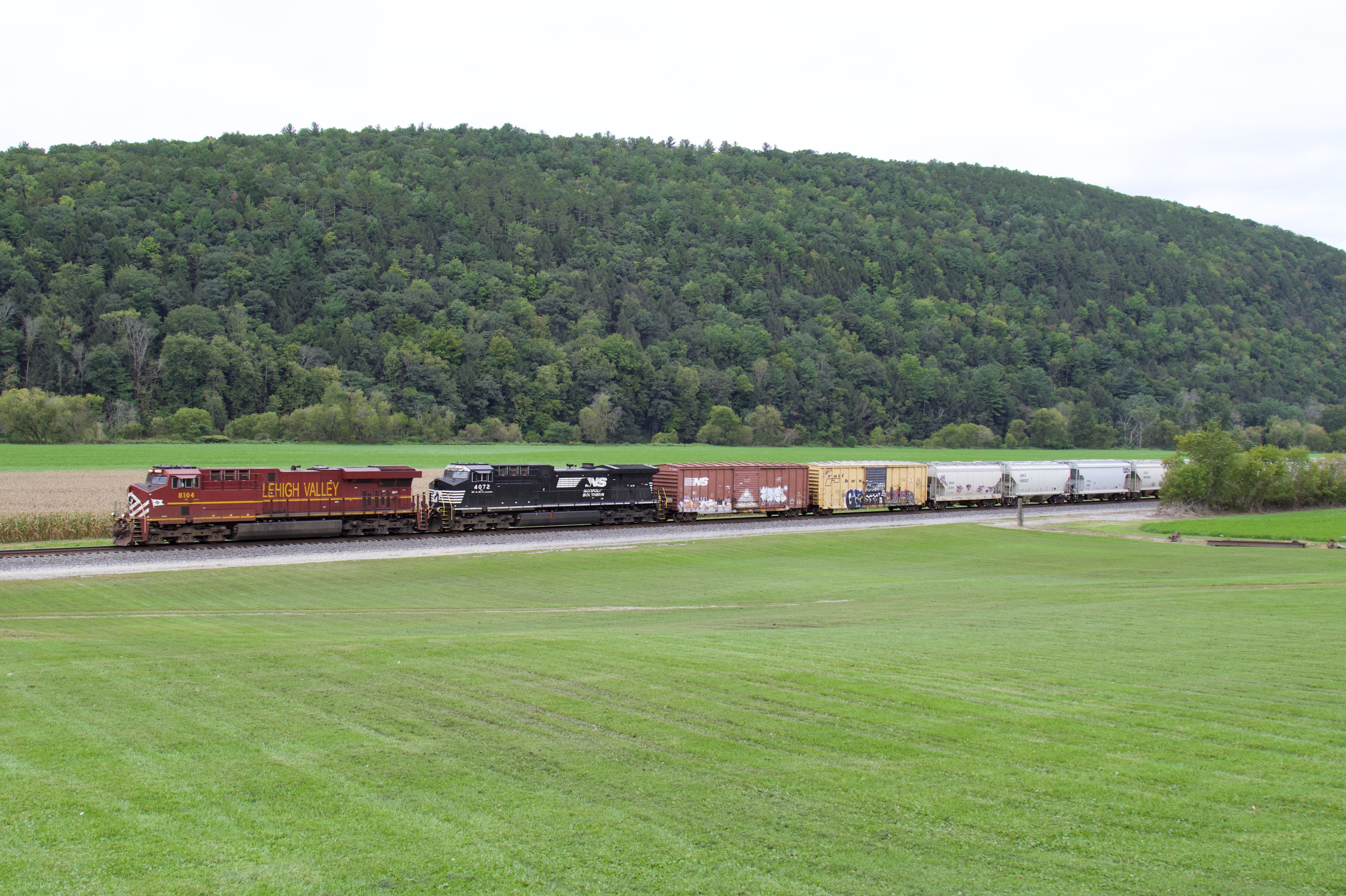
NS 8104
Cumulus Clouds
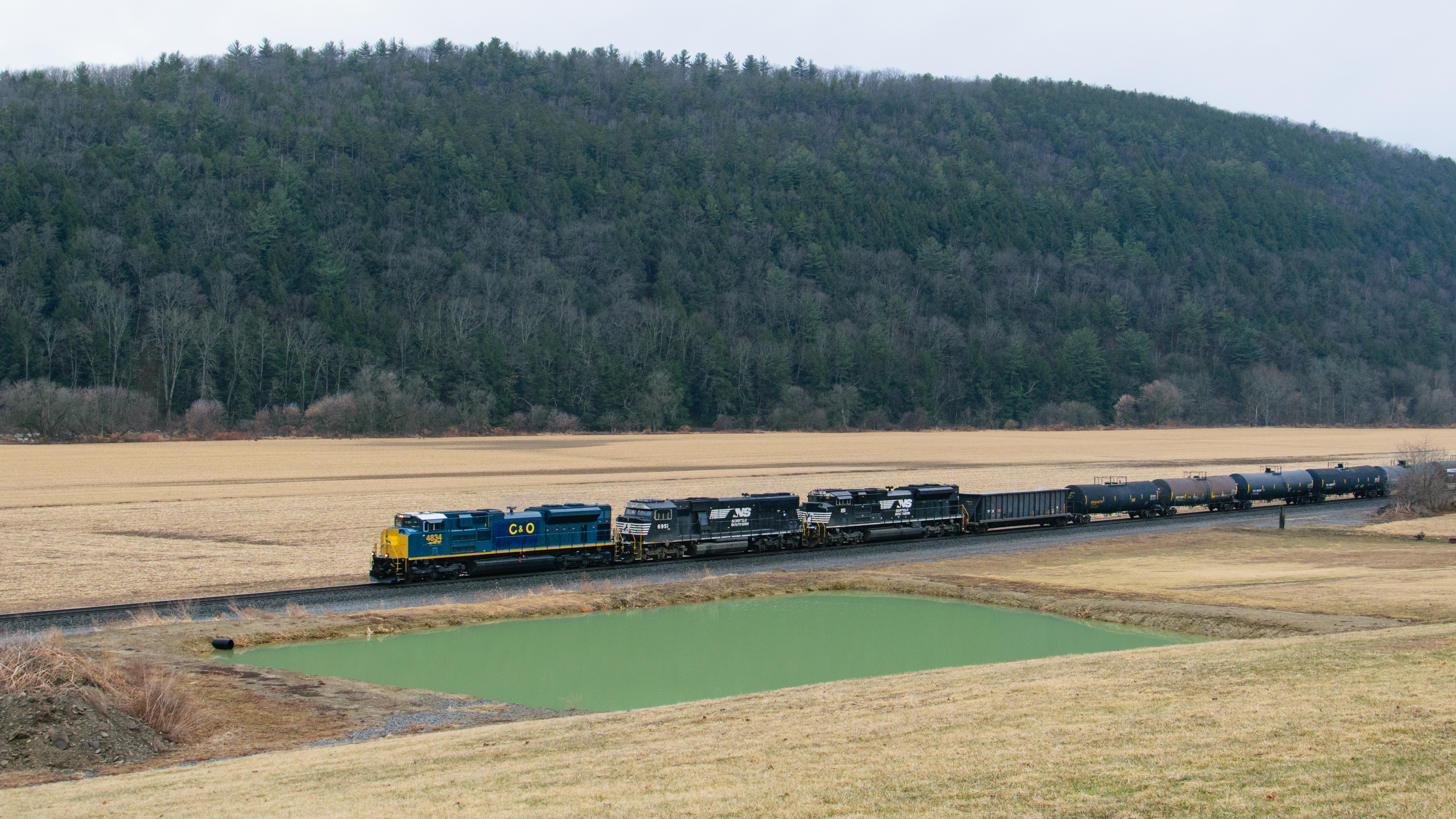
PRLX 4834 SD70ACe - 36T

Reflection (2)

Amish birth center

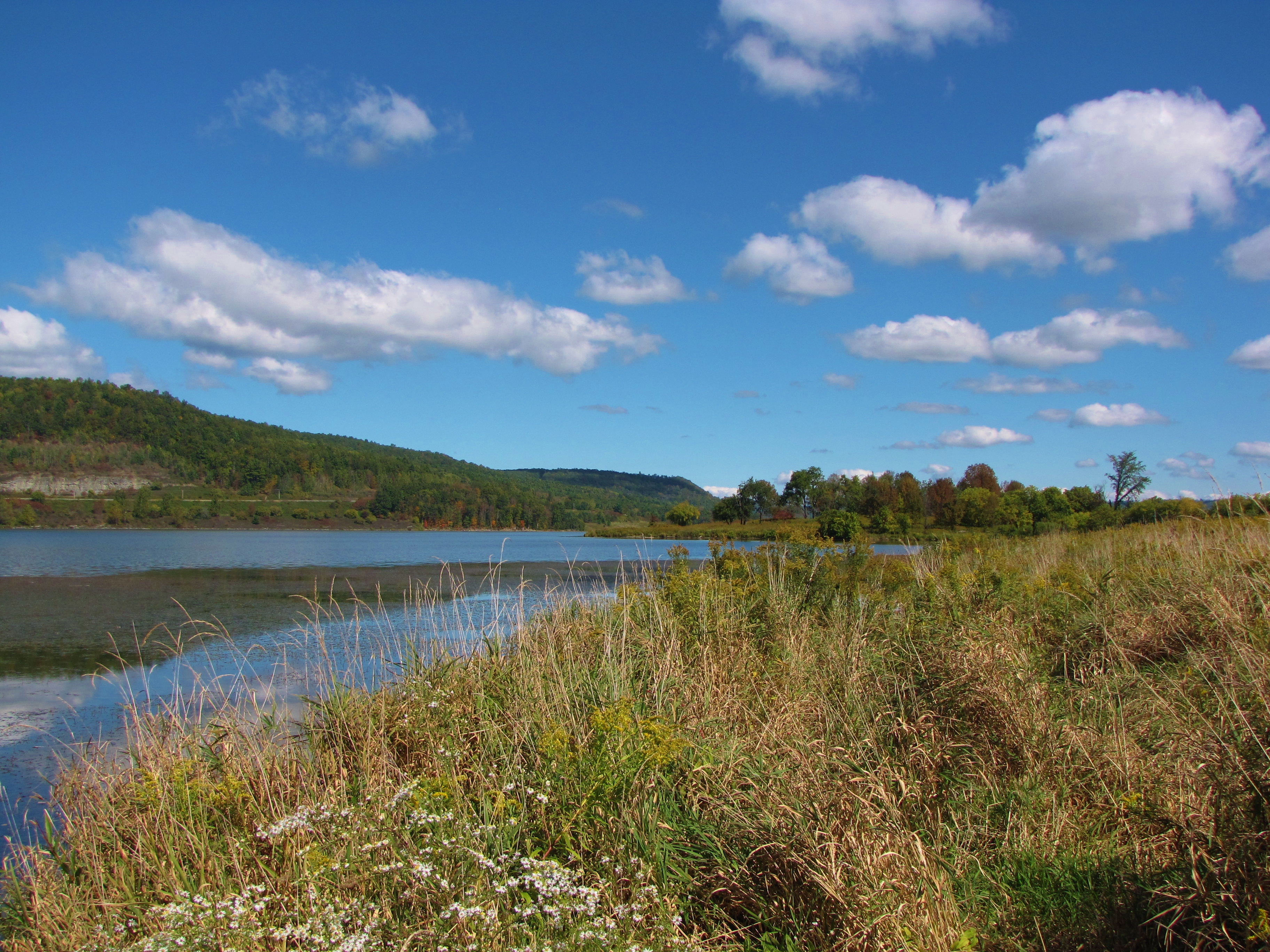
Cowanesque Lake (3)

13T, NS 8025

Camping Tompkins Cowanesque Lake
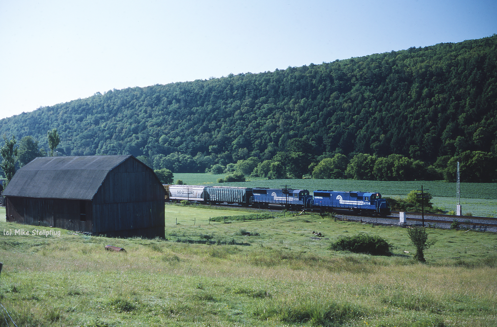
Conrail 6714 Barn
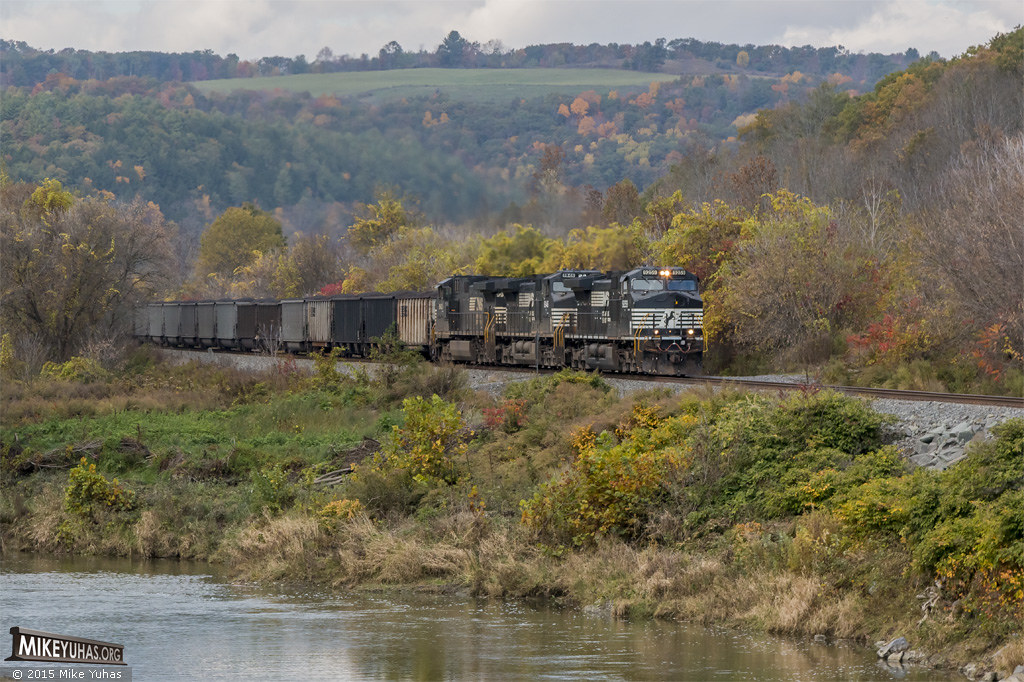
Canisteo Valley early autumn
Topographic Map of Holden Brook Rd, Osceola, PA, USA
Find elevation by address:

Places near Holden Brook Rd, Osceola, PA, USA:
Osceola Township
757 Tubbs Rd
721 Tubbs Rd
Osceola-kenneyville Road
Tubbs Road
107 Doan Rd
Deerfield Township
Doan Road
Knoxville
418 N Water St
105 Morehouse Rd
507 Dug Rd
Chatham Township
594 Blair Creek Rd
6578 Pa-249
PA-49, Westfield, PA, USA
3420 Potter Rd
455 Aseita Rd
E Main St, Westfield, PA, USA
Westfield
Recent Searches:
- Elevation of 24 Oakland Rd #, Scotland, ON N0E 1R0, Canada
- Elevation of Deep Gap Farm Rd E, Mill Spring, NC, USA
- Elevation of Dog Leg Dr, Minden, NV, USA
- Elevation of Dog Leg Dr, Minden, NV, USA
- Elevation of Kambingan Sa Pansol Atbp., Purok 7 Pansol, Candaba, Pampanga, Philippines
- Elevation of Pinewood Dr, New Bern, NC, USA
- Elevation of Mountain View, CA, USA
- Elevation of Foligno, Province of Perugia, Italy
- Elevation of Blauwestad, Netherlands
- Elevation of Bella Terra Blvd, Estero, FL, USA