Elevation of Morehouse Rd, Woodhull, NY, USA
Location: United States > New York > Steuben County > Woodhull >
Longitude: -77.454322
Latitude: 42.0030691
Elevation: 496m / 1627feet
Barometric Pressure: 96KPa
Elevation Map:
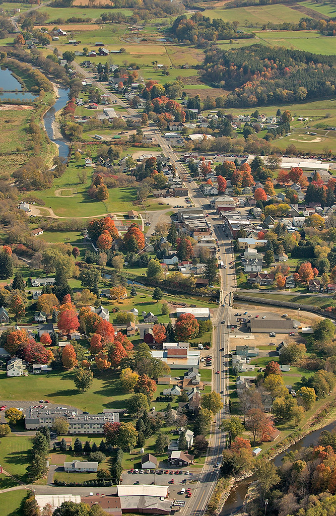
Satellite Map:
Related Photos:

Unlabeled ambrotype c. 1859, possibly Louisa Melvina (Countryman) June (1829-1920) and Elias C. June (1826-1891) of Jasper, New York

Ackley Hill

2011 october tioga westfield aerials

Amish birth center

green house north fork2-fdr

westfield hs-2
westfield-10

westfield-3

westfield-tioga-air-0507-265

Buffalo Trip-44
Topographic Map of Morehouse Rd, Woodhull, NY, USA
Find elevation by address:

Places near Morehouse Rd, Woodhull, NY, USA:
418 N Water St
Knoxville
Deerfield Township
3420 Potter Rd
PA-49, Westfield, PA, USA
Doan Road
6578 Pa-249
507 Dug Rd
453 Holden Brook Rd
107 Doan Rd
Osceola-kenneyville Road
721 Tubbs Rd
757 Tubbs Rd
Tubbs Road
Osceola Township
E Main St, Westfield, PA, USA
Westfield
Chatham Township
594 Blair Creek Rd
Maple St, Westfield, PA, USA
Recent Searches:
- Elevation of Congressional Dr, Stevensville, MD, USA
- Elevation of Bellview Rd, McLean, VA, USA
- Elevation of Stage Island Rd, Chatham, MA, USA
- Elevation of Shibuya Scramble Crossing, 21 Udagawacho, Shibuya City, Tokyo -, Japan
- Elevation of Jadagoniai, Kaunas District Municipality, Lithuania
- Elevation of Pagonija rock, Kranto 7-oji g. 8"N, Kaunas, Lithuania
- Elevation of Co Rd 87, Jamestown, CO, USA
- Elevation of Tenjo, Cundinamarca, Colombia
- Elevation of Côte-des-Neiges, Montreal, QC H4A 3J6, Canada
- Elevation of Bobcat Dr, Helena, MT, USA