Elevation of Dug Rd, Westfield, PA, USA
Location: United States > Pennsylvania > Tioga County > Chatham Township >
Longitude: -77.431648
Latitude: 41.903836
Elevation: 615m / 2018feet
Barometric Pressure: 94KPa
Elevation Map:
Satellite Map:
Related Photos:

With Some Signs of Clearing

Kind of a Gray Morning
Asaph Run Campground

Ackley Hill

IMG_5111 - Version 2
buck on druck hill
Flicker of Fire on Big Red

Camping with Reduced Lighting
Photo.2014.11.10 09.55.34
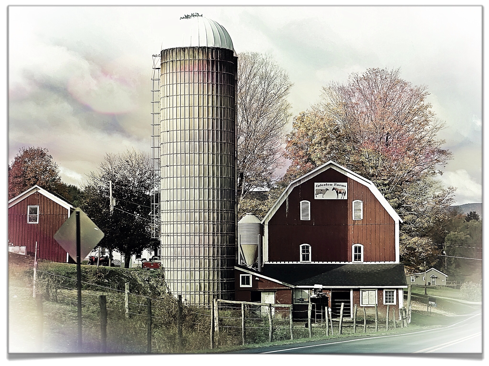
Another Farm
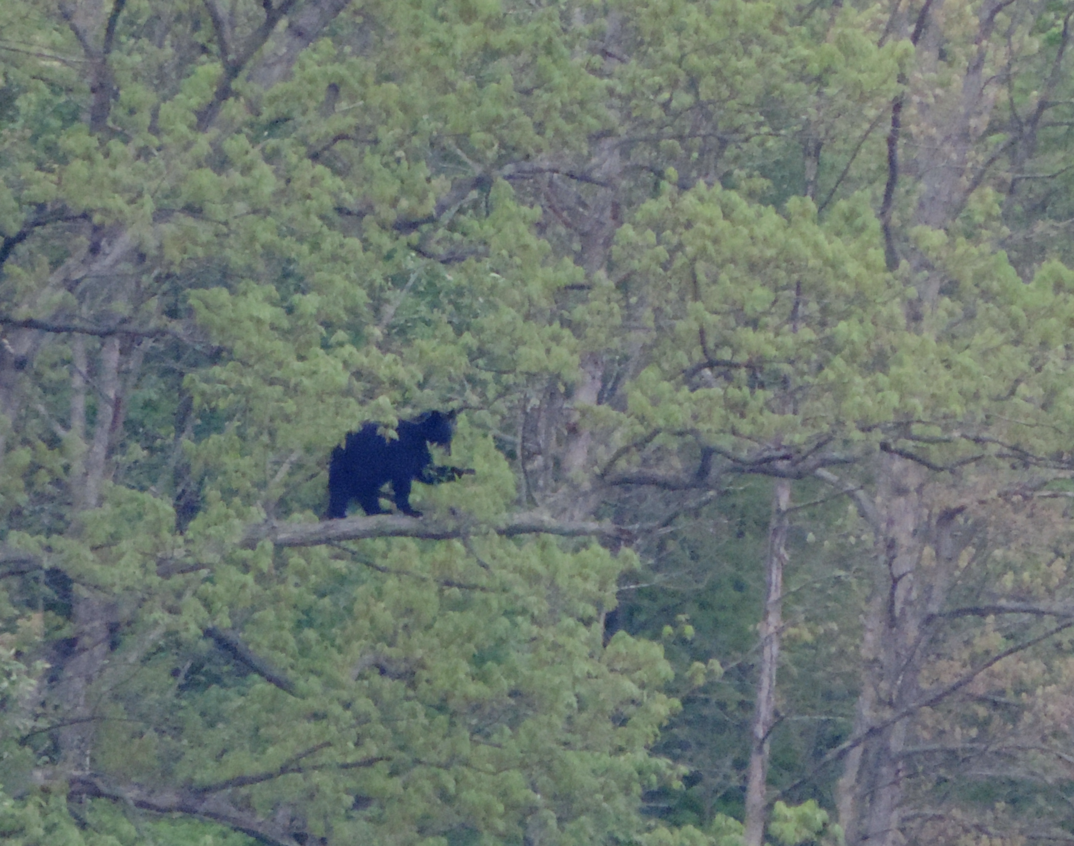
Black bear DSCN8275
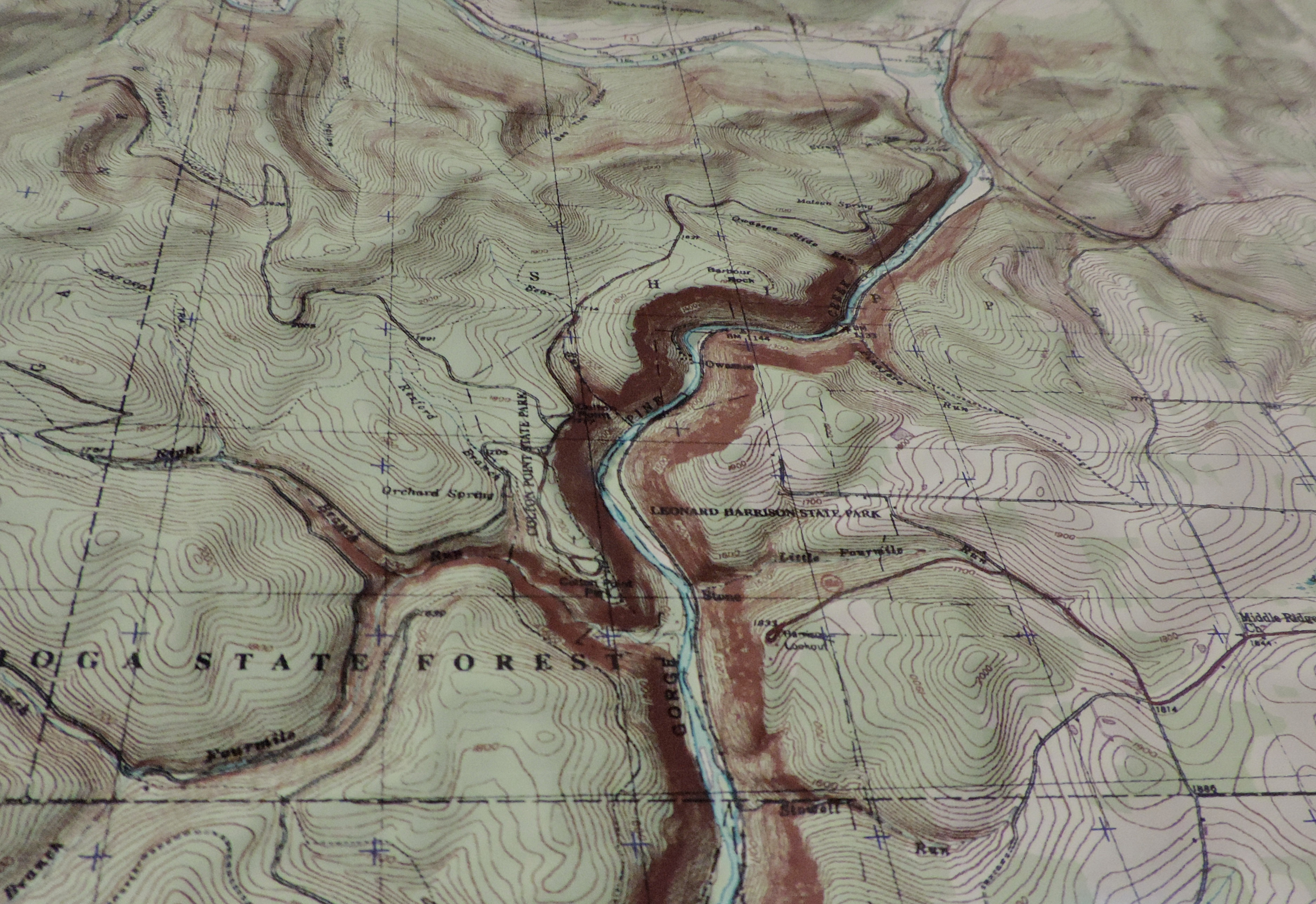
map DSCN7962

WCOR SB @ Middlebury
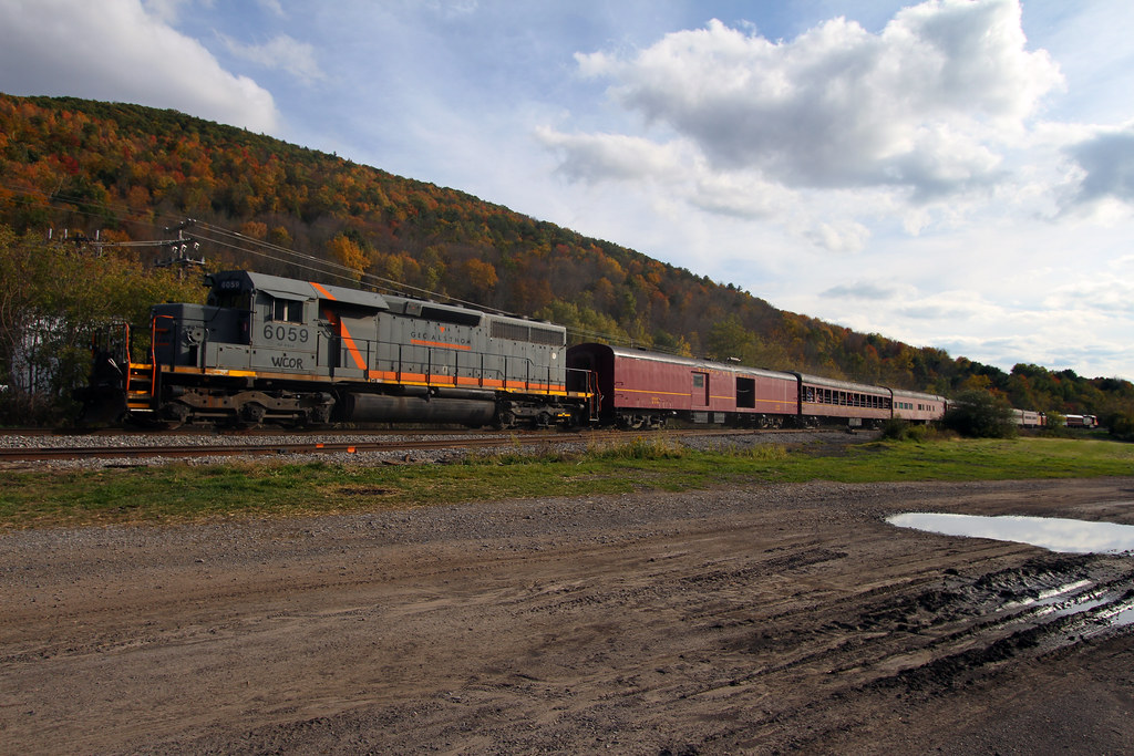
WCOR SB @ Middlebury

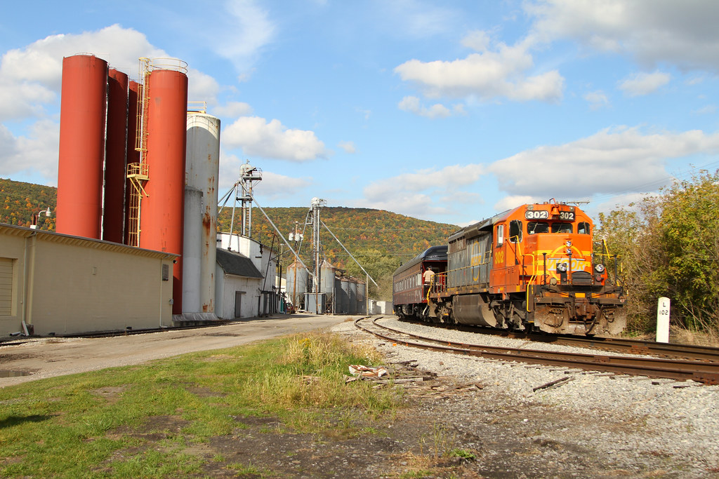
WCOR SB @ Wellsboro

WCOR SB @ Wellsboro
WCOR NB @ Middlebury

WCOR SB @ Middlebury

WCOR NB @ Middlebury
WCOR NB @ Middlebury
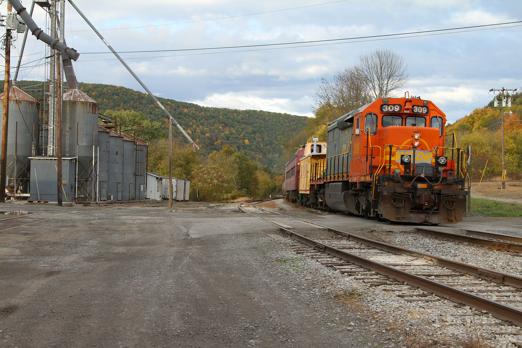
Leaving Yard Limits
Catlin Hollow Road

Xmas at our home 2012
Topographic Map of Dug Rd, Westfield, PA, USA
Find elevation by address:

Places near Dug Rd, Westfield, PA, USA:
Chatham Township
594 Blair Creek Rd
6578 Pa-249
Knoxville
Doan Road
Deerfield Township
418 N Water St
107 Doan Rd
PA-49, Westfield, PA, USA
455 Aseita Rd
Osceola-kenneyville Road
Tubbs Road
Maple St, Westfield, PA, USA
721 Tubbs Rd
105 Morehouse Rd
757 Tubbs Rd
E Main St, Westfield, PA, USA
Westfield
Osceola Township
453 Holden Brook Rd
Recent Searches:
- Elevation of Congressional Dr, Stevensville, MD, USA
- Elevation of Bellview Rd, McLean, VA, USA
- Elevation of Stage Island Rd, Chatham, MA, USA
- Elevation of Shibuya Scramble Crossing, 21 Udagawacho, Shibuya City, Tokyo -, Japan
- Elevation of Jadagoniai, Kaunas District Municipality, Lithuania
- Elevation of Pagonija rock, Kranto 7-oji g. 8"N, Kaunas, Lithuania
- Elevation of Co Rd 87, Jamestown, CO, USA
- Elevation of Tenjo, Cundinamarca, Colombia
- Elevation of Côte-des-Neiges, Montreal, QC H4A 3J6, Canada
- Elevation of Bobcat Dr, Helena, MT, USA