Elevation of PA-49, Westfield, PA, USA
Location: United States > Pennsylvania > Tioga County >
Longitude: -77.497016
Latitude: 41.93267
Elevation: 396m / 1299feet
Barometric Pressure: 97KPa
Elevation Map:
Satellite Map:
Related Photos:

buck on druck hill

Ackley Hill

green house north fork2-fdr

Frack Flare site 1

African Chess Set

photo 2 copy

Xmas at our home 2012
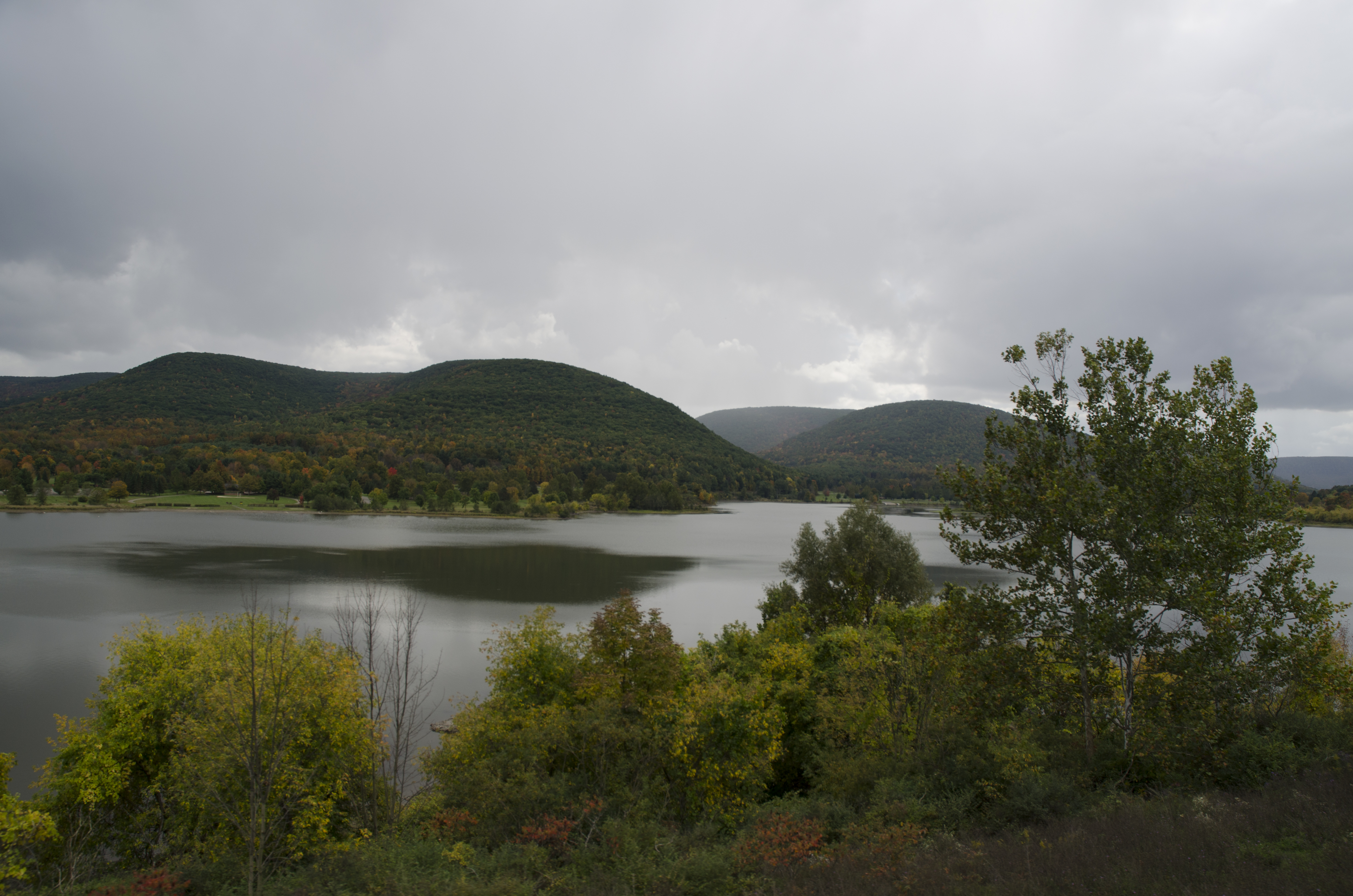
Hammond Lake, Tioga, PA
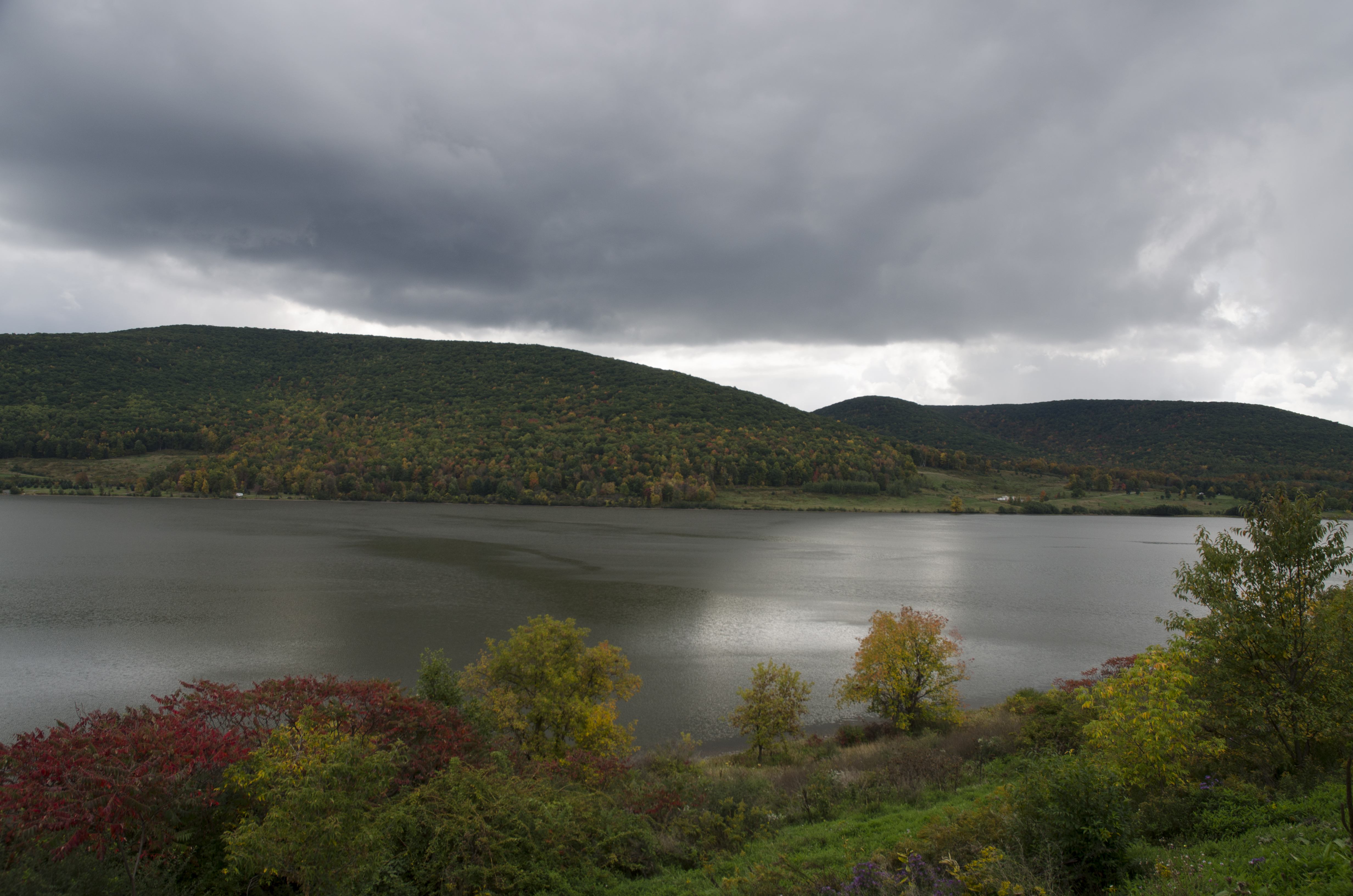
Hammond Lake, Tioga, PA

Stream interview 1
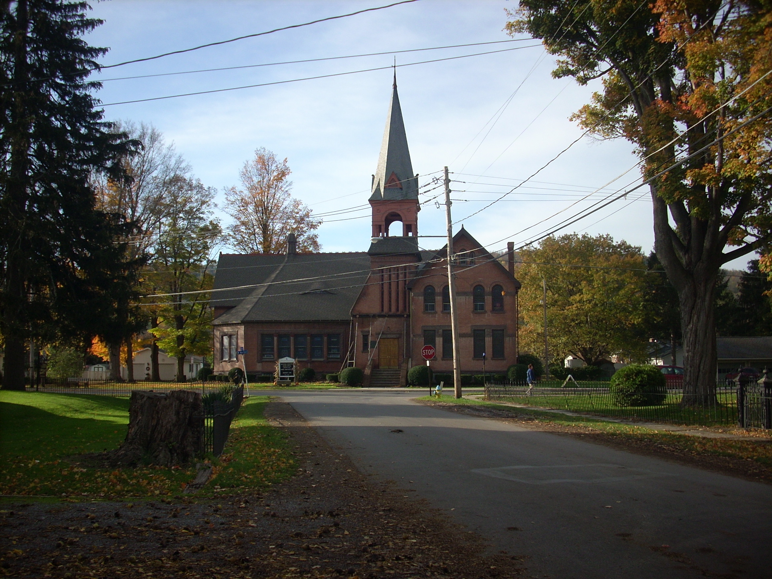
Parkhurst Presbyterian
Topographic Map of PA-49, Westfield, PA, USA
Find elevation by address:

Places near PA-49, Westfield, PA, USA:
6578 Pa-249
E Main St, Westfield, PA, USA
Westfield
Knoxville
418 N Water St
Maple St, Westfield, PA, USA
507 Dug Rd
3420 Potter Rd
105 Morehouse Rd
79 Pa-49
455 Aseita Rd
Clymer Township
Deerfield Township
Doan Road
594 Blair Creek Rd
Chatham Township
Butler Rd, Sabinsville, PA, USA
107 Doan Rd
Osceola-kenneyville Road
Tubbs Road
Recent Searches:
- Elevation of Corso Fratelli Cairoli, 35, Macerata MC, Italy
- Elevation of Tallevast Rd, Sarasota, FL, USA
- Elevation of 4th St E, Sonoma, CA, USA
- Elevation of Black Hollow Rd, Pennsdale, PA, USA
- Elevation of Oakland Ave, Williamsport, PA, USA
- Elevation of Pedrógão Grande, Portugal
- Elevation of Klee Dr, Martinsburg, WV, USA
- Elevation of Via Roma, Pieranica CR, Italy
- Elevation of Tavkvetili Mountain, Georgia
- Elevation of Hartfords Bluff Cir, Mt Pleasant, SC, USA