Elevation of 79 PA-49, Westfield, PA, USA
Location: United States > Pennsylvania > Tioga County > Westfield >
Longitude: -77.58384
Latitude: 41.913487
Elevation: 435m / 1427feet
Barometric Pressure: 96KPa
Elevation Map:
Satellite Map:
Related Photos:

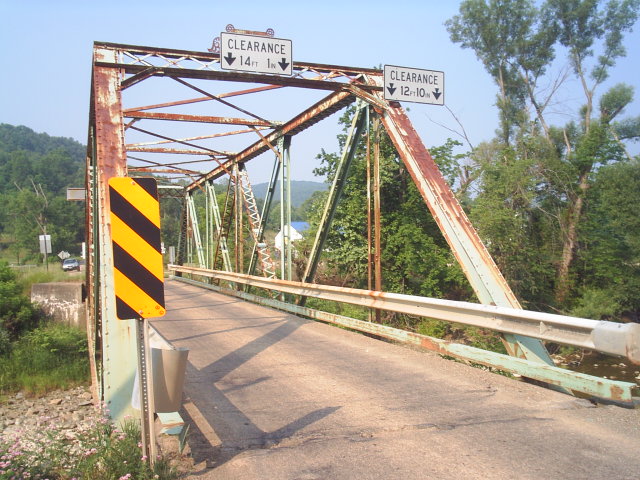
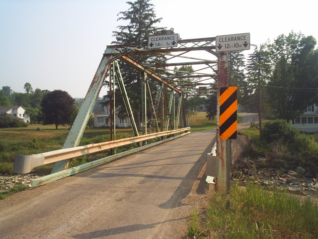
Ackley Hill
green house north fork2-fdr

buck on druck hill

Chevy 1
Picture 1727

Frack Flare site 1

Stream interview 2

Stream interview 2

Wood Turtle

African Chess Set

pumpkin man

Chevy 4

Chevy 3

5 Point

5 Point
Picture 1726
Picture 1725
Picture 1724
Picture 1723
Topographic Map of 79 PA-49, Westfield, PA, USA
Find elevation by address:

Places near 79 PA-49, Westfield, PA, USA:
Westfield
E Main St, Westfield, PA, USA
Butler Rd, Sabinsville, PA, USA
Maple St, Westfield, PA, USA
Clymer Township
PA-49, Westfield, PA, USA
Harrison Township
Hector Township
Forks Road
6578 Pa-249
3420 Potter Rd
455 Aseita Rd
418 N Water St
Knoxville
507 Dug Rd
105 Morehouse Rd
594 Blair Creek Rd
Chatham Township
Deerfield Township
Doan Road
Recent Searches:
- Elevation of Congressional Dr, Stevensville, MD, USA
- Elevation of Bellview Rd, McLean, VA, USA
- Elevation of Stage Island Rd, Chatham, MA, USA
- Elevation of Shibuya Scramble Crossing, 21 Udagawacho, Shibuya City, Tokyo -, Japan
- Elevation of Jadagoniai, Kaunas District Municipality, Lithuania
- Elevation of Pagonija rock, Kranto 7-oji g. 8"N, Kaunas, Lithuania
- Elevation of Co Rd 87, Jamestown, CO, USA
- Elevation of Tenjo, Cundinamarca, Colombia
- Elevation of Côte-des-Neiges, Montreal, QC H4A 3J6, Canada
- Elevation of Bobcat Dr, Helena, MT, USA