Elevation of Highview Dr, Redlands, CA, USA

Location: United States > California > San Bernardino County > Redlands > Live Oak Canyon >

Longitude: -117.10747

Latitude: 34.018899

Elevation: -10000m / -32808feet

Barometric Pressure: 295KPa

Elevation Map:

elevation map of Highview Dr, Redlands, CA, USA

Satellite Map:

Satellite map of Highview Dr, Redlands, CA, USA

Related Photos:

california autumn sunset sky storm fall clouds landscape countryside scenic hills valley morenovalley nortonyounglovereserve
Sunset Valley I
california sky field grass clouds landscape countryside spring hills inlandempire morenovalley
Spring Valley
california road street trees palms polaroid sx70 vanishingpoint row palm palmtrees 600 modified citrus oranges agriculture redlands pola polaroid600 groves lineout modded nofilter sunkist timezero landcamera builtin inlandempire polaroidsx70 sanbernardinocounty polaroid779 779 iso640 eyetwist sx70landcamera nond sx70lives sx70uses600or779 eyetwistkevinballuff northredlands
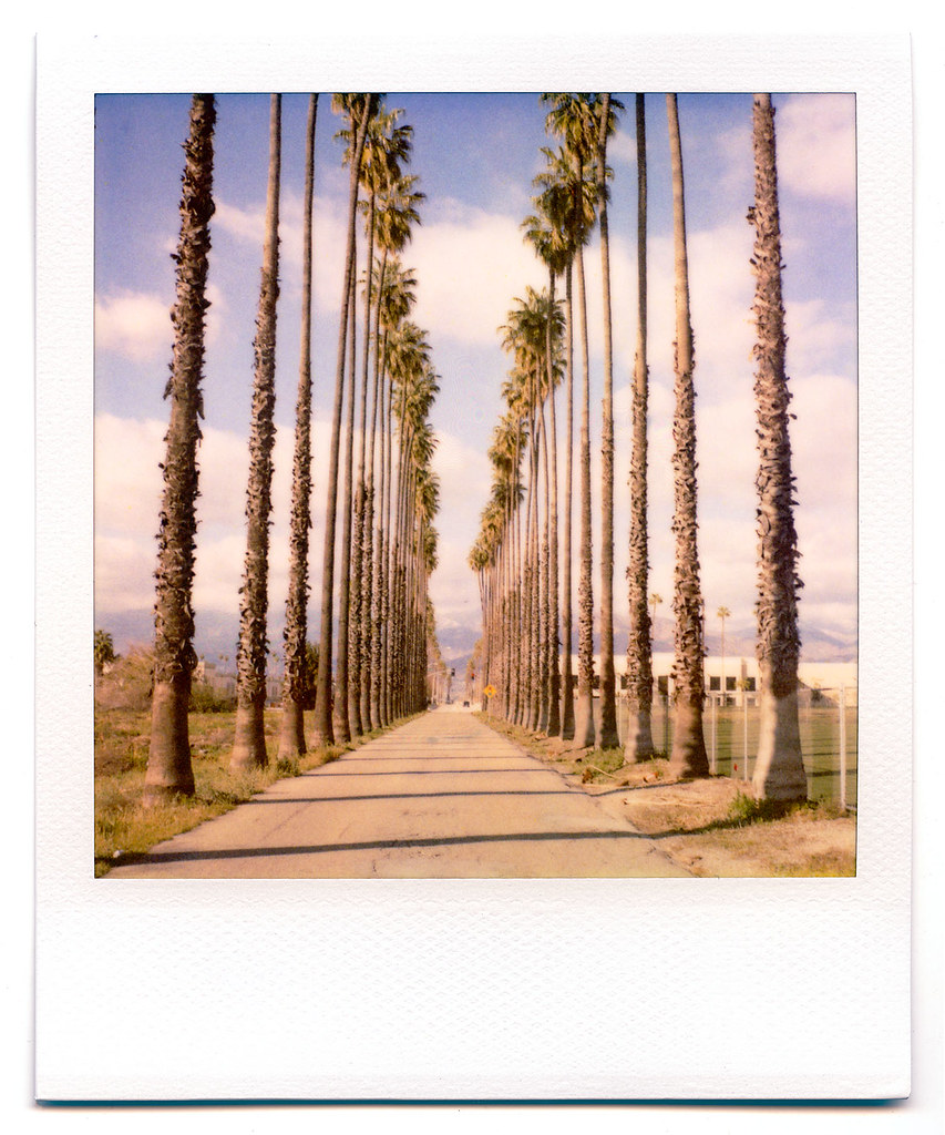
palm trees. north redlands, ca. 2011.
california camera signs postprocessed texture sign photoshop square concrete typography airport graphic eagle text letters norton sage bunker numbers signage type weathered airforce usaf processed vignette radar brac blockhouse typographic sanbernardino supersaturated inlandempire postprocessing reconaissance recon combatcamera lensblur secretrecipe digixpro eyetwist signaltonoise nortonafb prcssd eyetwistkevinballuff decomissionedairforcebase
prcssd. combat camera. san bernardino, ca. 2011.
sevenoaksdam santaanariver
Santa Ana River Valley
california trains casco redlands amtrakspecialprsgep30chpoochel
ATK 714E @ El Casco
scott ride canyon trail socal jedi redlands rivendell riv
little people in the nexus
california travel lake mountains unitedstates hills day1 miscellaneous lakeperris morenovalley project365 colorefexpro lakeperrisstaterecreationarea lookingouttheairplanewindow lookingoutsideplanewindow nikond800e lookingoutairplanewindow flightaustolax citygridpattern
Lake Perris, Surrounded by Hills and Mountains
california signs postprocessed texture sign photoshop fence square typography airport unitedstates graphic text letters norton chain numbers signage link type airforce usaf processed vignette waterbomber brac smokeythebear typographic sanbernardino supersaturated inlandempire postprocessing forestservice usfs lensblur secretrecipe digixpro eyetwist signaltonoise firebomber nortonafb prcssd airtankerbase eyetwistkevinballuff decomissionedairforcebase
prcssd. air tanker base. san bernardino, ca. 2011.
california usa southwest graffiti arch oldbuildings brickwork redlandsca inlandempire archeddoor dgrahamphoto
Arched Doorway, Redlands Alleys 10-27-13s
oakglenca pond reeds cattails reflection losriosranchos mountains winter apples orchards trees inlandempireca agriculture farming dgrahamphoto
Winter Pond, Oak Glen, CA 1-19-13
above ca travel blue sky terrain cloud holiday mountains building green window nature field weather plane airplane landscape fly nokia losangeles high airport day ray looking view desert bright earth aircraft aviation flight wing lakes houston atmosphere sunny aerial hills airline rivers land layer phonecamera airliner stratosphere sanbernardino birdeye lumia1020 nokialumia1020
Leaving San Bernardino - aerial view
sunrise trails hills mansion canyons redlandsca livinglarge carriagetrail santimoteocanyon redlandsconservancy dgrahamphoto
Living Large, Canyon View, Redlands 5-19-13
california ca favorite ford fave redlands canoneosdigitalrebelxt 2007 judson markshewmaker yourfavorite canonef50mmf18ii niftyfifty
View from Ford Hill, Redlands, CA
above ca travel blue sky terrain cloud holiday mountains building green window nature field weather plane airplane landscape fly nokia losangeles high airport day ray looking view desert bright earth aircraft aviation flight wing lakes houston atmosphere sunny aerial hills airline rivers land layer phonecamera airliner stratosphere sangabrielmountains birdeye lumia1020 nokialumia1020
Aerial view over San Gabriel Mountains
trees farms apples farmequipment countryliving appleorchards oakglenca snowlineorchard dgrahamphoto
Oak Glen, Apples, Snow-Line Orchard 6-
california up trains unionpacific railroads beaumont emd sd402 sd70m sunsetroute santimoteopass
Only the Best
california bird unitedstates wildlife northernshoveler nuevo canonef300mmf28lisusm canonef300mmf28lisusm20x
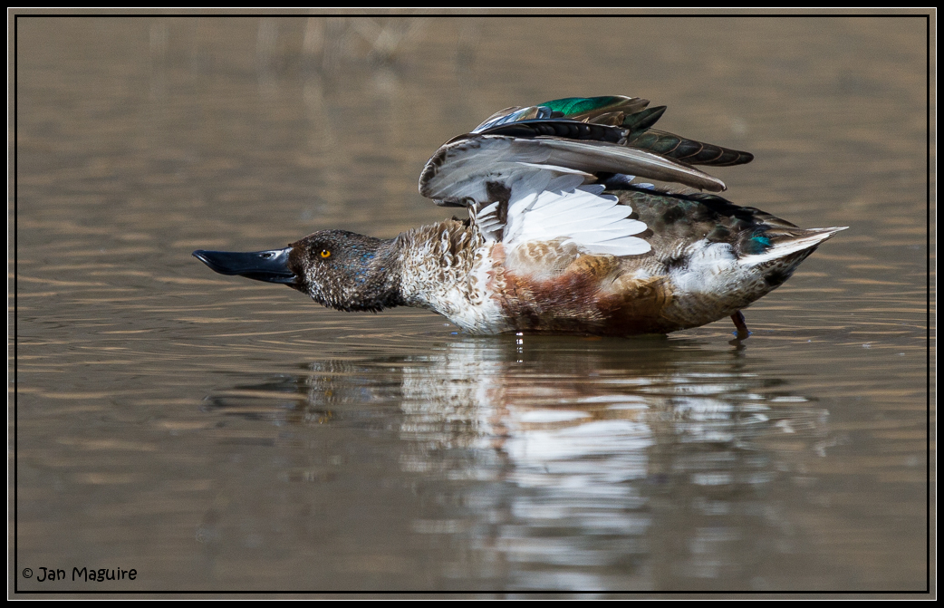
Northern Shoveler 4767
sevenoaksdam santaanariver
San Bernardino Valley
sunset selfportrait mountains nature birds landscape sitting cloudy farm horizon relaxing fields tres forever 365 agriculture wheatfield thecharlatans project365 inspiredbymusic humidday enjoytheview
Day 347/365: I know I'm going where the sun always shines (explored #328 on June 8, 2009)
california bird us unitedstates hawk wildlife raptor redtailed nuevo sanjacintowildlifearea
Red-tail 9070
millcreekcanyon sanbernardinonationalforest california photo digital spring canyon mountains mountsanbernardino
Mill Creek Canyon
Beaumont, California
california ca travel usa nature weather canon landscape photo interestingness google interesting photographer cloudy smoke extreme picture july clarity fullmoon explore flame socal adobe monsoon getty southerncalifornia firefighting firefighter hdr brushfire adjust morenovalley 2015 wildlandfire denoise 60d topazlabs calfire vegetationfire photographersnaturecom davetoussaint riversidecountyfiredepartment photoshopcc merwinfire
Fire under a Full Moon
inlandempire california usa landscapes sangabrielmountains mtbaldy snowinmountains redlands colton sanbernardino fontana ranchocucamonga dgrahamphoto
San Gabriel Mountains over Inland Empire, CA 2016 (In EXPLORE)
storm clouds sky tree pond reflection sanjacintowildlifearea california landscape
Storm Tree
sunset lake reflection grass clouds pond lagoon hills bog sanjacinto sanjacintowildlifearea
Summer Splendor
jackrabbittrail road hills green spring storm godbeams countryside california landscape
Jack Rabbit Trail Road
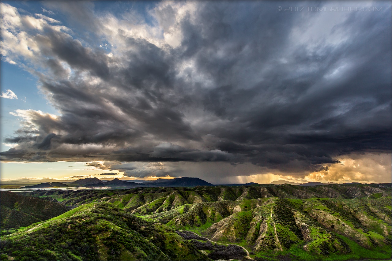
jackrabbittrail trail hills green spring clouds storm rain countryside california landscape
Jack Rabbit Storm
storm clouds sky tree pond reflection sanjacintowildlifearea california landscape
Twilight Pond
field farm countryside gorge chasm ravine tumbleweeds spring grass storm clouds morenovalley california landscape
Lumonitious Landscape
jackrabbittrail trail hills green spring storm countryside california landscape
Spring Trail II
redlandsca snow mountains dgrahamphoto usa landscapes sangabrielmountains mtbaldy palmtrees orangegroves snowonmountains christmasmorning2016
Palms, Oranges and San Gabriel Mountains, CA Christmas 2016
california storm field grass clouds landscape countryside spring farm ravine gorge tumbleweeds chasm morenovalley
Spring Valley Gorge
longexposure flowers mountains field clouds creek river landscape countryside stream earth hills wildflowers cracked hoya sanjacinto ndx400 sanjacintowildlifearea tomgrubbe tomgrubbecom
Stream Through Time II
spring grass hills clouds storm lakeperris morenovalley nortonyounglovereserve longexposure californialandscape
New Season
jackrabbittrail trail hills green spring storm countryside california landscape
Spring Trail
california grass clouds landscape spring dry lakeview barren crackedearth sanjacintowildlifearea
Earth and Grass
california sky lake clouds dark landscape twilight dusk hills lakeview morenovalley sanjacintowildlifearea
Twilight Hills
california storm clouds landscape desert earth perspective drought crackedearth sanjacintowildlifearea focusblend
Underworld II