Elevation of Mira Mesa Dr, Yucaipa, CA, USA
Location: United States > California > San Bernardino County > Yucaipa >
Longitude: -117.07170
Latitude: 34.0277447
Elevation: 712m / 2336feet
Barometric Pressure: 93KPa
Elevation Map:
Satellite Map:
Related Photos:

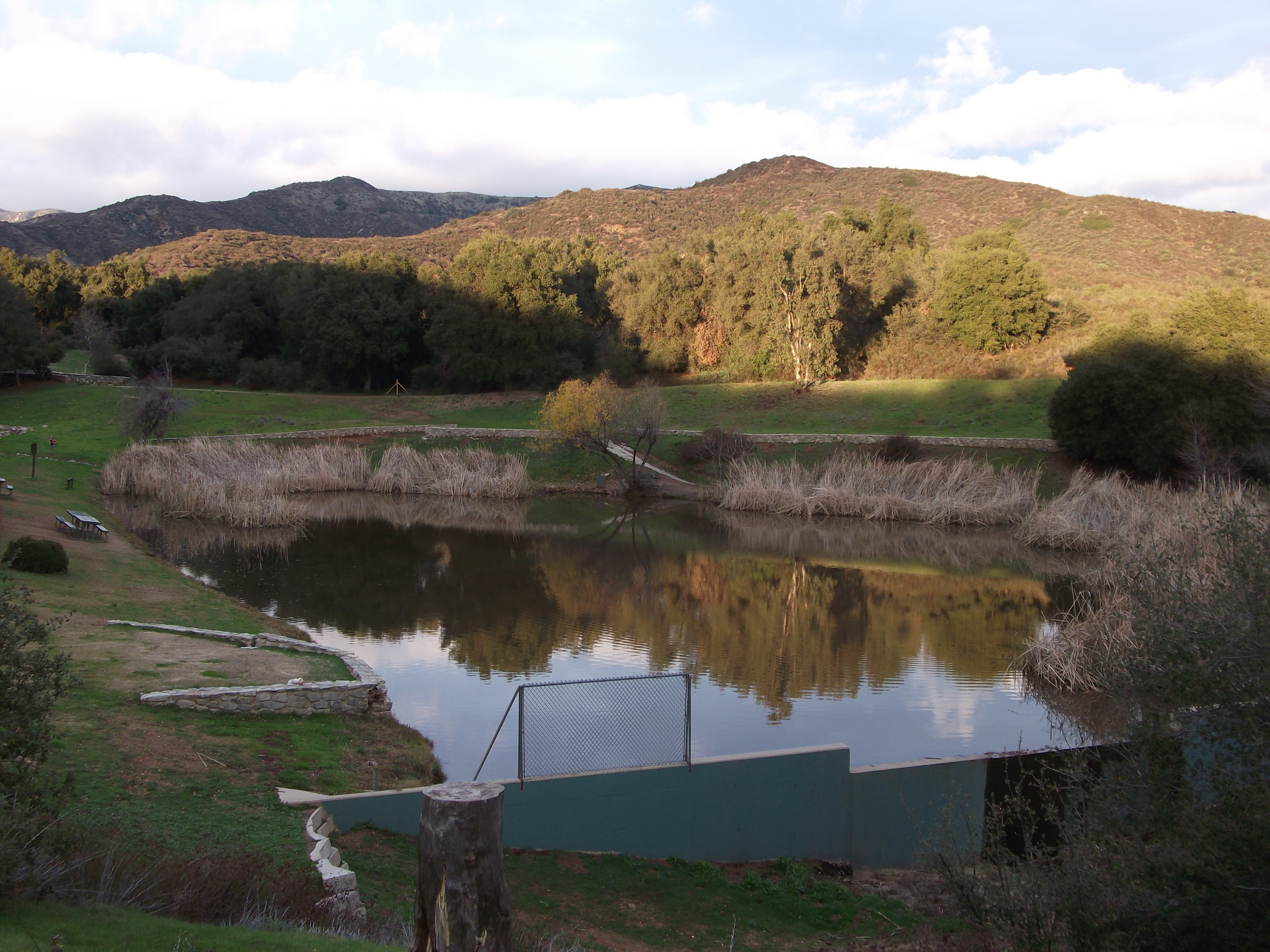
Sunset Valley I

View from Buff Rd LE

Bogart Park_0068

Shooting Spot in the Hills

the view from here [7:52]
Bogart Park_0069
Bogart Park_0070
San Timoteo Canyon, Redlands, CA 8-2011
Bogart Park_0066

Spring Valley

Panorama View

prcssd. combat camera. san bernardino, ca. 2011.

ATK 714E @ El Casco

Santa Ana River Valley

sunny rear view

Back From the Desert

Bogart Park_0059

What a view this morning!

Not Too Shabby

Bogart Park_0041

Original to these lands.

San Timoteo Nature Trail

palm trees. north redlands, ca. 2011.

UP 7492

Twilight Rocks and Stream

Mill Creek Canyon

Mill Creek and Storm III

Mill Creek - Mentone, CA, USA

Morey Mansion of Redlands

Sunsets are beautiful

Fire under a Full Moon II

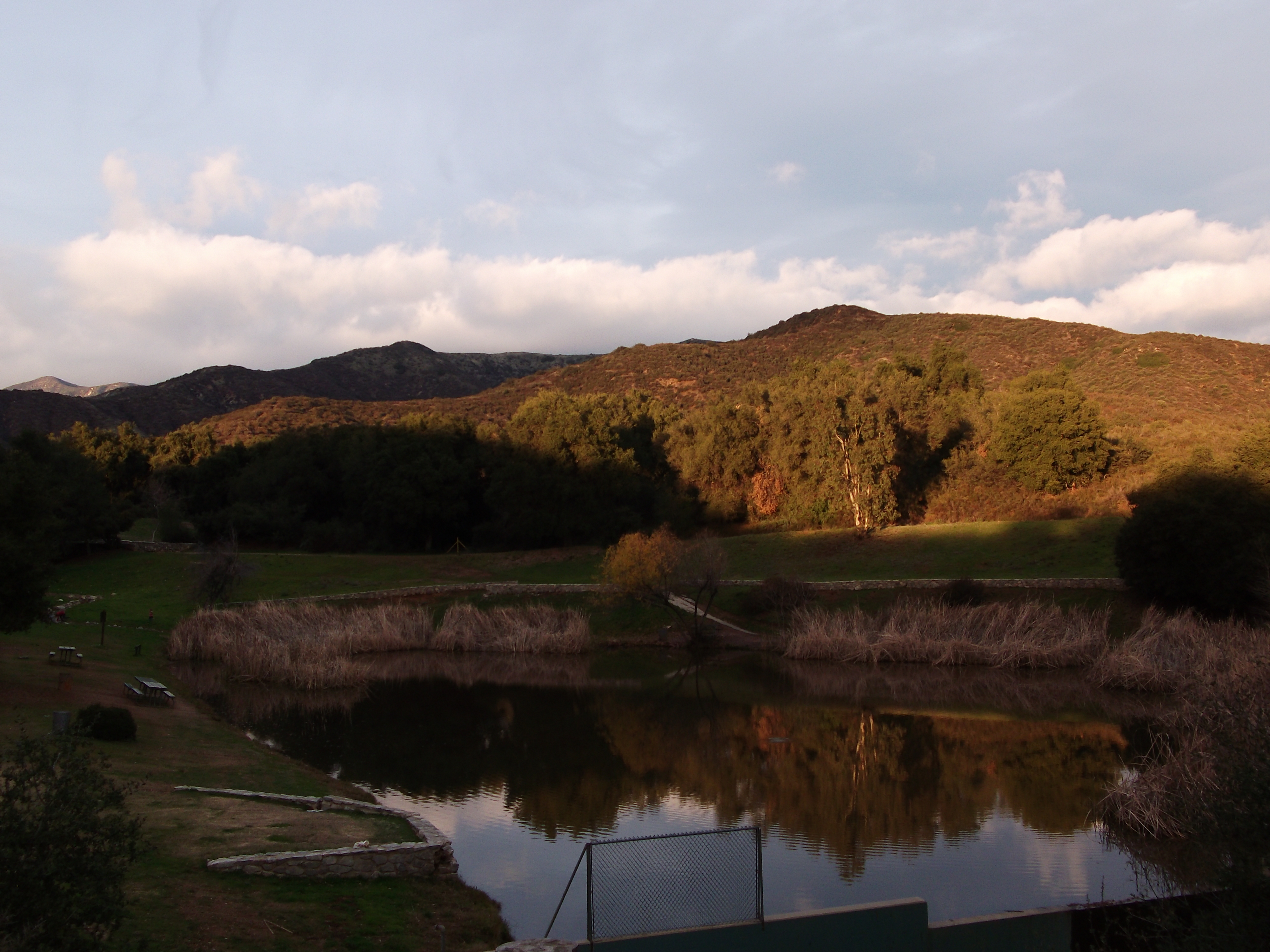
Sunset Valley II

Summer Pond

Valley View
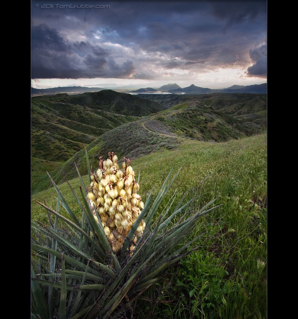
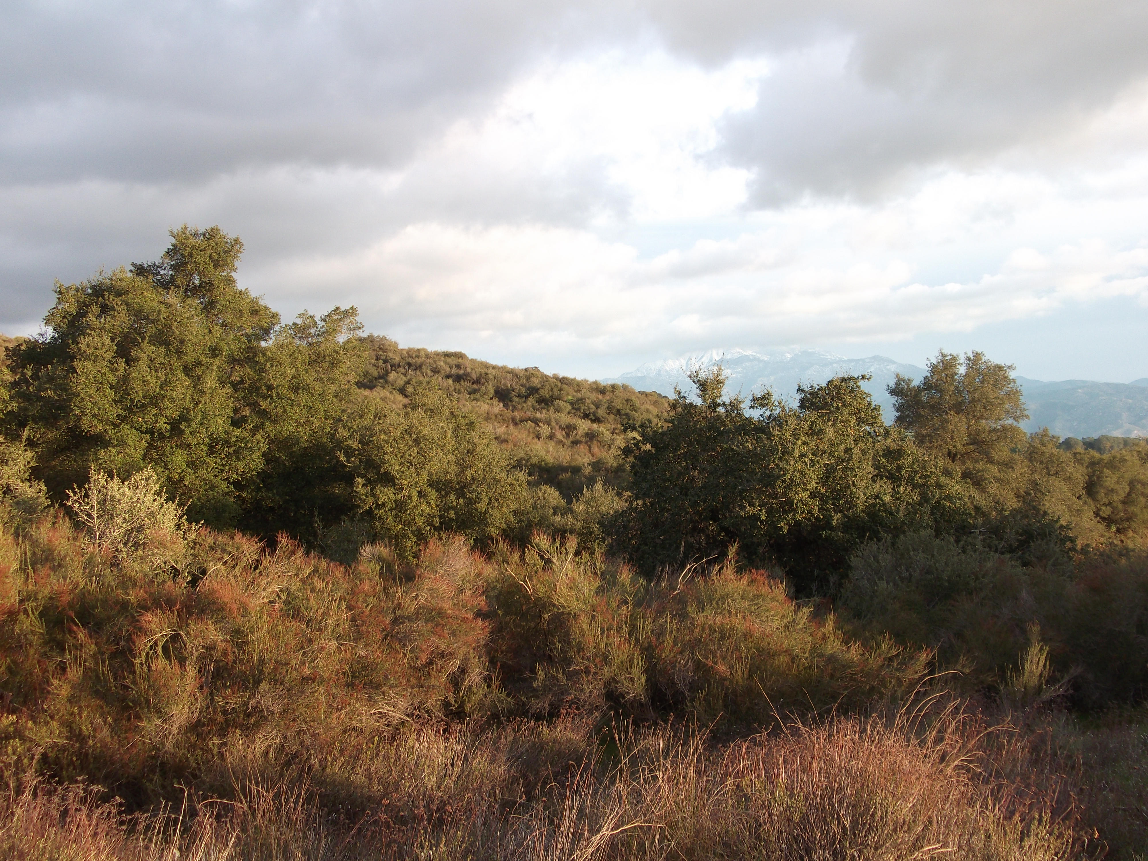
Yucca Plant and Storm
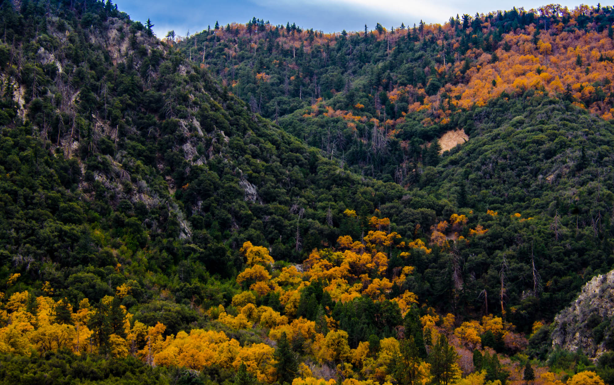
Orange and Green - San Bernardino National Forest, CA, USA

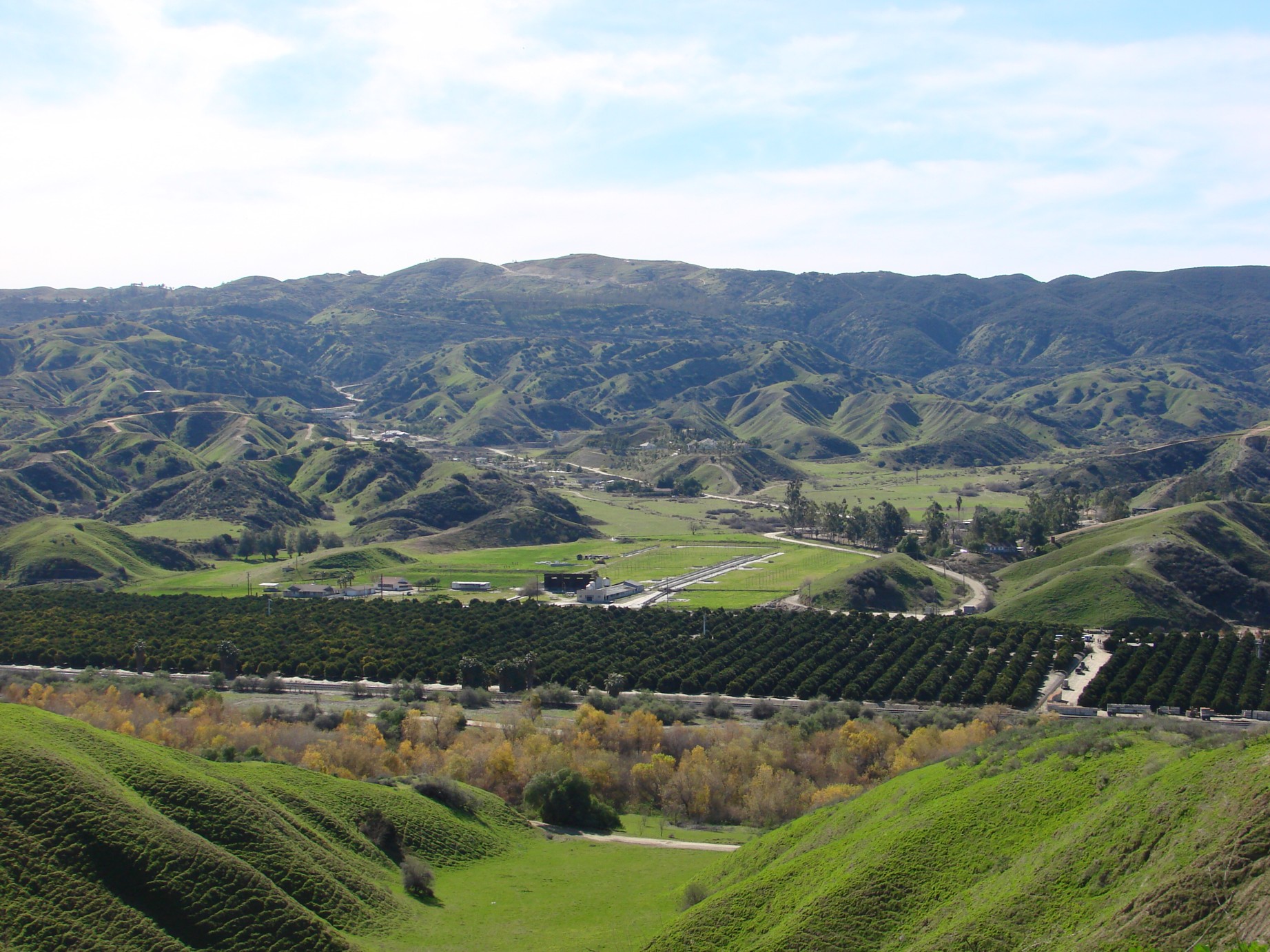
San Bernardino Valley
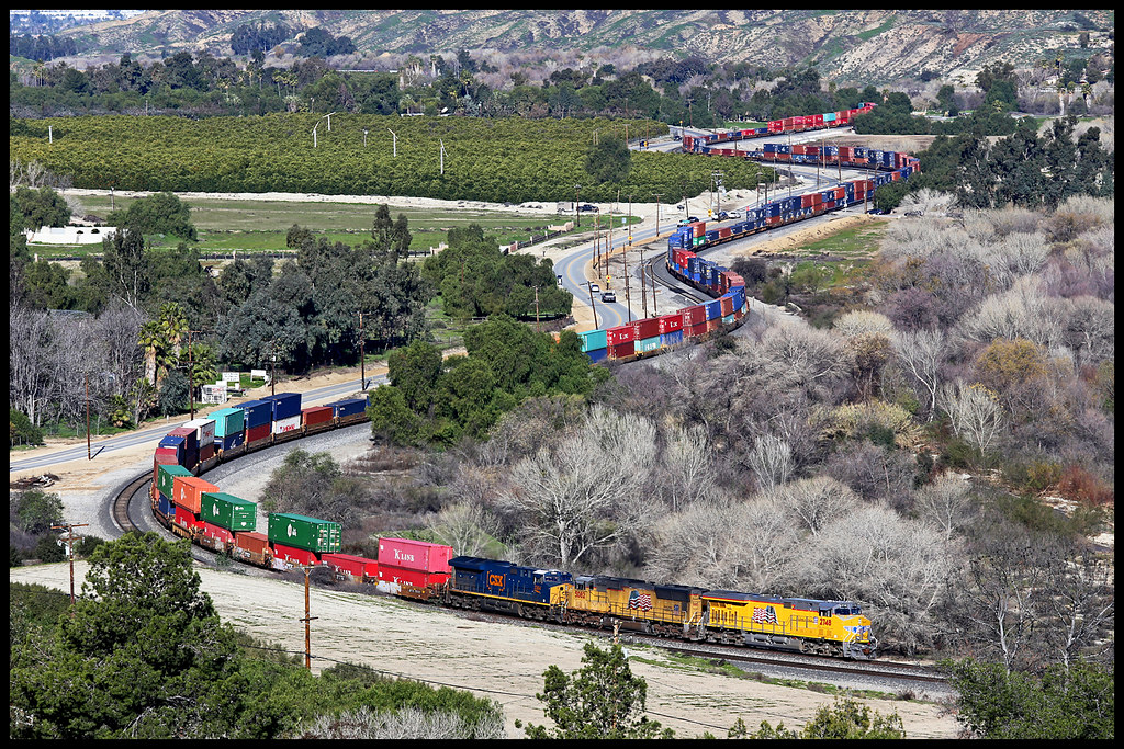
UP 2748

Winter Pond, Oak Glen, CA 1-19-13
Topographic Map of Mira Mesa Dr, Yucaipa, CA, USA
Find elevation by address:

Places near Mira Mesa Dr, Yucaipa, CA, USA:
12436 Cape Ln
33557 Pecan Ave
33630 Pecan Ave
33596 Washington Dr
33598 Washington Dr
33491 Rosemond St
Yucaipa Boulevard
12241 10th St
Cienega Drive Trail
33227 Lotus Ave
12918 Brooks Ln
33538 Marshall Rd
33411 Miners Dr
12563 12th St
11748 Clarion Ct
32740 Avenue E
13th Street
12783 14th St
12357 Ross Pl
12357 Ross Pl
Recent Searches:
- Elevation of Kambingan Sa Pansol Atbp., Purok 7 Pansol, Candaba, Pampanga, Philippines
- Elevation of Pinewood Dr, New Bern, NC, USA
- Elevation of Mountain View, CA, USA
- Elevation of Foligno, Province of Perugia, Italy
- Elevation of Blauwestad, Netherlands
- Elevation of Bella Terra Blvd, Estero, FL, USA
- Elevation of Estates Loop, Priest River, ID, USA
- Elevation of Woodland Oak Pl, Thousand Oaks, CA, USA
- Elevation of Brownsdale Rd, Renfrew, PA, USA
- Elevation of Corcoran Ln, Suffolk, VA, USA