Elevation of Cape Ln, Yucaipa, CA, USA

Location: United States > California > San Bernardino County > Yucaipa >

Longitude: -117.07130

Latitude: 34.027644

Elevation: -10000m / -32808feet

Barometric Pressure: 295KPa

Elevation Map:

elevation map of Cape Ln, Yucaipa, CA, USA

Satellite Map:

Satellite map of Cape Ln, Yucaipa, CA, USA

Related Photos:

california autumn sunset sky storm fall clouds landscape countryside scenic hills valley morenovalley nortonyounglovereserve
Sunset Valley I
road longexposure snow mountains clouds landscape hills southerncalifornia banning inlandempire sangorgonio ndx00
View from Buff Rd LE
california up trains unionpacific railroads beaumont emd sd402 sd70m sunsetroute santimoteopass
Only the Best
california sky field grass clouds landscape countryside spring hills inlandempire morenovalley
Spring Valley
california road street trees palms polaroid sx70 vanishingpoint row palm palmtrees 600 modified citrus oranges agriculture redlands pola polaroid600 groves lineout modded nofilter sunkist timezero landcamera builtin inlandempire polaroidsx70 sanbernardinocounty polaroid779 779 iso640 eyetwist sx70landcamera nond sx70lives sx70uses600or779 eyetwistkevinballuff northredlands
palm trees. north redlands, ca. 2011.
sevenoaksdam santaanariver
San Bernardino Valley
sunset selfportrait mountains nature birds landscape sitting cloudy farm horizon relaxing fields tres forever 365 agriculture wheatfield thecharlatans project365 inspiredbymusic humidday enjoytheview
Day 347/365: I know I'm going where the sun always shines (explored #328 on June 8, 2009)
california bird us unitedstates hawk wildlife raptor redtailed nuevo sanjacintowildlifearea
Red-tail 9070
aerial aerialview california commercialflight dam flight governmentcanyon houstontolosangeles iahtolax river santaanariver sevenoaksdam united unitedairlines vacation vacationdestination windowseat zeesstof
7 Oaks Dam
sevenoaksdam santaanariver
Santa Ana River Valley
sevenoaksdam santaanariver
Seven Oaks Dam
Redlands, CA
california trains casco redlands amtrakspecialprsgep30chpoochel
ATK 714E @ El Casco
california up trains sp unionpacific southernpacific sd45 emd sd402 elcasco sd40 gp60 santimoteocanyon
Not Too Shabby
longexposure mountains grass landscape countryside spring farm scenic hills valley hoya morenovalley ndx400 nortonyounglovereserve tomgrubbe tomgrubbecom
Valley View II
Early Morning View
california travel lake mountains unitedstates hills day1 miscellaneous lakeperris morenovalley project365 colorefexpro lakeperrisstaterecreationarea lookingouttheairplanewindow lookingoutsideplanewindow nikond800e lookingoutairplanewindow flightaustolax citygridpattern
Lake Perris, Surrounded by Hills and Mountains
mountains creek nikon flickr with valley friendly hikes millcreekcanyon sanbernadino googleimages bernadino forestfalls friendlydog fallsmill sanbernadinomountains yahooimages forestdog canyonforest bingimages dogsnational nikond5100 swazileigh fallssan fallsbig valleyoffalls mountainsfallsgreenwaterwaterfallwaterfallshikehikingmountainhiking
1 of (7) LOWER Falls- Valley of Falls, Mill Creek Canyon, San Bernadino Mountains
grass tom landscape countryside farm scenic hills valley canon5d morenovalley canon28135 grubbe tomgrubbe
Valley View
california trees light bw sun white black rain weather clouds high afternoon dynamic lightning storms range thunder redlands hdr yucaipa oakglen
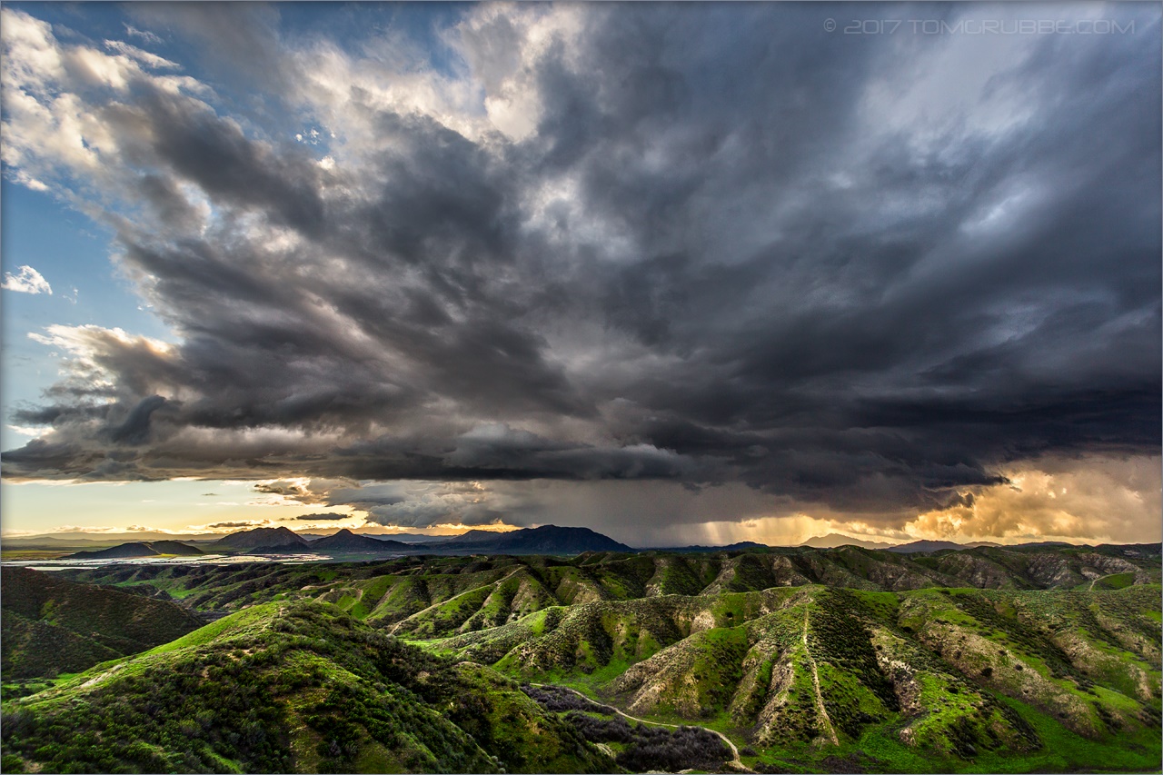
The Storms of Late Summer
ca trains sp coachella santimoteo funits
Back From the Desert
el casco california unitedstates us beaumont hill up union pacific yuma subdivision sub train coal railroad locomotive socal southern
Snaking Up Beaumont
millcreekcanyon sanbernardinonationalforest california photo digital spring canyon mountains mountsanbernardino
Mill Creek Canyon
Lush Hills
Beaumont, California
sanbernardinonationalforest mountainhome california photo digital spring canyon mountains landscape
Mill Creek Canyon
up union pacific sp southern sunset route yuma subdivision beaumont hill ordway san timoteo canyon gorgonio pass
UP 2748
california ca travel usa nature weather canon landscape photo interestingness google interesting photographer cloudy smoke extreme picture july clarity fullmoon explore flame socal adobe monsoon getty southerncalifornia firefighting firefighter hdr brushfire adjust morenovalley 2015 wildlandfire denoise 60d topazlabs calfire vegetationfire photographersnaturecom davetoussaint riversidecountyfiredepartment photoshopcc merwinfire
Fire under a Full Moon
inlandempire california usa landscapes sangabrielmountains mtbaldy snowinmountains redlands colton sanbernardino fontana ranchocucamonga dgrahamphoto
San Gabriel Mountains over Inland Empire, CA 2016 (In EXPLORE)
storm clouds sky tree pond reflection sanjacintowildlifearea california landscape
Storm Tree
sunset lake reflection grass clouds pond lagoon hills bog sanjacinto sanjacintowildlifearea
Summer Splendor
jackrabbittrail road hills green spring storm godbeams countryside california landscape
Jack Rabbit Trail Road
jackrabbittrail trail hills green spring clouds storm rain countryside california landscape
Jack Rabbit Storm
california snow mountains creek forest river landscape stream millcreek forestfalls
Snow Creek
california up san pacific hill union el canyon casco yuma beaumont subdivision timoteo sd70ace c45accte zmqlc
UP 7492
field farm countryside gorge chasm ravine tumbleweeds spring grass storm clouds morenovalley california landscape
Lumonitious Landscape
jackrabbittrail trail hills green spring storm countryside california landscape
Spring Trail II
redlandsca snow mountains dgrahamphoto usa landscapes sangabrielmountains mtbaldy palmtrees orangegroves snowonmountains christmasmorning2016
Palms, Oranges and San Gabriel Mountains, CA Christmas 2016
Least Tern
california storm field grass clouds landscape countryside spring farm ravine gorge tumbleweeds chasm morenovalley
Spring Valley Gorge