Elevation of 10th St, Yucaipa, CA, USA
Location: United States > California > San Bernardino County > Yucaipa >
Longitude: -117.07745
Latitude: 34.031422
Elevation: 678m / 2224feet
Barometric Pressure: 93KPa
Elevation Map:
Satellite Map:
Related Photos:

Sunset Valley I

View from Buff Rd LE

prcssd. combat camera. san bernardino, ca. 2011.

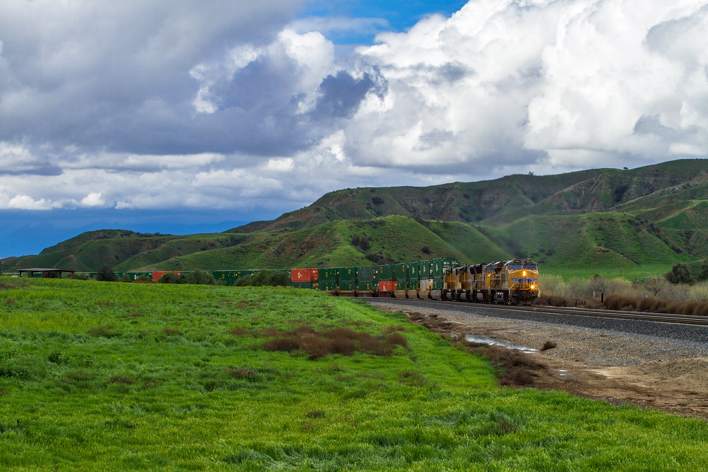
ATK 714E @ El Casco

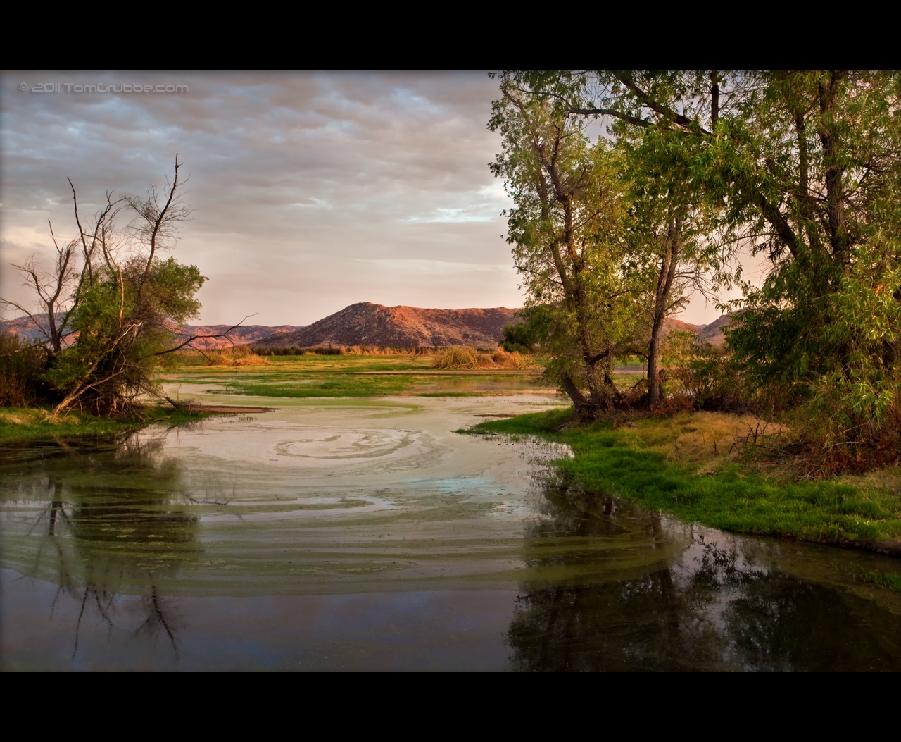
Santa Ana River Valley

Shooting Spot in the Hills

the view from here [7:52]

sunny rear view

Back From the Desert

What a view this morning!

Not Too Shabby

Original to these lands.

Live Oak Farms, Wagon 12-9-12

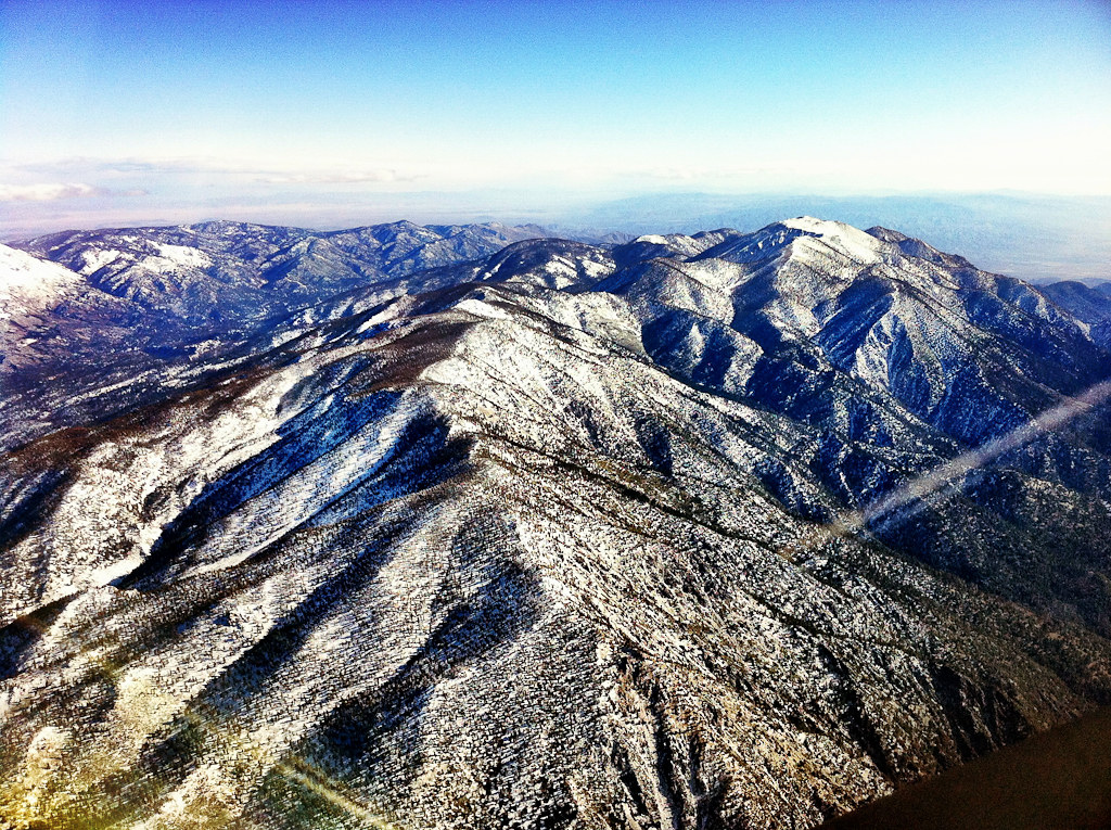
Mountains from Panorama Point 11-18-12

Swim Lane

View from the patio. Good morning ya'll!!!

Living Large, Canyon View, Redlands 5-19-13
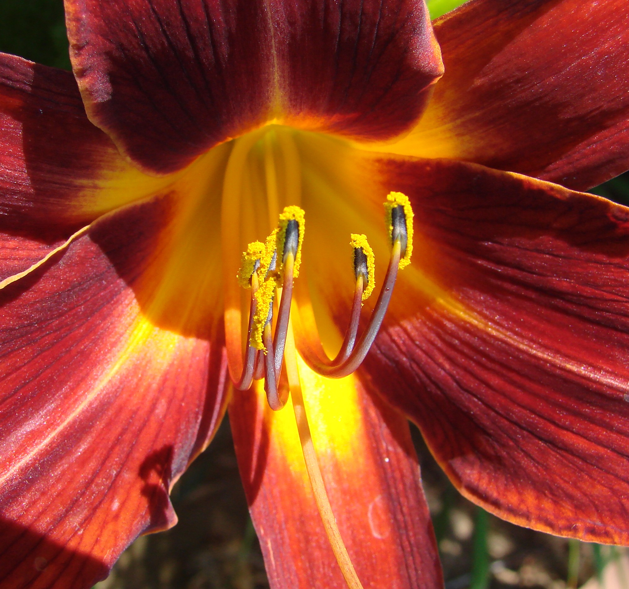
Daylillies (2) 7-7-12
Katy through San Timoteo
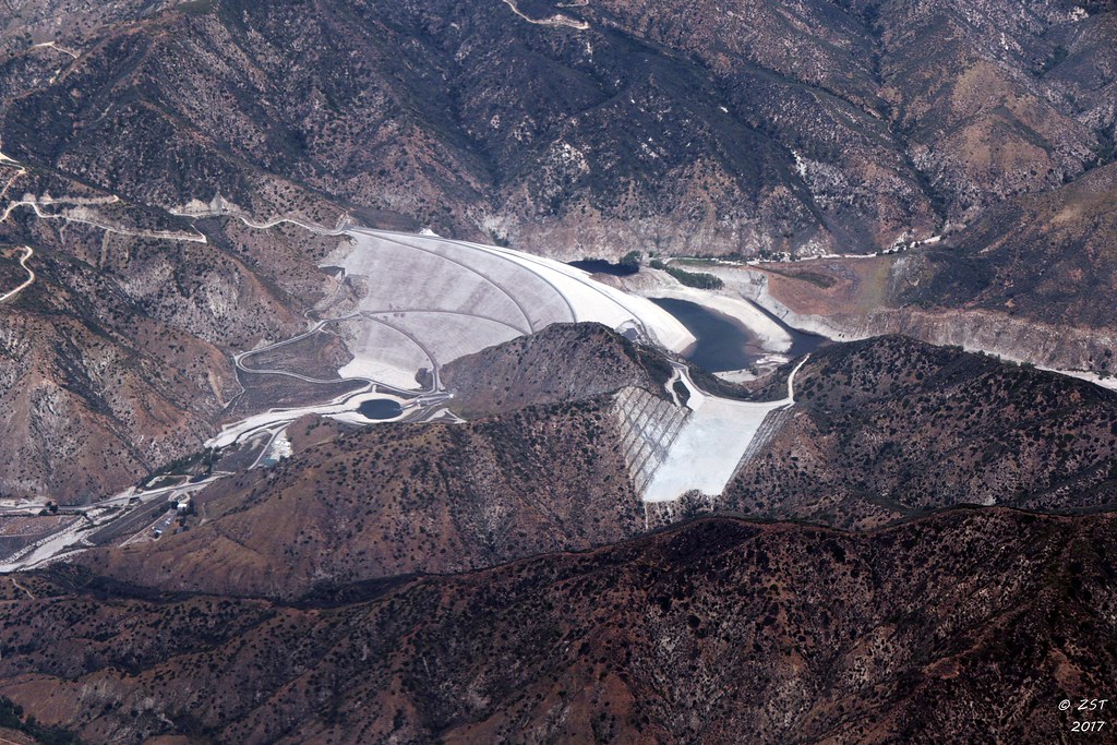
7 Oaks Dam

The calm after the storm.

San Timoteo Nature Trail

Hills from Jack Rabbit Trail
September Pond

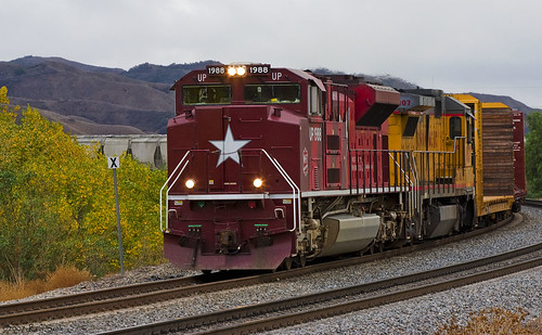
UP 7492

Snaking Up Beaumont

Spring Valley

Mill Creek Canyon

Feelings of Aqua
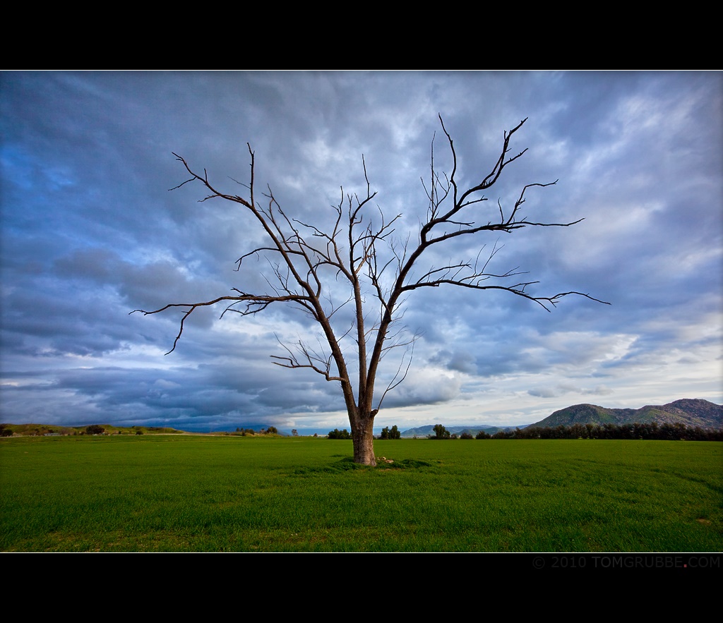
Tree and Field

Mill Creek - Mentone, CA, USA

Yucaipa California

Sunset Valley II

Palm Springs - 2017
Lush Hills
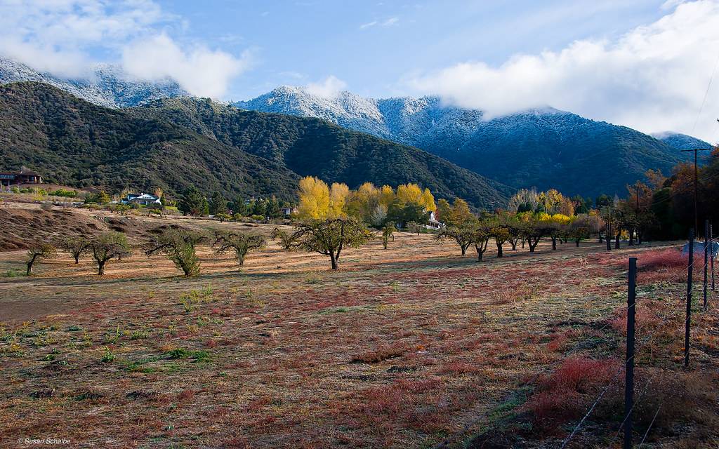
Autumn day in apple country

Garnet St. Bridge - Mentone, CA, USA
3.12.11 - Big Bear

Snow Creek
Topographic Map of 10th St, Yucaipa, CA, USA
Find elevation by address:

Places near 10th St, Yucaipa, CA, USA:
Yucaipa Boulevard
33596 Washington Dr
33598 Washington Dr
33557 Pecan Ave
12429 Mira Mesa Dr
12436 Cape Ln
33630 Pecan Ave
33227 Lotus Ave
11748 Clarion Ct
33491 Rosemond St
12563 12th St
33411 Miners Dr
33538 Marshall Rd
12918 Brooks Ln
Cienega Drive Trail
32740 Avenue E
13th Street
12783 14th St
12357 Ross Pl
12357 Ross Pl
Recent Searches:
- Elevation of Bella Terra Blvd, Estero, FL, USA
- Elevation of Estates Loop, Priest River, ID, USA
- Elevation of Woodland Oak Pl, Thousand Oaks, CA, USA
- Elevation of Brownsdale Rd, Renfrew, PA, USA
- Elevation of Corcoran Ln, Suffolk, VA, USA
- Elevation of Mamala II, Sariaya, Quezon, Philippines
- Elevation of Sarangdanda, Nepal
- Elevation of 7 Waterfall Way, Tomball, TX, USA
- Elevation of SW 57th Ave, Portland, OR, USA
- Elevation of Crocker Dr, Vacaville, CA, USA