Elevation of Harvest Rd, Nahunta, GA, USA
Location: United States > Georgia > Brantley County > Nahunta >
Longitude: -81.895602
Latitude: 31.1778261
Elevation: 19m / 62feet
Barometric Pressure: 101KPa
Elevation Map:
Satellite Map:
Related Photos:

Regular/Irregular

Dark Passages

Satilla River

Nahunta_GA-54

Nahunta_GA-108

Nahunta_GA-145

Nahunta_GA-140
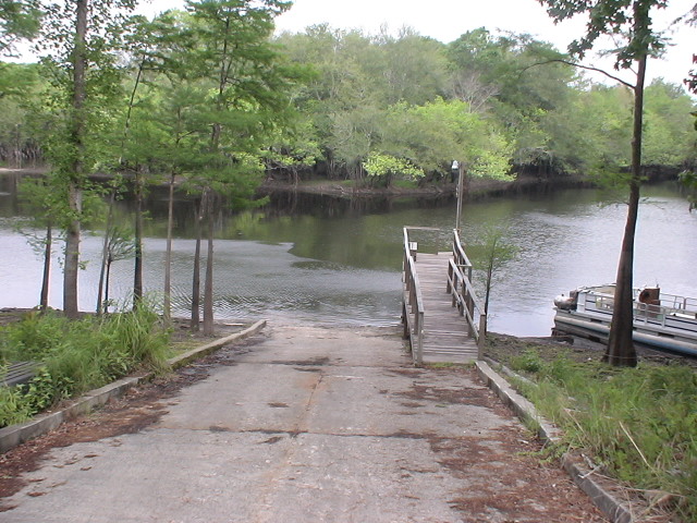
Brantley 140 boat ramp
Brantley 140 transition

Brantley 140 acres
Topographic Map of Harvest Rd, Nahunta, GA, USA
Find elevation by address:

Places near Harvest Rd, Nahunta, GA, USA:
Raybon Rd E, Nahunta, GA, USA
13 Happy Landing Rd, Waynesville, GA, USA
67 4th Ave
Atkinson
GA-, Hortense, GA, USA
Brushy Creek Road
75 Mcintosh Trail
Fort Mcintosh Loop
266 Kings Bay Rd
Coffee County Club Road
64 GA-, Waynesville, GA, USA
343 Coffee County Club Rd
Joseph Wiggins Rd, Waynesville, GA, USA
Waynesville
6716 Browntown Rd
Mineral Springs Road
56 Whisper Ridge Loop
130 Drury Rd
701 Frazier Rd
5344 E Glynn Ave
Recent Searches:
- Elevation of Elwyn Dr, Roanoke Rapids, NC, USA
- Elevation of Congressional Dr, Stevensville, MD, USA
- Elevation of Bellview Rd, McLean, VA, USA
- Elevation of Stage Island Rd, Chatham, MA, USA
- Elevation of Shibuya Scramble Crossing, 21 Udagawacho, Shibuya City, Tokyo -, Japan
- Elevation of Jadagoniai, Kaunas District Municipality, Lithuania
- Elevation of Pagonija rock, Kranto 7-oji g. 8"N, Kaunas, Lithuania
- Elevation of Co Rd 87, Jamestown, CO, USA
- Elevation of Tenjo, Cundinamarca, Colombia
- Elevation of Côte-des-Neiges, Montreal, QC H4A 3J6, Canada