Elevation of Raybon Rd E, Nahunta, GA, USA
Location: United States > Georgia > Brantley County > Nahunta >
Longitude: -81.903680
Latitude: 31.2157137
Elevation: 25m / 82feet
Barometric Pressure: 101KPa
Elevation Map:
Satellite Map:
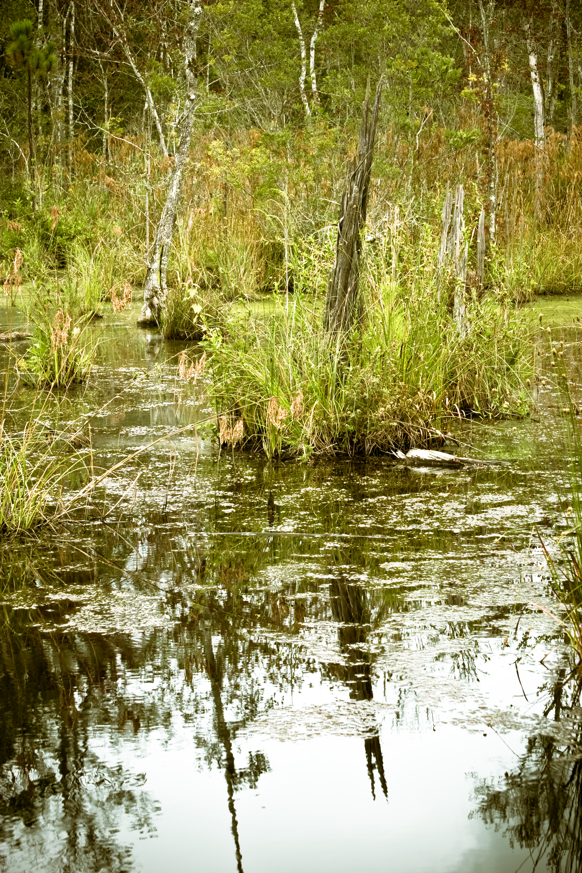
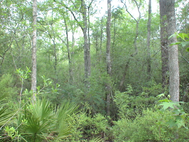
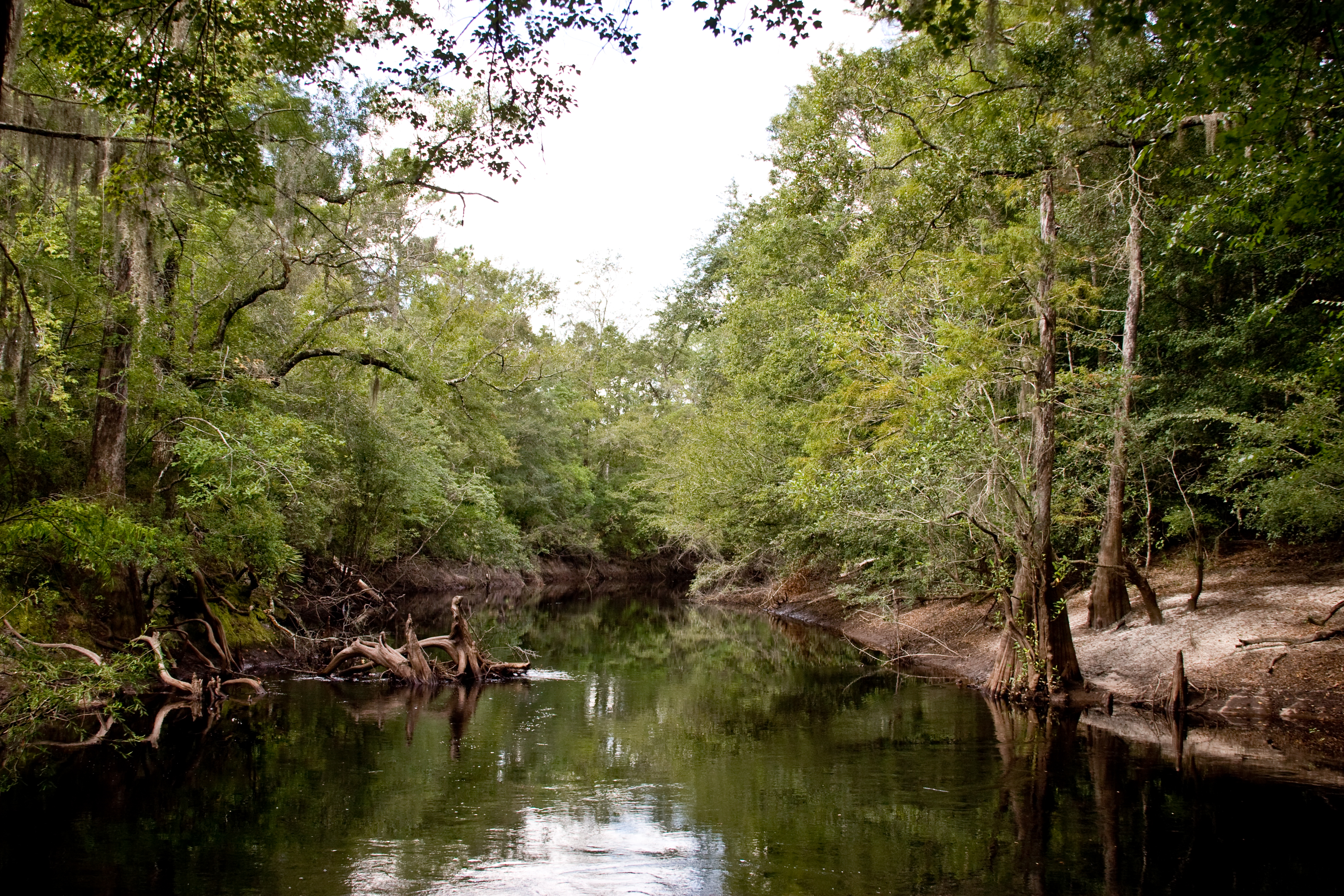
Related Photos:

Regular/Irregular

Nahunta_GA-108

Nahunta_GA-140
Nahunta_GA-145

Dark Passages

Satilla River

Brantley 140 boat ramp
Brantley 140 transition
Nahunta_GA-54

Brantley 140 acres
Topographic Map of Raybon Rd E, Nahunta, GA, USA
Find elevation by address:

Places near Raybon Rd E, Nahunta, GA, USA:
255 Harvest Rd
Atkinson
GA-, Hortense, GA, USA
Fort Mcintosh Loop
75 Mcintosh Trail
Brushy Creek Road
13 Happy Landing Rd, Waynesville, GA, USA
Coffee County Club Road
67 4th Ave
343 Coffee County Club Rd
Joseph Wiggins Rd, Waynesville, GA, USA
Waynesville
6716 Browntown Rd
Mineral Springs Road
266 Kings Bay Rd
64 GA-, Waynesville, GA, USA
56 Whisper Ridge Loop
130 Drury Rd
5344 E Glynn Ave
Jamaica Rd, Brunswick, GA, USA
Recent Searches:
- Elevation of Jalan Senandin, Lutong, Miri, Sarawak, Malaysia
- Elevation of Bilohirs'k
- Elevation of 30 Oak Lawn Dr, Barkhamsted, CT, USA
- Elevation of Luther Road, Luther Rd, Auburn, CA, USA
- Elevation of Unnamed Road, Respublika Severnaya Osetiya — Alaniya, Russia
- Elevation of Verkhny Fiagdon, North Ossetia–Alania Republic, Russia
- Elevation of F. Viola Hiway, San Rafael, Bulacan, Philippines
- Elevation of Herbage Dr, Gulfport, MS, USA
- Elevation of Lilac Cir, Haldimand, ON N3W 2G9, Canada
- Elevation of Harrod Branch Road, Harrod Branch Rd, Kentucky, USA