Elevation of Atkinson, GA, USA
Location: United States > Georgia > Brantley County >
Longitude: -81.852612
Latitude: 31.2232805
Elevation: 19m / 62feet
Barometric Pressure: 101KPa
Elevation Map:
Satellite Map:
Related Photos:

Regular/Irregular

Nahunta_GA-54

Dark Passages

Satilla River

Nahunta_GA-108

Nahunta_GA-145

Nahunta_GA-140
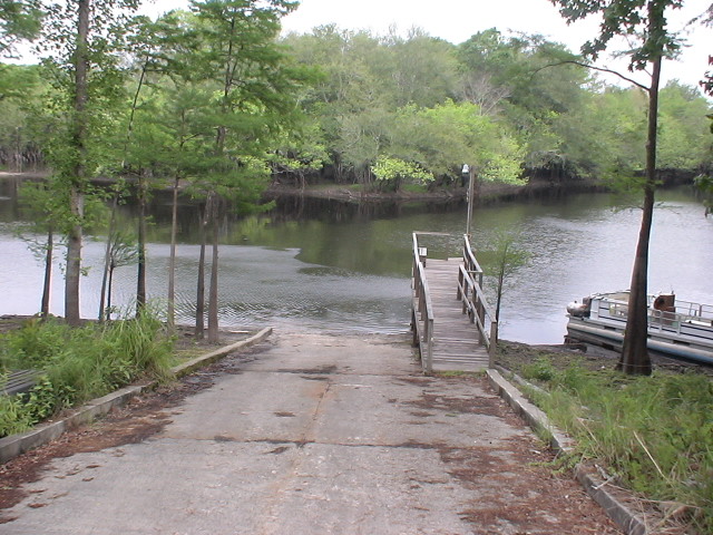
Brantley 140 boat ramp
Brantley 140 transition

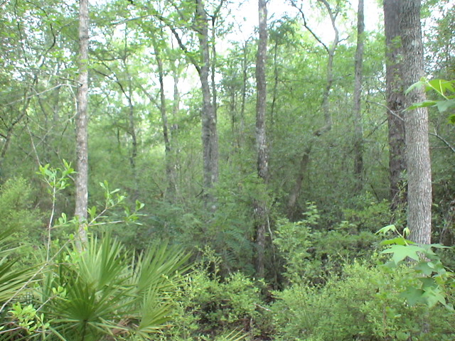
Brantley 140 acres

Island Ga
Topographic Map of Atkinson, GA, USA
Find elevation by address:

Places near Atkinson, GA, USA:
GA-, Hortense, GA, USA
Brushy Creek Road
75 Mcintosh Trail
Fort Mcintosh Loop
Raybon Rd E, Nahunta, GA, USA
343 Coffee County Club Rd
13 Happy Landing Rd, Waynesville, GA, USA
Coffee County Club Road
255 Harvest Rd
Joseph Wiggins Rd, Waynesville, GA, USA
Waynesville
6716 Browntown Rd
Mineral Springs Road
67 4th Ave
56 Whisper Ridge Loop
64 GA-, Waynesville, GA, USA
266 Kings Bay Rd
130 Drury Rd
5344 E Glynn Ave
Jamaica Rd, Brunswick, GA, USA
Recent Searches:
- Elevation of Congressional Dr, Stevensville, MD, USA
- Elevation of Bellview Rd, McLean, VA, USA
- Elevation of Stage Island Rd, Chatham, MA, USA
- Elevation of Shibuya Scramble Crossing, 21 Udagawacho, Shibuya City, Tokyo -, Japan
- Elevation of Jadagoniai, Kaunas District Municipality, Lithuania
- Elevation of Pagonija rock, Kranto 7-oji g. 8"N, Kaunas, Lithuania
- Elevation of Co Rd 87, Jamestown, CO, USA
- Elevation of Tenjo, Cundinamarca, Colombia
- Elevation of Côte-des-Neiges, Montreal, QC H4A 3J6, Canada
- Elevation of Bobcat Dr, Helena, MT, USA