Elevation of 64 GA-, Waynesville, GA, USA
Location: United States > Georgia > Brantley County > Hortense > Waynesville >
Longitude: -81.790603
Latitude: 31.1463791
Elevation: 16m / 52feet
Barometric Pressure: 101KPa
Elevation Map:
Satellite Map:
Related Photos:
A shot of the trio--our friends [Eric, Kiel, & Simon] from yesterday. They got by before I could get the camera out.

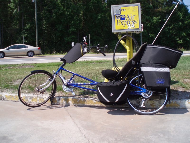
Here is one of their bikes
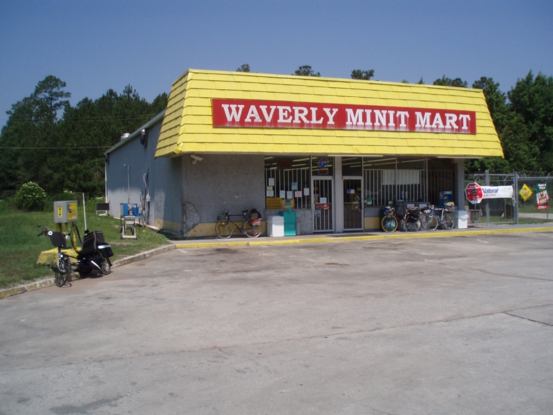
The store where we met

...and the other two
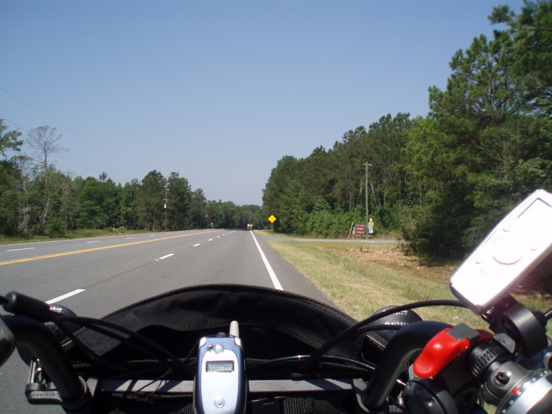
I stopped to talk with them at a convienience store.

The trio

Island Ga

Nahunta_GA-108

Nahunta_GA-140
Nahunta_GA-145

Dark Passages

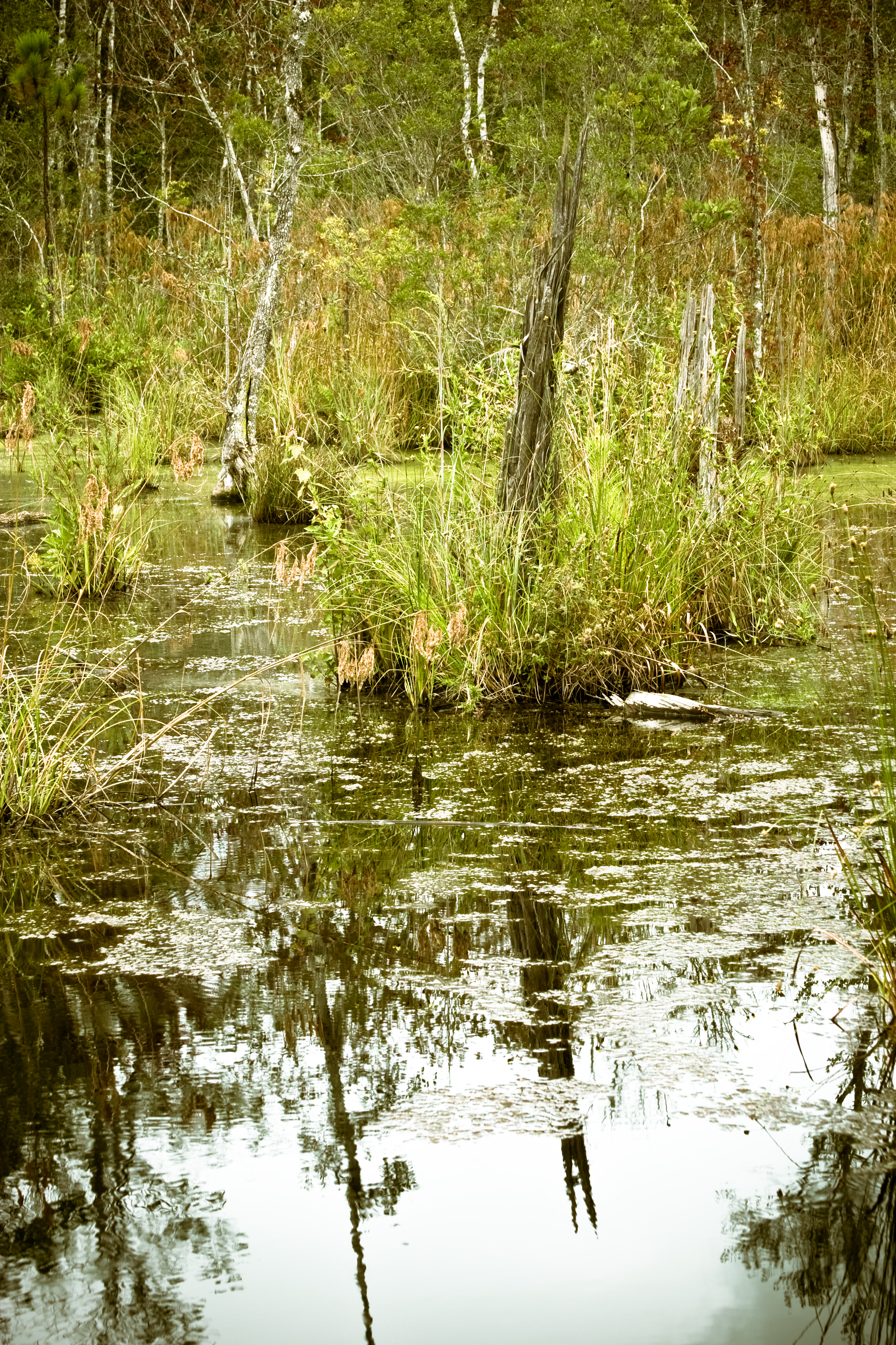
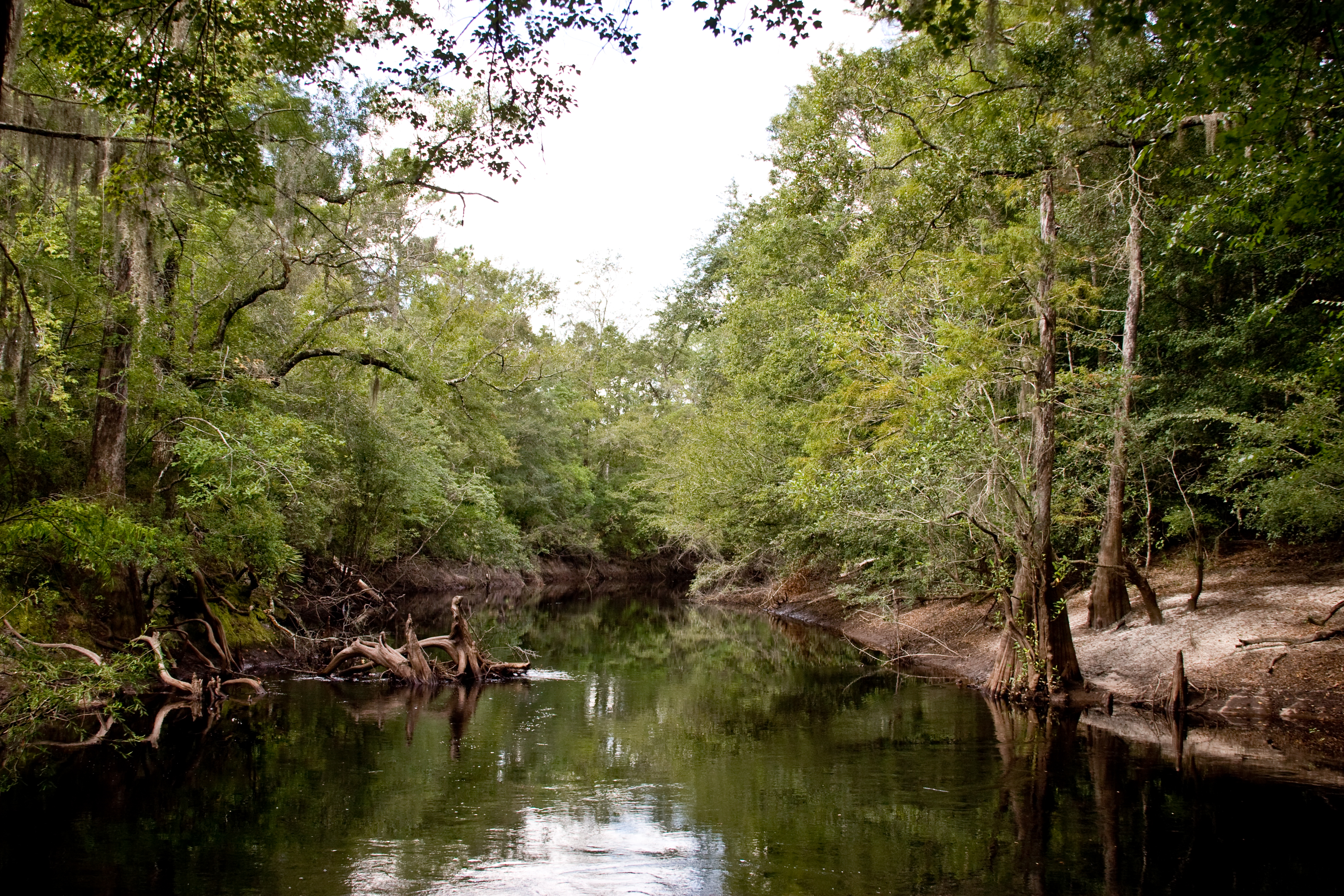
Satilla River

Brantley 140 boat ramp
Brantley 140 transition
Nahunta_GA-54

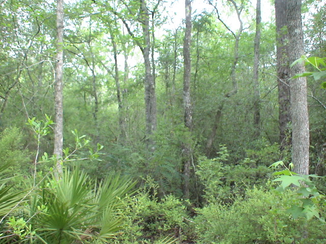
Brantley 140 acres
Topographic Map of 64 GA-, Waynesville, GA, USA
Find elevation by address:

Places near 64 GA-, Waynesville, GA, USA:
266 Kings Bay Rd
56 Whisper Ridge Loop
13 Happy Landing Rd, Waynesville, GA, USA
67 4th Ave
Joseph Wiggins Rd, Waynesville, GA, USA
Waynesville
Brushy Creek Road
Mineral Springs Road
6716 Browntown Rd
Atkinson
GA-, Hortense, GA, USA
255 Harvest Rd
75 Mcintosh Trail
Fort Mcintosh Loop
130 Drury Rd
701 Frazier Rd
Raybon Rd E, Nahunta, GA, USA
708 Frazier Rd
343 Coffee County Club Rd
Coffee County Club Road
Recent Searches:
- Elevation of East W.T. Harris Boulevard, E W.T. Harris Blvd, Charlotte, NC, USA
- Elevation of West Sugar Creek, Charlotte, NC, USA
- Elevation of Wayland, NY, USA
- Elevation of Steadfast Ct, Daphne, AL, USA
- Elevation of Lagasgasan, X+CQH, Tiaong, Quezon, Philippines
- Elevation of Rojo Ct, Atascadero, CA, USA
- Elevation of Flagstaff Drive, Flagstaff Dr, North Carolina, USA
- Elevation of Avery Ln, Lakeland, FL, USA
- Elevation of Woolwine, VA, USA
- Elevation of Lumagwas Diversified Farmers Multi-Purpose Cooperative, Lumagwas, Adtuyon, RV32+MH7, Pangantucan, Bukidnon, Philippines