Elevation of 13 Happy Landing Rd, Waynesville, GA, USA
Location: United States > Georgia > Brantley County > Hortense > Waynesville >
Longitude: -81.854014
Latitude: 31.1659704
Elevation: 16m / 52feet
Barometric Pressure: 101KPa
Elevation Map:
Satellite Map:
Related Photos:

Regular/Irregular
A shot of the trio--our friends [Eric, Kiel, & Simon] from yesterday. They got by before I could get the camera out.

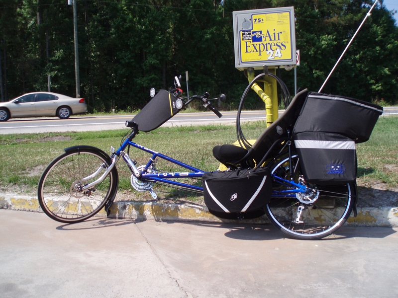
Here is one of their bikes

The store where we met

...and the other two
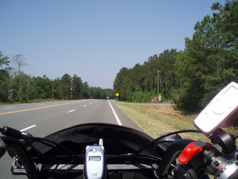
I stopped to talk with them at a convienience store.

The trio

Island Ga

Nahunta_GA-108

Nahunta_GA-140
Nahunta_GA-145

Dark Passages

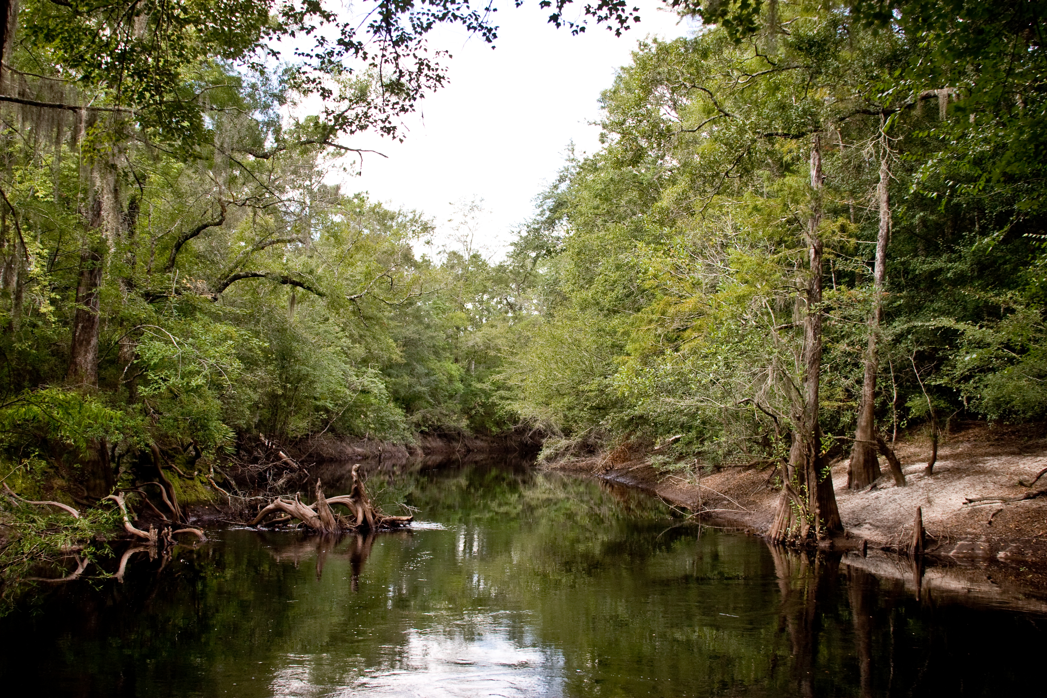
Satilla River

Brantley 140 boat ramp
Brantley 140 transition
Nahunta_GA-54

Brantley 140 acres
Topographic Map of 13 Happy Landing Rd, Waynesville, GA, USA
Find elevation by address:

Places near 13 Happy Landing Rd, Waynesville, GA, USA:
67 4th Ave
255 Harvest Rd
Brushy Creek Road
Atkinson
GA-, Hortense, GA, USA
266 Kings Bay Rd
64 GA-, Waynesville, GA, USA
Raybon Rd E, Nahunta, GA, USA
75 Mcintosh Trail
Fort Mcintosh Loop
Joseph Wiggins Rd, Waynesville, GA, USA
Waynesville
56 Whisper Ridge Loop
Mineral Springs Road
6716 Browntown Rd
343 Coffee County Club Rd
Coffee County Club Road
130 Drury Rd
701 Frazier Rd
708 Frazier Rd
Recent Searches:
- Elevation of Spaceport America, Co Rd A, Truth or Consequences, NM, USA
- Elevation of Warwick, RI, USA
- Elevation of Fern Rd, Whitmore, CA, USA
- Elevation of 62 Abbey St, Marshfield, MA, USA
- Elevation of Fernwood, Bradenton, FL, USA
- Elevation of Felindre, Swansea SA5 7LU, UK
- Elevation of Leyte Industrial Development Estate, Isabel, Leyte, Philippines
- Elevation of W Granada St, Tampa, FL, USA
- Elevation of Pykes Down, Ivybridge PL21 0BY, UK
- Elevation of Jalan Senandin, Lutong, Miri, Sarawak, Malaysia