Elevation of Harkness St, Georgetown, CA, USA
Location: United States > California > El Dorado County > Georgetown >
Longitude: -120.82931
Latitude: 38.905431
Elevation: 819m / 2687feet
Barometric Pressure: 92KPa
Elevation Map:
Satellite Map:
Related Photos:

Hand Stacked Rock Wall – Can You Find the Funny Feature?
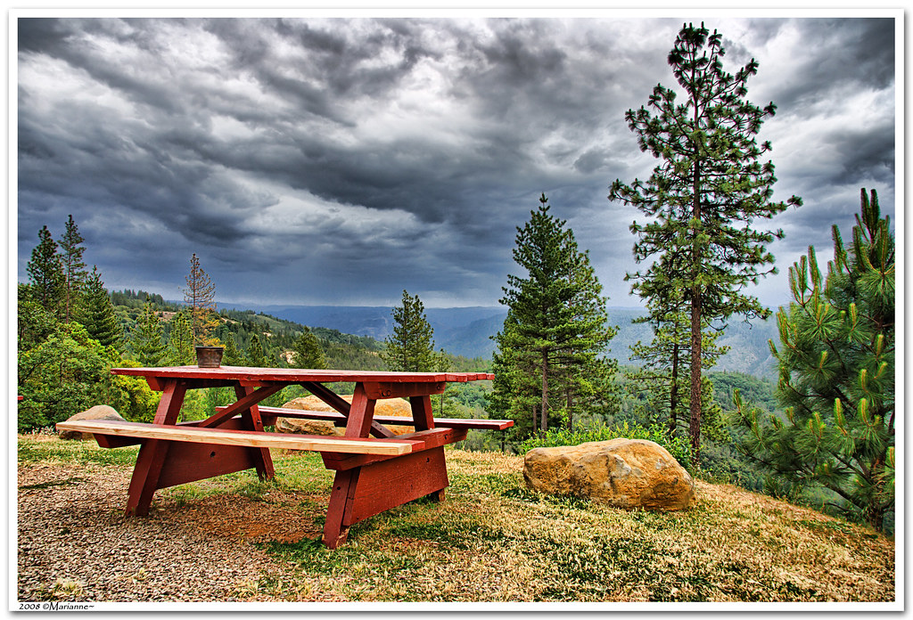
Before the Rain

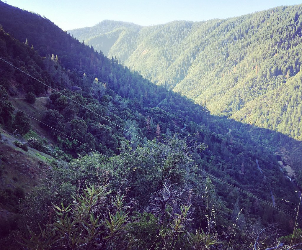
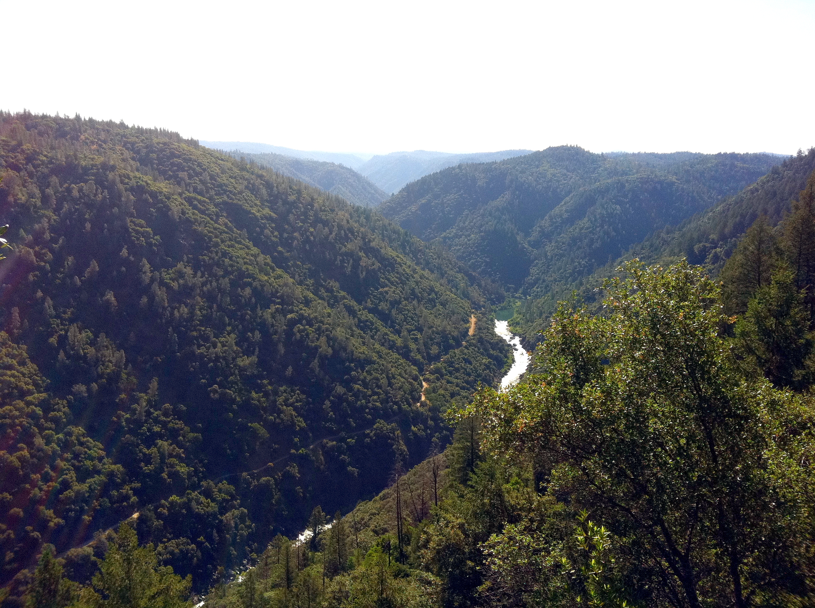
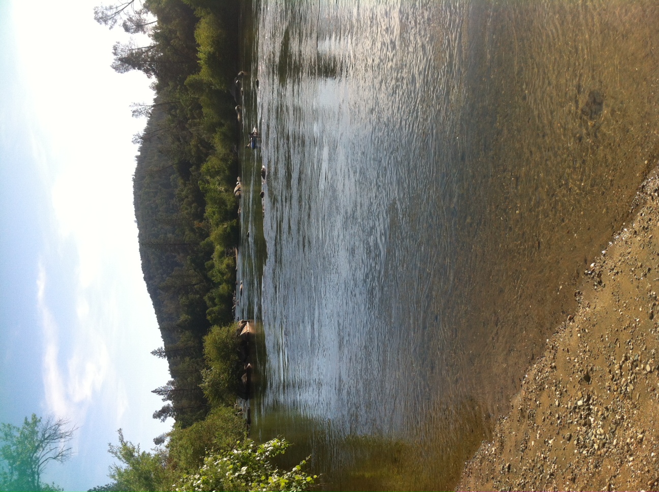
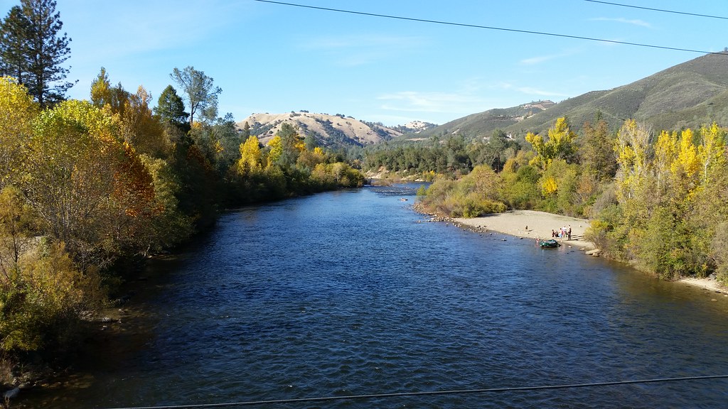
North Fork American River

The view from Foresthill
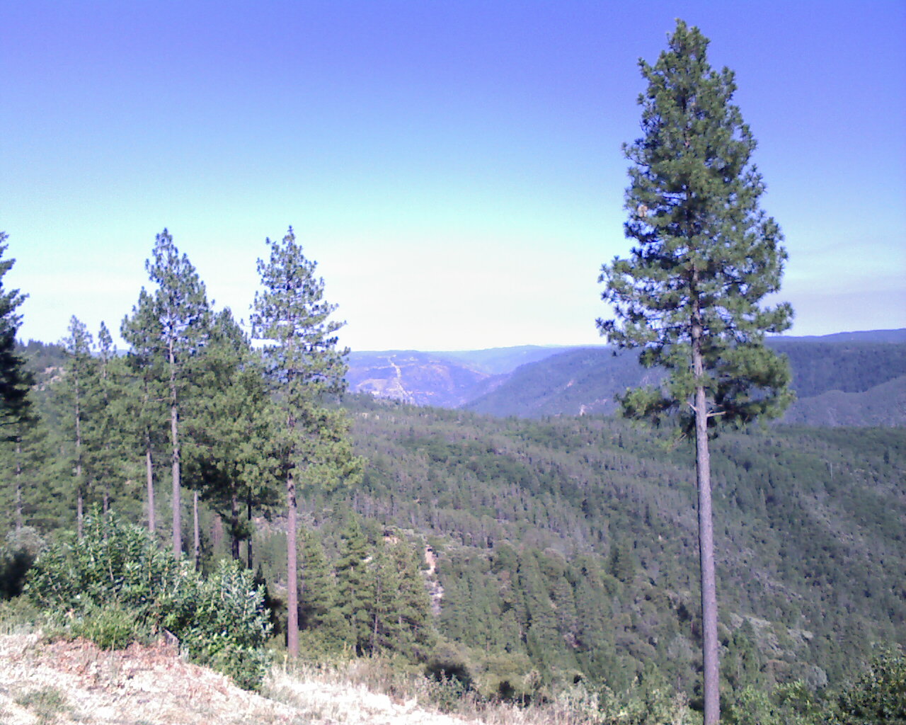
View from almost the top of Ralston Ridge
From Foresthill on my ride
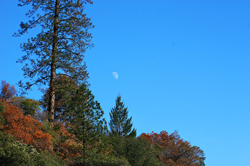
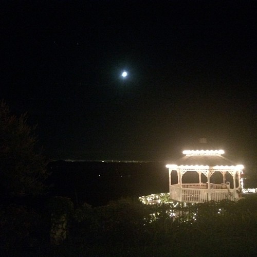
Midday Moon 1786
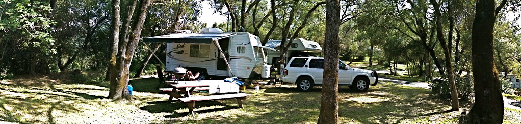
RV Camping..
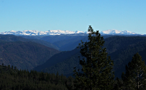
High Sierra Vista 1766
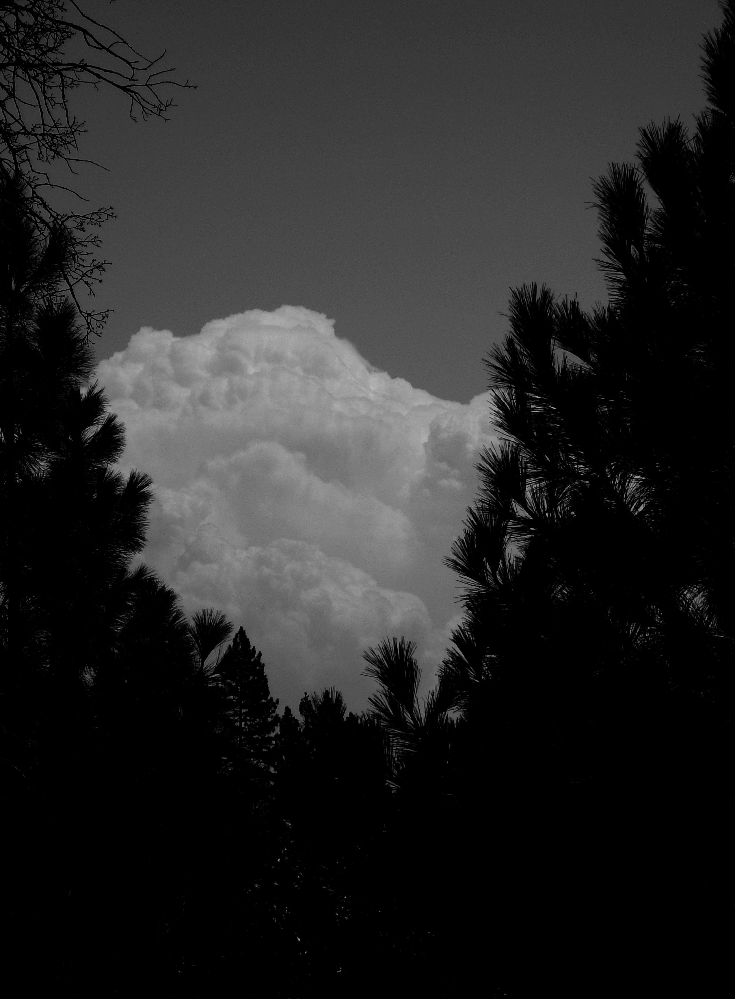
Dark Thunderclouds

Thunderclouds Over the Crest
This place is a Thomas Kincaid Disney wedging cake vineyard with music coming out of rocks and plastic flowers galore with awesome views and vineyard
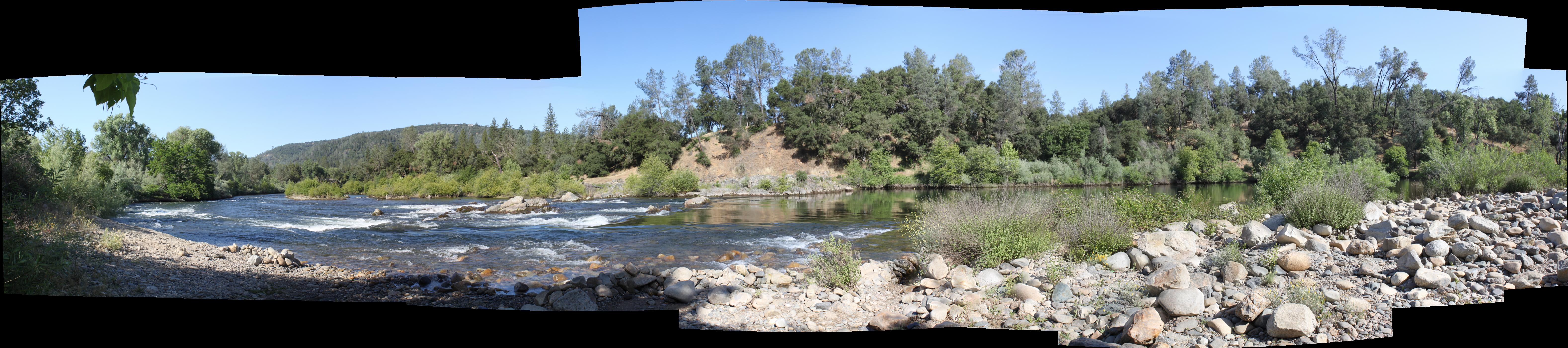
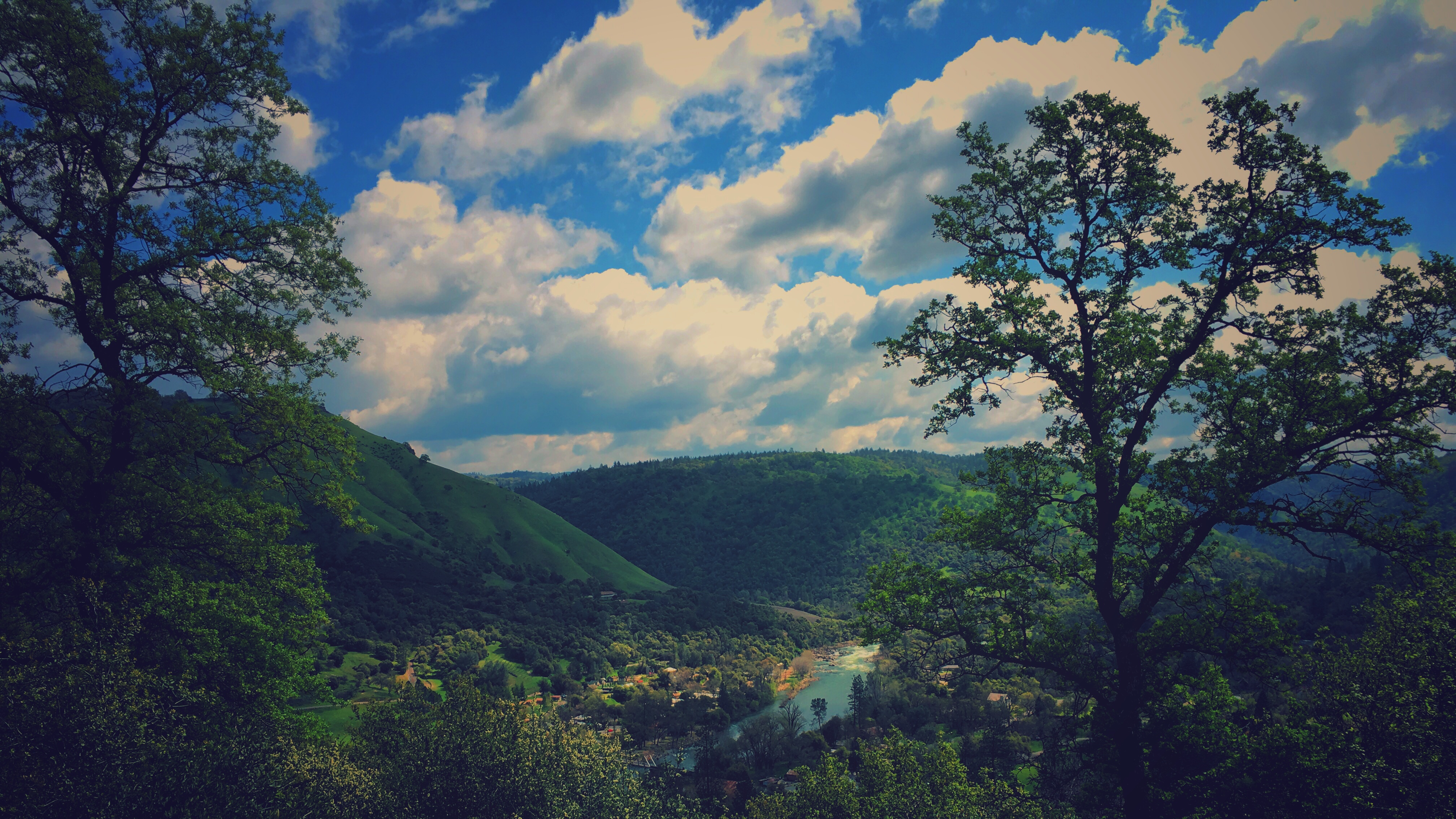
South Fork Panorama
View from James Marshal Monument. Marshal Gold Discovery State Historic Park. Coloma, California. December 20, 2012.
Auburn 32-mile Hike

View from almost the top of Ralston Ridge

Road to the Clouds
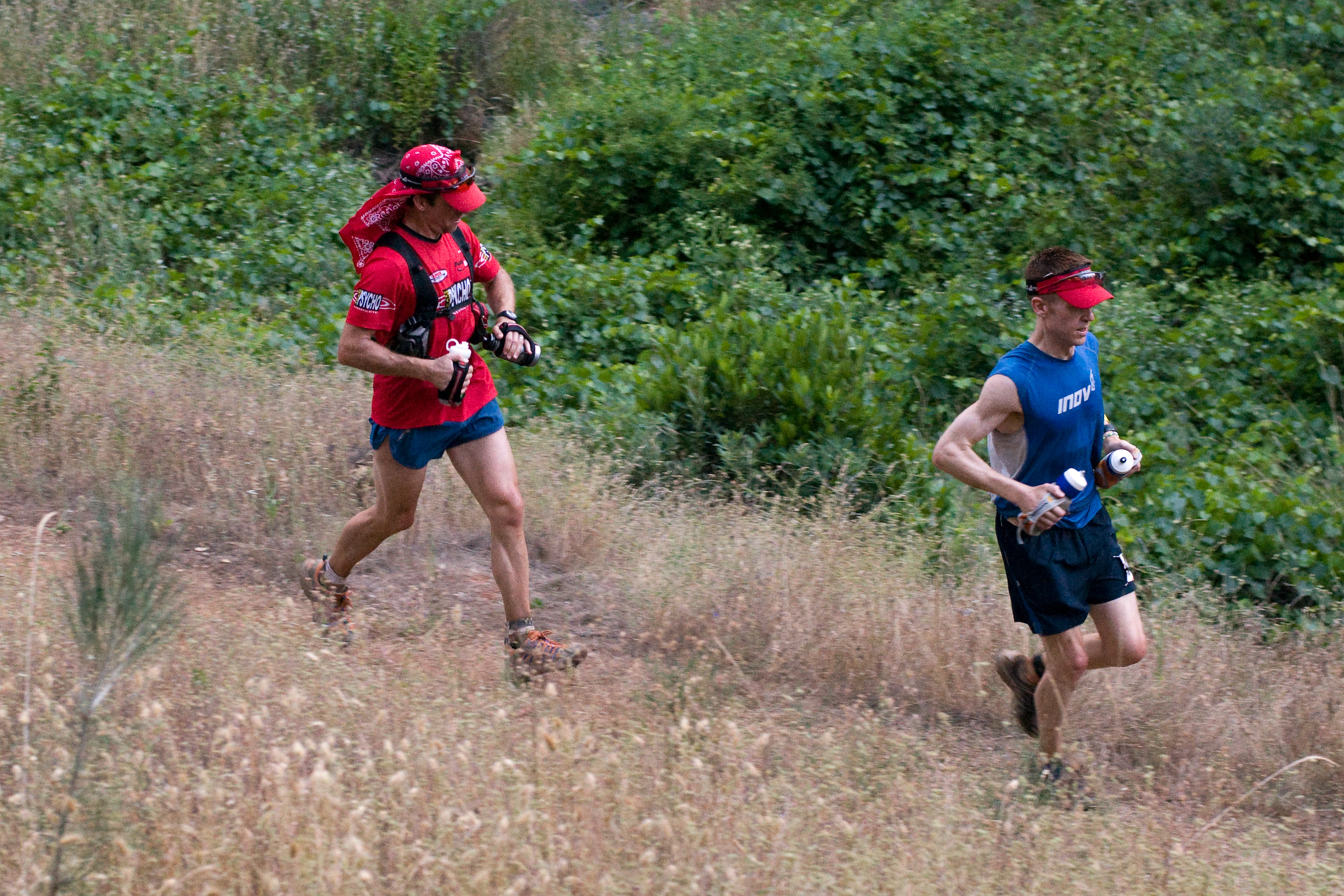
Western States runner

The View
da river view from our campsite

View from almost the top of Ralston Ridge
finding gold in the valley of Coloma

Yankee Jim's Waterfall
Sometimes you get off the bike and take a hike around the lake... #lakeview #california #perfectday #hiking #trails #homestate #hearthealth #cardio #hikecalifornia #sunshine #peace #quiet #reflection

Falling Away

Yankee Jim's Waterfall
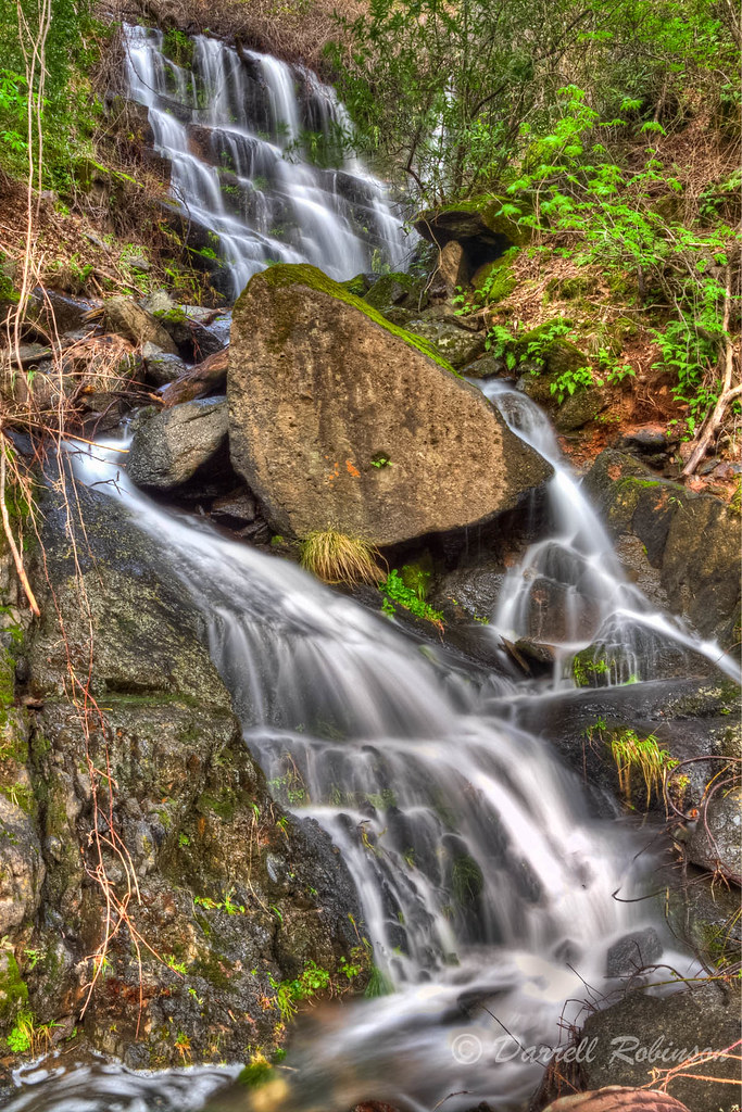
Seasonal Waterfall
American River
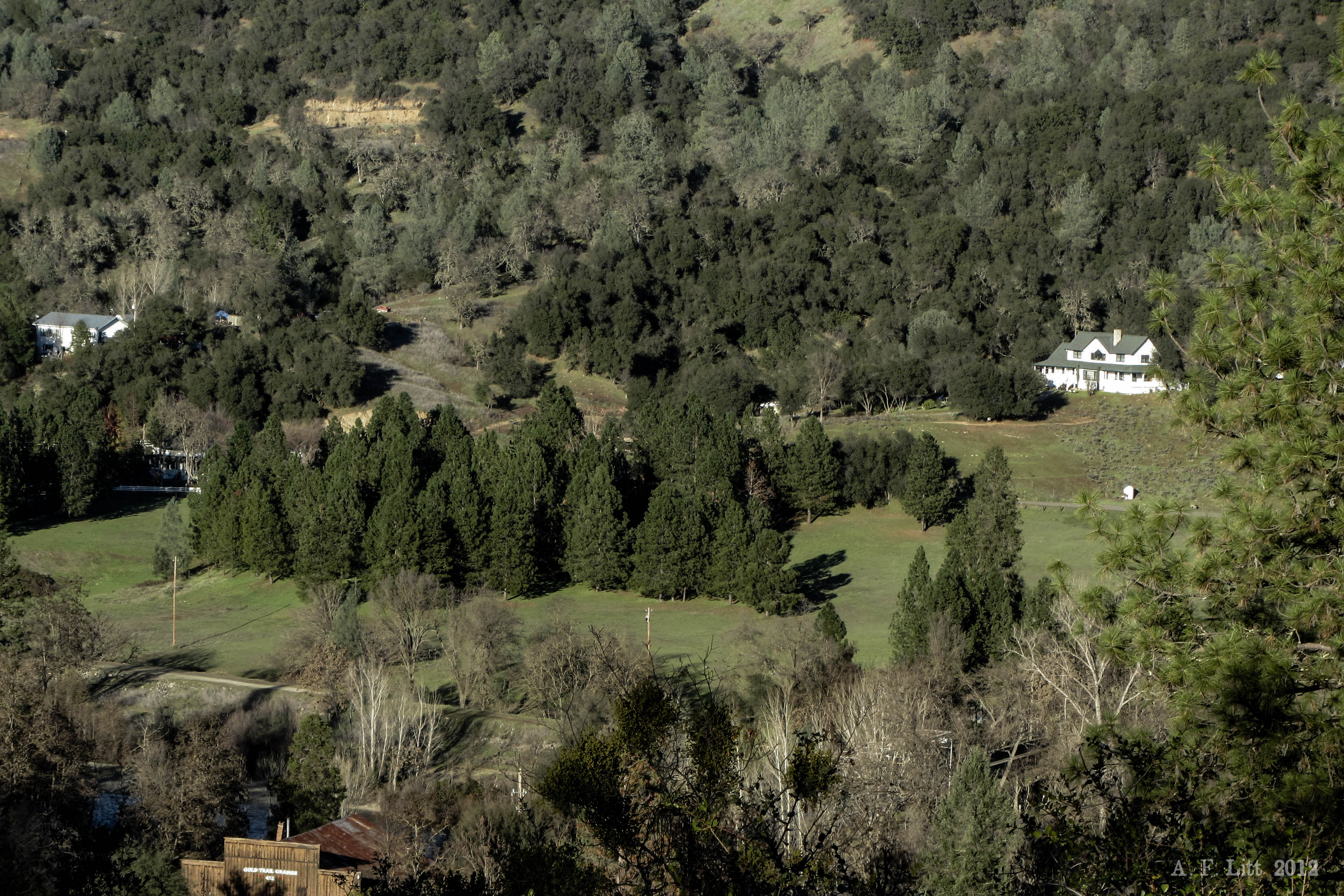
Forty Acres and a Mule

Morning on the river.
#rybridge wedding. Nice location.

The Cauldron of Frigid Waters

Rafting Tunnel Chute

Devil's Falls (Smooth)
Sunken ice pond

Rock Creek, El Dorado Co

Devil's Falls (Grunge)

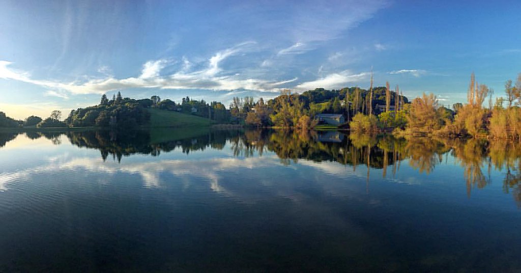
Lone Boater on Oxbow Reservoir

Thunderstorms in Tahoe National Forest
Topographic Map of Harkness St, Georgetown, CA, USA
Find elevation by address:

Places near Harkness St, Georgetown, CA, USA:
3181 Hanson Hollow Rd
Main Street
Georgetown
Jeepers Jamboree
4046 Empire Creek Cir
6000 Lower Main St
1447 Shining Moon
Rolling Hills Drive
6680 Chipmunk Trail
3020 Rolling Hills Dr
CA-, Georgetown, CA, USA
3040 Rolling Hills Dr
3441 Chipmunk Trail
6990 Wentworth Springs Rd
2681 Buffalo Hill Rd
3031 Lasita Pl
4541 Mont Eaton Mine Rd
4000 Marshall Rd
2050 Slat
2480 Fox Run Rd
Recent Searches:
- Elevation of Badaber, Peshawar, Khyber Pakhtunkhwa, Pakistan
- Elevation of SE Heron Loop, Lincoln City, OR, USA
- Elevation of Slanický ostrov, 01 Námestovo, Slovakia
- Elevation of Spaceport America, Co Rd A, Truth or Consequences, NM, USA
- Elevation of Warwick, RI, USA
- Elevation of Fern Rd, Whitmore, CA, USA
- Elevation of 62 Abbey St, Marshfield, MA, USA
- Elevation of Fernwood, Bradenton, FL, USA
- Elevation of Felindre, Swansea SA5 7LU, UK
- Elevation of Leyte Industrial Development Estate, Isabel, Leyte, Philippines