Elevation of Hanson Hollow Rd, Georgetown, CA, USA
Location: United States > California > El Dorado County > Georgetown >
Longitude: -120.82310
Latitude: 38.906091
Elevation: 807m / 2648feet
Barometric Pressure: 92KPa
Elevation Map:
Satellite Map:
Related Photos:
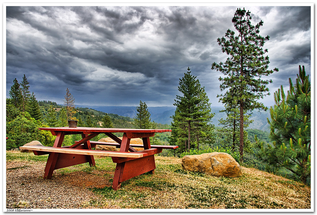
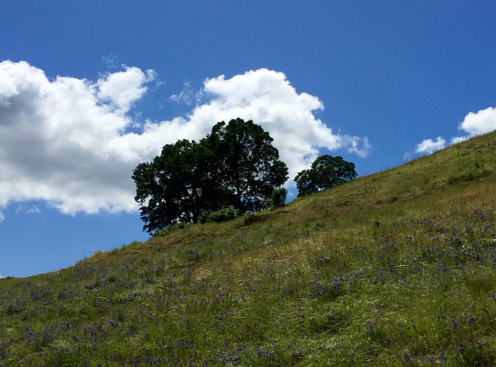
Before the Rain

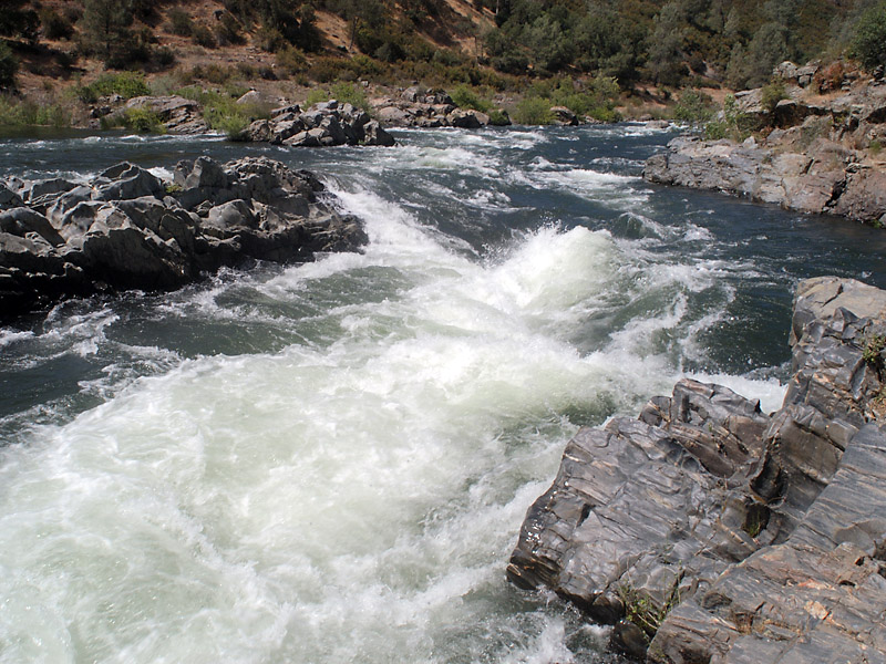
North Fork American River

Hand Stacked Rock Wall – Can You Find the Funny Feature?
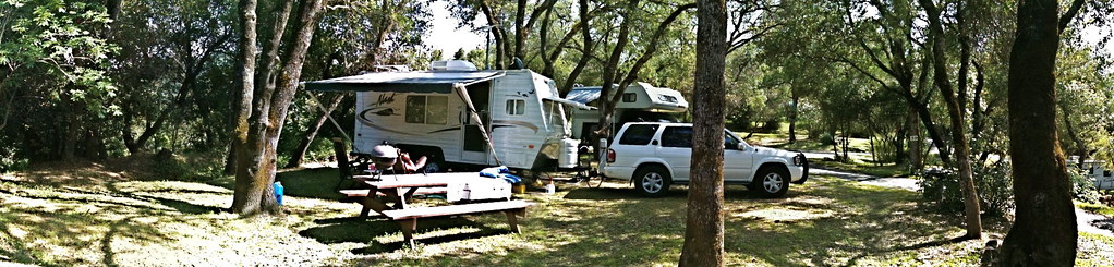
RV Camping..
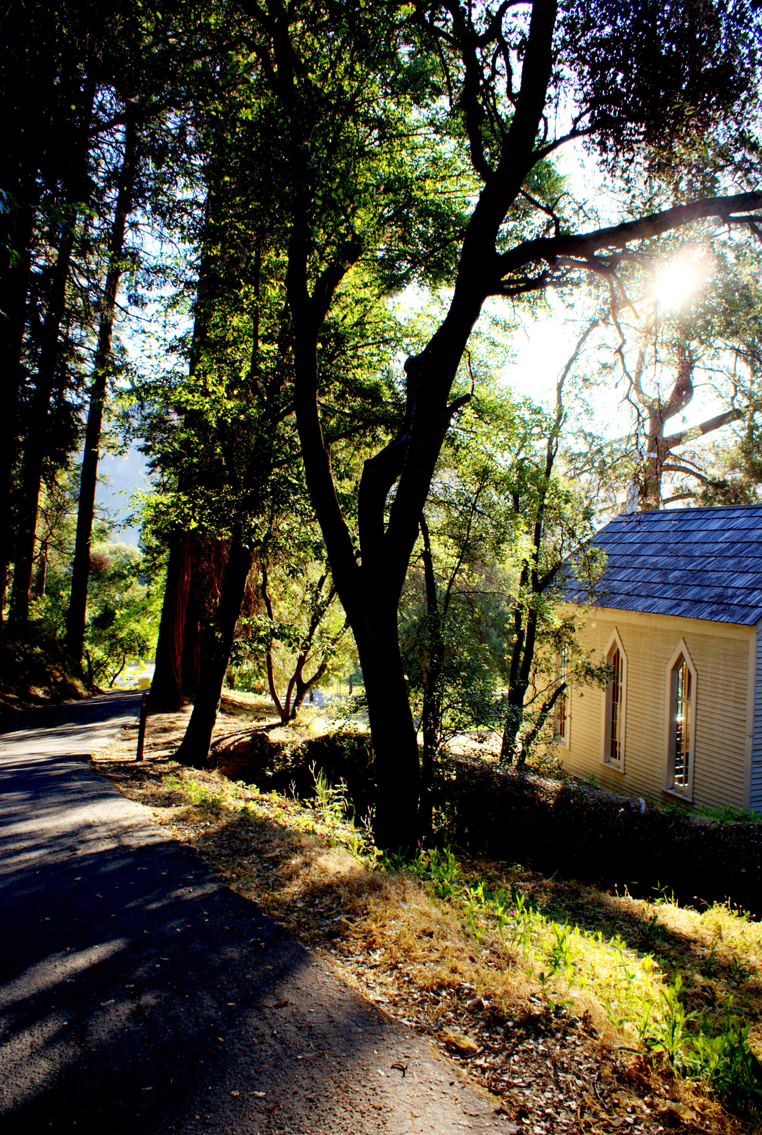
Morning Services
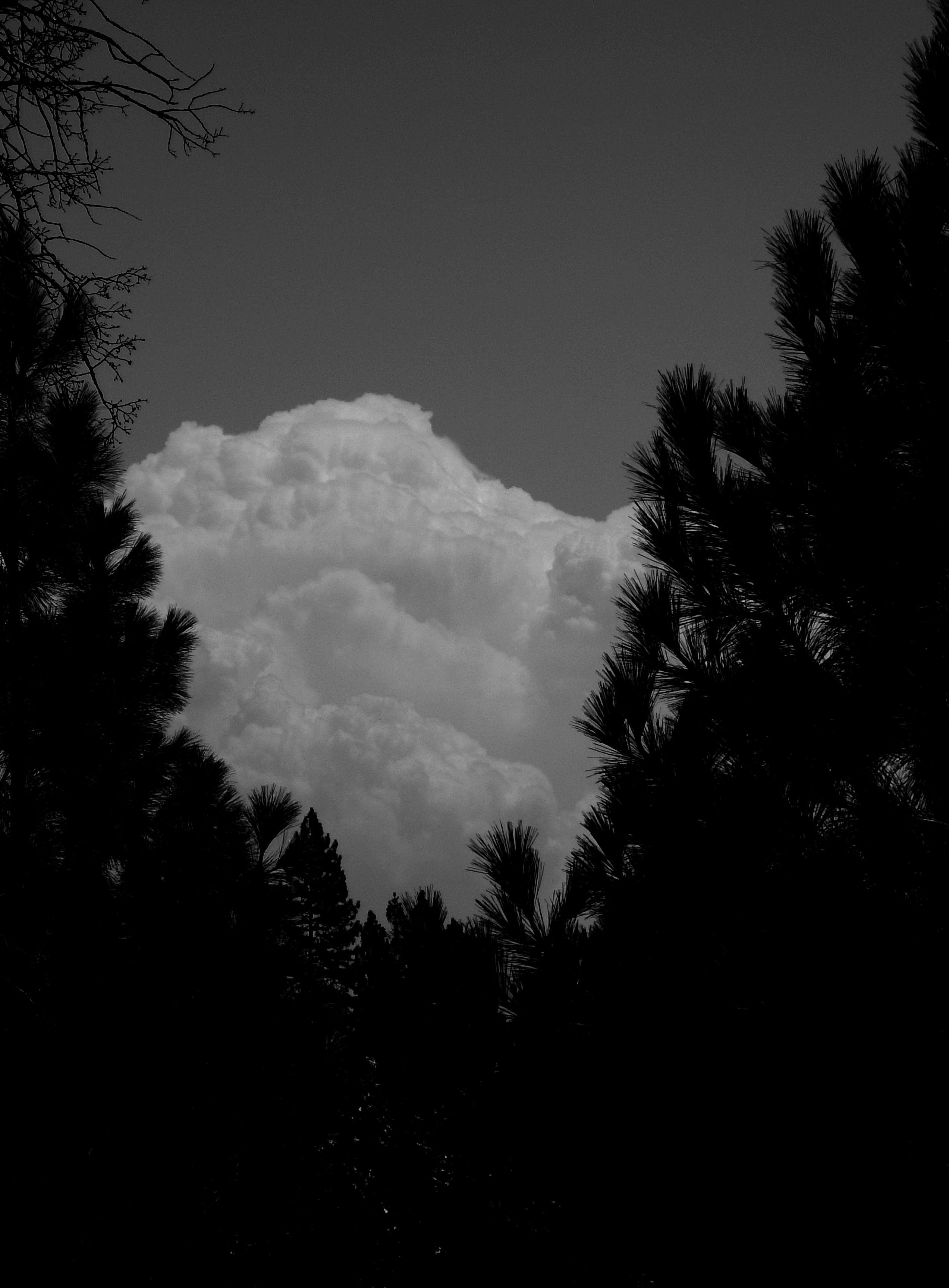
Dark Thunderclouds

Thunderclouds Over the Crest
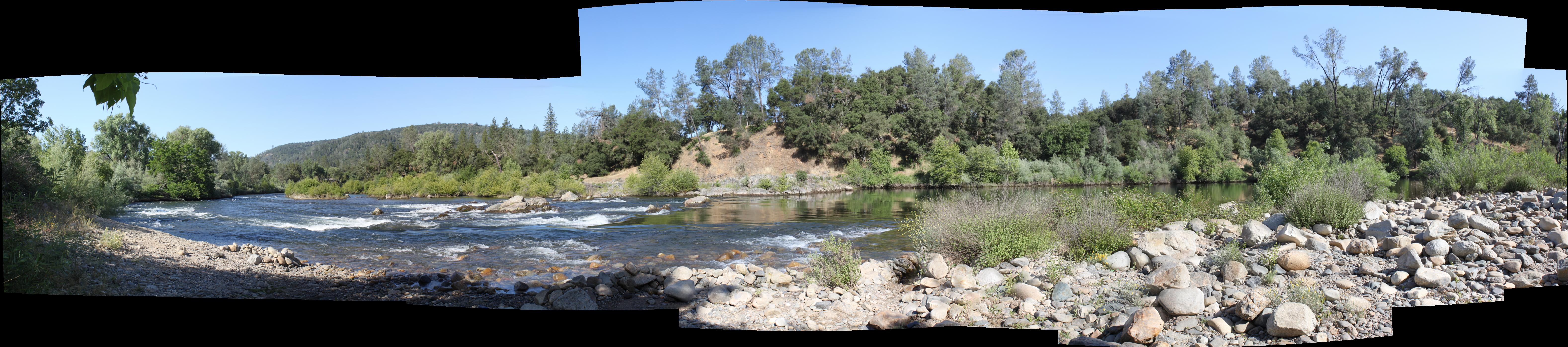
South Fork Panorama
View from James Marshal Monument. Marshal Gold Discovery State Historic Park. Coloma, California. December 20, 2012.

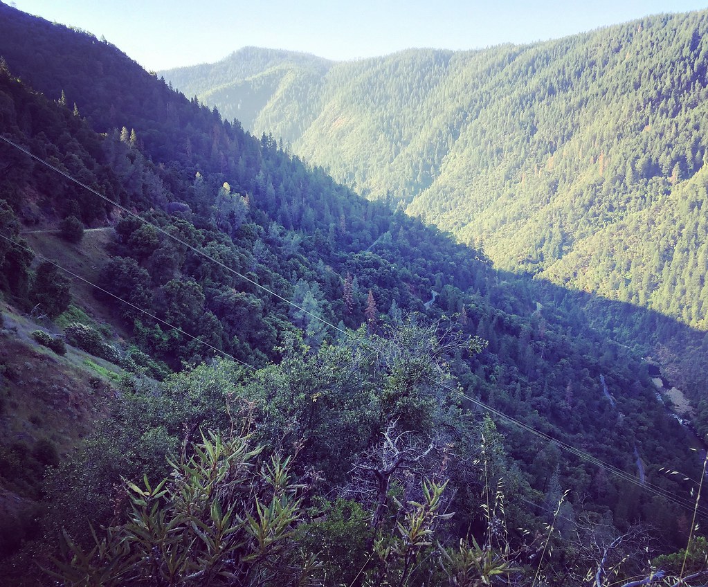
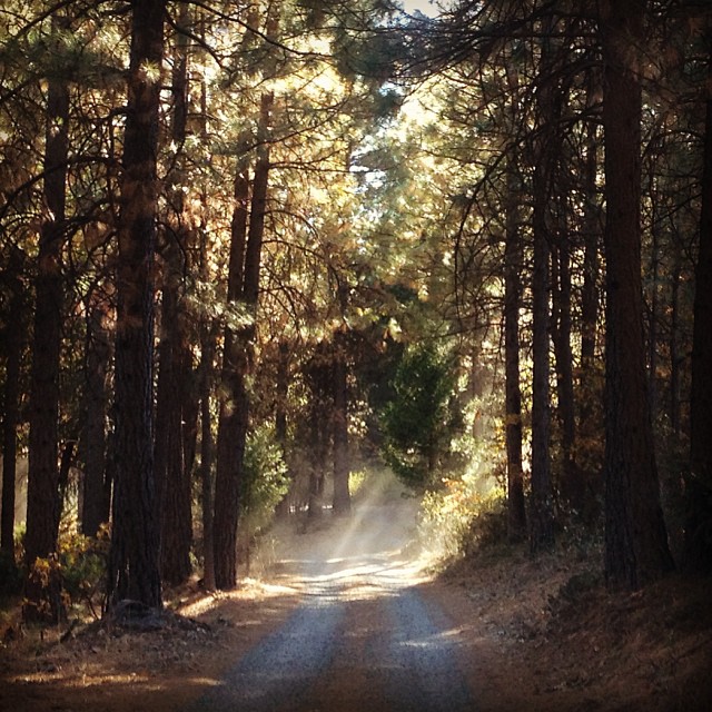
Road to the Clouds

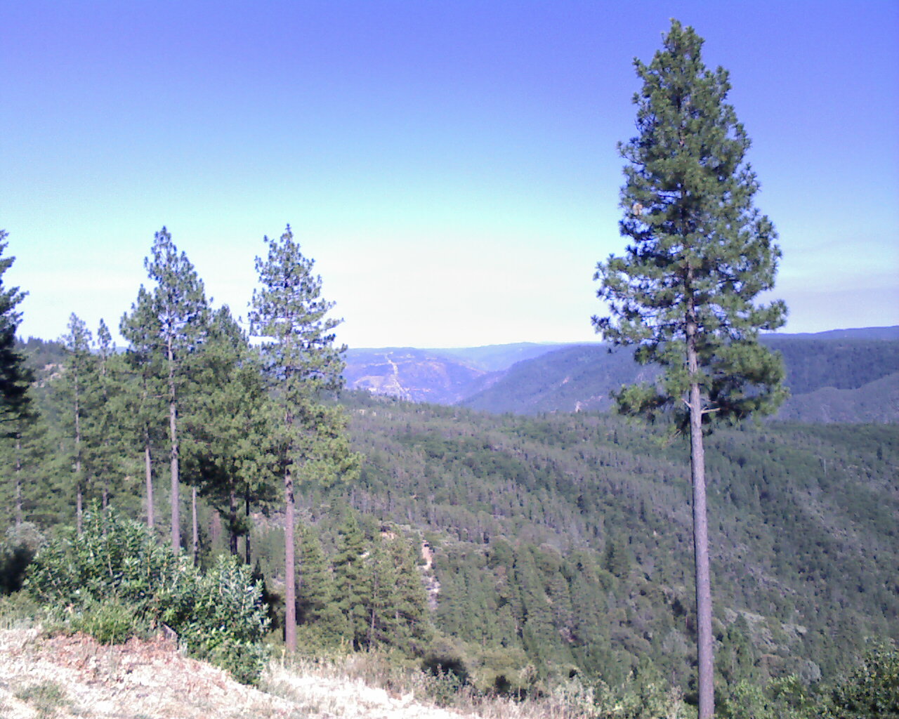
The View
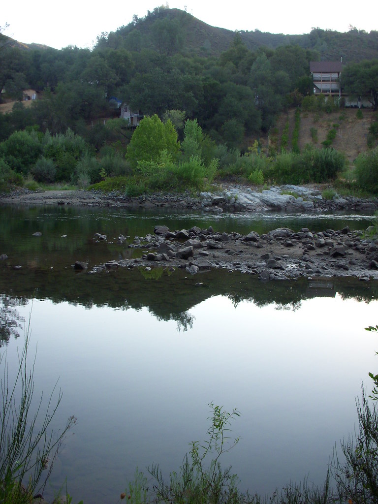
View of the River
Down by the River

Benoit enjoying the view

psycho runner

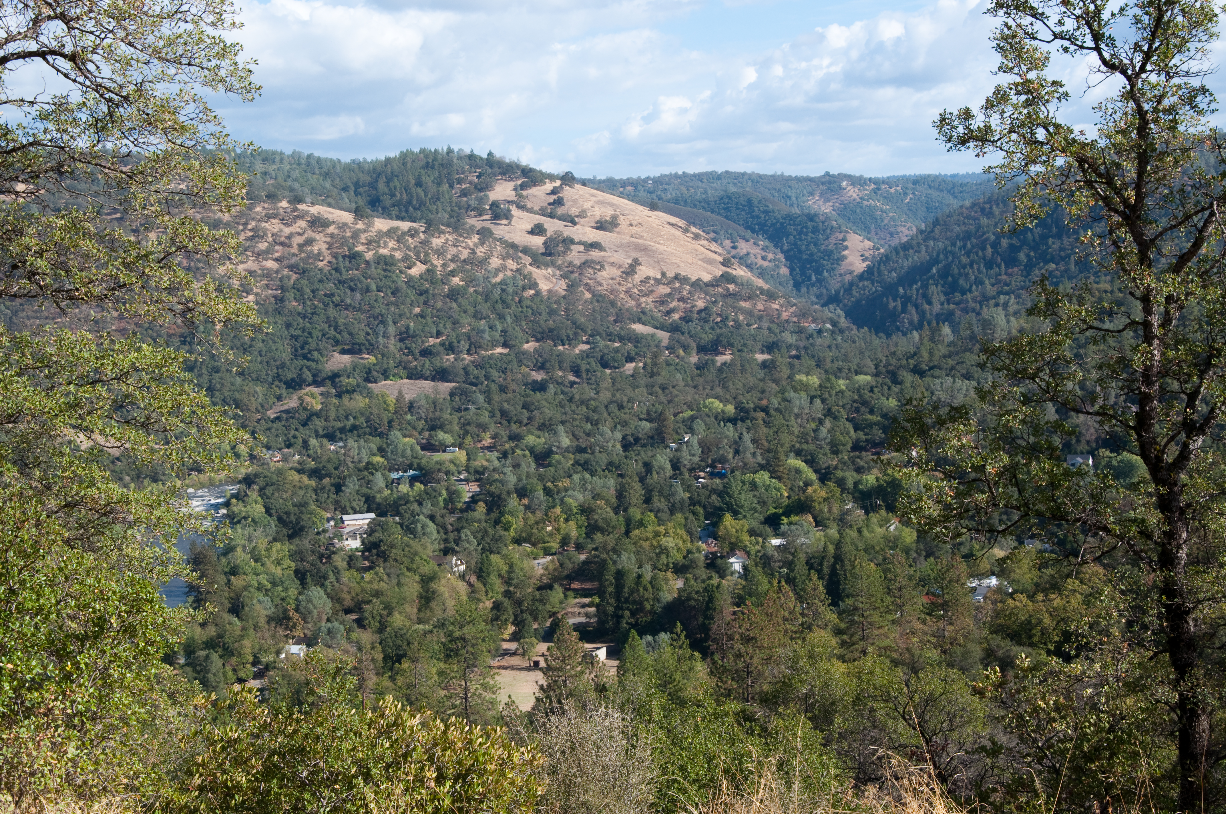
The view from Foresthill
View from almost the top of Ralston Ridge
From Foresthill on my ride
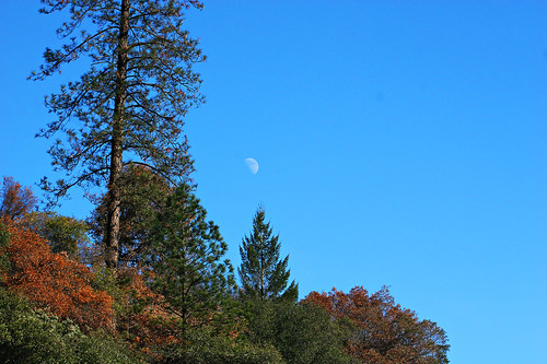
Midday Moon 1786
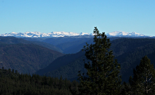
High Sierra Vista 1766

This place is a Thomas Kincaid Disney wedging cake vineyard with music coming out of rocks and plastic flowers galore with awesome views and vineyard

Falling Away
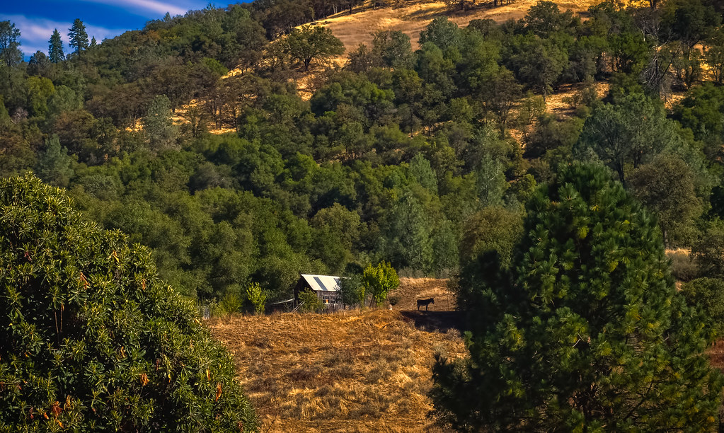
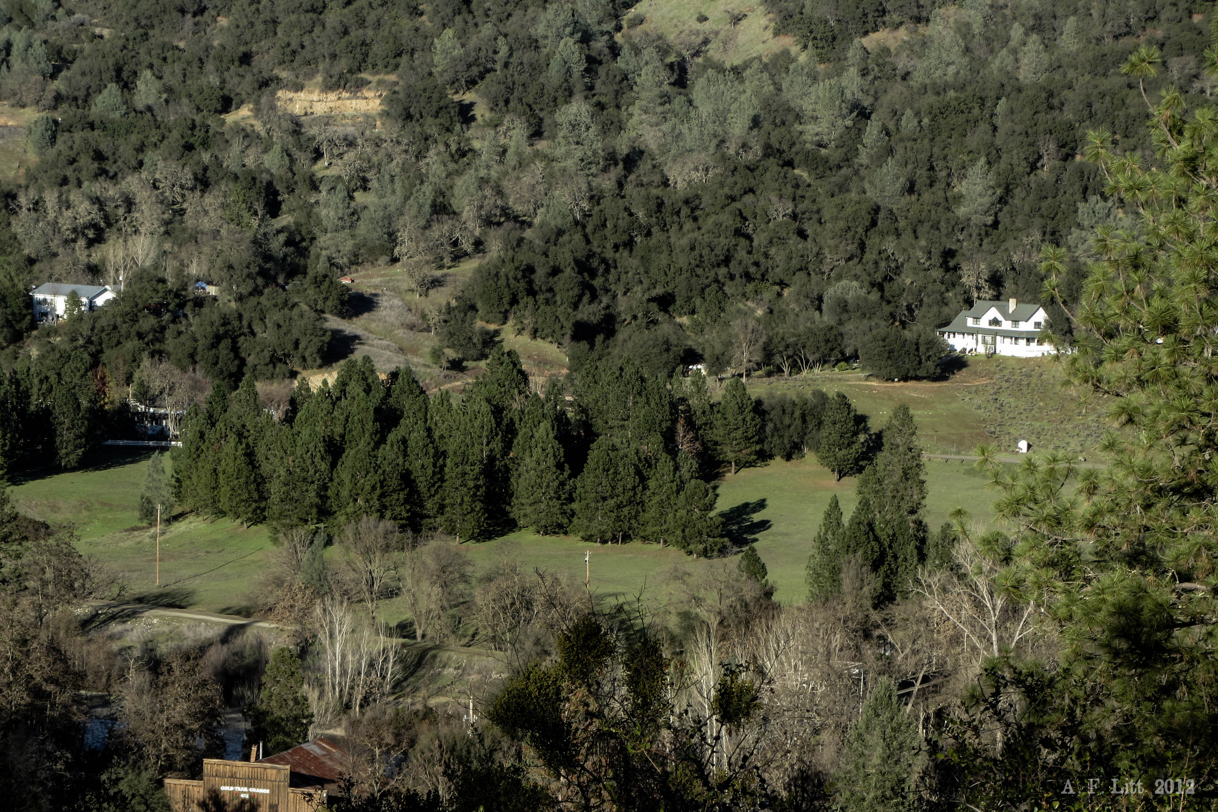
Forty Acres and a Mule

Morning on the river.
#rybridge wedding. Nice location.

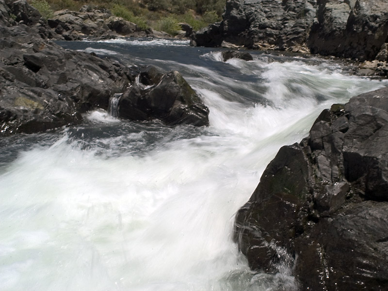
The Cauldron of Frigid Waters
Scenic-6

Rock Creek, El Dorado Co

Lone Boater on Oxbow Reservoir
Scenic-10

Thunderstorms in Tahoe National Forest

American River Canyon at Oxbow Reservoir
Explored the Cronan Ranch area near Coloma yesterday afternoon for the first time. Wonderful set of trails. There were some nice wildflowers on the Connector trail. #cronanranch #coloma #pilothill #hikingtrail #magnoliaranch #eldoradohills #visitcaliforni

Stillness, Reflected
SatansCesspool-3
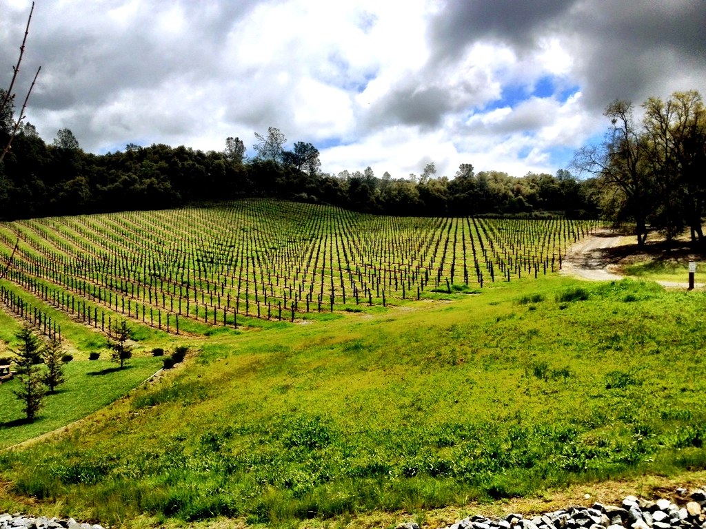
Spring in Wine Country

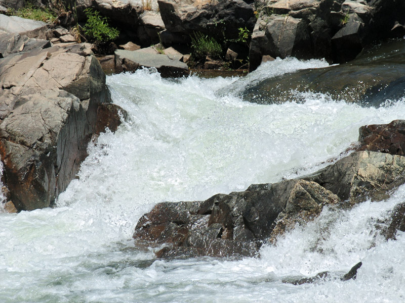
Yankee Jim's Waterfall

Yankee Jim's Waterfall
Topographic Map of Hanson Hollow Rd, Georgetown, CA, USA
Find elevation by address:

Places near Hanson Hollow Rd, Georgetown, CA, USA:
2731 Harkness St
1447 Shining Moon
6680 Chipmunk Trail
3441 Chipmunk Trail
Main Street
Georgetown
Jeepers Jamboree
6990 Wentworth Springs Rd
4046 Empire Creek Cir
6000 Lower Main St
Rolling Hills Drive
3020 Rolling Hills Dr
CA-, Georgetown, CA, USA
3040 Rolling Hills Dr
2050 Slat
2480 Fox Run Rd
2681 Buffalo Hill Rd
3031 Lasita Pl
Wentworth Springs Rd, Georgetown, CA, USA
4541 Mont Eaton Mine Rd
Recent Searches:
- Elevation of Rojo Ct, Atascadero, CA, USA
- Elevation of Flagstaff Drive, Flagstaff Dr, North Carolina, USA
- Elevation of Avery Ln, Lakeland, FL, USA
- Elevation of Woolwine, VA, USA
- Elevation of Lumagwas Diversified Farmers Multi-Purpose Cooperative, Lumagwas, Adtuyon, RV32+MH7, Pangantucan, Bukidnon, Philippines
- Elevation of Homestead Ridge, New Braunfels, TX, USA
- Elevation of Orchard Road, Orchard Rd, Marlborough, NY, USA
- Elevation of 12 Hutchinson Woods Dr, Fletcher, NC, USA
- Elevation of Holloway Ave, San Francisco, CA, USA
- Elevation of Norfolk, NY, USA