Elevation of Buffalo Hill Rd, Georgetown, CA, USA
Location: United States > California > El Dorado County > Georgetown >
Longitude: -120.85394
Latitude: 38.9110267
Elevation: -10000m / -32808feet
Barometric Pressure: 295KPa
Elevation Map:
Satellite Map:
Related Photos:

Before the Rain

Hand Stacked Rock Wall – Can You Find the Funny Feature?

The Old Bayley House 2674

RV Camping..
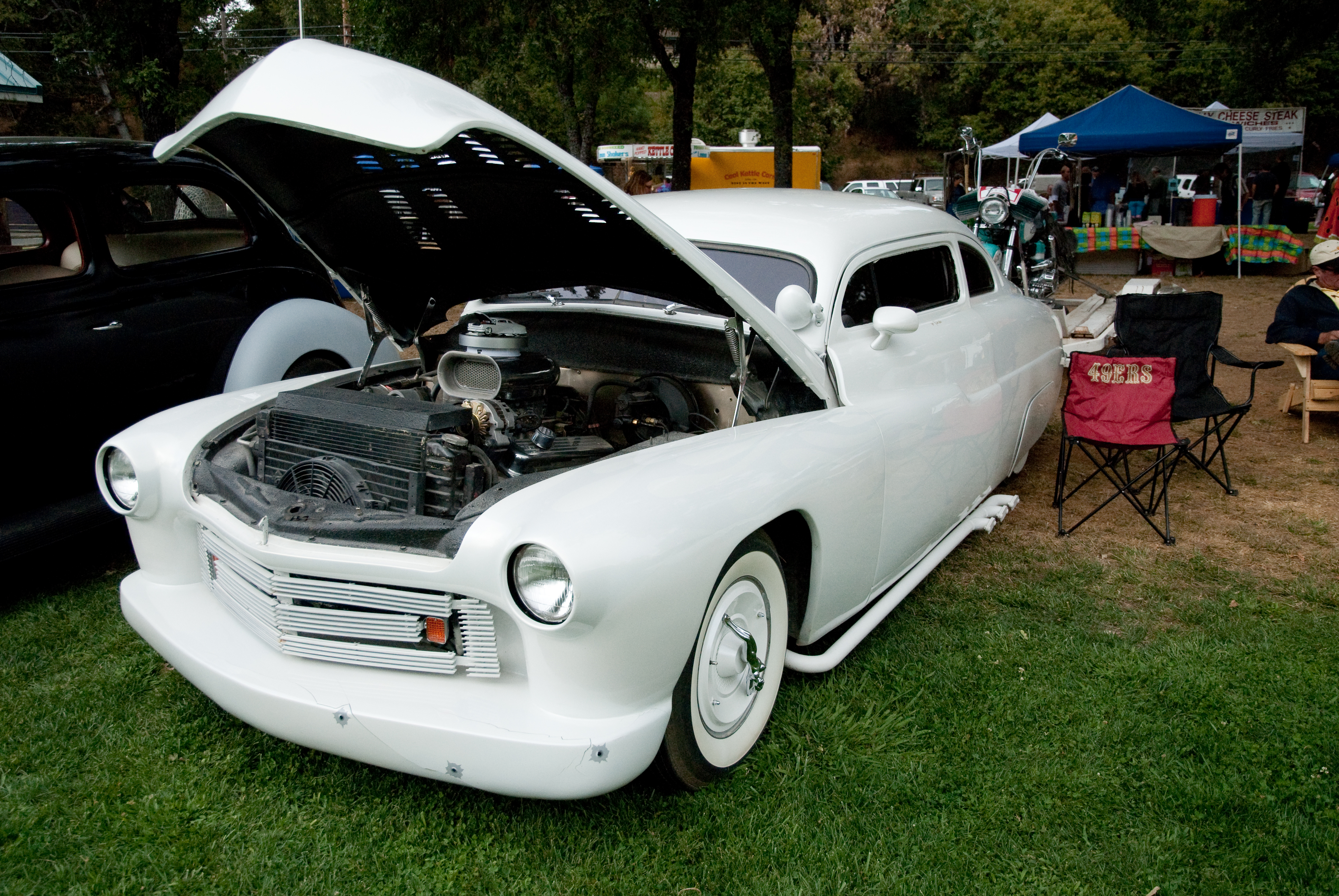
GVCarShow-6

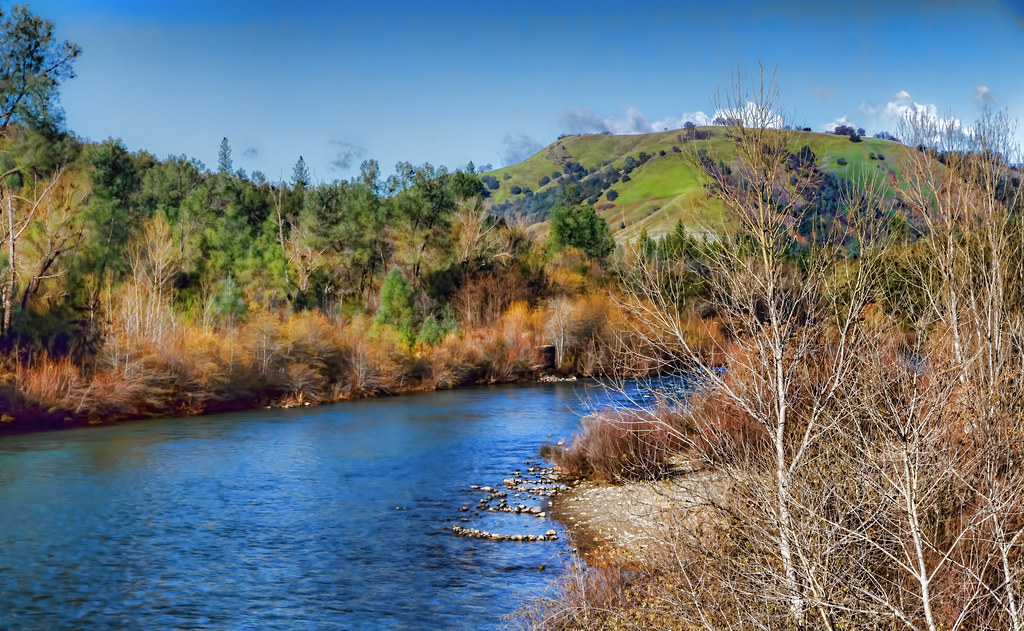
Lake Clementine and Lime Rock; March 2007

Marshall Gold Discovery State Historic Park
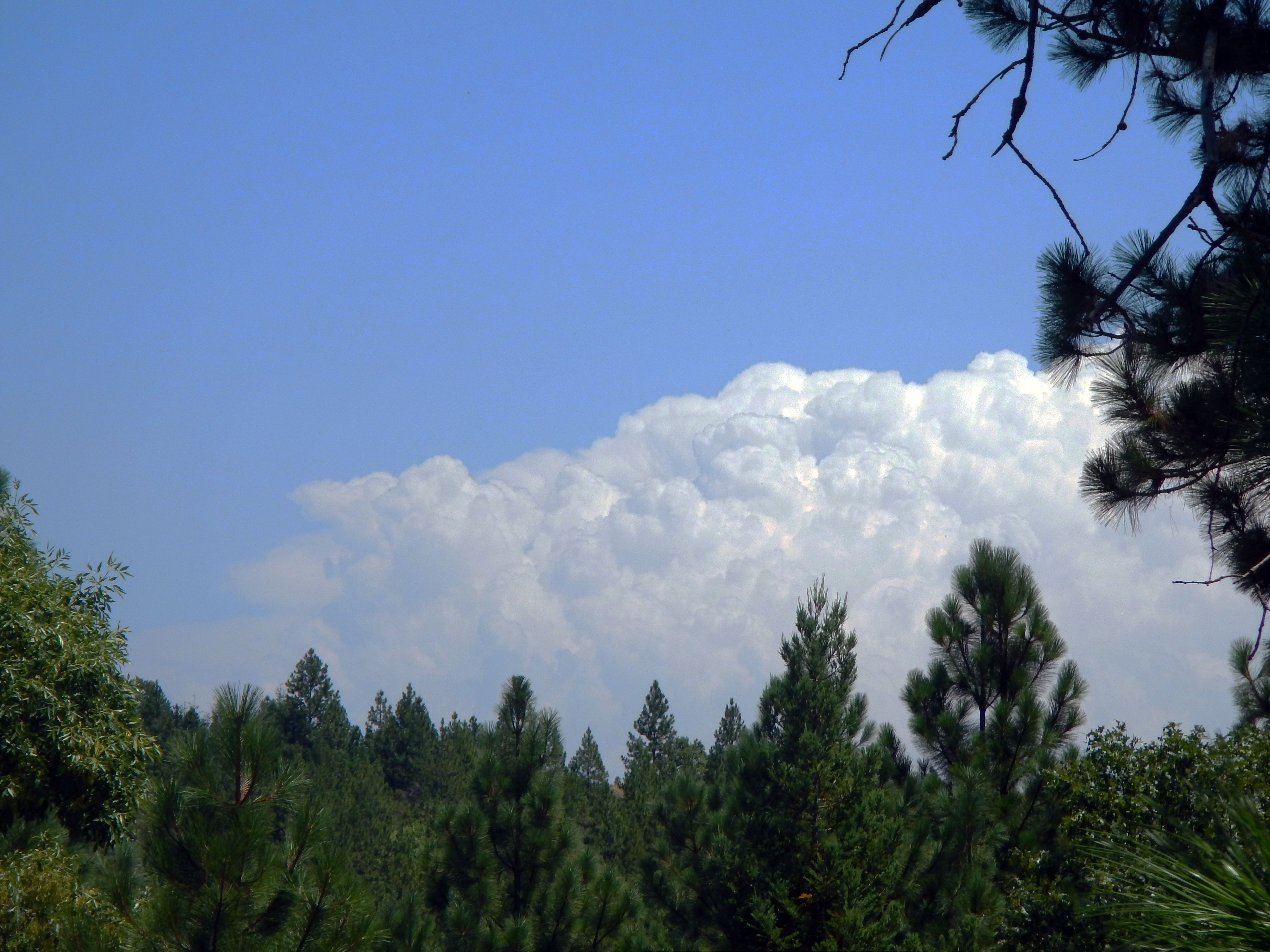
Thunderclouds Over the Crest

View from James Marshal Monument. Marshal Gold Discovery State Historic Park. Coloma, California. December 20, 2012.

Road to the Clouds

Dark Thunderclouds

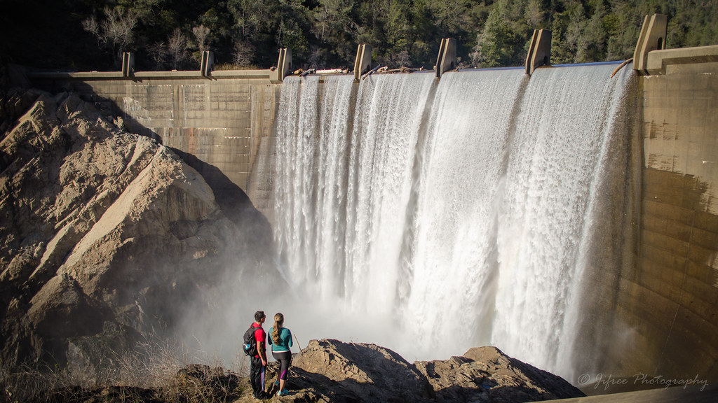
Clementine Dam - California

Clementine Dam - California

Clementine Dam - California

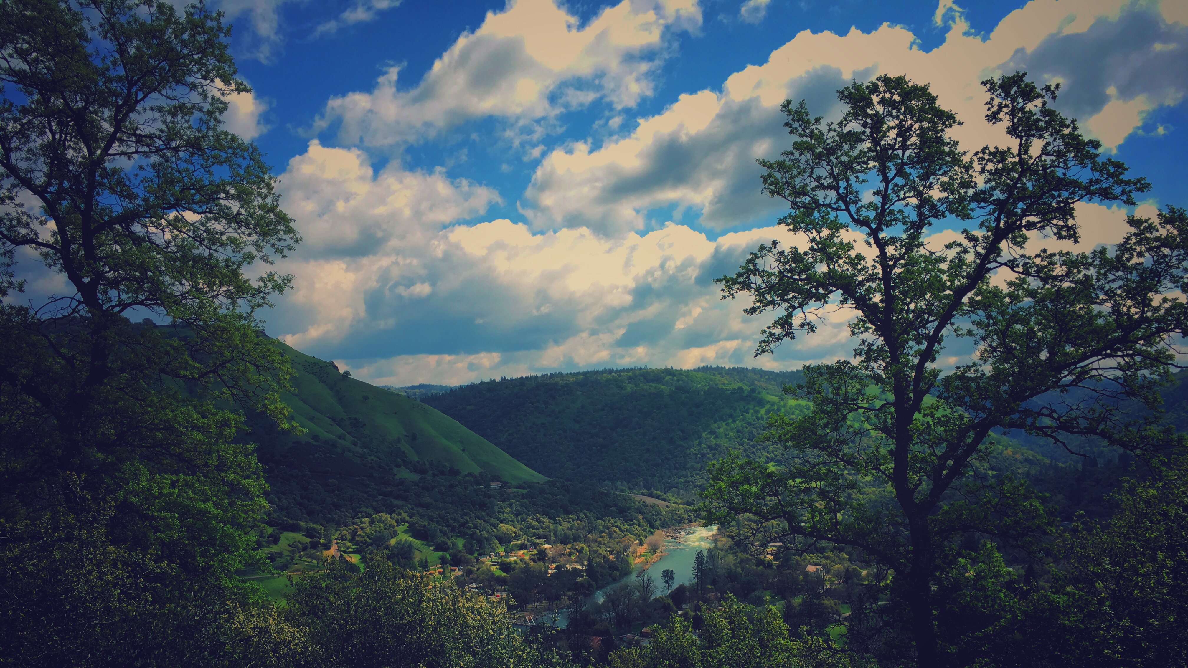
American River - Forest Hill, CA

North Fork American River

Clementine Dam - California

psycho runner
Couple-2059

Bridge Structure

Morning Services

Foresthill Bridge
Lake Clementine Dam
A Winter Morning Along the South Fork of the American River

Forty Acres and a Mule

Sutter's Mill, Coloma, California Gold Rush Historic Site

Marshall Gold Discovery State Historic Park

Devil's Falls (Smooth)

The Cauldron of Frigid Waters

Yankee Jim's Waterfall

Devil's Falls (Grunge)

South Fork of the American River at Sutter's Fort, Coloma, California

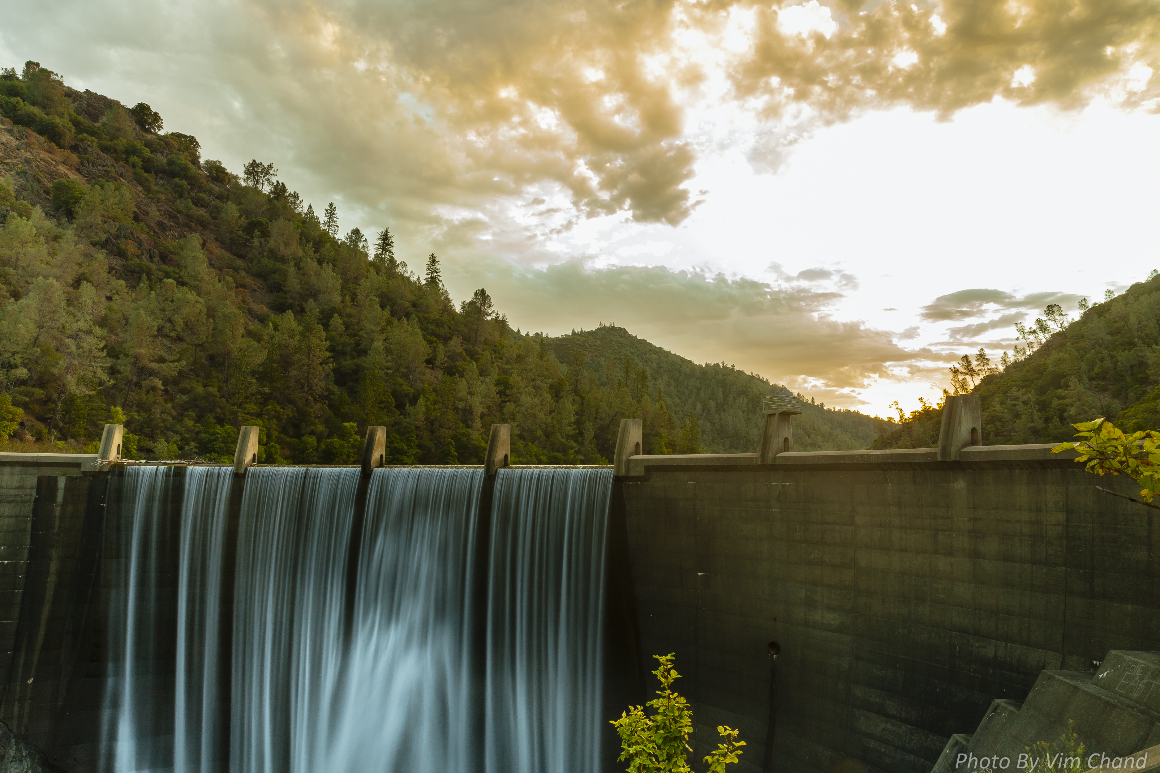
Lake Clementine Dam HDR
finding gold in the valley of Coloma

moss and mist

Yankee Jim's Waterfall

Clementine Dam - California
Topographic Map of Buffalo Hill Rd, Georgetown, CA, USA
Find elevation by address:

Places near Buffalo Hill Rd, Georgetown, CA, USA:
3031 Lasita Pl
CA-, Georgetown, CA, USA
3040 Rolling Hills Dr
3020 Rolling Hills Dr
Rolling Hills Drive
6000 Lower Main St
6245 Aerodrome Way
4046 Empire Creek Cir
Jeepers Jamboree
Georgetown
Main Street
5225 Ca-193
4541 Mont Eaton Mine Rd
2731 Harkness St
3181 Hanson Hollow Rd
4000 Marshall Rd
3950 Jacobus Dr
1447 Shining Moon
6680 Chipmunk Trail
3441 Chipmunk Trail
Recent Searches:
- Elevation of Corso Fratelli Cairoli, 35, Macerata MC, Italy
- Elevation of Tallevast Rd, Sarasota, FL, USA
- Elevation of 4th St E, Sonoma, CA, USA
- Elevation of Black Hollow Rd, Pennsdale, PA, USA
- Elevation of Oakland Ave, Williamsport, PA, USA
- Elevation of Pedrógão Grande, Portugal
- Elevation of Klee Dr, Martinsburg, WV, USA
- Elevation of Via Roma, Pieranica CR, Italy
- Elevation of Tavkvetili Mountain, Georgia
- Elevation of Hartfords Bluff Cir, Mt Pleasant, SC, USA