Elevation of Shining Moon, Georgetown, CA, USA
Location: United States > California > El Dorado County > Georgetown >
Longitude: -120.81686
Latitude: 38.913068
Elevation: 914m / 2999feet
Barometric Pressure: 91KPa
Elevation Map:
Satellite Map:
Related Photos:
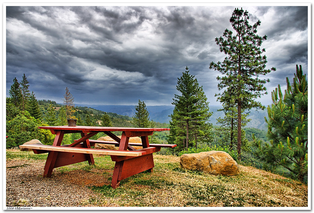
Before the Rain

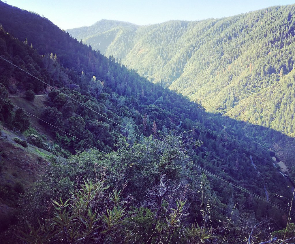
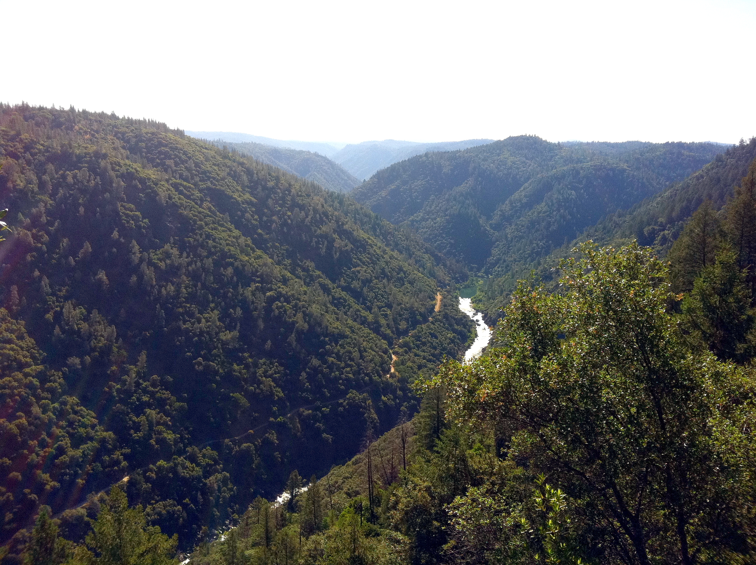
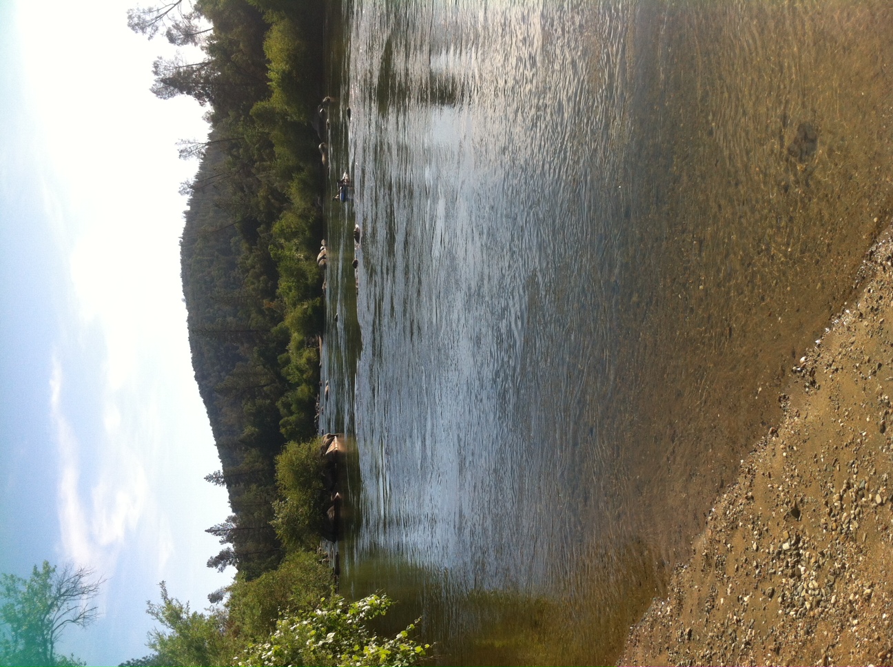
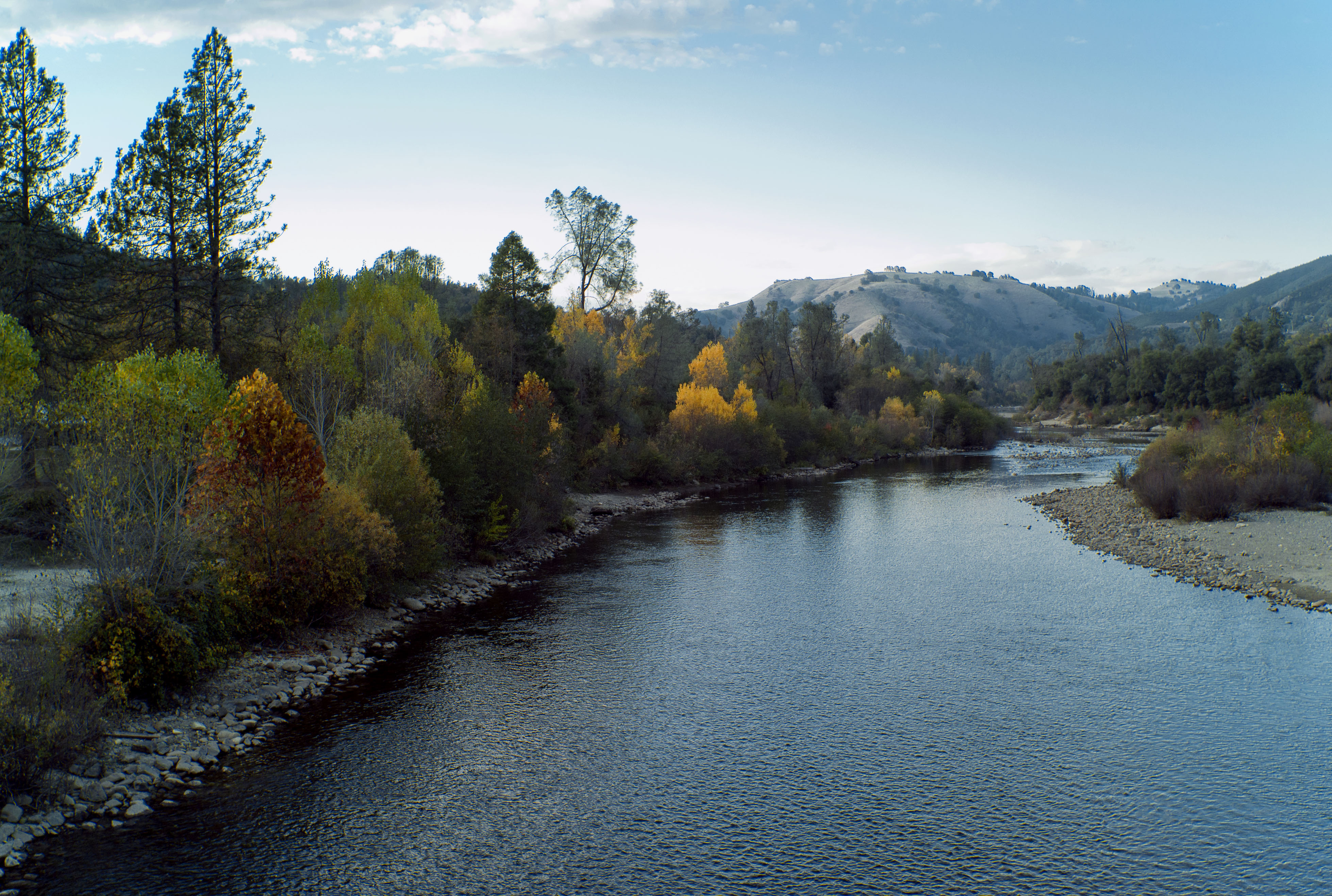
North Fork American River

Black-headed Grosbeak
View from almost the top of Ralston Ridge
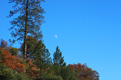
Midday Moon 1786
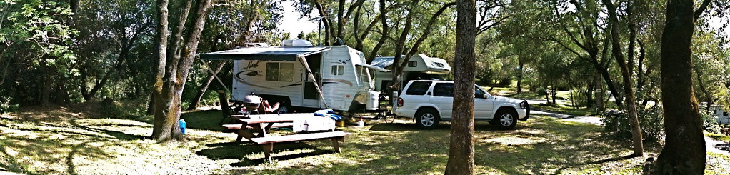
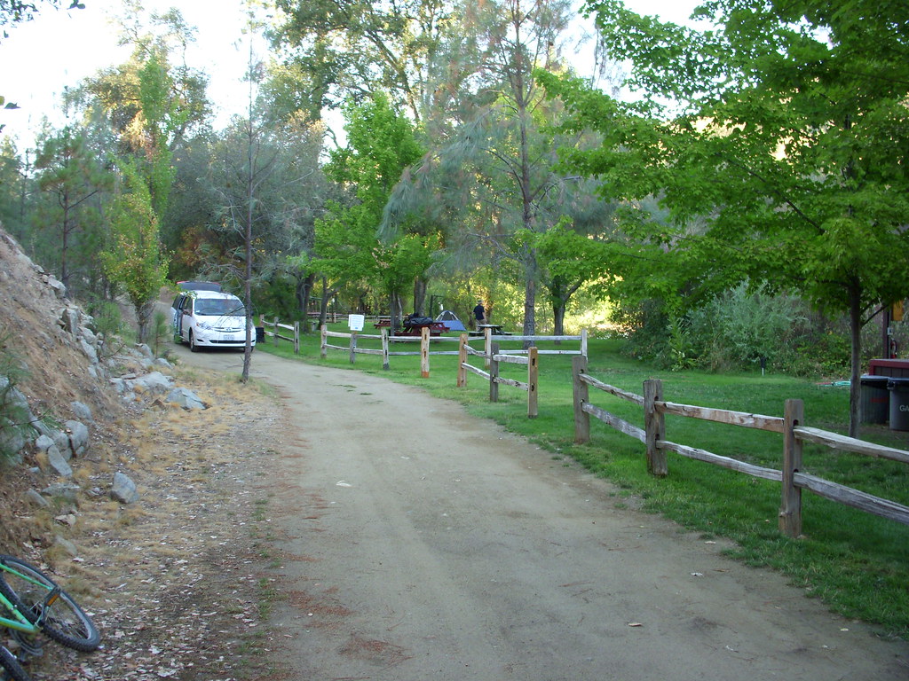
RV Camping..
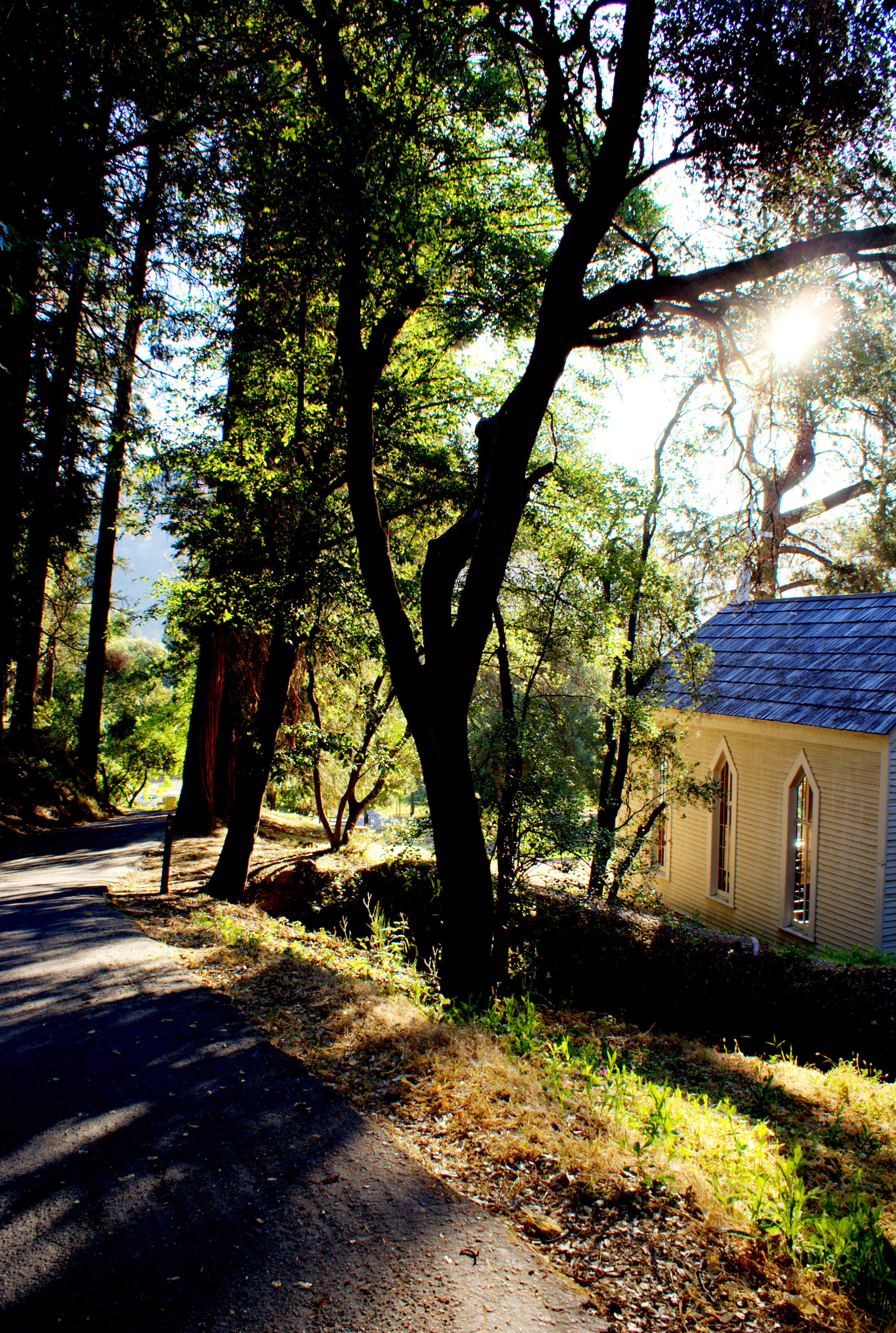
Morning Services

psycho runner

Thunderclouds Over the Crest
Auburn 32-mile Hike
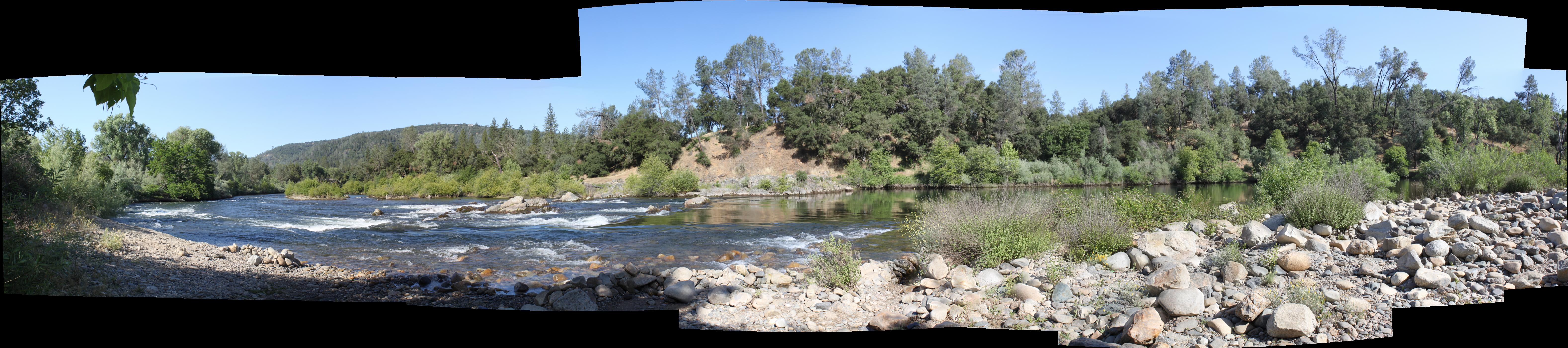
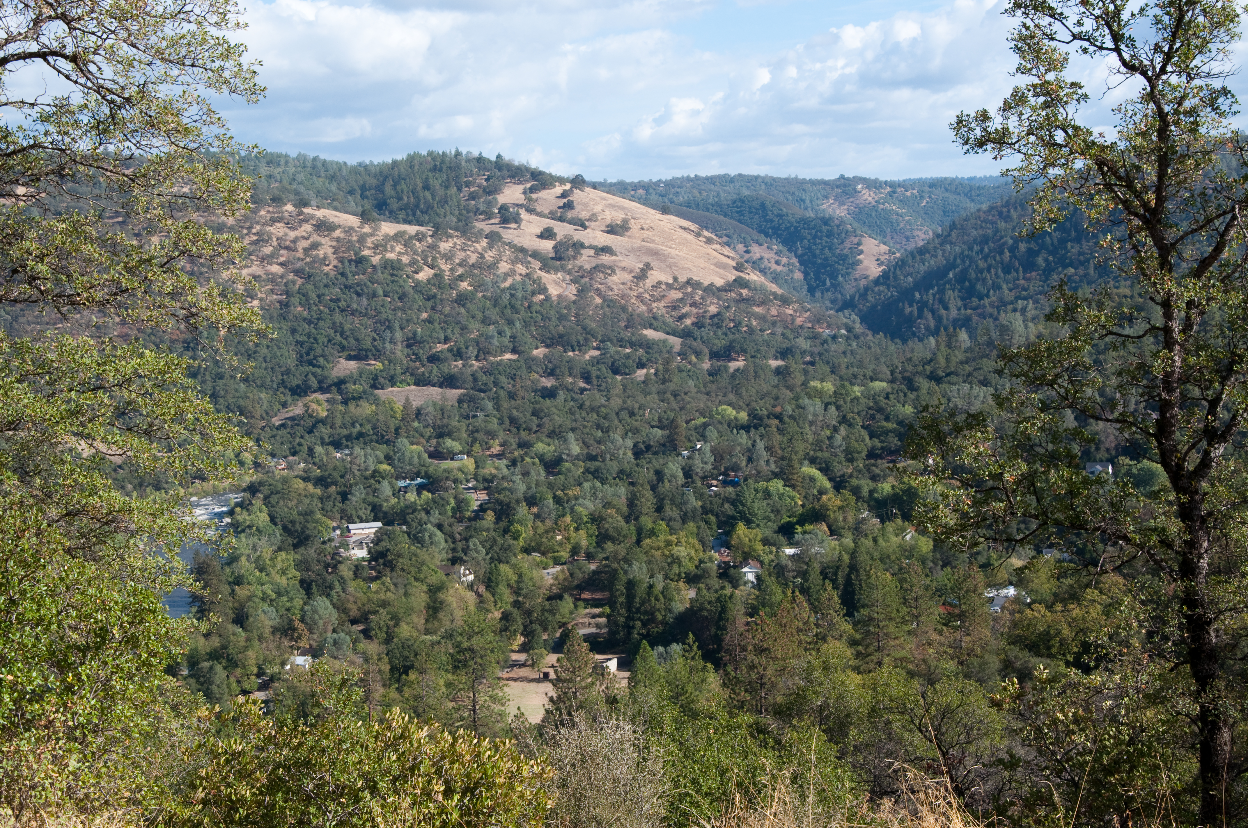
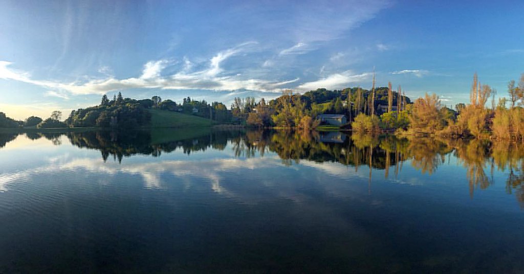
South Fork Panorama
View from James Marshal Monument. Marshal Gold Discovery State Historic Park. Coloma, California. December 20, 2012.

GVCarShow-6
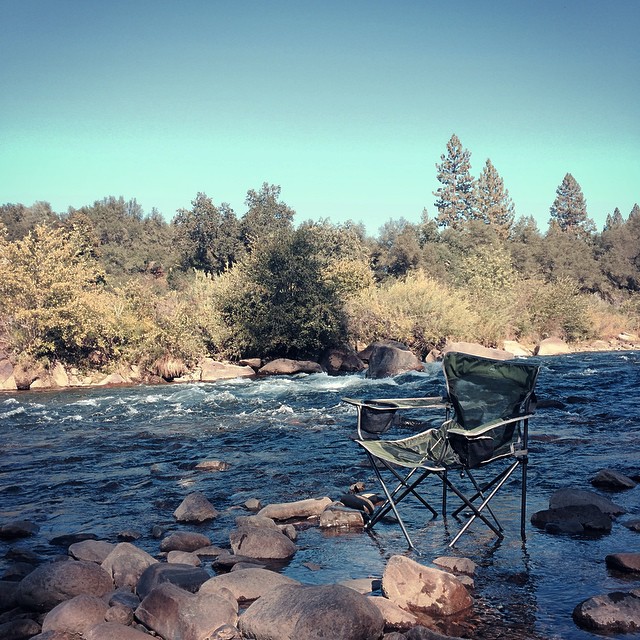
da river view from our campsite

Western States runner

The View

View from almost the top of Ralston Ridge
View of the River
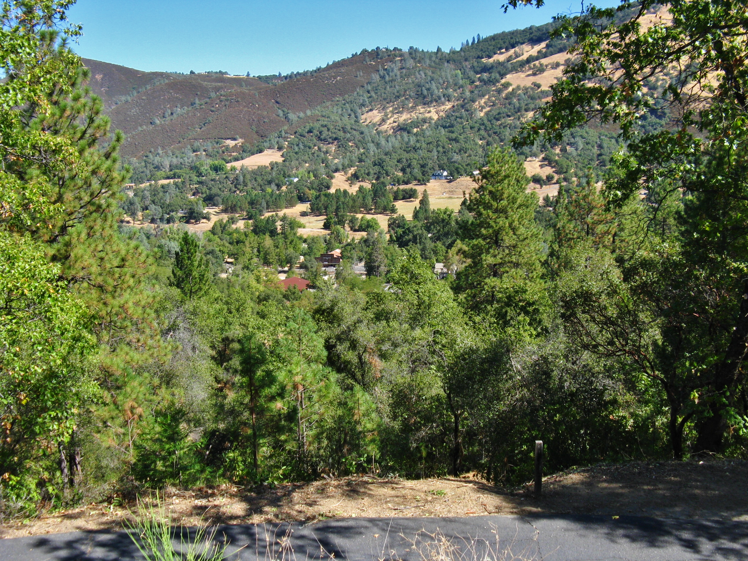
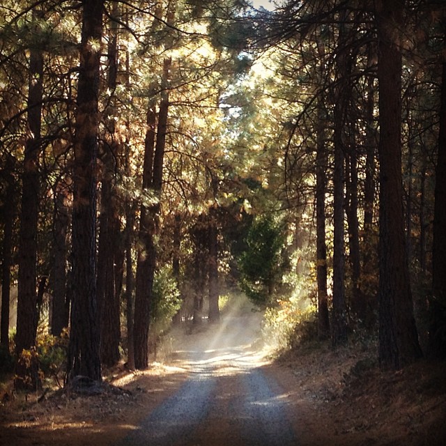
View from the road
Marshall Gold Discovery State Historic Park

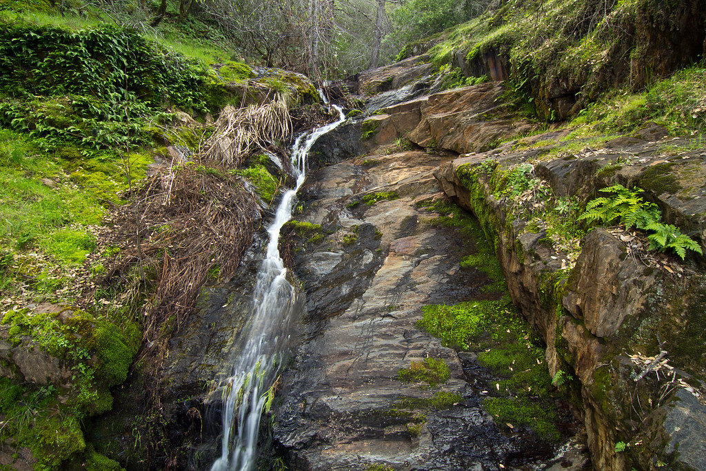
Yankee Jim's Waterfall
Sometimes you get off the bike and take a hike around the lake... #lakeview #california #perfectday #hiking #trails #homestate #hearthealth #cardio #hikecalifornia #sunshine #peace #quiet #reflection

Falling Away
In Bear Country
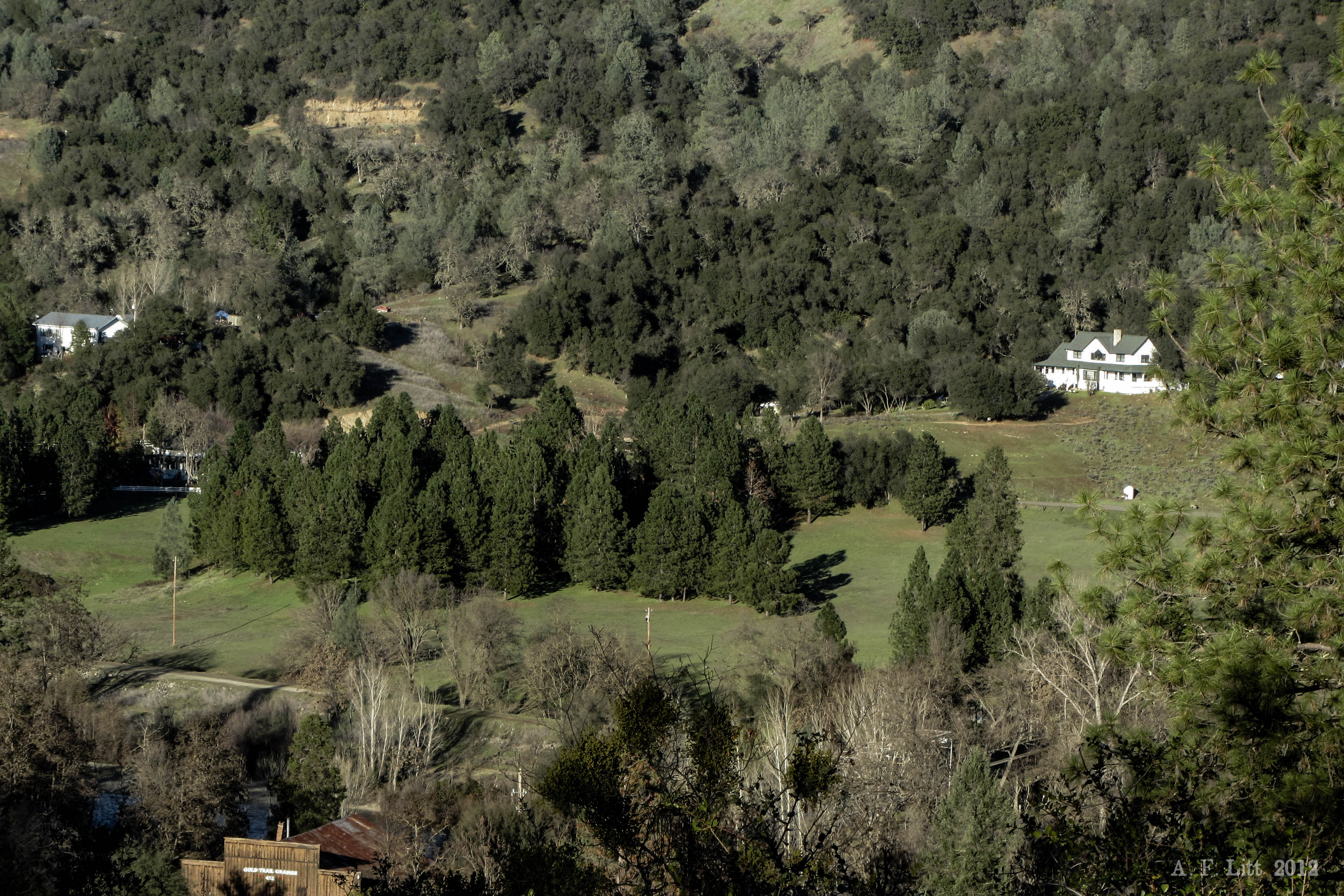
Forty Acres and a Mule

American River Canyon
Ken & Carol
#rybridge wedding. Nice location.
the spot.
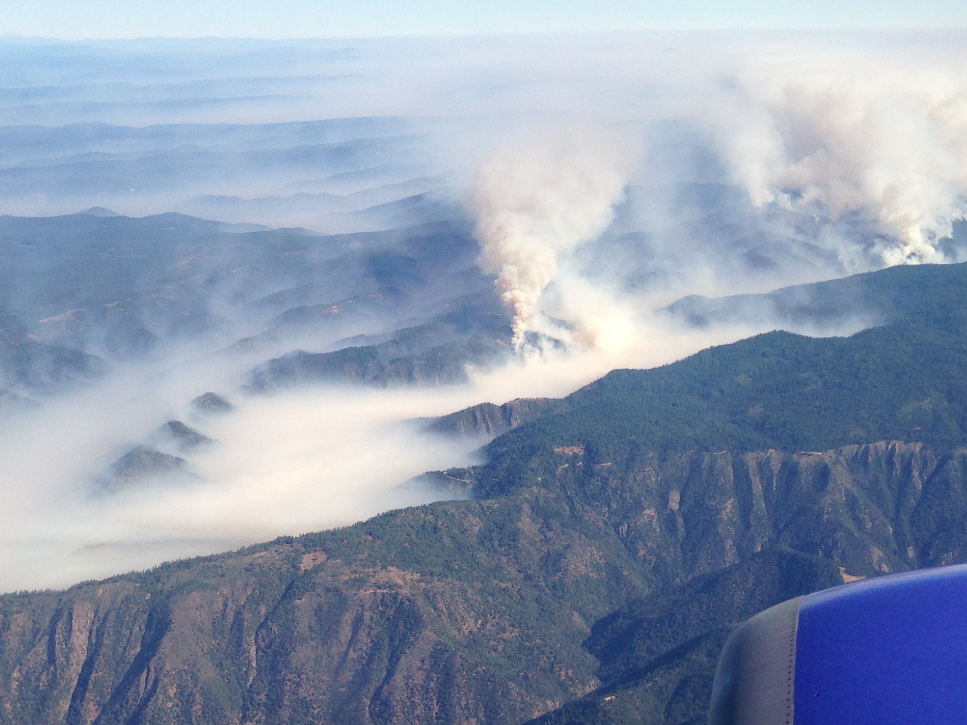
Southwest Airlines' flight from Las Vegas today flew over the American Fire. Image: Bill Roush
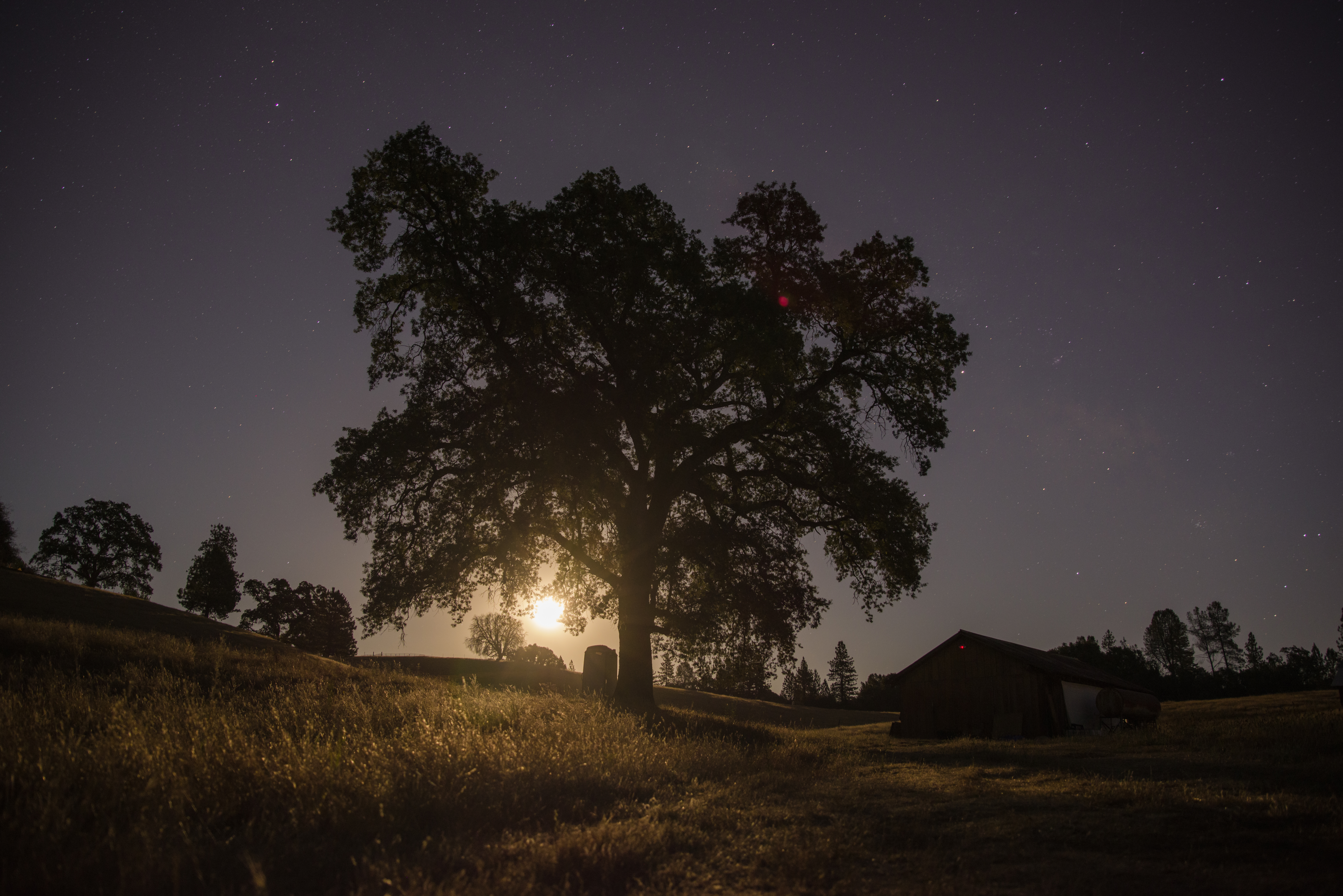
Midnight Moonrise
early winter
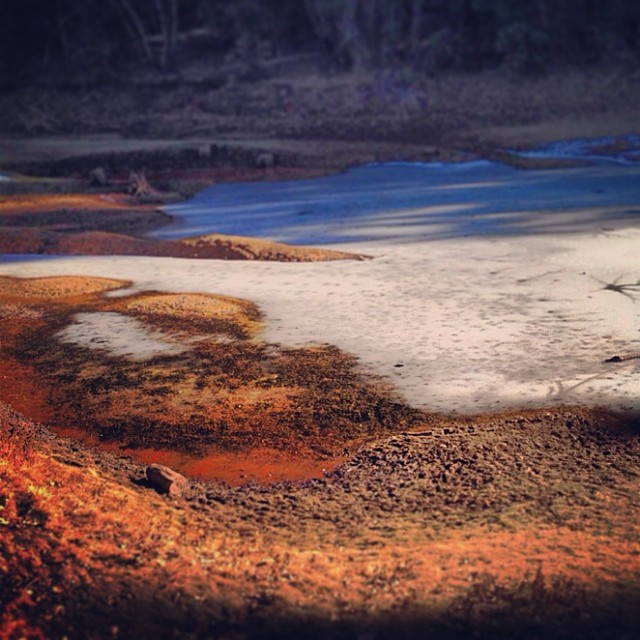
Sunken ice pond

Rock Creek, El Dorado Co

Rafting Tunnel Chute

Scenic-10
Rock Creek, El Dorado Co

Magnolia Ranch trailhead

American River Canyon at Oxbow Reservoir
Topographic Map of Shining Moon, Georgetown, CA, USA
Find elevation by address:

Places near Shining Moon, Georgetown, CA, USA:
6680 Chipmunk Trail
3441 Chipmunk Trail
6990 Wentworth Springs Rd
3181 Hanson Hollow Rd
2731 Harkness St
Main Street
2480 Fox Run Rd
Georgetown
Wentworth Springs Rd, Georgetown, CA, USA
Jeepers Jamboree
4046 Empire Creek Cir
6000 Lower Main St
3020 Rolling Hills Dr
Rolling Hills Drive
CA-, Georgetown, CA, USA
3040 Rolling Hills Dr
2681 Buffalo Hill Rd
3031 Lasita Pl
2050 Slat
7120 Chestnut Hill Rd
Recent Searches:
- Elevation of 30 Oak Lawn Dr, Barkhamsted, CT, USA
- Elevation of Luther Road, Luther Rd, Auburn, CA, USA
- Elevation of Unnamed Road, Respublika Severnaya Osetiya — Alaniya, Russia
- Elevation of Verkhny Fiagdon, North Ossetia–Alania Republic, Russia
- Elevation of F. Viola Hiway, San Rafael, Bulacan, Philippines
- Elevation of Herbage Dr, Gulfport, MS, USA
- Elevation of Lilac Cir, Haldimand, ON N3W 2G9, Canada
- Elevation of Harrod Branch Road, Harrod Branch Rd, Kentucky, USA
- Elevation of Wyndham Grand Barbados Sam Lords Castle All Inclusive Resort, End of Belair Road, Long Bay, Bridgetown Barbados
- Elevation of Iga Trl, Maggie Valley, NC, USA