Elevation of Empire Creek Cir, Georgetown, CA, USA
Location: United States > California > El Dorado County > Georgetown >
Longitude: -120.84167
Latitude: 38.9025253
Elevation: 798m / 2618feet
Barometric Pressure: 92KPa
Elevation Map:
Satellite Map:
Related Photos:
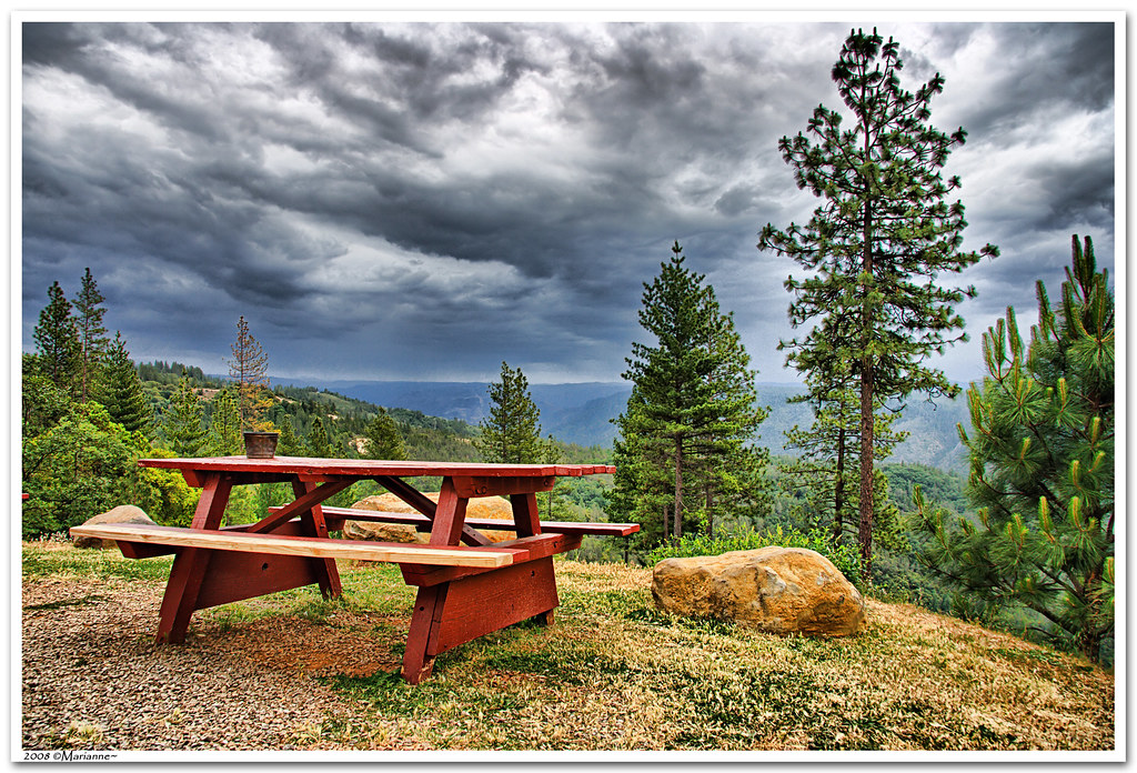
Before the Rain

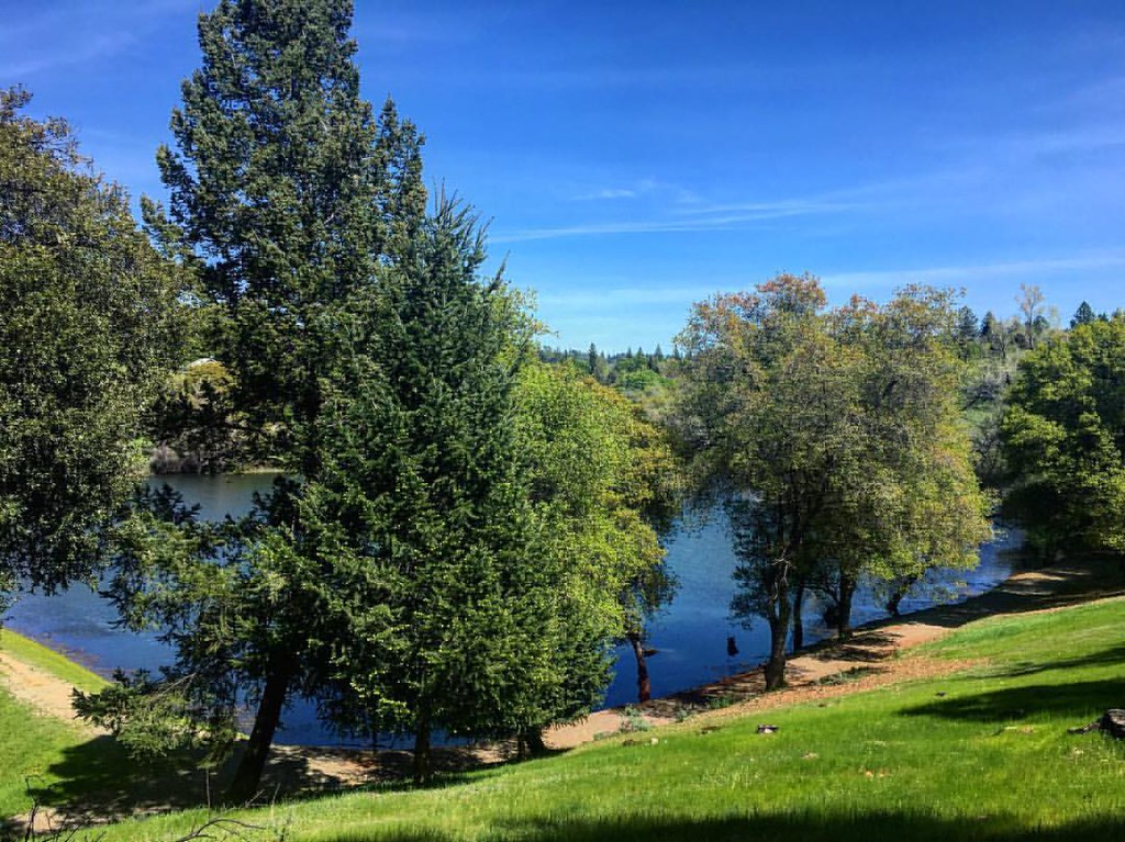
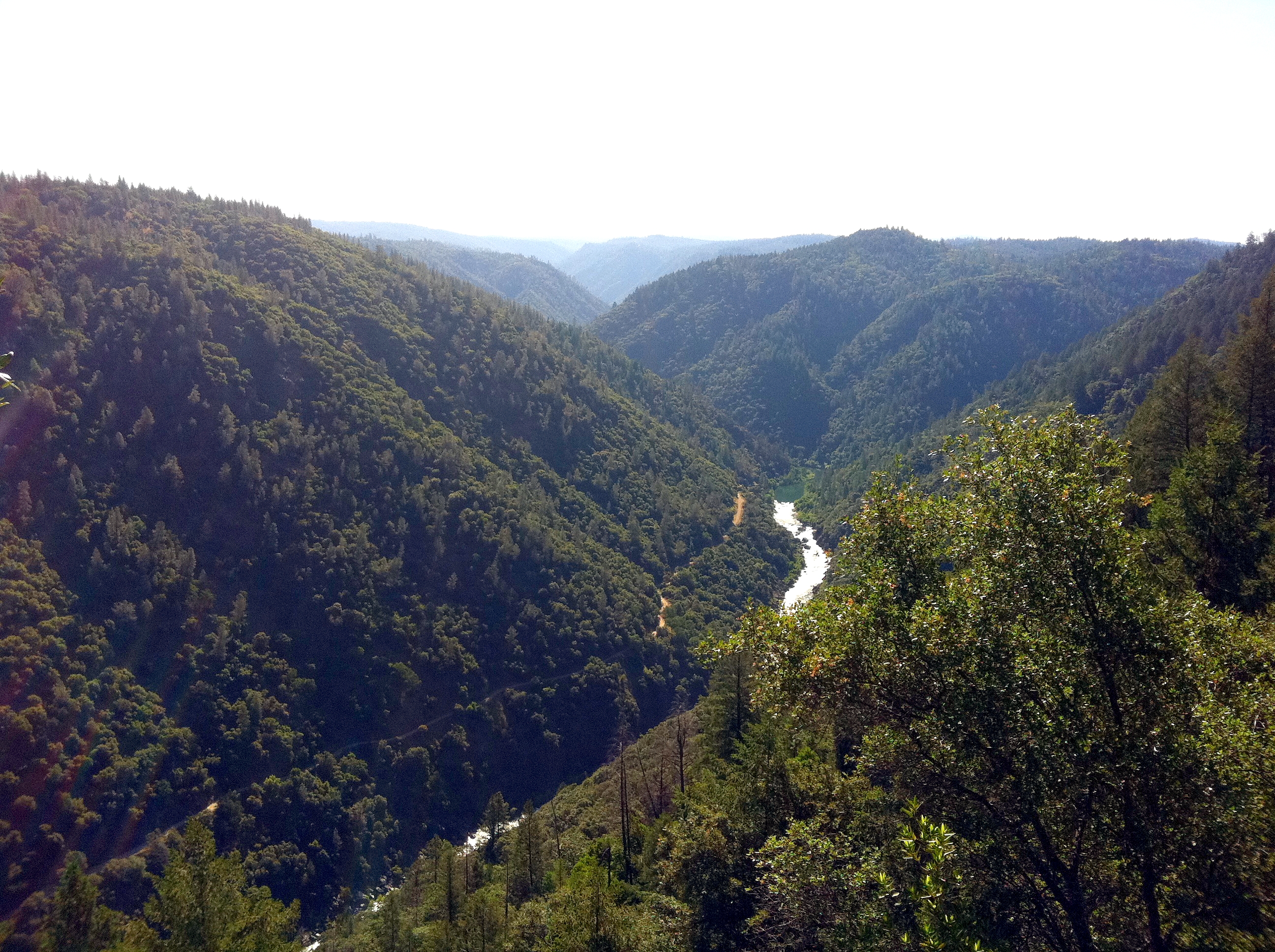
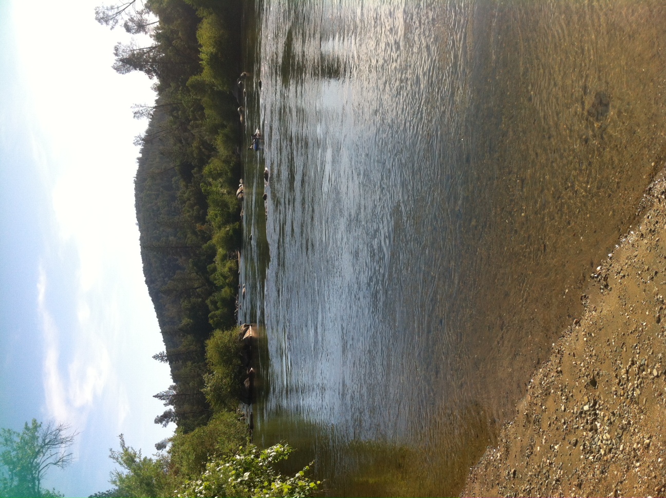
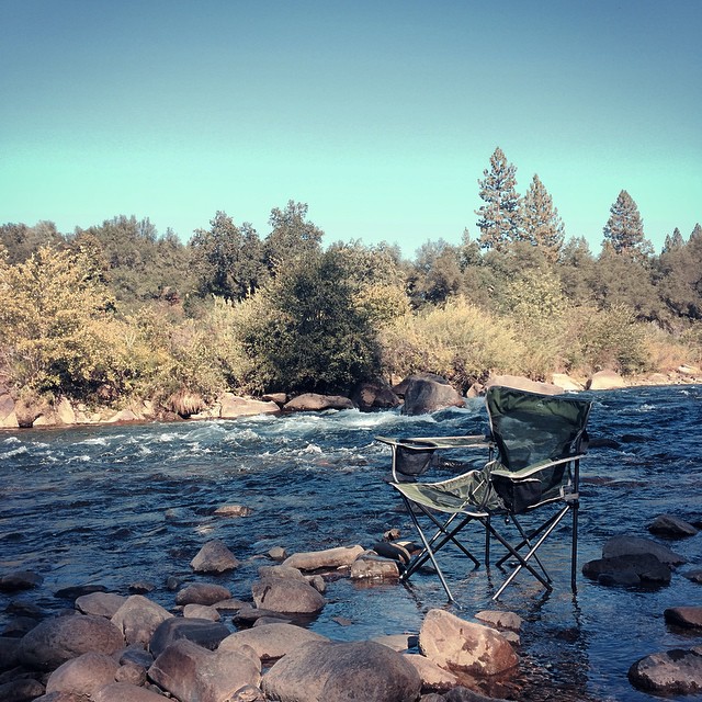
North Fork American River
Green. Blue. Good book. Good view. Perfect weather. #california #sunshine #view #peace #quiet

The view from Foresthill
View from almost the top of Ralston Ridge
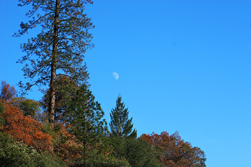
Midday Moon 1786
Cool Cave Diggins
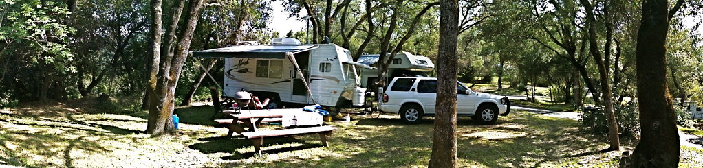
RV Camping..
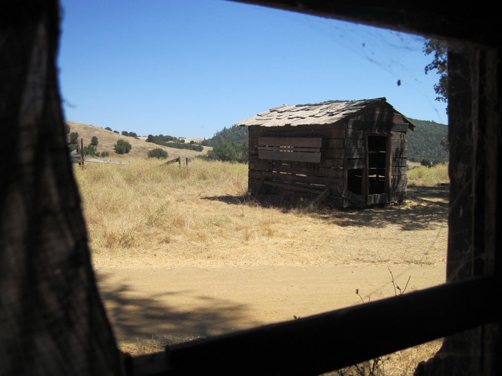
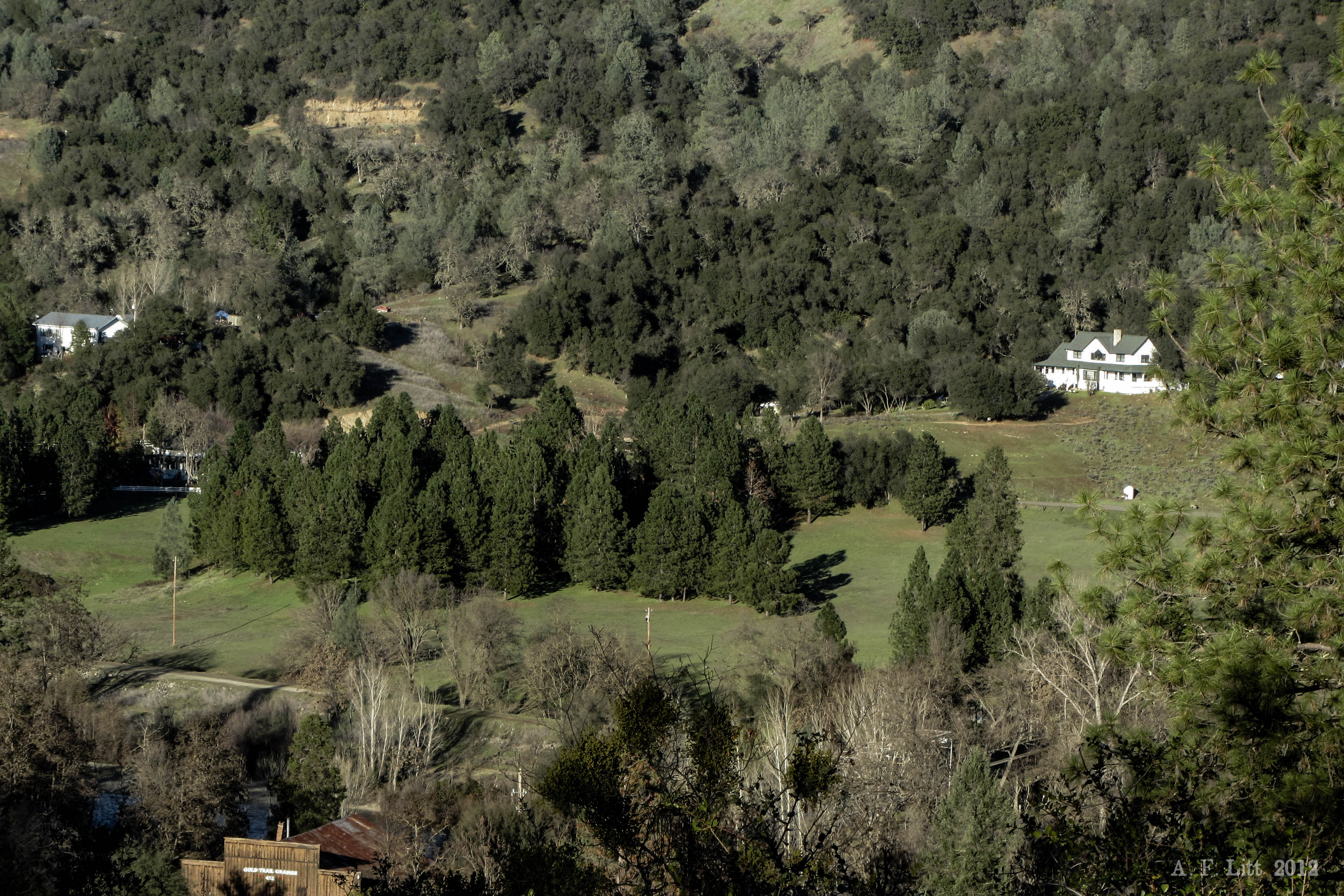
Cronan Ranch House view out
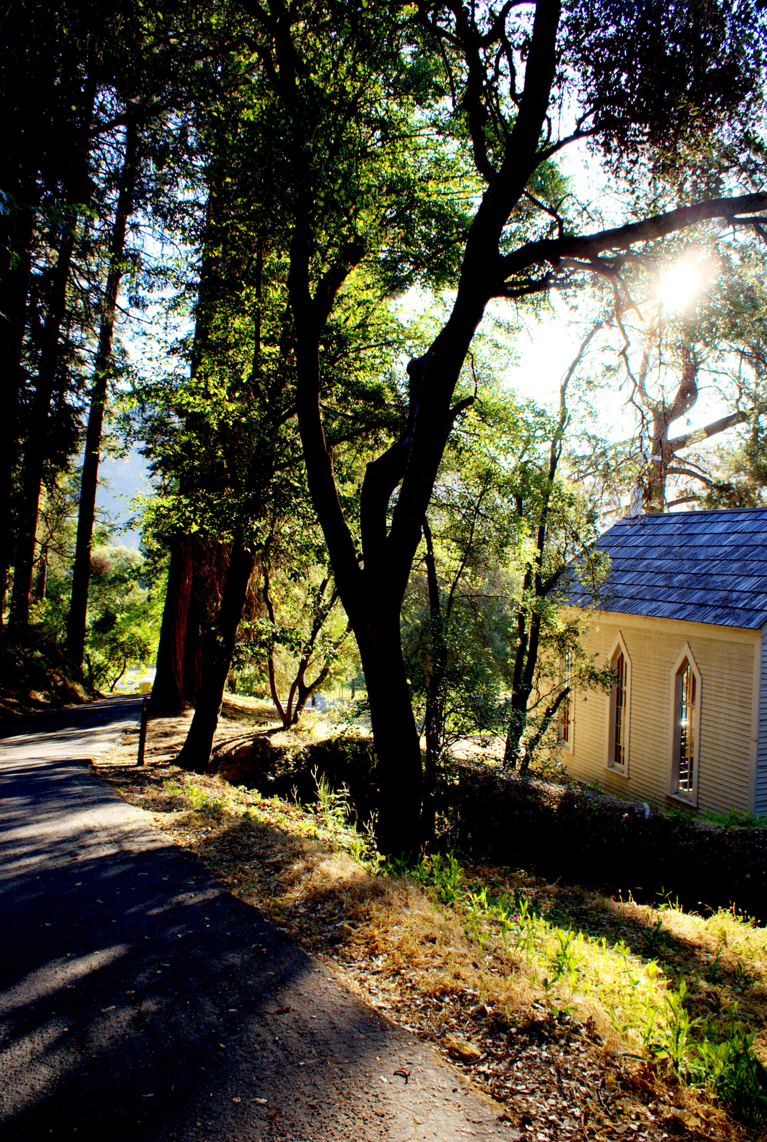
Morning Services

psycho runner
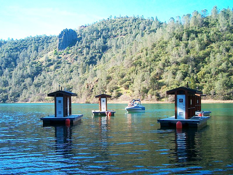
Lake Clementine and Lime Rock; March 2007

Thunderclouds Over the Crest
Auburn 32-mile Hike
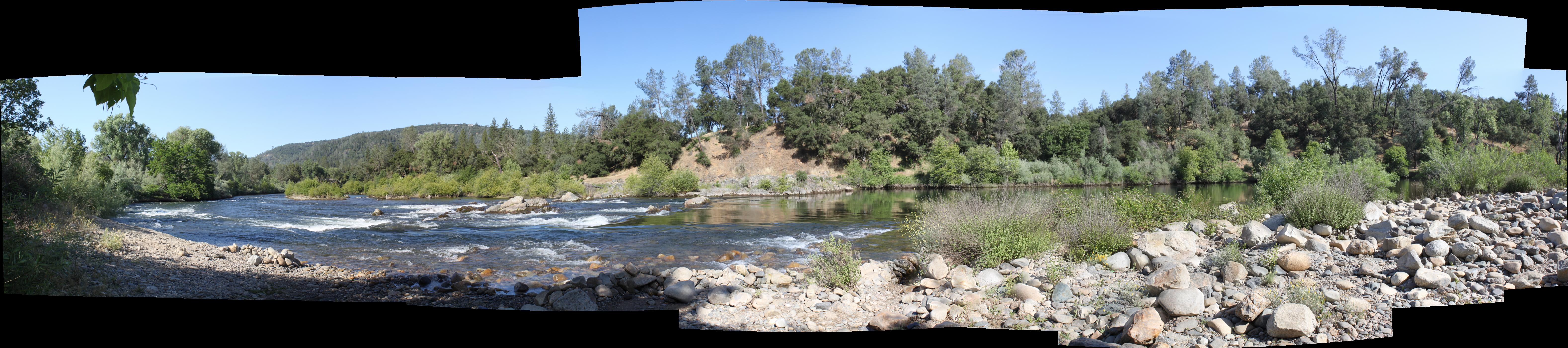
South Fork Panorama
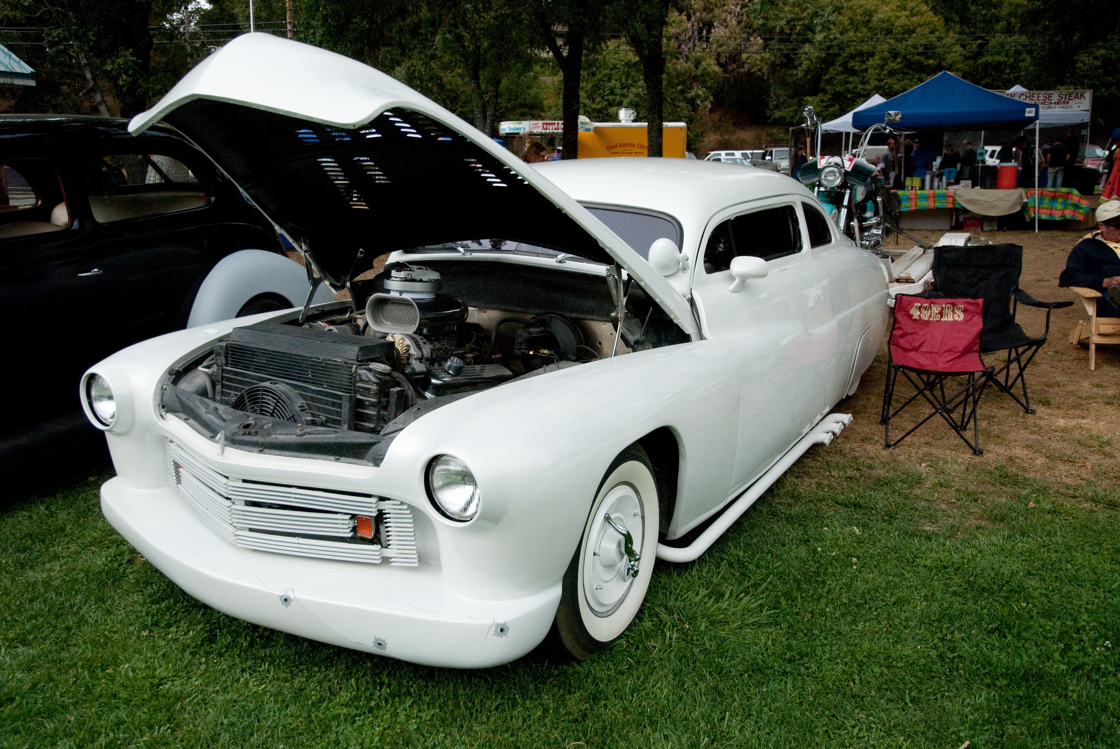
GVCarShow-6

Western States runner

View from almost the top of Ralston Ridge
View from James Marshal Monument. Marshal Gold Discovery State Historic Park. Coloma, California. December 20, 2012.
da river view from our campsite

The View
Sometimes you get off the bike and take a hike around the lake... #lakeview #california #perfectday #hiking #trails #homestate #hearthealth #cardio #hikecalifornia #sunshine #peace #quiet #reflection

moss and mist

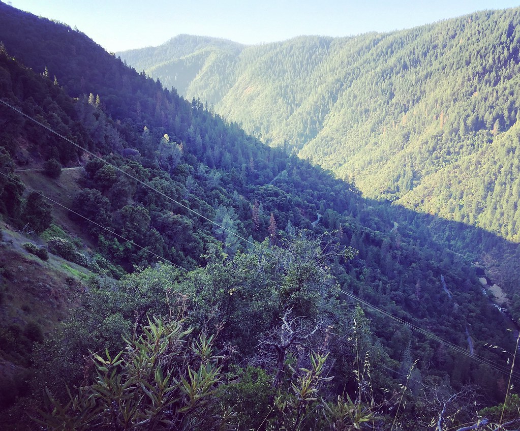
American River Canyon
#rybridge wedding. Nice location.
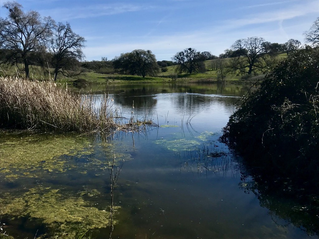
Sunken ice pond

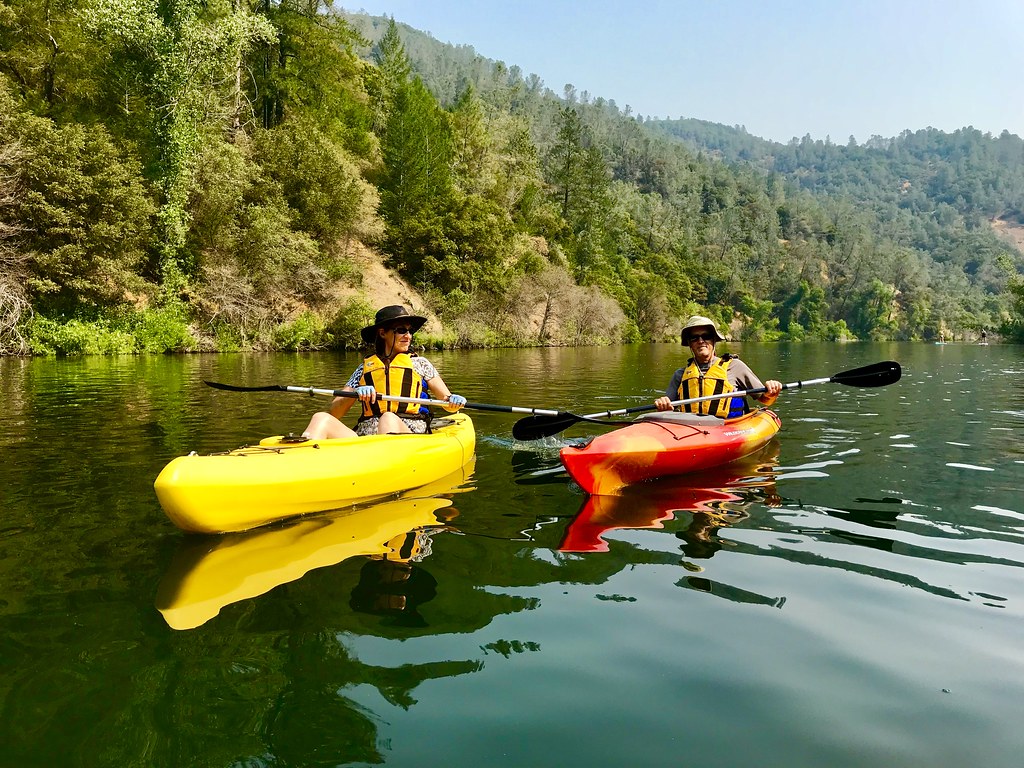
Rafting Tunnel Chute

Magnolia Ranch trailhead

Yankee Jim's Waterfall

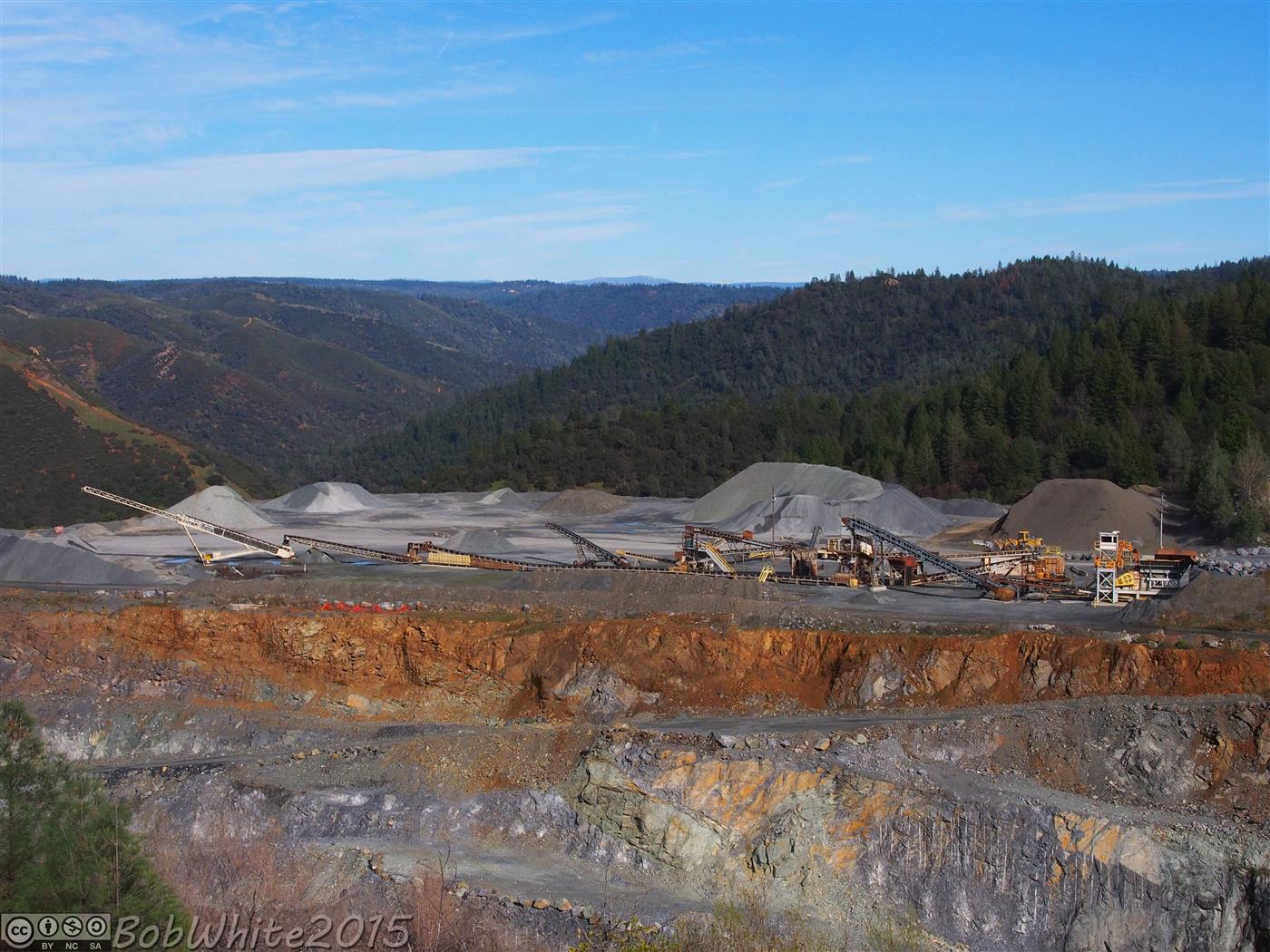
Cool Quarry

Falling Away
On Belay
Forty Acres and a Mule
The Quarry
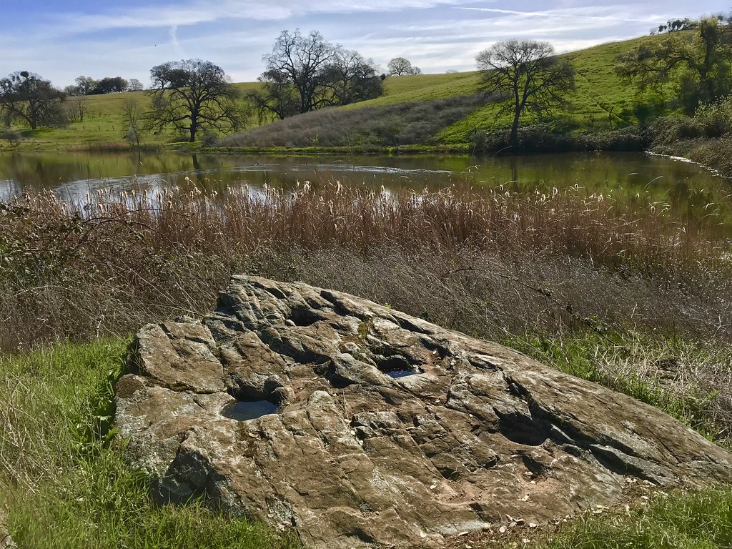
Grinding Rock
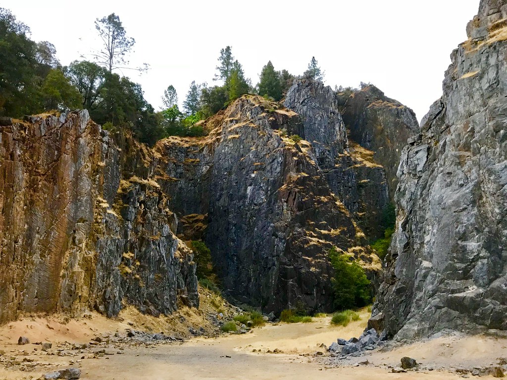
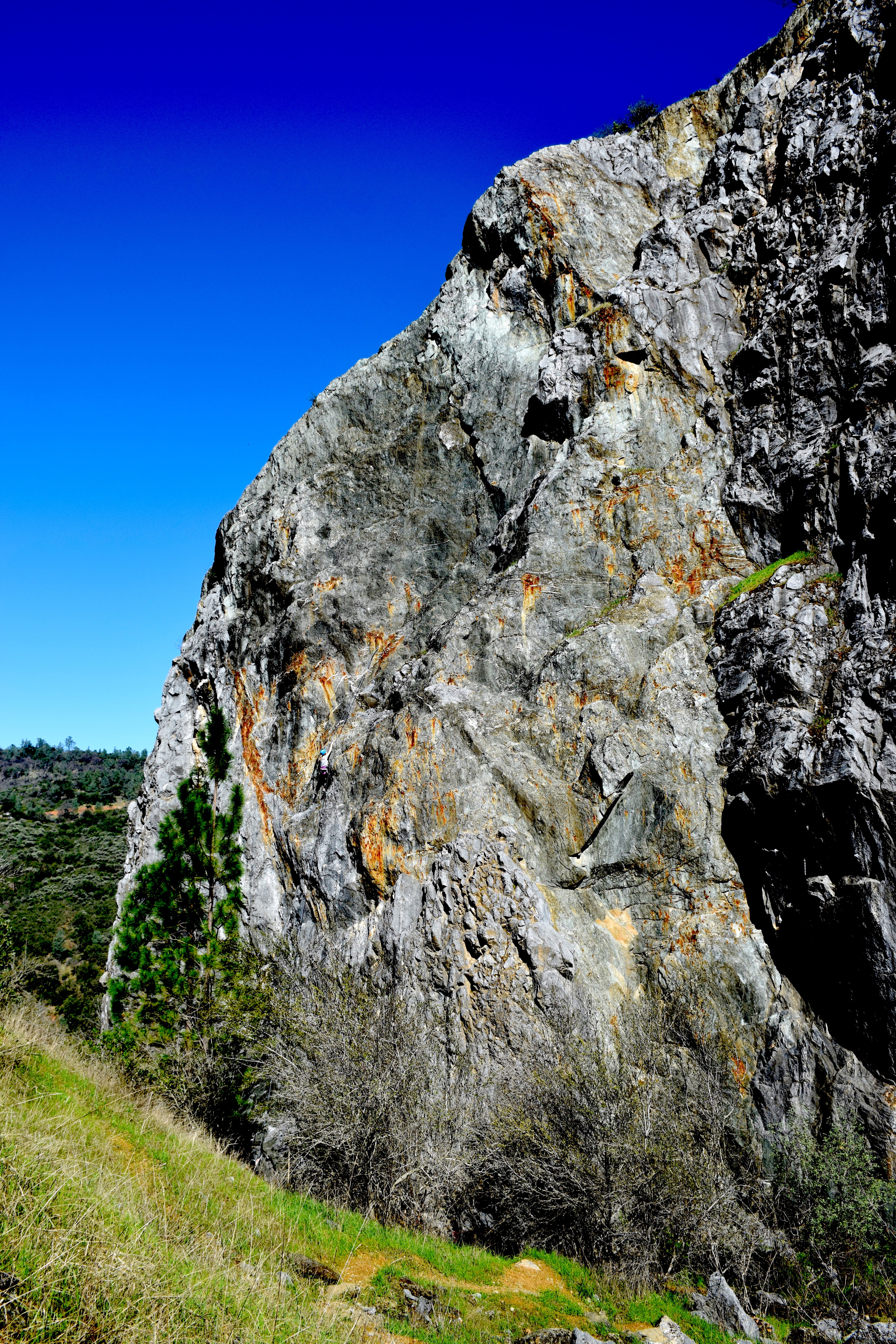
Quarry Climbing Area
Water Break
Ken & Carol
the spot.
Auburn Climbing
Topographic Map of Empire Creek Cir, Georgetown, CA, USA
Find elevation by address:

Places near Empire Creek Cir, Georgetown, CA, USA:
6000 Lower Main St
Jeepers Jamboree
Rolling Hills Drive
Georgetown
3020 Rolling Hills Dr
3040 Rolling Hills Dr
CA-, Georgetown, CA, USA
Main Street
2731 Harkness St
3031 Lasita Pl
2681 Buffalo Hill Rd
4541 Mont Eaton Mine Rd
3181 Hanson Hollow Rd
4000 Marshall Rd
5225 Ca-193
1447 Shining Moon
6245 Aerodrome Way
6680 Chipmunk Trail
2050 Slat
3441 Chipmunk Trail
Recent Searches:
- Elevation of Hercules Dr, Colorado Springs, CO, USA
- Elevation of Szlak pieszy czarny, Poland
- Elevation of Griffing Blvd, Biscayne Park, FL, USA
- Elevation of Kreuzburger Weg 13, Düsseldorf, Germany
- Elevation of Gateway Blvd SE, Canton, OH, USA
- Elevation of East W.T. Harris Boulevard, E W.T. Harris Blvd, Charlotte, NC, USA
- Elevation of West Sugar Creek, Charlotte, NC, USA
- Elevation of Wayland, NY, USA
- Elevation of Steadfast Ct, Daphne, AL, USA
- Elevation of Lagasgasan, X+CQH, Tiaong, Quezon, Philippines