Elevation of Hague, VA, USA
Location: United States > Virginia > Westmoreland County > Cople >
Longitude: -76.651069
Latitude: 38.0723524
Elevation: 42m / 138feet
Barometric Pressure: 101KPa
Elevation Map:
Satellite Map:
Related Photos:
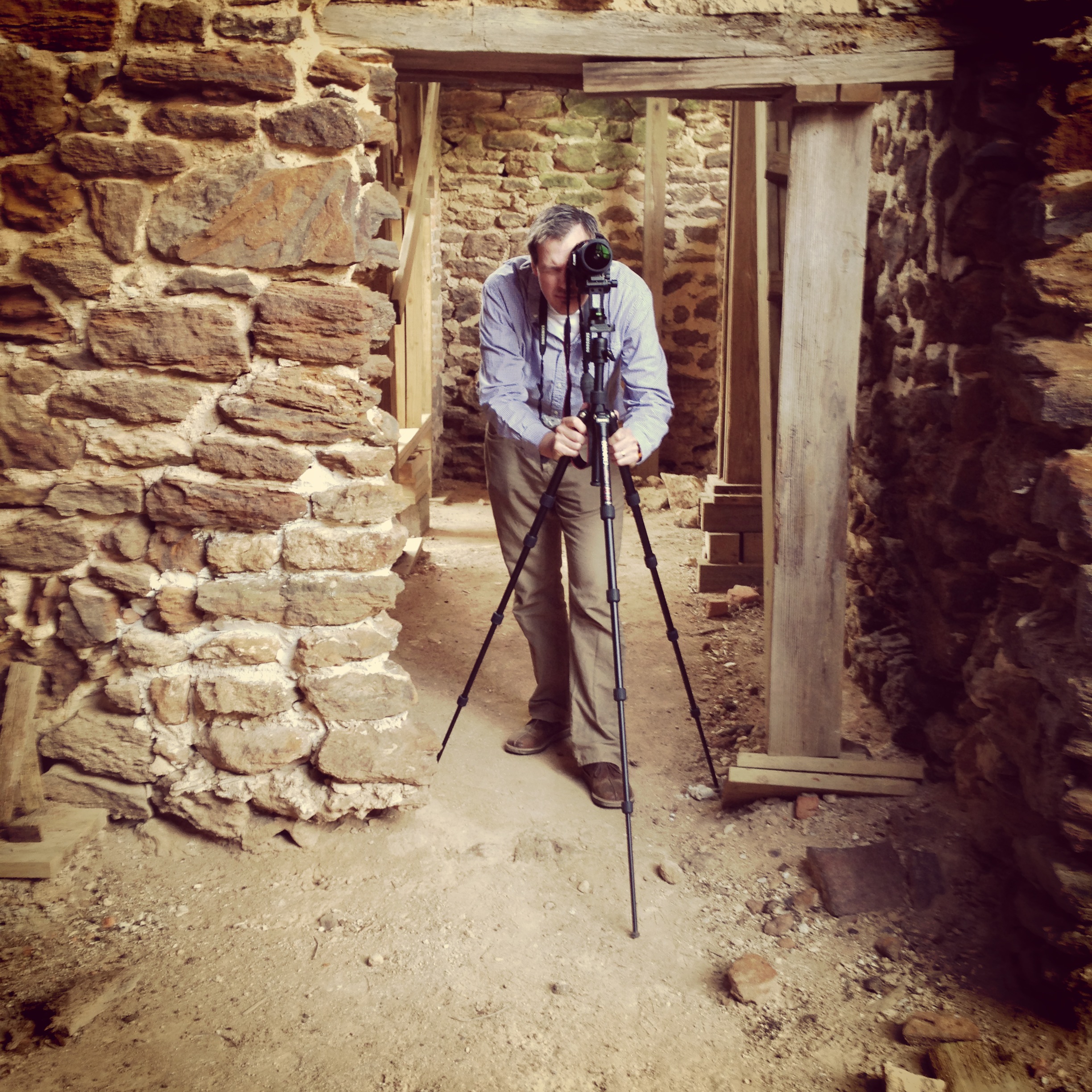
Menokin Cellar

2009JEK0220620.jpg

2009JEK0220623.jpg
3821 View to Right of Dock
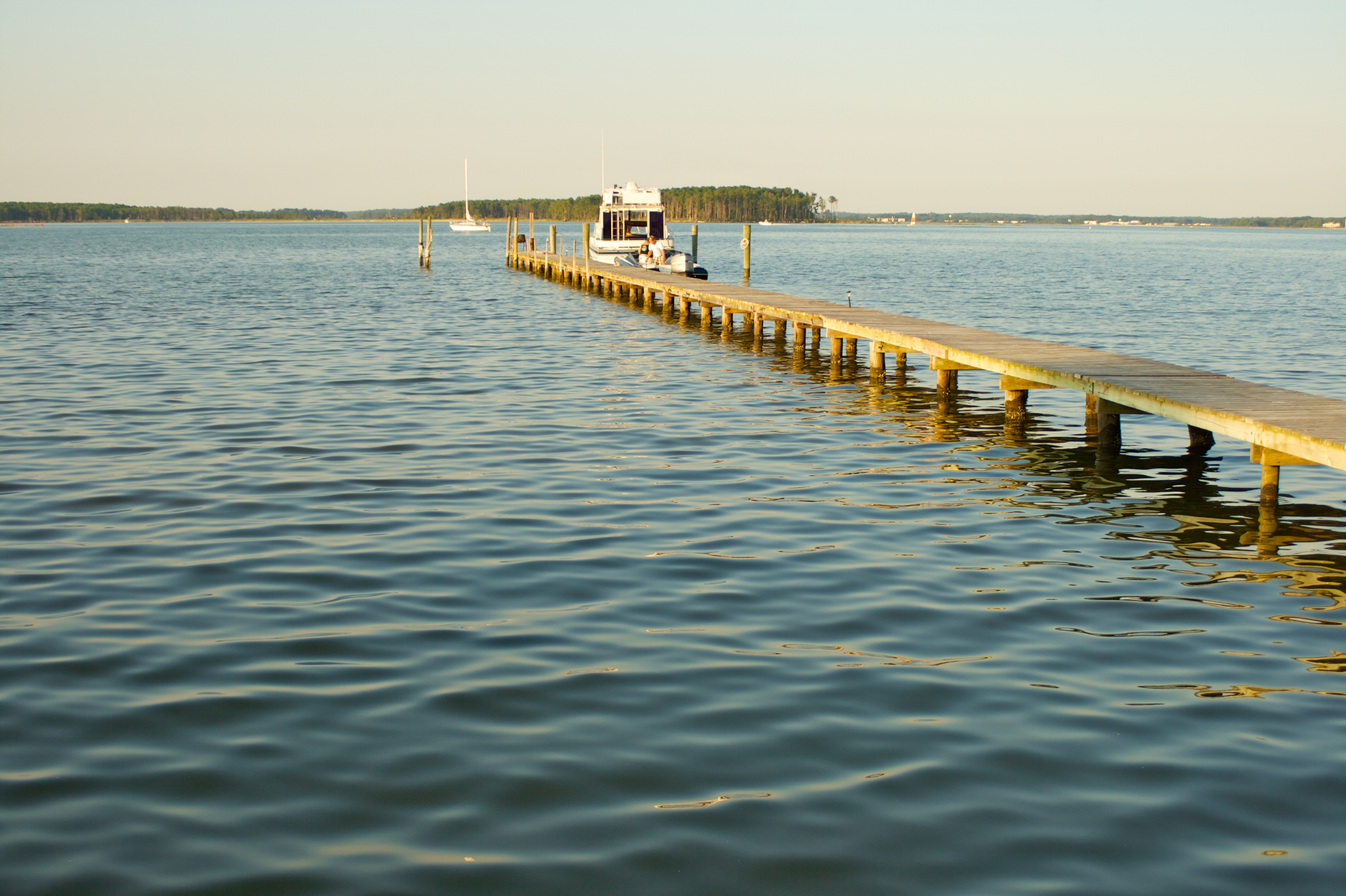
3820 View Towards Dock
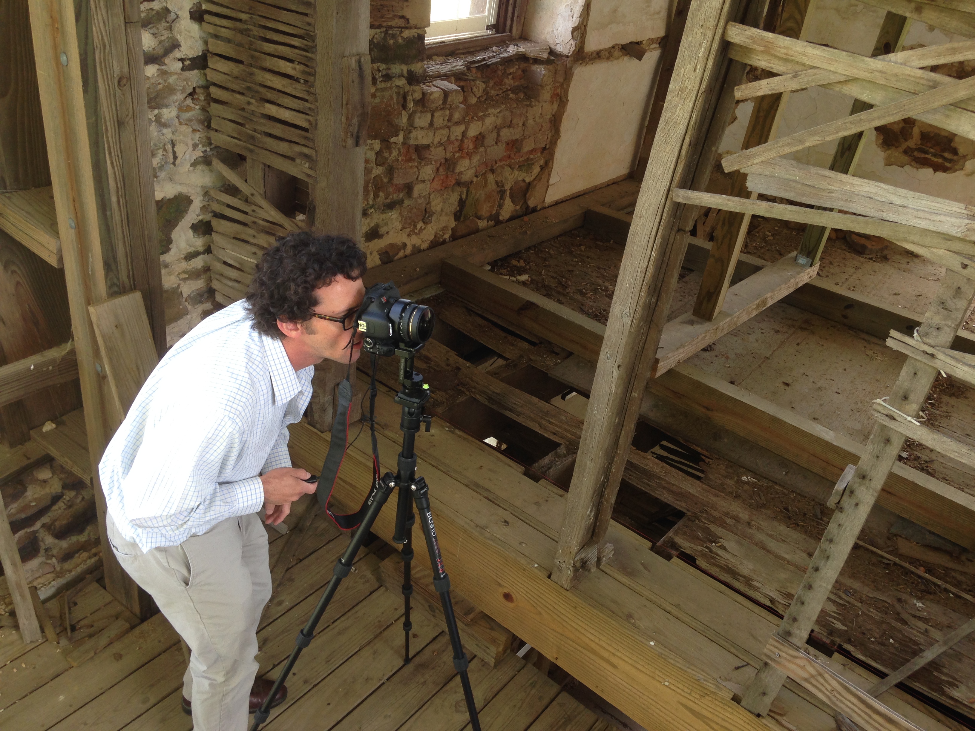
Capturing Google Street View Panoramas at Menokin
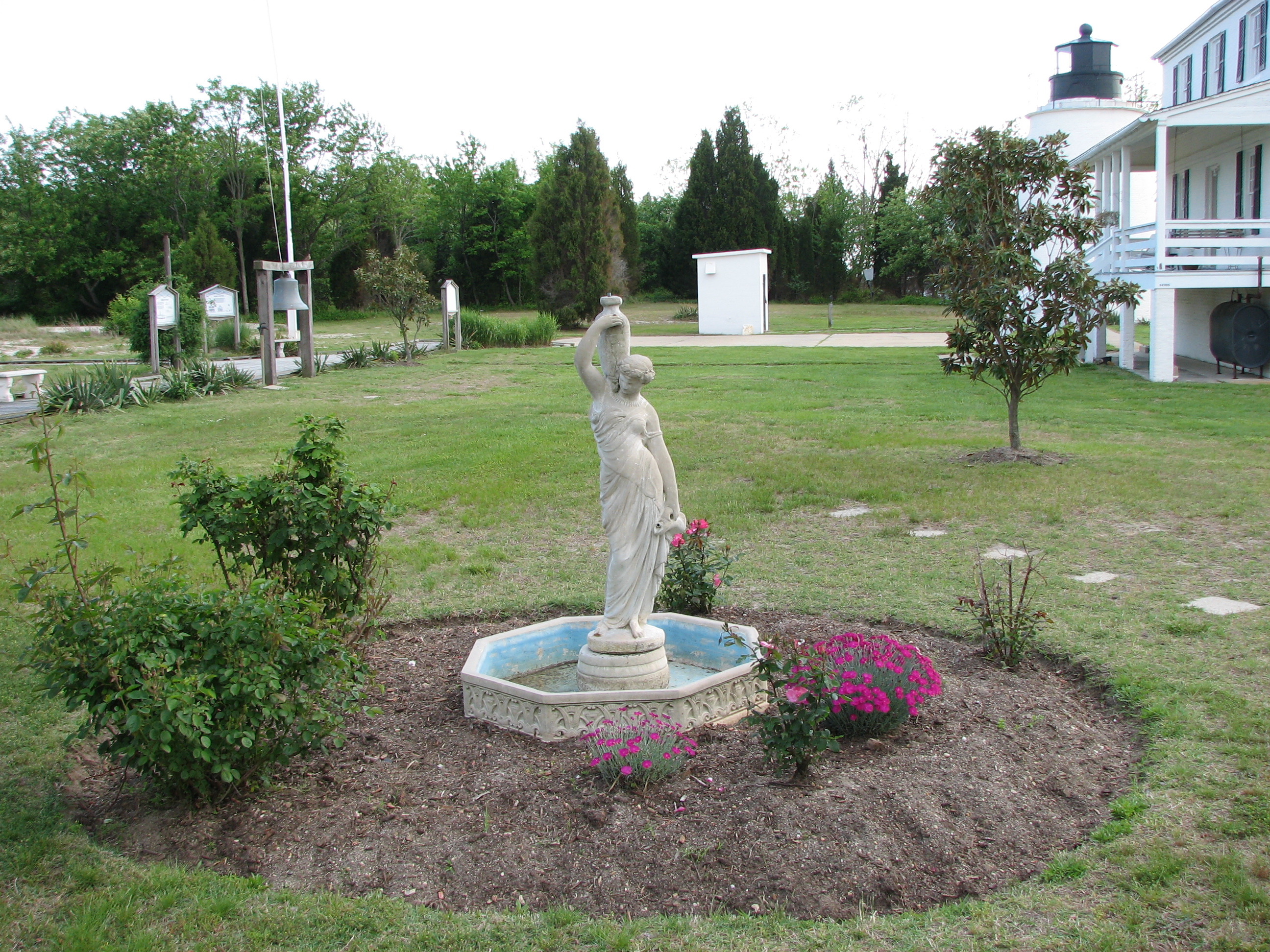
3850 View of Statue and Grounds
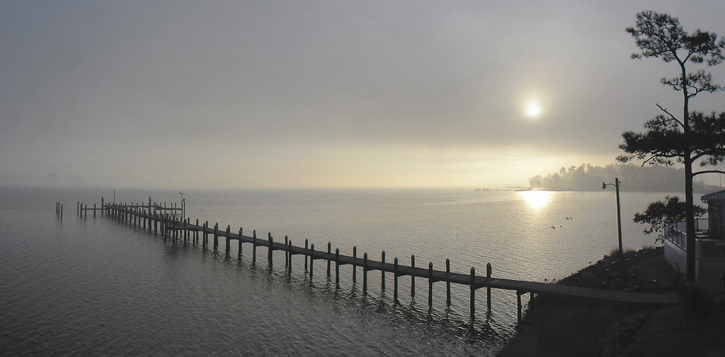
Morning Fog on the Potomac at St. George Island

only halfway

IMG_0131.JPG

IMG_0143.JPG

IMG_0145.JPG

IMG_0121.JPG

IMG_0142.JPG
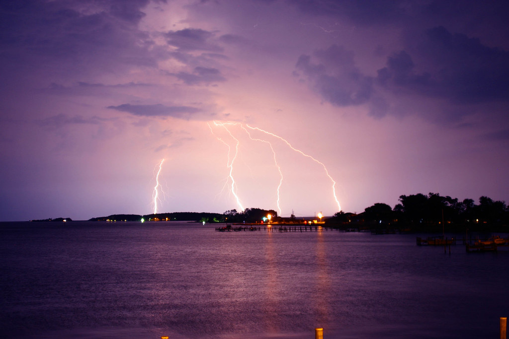
lightning over Chesepeak Bay
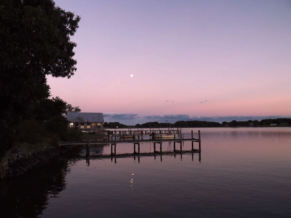
Moon Rising as seen from Krentz Marina, Northumberland County, VA

Piney Point Lighthouse

IMG_0102.JPG
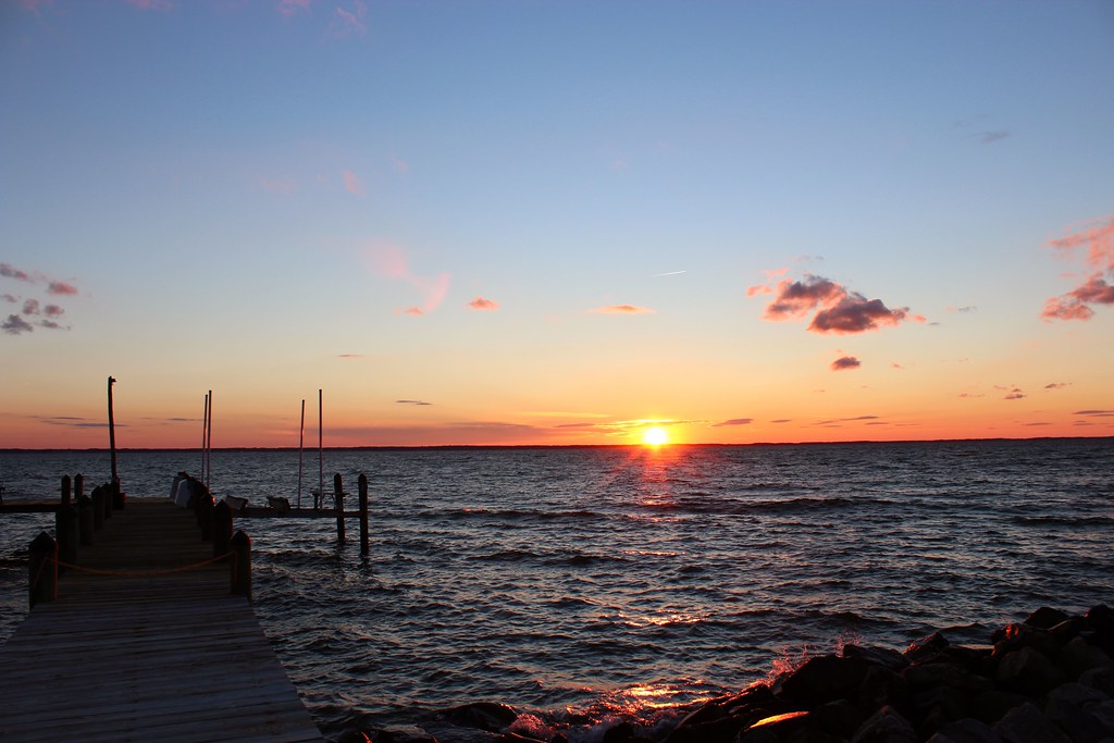
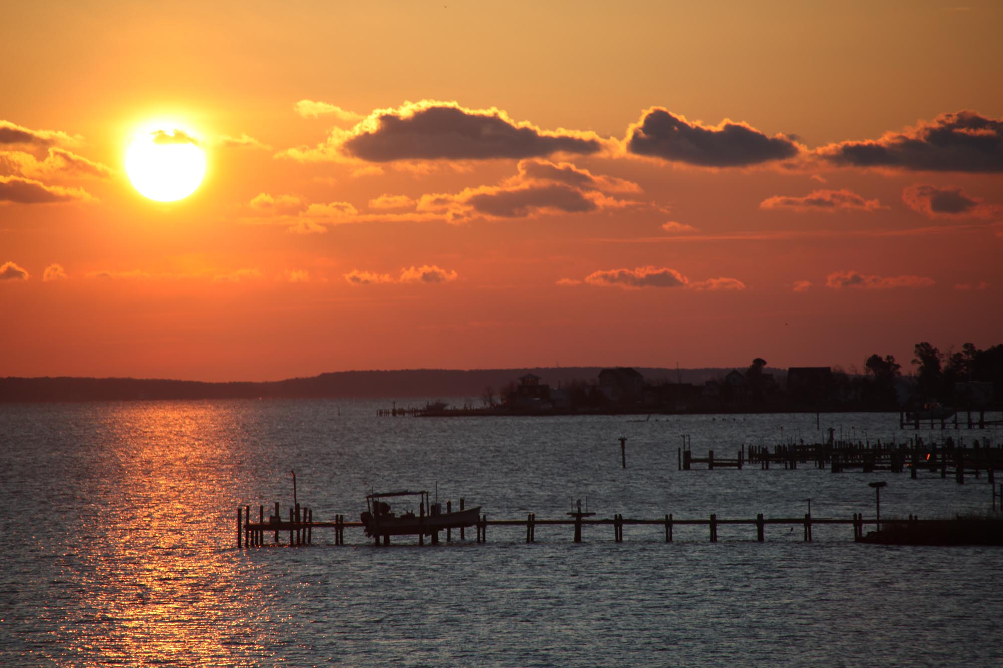
sunset sunday

IMG_0149.JPG

Old House
Looking N across St George Creek - St Georges Island Maryland - 2012-01-15
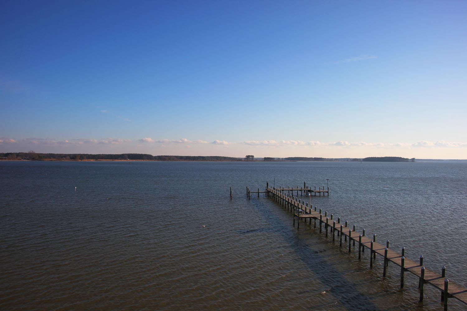
Long pier

Grain Silos
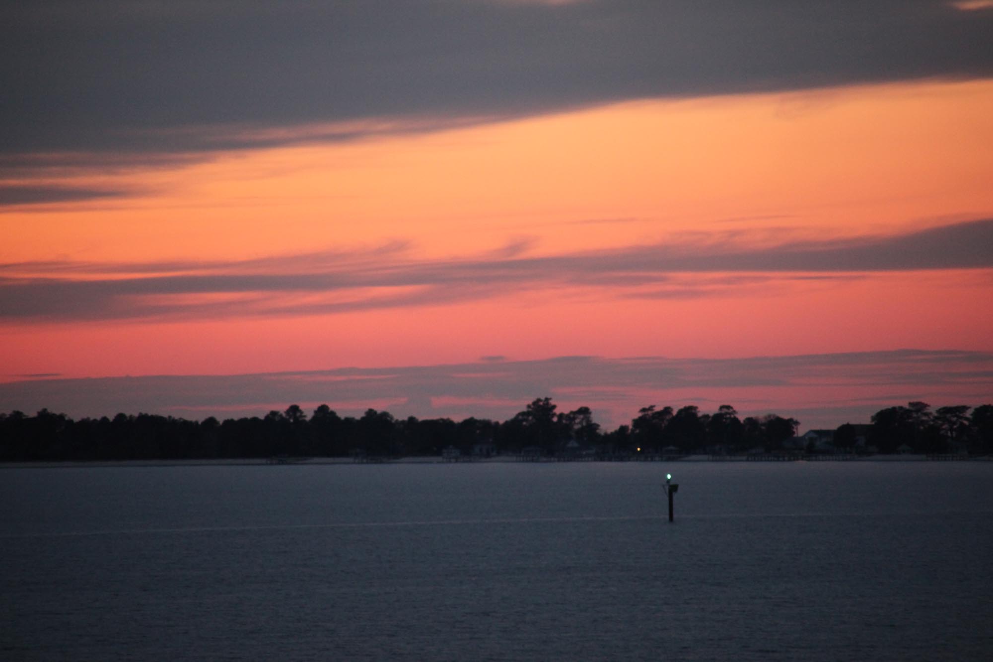
Sunset 01 - looking SW across Potomac River - St Georges Island Maryland - 2012-01-14
Sunrise 02 - looking E across St George Creek - St Georges Island Maryland - 2012-01-15

Burnt House Field Cemetery
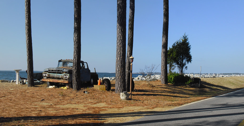
Old Truck Under the St. George Island Pines
Topographic Map of Hague, VA, USA
Find elevation by address:

Places in Hague, VA, USA:
Cople Hwy, Hague, VA, USA
60 Marvins St, Hague, VA, USA
Narrows Beach Rd, Hague, VA, USA
Oldhams Rd, Hague, VA, USA
Nomini Hall Rd, Hague, VA, USA
Places near Hague, VA, USA:
Cople Hwy, Hague, VA, USA
Cople
60 Marvins St, Hague, VA, USA
Nomini Hall Rd, Hague, VA, USA
North Glebe Road
Oldhams Rd, Hague, VA, USA
Cople Hwy, Montross, VA, USA
151 Skyview Dr
Westmoreland County
Menokin Rd, Warsaw, VA, USA
Montross
Kings Hwy, Montross, VA, USA
Montross
Cat Point Creek
5, VA, USA
Newland Rd, Warsaw, VA, USA
Cat Point Creek
Waterview Creek
Rappa Point Rd, Warsaw, VA, USA
Newland Rd, Warsaw, VA, USA
Recent Searches:
- Elevation of Corso Fratelli Cairoli, 35, Macerata MC, Italy
- Elevation of Tallevast Rd, Sarasota, FL, USA
- Elevation of 4th St E, Sonoma, CA, USA
- Elevation of Black Hollow Rd, Pennsdale, PA, USA
- Elevation of Oakland Ave, Williamsport, PA, USA
- Elevation of Pedrógão Grande, Portugal
- Elevation of Klee Dr, Martinsburg, WV, USA
- Elevation of Via Roma, Pieranica CR, Italy
- Elevation of Tavkvetili Mountain, Georgia
- Elevation of Hartfords Bluff Cir, Mt Pleasant, SC, USA