Elevation of Cople, VA, USA

Location: United States > Virginia > Westmoreland County >

Longitude: -76.664372

Latitude: 38.0787238

Elevation: 29m / 95feet

Barometric Pressure: 101KPa

Elevation Map:

elevation map of Cople, VA, USA

Satellite Map:

Satellite map of Cople, VA, USA

Related Photos:

Menokin Cellar
house sahara architecture buildings virginia unitedstates rochester fieldwork chesapeake westmorelandcounty rochesterhouse
2009JEK0220620.jpg
house architecture buildings virginia unitedstates rochester fieldwork chesapeake westmorelandcounty rochesterhouse
2009JEK0220623.jpg
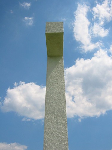
sky clouds island us cross unitedstates religion maryland christian crucifix potomac christianity potomacriver chesapeake worldislandinfocom stclementsisland saintclementsisland
Side view of island's cross
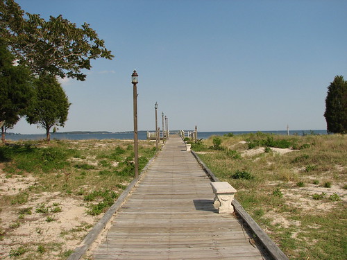
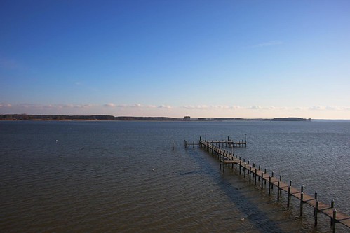
3821 View to Right of Dock
3820 View Towards Dock
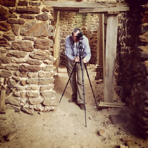
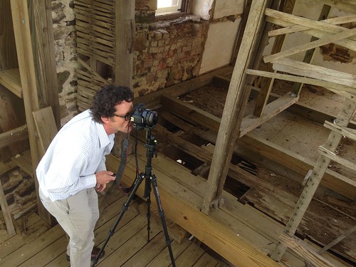
Capturing Google Street View Panoramas at Menokin
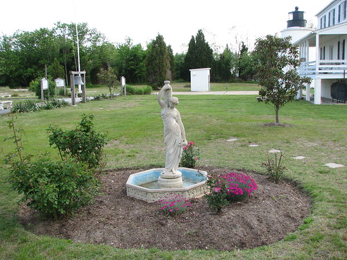
3850 View of Statue and Grounds
panorama fog landscape island pier us maryland potomac potomacriver 2012
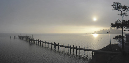
Morning Fog on the Potomac at St. George Island
ocean film beach bay dock chesapeakebay fujisuperia400 pineypoint pentaxzx7
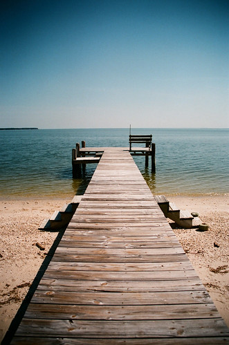
only halfway
light reflection silhouette canon best powershot sailor canonpowershots2is merchantmarine senoradventure
IMG_0131.JPG
light silhouette canon powershot sailor canonpowershots2is merchantmarine senoradventure
IMG_0143.JPG
light silhouette canon powershot sailor canonpowershots2is merchantmarine senoradventure
IMG_0145.JPG
light silhouette canon powershot oil fav sailor canonpowershots2is merchantmarine senoradventure
IMG_0121.JPG
light silhouette canon powershot sailor canonpowershots2is merchantmarine senoradventure
IMG_0142.JPG
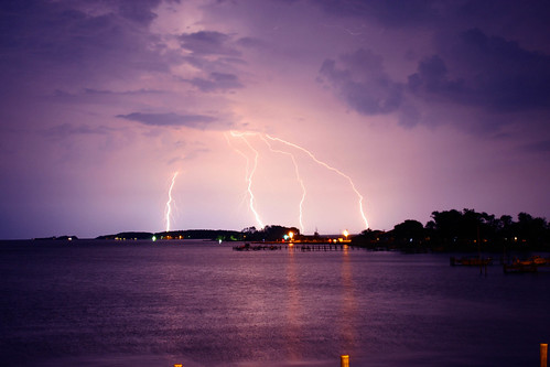
lightning
lightning over Chesepeak Bay
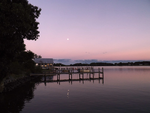
sunset moon color beautiful river landscape boats virginia pier us purple va nightphoto northumberlandcounty 2013
Moon Rising as seen from Krentz Marina, Northumberland County, VA
lighthouse house beautiful landscape us cottage maryland bluesky landmark historic potomacriver 2012
Piney Point Lighthouse
blackandwhite bw canon powershot sailor canonpowershots2is merchantmarine senoradventure
IMG_0102.JPG
blackandwhite bw canon powershot sailor canonpowershots2is merchantmarine senoradventure
IMG_0149.JPG
pointlookoutmaryland
Looking N across St George Creek - St Georges Island Maryland - 2012-01-15
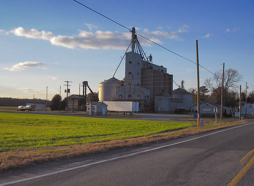
beautiful landscape virginia us farm bluesky va silos 2012 westmorelandcounty
Grain Silos
pointlookoutmaryland
Sunset 01 - looking SW across Potomac River - St Georges Island Maryland - 2012-01-14
pointlookoutmaryland
Sunrise 02 - looking E across St George Creek - St Georges Island Maryland - 2012-01-15
virginia va colespoint richardhenrylee burnthousefield signerofthedeclaration
Burnt House Field Cemetery
stgeorgesislandmaryland
Sunset - St Georges Island MD - 2012-01-14
colespoint reidbrothers hagueva
On the creek at Coles Point
sunset potomacriver stmaryscounty stgeorgesisland
Sunset From St. George's Island
pointlookoutmaryland
Morning 02 - looking N across St George Creek - St Georges Island Maryland - 2012-01-15