Elevation of Kings Hwy, Montross, VA, USA
Location: United States > Virginia > Westmoreland County >
Longitude: -76.827167
Latitude: 38.0953834
Elevation: 44m / 144feet
Barometric Pressure: 101KPa
Elevation Map:
Satellite Map:
Related Photos:

WAKEFIELD VIEW
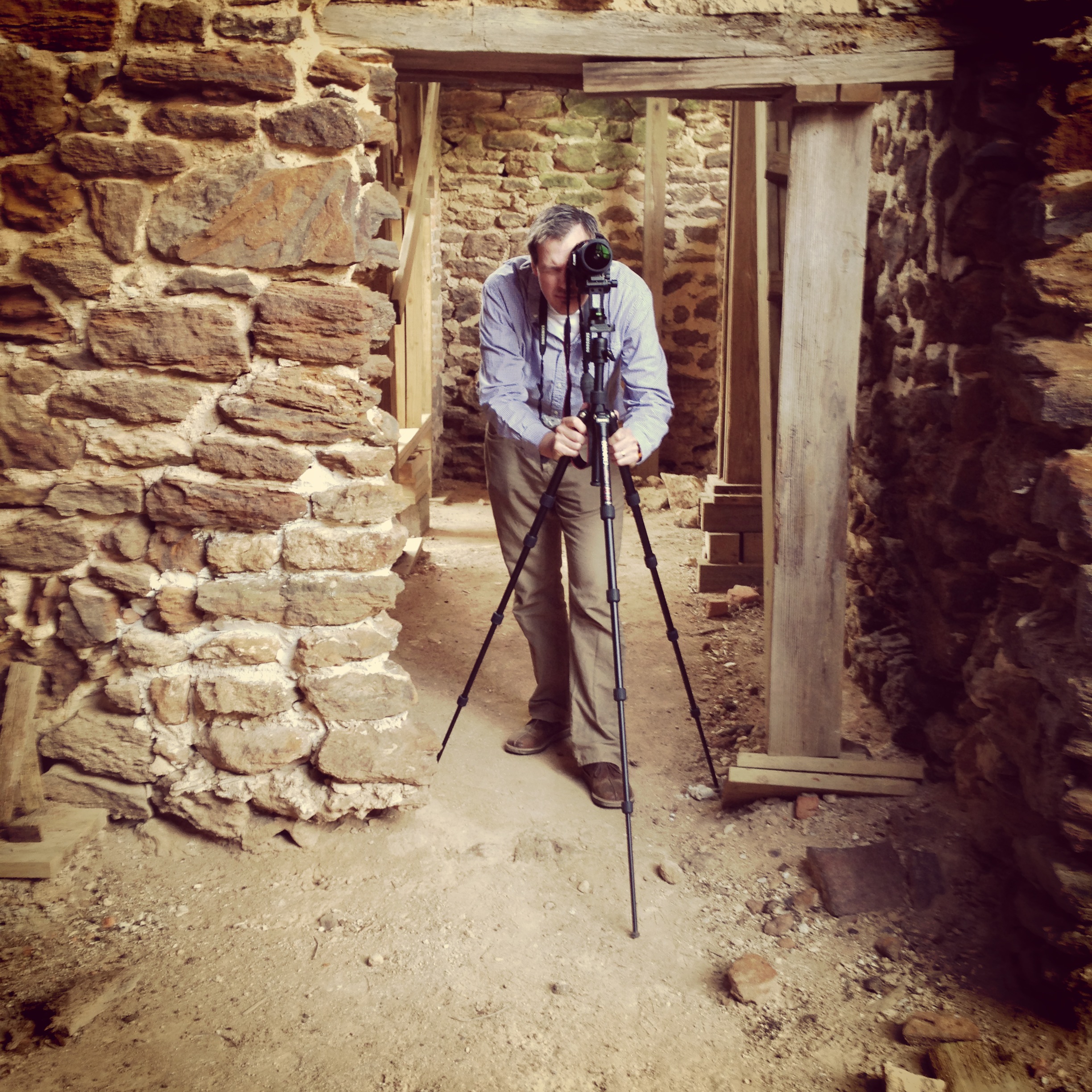
Menokin Cellar
View from the Deck

2009JEK0220623.jpg

Side view of island's cross

Capturing Google Street View Panoramas at Menokin

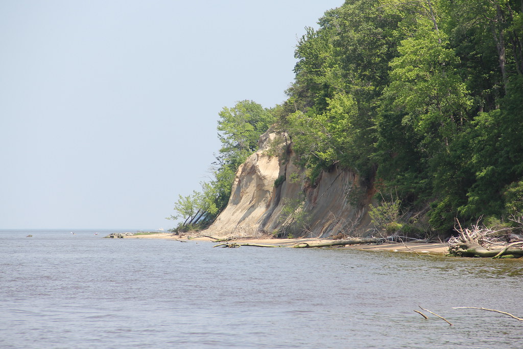
Westmoreland State Park - Potomac River and Horsehead Cliffs

Camping at Westmoreland State Park - Morning View
Westmoreland State Park
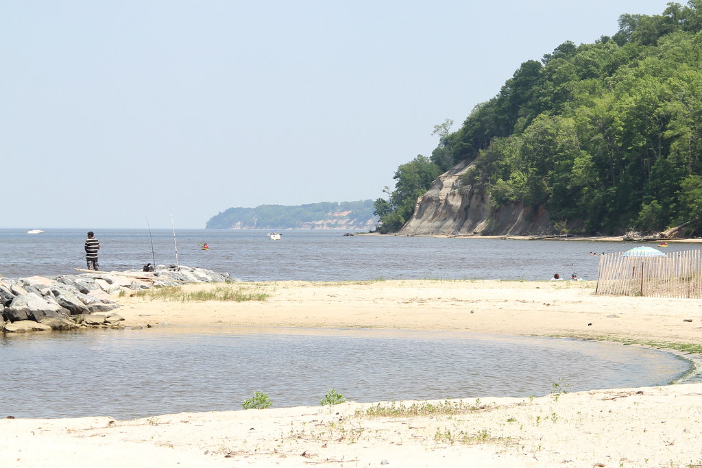
Westmoreland State Park - Horsehead Cliffs
Popes Creek
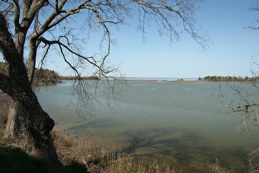
View of the Rappahannock River at Jones Creek
Stratford Hall, River View

George Washington Birthplace National Monument – Dancing Marsh

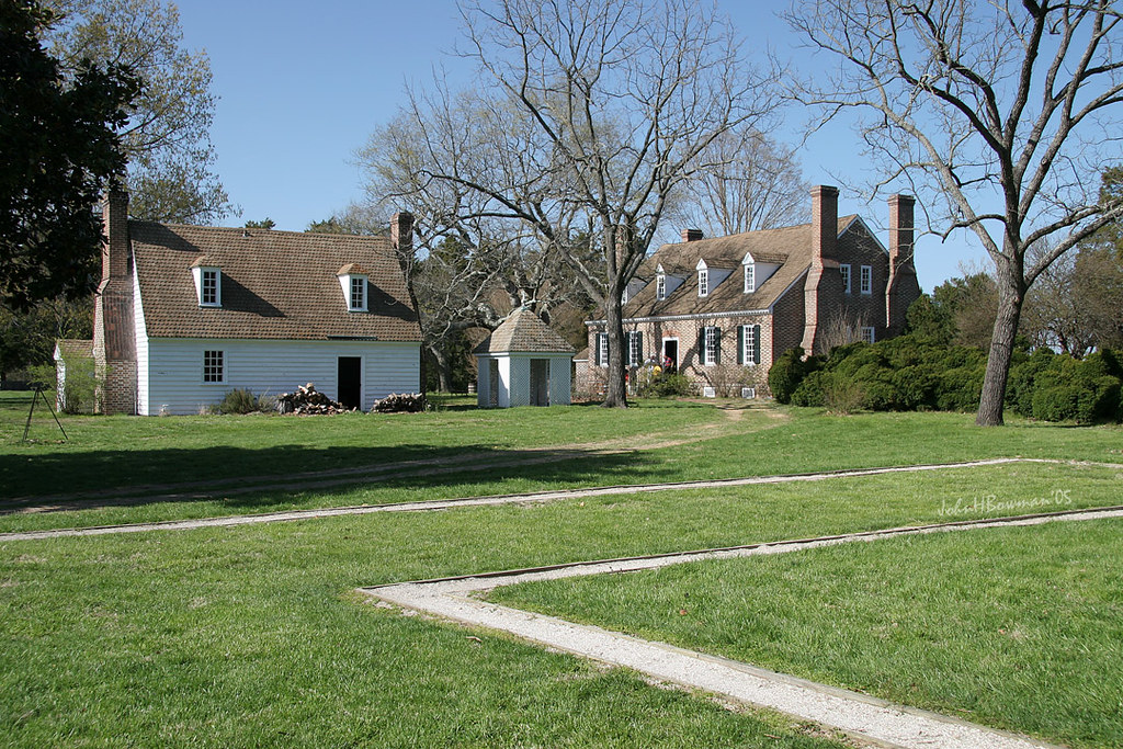
George Washington Birthplace Memorial House
Popes Creek at Potomac River
Creeks Aren't Always Small

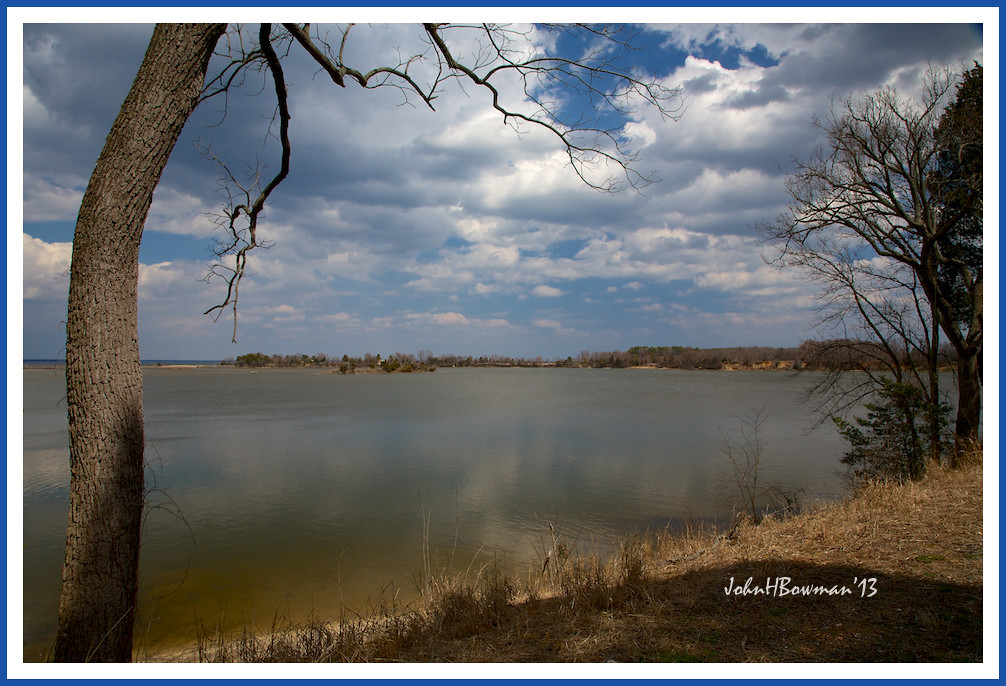
Beautiful View
Washington Birthplace House Foundation & Memorial House
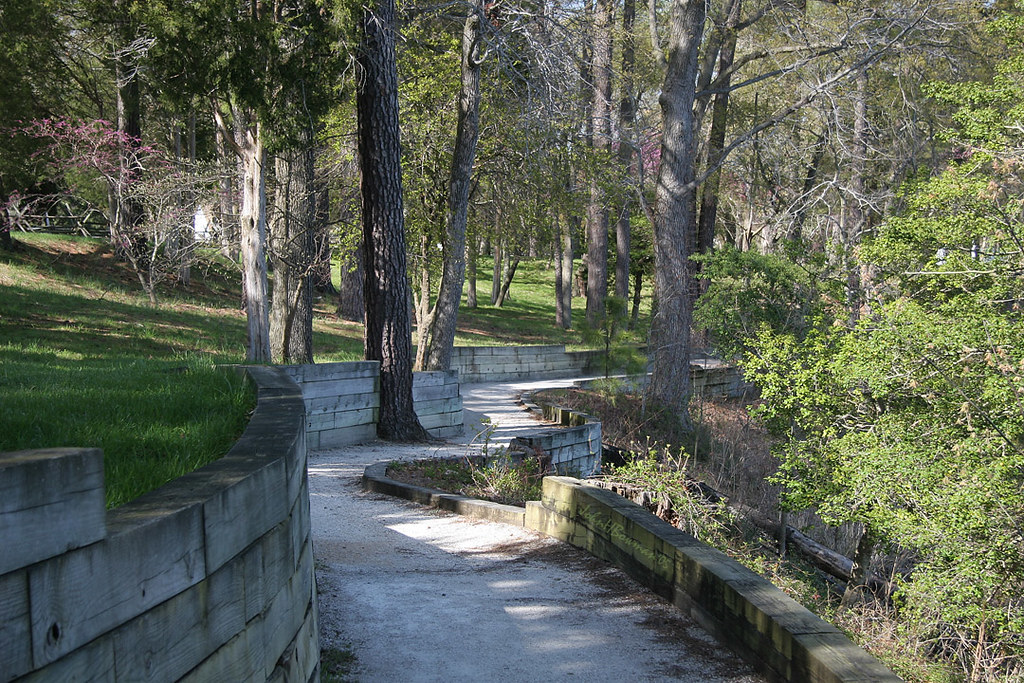
Path - Washington Birthplace National Monument
Westmoreland State Park - Potomac River
The Marsh

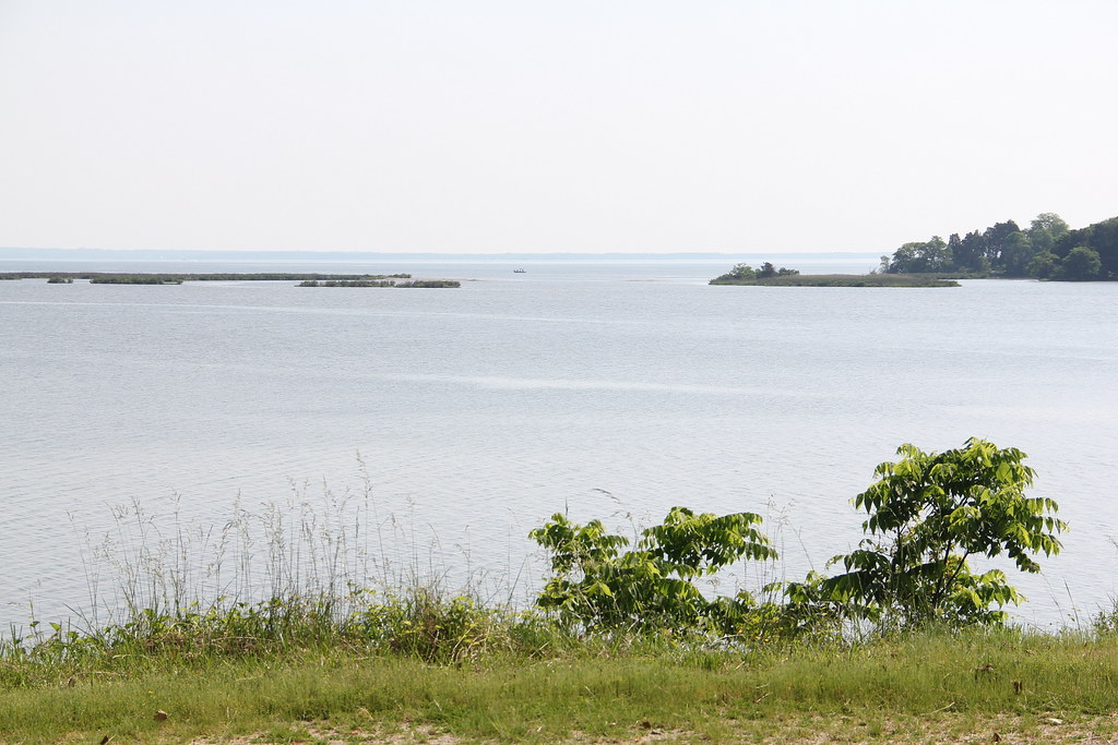
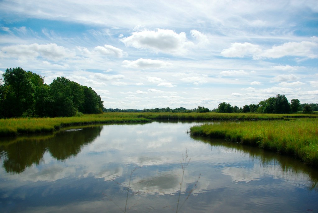
Rappahannock River Valley NWR

Rappahannock River Valley NWR

Rappahannock River Valley NWR
The Marsh

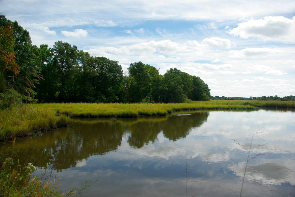
Rappahannock River Valley NWR

WAKEFIELD ENTRANCE 1.1

Rappahannock River Valley NWR

Rappahannock River Valley NWR

Demonstrating Soil and Water Quality Practices at Midway Farms

Demonstrating Soil and Water Quality Practices at Midway Farms

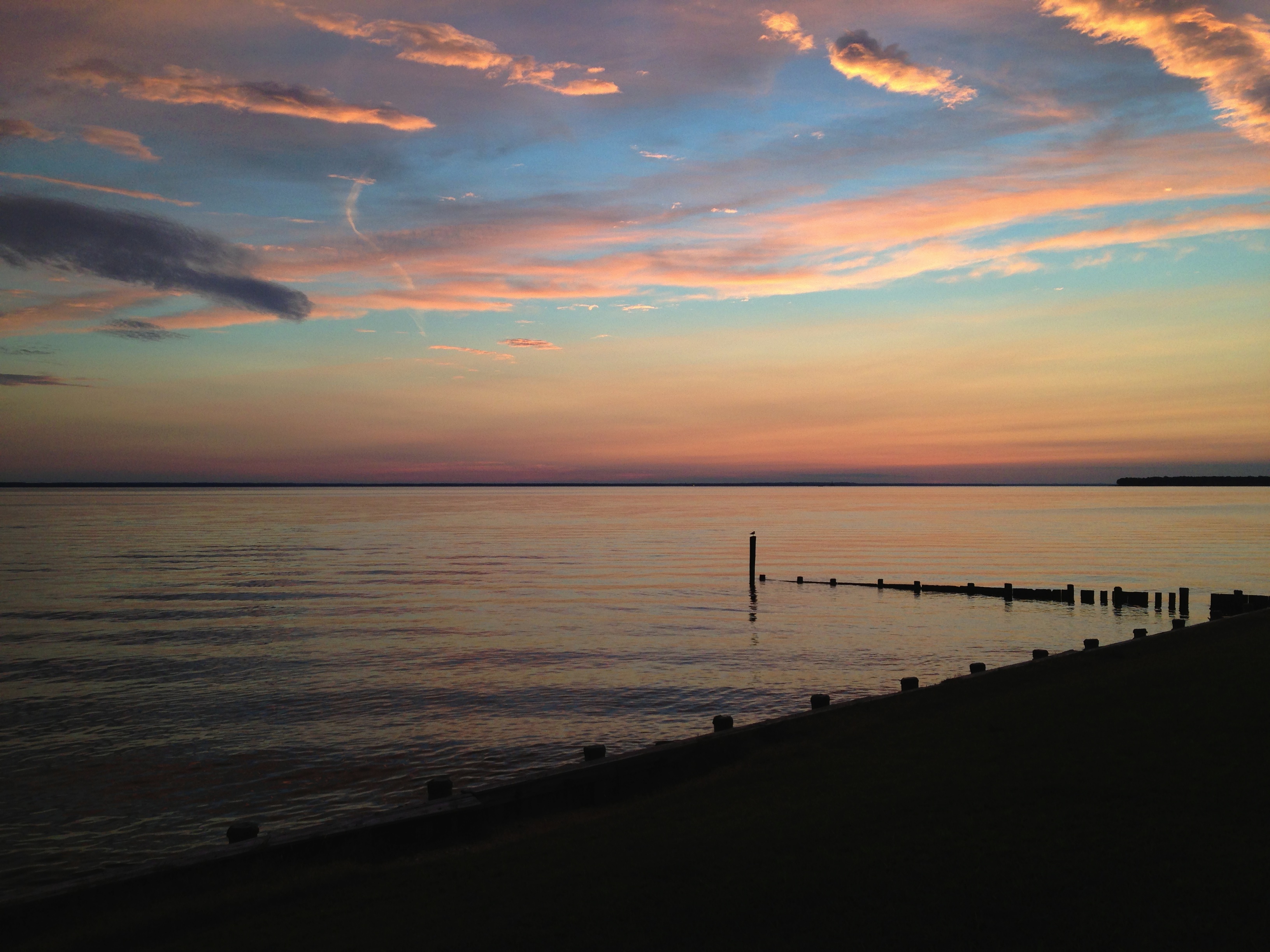
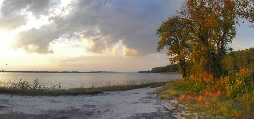
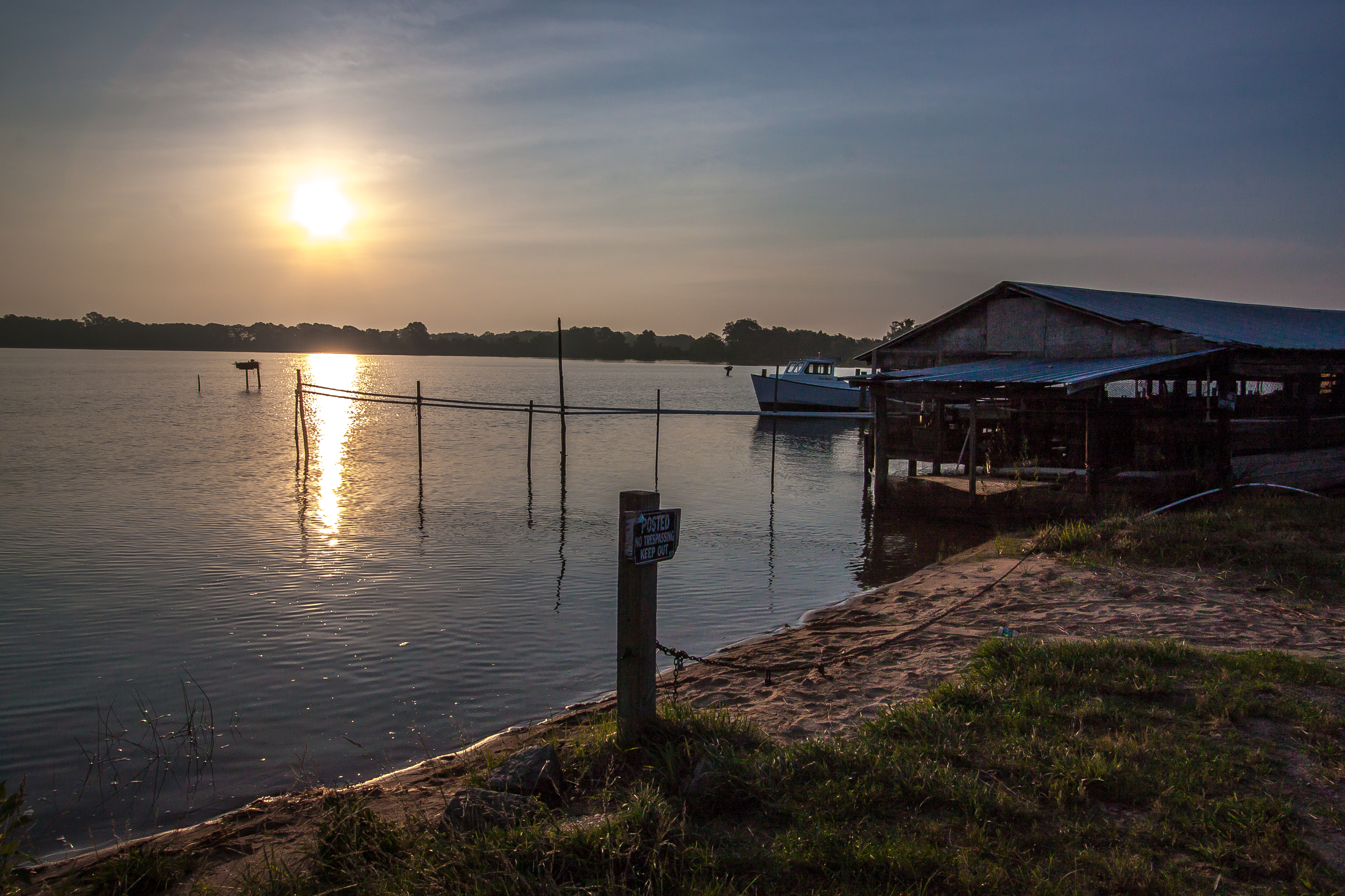
Setting Sun over the Rappahannock River

Demonstrating Soil and Water Quality Practices at Midway Farms
Sunrise Over Cat Point Creek

Beach Grass
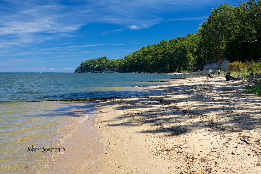
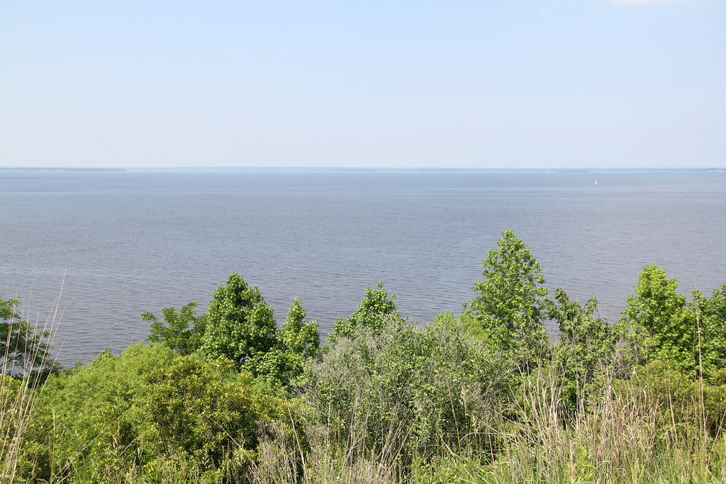
Potomac River at Stratford Hall Plantation
Topographic Map of Kings Hwy, Montross, VA, USA
Find elevation by address:

Places near Kings Hwy, Montross, VA, USA:
Montross
Montross
Cat Point Creek
Westmoreland County
Newland Rd, Warsaw, VA, USA
Newland Rd, Warsaw, VA, USA
5, VA, USA
Cople Hwy, Montross, VA, USA
Menokin Rd, Warsaw, VA, USA
Waterview Creek
151 Skyview Dr
Cat Point Creek
Rappa Point Rd, Warsaw, VA, USA
Nomini Hall Rd, Hague, VA, USA
Cople
2170 Laytons Landing Rd
2170 Laytons Landing Rd
2170 State Rte 637
60 Marvins St, Hague, VA, USA
North Glebe Road
Recent Searches:
- Elevation of Rojo Ct, Atascadero, CA, USA
- Elevation of Flagstaff Drive, Flagstaff Dr, North Carolina, USA
- Elevation of Avery Ln, Lakeland, FL, USA
- Elevation of Woolwine, VA, USA
- Elevation of Lumagwas Diversified Farmers Multi-Purpose Cooperative, Lumagwas, Adtuyon, RV32+MH7, Pangantucan, Bukidnon, Philippines
- Elevation of Homestead Ridge, New Braunfels, TX, USA
- Elevation of Orchard Road, Orchard Rd, Marlborough, NY, USA
- Elevation of 12 Hutchinson Woods Dr, Fletcher, NC, USA
- Elevation of Holloway Ave, San Francisco, CA, USA
- Elevation of Norfolk, NY, USA