Elevation of Narrows Beach Rd, Hague, VA, USA
Location: United States > Virginia > Westmoreland County > Cople > Hague >
Longitude: -76.637377
Latitude: 38.1220187
Elevation: 0m / 0feet
Barometric Pressure: 101KPa
Elevation Map:
Satellite Map:
Related Photos:

Tree view

2009JEK0220620.jpg
Toward Breton Bay - Jesuit Chapter House, Little Brittaine

2009JEK0220623.jpg

St. Francis Xavier Church Balcony View
St Francis Xavier Church Hall

St Francis Xavier Mary

Calm morning

St Francis Xavier

Side view of island's cross
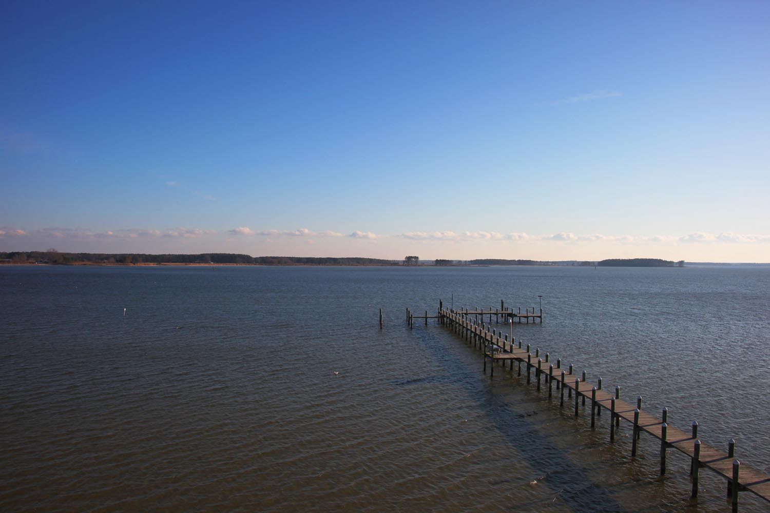
3821 View to Right of Dock
3820 View Towards Dock
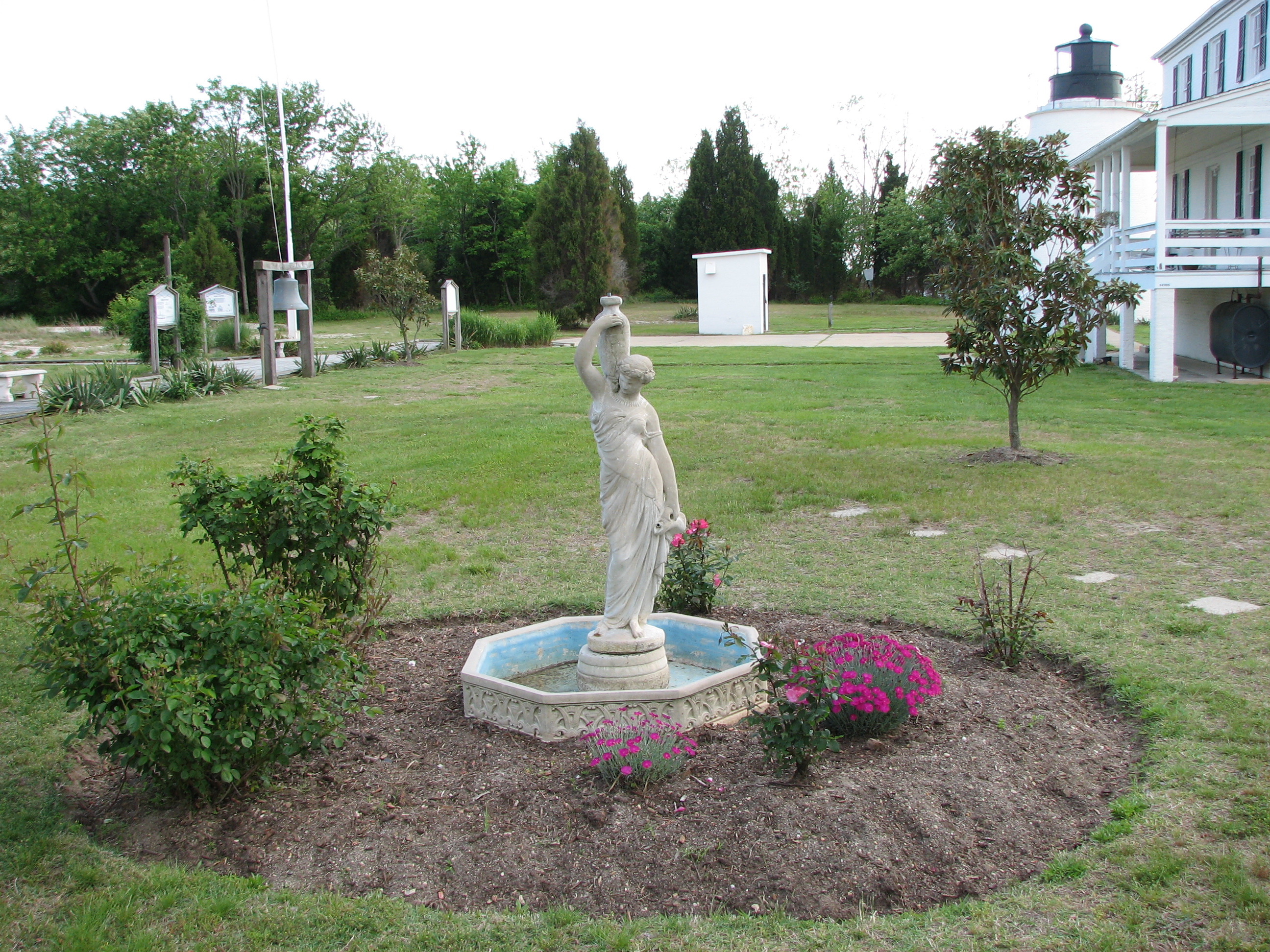
3850 View of Statue and Grounds
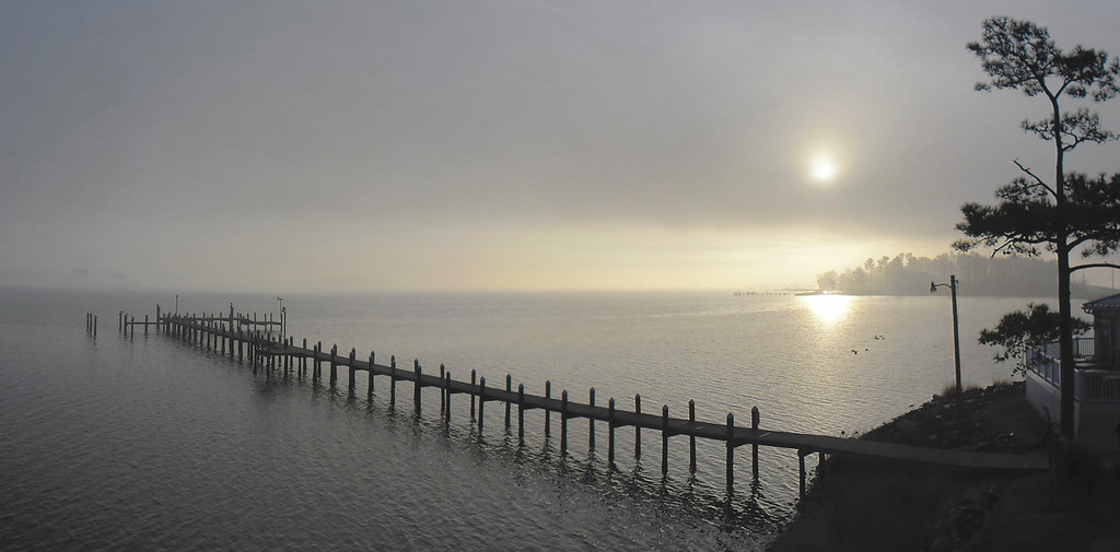
Morning Fog on the Potomac at St. George Island

Piney Point Lighthouse
Looking N across St George Creek - St Georges Island Maryland - 2012-01-15
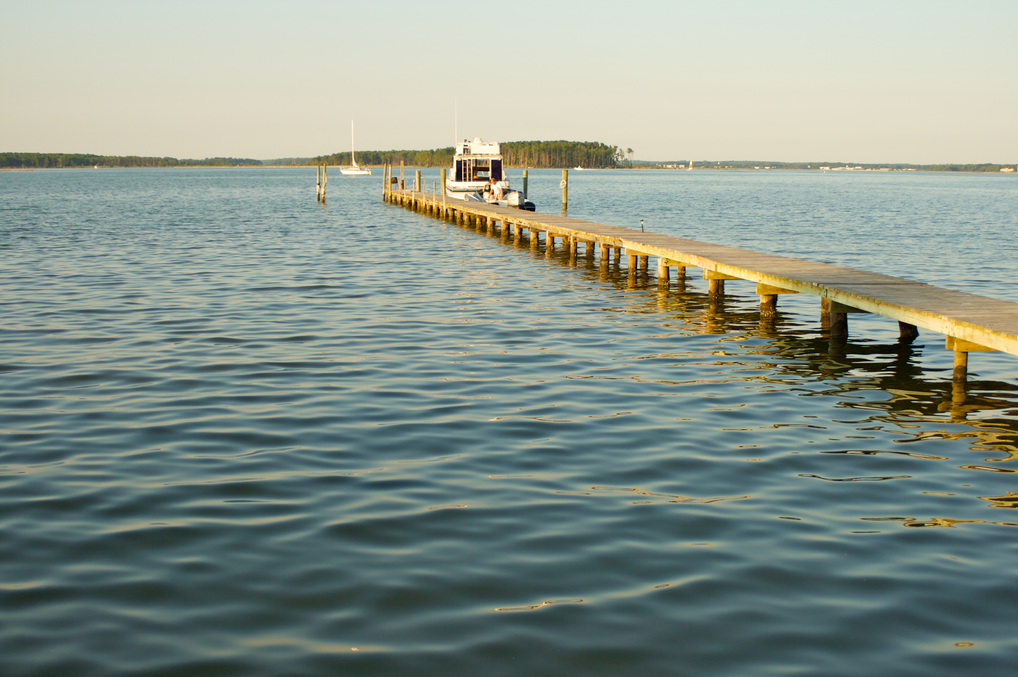
Long pier

Morning 02 - looking N across St George Creek - St Georges Island Maryland - 2012-01-15

only halfway

IMG_0131.JPG

IMG_0143.JPG
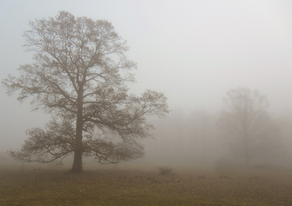
Fog Shrouded Tree

IMG_0145.JPG

IMG_0121.JPG

IMG_0142.JPG

lightning over Chesepeak Bay

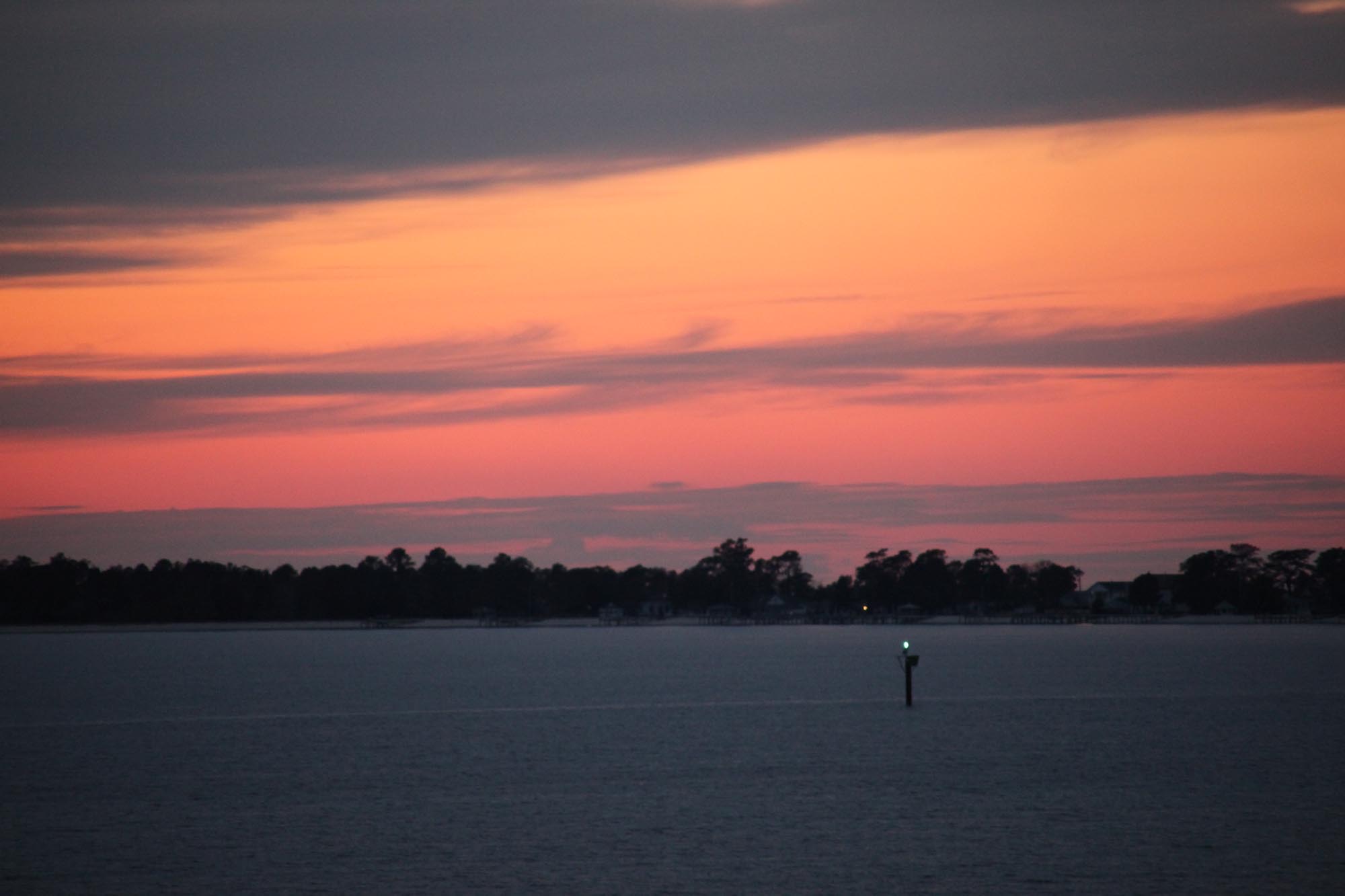
Breton Bay Rainbow
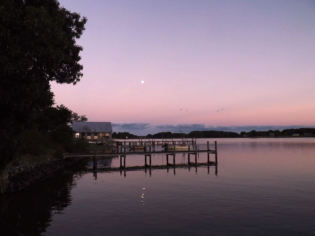
Moon Rising as seen from Krentz Marina, Northumberland County, VA

IMG_0102.JPG
sunset sunday

IMG_0149.JPG

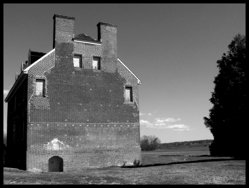
Old House

Grain Silos
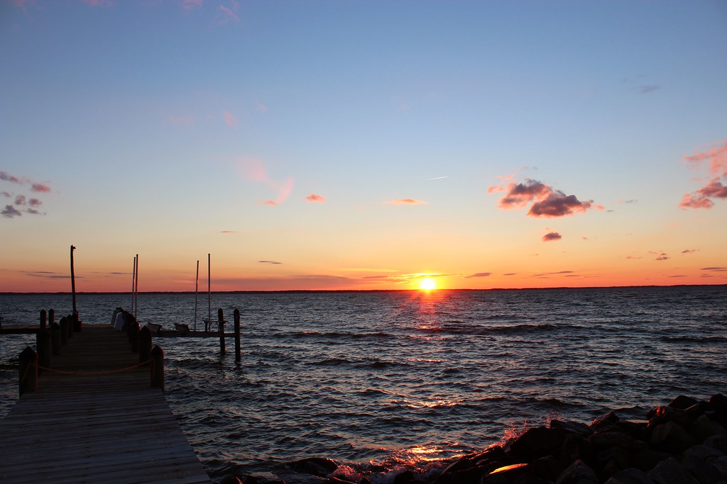
Sunset 01 - looking SW across Potomac River - St Georges Island Maryland - 2012-01-14
Topographic Map of Narrows Beach Rd, Hague, VA, USA
Find elevation by address:

Places near Narrows Beach Rd, Hague, VA, USA:
569 Safe Harbor Landing
Tucker Hill Road
Kinsale
76 Great House Rd
Great House Road
Skipjack Rd, Kinsale, VA, USA
604 Parker Dr
17268 Larimer St
Piney Point
Piney Point Rd, Piney Point, MD, USA
16983 Piney Point Rd
9, St. George Island
Harryhogan Rd, Callao, VA, USA
16394 Thomas Rd
Saint George Island
16255 Thomas Rd
16500 Ball Point Rd
Camp Merryelande Vacation Cottages
Thomas Rd, Piney Point, MD, USA
Richmond Rd, Callao, VA, USA
Recent Searches:
- Elevation of Kreuzburger Weg 13, Düsseldorf, Germany
- Elevation of Gateway Blvd SE, Canton, OH, USA
- Elevation of East W.T. Harris Boulevard, E W.T. Harris Blvd, Charlotte, NC, USA
- Elevation of West Sugar Creek, Charlotte, NC, USA
- Elevation of Wayland, NY, USA
- Elevation of Steadfast Ct, Daphne, AL, USA
- Elevation of Lagasgasan, X+CQH, Tiaong, Quezon, Philippines
- Elevation of Rojo Ct, Atascadero, CA, USA
- Elevation of Flagstaff Drive, Flagstaff Dr, North Carolina, USA
- Elevation of Avery Ln, Lakeland, FL, USA