Elevation of Greenwood Township, SD, USA
Location: United States > South Dakota > Tripp County >
Longitude: -100.05834
Latitude: 43.6336471
Elevation: 594m / 1949feet
Barometric Pressure: 94KPa
Elevation Map:
Satellite Map:
Related Photos:
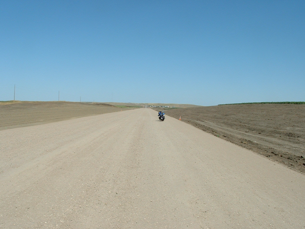
US 183
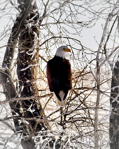
Bald Eagle in a Frosty Tree
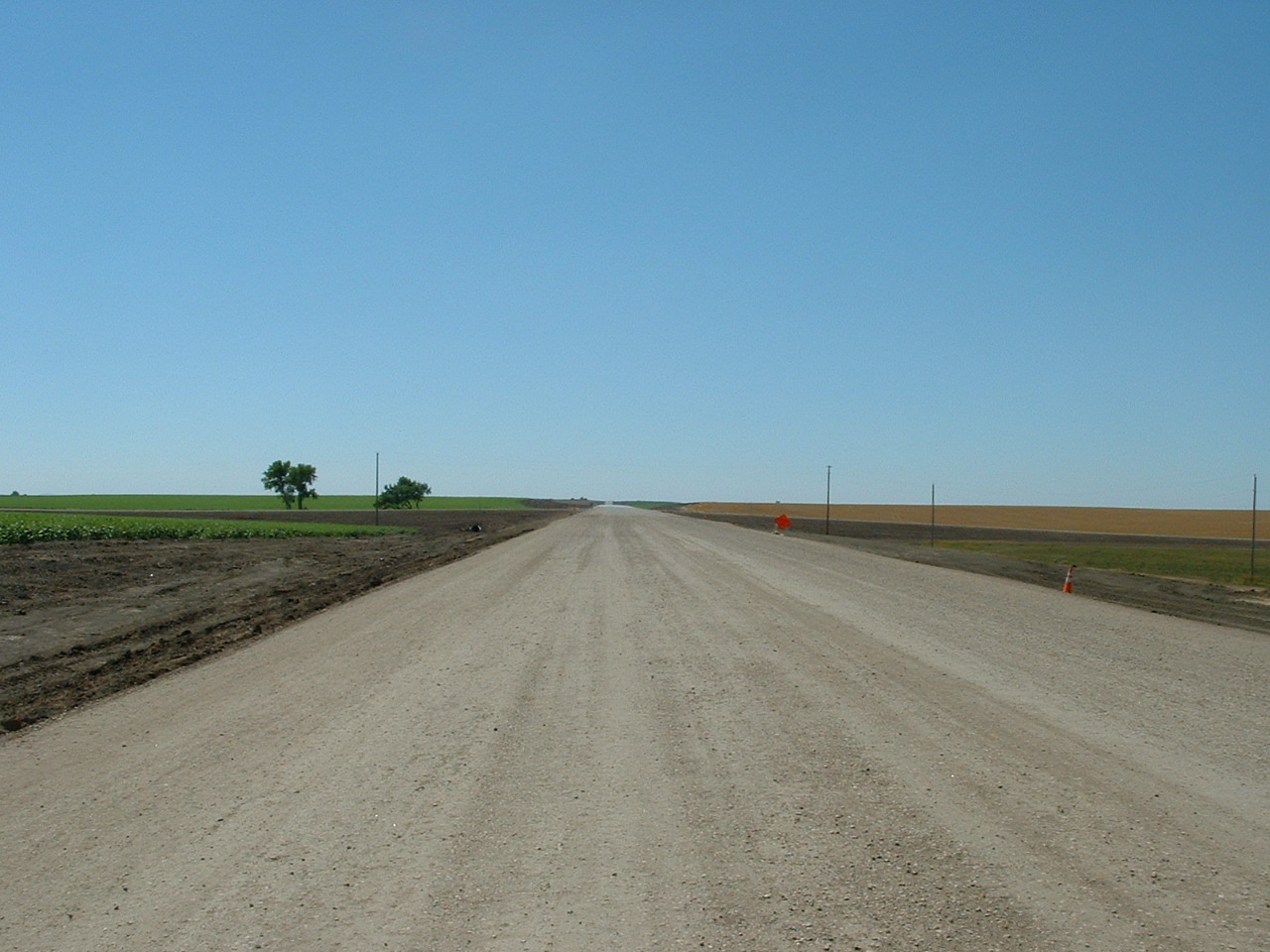
US 183
Topographic Map of Greenwood Township, SD, USA
Find elevation by address:

Places in Greenwood Township, SD, USA:
Places near Greenwood Township, SD, USA:
257th Street
30310 Pahapesto Buttes
South Lyman
307 Sd-273
Kennebec
Kennebec, SD, USA
South Dakota
Cody Township
Murdo
Jones County
Missouri River
1600 E Dakota Ave
603 N Jackson Ave
Fort Pierre
1730 N Garfield Ave
313 S Pierre St
516 Deadwood St
516 Deadwood St
516 Deadwood St
516 Deadwood St
Recent Searches:
- Elevation of Spaceport America, Co Rd A, Truth or Consequences, NM, USA
- Elevation of Warwick, RI, USA
- Elevation of Fern Rd, Whitmore, CA, USA
- Elevation of 62 Abbey St, Marshfield, MA, USA
- Elevation of Fernwood, Bradenton, FL, USA
- Elevation of Felindre, Swansea SA5 7LU, UK
- Elevation of Leyte Industrial Development Estate, Isabel, Leyte, Philippines
- Elevation of W Granada St, Tampa, FL, USA
- Elevation of Pykes Down, Ivybridge PL21 0BY, UK
- Elevation of Jalan Senandin, Lutong, Miri, Sarawak, Malaysia