Elevation of Murdo, SD, USA
Location: United States > South Dakota > Jones County >
Longitude: -100.71291
Latitude: 43.8883224
Elevation: 706m / 2316feet
Barometric Pressure: 93KPa
Elevation Map:
Satellite Map:
Related Photos:

19:45
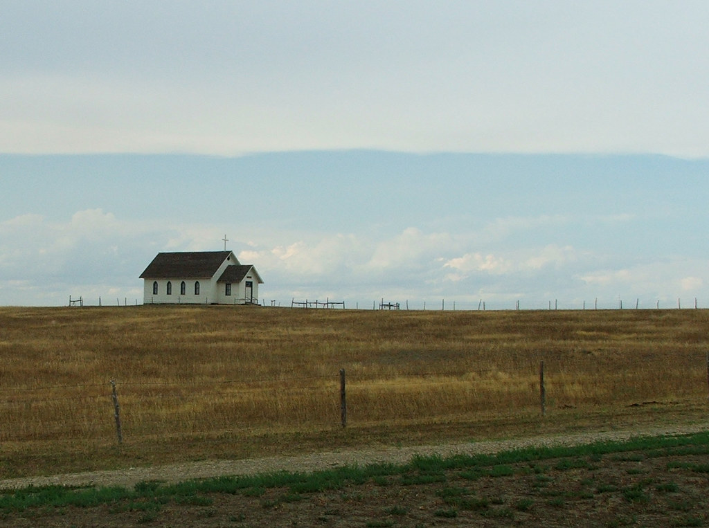
Church On The Open Plain
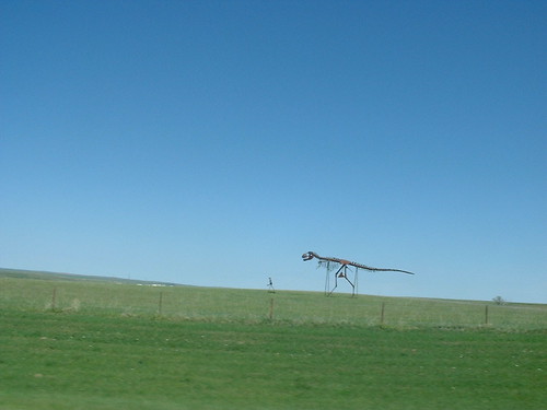
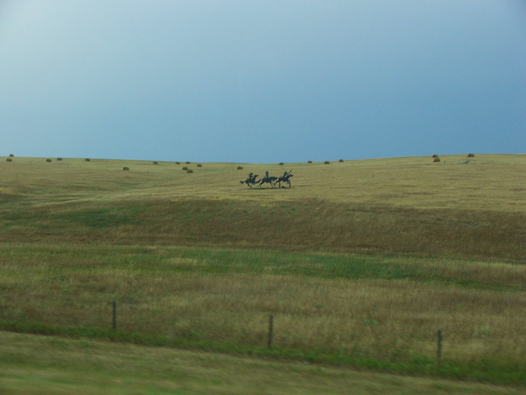
Tyrannosaur sculpture
0.6/sq mi (0.2/km²).
South Dakota
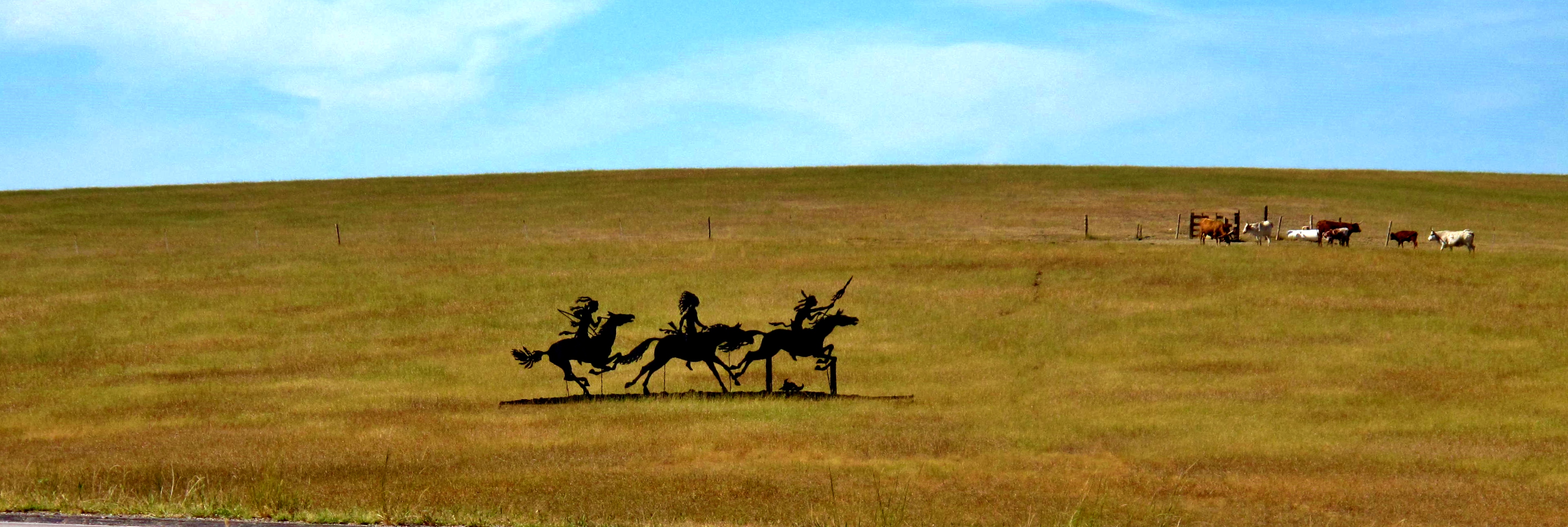
Roadside Art, South Dakota

Long Way Home
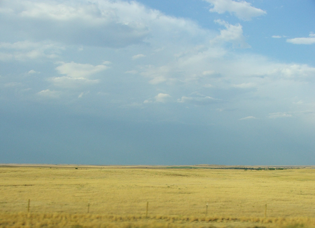
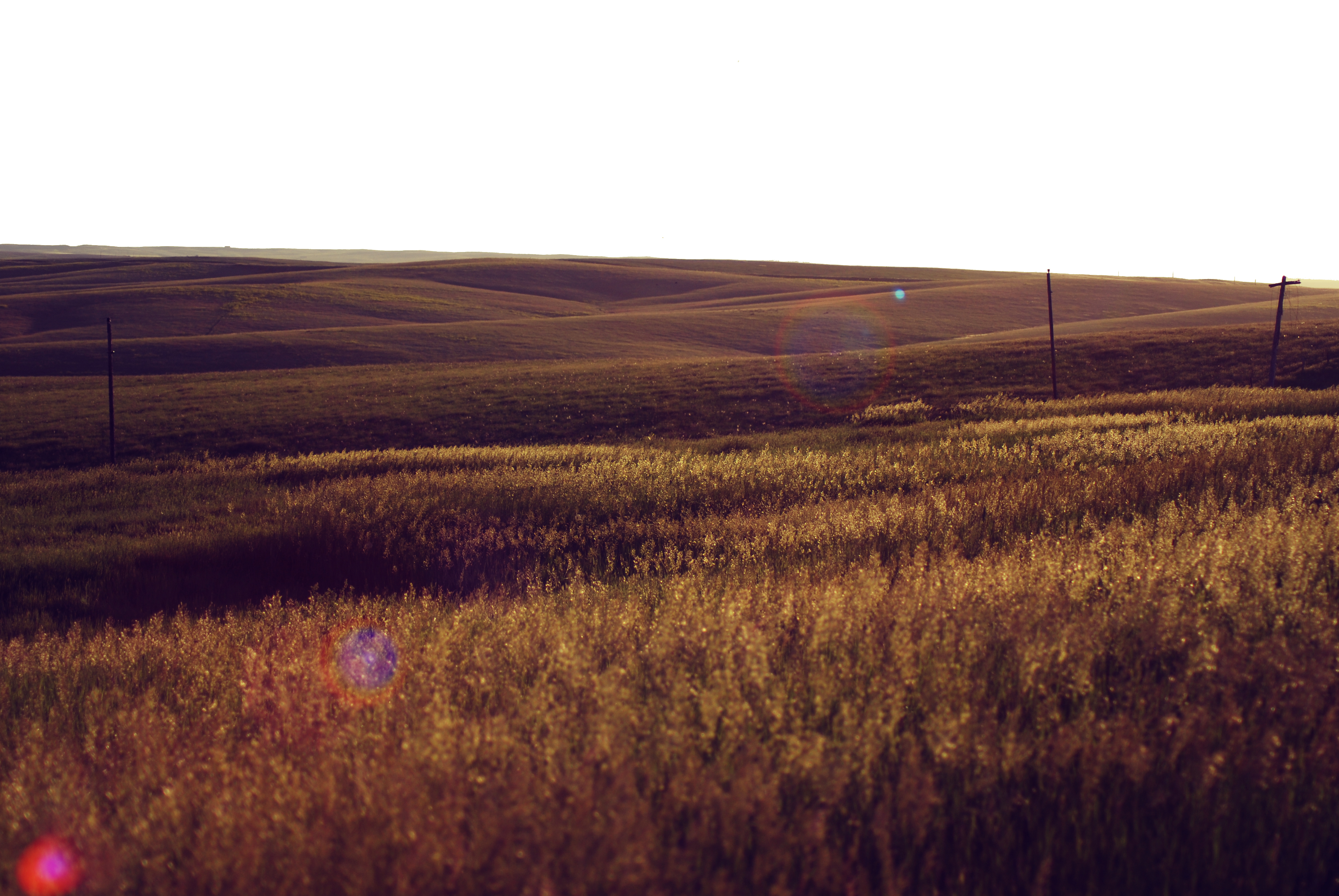
Wide Open Spaces...
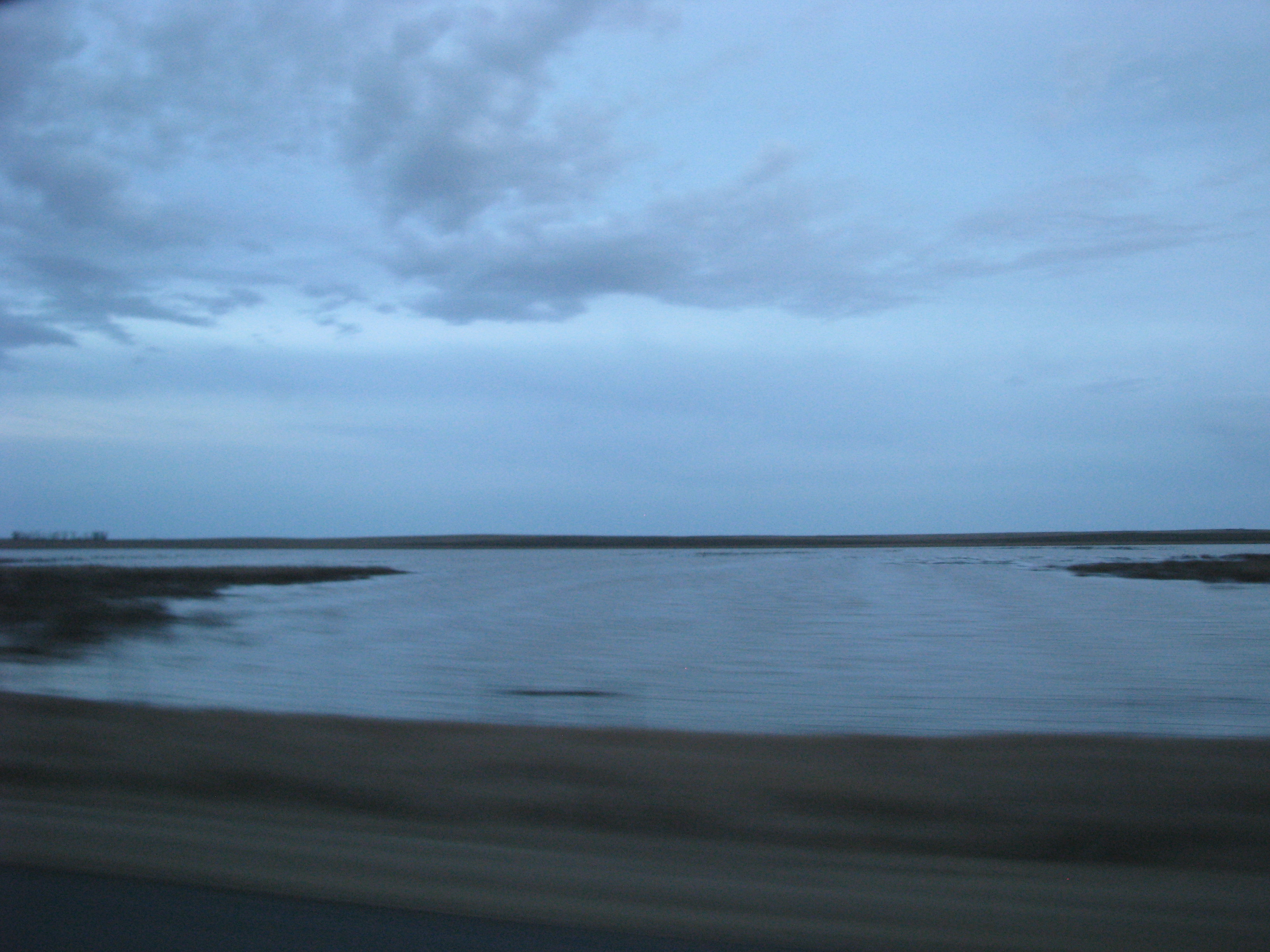
Flooded field

Seven Forty-Six PM
Outrunning A Hail Storm
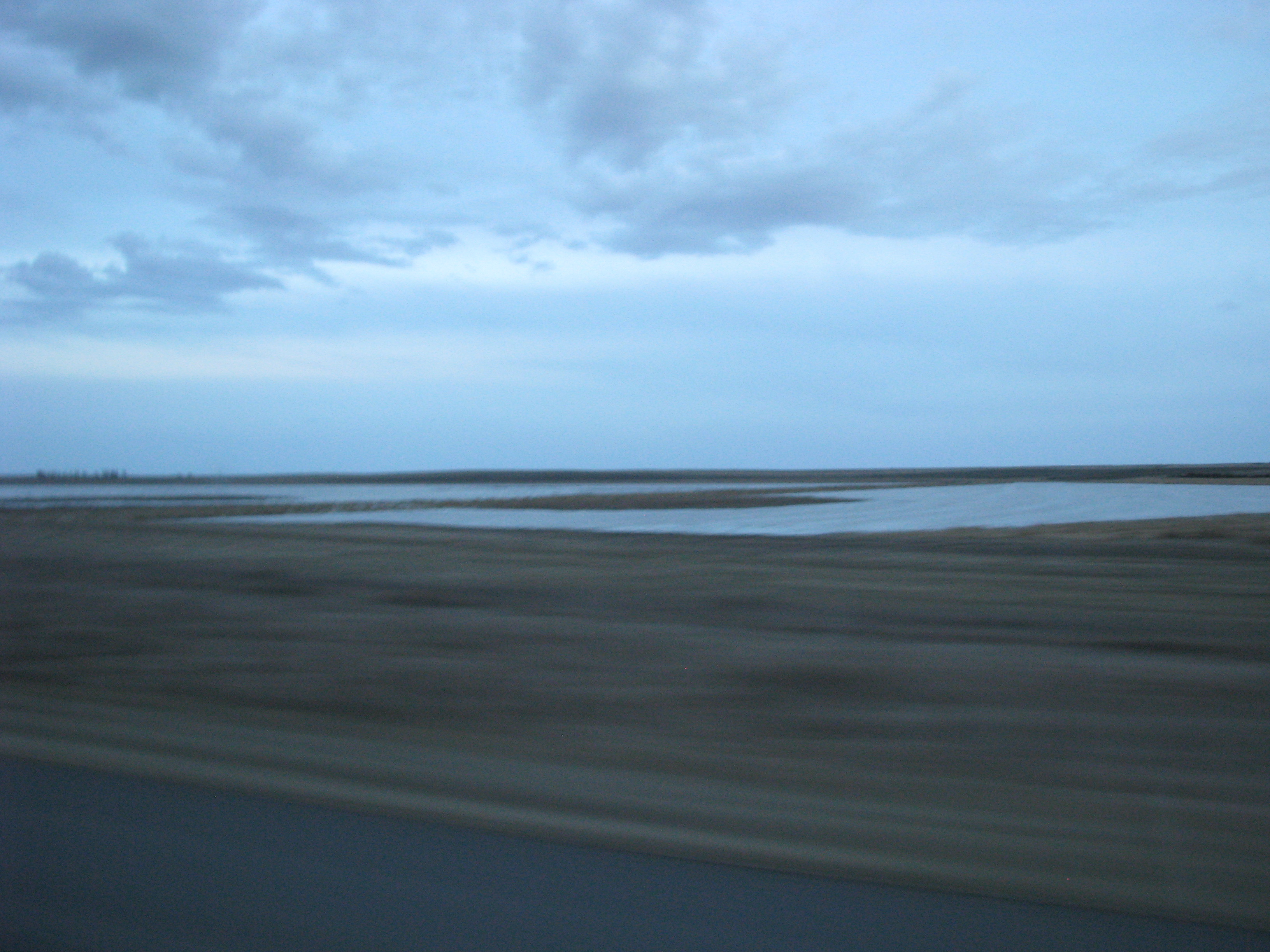
Flooded field
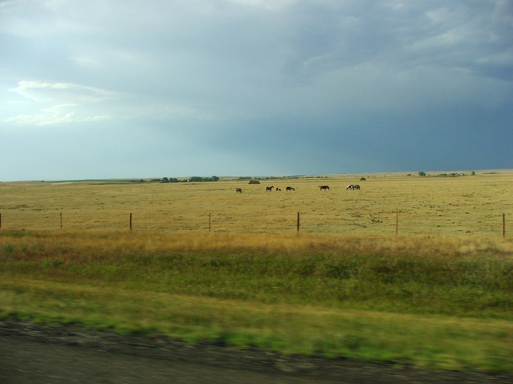
Horse Ranch
In The Middle Of No Where
Seven Forty-Eight PM
Topographic Map of Murdo, SD, USA
Find elevation by address:

Places near Murdo, SD, USA:
Jones County
Okaton Township
Okaton
Cody Township
South Stanley
Stanley County
State Hwy, Fort Pierre, SD, USA
State Hwy, Fort Pierre, SD, USA
Fort Pierre
516 Deadwood St
516 Deadwood St
516 Deadwood St
516 Deadwood St
516 Deadwood St
Missouri River
Hustan Ave, Fort Pierre, SD, USA
Rousseau Avenue
313 S Pierre St
Pierre
1600 E Dakota Ave
Recent Searches:
- Elevation of Redondo Ave, Long Beach, CA, USA
- Elevation of Sadovaya Ulitsa, 20, Rezh, Sverdlovskaya oblast', Russia
- Elevation of Ulitsa Kalinina, 79, Rezh, Sverdlovskaya oblast', Russia
- Elevation of 72-31 Metropolitan Ave, Middle Village, NY, USA
- Elevation of 76 Metropolitan Ave, Brooklyn, NY, USA
- Elevation of Alisal Rd, Solvang, CA, USA
- Elevation of Vista Blvd, Sparks, NV, USA
- Elevation of 15th Ave SE, St. Petersburg, FL, USA
- Elevation of Beall Road, Beall Rd, Florida, USA
- Elevation of Leguwa, Nepal