Elevation of Garfield County, OK, USA
Location: United States > Oklahoma >
Longitude: -97.87216
Latitude: 36.4361392
Elevation: 386m / 1266feet
Barometric Pressure: 0KPa
Related Photos:
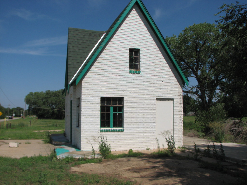
Enid Phillips -Side View

Vintage panorama view of Enid, Okla., town square, ca. 1900
The gorgeous views of Enid, OK
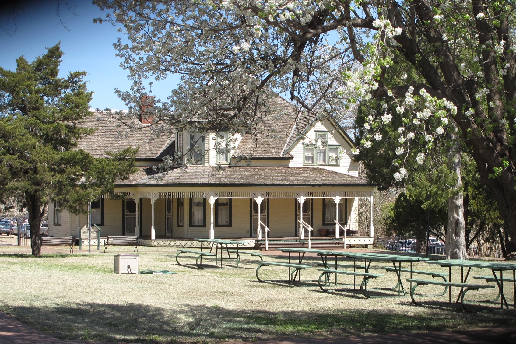
Humphrey Heritage Village, Enid (Okla.), 31 March 2010

Golden Wheat
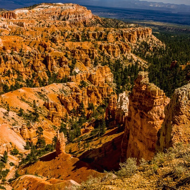
Bryce Canyon National Park

Go Rail, Oklahoma
Chase2007-572
Chase2007-573
Chase2007-571

Post 2270
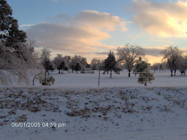
Winter scene
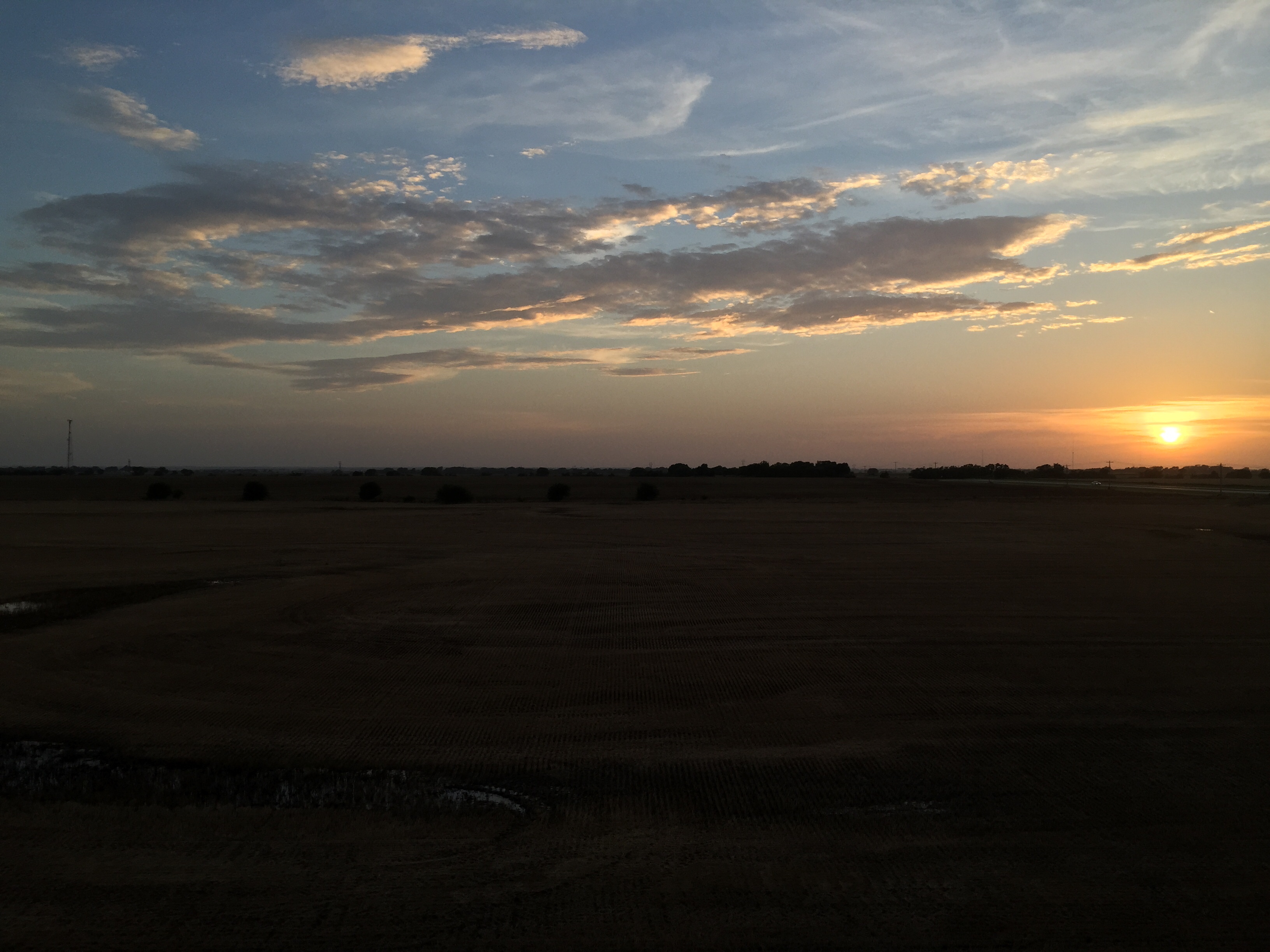
Enid sunset

Enid sunset

Racing the Shelf Cloud
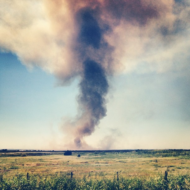
Fire on Tuesday. #rural #oklahoma
Topographic Map of Garfield County, OK, USA
Find elevation by address:

Places in Garfield County, OK, USA:
Places near Garfield County, OK, USA:
Shady Lane Rv Park
2436 N 11th St
1560 N Adams St
1201 W Willow Rd
2602 Clairemont
2311 W Willow Rd
Enid
330 S 5th St
1432 E Cherokee Ave
821 W Illinois Ave
Liberty Ln, Enid, OK, USA
1318 Suggett Ave
Short Stop
1310 Gannon Ave
Glenwood Elementary School
Atwoods Store
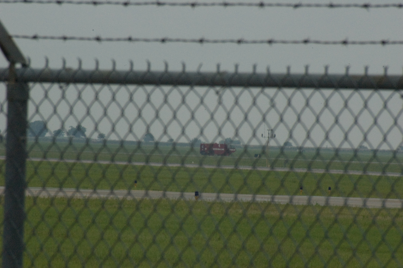
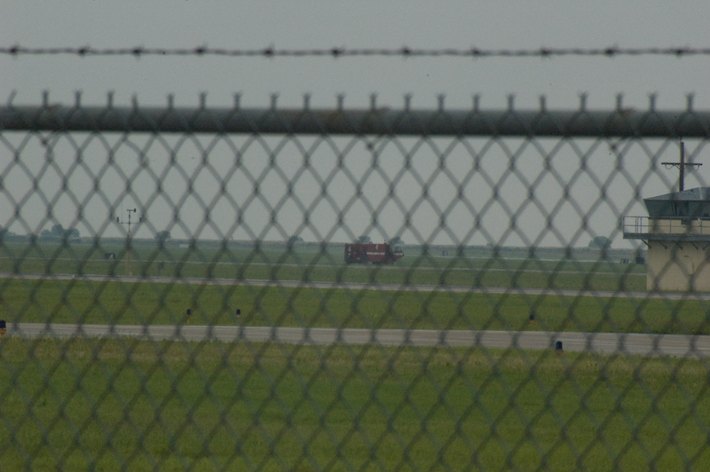
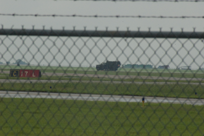
Vance Air Force Base
2818 N Imo Rd
Kremlin
Main St, Kremlin, OK, USA
Recent Searches:
- Elevation map of Greenland, Greenland
- Elevation of Sullivan Hill, New York, New York, 10002, USA
- Elevation of Morehead Road, Withrow Downs, Charlotte, Mecklenburg County, North Carolina, 28262, USA
- Elevation of 2800, Morehead Road, Withrow Downs, Charlotte, Mecklenburg County, North Carolina, 28262, USA
- Elevation of Yangbi Yi Autonomous County, Yunnan, China
- Elevation of Pingpo, Yangbi Yi Autonomous County, Yunnan, China
- Elevation of Mount Malong, Pingpo, Yangbi Yi Autonomous County, Yunnan, China
- Elevation map of Yongping County, Yunnan, China
- Elevation of North 8th Street, Palatka, Putnam County, Florida, 32177, USA
- Elevation of 107, Big Apple Road, East Palatka, Putnam County, Florida, 32131, USA
- Elevation of Jiezi, Chongzhou City, Sichuan, China
- Elevation of Chongzhou City, Sichuan, China
- Elevation of Huaiyuan, Chongzhou City, Sichuan, China
- Elevation of Qingxia, Chengdu, Sichuan, China
- Elevation of Corso Fratelli Cairoli, 35, Macerata MC, Italy
- Elevation of Tallevast Rd, Sarasota, FL, USA
- Elevation of 4th St E, Sonoma, CA, USA
- Elevation of Black Hollow Rd, Pennsdale, PA, USA
- Elevation of Oakland Ave, Williamsport, PA, USA
- Elevation of Pedrógão Grande, Portugal