Elevation of Drummond, OK, USA
Location: United States > Oklahoma > Garfield County >
Longitude: -98.035895
Latitude: 36.3003124
Elevation: 374m / 1227feet
Barometric Pressure: 97KPa
Elevation Map:
Satellite Map:
Related Photos:

The gorgeous views of Enid, OK
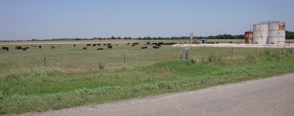
Western Oklahoma Landscape (Major County, Oklahoma)

"The Enlightened Road"

"Falling Skies"

"Oklahoma Sun (1)"

"Oklahoma Sun (Portrait)"

"Setting Path"

"The Dark Road"

Chase2007-572

Chase2007-573

Chase2007-571

The Summer Office

scardey dog
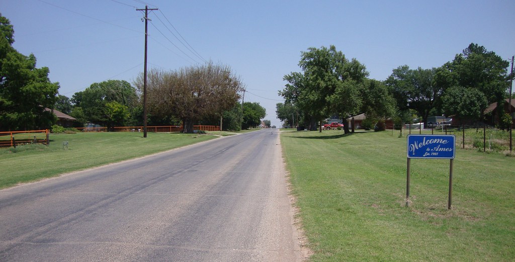
Entering Ames, Oklahoma

Enid sunset
Ames,OK

Enid sunset
Topographic Map of Drummond, OK, USA
Find elevation by address:

Places in Drummond, OK, USA:
Places near Drummond, OK, USA:
N Main St, Waukomis, OK, USA
Bob Dunlap Dozer Services Inc
S Imo Rd, Enid, OK, USA
Vance Air Force Base
Atwoods Store
2818 N Imo Rd
Glenwood Elementary School
1318 Suggett Ave
1310 Gannon Ave
Liberty Ln, Enid, OK, USA
821 W Illinois Ave
2311 W Willow Rd
Vine St, Carrier, OK, USA
2602 Clairemont
1201 W Willow Rd
Enid
330 S 5th St
1560 N Adams St
1432 E Cherokee Ave
Shady Lane Rv Park
Recent Searches:
- Elevation of Corso Fratelli Cairoli, 35, Macerata MC, Italy
- Elevation of Tallevast Rd, Sarasota, FL, USA
- Elevation of 4th St E, Sonoma, CA, USA
- Elevation of Black Hollow Rd, Pennsdale, PA, USA
- Elevation of Oakland Ave, Williamsport, PA, USA
- Elevation of Pedrógão Grande, Portugal
- Elevation of Klee Dr, Martinsburg, WV, USA
- Elevation of Via Roma, Pieranica CR, Italy
- Elevation of Tavkvetili Mountain, Georgia
- Elevation of Hartfords Bluff Cir, Mt Pleasant, SC, USA