Elevation of Vance Air Force Base, W Fox Dr, Enid, OK, USA
Location: United States > Oklahoma > Garfield County > Enid >
Longitude: -97.913060
Latitude: 36.3393001
Elevation: 390m / 1280feet
Barometric Pressure: 97KPa
Elevation Map:
Satellite Map:
Related Photos:
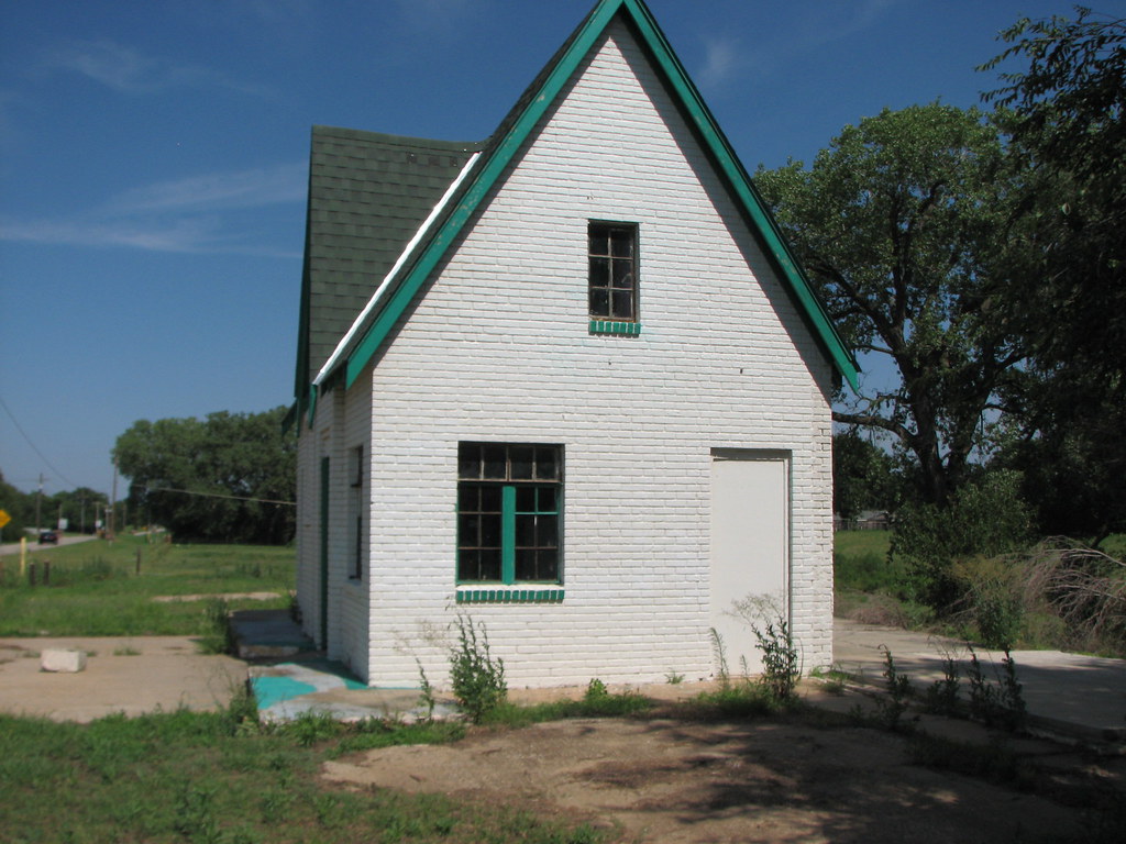
Enid Phillips -Side View
The gorgeous views of Enid, OK
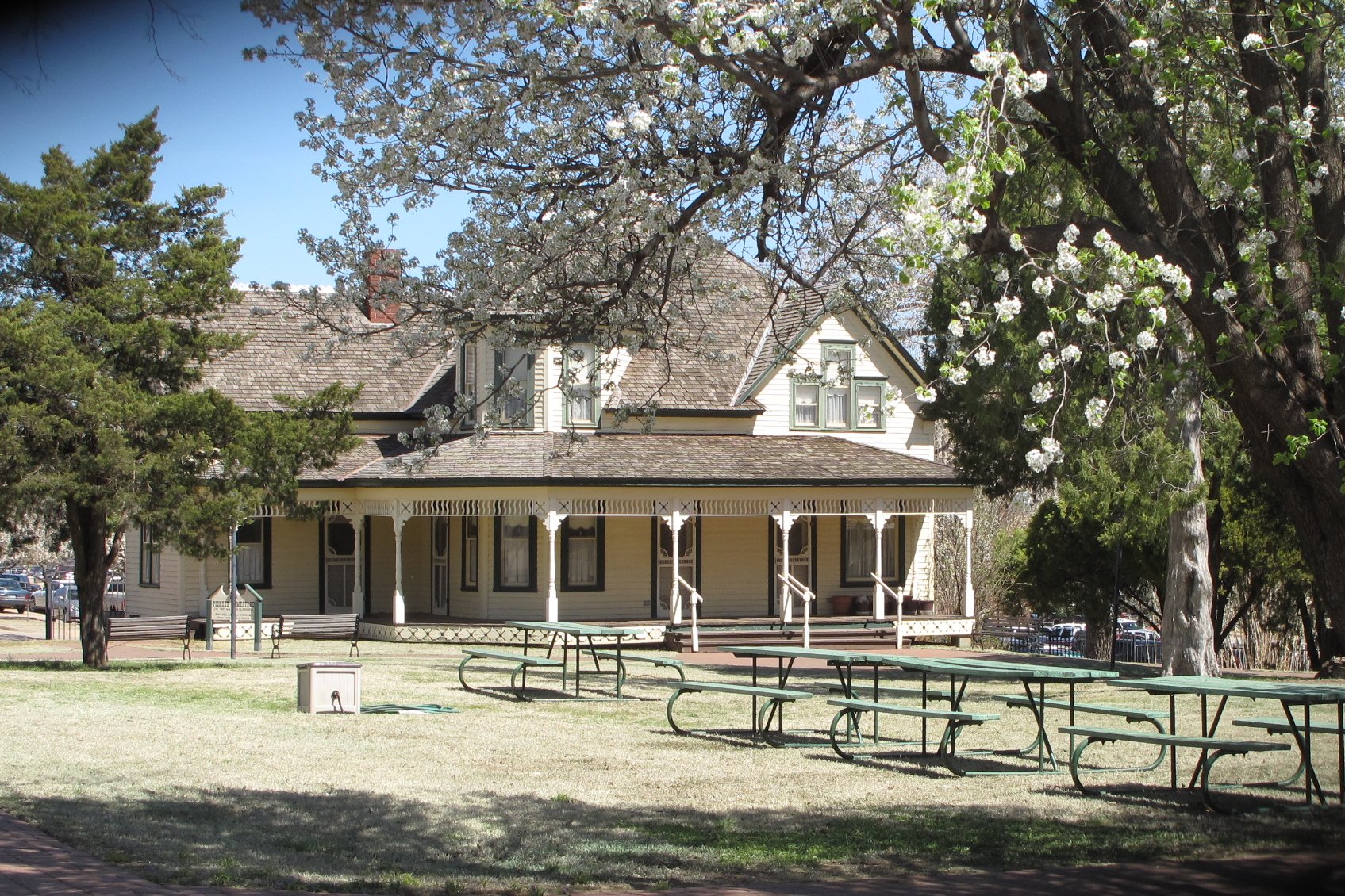
Humphrey Heritage Village, Enid (Okla.), 31 March 2010

Bryce Canyon National Park

Bryce Canyon National Park

Go Rail, Oklahoma

End of the day walk, admiring the sun (end of our wet spell) and contemplating my blessings. ????

Chase2007-573
Chase2007-572

Chase2007-571

scardey dog

Enid Cemetery, Enid, OK (7)

Enid sunset
Topographic Map of Vance Air Force Base, W Fox Dr, Enid, OK, USA
Find elevation by address:

Places near Vance Air Force Base, W Fox Dr, Enid, OK, USA:
1310 Gannon Ave
1318 Suggett Ave
821 W Illinois Ave
Atwoods Store
Enid
Glenwood Elementary School
S Imo Rd, Enid, OK, USA
330 S 5th St
1560 N Adams St
1432 E Cherokee Ave
2311 W Willow Rd
1201 W Willow Rd
Liberty Ln, Enid, OK, USA
Short Stop
2602 Clairemont
2436 N 11th St
Shady Lane Rv Park
Garfield County
2818 N Imo Rd
Spring Green
Recent Searches:
- Elevation of 62 Abbey St, Marshfield, MA, USA
- Elevation of Fernwood, Bradenton, FL, USA
- Elevation of Felindre, Swansea SA5 7LU, UK
- Elevation of Leyte Industrial Development Estate, Isabel, Leyte, Philippines
- Elevation of W Granada St, Tampa, FL, USA
- Elevation of Pykes Down, Ivybridge PL21 0BY, UK
- Elevation of Jalan Senandin, Lutong, Miri, Sarawak, Malaysia
- Elevation of Bilohirs'k
- Elevation of 30 Oak Lawn Dr, Barkhamsted, CT, USA
- Elevation of Luther Road, Luther Rd, Auburn, CA, USA