Elevation of Atwoods Store, W Owen K Garriott Rd, Enid, OK, USA
Location: United States > Oklahoma > Garfield County > Enid >
Longitude: -97.945712
Latitude: 36.3929326
Elevation: 397m / 1302feet
Barometric Pressure: 97KPa
Elevation Map:
Satellite Map:
Related Photos:
Enid Phillips -Side View

Vintage panorama view of Enid, Okla., town square, ca. 1900
The gorgeous views of Enid, OK
Humphrey Heritage Village, Enid (Okla.), 31 March 2010

Bryce Canyon National Park

Bryce Canyon National Park

Go Rail, Oklahoma
Chase2007-572
End of the day walk, admiring the sun (end of our wet spell) and contemplating my blessings. ????
Chase2007-571
Chase2007-573

Post 2270
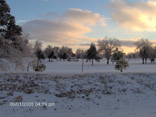
Winter scene
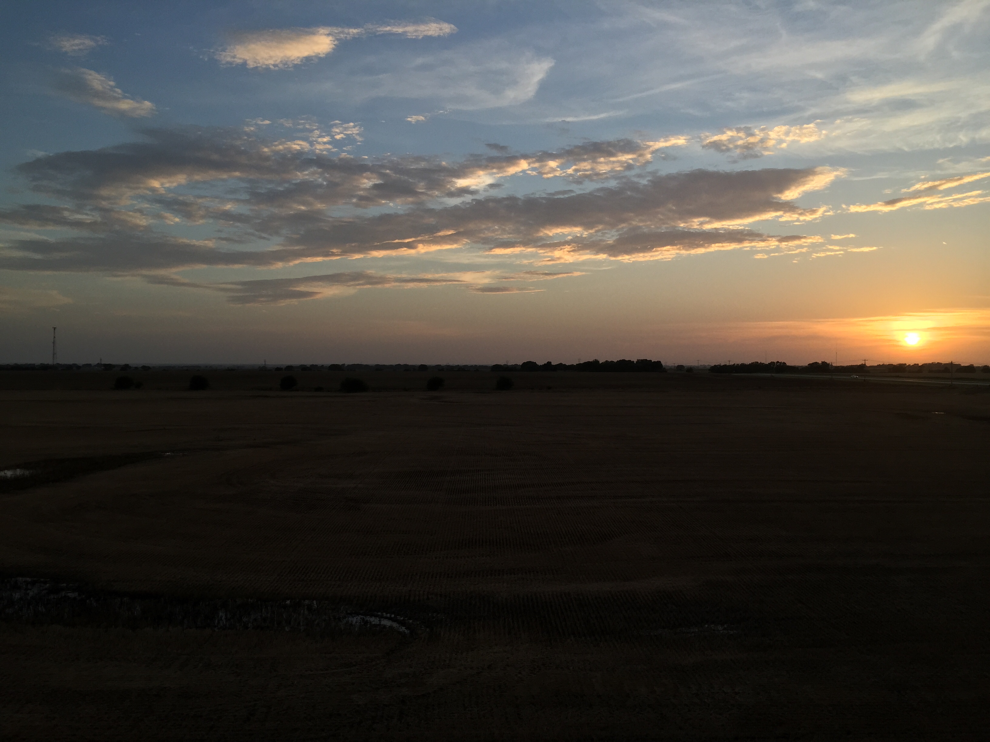
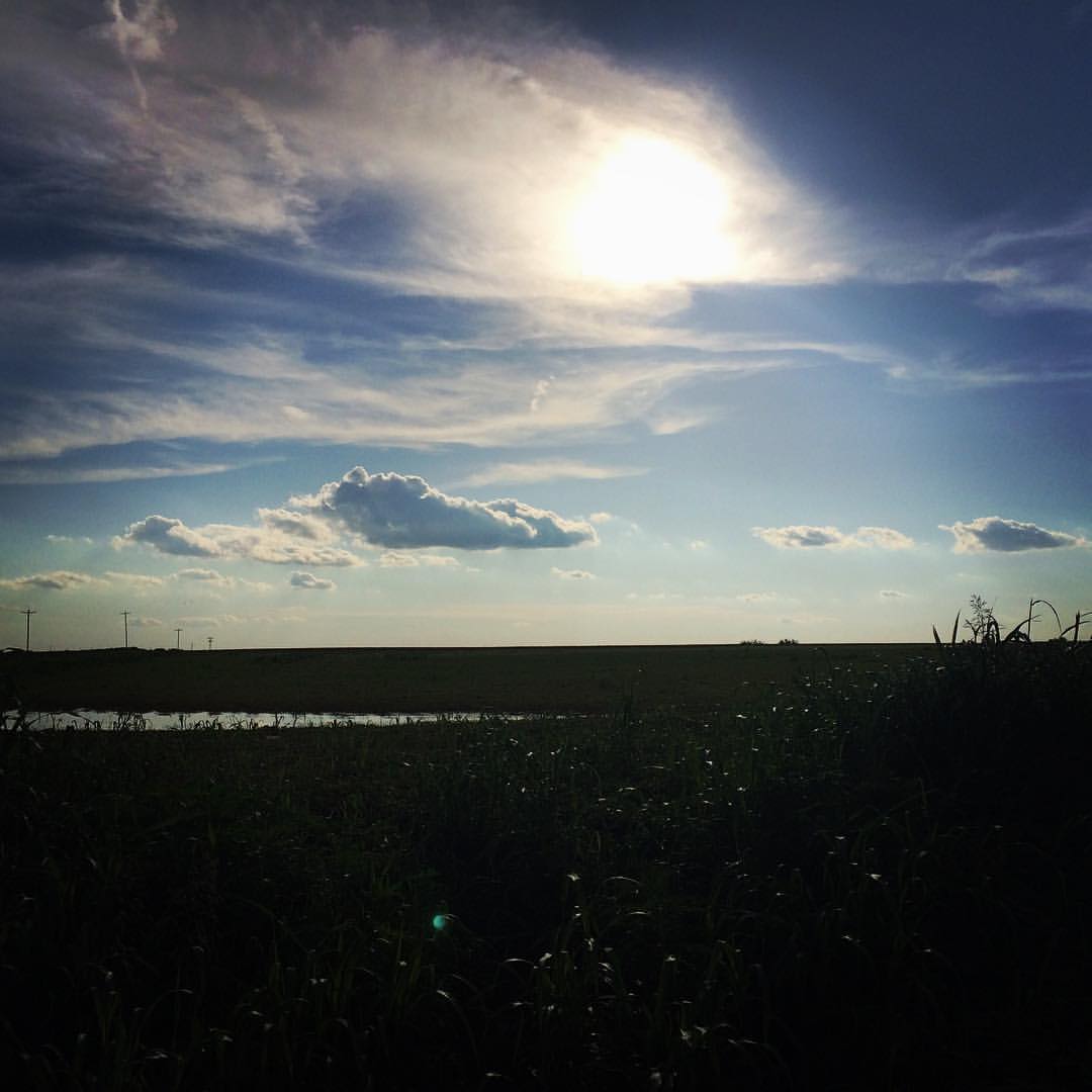
Enid sunset

Enid sunset

"Golden Road"
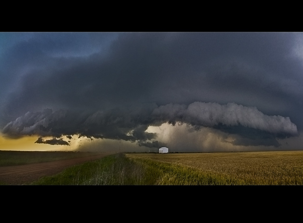
Racing the Shelf Cloud

The Summer Office
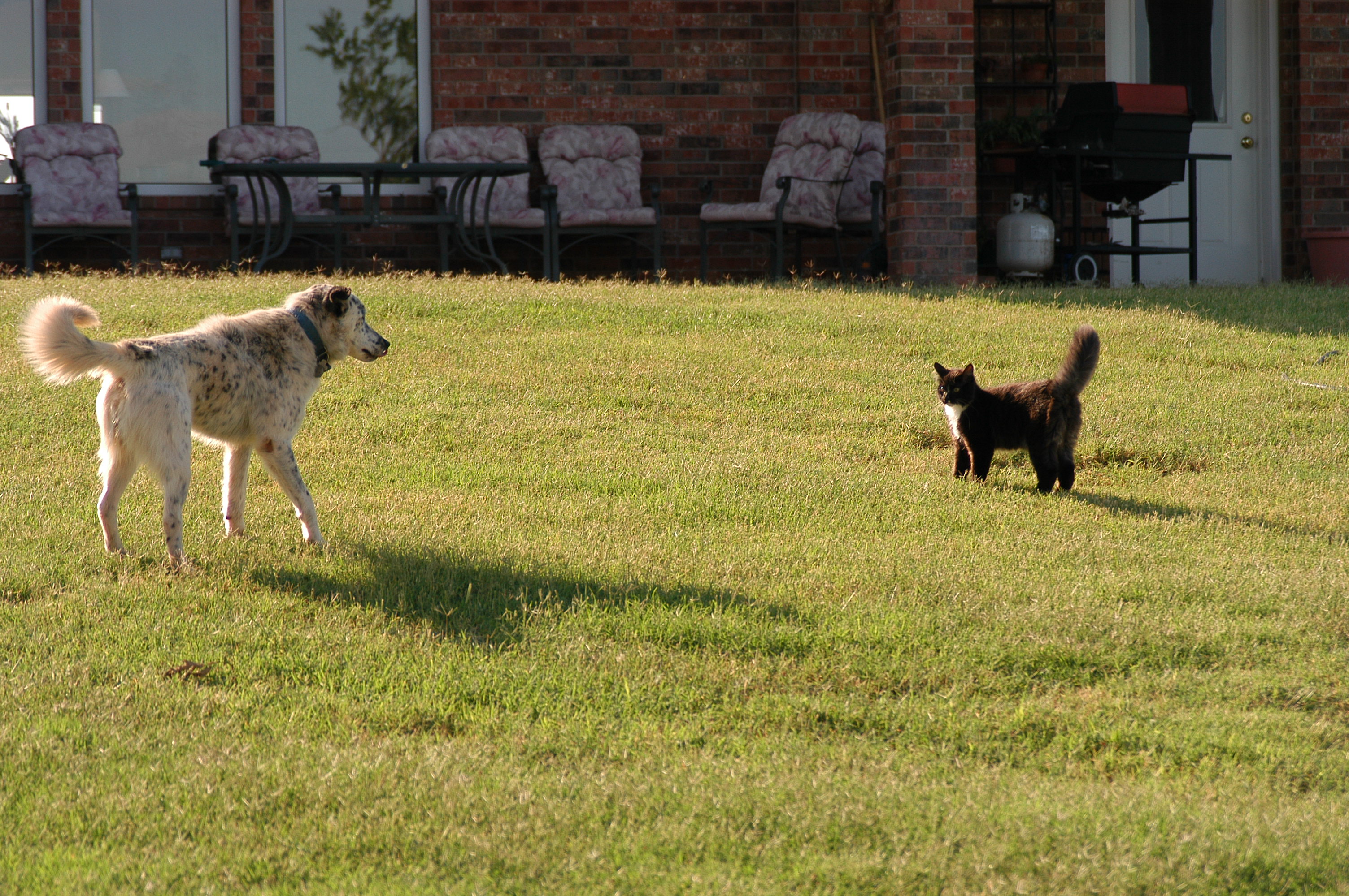
scardey dog
Topographic Map of Atwoods Store, W Owen K Garriott Rd, Enid, OK, USA
Find elevation by address:

Places near Atwoods Store, W Owen K Garriott Rd, Enid, OK, USA:
Glenwood Elementary School
Liberty Ln, Enid, OK, USA
2311 W Willow Rd
2818 N Imo Rd
1318 Suggett Ave
S Imo Rd, Enid, OK, USA
2602 Clairemont
1310 Gannon Ave
1201 W Willow Rd
821 W Illinois Ave
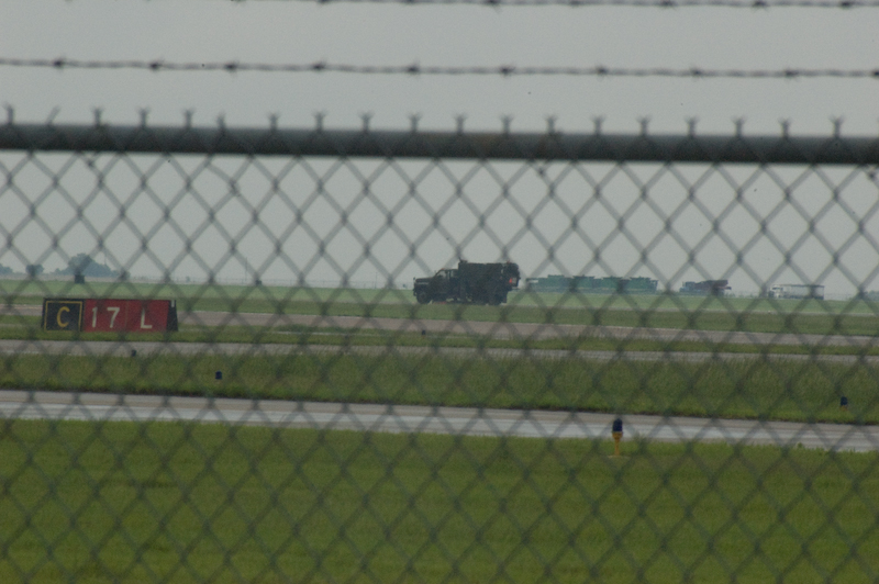
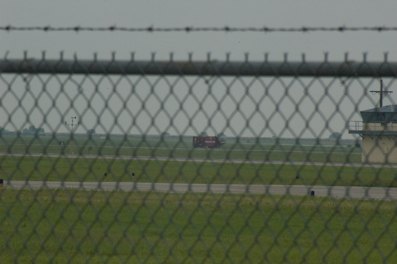
Vance Air Force Base
1560 N Adams St
Enid
330 S 5th St
Shady Lane Rv Park
Garfield County
2436 N 11th St
1432 E Cherokee Ave
Short Stop
Vine St, Carrier, OK, USA
Recent Searches:
- Elevation of 15th Ave SE, St. Petersburg, FL, USA
- Elevation of Beall Road, Beall Rd, Florida, USA
- Elevation of Leguwa, Nepal
- Elevation of County Rd, Enterprise, AL, USA
- Elevation of Kolchuginsky District, Vladimir Oblast, Russia
- Elevation of Shustino, Vladimir Oblast, Russia
- Elevation of Lampiasi St, Sarasota, FL, USA
- Elevation of Elwyn Dr, Roanoke Rapids, NC, USA
- Elevation of Congressional Dr, Stevensville, MD, USA
- Elevation of Bellview Rd, McLean, VA, USA