Elevation of Covington, OK, USA
Location: United States > Oklahoma > Garfield County >
Longitude: -97.586437
Latitude: 36.3075359
Elevation: 351m / 1152feet
Barometric Pressure: 97KPa
Elevation Map:
Satellite Map:
Related Photos:
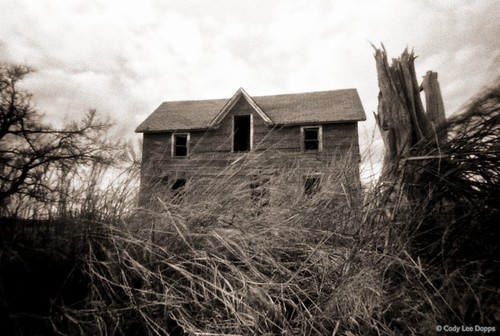
From the Pinhole
Wx enid1

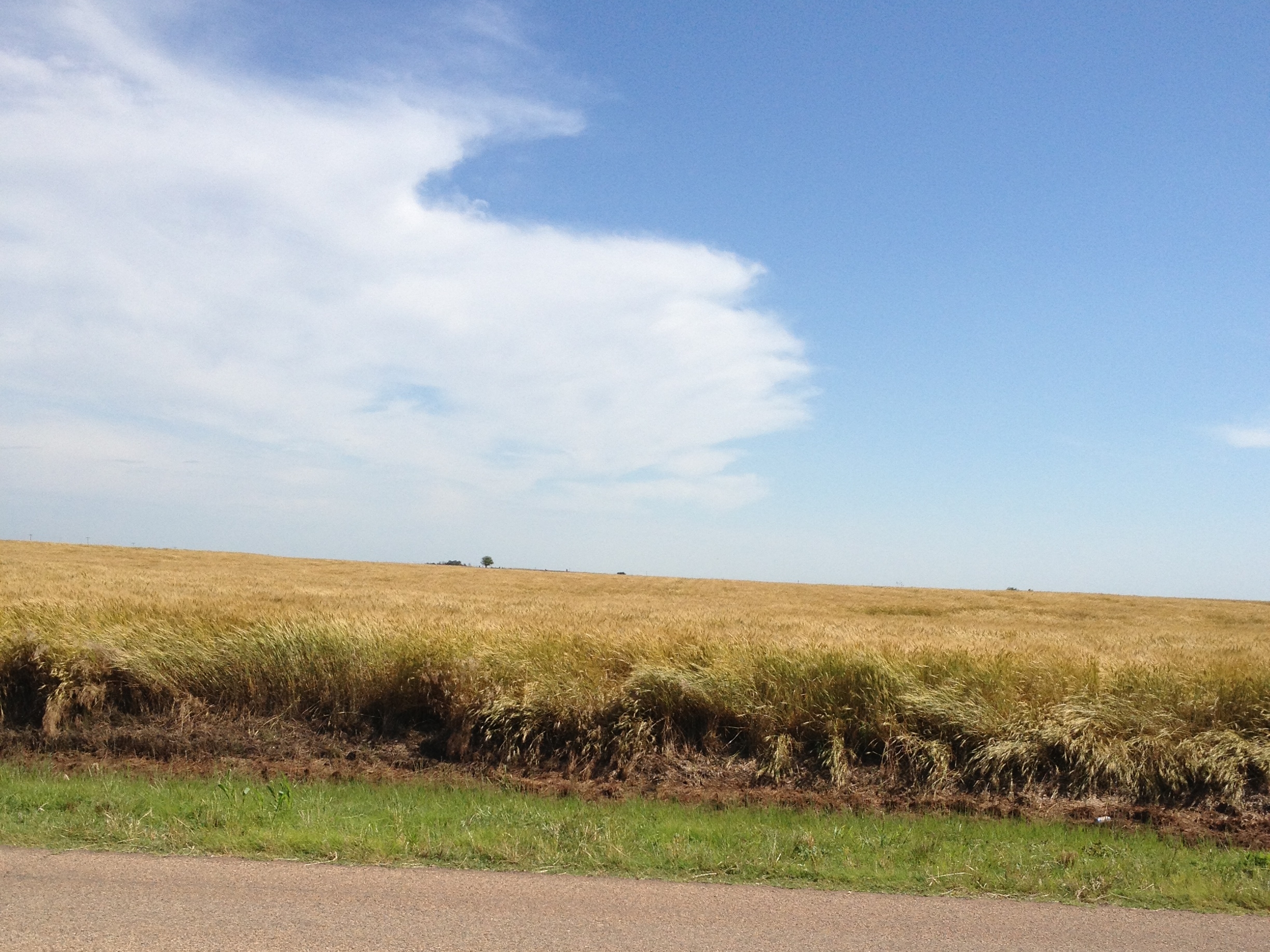
Northwestern Oklahoma Landscape (Garfield County, Oklahoma)

Douglas, Oklahoma
Eagle Street Crossing
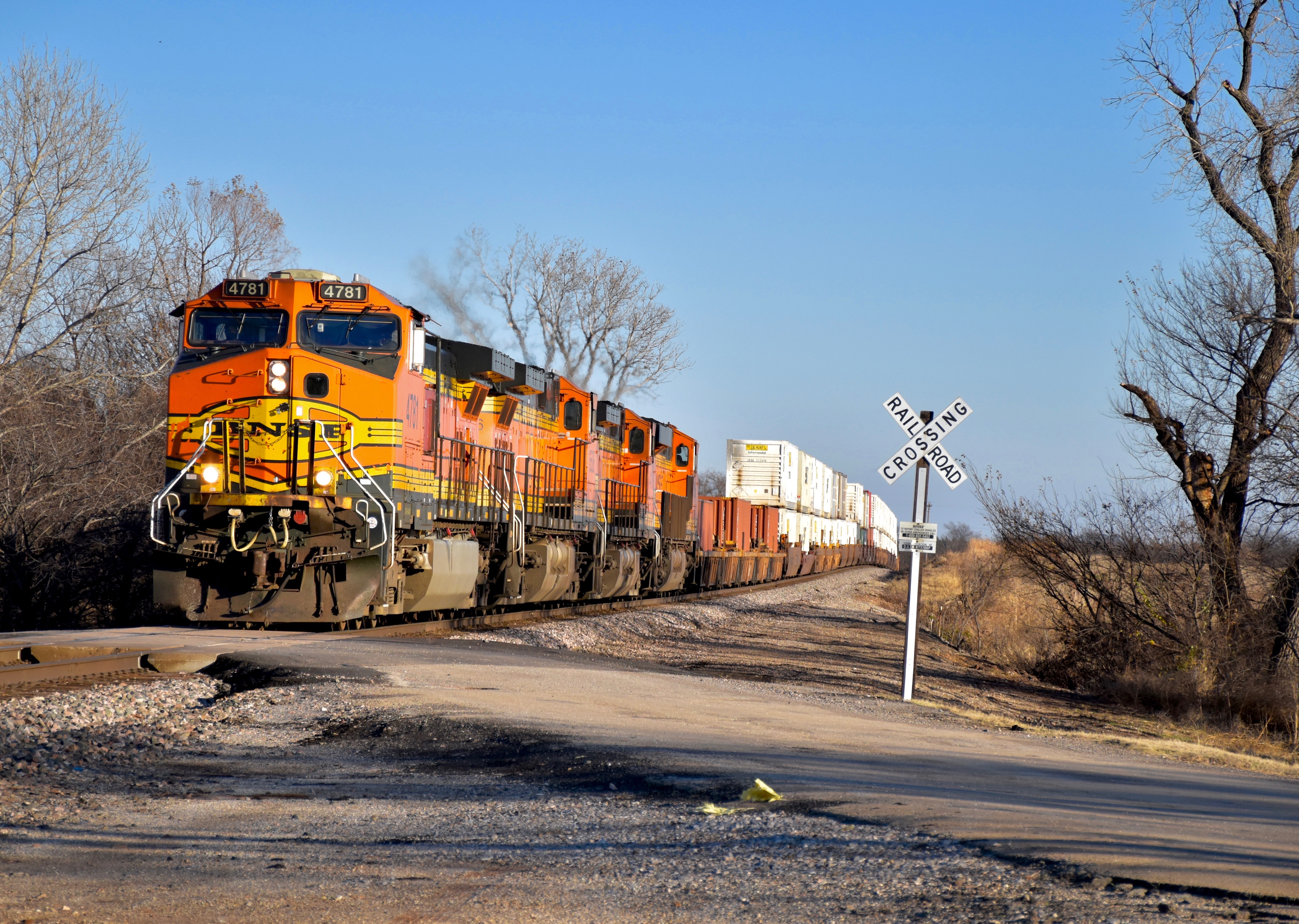
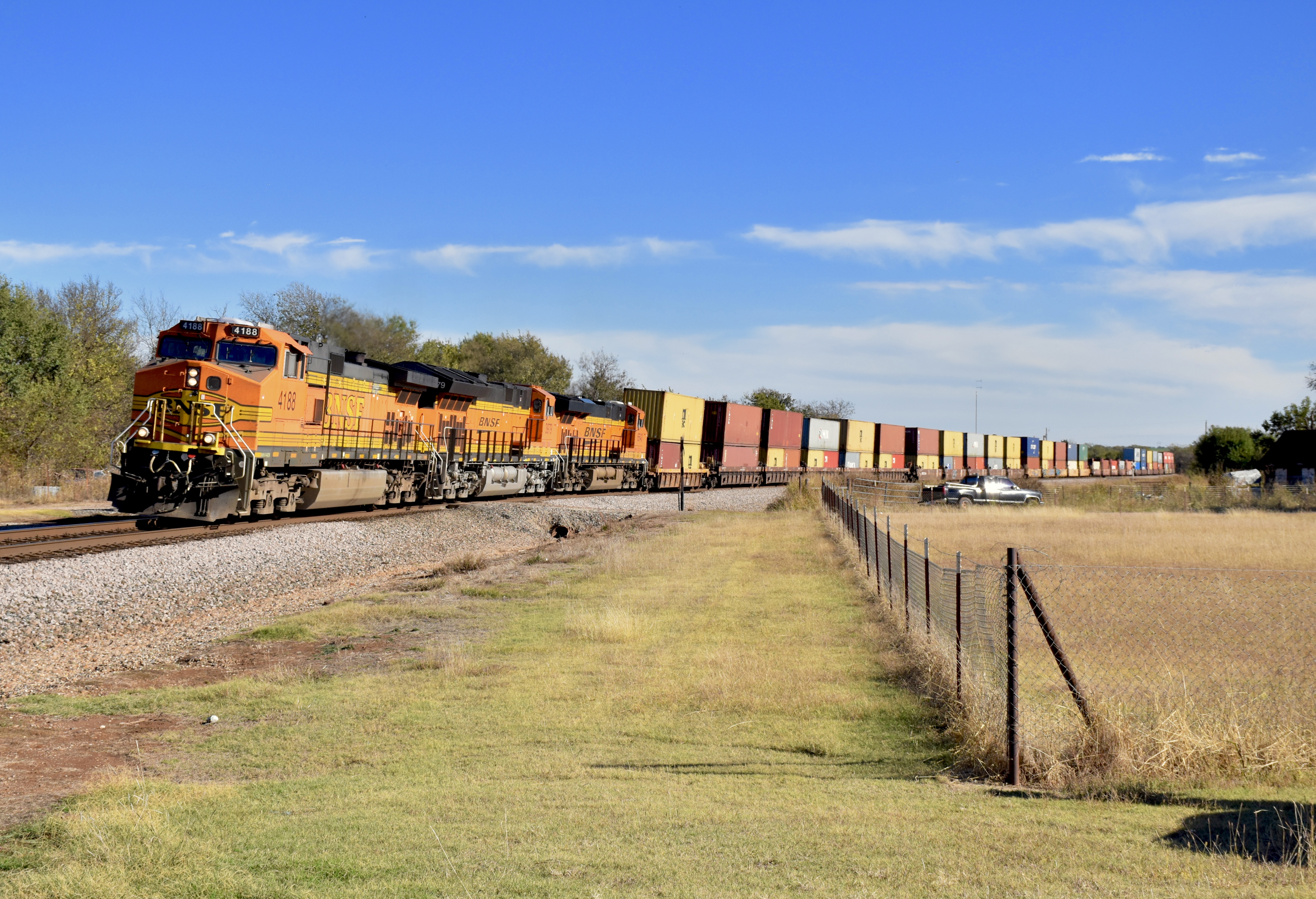
Westbound Hotshot
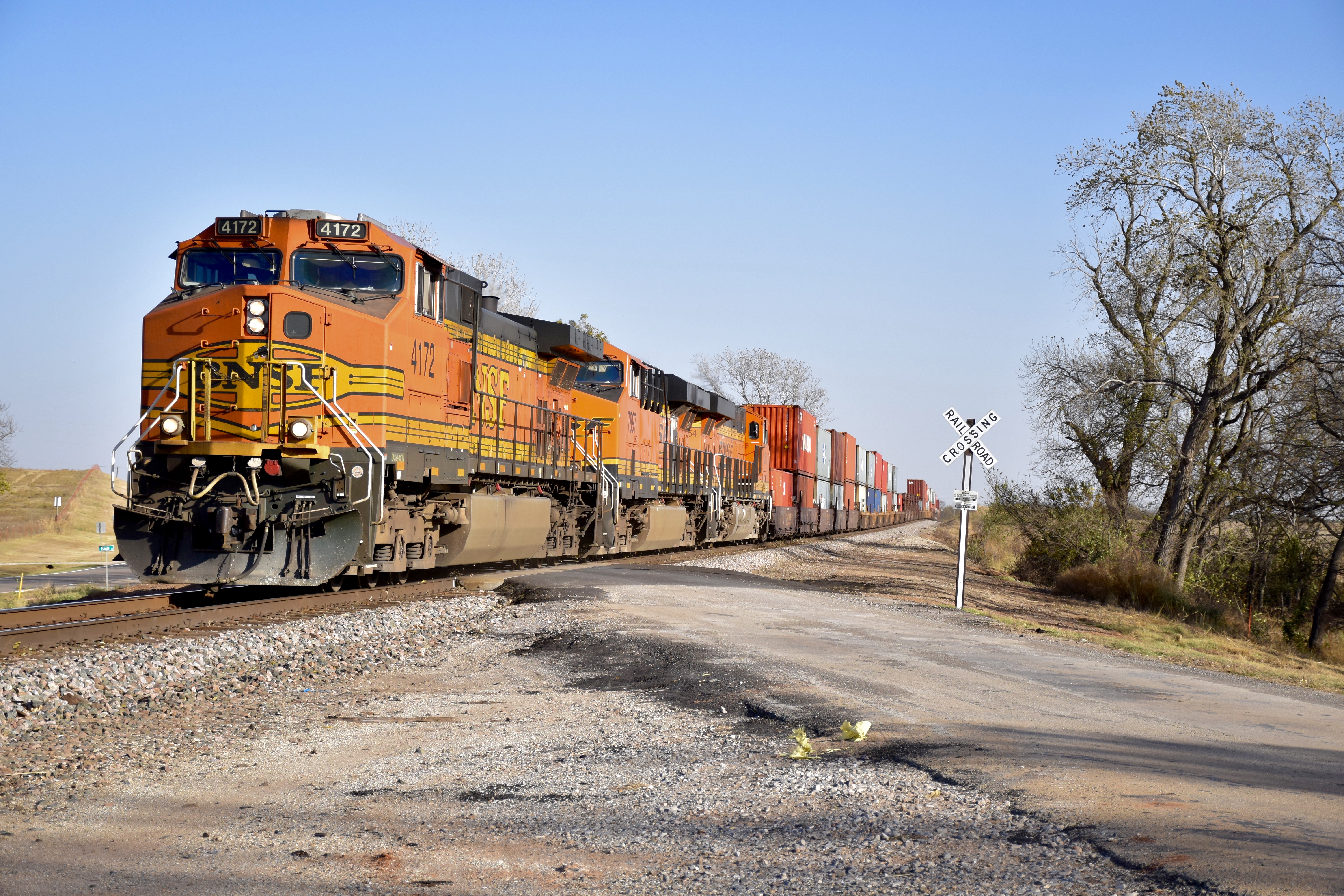
Flying Through the Boonies
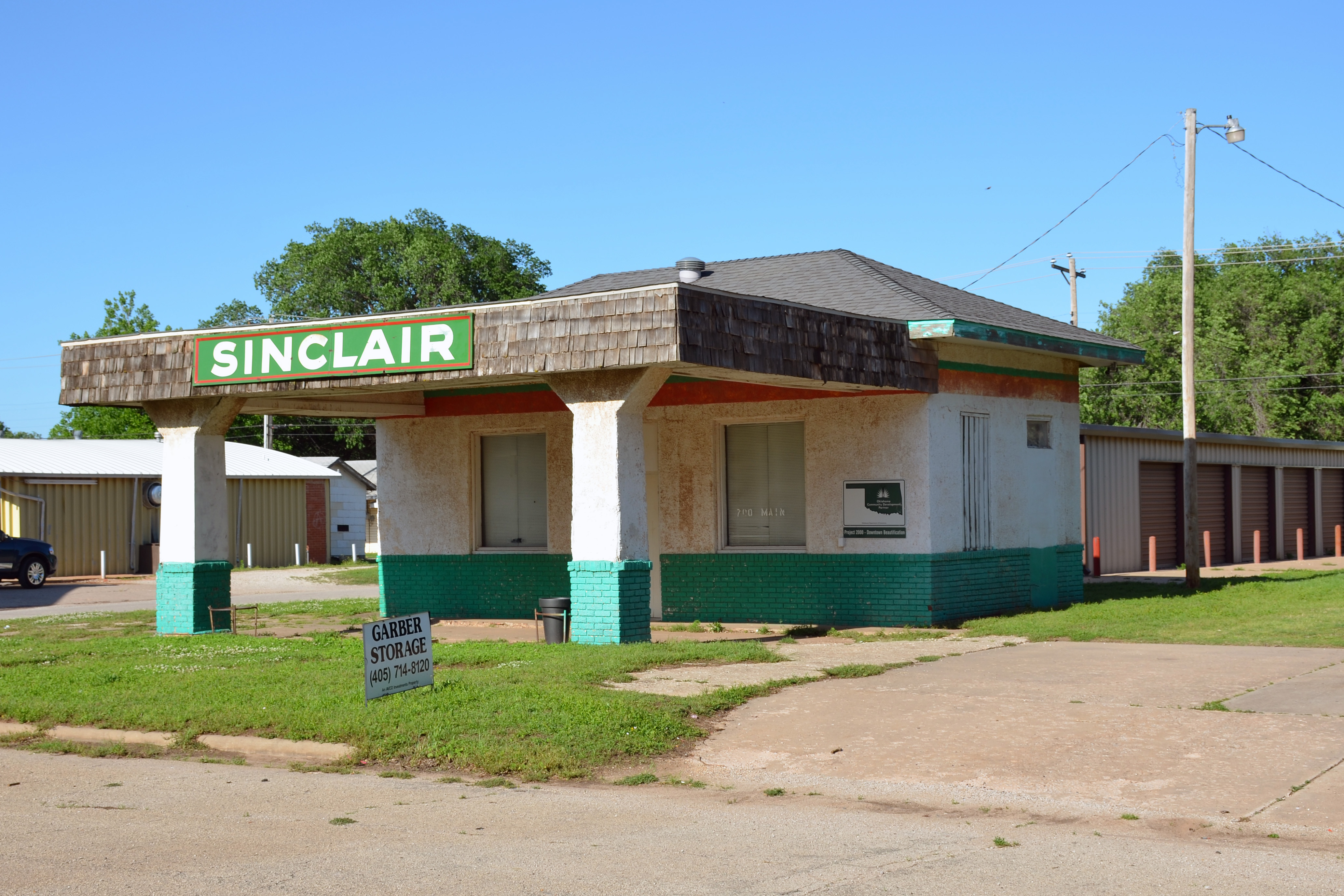
Oklahoma, Garber, Sinclair (9,418)
Old Post Office 73757 (Lucien, Oklahoma)

Old Gas Station and Post Office 73757 (Lucien, Oklahoma)

Getting treated to a country lunch with Chad @sixonesixstudio #lunch #rural
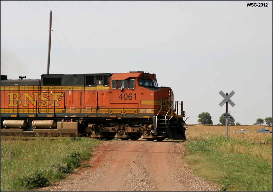
BNSF 4061

Post Office 73730 (Covington, Oklahoma)

Garber, Oklahoma City Hall
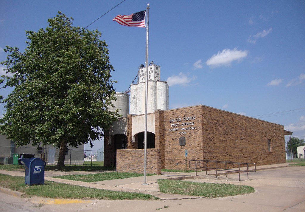
Post Office 73738 (Garber, Oklahoma)
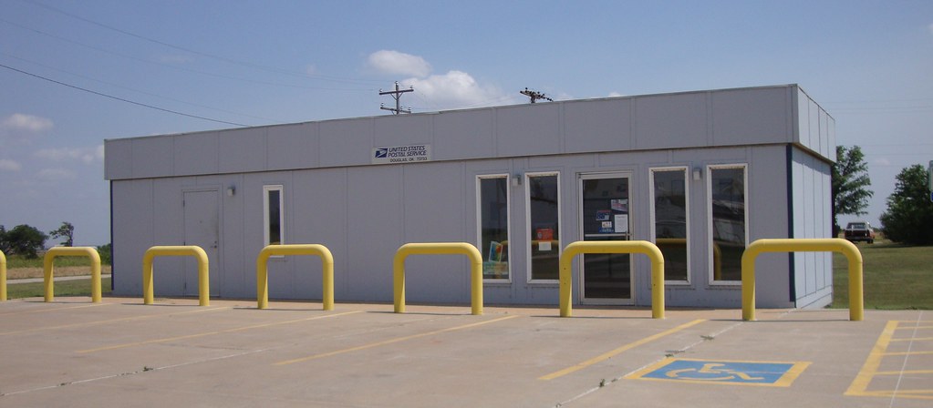
Post Office 73733 (Douglas, Oklahoma)

Post Office 73736 (Fairmont, Oklahoma)
2011-04-08_5503
2011-04-08_5507

1003 barn ll

your Grandfather's Oldsmobile

bucket full
Topographic Map of Covington, OK, USA
Find elevation by address:

Places in Covington, OK, USA:
Places near Covington, OK, USA:
1st St, Covington, OK, USA
Garber
300 N Missouri St
Marshall
Phillips, Enid, OK, USA
Spring Green
Kansas Ave, Crescent, OK, USA
Orlando
5th St, Orlando, OK, USA
Billings
Short Stop
1432 E Cherokee Ave
810 Jackson St
330 S 5th St
2436 N 11th St
Perry
Enid
821 W Illinois Ave
Garfield County
1560 N Adams St
Recent Searches:
- Elevation of Elwyn Dr, Roanoke Rapids, NC, USA
- Elevation of Congressional Dr, Stevensville, MD, USA
- Elevation of Bellview Rd, McLean, VA, USA
- Elevation of Stage Island Rd, Chatham, MA, USA
- Elevation of Shibuya Scramble Crossing, 21 Udagawacho, Shibuya City, Tokyo -, Japan
- Elevation of Jadagoniai, Kaunas District Municipality, Lithuania
- Elevation of Pagonija rock, Kranto 7-oji g. 8"N, Kaunas, Lithuania
- Elevation of Co Rd 87, Jamestown, CO, USA
- Elevation of Tenjo, Cundinamarca, Colombia
- Elevation of Côte-des-Neiges, Montreal, QC H4A 3J6, Canada